The best MTB trails around Fara Vicentino
4.4
(1714)
10,178
riders
319
rides
Mountain biking around Fara Vicentino offers diverse landscapes and varied terrain, making it a compelling destination for outdoor enthusiasts. The region is characterized by hills and valleys, including the Astico Valley and the Cherry Hills, which provide the elevation and topography for mountain biking. Riders can expect a mix of challenging climbs and descents across its natural features.
Best mountain bike trails around Fara Vicentino
- The most popular mountain bike trail is Colceresa Cherry Hills Loop, a 21.3 miles…
Last updated: October 1, 2026
4.5
(19)
60
riders
34.2km
03:07
940m
940m
Hard mountain bike ride. Very good fitness required. Advanced riding skills necessary. Some portions of the route may require you to push your bike.
3.4
(5)
13
riders
26.5km
02:23
710m
710m
Hard mountain bike ride. Good fitness required. Advanced riding skills necessary. Some portions of the route may require you to push your bike.

4.0
(1)
14
riders
41.9km
03:39
920m
920m
Hard mountain bike ride. Very good fitness required. Advanced riding skills necessary.
3.0
(1)
18
riders
70.2km
05:06
860m
860m
Hard mountain bike ride. Very good fitness required. Advanced riding skills necessary.
4.0
(1)
14
riders
49.0km
03:53
750m
750m
Moderate mountain bike ride. Good fitness required. Advanced riding skills necessary.
Get access to more routes and recommendations from other explorers.
Already have an account?
Our route recommendations are based on thousands of hikes, rides, and runs completed by other people on komoot.
Start today with a free account
Your next adventure awaits.

Tips from the Community

Villa Piovene (1541) stands just above the contemporary and more renowned Villa Godi (1540), on the same hill of Lonedo... and it's no coincidence! It was indeed commissioned by the Piovenes in open and declared competition with the Godi residence: the two noble families from Vicenza, at the time the most important in the area, were in continuous and increasingly bitter rivalry to divide the large estates of the district. With evident Palladian inspiration, it dominates the hill with its elegance and symmetry: a scenic front staircase, framed by statues and an Italian garden arranged on four terraces, descends from the villa to the sumptuous eighteenth-century wrought iron gate. Villa Piovene Porto Godi (this is the full name) is open in the afternoon from March to September, for a fee (4.5€): the interiors are off-limits as it is a private residence, but you can visit the front garden with its beautiful staircase, the chapel, and the large, silent park with centuries-old trees. https://villapiovene.weebly.com https://loveneto.wordpress.com/2016/11/15/un-cancello-su-lugo/
0
0

the bell tower of Breganze or Torre Diedo (named after the Venetian architect who designed it) with its 90 meters of height is the second highest in Veneto and one of the highest in Italy.
0
0

cycle/pedestrian path, be careful both for bicycles (narrow passage, you must stop to allow passage) and for pedestrians.
0
0

Excellent path on the bank, well beaten. Sometimes the ground is a bit ruined by the passage of dirt bikes
0
0
Beautiful trail just a stone's throw from Breganze
2
0

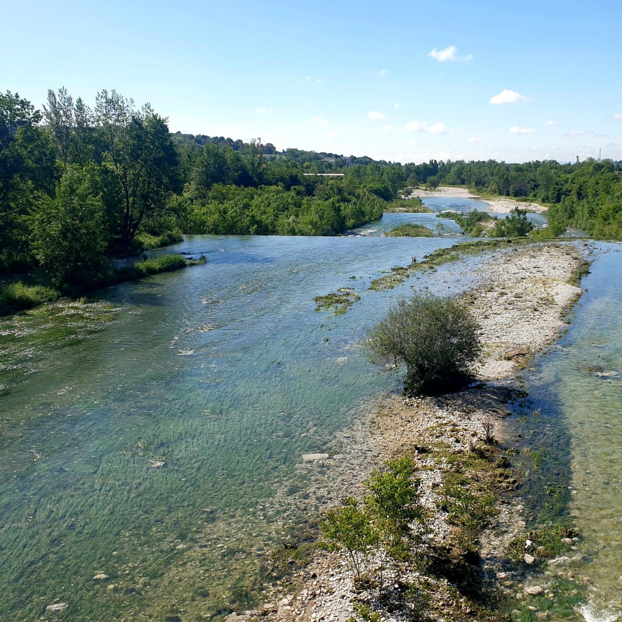
Dirt path along the bank of the Astico stream
0
0

A suggestive path that goes up the right bank of the Astico, flanked by the water channel that feeds the hydroelectric plant located at the beginning of the stretch. Always immersed in vegetation and therefore in the shade, delightful to walk on sultry days.
1
0

nice segment with varied terrain with bits to do off the bike for limestone stones present here and there.. ups and downs even impervious and poorly maintained.
0
0
Frequently Asked Questions
What are the general difficulty levels for mountain biking trails around Fara Vicentino?
The mountain biking trails around Fara Vicentino offer a range of difficulty levels. You'll find options from moderate to difficult, catering to various skill sets. There are 48 easy routes, 183 moderate routes, and 93 difficult routes available, ensuring there's something for every rider.
Are there any easy or family-friendly mountain bike trails in Fara Vicentino?
Yes, Fara Vicentino offers 48 easy mountain bike routes, making it possible to find trails suitable for families or those looking for a less strenuous ride. While specific family-friendly routes aren't detailed, the presence of easy trails suggests options for a more relaxed experience.
What is the best time of year for mountain biking in Fara Vicentino?
The ideal times for mountain biking in Fara Vicentino are spring and autumn. The region experiences warm summers and very cold winters, with partly cloudy skies year-round, making the shoulder seasons perfect for outdoor activities when temperatures are more moderate.
Are there mountain bike trails that feature waterfalls or other natural attractions?
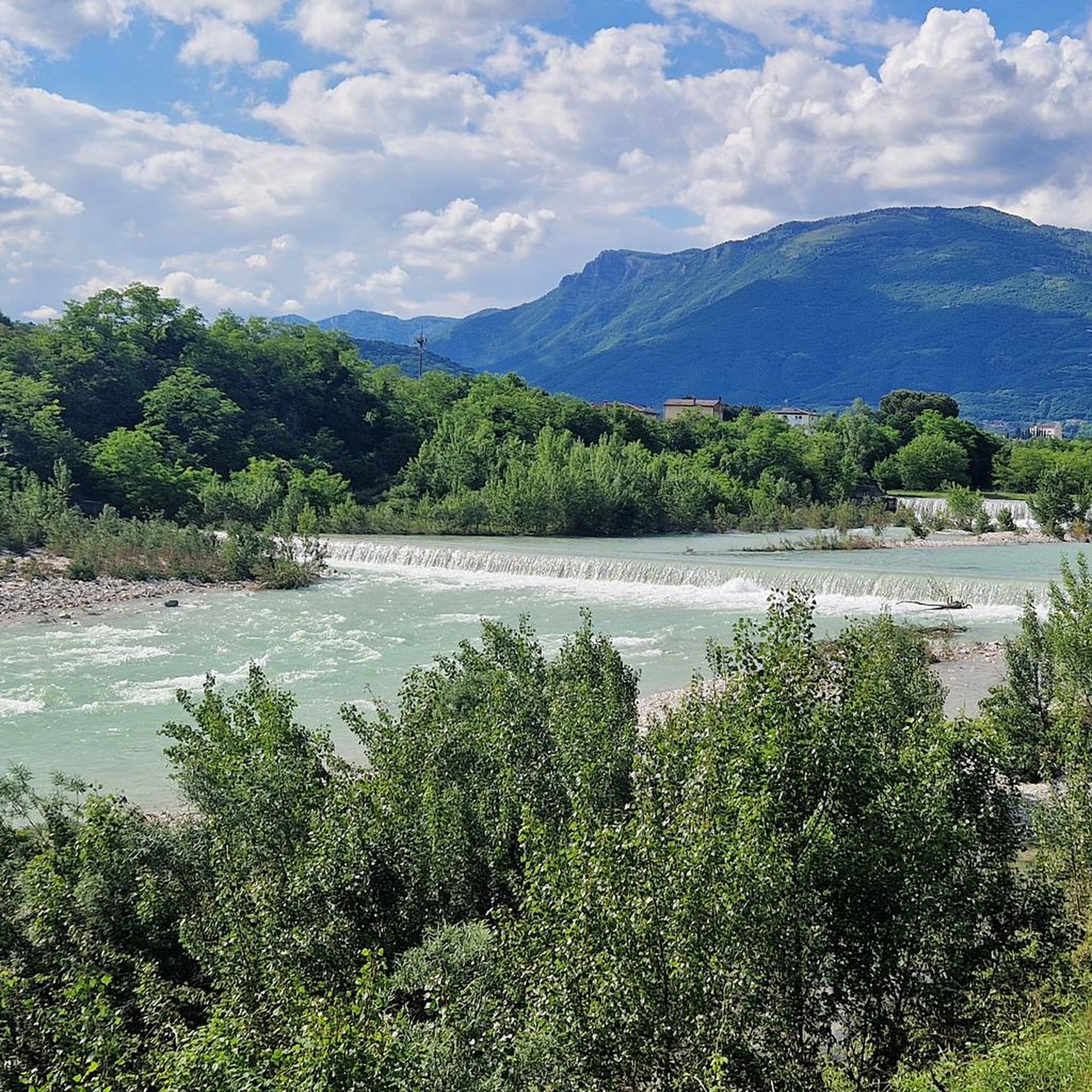
Yes, the region boasts scenic natural features. You can find routes like the Waterfalls on the Astico River – Eremo di San Biagio loop from Lugo di Vicenza, which offers views of the Astico Valley and its waterfalls. The Waterfalls on the Astico River – Covolo of Lusiana loop from Lugo di Vicenza also provides scenic views of the Astico Valley. Additionally, the Silan Waterfalls are a notable natural attraction in the area.
What kind of terrain can I expect on the mountain bike trails in Fara Vicentino?
The terrain around Fara Vicentino is characterized by diverse landscapes, including hills and valleys like the Astico Valley and the Cherry Hills. You can expect a mix of challenging climbs and descents, with some trails featuring fast, flowing sections and rocky areas, offering a varied and engaging experience.
Are there any loop trails for mountain biking in Fara Vicentino?
Yes, many mountain bike trails in Fara Vicentino are designed as loops. Examples include the challenging Colceresa Cherry Hills Loop, the Carega del Diavolo and Salcedo Hills Loop, and the Anguane's Cave – Tisa climb loop from Breganze.
What are some notable landmarks or points of interest near the mountain bike trails?
Beyond the trails, you can explore several interesting landmarks. These include the Barenthal British Cemetery, the Mount Corno Monument, and the historic Piazza degli Scacchi in Marostica. The Silan Waterfalls are also a beautiful natural highlight.
How long do mountain bike trails typically take to complete in this area?
Trail durations vary significantly based on distance and difficulty. For example, the Colceresa Cherry Hills Loop, a difficult 34.2 km route, typically takes around 3 hours and 6 minutes. Shorter, easier trails will naturally take less time, while longer, more challenging routes can extend beyond this.
What do other mountain bikers say about the trails in Fara Vicentino?
The mountain bike routes in Fara Vicentino are highly regarded by the komoot community, holding an average rating of 4.4 stars from over 1300 reviews. More than 9800 mountain bikers have used komoot to explore the varied terrain, often praising the diverse landscapes and engaging challenges.
Are there any advanced mountain bike trails for experienced riders?
Yes, Fara Vicentino offers 93 difficult mountain bike routes for experienced riders seeking a challenge. These trails often feature significant elevation changes and varied terrain, with some even requiring advanced riding skills and good fitness. The Colceresa Cherry Hills Loop and the Carega del Diavolo and Salcedo Hills Loop are examples of difficult routes.
Is there parking available near the mountain bike trails in Fara Vicentino?
While specific parking locations for each trail are not detailed, Fara Vicentino is a popular outdoor destination, and it is generally possible to find parking in or near the starting points of many routes. It is advisable to check local signage upon arrival.
Can I reach the mountain bike trails using public transport?
Information on specific public transport links directly to trailheads is not readily available. However, Fara Vicentino is a municipality in the province of Vicenza, Italy, and local bus services typically connect towns within the region. For detailed public transport options, it's best to consult local transport schedules for the Vicenza area.
Most popular routes around Fara Vicentino
Most popular attractions around Fara Vicentino

Get inspired with the komoot mobile app


Explore more
Browse the best MTB trails in other regions.
