The best walks and hikes around Schlotfeld
4.6
(2610)
9,044
hikers
755
hikes
Hiking around Schlotfeld offers diverse outdoor experiences within the Heide-Itzehoer Geest and near Naturpark Aukrug. The region is characterized by its rural setting along the Rantzau river valley, with the Schlotfelder Graben also channeling water. Trails often feature low elevation changes, traversing cultural landscapes and agricultural areas. This blend of natural and cultivated features provides varied terrain for hikers.
Best hiking trails around Schlotfeld
- The most popular hiking route is Lake Panorama loop from Winseldorf, a 3.4 miles (5.5…
Last updated: July 6, 2026
4.7
(7)
29
hikers
5.50km
01:25
30m
30m
Easy hike. Great for any fitness level. Easily-accessible paths. Suitable for all skill levels.
4.8
(9)
24
hikers
Easy hike. Great for any fitness level. Easily-accessible paths. Suitable for all skill levels.

Sign up for free
4.3
(4)
7
hikers
Moderate hike. Good fitness required. Easily-accessible paths. Suitable for all skill levels.
5.0
(3)
12
hikers
3.77km
00:57
10m
10m
Easy hike. Great for any fitness level. Easily-accessible paths. Suitable for all skill levels.
4.0
(2)
10
hikers
7.64km
01:57
30m
30m
Easy hike. Great for any fitness level. Easily-accessible paths. Suitable for all skill levels.
Get access to more routes and recommendations from other explorers.
Sign up for free
Already have an account?
Our route recommendations are based on thousands of hikes, rides, and runs completed by other people on komoot.
Start today with a free account
Your next adventure awaits.
Login or Signup
Tips from the Community

This memorial stone commemorates the "Kaiser Eiche" (Emperor's Oak) planted in 1882 in memory of Kaiser Wilhelm I, who inspected a military maneuver here in 1881. The oak was felled in 1923 by a settler. The memorial stone was commissioned by soldier settlers. This stone was moved here from its location at Colonate 315 because a road to the B 77 was being built.
0
0
Here, where the signs "Spülfeld" stand, the camp's feces were dumped until the Rieselfelder were completed. Where the new building stands, there was a pumping station from 1906 that pumped the wastewater from the military camp to the Rieselfelder.
0
0

Beautiful destination in the Aukrug Nature Park
0
0

A wide and comfortable gravel path. The start of a beautiful tour.
0
0

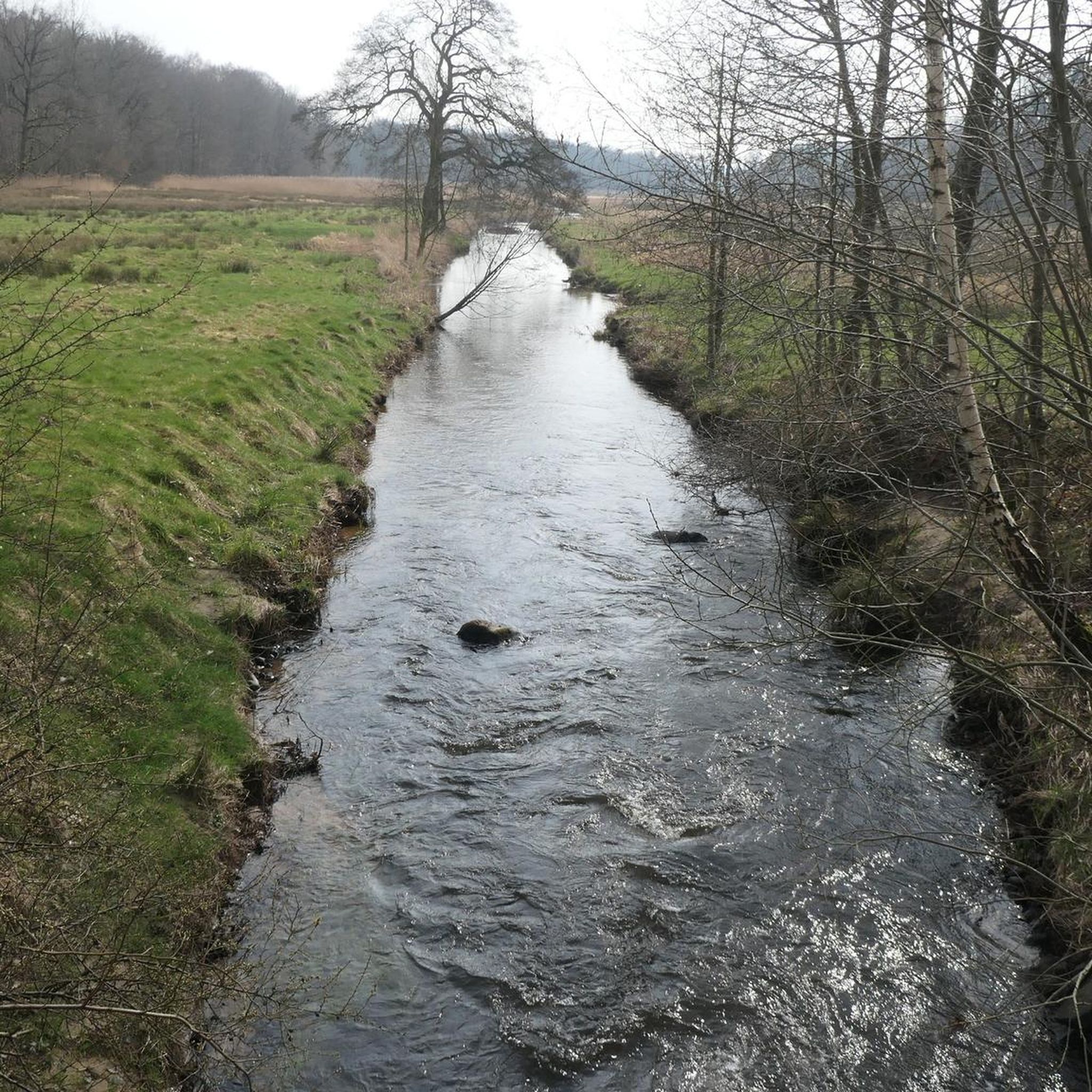
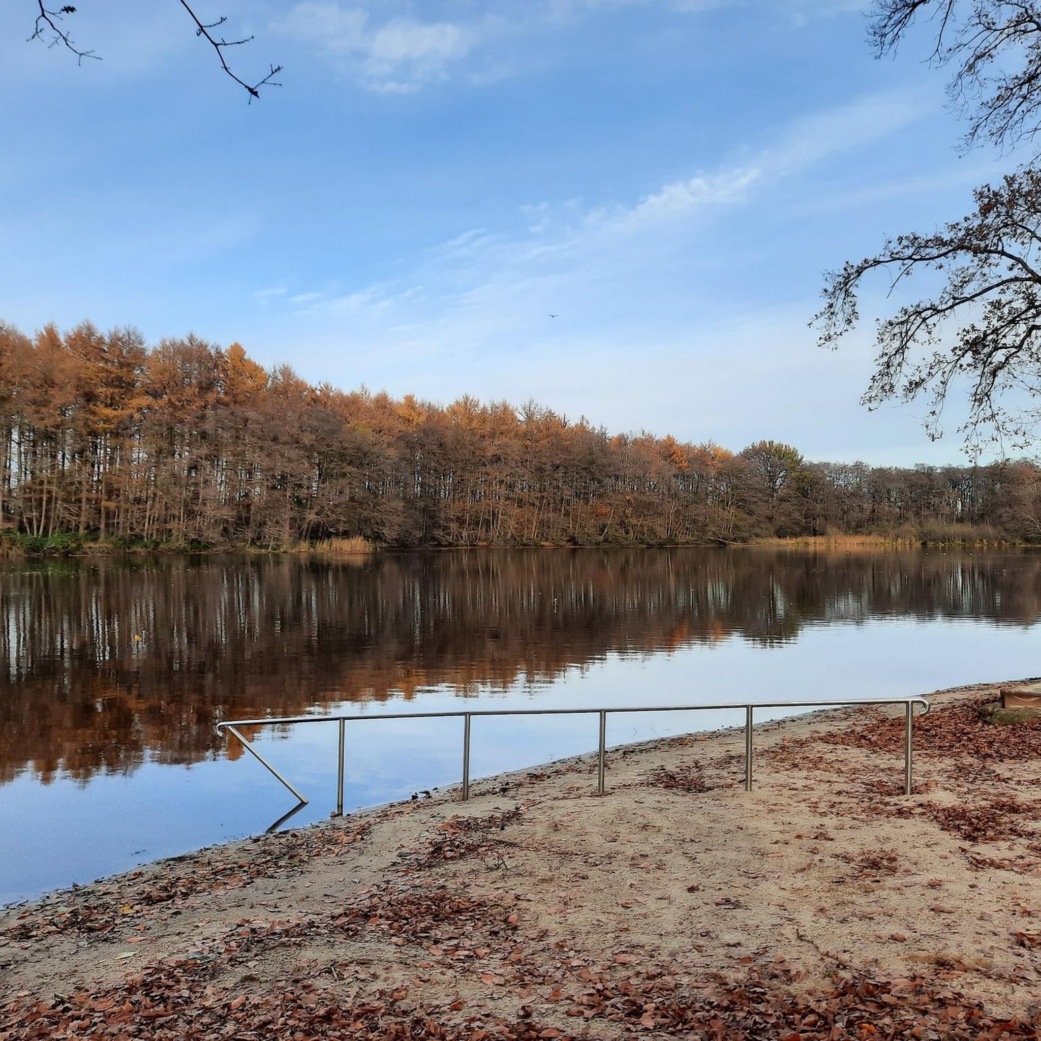
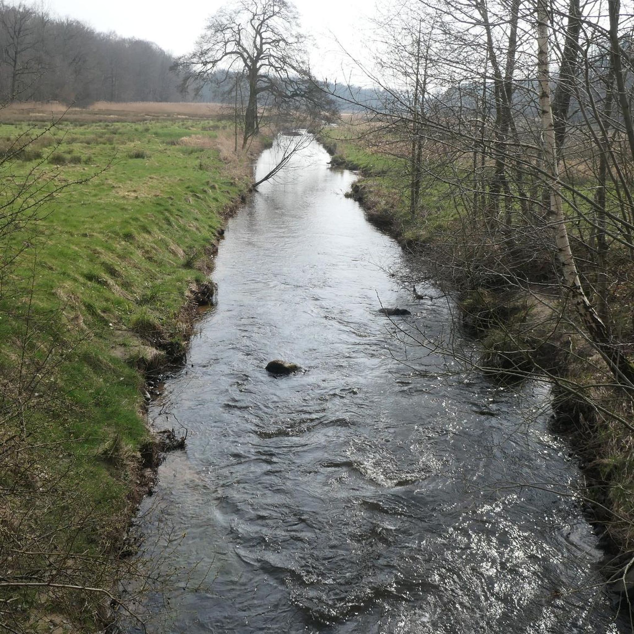
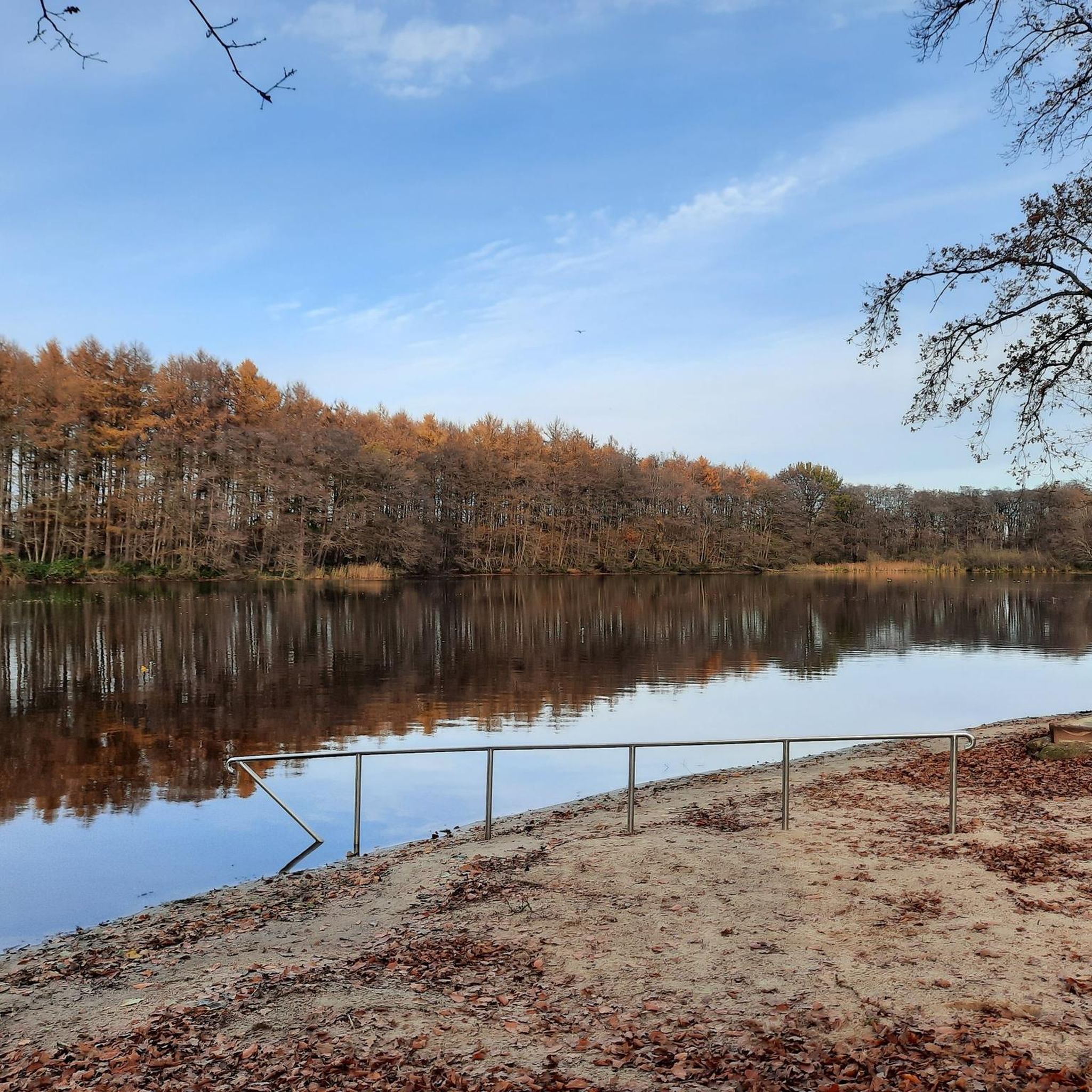
A short hike through the mixed forest, especially on hot and sunny days. It's ideal for accompanying a dog, as there are play and swimming opportunities both at the Rantzau stream and at the small forest lake.
1
0

house with interesting garden decoration
0
0

From here you can start well
0
0

Rest areas are always important, especially when traveling in groups.
0
0
Frequently Asked Questions
How many hiking trails are available around Schlotfeld?
Schlotfeld offers a wide variety of hiking experiences, with over 770 routes available. This includes more than 530 easy trails, 220 moderate options, and a few more challenging routes for experienced hikers.
What kind of landscapes can I expect to see while hiking in Schlotfeld?
Hiking in Schlotfeld takes you through a blend of cultural landscapes and natural features. You'll explore the rural setting of the Heide-Itzehoer Geest, traverse the idyllic Rantzau River Valley, and experience areas on the edge of the Naturpark Aukrug. Trails often feature low elevation changes, passing through agricultural lands, railway embankments, and along waters like the Schlotfelder Graben.
Are there family-friendly hiking options in Schlotfeld?
Yes, Schlotfeld is well-suited for family outings. Many trails, like the local "Schlotfeld's Green Route," are designed to be easy and suitable for all ages. This route, for example, offers a gentle circular path with low elevation changes, making it perfect for a leisurely family walk.
Can I bring my dog on hikes in Schlotfeld?
Many trails in the Schlotfeld area are dog-friendly, allowing you to enjoy the outdoors with your canine companion. "Schlotfeld's Green Route" is specifically noted as being dog-friendly, offering a pleasant experience for both you and your pet.
Are there circular hiking routes available?
Yes, many of the hiking routes around Schlotfeld are circular, providing convenient starting and ending points. Examples include the Lake Panorama loop from Winseldorf and the Rantzau Valley Nature Reserve (FFH Area Rantzau Valley) – Lohmühlenteich loop from Schlotfeld, which allow you to explore diverse scenery without retracing your steps.
What natural attractions or landmarks can I find along the trails?
The region offers several natural attractions. You can visit the Nordoe Inland Dunes Nature Reserve, or explore various ponds such as Deckmann's Ponds, Lohmühlenteich, and Stormsteich Pond. Many trails also feature rest areas, like the rest area with information board at the Rantzau, offering scenic spots to pause.
Are there any huts or shelters along the hiking paths?
Yes, you can find several huts and shelters in the vicinity of Schlotfeld. Notable spots include the Sargsburg Rest Area Ossenweg, the Wildlife Observation Hut 2 (Rethwisch Wetland), and the Shelter Stop Schlotfeld–Hungriger Wolf. There's also a Pilgrims' shelter at the source of the Rantzau, which is part of the Ochsenweg and Jakobsweg.
What do other hikers enjoy most about hiking in Schlotfeld?
The hiking trails around Schlotfeld are highly rated by the komoot community, with an average score of 4.6 stars from over 2,400 reviews. Hikers often praise the diverse scenery, the well-maintained paths, and the peaceful atmosphere of the Rantzau river valley and surrounding natural areas.
What is the typical elevation change on hikes in this region?
Hikes in Schlotfeld generally feature low elevation changes, making them accessible for a wide range of fitness levels. For instance, the "Schlotfeld's Green Route" has a highest point of 17 meters and a lowest point of 6 meters. Even longer routes like the View of the Rantzau Stream – Lohmühlenteich Hohenlockstedt loop from Hohenlockstedt, which is 12.5 km long, only have about 50 meters of ascent.
Are there designated hiking and cycling paths in Schlotfeld?
Yes, in cooperation with the Naturpark Aukrug and Amt Itzehoe-Land, Schlotfeld has established four designated hiking trails and several cycling paths. These routes are described and clearly marked, ensuring an enjoyable and structured outdoor experience.
What is the best time of year to go hiking in Schlotfeld?
Schlotfeld offers pleasant hiking opportunities throughout much of the year. The low elevation and varied landscapes make it enjoyable in spring and summer when the flora is lush, and in autumn for colorful foliage. Even in milder winter conditions, the trails can be explored, though checking local weather is always advisable.
Most popular routes around Schlotfeld
Most popular attractions around Schlotfeld

Get inspired with the komoot mobile app


Explore more
Browse the best Hikes in other regions.
