The best walks and hikes around Colceresa
4.4
(362)
1,922
hikers
14
hikes
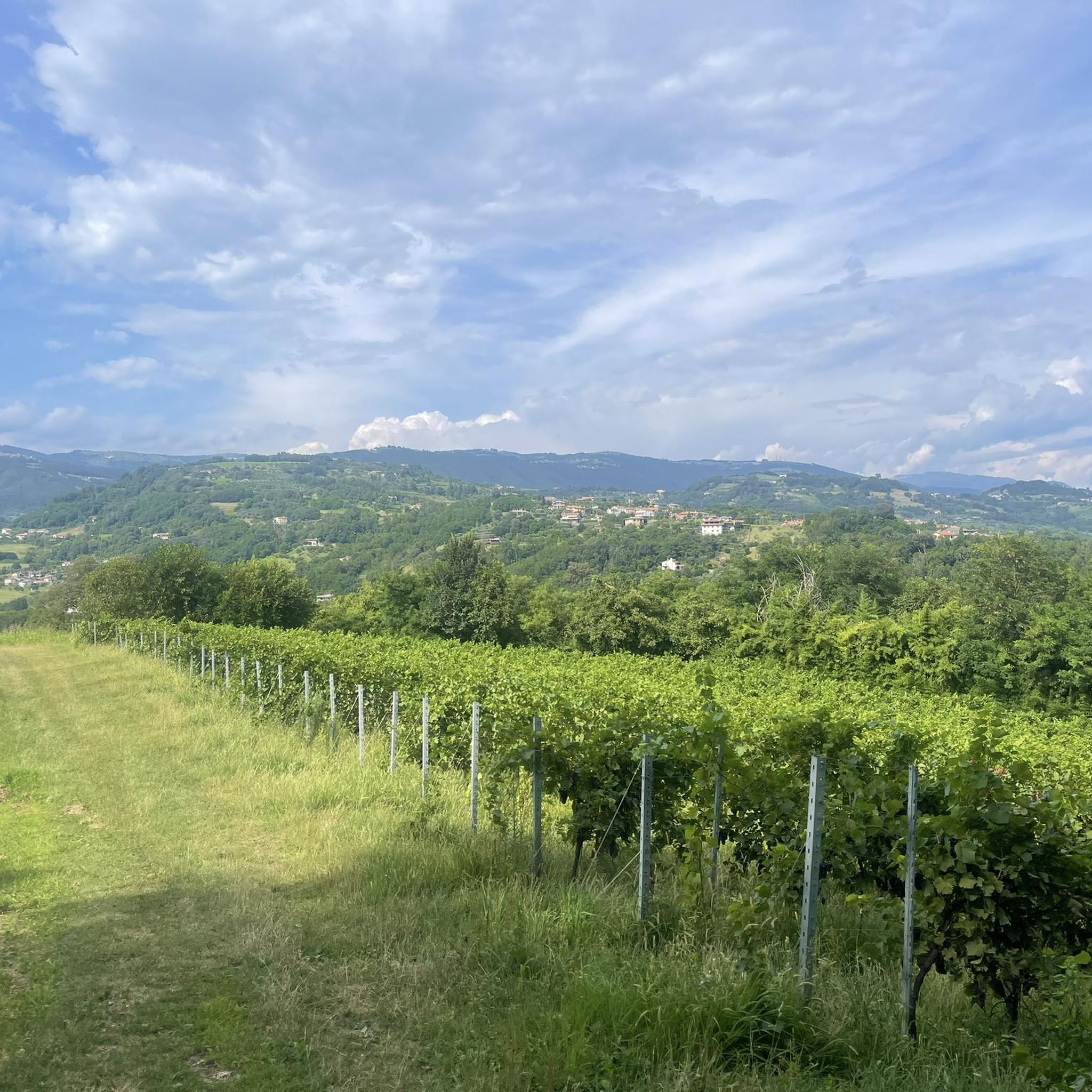
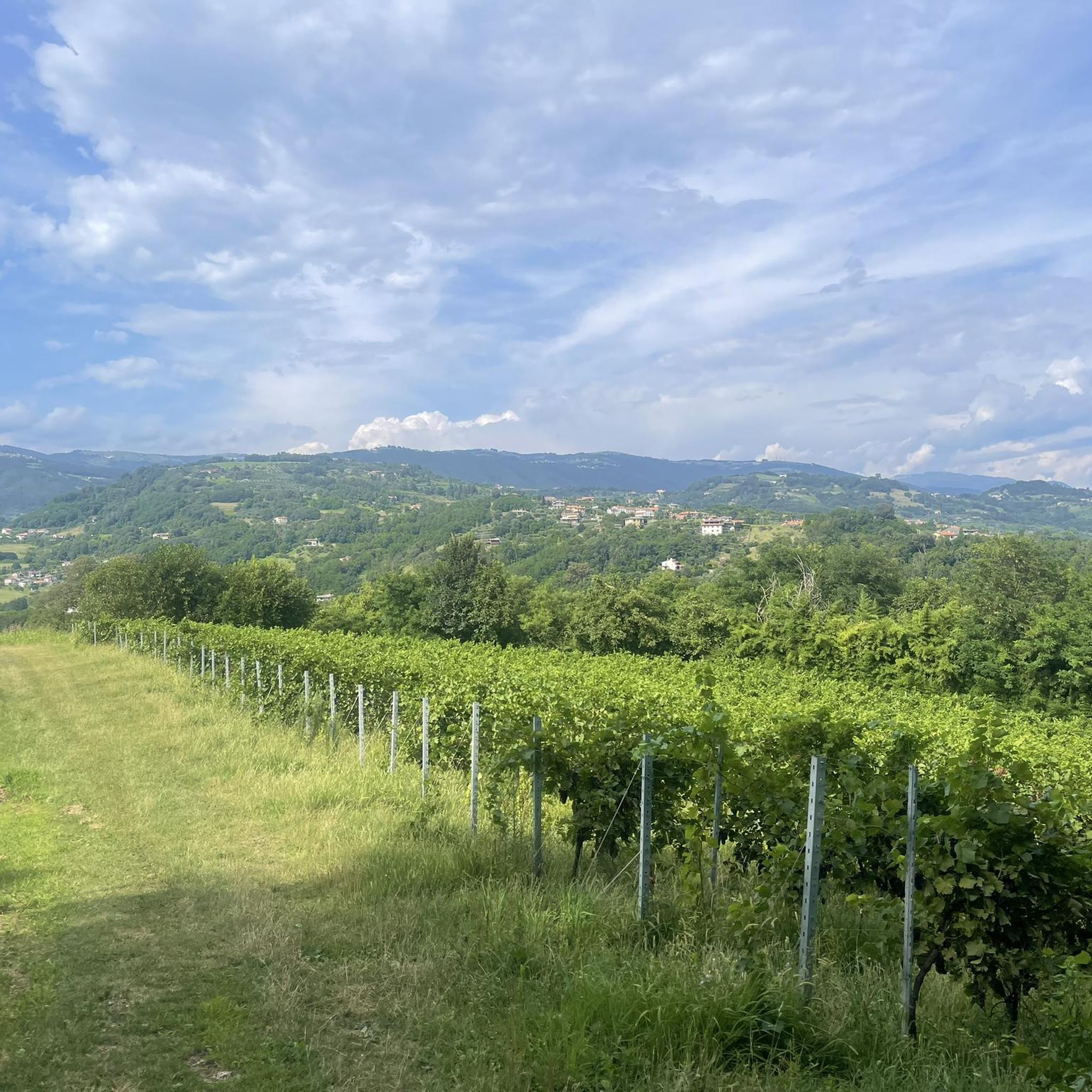
Hiking around Colceresa offers diverse landscapes across the Vicentine Foothills, characterized by a mix of hilly terrain and valleys. The region features extensive cherry orchards, vineyards, and olive groves, alongside acacia, robinia, and chestnut woods. Waterways like the Laverda stream valley shape the area, with streams fed by abundant springs. The volcanic origin of the subsoil contributes to fertile land, creating picturesque agricultural scenery.
Best hiking trails around Colceresa
- The most popular hiking route is The Squirrel Trail – Squirrel Trail loop from Mason Vicentino, a 3.4 miles (5.4 km) trail that takes 1 hour 31 minutes to complete, winding through characteristic cherry orchards and vineyards.
- Another top favourite among local hikers is Hiking loop from Mason Vicentino, a moderate 5.2 miles (8.4 km) path that explores the local hills and woodlands.
- Local hikers also love the Castello Inferiore – Walk in the Hills of Marostica loop from Mason Vicentino, a 6.9 miles (11.1 km) trail leading through the hills of Marostica, often completed in about 2 hours 54 minutes.
- Hiking around Colceresa is defined by rolling hills, agricultural landscapes with vineyards and cherry trees, and panoramic views over the plains. The network offers options for different ability levels, from easy strolls to more demanding excursions.
- The routes in Colceresa are highly rated by the komoot community with an average score of 4.5 stars from over 340 reviews. More than 1800 hikers have used komoot to explore Colceresa's varied terrain.
Last updated: September 28, 2026
4.6
(30)
117
hikers
5.44km
01:31
100m
100m
Easy hike. Great for any fitness level. Easily-accessible paths. Suitable for all skill levels.
5.0
(10)
36
hikers
8.38km
02:24
200m
200m
Moderate hike. Good fitness required. Easily-accessible paths. Suitable for all skill levels.

15
hikers
4.38km
01:09
40m
40m
Easy hike. Great for any fitness level. Easily-accessible paths. Suitable for all skill levels.
5.0
(1)
12
hikers
11.4km
02:59
80m
80m
Moderate hike. Good fitness required. Easily-accessible paths. Suitable for all skill levels.
5
hikers
20.0km
05:51
550m
550m
Hard hike. Very good fitness required. Easily-accessible paths. Suitable for all skill levels.
Get access to more routes and recommendations from other explorers.
Already have an account?
Our route recommendations are based on thousands of hikes, rides, and runs completed by other people on komoot.
Start today with a free account
Your next adventure awaits.

Tips from the Community

Piazza degli scacchi very beautiful
0
0


Now just go straight ahead
0
0

Contemporary ceramics - unique pieces
0
0
Frequently Asked Questions
What kind of terrain can I expect on hikes in Colceresa?
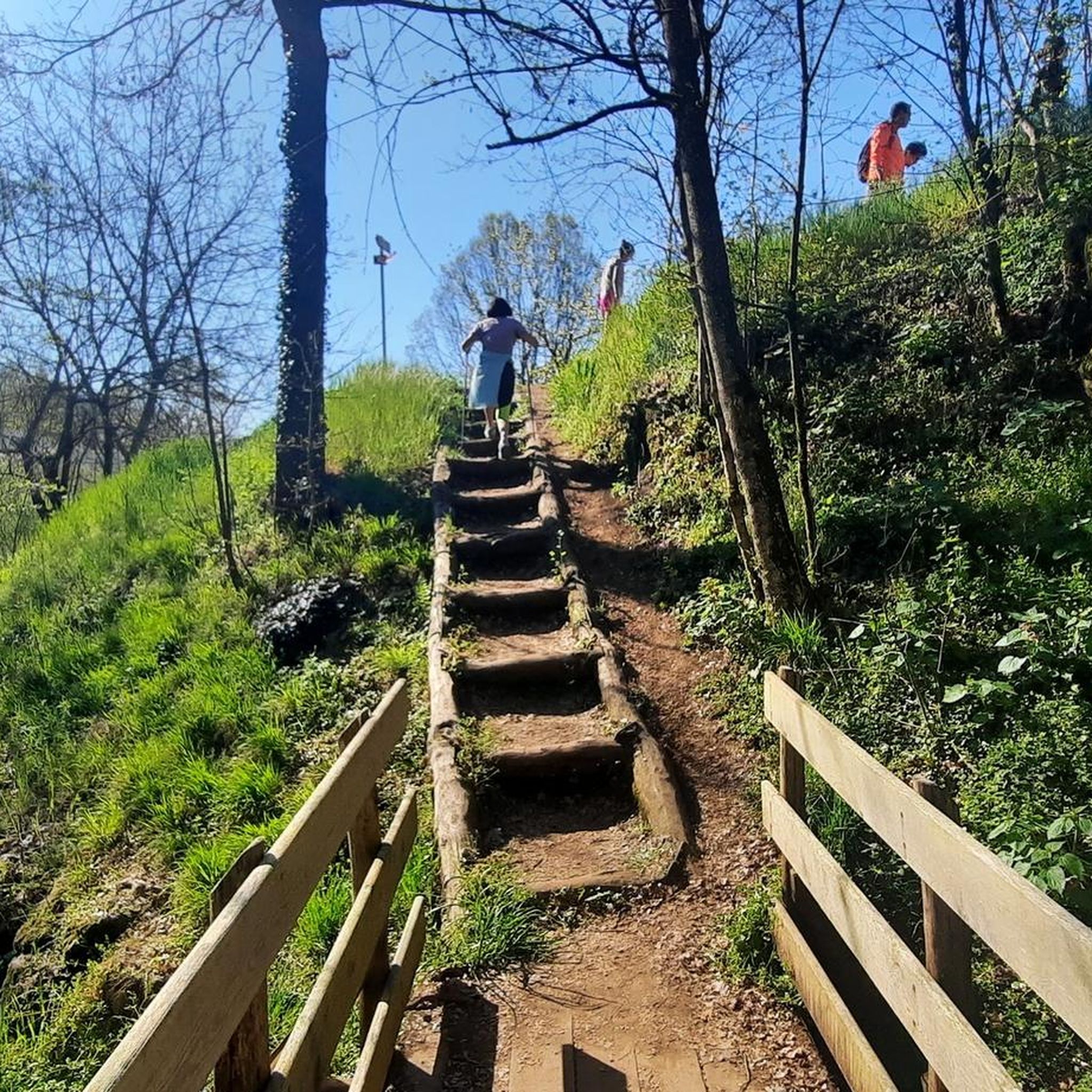
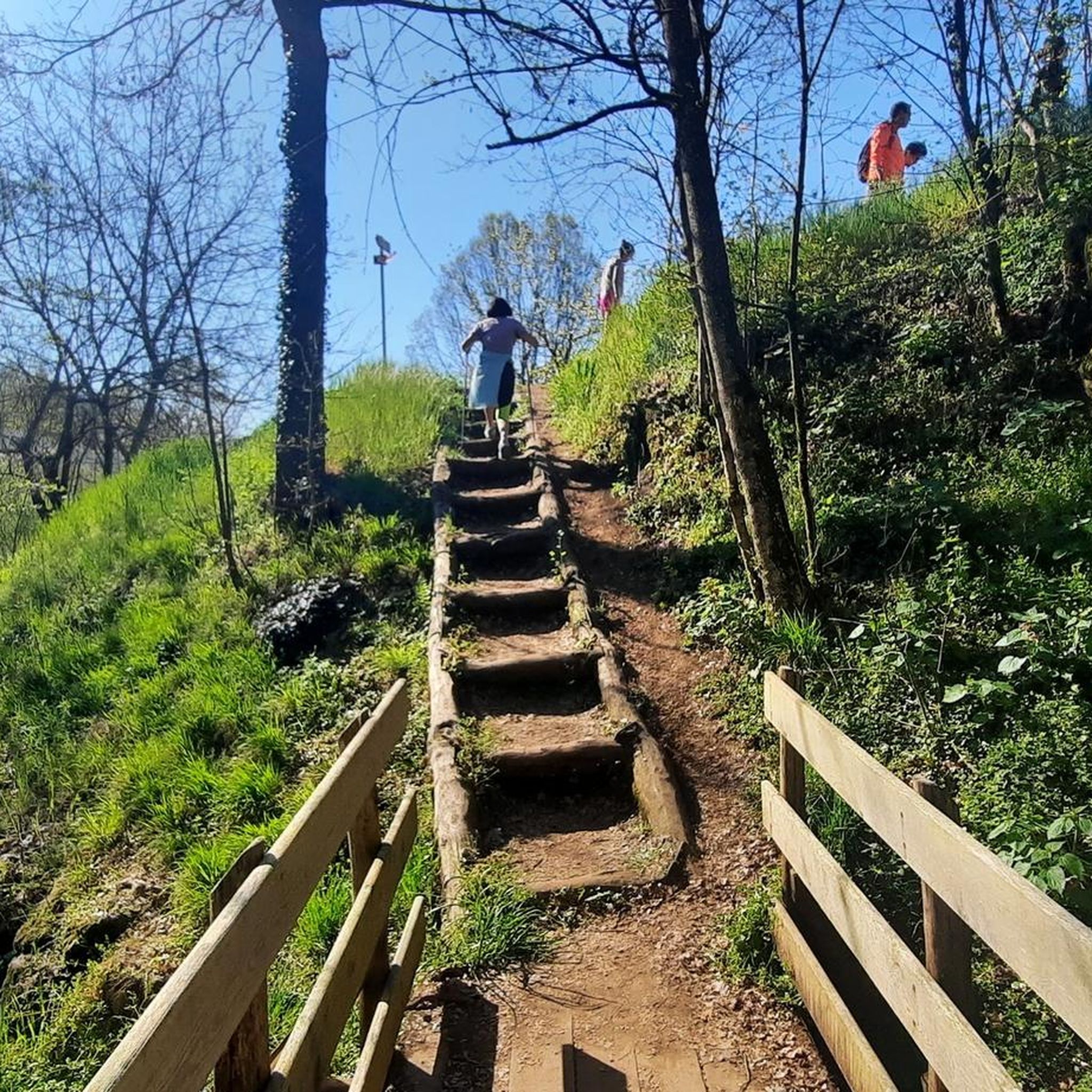
Colceresa offers a diverse landscape, characterized by the slopes of the Vicentine Foothills. You'll find a mix of hilly and valley routes, traversing through cherry orchards, extensive vineyards, olive groves, and acacia, robinia, and chestnut woods. Many trails follow ancient paths and mule tracks, often leading to ridges with panoramic views over the plains.
Are there hiking trails suitable for beginners or those looking for an easy walk?
Yes, Colceresa caters to all levels. There are 4 easy routes available. For a gentle introduction to the area's characteristic cultivations, consider The Squirrel Trail loop from Mason Vicentino, which is 4.2 km long and takes about 1 hour 6 minutes to complete.
Can I find more challenging hikes in Colceresa?
Absolutely. While many trails are moderate, there is 1 difficult route for experienced hikers. For a more demanding excursion, try the Valderio Stream – The Squirrel Trail loop from Mason Vicentino. This route is nearly 20 km long with significant elevation changes, requiring good fitness.
Are there any circular hiking routes in Colceresa?
Yes, Colceresa is known for its well-developed network of circular routes, often named after local animals like the Hedgehog, Squirrel, Hare, and Roe Deer. These loops vary in length and difficulty, providing diverse options for exploring the region's landscapes.
What natural features or landmarks can I see along the trails?
The region is rich in natural and historical features. You can encounter waterways like the Laverda stream valley, and streams fed by abundant springs. Notable natural attractions include the Silan Waterfalls and the Bacchiglione Springs Nature Reserve. Additionally, you might discover historical elements such as old mills, votive shrines, and even WWI military tunnels like the Military Gallery (Còvolo) WWI.
What is the best time of year to go hiking in Colceresa?
Colceresa is an appealing destination for hiking throughout the year. However, spring is particularly recommended for appreciating the cherry blossoms and lush vineyards, while clear winter days offer unique charm and crisp views.
Are the hiking trails in Colceresa well-marked?
Yes, the routes in Colceresa are equipped with recent and clear signage, making navigation straightforward for visitors. This ensures a pleasant and stress-free hiking experience.
What do other hikers say about the trails in Colceresa?
The hiking routes in Colceresa are highly regarded by the komoot community, holding an average rating of 4.5 stars from over 340 reviews. Hikers often praise the varied terrain, the picturesque agricultural landscapes, and the well-maintained paths that offer stunning panoramic views.
Are there any family-friendly hiking options in Colceresa?
Yes, with trails ranging from 3 km to 18 km and varying difficulty levels, you can find routes suitable for families. The easier, shorter loops that wind through orchards and vineyards are ideal for walks with children, offering engaging scenery without being too strenuous.
Is Colceresa a dog-friendly hiking destination?
While specific regulations for dogs on trails can vary, the natural and agricultural landscapes of Colceresa generally welcome dogs. It's always advisable to keep your dog on a leash, especially when passing through cultivated areas or near wildlife, and to carry water for them.
How many hiking routes are available in Colceresa?
There are 14 hiking routes documented in Colceresa, offering a wide range of experiences from easy strolls to more challenging excursions. This includes 4 easy, 9 moderate, and 1 difficult trail.
Most popular routes around Colceresa
Most popular attractions around Colceresa

Get inspired with the komoot mobile app


Explore more
Browse the best Hikes in other regions.
