The best mountain hikes around Velo D'Astico
5.0
(13)
126
hikers
6
hikes
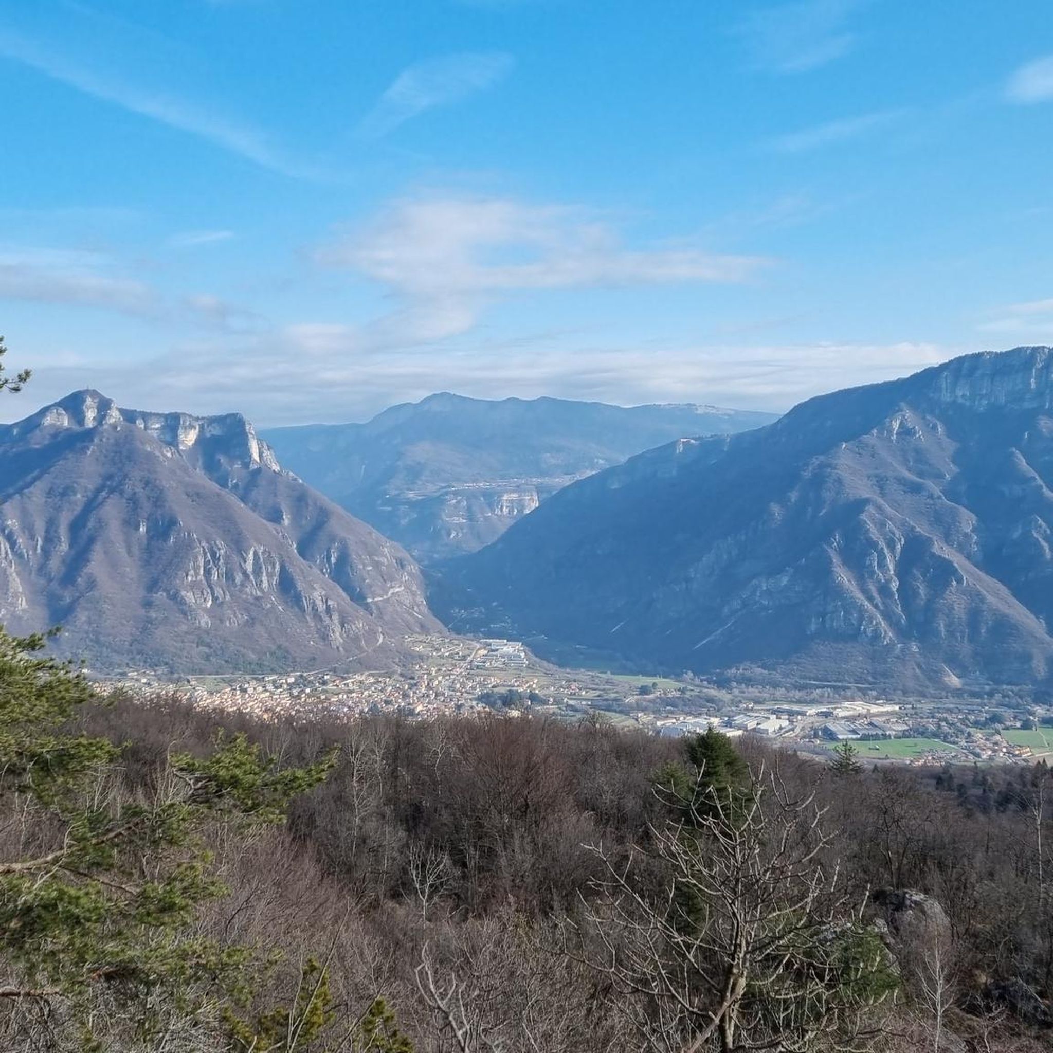
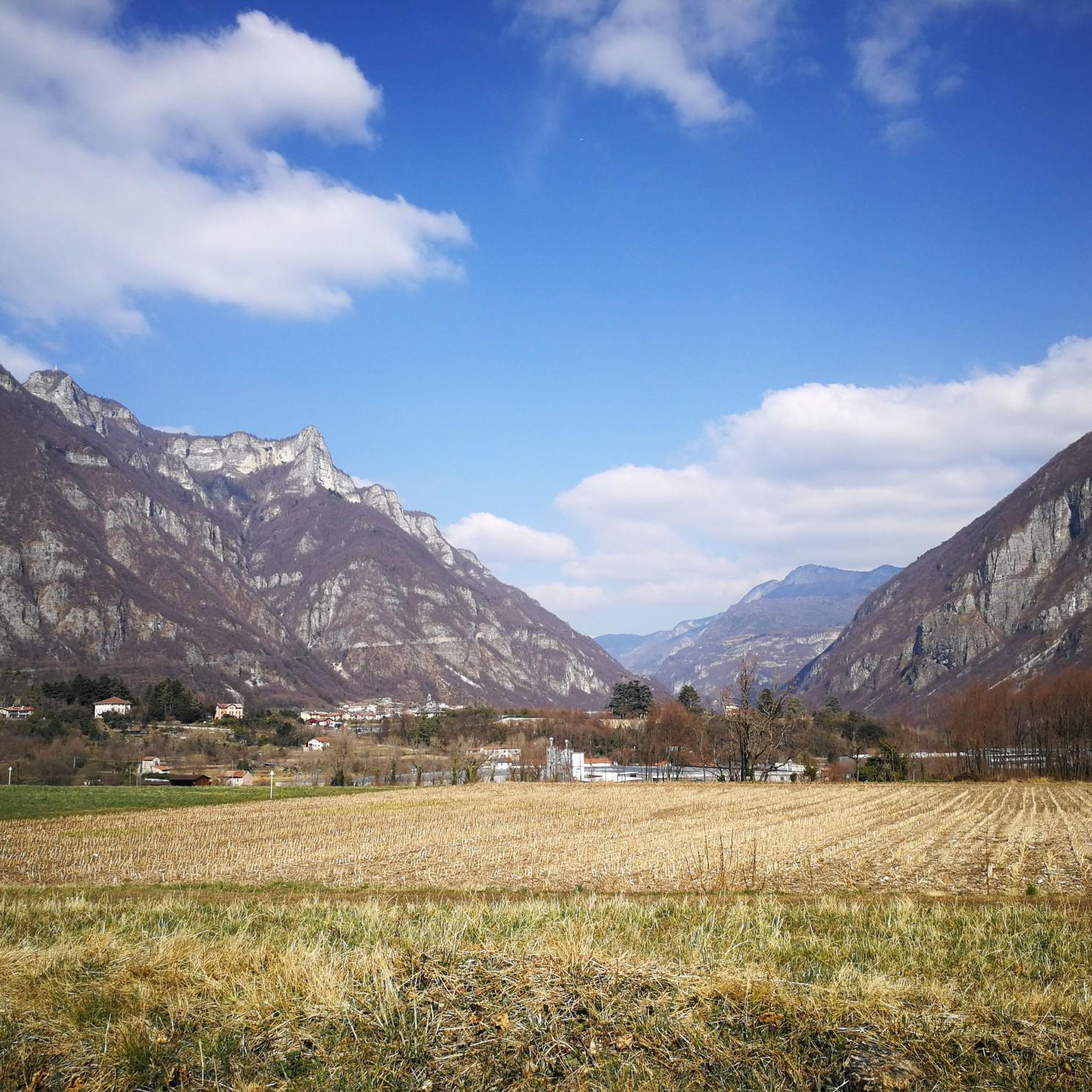
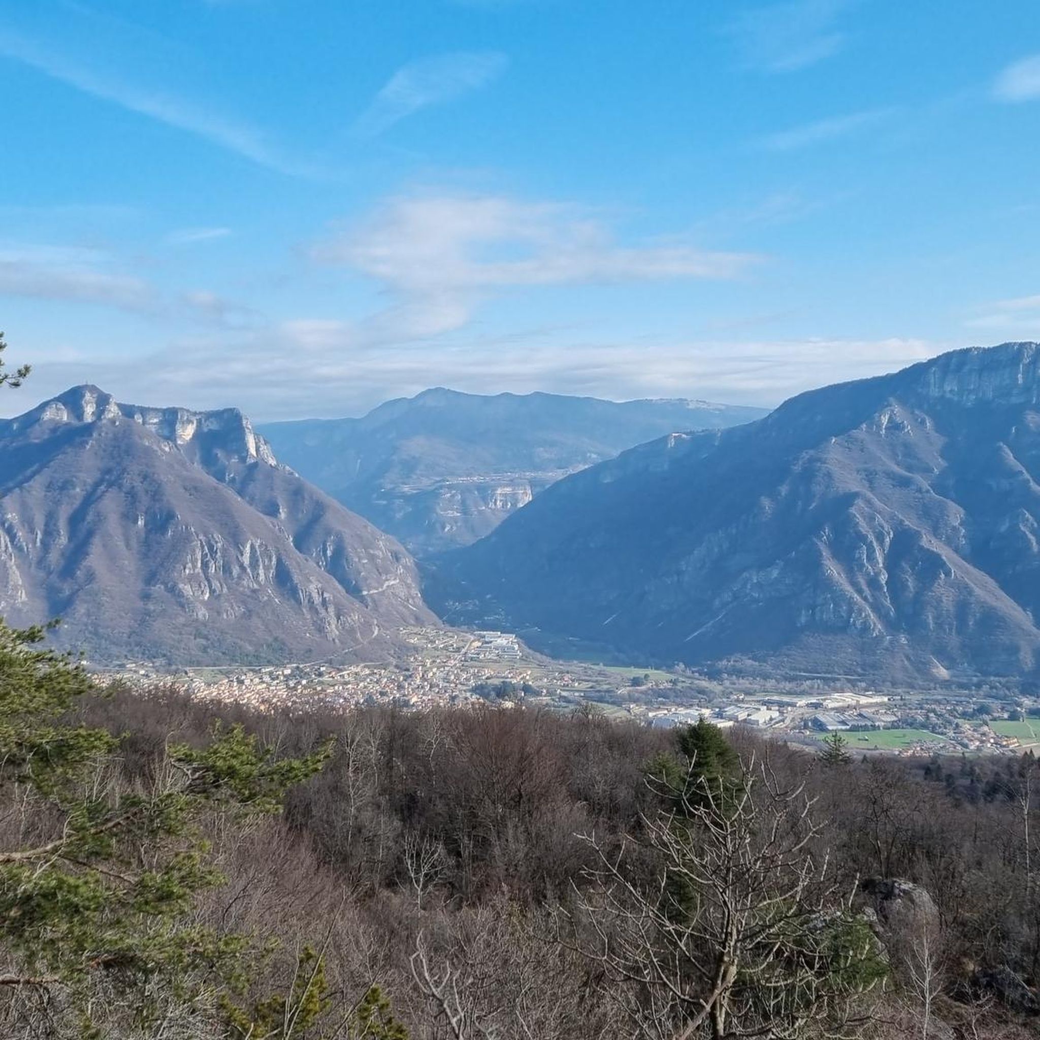
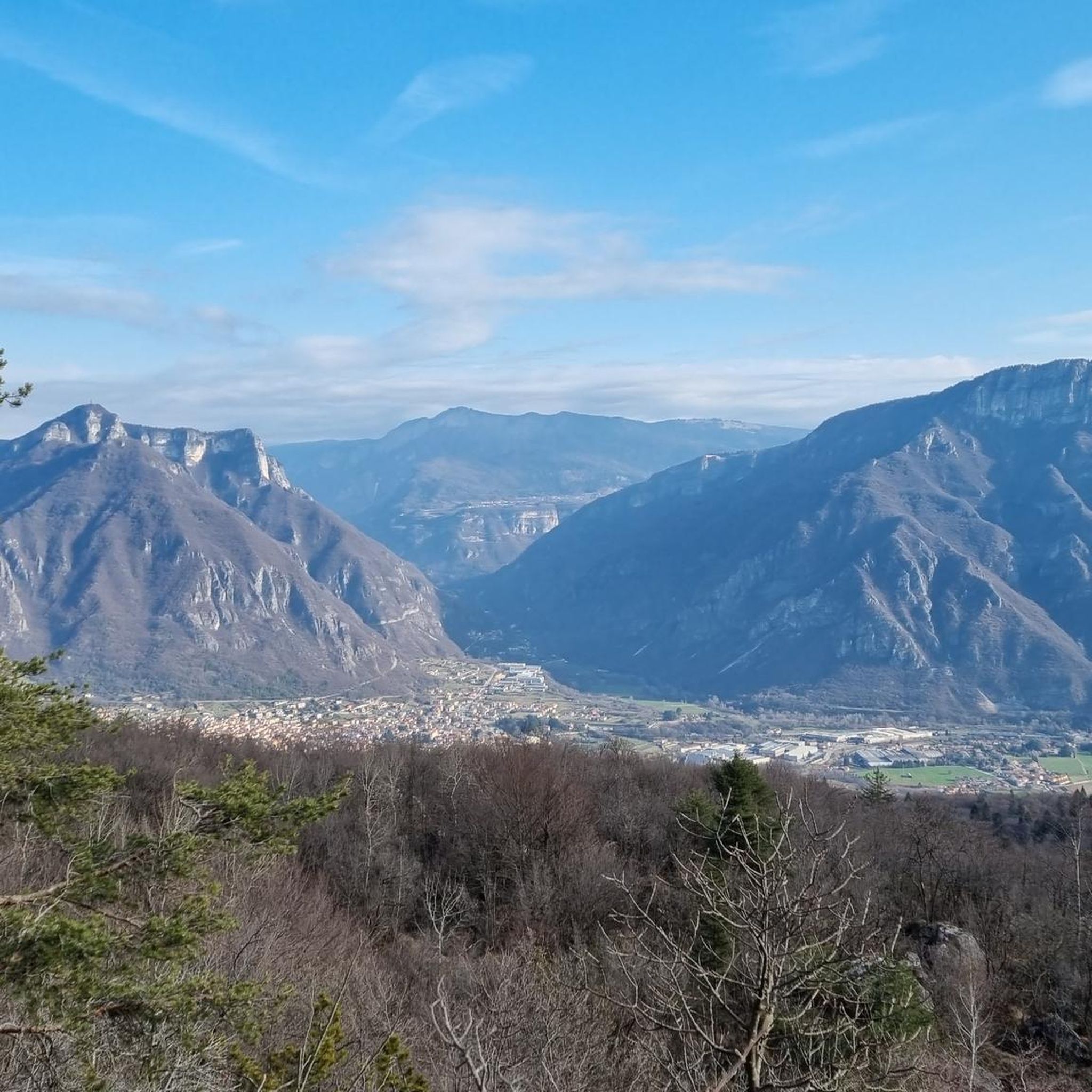
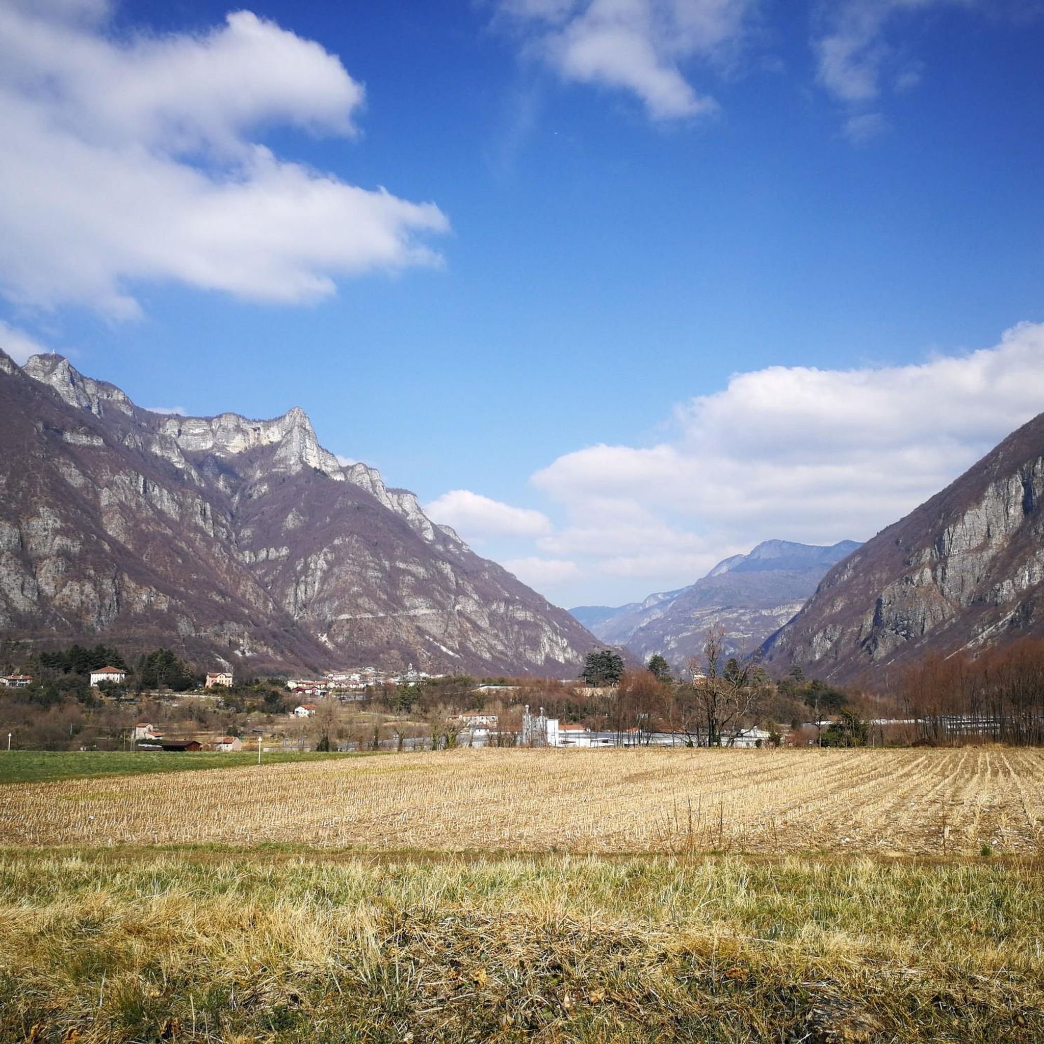
Mountaineering routes around Velo D'Astico are set within the Vicentine Pre-Alps, characterized by a rugged and dramatic natural landscape. The region features prominent peaks such as Monte Novegno and Monte Cengio, offering challenging environments for mountaineers. The Astico River has carved a significant gorge, contributing to diverse natural monuments including canyons and waterfalls. This area provides a rich environment for outdoor exploration, with terrain ranging from forested slopes to rocky ascents.
Best mountaineering routes around Velo D'Astico
- The most popular…
Last updated: October 9, 2026
5.0
(3)
26
hikers
7.68km
03:58
640m
650m
Moderate mountaineering route. Good fitness required. Mostly accessible paths. Sure-footedness required.
5.0
(3)
17
hikers
6.20km
05:08
650m
650m
Hard mountaineering route. Very good fitness required. Sure-footedness, sturdy shoes and alpine experience required.

13
hikers
Hard mountaineering route. Good fitness required. Sure-footedness, sturdy shoes and alpine experience required.
5.0
(4)
11
hikers
2.91km
01:40
280m
280m
Hard mountaineering route. Great for any fitness level. Sure-footedness, sturdy shoes and alpine experience required.
7
hikers
14.1km
05:11
770m
770m
Hard mountaineering route. Very good fitness required. Mostly accessible paths. Sure-footedness required.
Our route recommendations are based on thousands of hikes, rides, and runs completed by other people on komoot.
Start today with a free account
Your next adventure awaits.

Tips from the Community

Also reachable by bike! Offers a nice view of Busa Novegno.
1
0

A long but very scenic route. The via ferrata was recently renovated, but there are exposed, unprotected sections where extreme caution is required.
0
0

Road of the 52 Tunnels of Pasubio
1
0

Starting point for the route that leads to the Achille Papa Refuge through the 52 Tunnels, equipped with numerous parking areas
0
0

Starting point for the 52 Tunnels trail
2
0

Probably the most impressive tunnel. Simply crazy!
7
0
A great starting point for a breathtaking hike. The Strada delle 52 Gallerie, also known as the Strada della 1ª Armata or Strada della Prima Armata, is one of the most famous and most visited Italian military roads of the First World War. It was built to supply the Italian positions on the Pasubio.
6
0

Frequently Asked Questions
What kind of mountaineering routes can I expect in Velo D'Astico?
Velo D'Astico, situated in the Vicentine Pre-Alps, offers a diverse range of mountaineering routes. You'll find terrain varying from forested slopes to rugged, rocky ascents, with prominent peaks like Monte Novegno and Monte Cengio. The area is known for its challenging environments, with routes catering to both moderate and difficult skill levels.
Are there any circular mountaineering routes in Velo D'Astico?
Yes, Velo D'Astico features several excellent circular mountaineering routes. For a challenging experience, consider the Achille Papa Hut – Strada Scarubbi loop from Sasso delle Poe, which is about 12.9 km long. Another option is the Passo Val Fontana d'Oro loop from Sasso delle Poe, offering extensive views over 8.6 km. For a moderate circular route, the Mountaineering loop from Passo Xomo covers 7.4 km.
What are the difficulty levels of mountaineering routes in Velo D'Astico?
The mountaineering routes in Velo D'Astico primarily range from moderate to difficult. Out of the 10 routes available, 3 are classified as moderate, and 7 are considered difficult, requiring good fitness and often alpine experience. There are no easy routes listed for mountaineering in this area, indicating a focus on more challenging ascents.
What natural features or landmarks can I see along the mountaineering routes?
The region is rich in natural beauty and historical significance. You can explore the dramatic Astico River gorge, canyons, and various natural monuments. Along your routes, you might encounter historical sites related to World War I, such as those around Monte Cengio. Notable natural highlights include Lake Coe and the Main Lake of Posina, as well as impressive peaks like Monte Maggio Summit Cross and the Summit Cross of Monte Novegno.
How long do the mountaineering routes typically take to complete?
The duration of mountaineering routes in Velo D'Astico varies depending on their length and difficulty. For instance, the challenging Achille Papa Hut – Strada Scarubbi loop typically takes around 5 hours and 40 minutes. A shorter, moderate route like the Mountaineering loop from Passo Xomo can be completed in about 3 hours and 51 minutes. Longer, difficult routes such as the Passo Val Fontana d'Oro loop might take over 6 hours.
What do other mountaineers say about the routes in Velo D'Astico?
The mountaineering routes in Velo D'Astico are highly regarded by the komoot community, boasting an impressive average rating of 4.97 stars from over 30 reviews. Mountaineers often praise the rugged mountain ranges, the scenic river-carved gorges, and the unique blend of natural beauty with historical sites that make for a rewarding outdoor experience.
Are there any historical sites or points of interest along the mountaineering trails?
Yes, the region around Velo D'Astico is rich in history, particularly from World War I. Monte Cengio, for example, was heavily fortified during the war, featuring gun emplacements and tunnels. Routes like the Spiral Tunnel No. 20 loop from Sasso delle Poe offer a chance to experience these historical elements firsthand, adding a unique dimension to your mountaineering adventure.
What is the longest mountaineering route available in Velo D'Astico?
The longest mountaineering route featured in Velo D'Astico is the Achille Papa Hut – Strada Scarubbi loop from Sasso delle Poe. This difficult route spans approximately 12.9 kilometers (8.0 miles) and involves a significant elevation gain of over 870 meters, making it a substantial undertaking for experienced mountaineers.
Are there any routes that offer extensive views of the surrounding peaks and valleys?
Absolutely. Many routes in Velo D'Astico provide breathtaking panoramic views. The Passo Val Fontana d'Oro loop from Sasso delle Poe is particularly noted for its extensive vistas of the surrounding peaks and valleys, making it a popular choice for those seeking scenic rewards for their efforts.
How many mountaineering routes are available in Velo D'Astico?
There are 10 distinct mountaineering routes available in Velo D'Astico, offering a variety of experiences for outdoor enthusiasts. These routes are predominantly moderate to difficult, providing ample opportunities for challenging ascents and exploration within the Vicentine Pre-Alps.
What is the elevation gain like on the mountaineering routes?
The mountaineering routes in Velo D'Astico involve significant elevation gains, reflecting their challenging nature. For example, the Achille Papa Hut – Strada Scarubbi loop features an elevation gain of over 870 meters. Even shorter routes like the Mountaineering loop from Passo Xomo still involve over 630 meters of ascent, requiring good physical condition.
Are there any routes that pass by lakes or water features?
While the Astico River has carved a significant gorge through the landscape, contributing to the area's scenic beauty, some routes might offer views of or access to nearby water features. For direct access to lakes, you might consider exploring areas near Lake Coe or the Main Lake of Posina, which are prominent highlights in the broader Velo D'Astico region.
Most popular routes around Velo D'Astico
Most popular attractions around Velo D'Astico

Get inspired with the komoot mobile app


Explore more
Browse the best Mountain Hikes & Routes in other regions.
