The best road cycling routes around Lastebasse
4.4
(313)
8,625
riders
24
rides
Road cycling routes around Lastebasse traverse a mountainous region characterized by significant elevation gains and varied terrain. The area features panoramic views of valleys and the broader mountainous scenery, with the Astico River originating here and winding through the landscape. Cyclists encounter historical roads and woods, alongside unique geological formations known as "Laste." These natural features contribute to a diverse cycling experience.
Best road cycling routes around Lastebasse
- The most popular road cycling route is Altopiano di Vezzena – Vezzena…
Last updated: June 26, 2026
5.0
(3)
46
riders
60.2km
03:48
1,700m
1,700m
Hard road ride. Very good fitness required. Some segments of this route may be unpaved and difficult to ride.
5.0
(1)
25
riders
25.0km
01:39
790m
790m
Moderate road ride. Good fitness required. Mostly well-paved surfaces and easy to ride.

Sign up for free
18
riders
22.4km
01:14
480m
480m
Moderate road ride. Good fitness required. Mostly well-paved surfaces and easy to ride.
13
riders
31.1km
01:52
720m
720m
Moderate road ride. Good fitness required. Mostly well-paved surfaces and easy to ride.
7
riders
7.51km
00:27
190m
190m
Easy road ride. Great for any fitness level. Mostly well-paved surfaces and easy to ride.
Get access to more routes and recommendations from other explorers.
Sign up for free
Already have an account?
Our route recommendations are based on thousands of hikes, rides, and runs completed by other people on komoot.
Start today with a free account
Your next adventure awaits.
Login or Signup


Tips from the Community

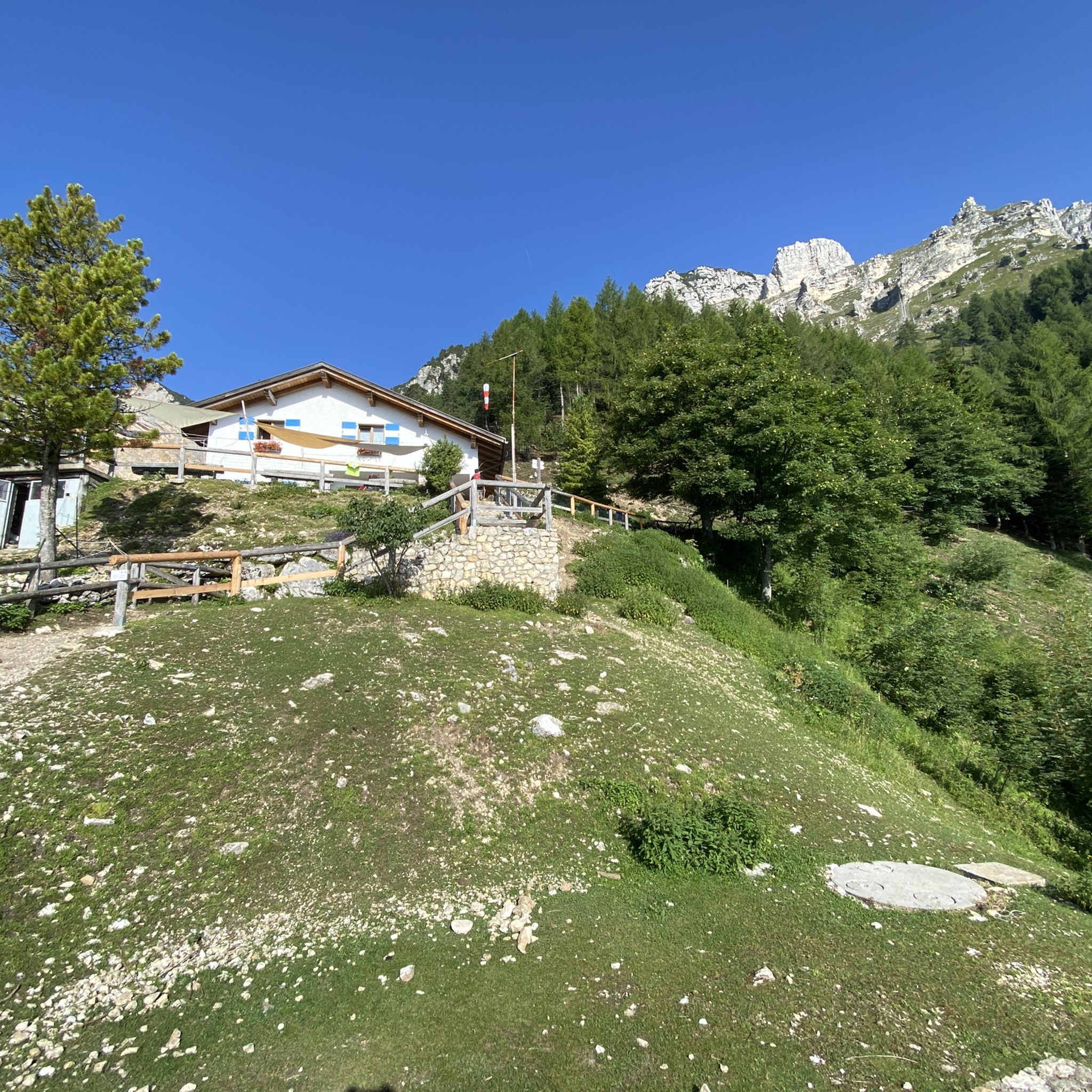
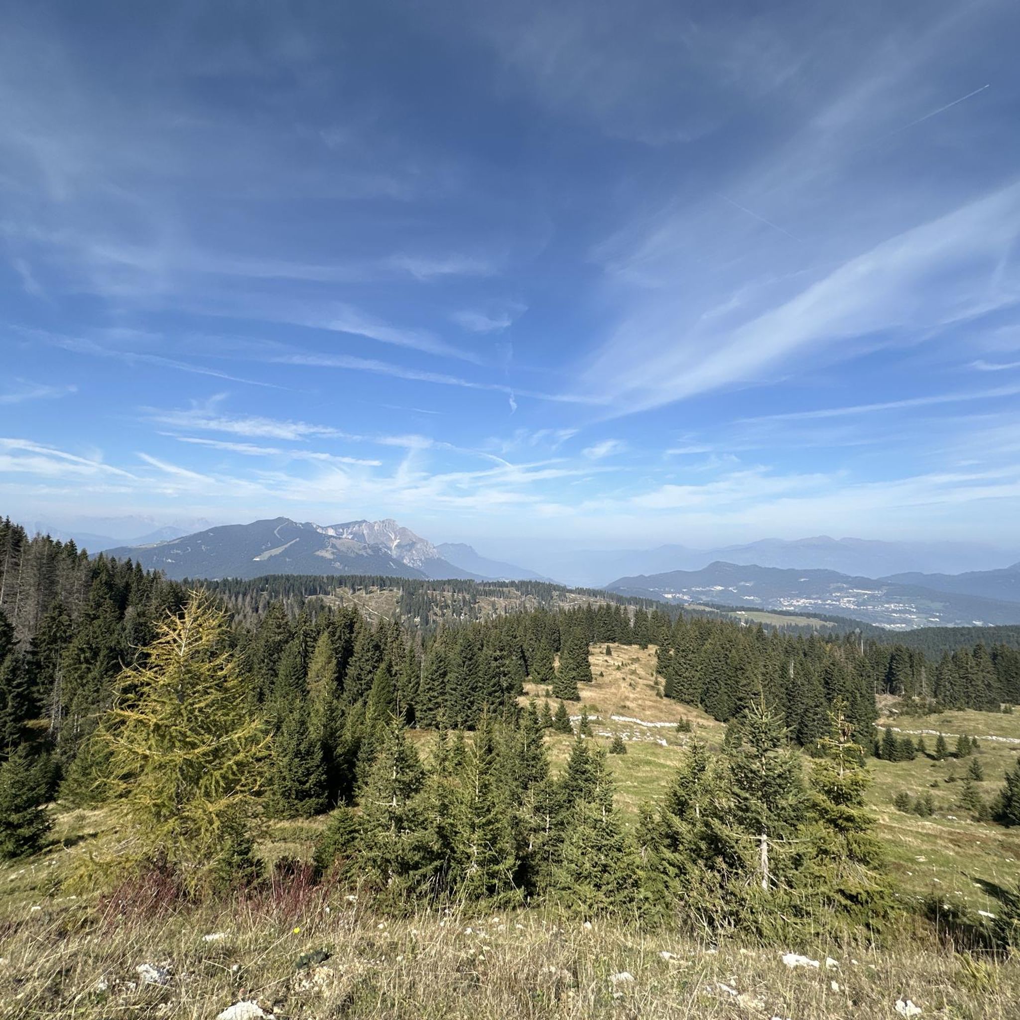
Great resting point for lunch or a snack. It is located at the start of the downhill ski lifts. Not far away is the panoramic hairpin bend from which you can have a spectacular view of the Brenta Dolomites and Carè Alto.
0
0
Good restaurant for a culinary stop. It has been converted from an old Great War barracks. Beautiful the underlying Busa della Seghetta
0
0
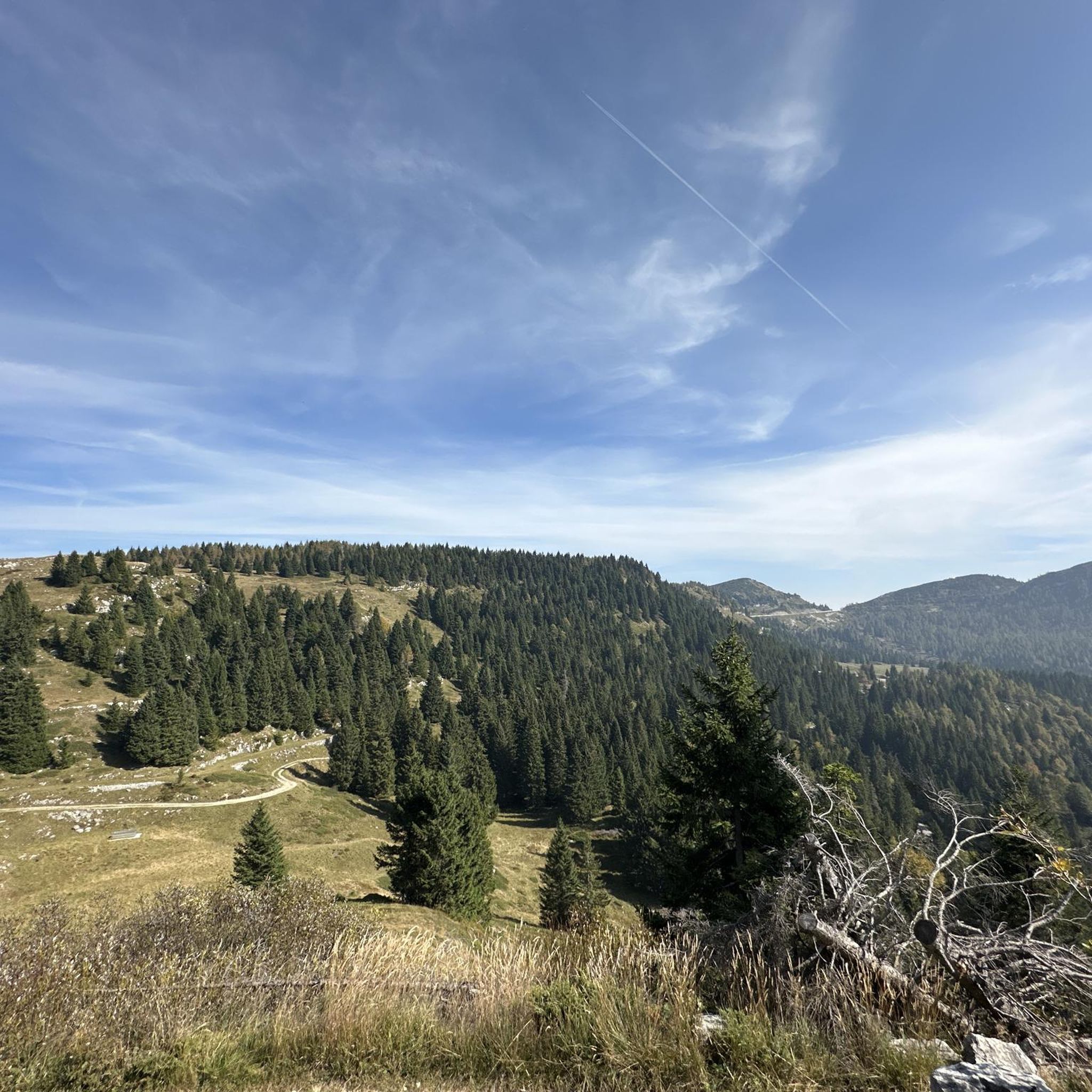
The transit pass between Trentino and Veneto
0
0

Beautiful ascent to Tonezza. Quiet road with great views. Over just under 9 kilometers, you climb about 600 meters, with an average gradient of 6.6%. In Tonezza, there are opportunities to refuel.
0
0
The pass to descend towards Asiago, climb to Luserna, start by bike and on foot and in winter with skis
0
0
The little church of Vezzena pass
0
0
The satisfying plateau where you forget the effort of the Kaiserjegerstrasse climb
0
0

The fountain of Masi di Sotto is a historical testament to the skill of Lavarone's stonemasons and is surrounded by typical Cimbrean "laste". This fountain represents the starting point of the characteristic paths bordered by laste that cross a landscape full of charm and unique in its kind.
0
0
Frequently Asked Questions
How many road cycling routes are available in the Lastebasse region?
Lastebasse offers a diverse network of over 25 road cycling routes, catering to various skill levels from easy to difficult. The komoot community has explored these routes over 9,000 times.
What are the typical difficulty levels for road cycling in Lastebasse?
The region features a range of routes, with 2 easy, 15 moderate, and 9 difficult options. This variety ensures that both beginners and experienced cyclists can find suitable challenges, often involving significant elevation gains due to the mountainous terrain.
Are there any family-friendly road cycling routes in Lastebasse?
Yes, Lastebasse includes easier routes suitable for families. For instance, the Toll – Fontana di Masi di Sotto loop from Gionghi is an easy 7.6 km route with moderate elevation, offering a pleasant ride through the landscape.
What kind of natural features can I expect to see while cycling in Lastebasse?
Cyclists will encounter diverse natural beauty, including panoramic views of valleys, lakes like Lake Lavarone, and the winding Astico River. The region is also known for its unique 'Laste' geological formations and beautiful woods. The Val Civetta waterfall, though not directly on a route, is a notable natural attraction in the area.
Are there any historical landmarks or points of interest along the road cycling routes?
Absolutely. Lastebasse is rich in history, featuring old military roads and fortresses. You can explore sites like Cima Vezzena Summit and Fort or the Forte Vezzena. The Passo del Menador – Vezzena Pass loop from Gionghi is a moderate route that incorporates some of these historical roads.
What do other road cyclists say about the routes in Lastebasse?
The road cycling routes in Lastebasse are highly regarded by the komoot community, holding an average rating of 4.6 stars from over 300 reviews. Cyclists often praise the challenging climbs, expansive views, and the region's varied landscapes.
Are there any long-distance or challenging road cycling routes for experienced riders?
Yes, experienced riders will find several challenging routes. The Rotzo – Arsiero loop from Tonezza del Cimone is a difficult 60.2 km path with significant elevation gain, offering a demanding ride through the region's varied terrain.
Can I find circular road cycling routes in Lastebasse?
Many of the routes in Lastebasse are designed as loops, allowing you to start and finish in the same location. An example is the Arsiero – Strada della Tonnezza loop from Tonezza del Cimone, a 30.9 km difficult trail that takes you through historical roads and wooded areas.
What is the best time of year for road cycling in Lastebasse?
Given its mountainous nature, the best time for road cycling in Lastebasse is typically from late spring through early autumn (May to October), when the weather is milder and mountain passes are clear of snow. Always check local weather conditions before heading out.
Are there opportunities to combine cycling with other activities or explore nearby areas?
Absolutely. The region's proximity to the Dolomites and attractions like Monte Maggio Summit Cross or the Ossuary Monument of Monte Cimone means you can easily combine cycling with hiking or exploring historical sites. The area's natural beauty also makes it ideal for photography and enjoying the outdoors.
What are the typical elevation gains on road cycling routes in Lastebasse?
Road cycling in Lastebasse is characterized by significant elevation gains due to the mountainous terrain. For example, the Altopiano di Vezzena – Vezzena Pass loop from Lusérn - Luserna, a difficult 57.8 km route, features nearly 1000 meters of ascent, providing a challenging workout for cyclists.
Most popular routes around Lastebasse
Most popular attractions around Lastebasse

Get inspired with the komoot mobile app


Explore more
Browse the best Road cycling routes in other regions.
