The best road cycling routes around Schliengen
4.5
(699)
9,822
riders
21
rides
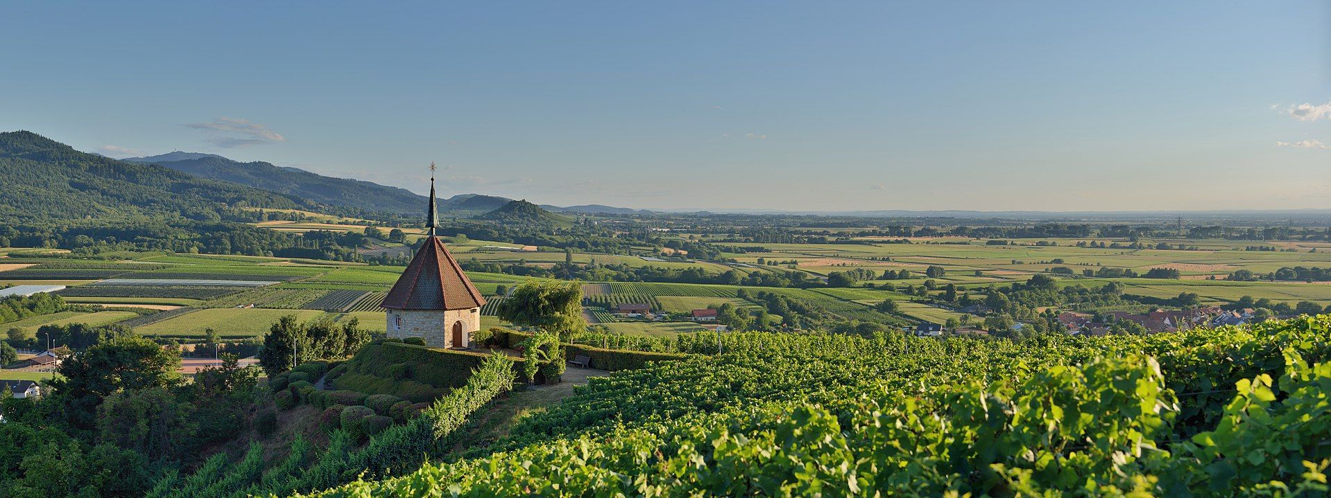
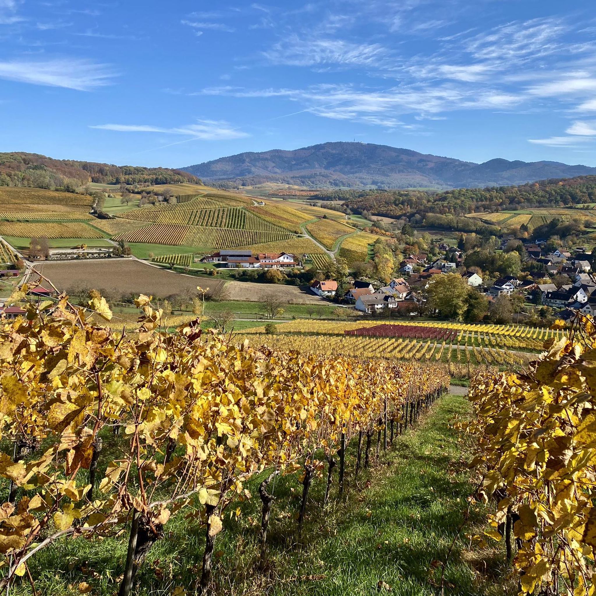
Road cycling routes around Schliengen are set within Germany's Markgräflerland region, characterized by its diverse landscapes. The area features picturesque vineyards offering rolling hills, the flat expanse of the Rhine Plain to the west, and the more challenging Black Forest foothills to the east. This varied terrain provides options for different cycling preferences, from gentle rides through viticulture areas to ascents with panoramic views.
Best road cycling routes around Schliengen
- The most popular road cycling route is Istein Village Center…
Last updated: September 27, 2026
4.7
(77)
330
riders
50.8km
02:14
350m
350m
Moderate road ride. Good fitness required. Mostly well-paved surfaces and easy to ride.
5.0
(1)
48
riders
42.3km
01:58
460m
460m
Moderate road ride. Good fitness required. Mostly well-paved surfaces and easy to ride.

4.5
(4)
55
riders
Moderate road ride. Great for any fitness level. Some segments of this route may be unpaved and difficult to ride.
3.7
(10)
48
riders
58.0km
02:15
130m
130m
Moderate road ride. Good fitness required. Mostly well-paved surfaces and easy to ride.
4.4
(24)
202
riders
51.4km
02:05
170m
170m
Moderate road ride. Good fitness required. Mostly well-paved surfaces and easy to ride.
Get access to more routes and recommendations from other explorers.
Already have an account?
Our route recommendations are based on thousands of hikes, rides, and runs completed by other people on komoot.
Start today with a free account
Your next adventure awaits.
Other adventures around Schliengen

Tips from the Community

Great view all the way over to Alsace
0
0

Although the church was first mentioned in documents at the end of the 13th century, the oldest parts demonstrably date back to the 12th century. The nave was rebuilt in the 1750s.
1
0

🏰During the Franco-Dutch War, the castle was blown up by French troops under Marshal Créquy on April 6, 1678, and burned to the ground. It was never rebuilt and was used by the local population as a quarry for a time.
1
0
🏰 Badenweiler Castle (also known as Baden Castle) is the prominent landmark of the spa town, perched majestically above the spa gardens. It boasts a history spanning almost 900 years and offers one of the most spectacular viewpoints in the Markgräflerland region.
1
0

Well-preserved and beautiful Zähringer ruins.
6
0

Istein's beautiful historic town center features narrow streets and old half-timbered houses.
0
0

Between Badenweiler and Kandern above Schallsingen; beautiful view of the Eggenertal, on the horizon the Vosges Mountains with the Grand Ballon
0
0

Wikipedia states: The Fessenheim Power Plant is a run-of-river power plant on the Lateral Rhine Canal (French: Grand Canal d'Alsace) in France. It is located near Fessenheim in the Haut-Rhin department. The Fessenheim Power Plant is the third of four power plants along the Lateral Rhine Canal. A lock with two lock chambers was built in a parallel section of the canal to accommodate shipping. The Fessenheim Nuclear Power Plant is located approximately one kilometer upstream of the canal. The municipal road connecting Hartheim am Rhein in Baden and Fessenheim crosses the canal directly at the power plant.
0
0
Frequently Asked Questions
What kind of terrain can I expect when road cycling around Schliengen?
The region offers a varied landscape for road cycling. You'll find picturesque vineyards with rolling hills in the Markgräflerland, providing scenic beauty and engaging inclines. To the west, the flat expanse of the Rhine Plain offers easier, faster rides with minimal elevation gain. For those seeking more challenging terrain, the nearby Black Forest foothills present a variety of climbs and descents.
Are there challenging climbs for experienced road cyclists in the area?
Yes, for experienced road cyclists seeking a challenge, the nearby Black Forest foothills offer significant elevation changes. Routes venturing towards destinations like the Blauen mountain provide strenuous ascents, rewarding cyclists with magnificent panoramic views of the Black Forest peaks, the Rhine Plain, and even the distant Vosges Mountains and Alps. The Summit of Blauen is a notable point for such climbs.
Are there easier, flatter road cycling routes suitable for beginners or leisurely rides?
Absolutely. The flat expanse of the Rhine Plain to the west of Schliengen provides excellent opportunities for easier, faster road cycling. These routes typically feature minimal elevation gain, making them suitable for all fitness levels and for those seeking longer, less challenging rides. An example of a moderate route with less elevation is the Grißheim Town Hall – View of Belchen and Blauen loop from Schliengen.
How many road cycling routes are available in Schliengen, and what are their difficulty levels?
There are over 20 road cycling routes available around Schliengen. The routes cater to various abilities, with 3 easy routes, 14 moderate routes, and 3 difficult routes, ensuring options for every cyclist from beginners to experienced riders.
What scenic viewpoints or natural features can I discover on road cycling routes?
Many routes incorporate notable viewpoints and natural features. You can enjoy expansive views from the ruins of Neuenfels Castle, or breathtaking panoramas from the Summit of Blauen or Hochblauen Summit and Panoramic Viewpoint. The Isteiner Klotz and the Cliff Chapel is another interesting natural monument to explore. For a tranquil stop, consider the Nonnenmatt Pond.
Are there any historical sites or castles accessible by road bike?
Yes, cyclists can incorporate historical sites into their rides. The ruins of Neuenfels Castle offer historical context and impressive vistas. Bürgeln Castle, a Baroque palace, is another highlight that can be part of a cycling itinerary, adding a cultural dimension to your outdoor adventure.
Are most road cycling routes in Schliengen designed as loops?
Yes, many of the road cycling routes around Schliengen are designed as convenient loops, allowing you to start and finish at the same point. Examples include the Istein Village Center – View of the Alsace Vineyards loop from Niedereggenen and the Picturesque Britzingen – View of Eggener Valley loop from Schliengen.
What is the best season for road cycling in Schliengen?
The Markgräflerland region, including Schliengen, is generally pleasant for road cycling from spring through autumn. Spring offers blooming vineyards, while summer provides warm weather for longer rides. Autumn is particularly beautiful with the changing colors of the vineyards and comfortable temperatures. Always check local weather conditions before heading out.
What do other road cyclists say about the routes in Schliengen?
The road cycling routes in Schliengen are highly rated by the komoot community, with an average score of 4.6 stars from over 200 reviews. More than 3,000 road cyclists have used komoot to explore the varied terrain, often praising the picturesque vineyards, the diverse landscapes, and the well-maintained roads.
Are there family-friendly road cycling options in Schliengen?
For families or those seeking a more relaxed pace, the flatter sections along the Rhine Plain offer excellent family-friendly road cycling options. These routes typically have minimal elevation gain and provide a pleasant experience for all ages. While specific 'family-friendly' routes are not explicitly categorized, the easier routes are generally suitable.
Are there cafes or places to stop for refreshments along the road cycling routes?
Given the region's focus on viticulture and charming villages, you'll often find opportunities to stop for refreshments. Many routes pass through or near villages where cafes, restaurants, and local wineries offer places to rest and refuel, especially in areas like Britzingen or Niedereggenen.
What is the average length and elevation gain of road cycling routes in the area?
The routes vary significantly, but many moderate routes range from 25 to 50 kilometers (15 to 30 miles) in length. For example, the View of Müllheim and vineyards – Eggenertal Vineyards loop from Niedereggenen is about 25 km with around 285 meters of elevation gain, while the Istein Village Center – View of the Alsace Vineyards loop from Niedereggenen covers about 51 km with approximately 345 meters of elevation gain.
Most popular routes around Schliengen
Most popular attractions around Schliengen

Get inspired with the komoot mobile app


Explore more
Browse the best Road cycling routes in other regions.
