The best mountain hikes around Trambileno
4.8
(108)
934
hikers
21
hikes
Mountaineering routes around Trambileno are set within the dramatic landscapes of the Trentino region, characterized by the rugged terrain of the Pasubio Massif and the deep gorges of the Valli del Leno. The area features a high plateau, limestone crags like Col Santo, and extensive forests, offering diverse natural features for exploration. This region provides a blend of challenging mountain environments and scenic trails, with elevations that cater to experienced mountaineers.
Best mountaineering routes around Trambileno
- The most popular mountaineering…
Last updated: October 9, 2026
4.9
(31)
300
hikers
4.91km
02:27
430m
430m
Hard mountaineering route. Good fitness required. Sure-footedness, sturdy shoes and alpine experience required.
5.0
(3)
26
hikers
7.68km
03:58
640m
650m
Moderate mountaineering route. Good fitness required. Mostly accessible paths. Sure-footedness required.

5.0
(3)
17
hikers
6.20km
05:08
650m
650m
Hard mountaineering route. Very good fitness required. Sure-footedness, sturdy shoes and alpine experience required.
14
hikers
6.22km
03:04
460m
460m
Hard mountaineering route. Good fitness required. Sure-footedness, sturdy shoes and alpine experience required.
13
hikers
Hard mountaineering route. Good fitness required. Sure-footedness, sturdy shoes and alpine experience required.
Get access to more routes and recommendations from other explorers.
Already have an account?
Our route recommendations are based on thousands of hikes, rides, and runs completed by other people on komoot.
Start today with a free account
Your next adventure awaits.
Popular around Trambileno

The Path of Peace – journey into Trentino's history
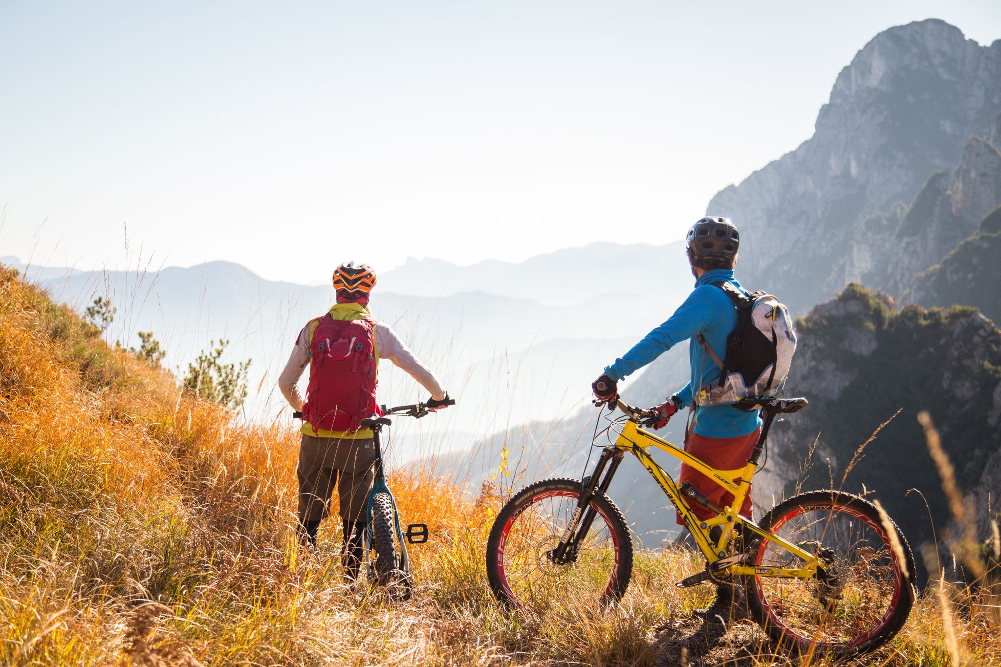
Fantastic autumnal cycling routes through Trentino – Italy’s MTB hotspot
Hiking around Trambileno
Road Cycling Routes around Trambileno
Cycling around Trambileno
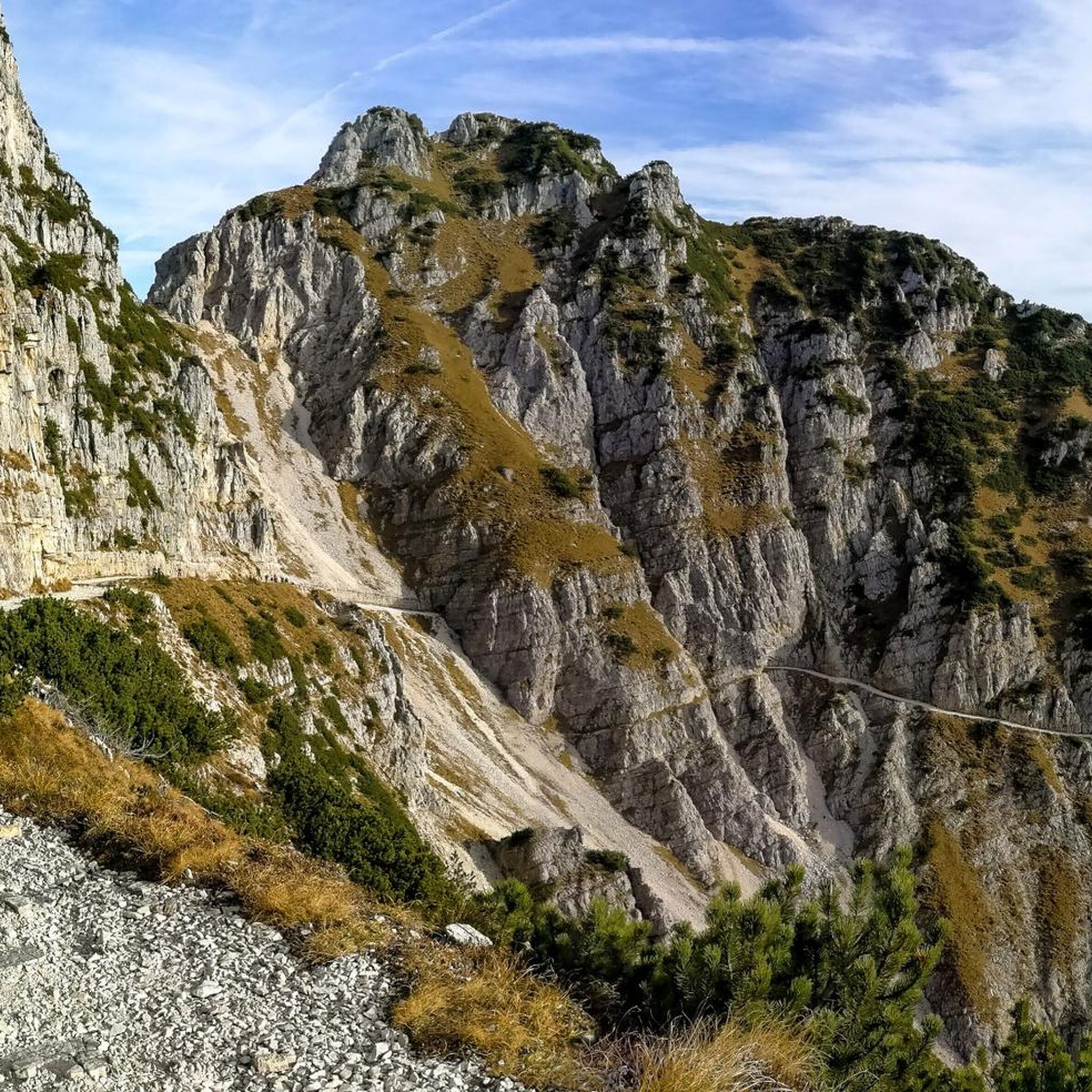
MTB Trails around Trambileno
Gravel biking around Trambileno
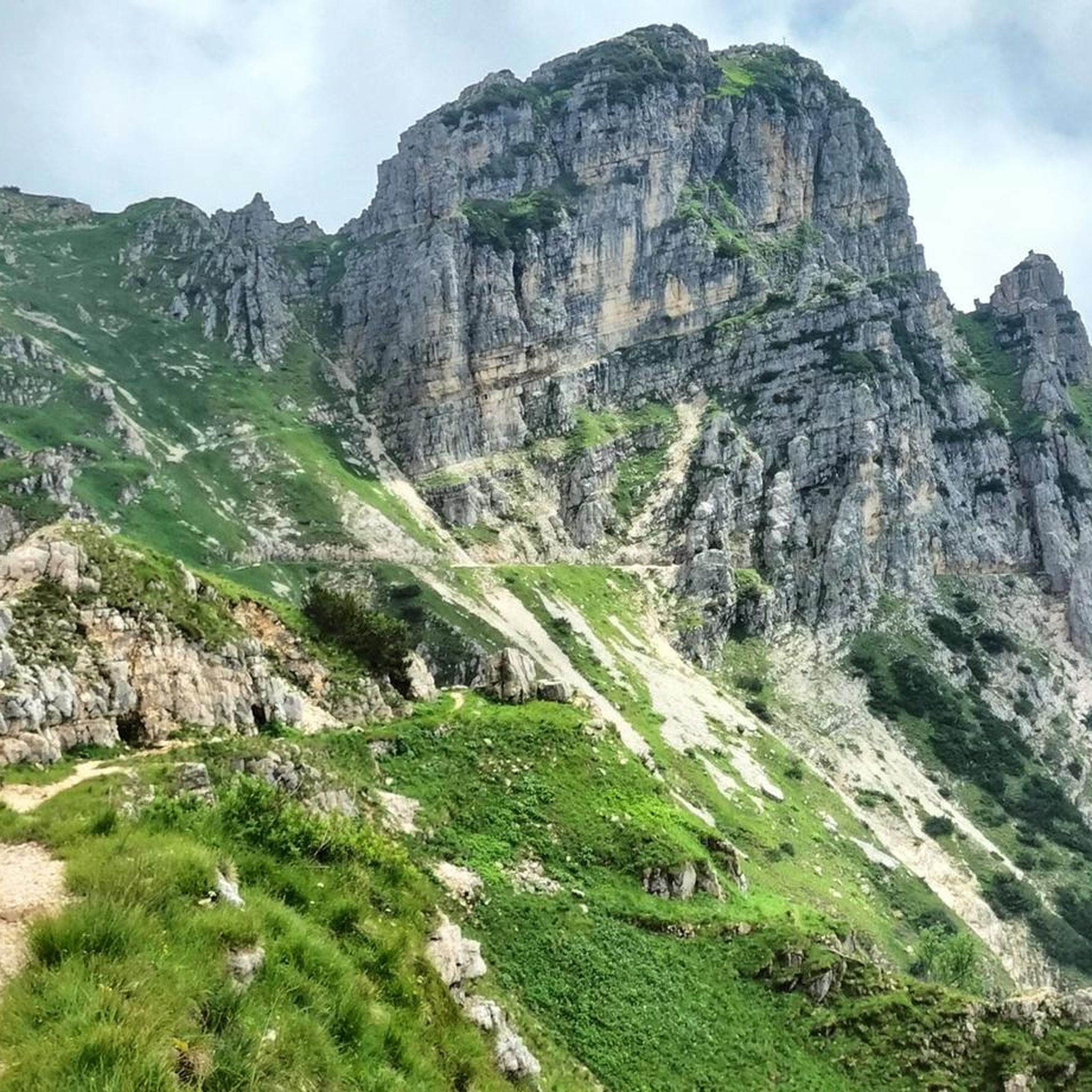
Running Trails around Trambileno

Tips from the Community

Kiosk with WC available. Drinking fountain also present. The local bouldering community obviously meets here.
0
0

A long but very scenic route. The via ferrata was recently renovated, but there are exposed, unprotected sections where extreme caution is required.
0
0

Road of the 52 Tunnels of Pasubio
1
0

Starting point for the route that leads to the Achille Papa Refuge through the 52 Tunnels, equipped with numerous parking areas
0
0

Beautiful and unique night view.
0
0

starting and finishing point of many routes
1
0

Starting point for the tour Rifugio Papa
1
0

Starting point for the 52 Tunnels trail
2
0
Frequently Asked Questions
How many mountaineering routes are available around Trambileno?
There are nearly 30 mountaineering routes around Trambileno, offering a wide range of experiences within the dramatic landscapes of the Trentino region.
What is the typical difficulty level of mountaineering routes in Trambileno?
Most mountaineering routes in Trambileno are rated as difficult (22 out of 28), requiring good fitness, sure-footedness, sturdy shoes, and alpine experience. There are also 6 moderate routes available for those seeking a less strenuous challenge.
Are there any circular mountaineering routes in Trambileno?
Yes, many routes in Trambileno are designed as loops. For example, you can explore the Mountaineering loop from Passo Xomo, which is a moderate 4.6-mile (7.4 km) trail, or the more challenging Mountaineering loop from Sasso delle Poe, covering 3.7 miles (5.9 km).
What kind of natural features can I expect to see on mountaineering routes in Trambileno?
Trambileno is set amidst the rugged Pasubio Massif and the deep gorges of the Valli del Leno. You'll encounter a high plateau, limestone crags like Col Santo, and extensive forests. The region is also known for rivers like the Leno, which flows into a picturesque lake near the San Colombano Hermitage.
What historical landmarks can be found along or near the mountaineering routes?
The area is rich with historical sites, particularly from World War I. You can find impressive structures like the Forra del Lupo – World War I Trench, the Priaforà WWI Military Tunnel, and the Tunnel of the Riflemen. The Sette Croci Memorial is also a significant historical point of interest.
What do other mountaineers say about the routes in Trambileno?
The routes in Trambileno are highly rated by the komoot community, with an average score of 4.8 stars from over 120 reviews. Mountaineers often praise the challenging terrain, expansive views, and the unique blend of natural beauty and historical significance found throughout the Pasubio Massif.
Are there any routes that offer panoramic views?
Absolutely. Many routes provide stunning vistas of the surrounding mountain ranges. For instance, the difficult Achille Papa Hut – Strada Scarubbi loop from Sasso delle Poe is known for its expansive views. The Col Santo mountain, reaching 2000 meters, also offers panoramic peaks as part of local itineraries.
What is the best time of year for mountaineering in Trambileno?
The best time for mountaineering in Trambileno is typically during the warmer months, from late spring to early autumn, when trails are clear of snow and weather conditions are more stable. Always check local weather forecasts before heading out, as alpine conditions can change rapidly.
Are there any specific attractions near the trails that are worth visiting?
Yes, beyond the trails themselves, you can visit the dramatic San Colombano Hermitage, carved into a rocky mountain wall, or the Madonna de La Salette Sanctuary, which offers commanding views. The impressive Forte Pozzacchio, an unfinished Austro-Hungarian fortress from WWI, is also a notable site carved into a rocky promontory on Monte Pasubio.
What kind of terrain should I expect on the more difficult routes?
Difficult routes in Trambileno, such as the Passo Val Fontana d'Oro loop from Sasso delle Poe, navigate rugged mountain terrain. You should expect challenging ascents and descents, often on rocky paths, requiring good physical condition and appropriate gear.
Are there any longer, more challenging mountaineering expeditions available?
For those seeking a longer and more challenging expedition, consider the Achille Papa Hut loop from Punta Favella. This difficult route spans 10.4 miles (16.8 km) and involves over 1100 meters of elevation gain, offering a substantial mountaineering experience.
Most popular routes around Trambileno
Most popular attractions around Trambileno

Get inspired with the komoot mobile app


Explore more
Browse the best Mountain Hikes & Routes in other regions.
