The best MTB trails around Terragnolo
4.5
(3640)
21,074
riders
227
rides
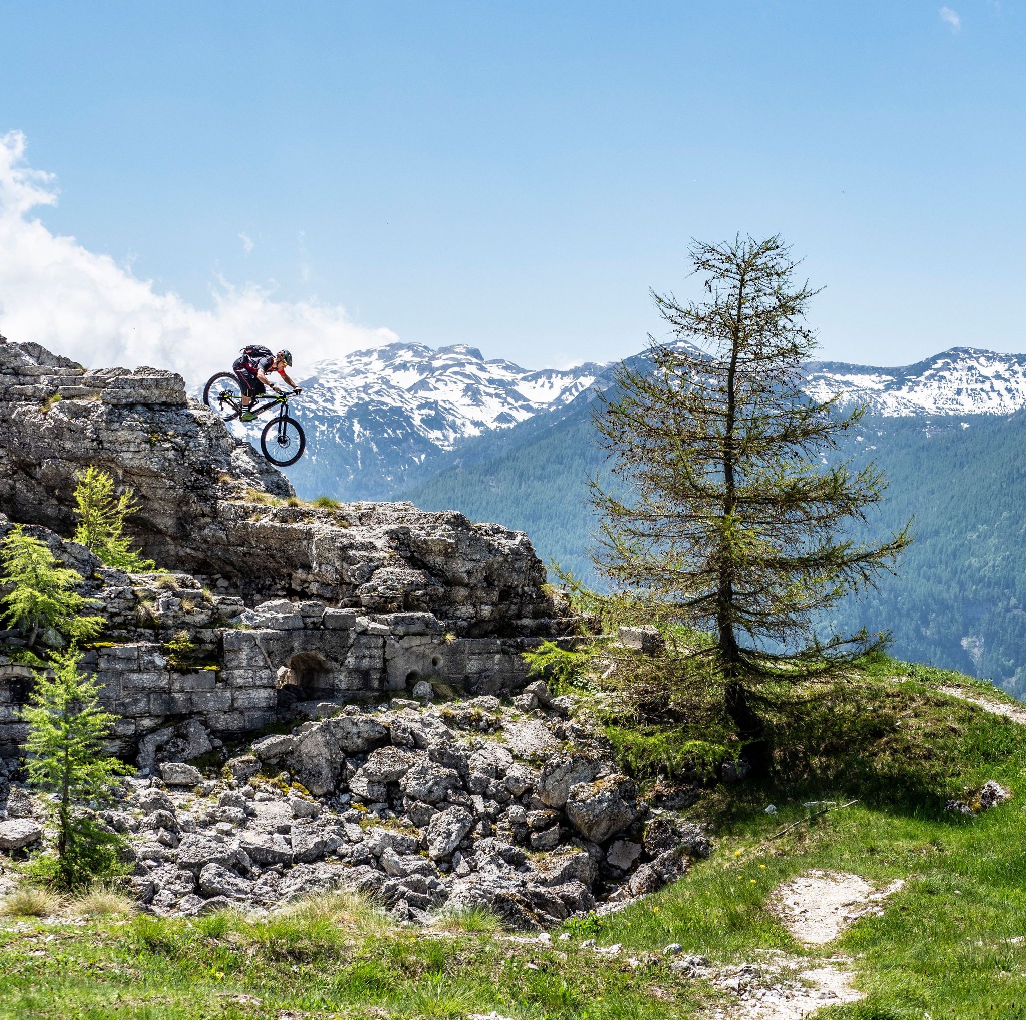
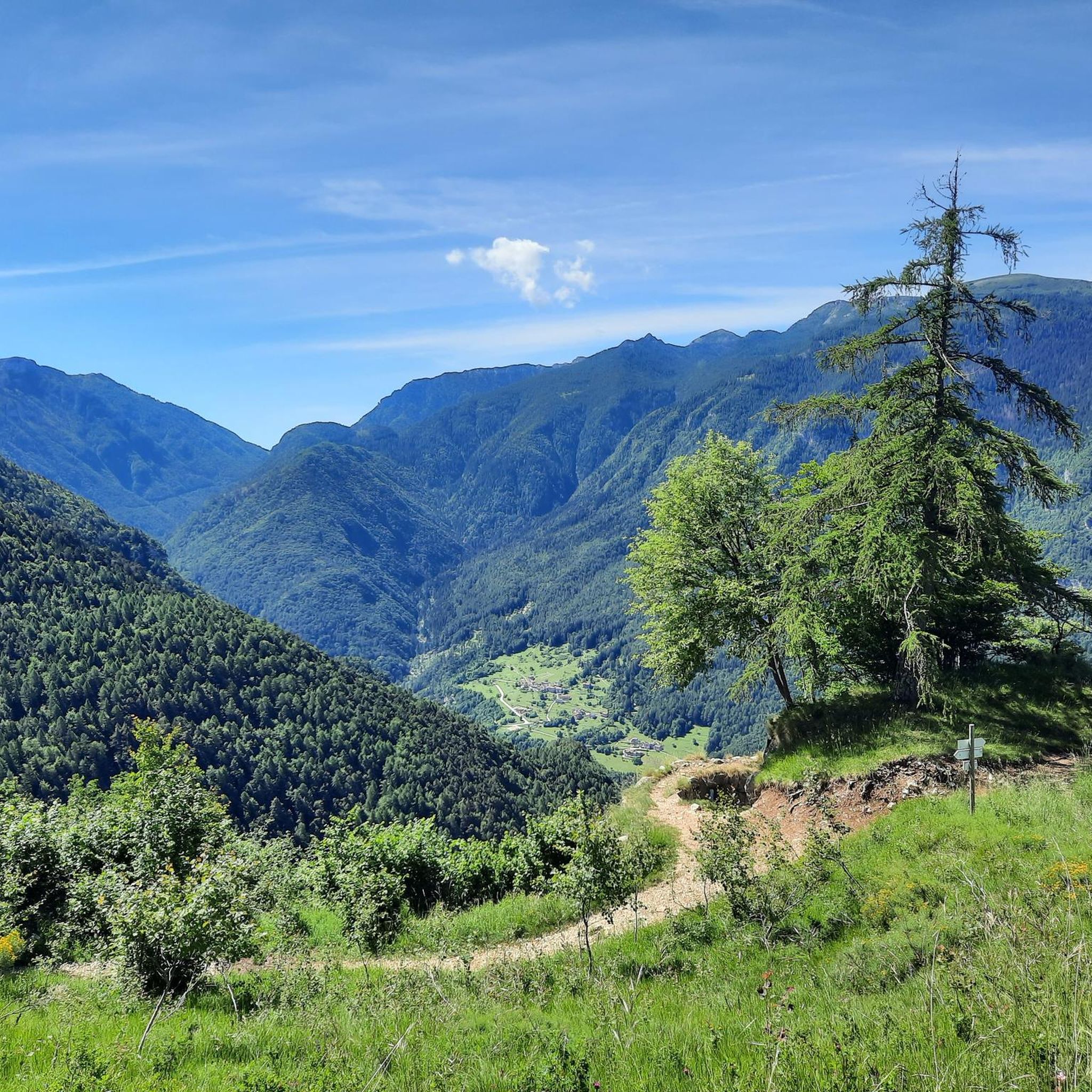
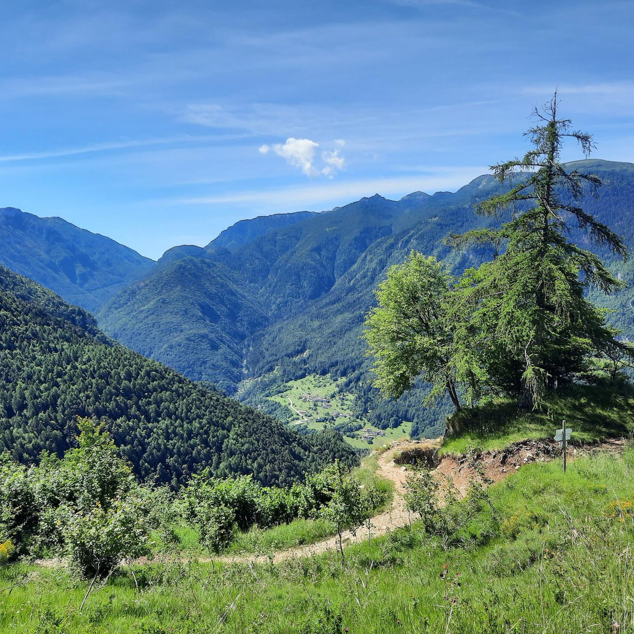
Mountain biking around Terragnolo offers diverse terrain within Italy's Trentino region, characterized by its valley hollowed out by the Leno stream and surrounded by mountains like Monte Pasubio, Finonchio, and Maggio. The area features extensive forests and alpine fields, providing varied topography for both challenging climbs and scenic descents. This landscape includes a network of trails, some of which are historic paths from the First World War.
Best mountain bike trails around Terragnolo
- The most popular mountain bike trail is…
Last updated: October 9, 2026
4.7
(25)
147
riders
40.8km
04:00
1,290m
1,290m
Hard mountain bike ride. Very good fitness required. Advanced riding skills necessary.
4.8
(14)
78
riders
18.7km
02:03
580m
580m
Moderate mountain bike ride. Good fitness required. Suitable for all skill levels.

4.7
(6)
60
riders
16.8km
02:03
670m
670m
Moderate mountain bike ride. Good fitness required. Advanced riding skills necessary.
4.8
(9)
38
riders
25.3km
02:55
910m
910m
Hard mountain bike ride. Very good fitness required. Advanced riding skills necessary. Some portions of the route may require you to push your bike.
5.0
(3)
29
riders
37.3km
04:26
1,490m
1,500m
Hard mountain bike ride. Very good fitness required. Advanced riding skills necessary. Some portions of the route may require you to push your bike.
Get access to more routes and recommendations from other explorers.
Already have an account?
Our route recommendations are based on thousands of hikes, rides, and runs completed by other people on komoot.
Start today with a free account
Your next adventure awaits.

Other adventures around Terragnolo

Tips from the Community

Beautiful scenic and rideable gravel road
1
0
Beautiful, scenic and rideable.
1
0
Beautiful Austro-Hungarian fortress from the First World War. Naturally, what remains are the remnants of the original fortress. It is certainly worth a visit.
0
0

Beautiful wooden sculpture placed on a remarkable viewpoint
1
0
Junction point between the road that climbs from the Bisorte alpine pasture through the Zuccaria valley and the road of the alpine pastures
1
0
Beautiful road, former military mule track of the Great War, connects the hamlet of Giazzera to the Vincenzo Lancia Refuge. The route winds through pastures, splendid mountain views, and historical artifacts from World War I.
1
0
Magnificent resting point with a panorama towards the Folgaria mountains and the Terragnolo valley. Beautiful basin with malga Campobiso
2
0
Frequently Asked Questions
How many mountain bike trails are available in Terragnolo?
Terragnolo offers a wide selection of mountain bike trails, with over 230 routes available. These range from easy forest paths to challenging mountain ascents, catering to various skill levels.
What is the best time of year for mountain biking in Terragnolo?
The best time for mountain biking in Terragnolo is generally from spring through autumn. During these seasons, the weather is most favorable for exploring the valleys, forests, and higher altitudes, allowing for comfortable rides and clear views. Always check local weather conditions before heading out.
What kind of terrain can I expect on mountain bike trails in Terragnolo?
You can expect a diverse range of terrain in Terragnolo. Trails traverse valleys hollowed out by the Leno stream, ascend surrounding mountains like Monte Pasubio, Finonchio, and Maggio, and wind through extensive forests and alpine fields. Many routes also incorporate historical paths from the First World War, offering a unique blend of natural beauty and historical significance.
Are there mountain bike trails suitable for beginners in Terragnolo?
Yes, Terragnolo offers trails suitable for beginners. While many routes are moderate or difficult, there are 17 easy mountain bike tours available, providing gentler options for those new to the sport or looking for a more relaxed ride.
Can you recommend a moderate mountain bike trail in Terragnolo?
For a moderate experience, consider the Meadows Near Forte delle Somme – Forte Dosso delle Somme loop from Piazza. This 13.2 km (8.2 miles) route takes approximately 1 hour 28 minutes to complete and offers a balanced ride through scenic meadows and past historical sites.
What are some challenging mountain bike trails in Terragnolo?
If you're seeking a challenge, the Il Crepaccio – View of Pasubio loop from Piazza is a demanding option. This difficult route spans 38.2 km (23.7 miles) with significant elevation changes, typically taking around 4 hours 30 minutes to complete, and offers stunning views towards Pasubio.
What historical landmarks can I see along mountain bike trails in Terragnolo?
Terragnolo's trails are rich in history, particularly from World War I. You can encounter sites like the Forra del Lupo – World War I Trench, and various forts such as Forte Dosso delle Somme and Fort Belvedere-Gschwent. These historical trails, part of the
Are there any natural attractions or viewpoints to discover while mountain biking?
Absolutely. The region boasts beautiful natural features. You can ride past Lake Lavarone, reach summits like the Italian Tooth, and enjoy panoramic views of the valleys and mountains. The Leno stream also offers picturesque spots for relaxation.
Are there mountain bike trails in Terragnolo that are family-friendly?
While many trails are challenging, Terragnolo does offer easier routes that can be suitable for families, especially those with some biking experience. Look for the 17 easy-rated tours, which typically feature less elevation gain and smoother paths through forests and valleys. Always check the specific route details for suitability.
Are dogs allowed on the mountain bike trails in Terragnolo?
Generally, dogs are welcome on many outdoor trails in the Trentino region, including Terragnolo, provided they are kept on a leash and owners clean up after them. However, it's always advisable to check specific trail regulations or local signage, especially in protected areas or near private property, to ensure a pleasant experience for everyone.
Are there circular mountain bike routes in Terragnolo?
Yes, many mountain bike routes in Terragnolo are designed as loops, allowing you to start and finish at the same point. Examples include the Forte Dosso delle Somme – FOLGABOLIC loop from Passo Coe and the View of Fondo Grande – Forte Cherle loop from Passo Coe, offering convenient options for exploration.
What do other mountain bikers enjoy most about the trails in Terragnolo?
The mountain bike trails in Terragnolo are highly rated by the komoot community, with an average score of 4.5 stars from over 3000 reviews. Riders often praise the diverse terrain, the historical significance of the WWI paths, and the stunning natural landscapes, including forests, alpine fields, and dramatic mountain views.
What are the parking options for mountain bikers in Terragnolo?
Parking is generally available in the various hamlets and near popular trailheads throughout Terragnolo. Specific parking areas can often be found at starting points for tours or near key attractions. It's recommended to check local maps or tour descriptions for the most convenient parking locations for your chosen route.
Is public transport available to access mountain bike trails in Terragnolo?
Public transport options to access mountain bike trails in Terragnolo are limited due to the rural nature of the valley. While there are local bus services connecting some villages, direct access to all trailheads via public transport might be challenging. Planning your route with a car or considering shuttle services if available would be more practical for reaching specific starting points.
Most popular routes around Terragnolo
Most popular attractions around Terragnolo

Get inspired with the komoot mobile app


Explore more
Browse the best MTB trails in other regions.
