The best mountain hikes around Roana
4.7
(17)
134
hikers
14
hikes
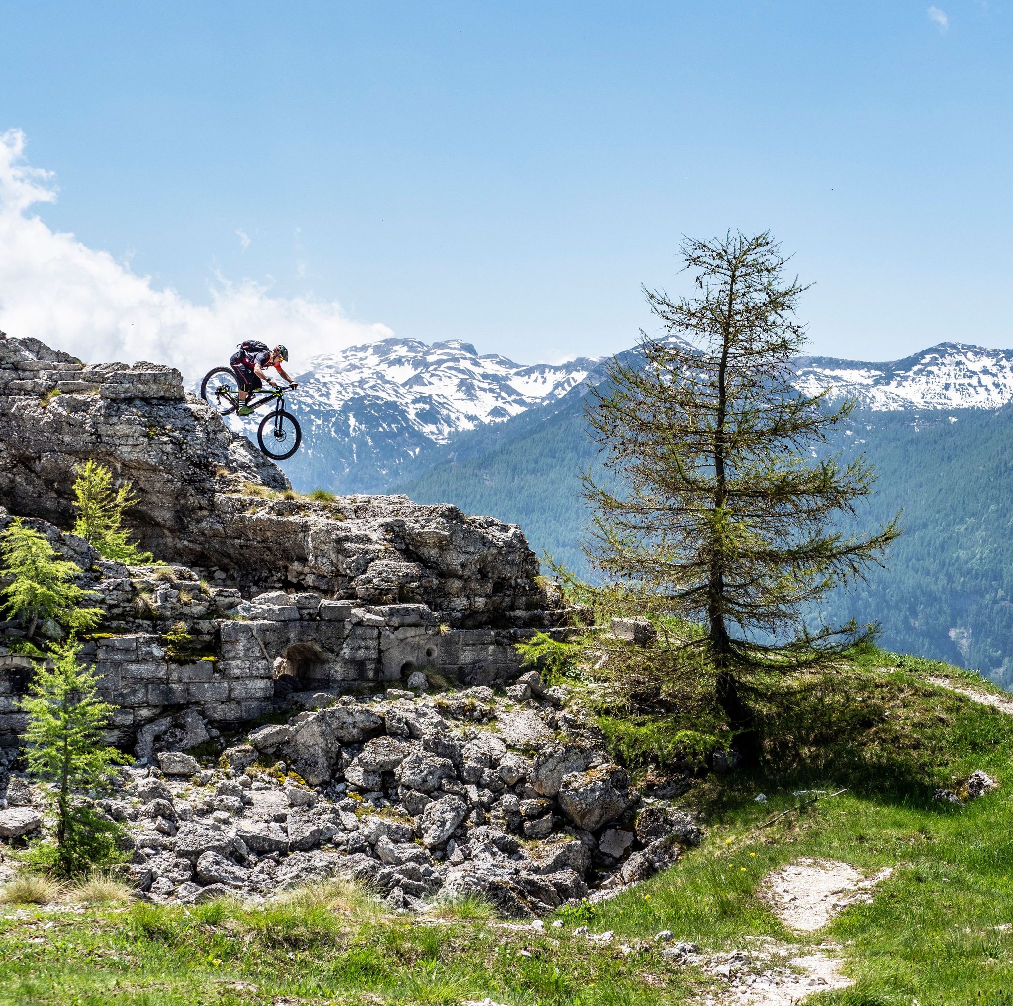
Mountaineering routes around Roana are situated on the scenic Asiago Plateau, characterized by extensive forests, pastures, and notable mountain peaks. The region offers a diverse mountain environment with elevations suitable for challenging ascents and panoramic views. Deep valleys like Val d'Assa add to the varied terrain, providing a rich landscape for outdoor exploration.
Best mountaineering routes around Roana
- The most popular mountaineering route is Cima Portule – Cornetti di Bocchetta Portule loop from Rifugio Larici, an 8.9 miles (14.3…
Last updated: July 4, 2026
14
hikers
7.71km
03:11
460m
460m
Moderate mountaineering route. Good fitness required. Mostly accessible paths. Sure-footedness required.
13
hikers
13.6km
05:23
700m
700m
Hard mountaineering route. Very good fitness required. Mostly accessible paths. Sure-footedness required.

Sign up for free
5.0
(5)
11
hikers
2.91km
01:40
280m
280m
Hard mountaineering route. Great for any fitness level. Sure-footedness, sturdy shoes and alpine experience required.
5.0
(3)
9
hikers
11.0km
04:58
790m
790m
Moderate mountaineering route. Good fitness required. Mostly accessible paths. Sure-footedness required.
3.0
(1)
7
hikers
7.59km
03:57
620m
620m
Moderate mountaineering route. Good fitness required. Mostly accessible paths. Sure-footedness required.
Get access to more routes and recommendations from other explorers.
Sign up for free
Already have an account?
Our route recommendations are based on thousands of hikes, rides, and runs completed by other people on komoot.
Start today with a free account
Your next adventure awaits.
Login or Signup
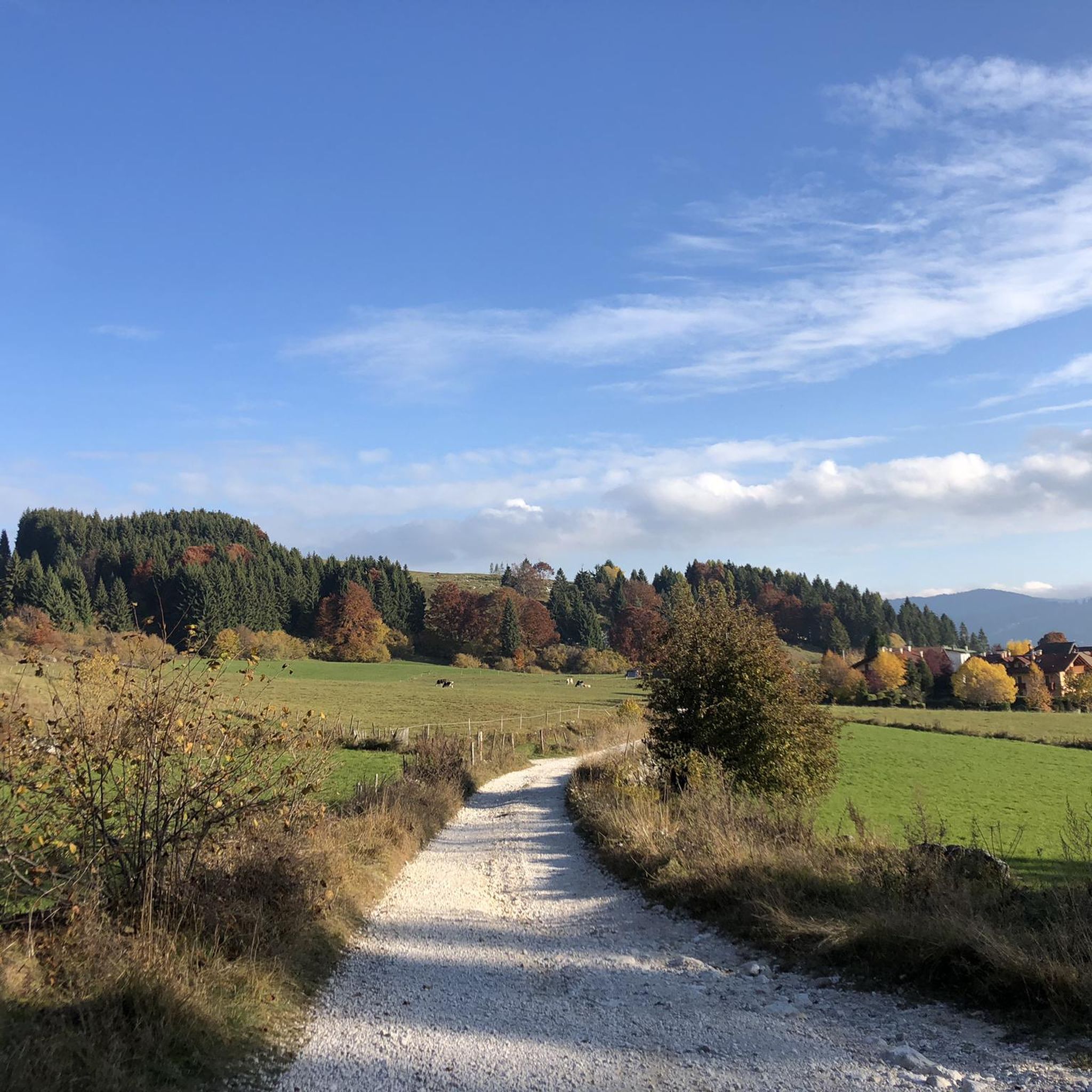
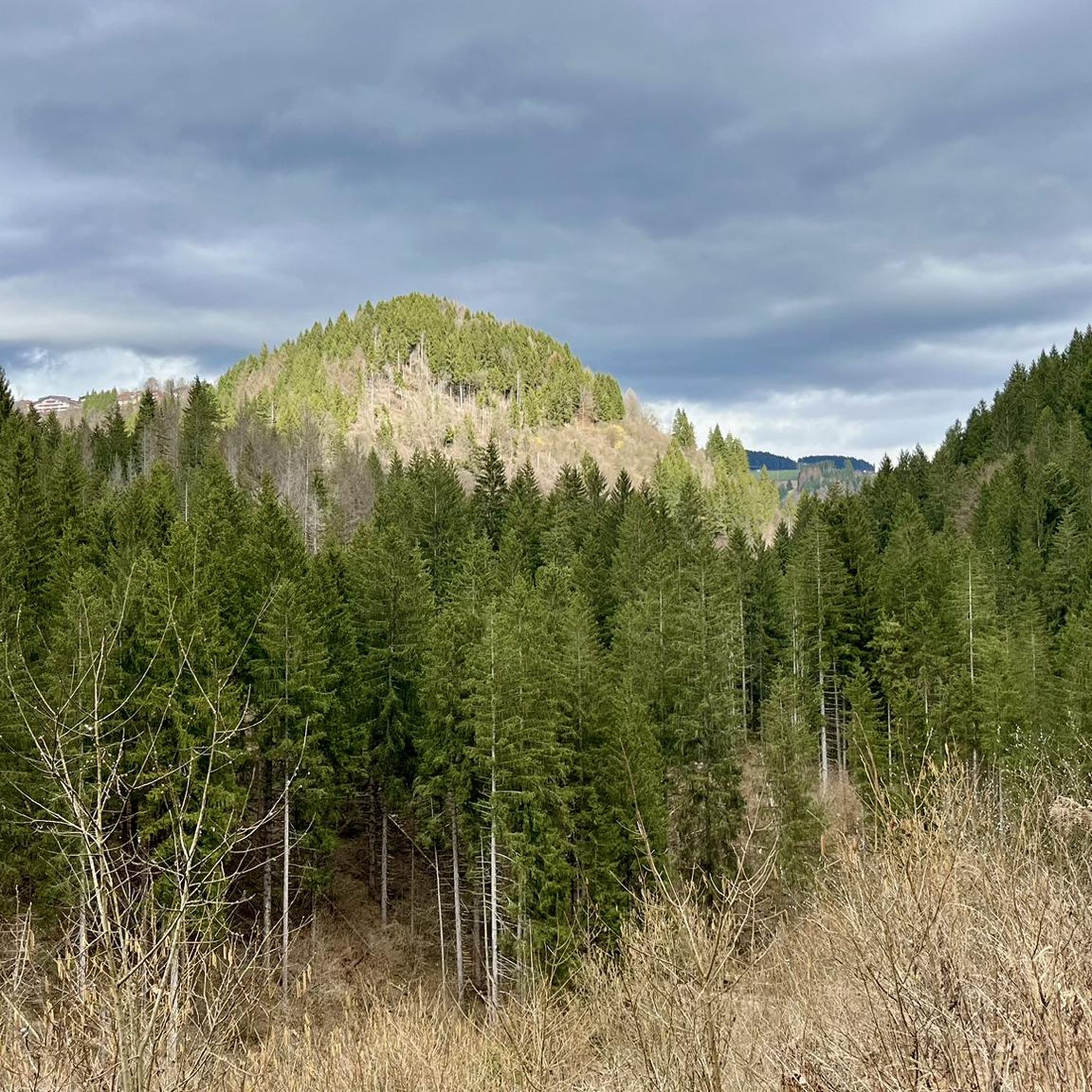
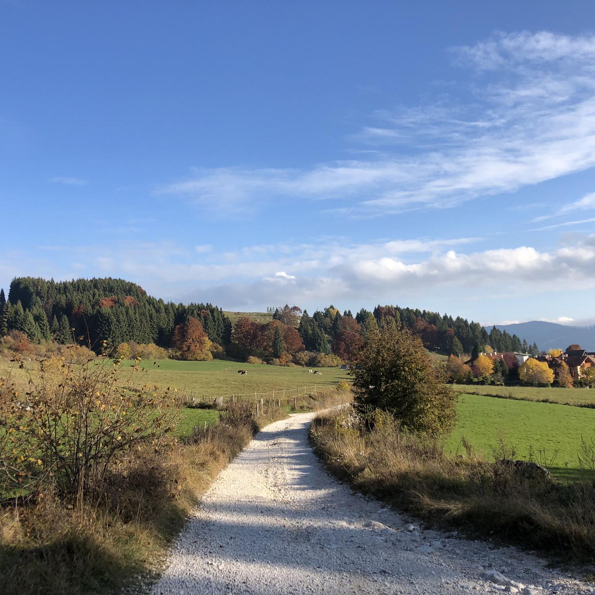


Tips from the Community

spectacular view, very loose path to reach the viewpoint.
0
0

The important crossroads of the roads built by the Austro-Hungarian army on the front line of the Great War
0
0
The little church of Vezzena pass
0
0


Splendid view of the two lakes and the valley
0
0

Starting from Malga Galmarara, at a good pace, you can reach the summit in about 2 hours and 10 minutes. The route presents no real difficulties, except for the last, rather steep section and a descent where you need to be careful to avoid slipping on the rocks. There are two summit books where you can leave a message.
1
0
The summit is easily reachable with good training, the path is never dangerous or exposed, if you continue the tour towards Cima Larici you must pay close attention to the steep descent
0
0
Frequently Asked Questions
What kind of terrain can I expect on mountaineering routes around Roana?
Mountaineering routes around Roana are situated on the scenic Asiago Plateau, characterized by extensive forests, pastures, and notable mountain peaks. You'll encounter a diverse alpine environment with elevations suitable for challenging ascents, deep valleys like Val d'Assa, and varied rock formations. The region offers a mix of trails leading to summits and historical sites.
How many mountaineering routes are available in the Roana area?
There are over 15 mountaineering routes available around Roana, offering a range of experiences from moderate to difficult. The komoot community has explored these varied terrains extensively.
Are there routes suitable for beginners or only experienced mountaineers?
The routes around Roana cater to a range of abilities. While many are rated 'difficult', there are also 'moderate' options available. For example, the Lower Larici Mountain Hut – Portule Peak loop from Rifugio Larici is a moderate route, covering about 11 km with significant elevation gain, making it a good option for those building experience.
What are some notable peaks or viewpoints accessible via these routes?
The Roana area offers access to several significant peaks and historical viewpoints. You can reach summits like Cima Vezzena, known for its panoramic views of Valsugana, or Monte Verena, which hosts a refuge and trails leading to Forte Verena. The highest mountain in the Altopiano dei Sette Comuni, Cima Dodici, also presents a significant challenge for experienced mountaineers.
When is the best time of year for mountaineering in Roana?
Given its alpine environment, the best time for mountaineering in Roana is typically during the warmer months, from late spring through early autumn. This period offers more stable weather conditions and clear access to higher elevations. Winter mountaineering is possible but requires specific equipment and experience due to snow and ice.
Are there any historical sites or landmarks along the mountaineering routes?
Yes, the region is rich in history, particularly from World War I. Many trails lead to restored forts such as Forte Vezzena, Forte Interrotto, Forte Campolongo, and Forte Verena, which offer historical insights alongside incredible viewpoints. You can also find the Cima Vezzena Summit and Fort, which is a notable attraction.
What do other mountaineers enjoy most about the routes in Roana?
The mountaineering routes in Roana are highly rated by the komoot community, with an average score of 4.7 stars. Reviewers often praise the diverse mountain environment, the challenging ascents, and the panoramic views from the peaks. The blend of natural beauty and historical significance also adds to the appeal.
Are there any circular mountaineering routes available?
Yes, several circular routes are available. For instance, the Cima Portule – Cornetti di Bocchetta Portule loop from Rifugio Larici is a difficult 14.3 km circular route exploring high mountain terrain. Another option is the Cima Dodici Summit – Italia Junction loop from Monte Zingarella, an 8.5-mile difficult path with significant elevation gain.
Can I find any unique natural features or attractions near the mountaineering trails?
Beyond the peaks and forests, the Roana area features unique natural attractions. The Val d'Assa, an ancient communication route, is known for prehistoric rock engravings. You can also explore highlights like the Pach waterfall or the Gorgo Santo cave, which are accessible from various points in the region.
Are there opportunities for rock climbing in the Roana area?
Yes, the Altopiano di Asiago, where Roana is located, is recognized as an excellent outdoor gym for sport climbing. It features jagged walls, vertical rises, and various cliffs suitable for all skill levels, from beginners to experienced climbers. For more information on climbing opportunities, you can visit visitaltopianoasiago.com.
What is a good moderate mountaineering route for a day trip?
A good moderate option for a day trip is the Rifugio Larici – Larici Peak loop from Rifugio Larici. This route covers about 7.6 km with a moderate difficulty, offering a rewarding experience without the extreme demands of the more challenging ascents in the region.
Most popular attractions around Roana

Get inspired with the komoot mobile app


Explore more
Browse the best Mountain Hikes & Routes in other regions.
