The best mountain hikes around Rotzo
4.8
(19)
153
hikers
13
hikes
Mountaineering routes Rotzo are situated on the Asiago Plateau, offering a diverse landscape for outdoor activities. The region is characterized by the protective embrace of the Venetian Pre-Alps, featuring prominent peaks like Spitz di Rotzo and Cima Campolongo. Extensive forests and a network of trails traverse the area, providing varied terrain for mountaineers. This setting, at the confluence of the Val d'Assa and the Astico River valley, ensures a rich environment for exploring mountain paths.
Best mountaineering routes around Rotzo
…Last updated: October 8, 2026
5.0
(3)
15
hikers
11.3km
05:58
910m
910m
Hard mountaineering route. Very good fitness required. Sure-footedness, sturdy shoes and alpine experience required.
16
hikers
7.41km
03:06
450m
450m
Moderate mountaineering route. Good fitness required. Mostly accessible paths. Sure-footedness required.

5.0
(4)
11
hikers
2.91km
01:40
280m
280m
Hard mountaineering route. Great for any fitness level. Sure-footedness, sturdy shoes and alpine experience required.
5.0
(3)
10
hikers
11.0km
04:58
790m
790m
Moderate mountaineering route. Good fitness required. Mostly accessible paths. Sure-footedness required.
3.0
(1)
5
hikers
7.59km
03:57
620m
620m
Moderate mountaineering route. Good fitness required. Mostly accessible paths. Sure-footedness required.
Get access to more routes and recommendations from other explorers.
Already have an account?
Our route recommendations are based on thousands of hikes, rides, and runs completed by other people on komoot.
Start today with a free account
Your next adventure awaits.
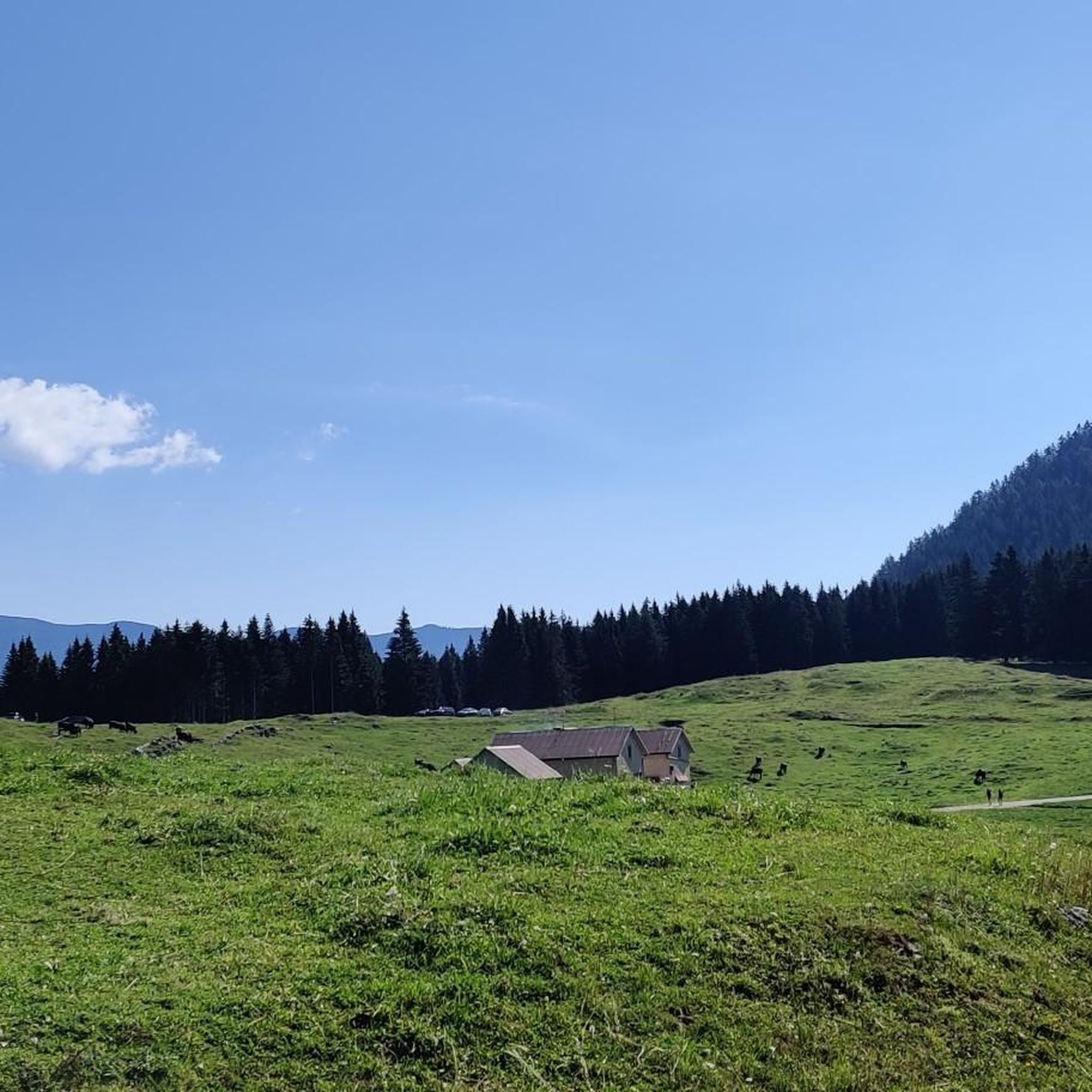
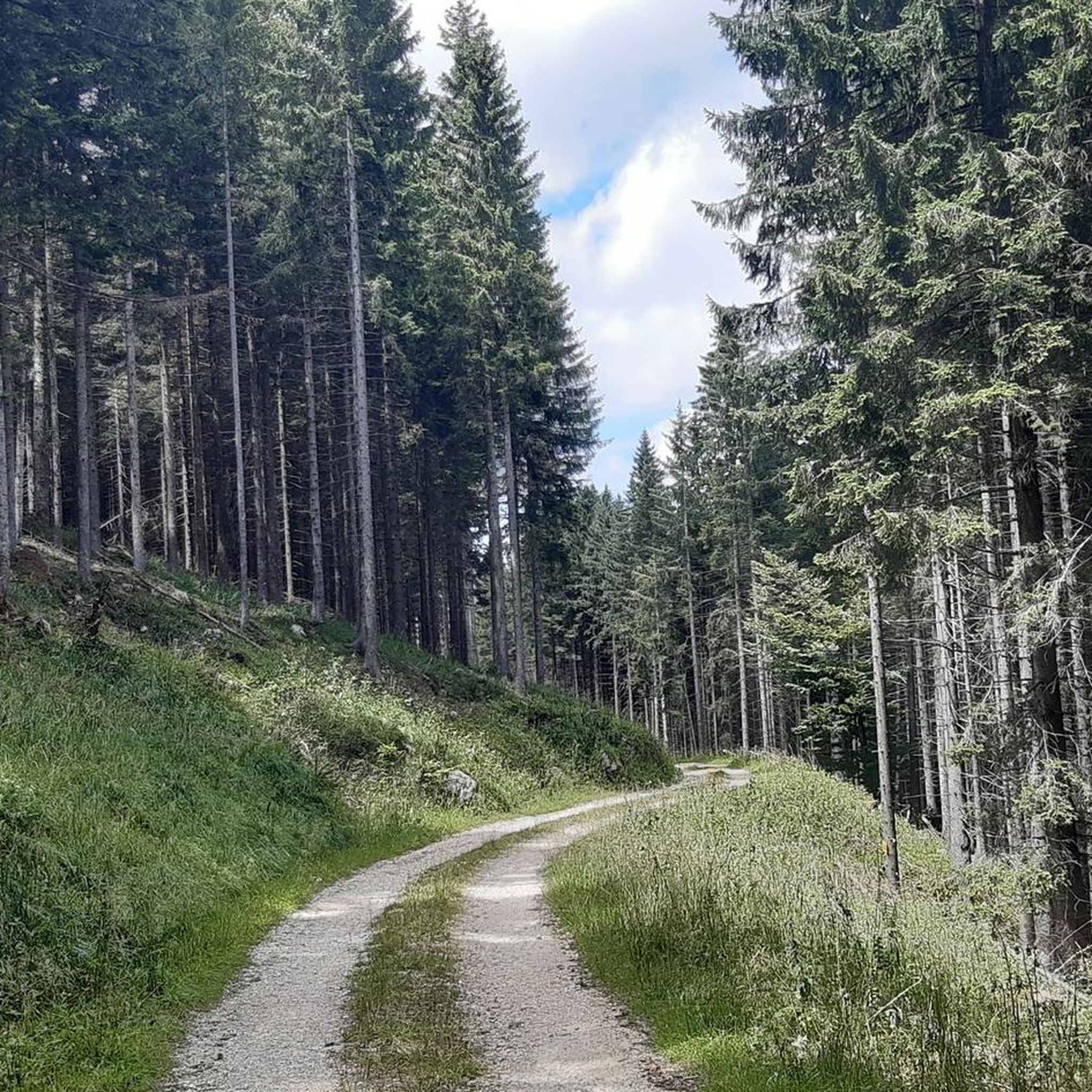
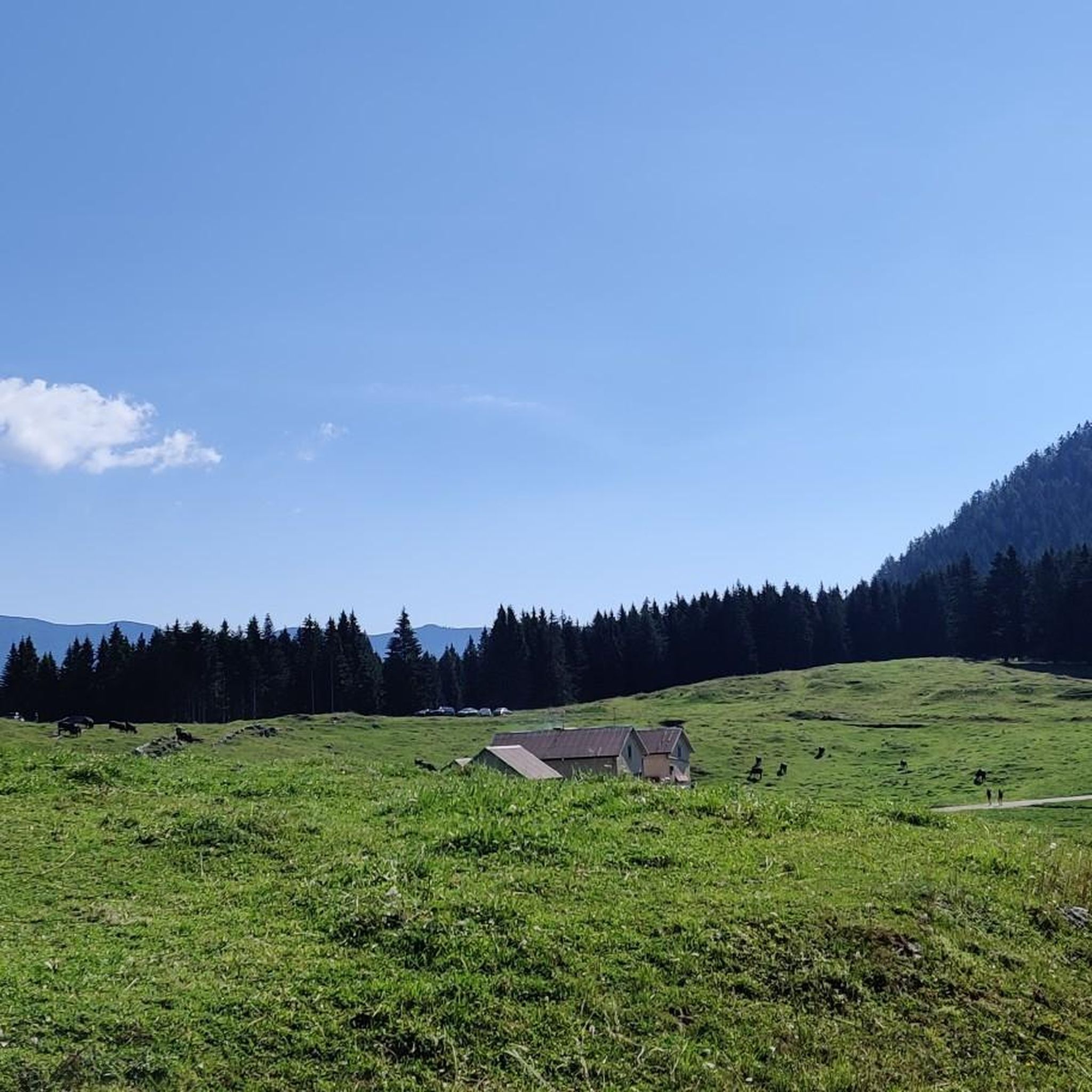

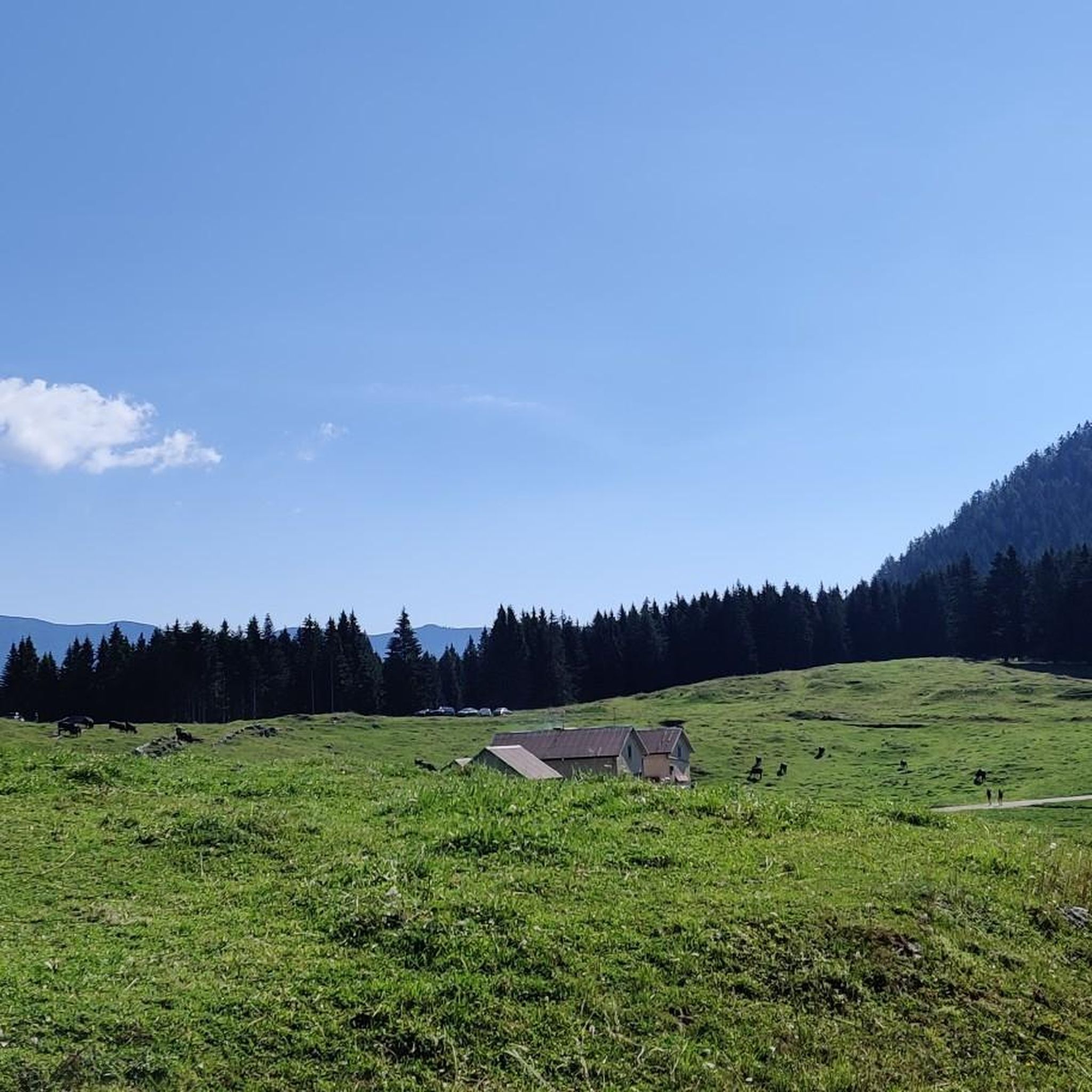

Tips from the Community

The path dedicated to the citizen of Levico Magnago, member of the local SAT section
0
0

spectacular view, very loose path to reach the viewpoint.
0
0
The little church of Vezzena pass
0
0
The satisfying plateau where you forget the effort of the Kaiserjegerstrasse climb
0
0


Splendid view of the two lakes and the valley
0
0

Very steep path leading to Cima Vezzena, it is recommended to be in good physical shape
0
0
Frequently Asked Questions
How many mountaineering routes are available in Rotzo?
Rotzo offers a selection of 15 mountaineering routes, ranging from moderate to difficult, providing diverse options for exploring the region's mountainous terrain.
What are the typical difficulty levels for mountaineering routes in Rotzo?
The mountaineering routes in Rotzo are primarily categorized as moderate or difficult. There are 7 moderate routes and 8 difficult routes, catering to various experience levels.
What is the best time of year for mountaineering in Rotzo?
The region around Rotzo is ideal for mountaineering during the warmer months, typically from late spring to early autumn. This period offers the most favorable weather conditions for tackling the challenging trails and enjoying the panoramic views.
Are there any historical sites to explore along the mountaineering routes?
Yes, Rotzo's mountaineering routes often intertwine with significant historical sites, particularly from World War I. You can explore restored forts like Forte Verena and Fort Belvedere-Gschwent, which offer both historical context and scenic vistas. The Fort Cima Vezzena loop from Passo Vezzena is a moderate route that passes by the historic Werk Verle.
Can I see any natural landmarks or unique features while mountaineering in Rotzo?
Absolutely. The Rotzo area is known for its dramatic karst landscapes, dense forests, and unique rock formations. The Anelli delle Anguane – Scala Grazia loop from San Pietro is a difficult route that takes you through some of these distinctive natural features. The broader Altopiano dei Sette Comuni also features waterfalls and striking geological formations.
Are there any routes that feature waterfalls?
While not directly on the listed komoot routes, the broader Altopiano dei Sette Comuni region, which includes Rotzo, is known for natural attractions like waterfalls. The Sentiero delle Cenge (Trail of the Ledges) is a notable difficult trail in the area that leads to the 30-meter Cascate del Pach waterfall.
Are there any circular mountaineering routes in Rotzo?
Yes, many routes in Rotzo are designed as loops, allowing you to start and end at the same point. Examples include the difficult Cima Portule – Cornetti di Bocchetta Portule loop from Rifugio Larici and the moderate Lower Larici Mountain Hut – Portule Peak loop from Rifugio Larici.
What do other mountaineers enjoy the most about mountaineering in Rotzo?
The mountaineering routes in Rotzo are highly rated by the komoot community, with an average score of 4.7 stars. Reviewers often praise the challenging ascents, the diverse landscapes of the Venetian Pre-Alps, and the extensive forests that define the area.
Are there options for advanced mountaineers seeking a challenge?
Yes, Rotzo offers several challenging routes for experienced mountaineers. Difficult trails like the Cima Portule – Cornetti di Bocchetta Portule loop from Rifugio Larici involve significant elevation gains and rugged terrain, requiring good fitness and alpine experience.
Are there any family-friendly mountaineering routes in Rotzo?
While many routes in Rotzo are moderate to difficult, shorter moderate options might be suitable for families with older children who have some hiking experience. For example, the Fort Cima Vezzena loop from Passo Vezzena is a moderate 4.8-mile path that offers panoramic views and historical interest.
What are the regulations for bringing dogs on mountaineering trails in Rotzo?
Specific regulations for dogs on trails can vary. Generally, dogs are permitted on many outdoor trails in Italy, but it is advisable to keep them on a leash, especially in protected areas or near wildlife. Always ensure your dog is well-behaved and that you carry waste bags.
Are there opportunities for sport climbing near Rotzo?
While Rotzo itself is primarily known for hiking, the broader Altopiano dei Sette Comuni is an excellent destination for sport climbing. The region is described as an "extraordinary open-air gym" with various climbing crags near towns like Foza, Roana, and Mount Cengio, offering routes for different skill levels. For more information, you can visit visitaltopianoasiago.com.
Where can I find parking for mountaineering trails in Rotzo?
Parking availability often depends on the specific trailhead. For routes starting from Rifugio Larici, such as the Rifugio Larici – Larici Peak loop, parking is typically available near the mountain hut. For routes like the Fort Cima Vezzena loop, parking can be found near Passo Vezzena. It's recommended to check specific route details for designated parking areas.
Most popular attractions around Rotzo

Get inspired with the komoot mobile app


Explore more
Browse the best Mountain Hikes & Routes in other regions.
