The best road cycling routes around Castelnuovo
4.5
(299)
7,979
riders
59
rides
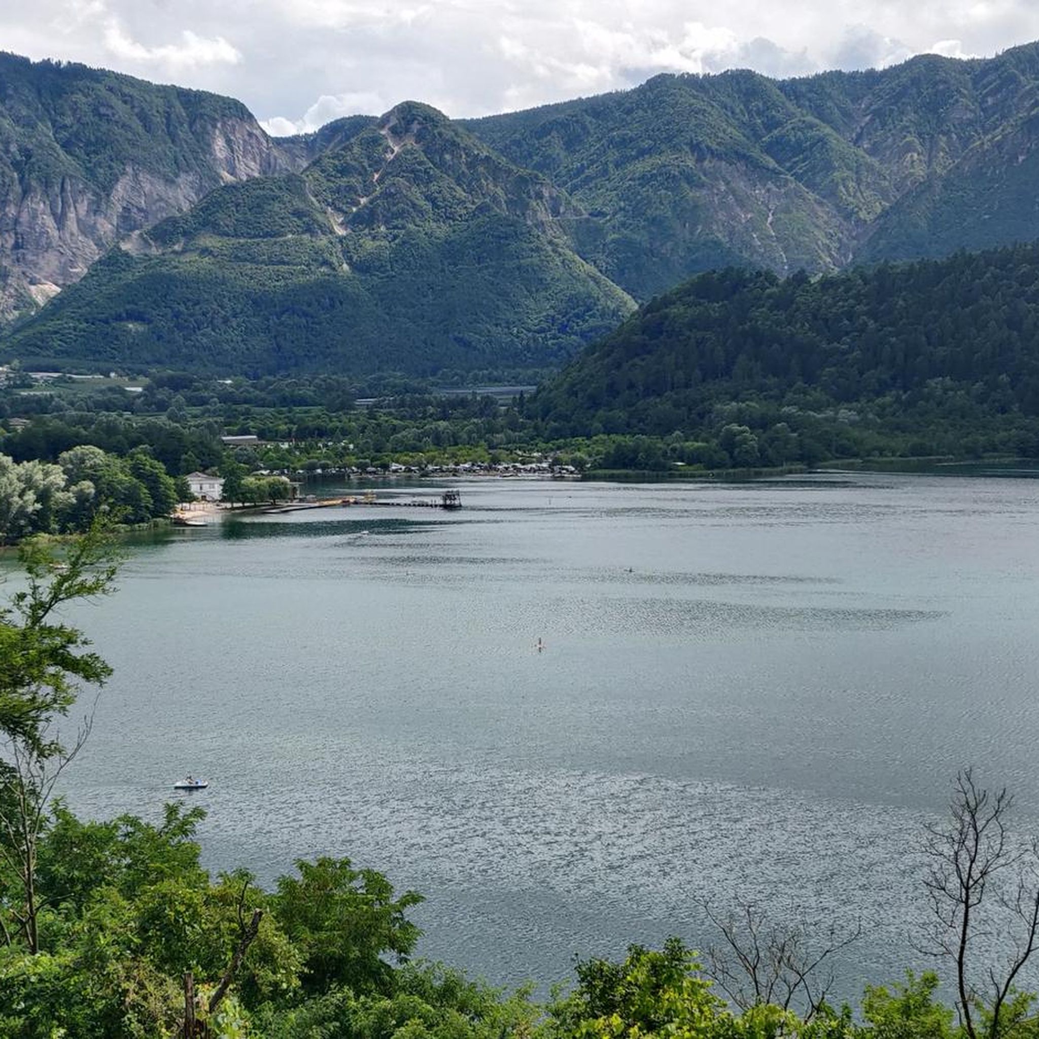
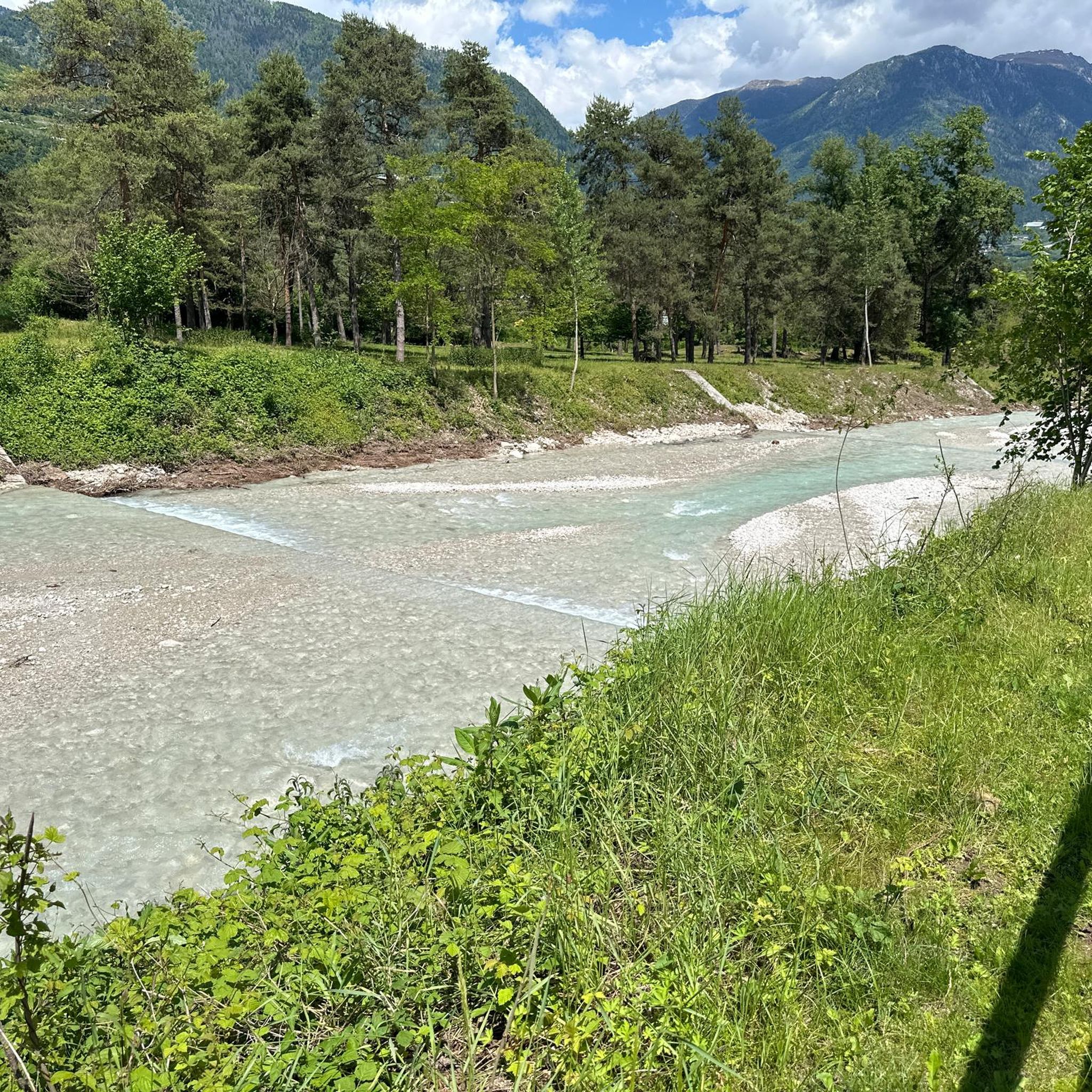
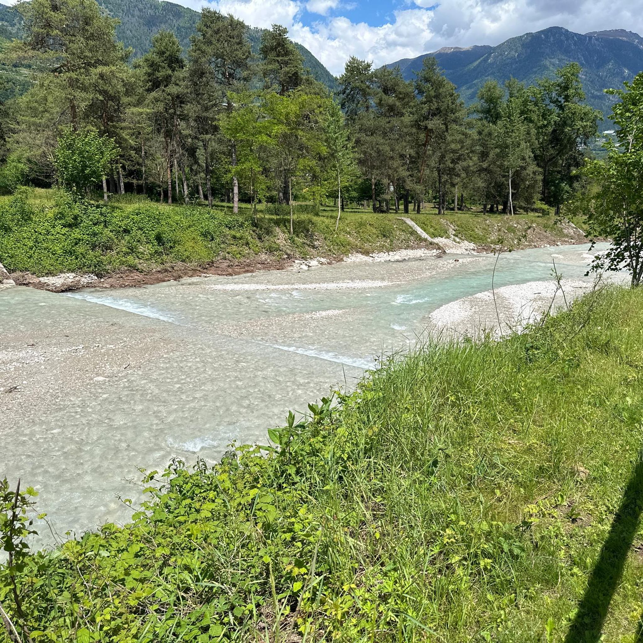
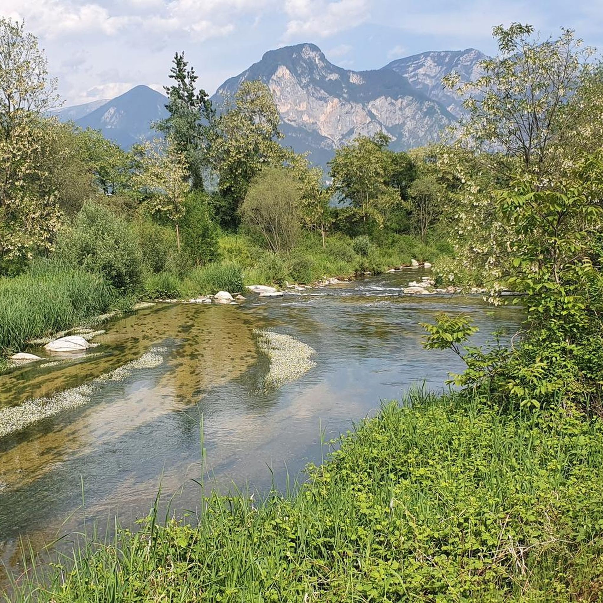
Road cycling routes around Castelnuovo traverse varied terrain, featuring river valleys, lake shores, and mountain passes. The region is characterized by routes that follow the Brenta River and the Valsugana Cycle Path, offering relatively flat sections. Higher elevations are present with routes ascending towards passes like Forcella Pass and Passo Brocon, providing significant climbs. The landscape includes views of Lake Levico and surrounding natural areas.
Best road cycling routes around Castelnuovo
- The most popular road cycling route is Castelnovo Bike…
Last updated: September 27, 2026
4.8
(10)
309
riders
74.2km
04:05
1,580m
1,580m
Hard road ride. Very good fitness required. Mostly well-paved surfaces and easy to ride.
4.8
(8)
231
riders
Easy road ride. Great for any fitness level. Mostly well-paved surfaces and easy to ride.

5.0
(2)
156
riders
62.2km
03:51
1,730m
1,730m
Hard road ride. Very good fitness required. Mostly well-paved surfaces and easy to ride.
5.0
(2)
98
riders
144km
06:30
1,550m
1,550m
Hard road ride. Very good fitness required. Mostly well-paved surfaces and easy to ride.
5.0
(3)
97
riders
106km
05:05
1,420m
1,420m
Hard road ride. Very good fitness required. Mostly well-paved surfaces and easy to ride.
Get access to more routes and recommendations from other explorers.
Already have an account?
Our route recommendations are based on thousands of hikes, rides, and runs completed by other people on komoot.
Start today with a free account
Your next adventure awaits.

Tips from the Community

At the top of the steep descent to Trento
0
0

Cima di Campo (1,425–1,512 m) in Arsiè is a well-known mountain and alpine pass in the Belluno Dolomites, famous for its cycling climb, the Forte Leone from World War I, and hiking routes. Length: Approximately 18.5 km starting from the center of Arsiè. Elevation gain and Gradient: 1,111 meters of elevation gain with an average gradient of 6% and double-digit peaks in the initial sections towards Mellame and Col Perer. Famous for being the first iconic climb of the Dolomiti Bellunesi cycling granfondo. Forte Leone: A large armored military fortress built between 1906 and 1912 to defend the border, currently undergoing renovation.
1
0
historic mountain road with eight hairpin bends, the Tagliata della Scala and the Tagliata delle Fontanelle. They are located between the Valsugana and the territory of Feltre, in Veneto. The fortifications: Between 1892 and 1895, the Tagliata della Scala in the lower part and the Tagliata delle Fontanelle in the upper part were built to defend the border. The walkway: The two parts are joined by a long covered gallery with loopholes. War: They did not play a major military role during World War I and were later abandoned.
0
0

Fortification built in a natural cave. In the Great War it was a blocking point defending Valsugana. There are references to it as a fortification around the year 1000.
0
0
Passage crossing from the Tesino basin, arriving from Valsugana and the Primiero and Vanoi valleys. Environment rich in pastures and landscapes on the surrounding mountains.
0
0
The numerous fountains of past times.
0
0
Artificial basin that creates a wetland and biodiversity.
0
0
It stands on land belonging to the owners of Castel Ivano and is managed by local hunters.
0
0
Frequently Asked Questions
How many road cycling routes are available around Castelnuovo?
Castelnuovo offers over 60 road cycling routes, catering to various skill levels. You'll find a good mix of easy, moderate, and difficult options, ensuring there's something for every cyclist to explore the region's diverse landscapes.
What kind of terrain can I expect on road cycling routes in Castelnuovo?
The region around Castelnuovo features a diverse mix of terrain. You'll encounter picturesque river valleys, serene lake shores, and challenging mountain passes. Many routes follow the Brenta River and the Valsugana Cycle Path, offering relatively flat sections. For those seeking more elevation, routes ascend towards passes like Forcella Pass and Passo Brocon, providing significant climbs and rewarding views.
Are there any easy or family-friendly road cycling routes in Castelnuovo?
Yes, Castelnuovo has 11 easy road cycling routes perfect for beginners or families. A great option is the Castelnovo Bike Grill – Valsugana Cycle Path loop from Strigno, which is 30.3 miles (48.8 km) long and follows the scenic Valsugana Cycle Path. Another easy route is the Bicigrill Castelnuovo – Bicigrill di Tezze loop from Borgo Valsugana Est, offering gentle gradients along the valley floor.
What are some challenging road cycling routes for experienced riders?
For experienced riders seeking a challenge, Castelnuovo offers 23 difficult routes. A notable option is the Forcella Pass – Passo Brocon loop from Strigno, a 62.2 miles (100.1 km) trail that leads through demanding mountain passes. Another challenging ride is the Lake Levico – Valstagna and the River Brenta loop from Strigno, covering 143.8 km with significant elevation changes.
Are there circular road cycling routes available?
Yes, many road cycling routes around Castelnuovo are designed as loops, allowing you to start and finish at the same point. Examples include the Castelnovo Bike Grill – Valsugana Cycle Path loop from Strigno and the Forcella Pass – Passo Brocon loop from Strigno, offering convenient circular journeys through the region's varied landscapes.
What can I see along the road cycling routes in Castelnuovo?
Road cycling routes in Castelnuovo offer stunning natural beauty and historical sights. You can enjoy views of Lake Levico and the Brenta River, as well as the surrounding natural areas. For those interested in local landmarks, routes may pass by natural monuments such as Italia Junction or the unique Castelloni of San Marco. You might also encounter mountain huts like Barricata Hut or Serot Mountain Hut.
Are there places to stop for refreshments or food along the routes?
Yes, the region is well-equipped for cyclists. Many routes, especially those along the Valsugana Cycle Path, feature 'Bicigrill' stops. These are dedicated rest areas offering refreshments, food, and sometimes bike services. The names of routes like "Castelnovo Bike Grill" and "Bicigrill Castelnuovo" directly refer to these convenient stops.
What do other road cyclists enjoy most about road cycling in Castelnuovo?
The road cycling routes in Castelnuovo are highly rated by the komoot community, with an average score of 4.4 stars from over 300 reviews. Cyclists often praise the diverse terrain, which includes scenic river valleys, beautiful lake views, and challenging mountain ascents. The well-maintained roads and the variety of options for different ability levels are also frequently highlighted.
Is it possible to access road cycling routes using public transport?
While specific public transport connections to trailheads are not detailed, the region is generally accessible. For routes along the Valsugana Cycle Path, it's worth checking local bus or train services that run parallel to the path, as they often cater to cyclists, especially during peak seasons. Always verify schedules and bike transport policies with local operators.
What is the best season for road biking in Castelnuovo?
The best season for road biking in Castelnuovo typically spans from spring to early autumn. During these months, the weather is generally mild and pleasant, making for ideal cycling conditions. Spring offers lush green landscapes, while autumn provides vibrant colors and cooler temperatures, especially for longer rides or mountain ascents. Always check local weather forecasts before heading out.
Are there any specific viewpoints or scenic spots along the routes?
Absolutely. The routes around Castelnuovo are renowned for their scenic beauty. You'll find numerous viewpoints offering panoramic vistas of the Brenta River valley, Lake Levico, and the surrounding mountains. The higher elevations, particularly on routes ascending towards passes like Forcella Pass, provide breathtaking long-range views of the natural landscape.
Are there any routes that offer a mix of terrain, including some gravel sections?
While this guide focuses on road cycling, the broader Tuscan region (if considering other 'Castelnuovo' areas like Castelnuovo Berardenga) is famous for its 'strade bianche' (white roads), which are gravel paths. In the immediate Castelnuovo area covered by this guide, the primary focus is on paved roads. However, for those seeking adventure, some routes might incorporate well-maintained unpaved sections, so it's always good to check route details and surface types if you're looking for a mixed-terrain experience.
Most popular routes around Castelnuovo
Most popular attractions around Castelnuovo

Get inspired with the komoot mobile app


Explore more
Browse the best Road cycling routes in other regions.
