The best walks and hikes around Schleitheim
4.5
(7930)
33,642
hikers
91
hikes
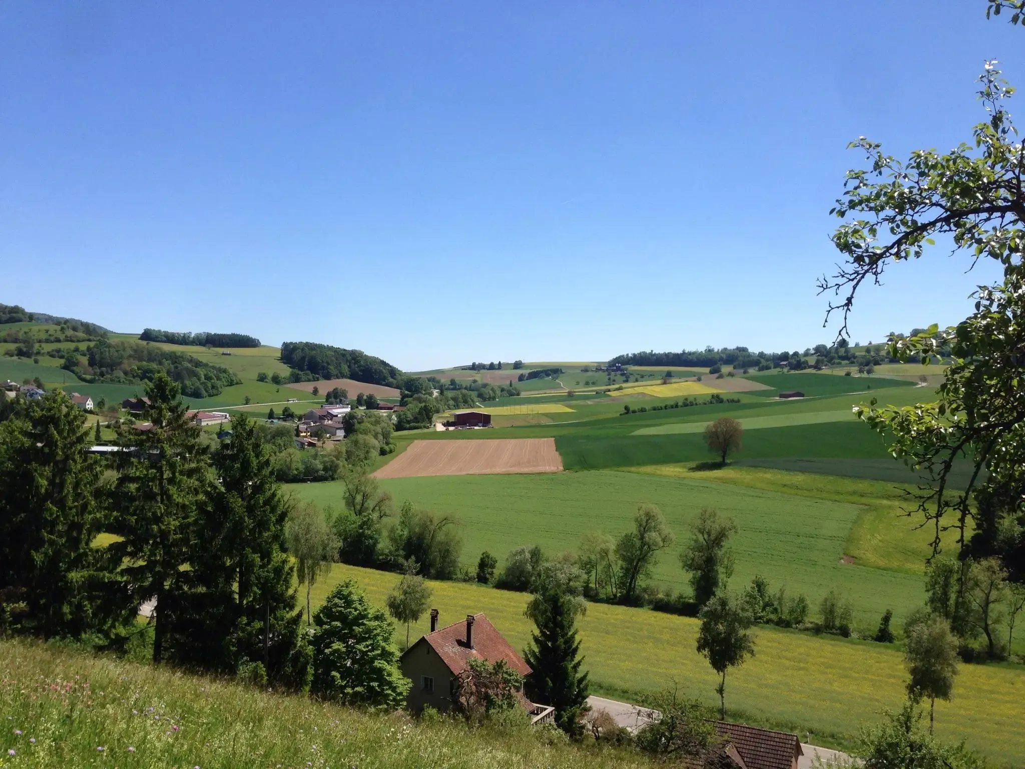
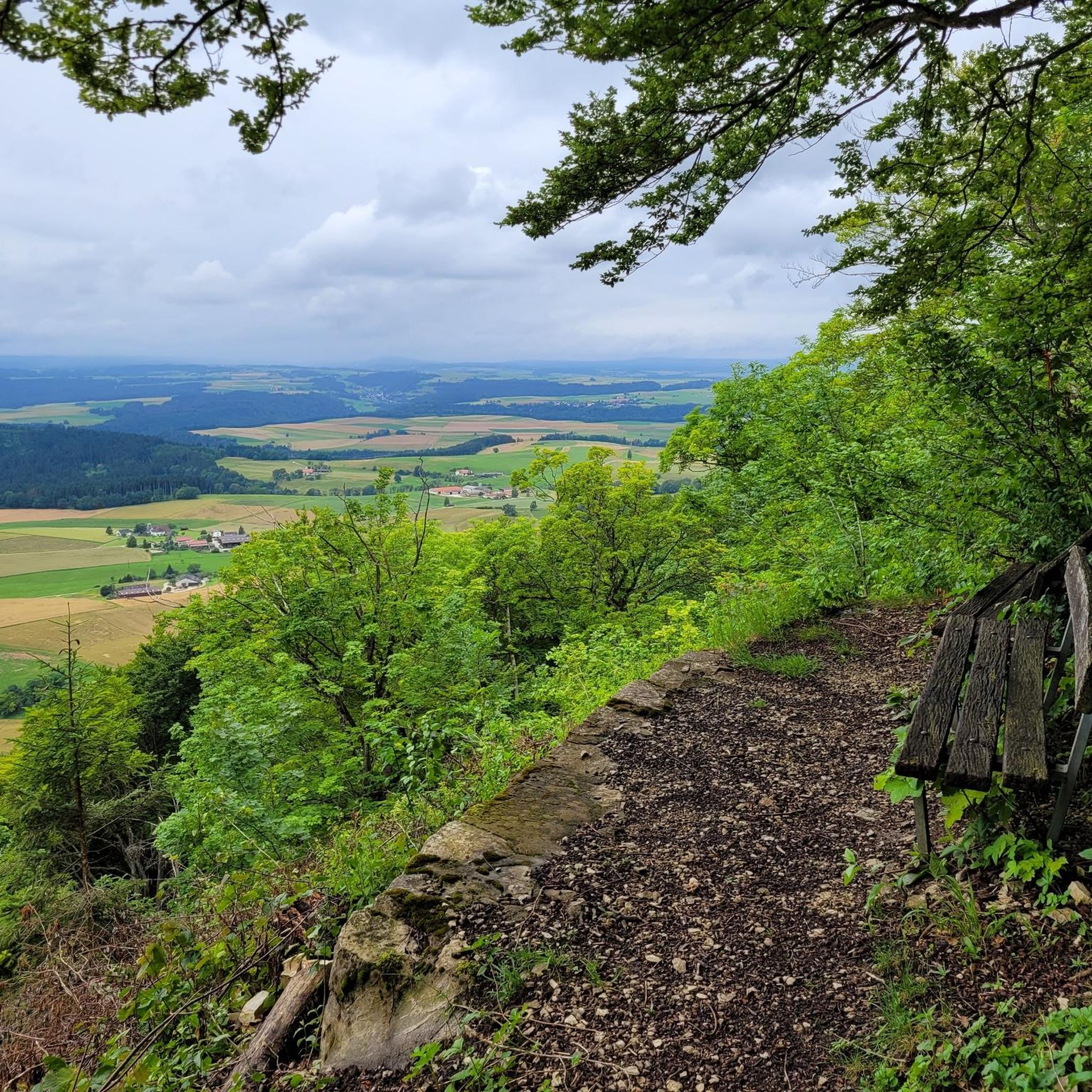
Hiking around Schleitheim offers diverse landscapes within the Schaffhausen Regional Nature Park. The region features varied terrain, including extensive forested areas and the Randen hills, which provide elevated viewpoints. The renaturalized Wutach river flows through the area, adding a serene natural element. Wetland habitats are also present, showcasing important biotopes.
Best hiking trails around Schleitheim
- The most popular hiking route is Randen Weg, a 10.4 miles (16.7 km) trail that takes 5 hours 4 minutes to complete. This difficult route traverses the Randen hills, offering expansive views.
- Another top favourite among local hikers is Wagnerhaus – Tüüfelschuchi Gorge loop from Schleitheim, a moderate 3.8 miles (6.2 km) path. This trail leads through varied scenery, including the Tüüfelschuchi Gorge.
- Local hikers also love the Schlossranden Forest Inn – Siblinger Randen House loop from Siblingen, a 5.0 miles (8.1 km) trail leading through forested areas and past the Schlossranden Forest Inn, often completed in about 2 hours 16 minutes.
- Hiking around Schleitheim is defined by the Randen hills, dense woodlands, and the Wutach river. The network offers options for different ability levels, from comfortable circular routes to more challenging treks.
- The routes in Schleitheim are highly rated by the komoot community with an average score of 4.5 stars from over 1600 reviews. More than 6000 hikers have used komoot to explore Schleitheim's varied terrain.
Last updated: October 4, 2026
4.7
(27)
115
hikers
Moderate hike. Good fitness required. Easily-accessible paths. Suitable for all skill levels.
4.5
(15)
62
hikers
10.4km
02:56
210m
210m
Moderate hike. Good fitness required. Mostly accessible paths. Sure-footedness required.

3.0
(1)
15
hikers
16.7km
05:04
550m
490m
Hard hike. Very good fitness required. Mostly accessible paths. Sure-footedness required.
5.0
(12)
44
hikers
11.6km
03:21
290m
290m
Moderate hike. Good fitness required. Easily-accessible paths. Suitable for all skill levels.
4.0
(8)
45
hikers
8.02km
02:14
150m
150m
Moderate hike. Good fitness required. Easily-accessible paths. Suitable for all skill levels.
4.3
(7)
26
hikers
7.03km
02:00
160m
160m
Moderate hike. Great for any fitness level. Mostly accessible paths. Sure-footedness required.
4.3
(6)
23
hikers
6.19km
01:48
150m
150m
Moderate hike. Great for any fitness level. Mostly accessible paths. Sure-footedness required.
4.8
(6)
26
hikers
8.77km
02:25
150m
150m
Moderate hike. Good fitness required. Easily-accessible paths. Suitable for all skill levels.
5.0
(1)
15
hikers
8.26km
02:34
320m
320m
Moderate hike. Good fitness required. Easily-accessible paths. Suitable for all skill levels.
5.0
(5)
16
hikers
15.7km
04:52
540m
540m
Moderate hike. Good fitness required. Easily-accessible paths. Suitable for all skill levels.
Get access to more routes and recommendations from other explorers.
Already have an account?
Our route recommendations are based on thousands of hikes, rides, and runs completed by other people on komoot.
Start today with a free account
Your next adventure awaits.
Popular around Schleitheim
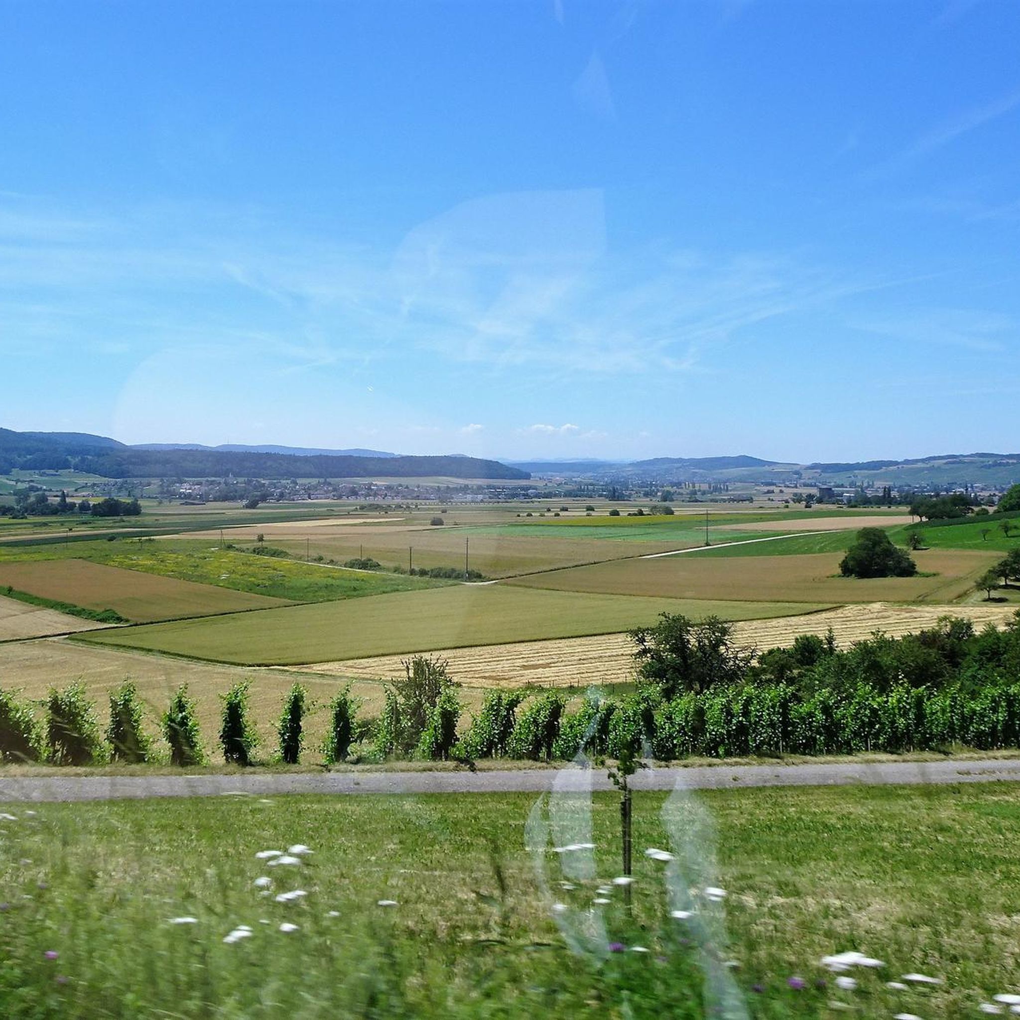
Hiking around Siblingen
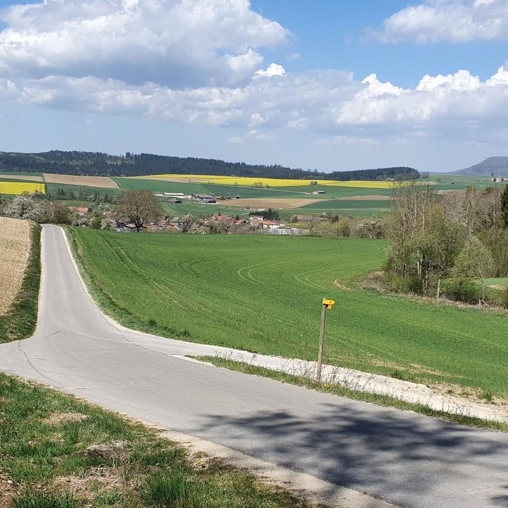
Hiking around Beggingen
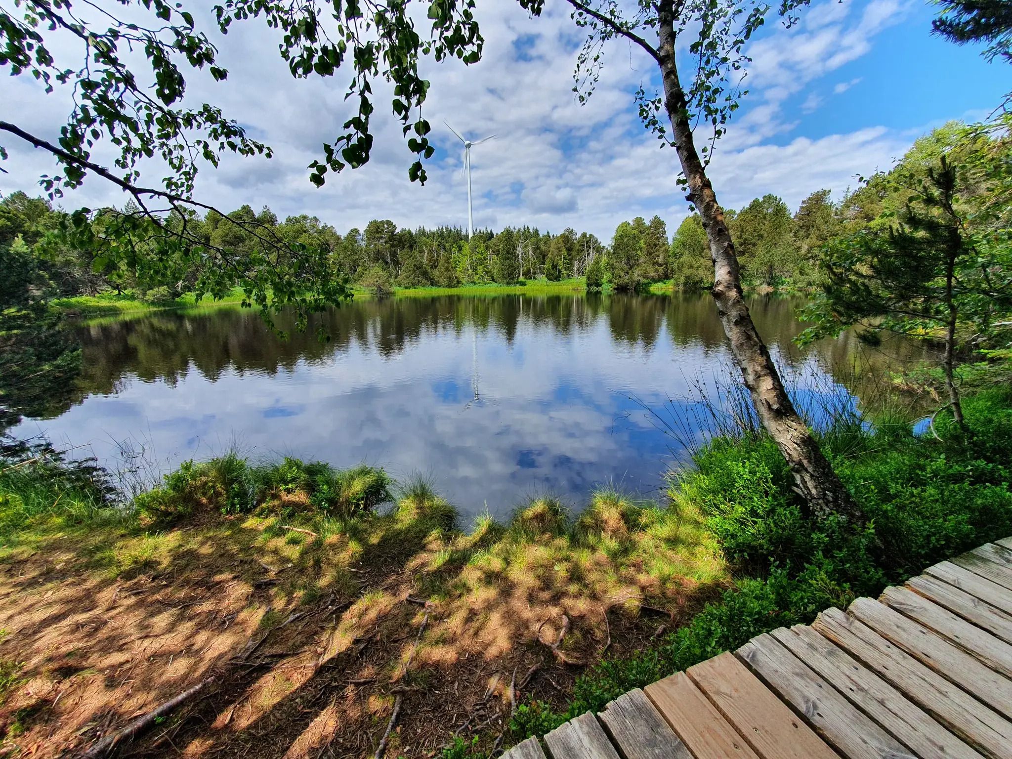
Hike the WasserWeltenSteig – Waterfalls, lakes and rivers of the Black Forest
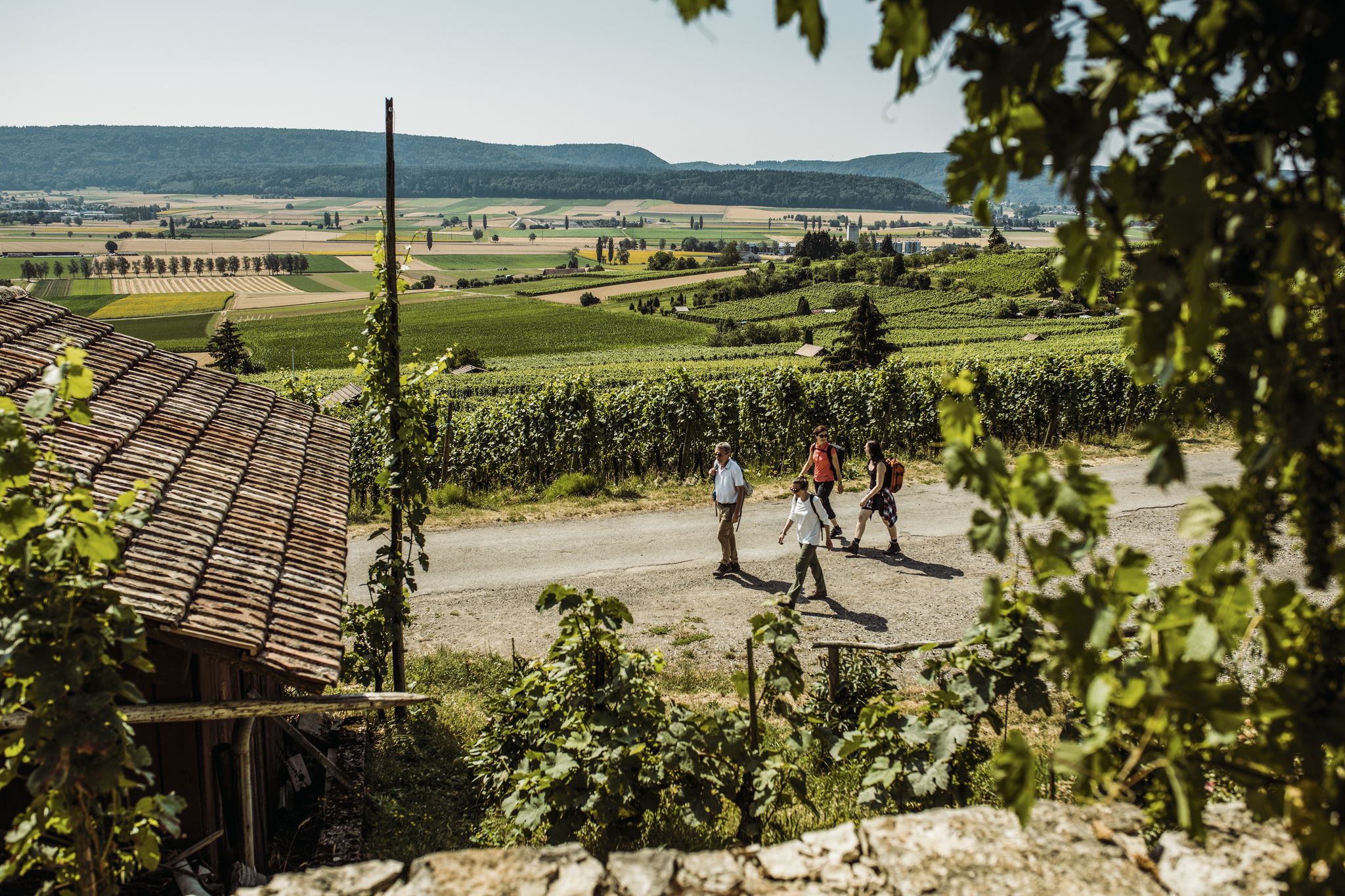
Woodland, water and far-reaching views – start of season hiking hits
Klettgau-Rhein-Weg – hiking at the feet of the Alps
Rhine, hills and vines – autumn hiking tips in Schaffhauserland
Wandern zwischen Rhein und Reben – Frühling im Schaffhauserland
Cycling around Schleitheim

Gravel biking around Schleitheim
MTB Trails around Schleitheim
Other adventures around Schleitheim


Tips from the Community

Very good restaurant with a great view from the terrace. It is a (slightly upscale) "Gilde" restaurant with very good quality. Unfortunately, many uploaded photos are completely wrong and inappropriate.
1
0

Pretty here, very pretty Pretty here, very pretty
3
0

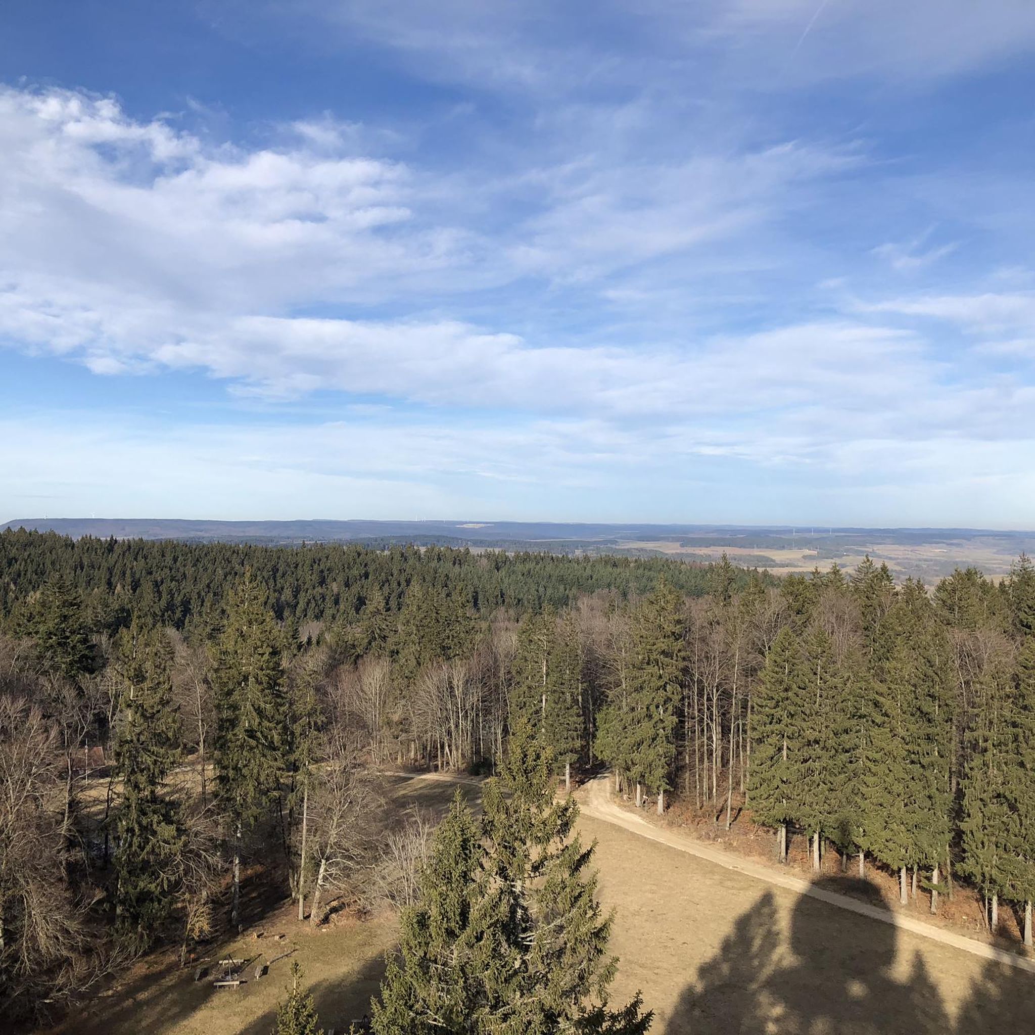
From the 20-meter-high viewing platform, there is a wide view over the Klettgau, the Black Forest and as far as the Alps.
3
0
Frequently Asked Questions
How many hiking trails are available around Schleitheim?
Schleitheim offers a wide network of over 90 hiking trails, catering to various skill levels. You'll find everything from comfortable strolls to more challenging treks through the Randen hills.
Are there easy hiking routes suitable for beginners in Schleitheim?
Yes, Schleitheim has plenty of options for beginners and those looking for a relaxed walk. There are over 30 easy routes, many of which are comfortable circular hikes that traverse forest edges and valleys, perfect for a gentle introduction to the region's beauty.
Are there family-friendly hiking options in Schleitheim?
Absolutely. Many trails in Schleitheim are suitable for families, offering varied nature and opportunities for outings. Some routes even feature barbecue spots, making them ideal for a day out with children. Look for the easier, shorter circular routes for the best family experience.
Can I find circular hiking trails around Schleitheim?
Yes, circular routes are a popular feature of hiking in Schleitheim. You can enjoy comfortable circular hikes that take you through diverse landscapes, such as between Schleitheim and the neighboring village of Beggingen, or the varied Wagnerhaus – Tüüfelschuchi Gorge loop from Schleitheim.
What are some notable viewpoints or landmarks to see on a hike?
The region is known for its panoramic vistas. A key landmark is the Schleitheimer Randenturm Observation Tower, which offers expansive views across the Black Forest, Lake Constance, and even to the Swiss Alps. Many trails in the Randen hills lead to elevated spots with stunning outlooks, such as the View of the Klettgau Valley – Siblinger Randen Tower loop from Siblingen.
Are there any trails that feature natural monuments or unique natural elements?
Yes, Schleitheim's trails showcase unique natural features. You can explore wetland habitats along paths like the Bohnerzspur, or discover the renaturalized Wutach River. The Tree Growing Through Rock – Ländli Hut loop from Schleitheim highlights the fascinating Tree Growing Through Rock natural monument.
What do other hikers enjoy most about hiking in Schleitheim?
The area is highly rated by the komoot community, with an average score of 4.5 stars from over 1600 reviews. Hikers often praise the diverse landscapes, from dense woodlands and the serene Wutach river to the elevated viewpoints of the Randen hills, and the well-maintained trail network suitable for various abilities.
Are there any historical sites or cultural attractions accessible from the trails?
Beyond natural beauty, Schleitheim offers historical insights. The Anabaptist Trail leads through the Randen, connecting nature with historical narratives. After a hike, you can visit the Museum Schleitheimertal in Schleitheim to learn about local geology, village history, and the Anabaptists.
What is the best season for hiking in Schleitheim?
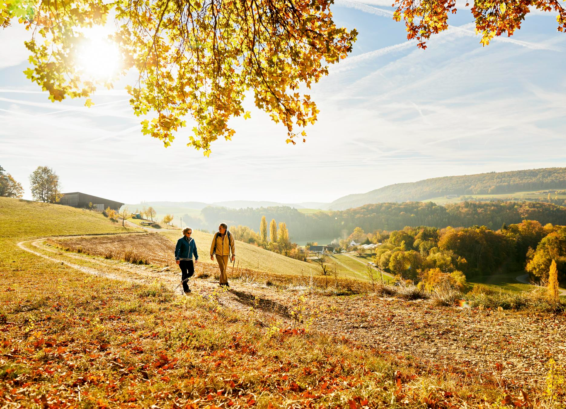
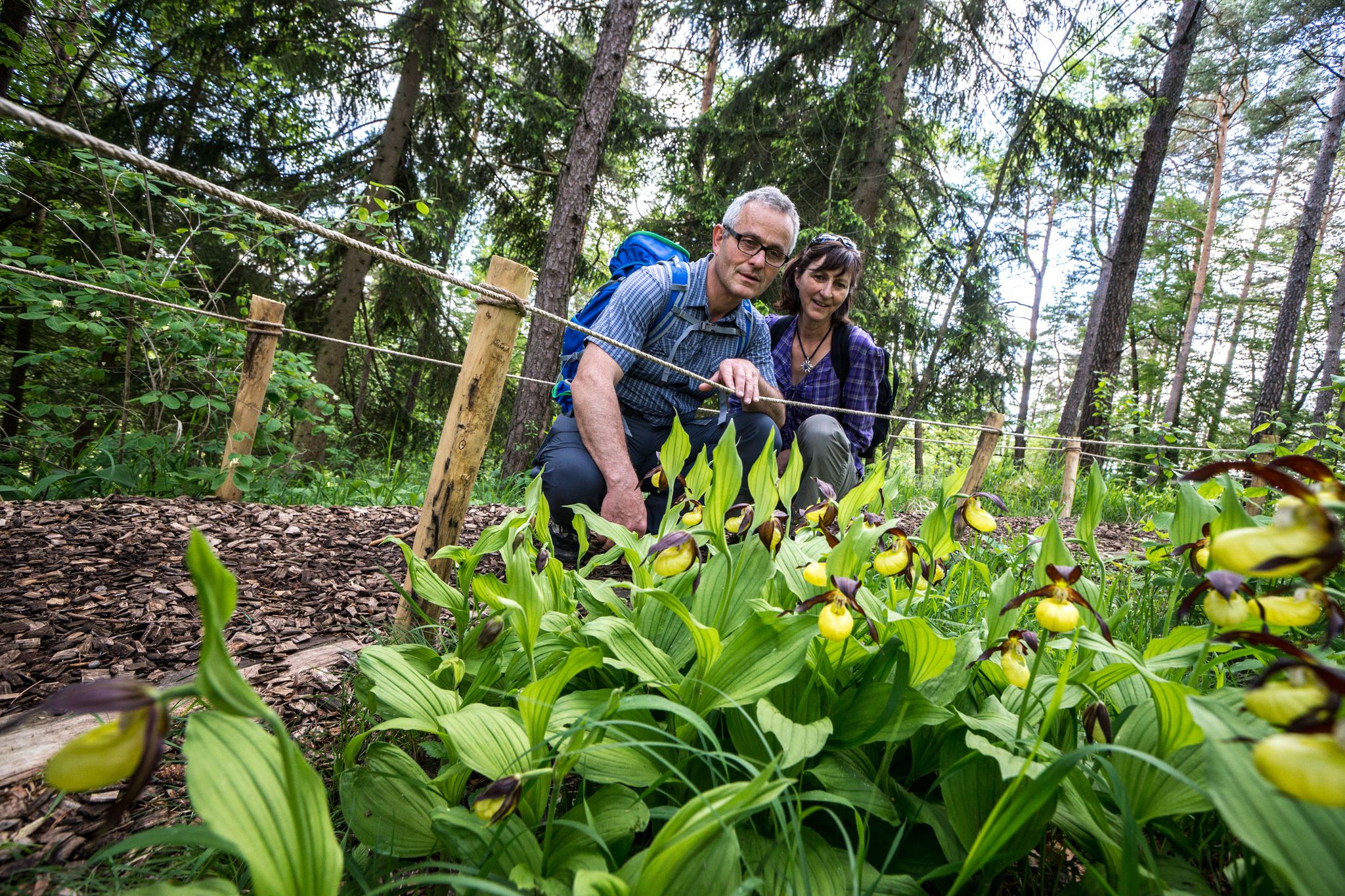
Schleitheim is beautiful year-round, but spring is particularly enchanting when thousands of spring snowflakes bloom in the forested areas. Autumn also offers stunning colors. The renaturalized Wutach river provides a serene natural element to enjoy throughout the year.
Are there places to eat or rest along the hiking routes?
Yes, you can find places to rest and refuel. The Schlossranden Forest Inn – Siblinger Randen House loop from Siblingen passes by the Schlossranden Forest Inn, offering a convenient stop. Additionally, some family-friendly routes include barbecue spots for picnics.
How long do hikes around Schleitheim typically take?
Hike durations vary significantly depending on the route and your pace. Shorter, moderate trails like the Wagnerhaus – Tüüfelschuchi Gorge loop from Schleitheim (6.2 km) can take around 2-3 hours. Longer, more difficult routes such as the Randen Weg (16.7 km) might require over 5 hours to complete.
Most popular routes around Schleitheim
Most popular attractions around Schleitheim

Get inspired with the komoot mobile app


Didn’t find what you were looking for?
Check out more Hikes throughout Schleitheim below and find the perfect route in your destination.
Explore more
Browse the best Hikes in other regions.
