The best road cycling routes around Schleifreisen
4.5
(261)
3,846
riders
103
rides
Road cycling routes around Schleifreisen traverse a high plateau in Thuringia, Germany, situated approximately 330-335 meters above sea level. The region features varied terrain, including extensive agricultural areas to the south and the scenic Zeitzgrund and Teufelstal valleys to the west and north. These valleys are characterized by winding roads and natural features, offering diverse cycling experiences.
Best road cycling routes around Schleifreisen
- The most popular road cycling route is Elster Bridge, Gera – Otto Dix Birthplace loop from Hermsdorf-Klosterlausnitz…
Last updated: October 2, 2026
5.0
(2)
138
riders
42.6km
01:52
310m
310m
Moderate road ride. Good fitness required. Some segments of this route may be unpaved and difficult to ride.
5.0
(4)
117
riders
Moderate road ride. Good fitness required. Some segments of this route may be unpaved and difficult to ride.

4.3
(32)
402
riders
Moderate road ride. Good fitness required. Some segments of this route may be unpaved and difficult to ride.
5.0
(1)
60
riders
46.3km
02:21
480m
480m
Moderate road ride. Good fitness required. Mostly well-paved surfaces and easy to ride.
4.0
(2)
43
riders
Moderate road ride. Good fitness required. Some segments of this route may be unpaved and difficult to ride.
Get access to more routes and recommendations from other explorers.
Already have an account?
Our route recommendations are based on thousands of hikes, rides, and runs completed by other people on komoot.
Start today with a free account
Your next adventure awaits.
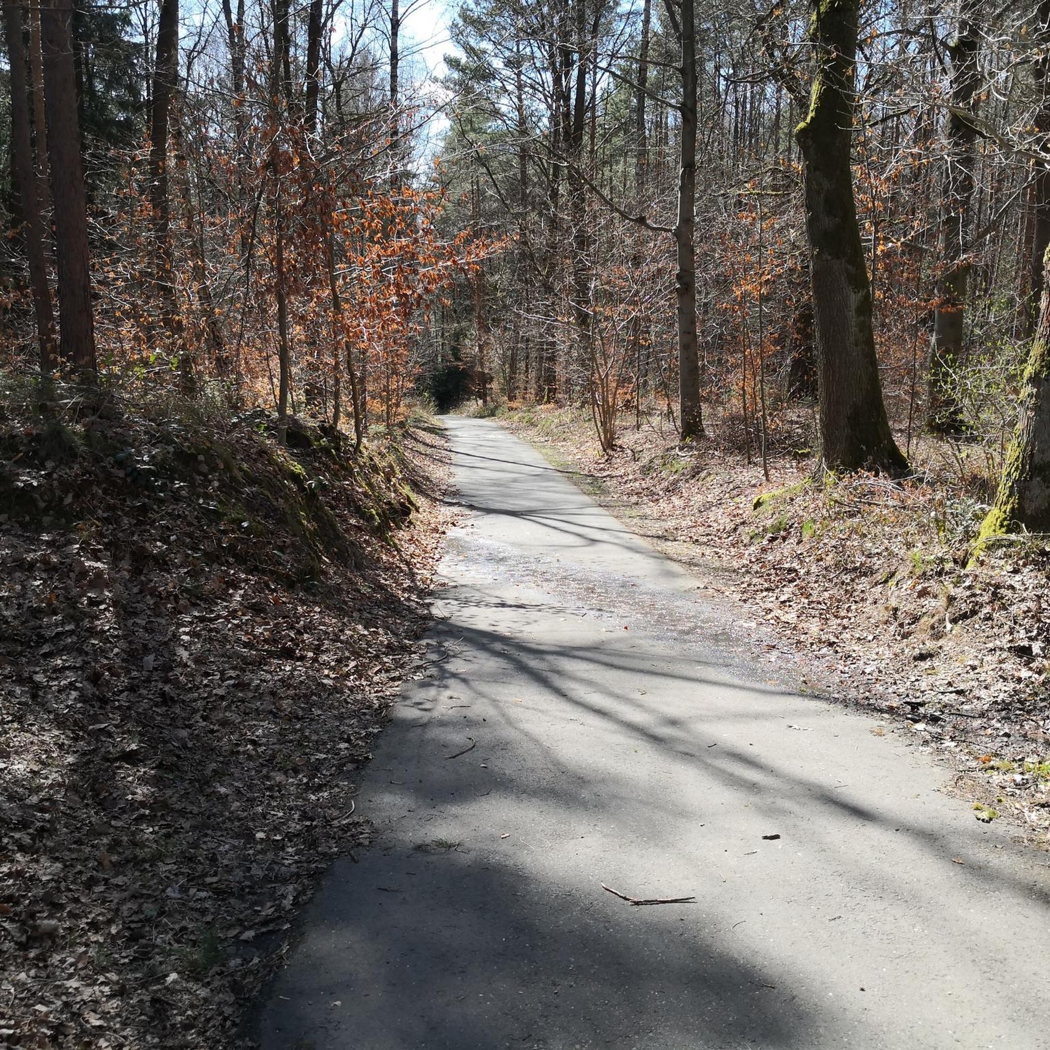
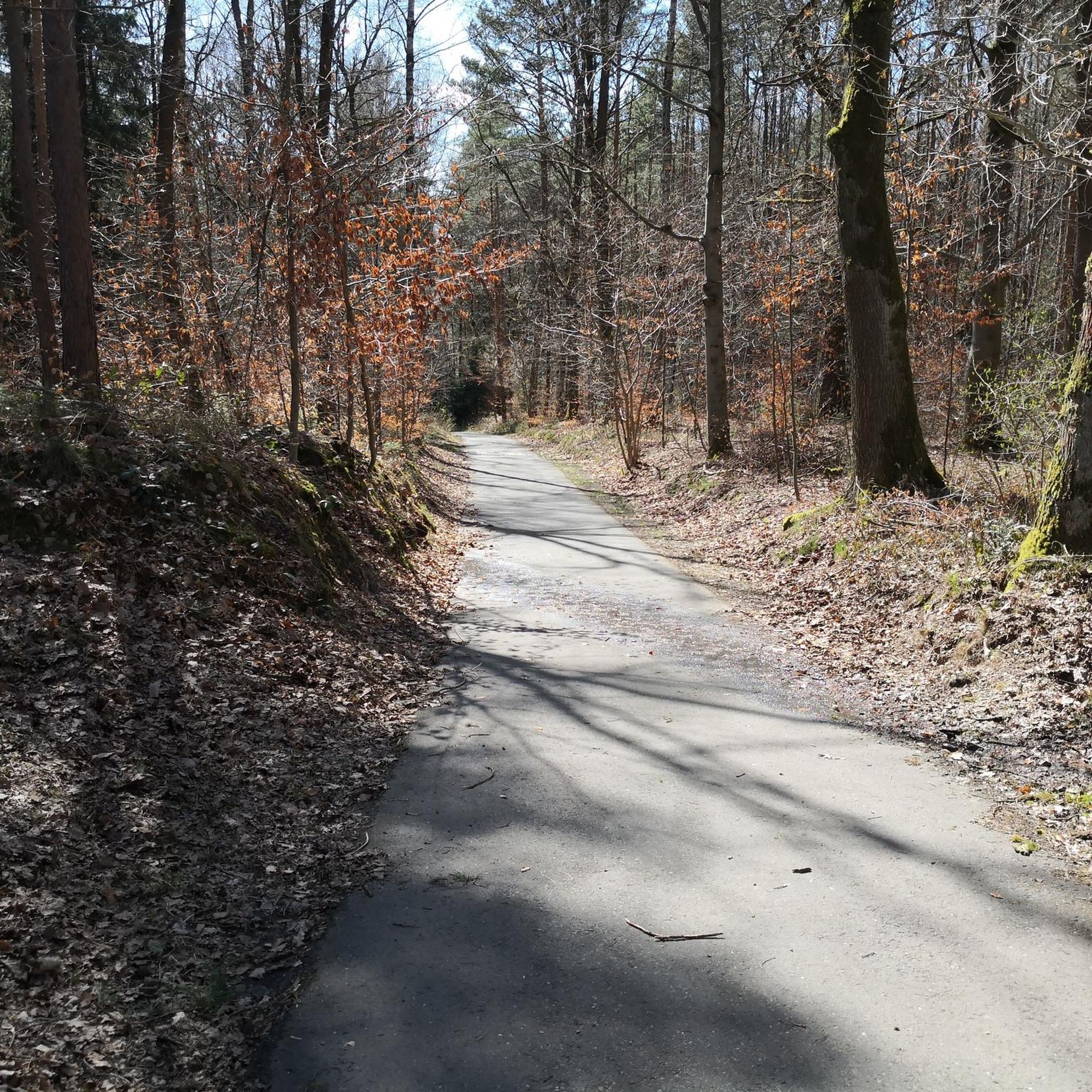
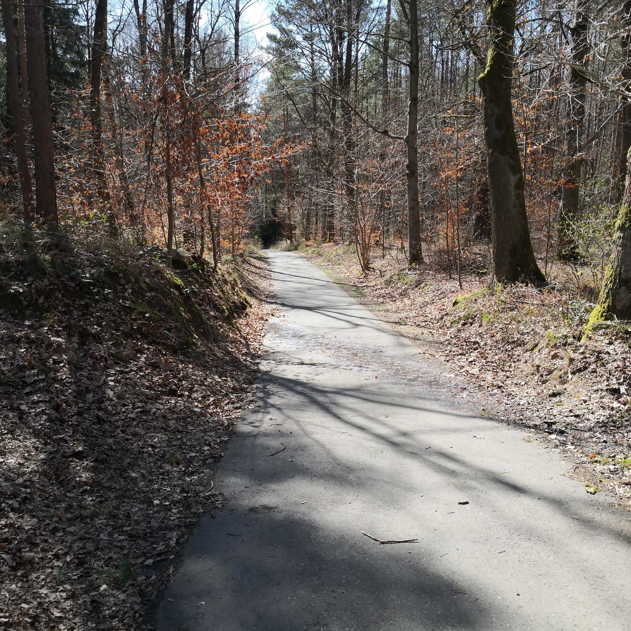
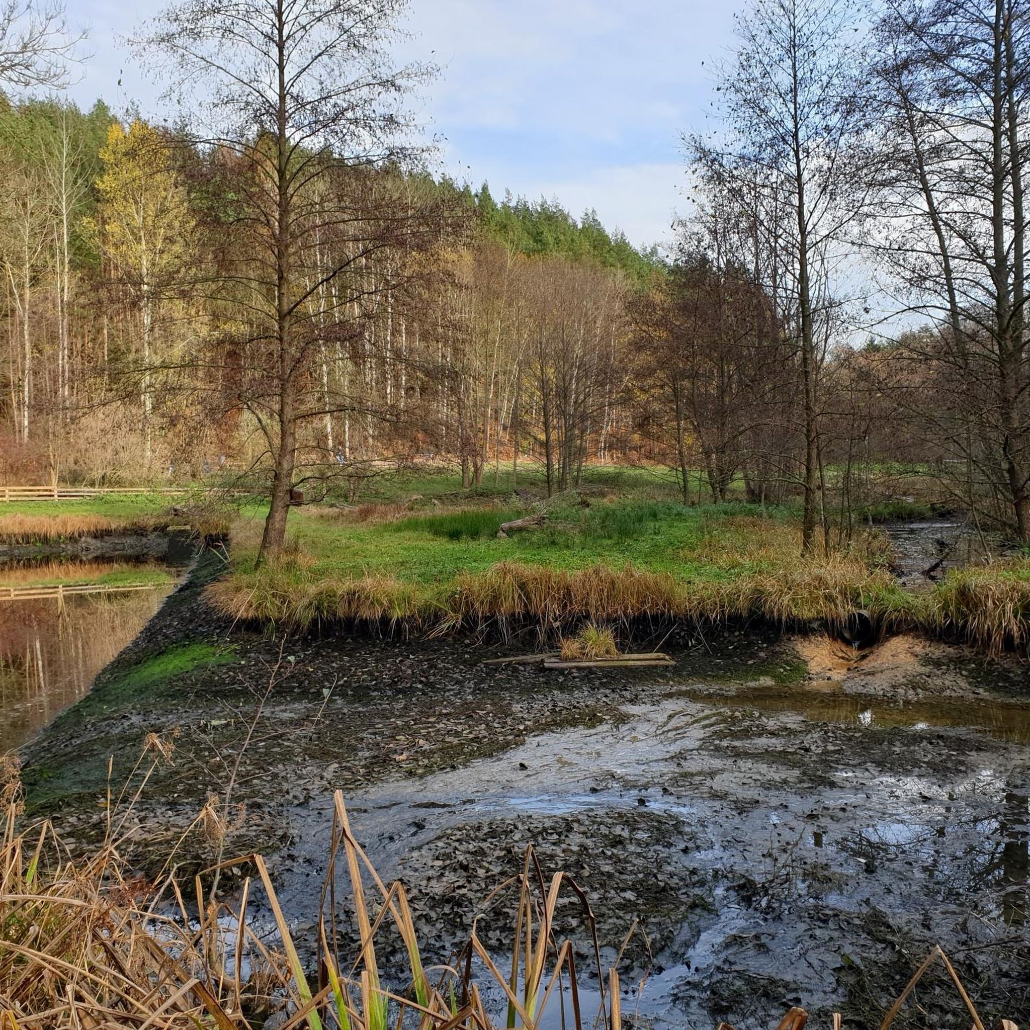

Tips from the Community

Quiet cycle path on and along the former railway line. Particularly appealing for anyone who wants to explore old railway tracks by bike today. 🚲🚂
0
0
Beautiful bridge over the Saale with views of the river and the surrounding landscape. An interesting point on the bike tour through the Saaletal. 🌉🚴
0
0

A single-nave church, its core dating from the 13th century with several alterations and extensions. It features a slate-covered western roof tower with a lantern. Inside is a pulpit altar.
0
0
A single-nave church dating from 1820. It features a western roof turret with a curved spire and lantern. Inside, there is a Baroque pulpit altar from the previous church.
0
0

Be careful, this place is deserted. It's a testament to real tourism in the past...
0
0


This wooden sculpture by Frank Langmann is part of the sculpture trail.
15
0

The fountain is out of service, which is a shame because otherwise it would be a perfect place to stop.
0
0
Frequently Asked Questions
What kind of terrain can I expect when road cycling around Schleifreisen?
The Schleifreisen region offers a varied landscape for road cyclists. You'll find routes traversing a high plateau, extensive agricultural areas to the south, and scenic valleys like the Zeitzgrund and Teufelstal to the west and north. These valleys often feature winding roads and picturesque settings, while the plateau provides broader vistas.
How many road cycling routes are available in the Schleifreisen area?
There are over 115 road cycling routes available around Schleifreisen, catering to various skill levels. This includes 18 easy routes, 77 moderate routes, and 20 more challenging options.
Are there routes suitable for beginners or those looking for an easier ride?
Yes, Schleifreisen offers 18 easy road cycling routes. An example of a more gentle ride is the Village Church of Tröbnitz – Stadtroda Castle loop from Hermsdorf-Klosterlausnitz, which is 24.1 miles (38.9 km) long and leads through gentle landscapes.
What are some notable landmarks or natural features I might see on a road cycling tour?
Road cycling routes around Schleifreisen offer views of several interesting features. You might encounter historical sites like the impressive Teufelstalbrücke (Devil's Valley Bridge) in the Teufelstal valley, or historical mills such as the Bock- and Ziegenmühle in the Zeitzgrund. For specific viewpoints, consider routes that pass near View from Tümmelsberg or Nesselkoppe on Heeresstraße.
Are there any castles or historical sites accessible by road bike?
Yes, the region features several historical sites. You could cycle past the Große Rabsburg Medieval Castle Ruins or the Former Moated Castle of Schlöben. Some routes also offer views of Tautenburg Castle.
What do other cyclists say about road cycling in Schleifreisen?
The road cycling routes in Schleifreisen are highly regarded by the komoot community, with an average rating of 4.5 stars from over 240 reviews. Cyclists often praise the varied terrain, from high plateaus to scenic valleys, and the options available for different ability levels.
What is the best time of year for road cycling in Schleifreisen?
While specific recommendations for Schleifreisen are not detailed, Germany generally experiences pleasant cycling conditions from spring through autumn (April to October). The varied topography of Thuringia, including hills and valleys, makes it attractive during these seasons, though weather can vary.
Are there any challenging road cycling routes for experienced riders?
Yes, for experienced riders seeking a challenge, there are 20 difficult road cycling routes around Schleifreisen. These routes typically feature more significant elevation gains and longer distances.
Can I find routes that offer extensive views?
Absolutely. The high plateau around Schleifreisen and the agricultural areas to its south provide open roads with broader vistas. Routes like the SaaleRadWanderweg – Kunitz House Bridge loop from Hermsdorf-Klosterlausnitz offer extensive views across landscapes and through the region's valleys.
What is the typical elevation gain on road cycling routes in this area?
The elevation gain varies significantly depending on the route's difficulty and length. For example, a moderate route like the Elster Bridge, Gera – Otto Dix Birthplace loop from Hermsdorf-Klosterlausnitz features an elevation gain of over 300 meters, while other routes can have up to 570 meters of ascent.
Are there any specific regulations or permits needed for cycling in the Schleifreisen area?
Generally, no special permits are required for road cycling on public roads and designated cycling paths in Germany. However, it's always advisable to respect local traffic laws and any signage regarding protected natural areas, such as the FFH-Gebiet (Flora-Fauna-Habitat area) in Zeitzgrund and Teufelstal.
Where can I find parking for my car if I want to start a road cycling tour?
While specific parking locations are not detailed, many road cycling routes in Germany, especially those starting from towns or popular trailheads, typically have designated parking areas. It's recommended to check the starting point of your chosen route on komoot for specific parking information.
Most popular routes around Schleifreisen
Most popular attractions around Schleifreisen

Get inspired with the komoot mobile app


Explore more
Browse the best Road cycling routes in other regions.
