The best walks and hikes around Pastena
4.4
(27)
120
hikers
11
hikes
Hiking around Pastena offers access to a diverse landscape characterized by hills, valleys, and natural park areas. The region features varied terrain, including forested paths and open sections with elevation changes. Trails often lead through areas with historical or natural points of interest. The network of routes provides opportunities to explore the local environment on foot.
Best hiking trails around Pastena
- The most popular hiking route is From Campodimele to Monte Faggeto – Parco Regionale dei Monti Aurunci, a…
Last updated: May 11, 2026
3.4
(5)
14
hikers
8.72km
03:51
670m
670m
Moderate hike. Good fitness required. Mostly accessible paths. Sure-footedness required.
4.6
(5)
24
hikers
Easy hike. Great for any fitness level. Easily-accessible paths. Suitable for all skill levels.

Sign up for free
3.8
(6)
21
hikers
Moderate hike. Good fitness required. Easily-accessible paths. Suitable for all skill levels.
3.5
(2)
11
hikers
12.2km
04:52
730m
730m
Moderate hike. Good fitness required. Mostly accessible paths. Sure-footedness required.
5.0
(3)
13
hikers
11.9km
03:51
510m
510m
Moderate hike. Good fitness required. Mostly accessible paths. Sure-footedness required.
Get access to more routes and recommendations from other explorers.
Sign up for free
Already have an account?
Our route recommendations are based on thousands of hikes, rides, and runs completed by other people on komoot.
Start today with a free account
Your next adventure awaits.
Login or Signup

Tips from the Community

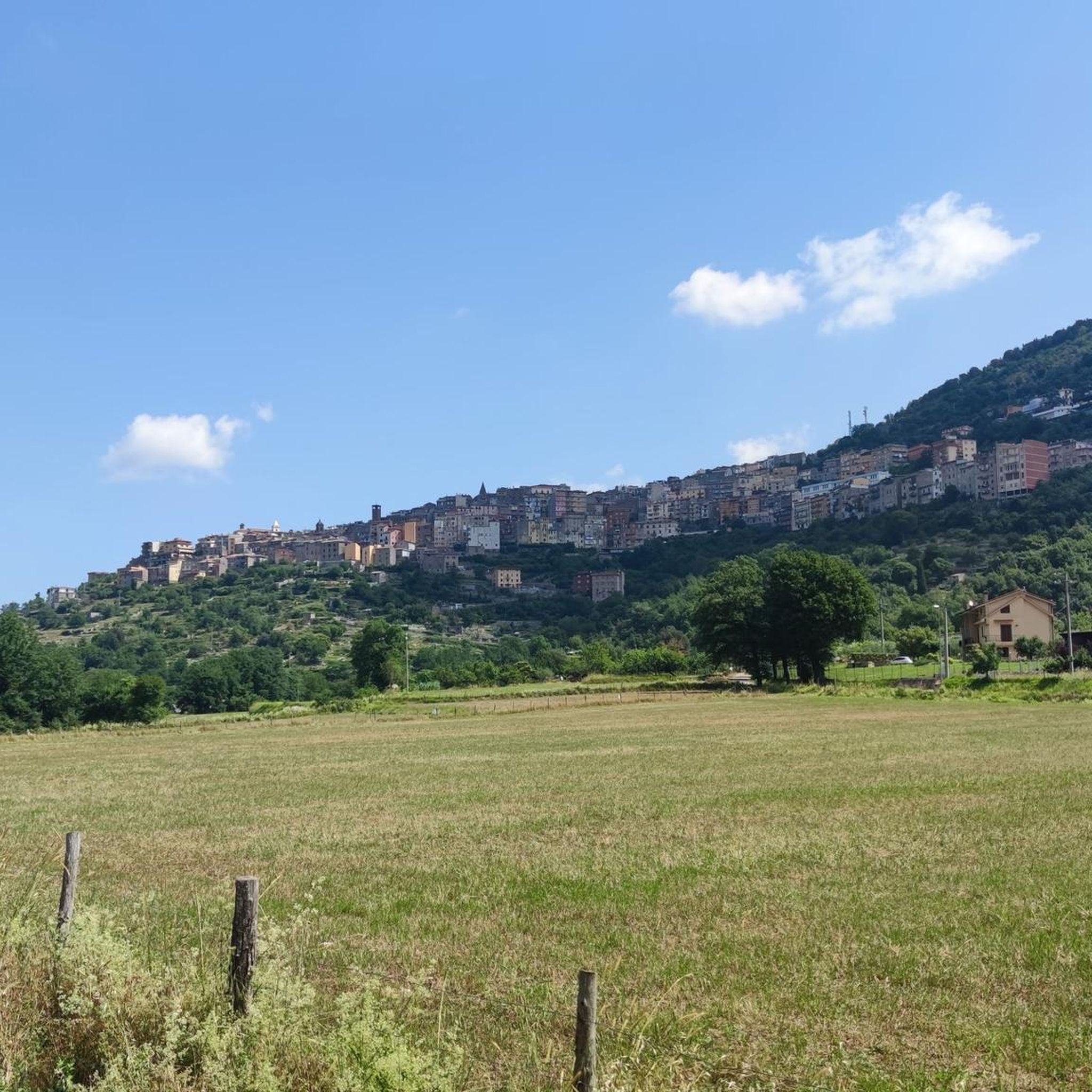
The SR637 that connects Lenola to Vallecorsa is beautiful, it is pleasant both uphill (from Lenola) and downhill (from Vallecorsa), relaxing and fun, the eyes get lost in the valley
0
0

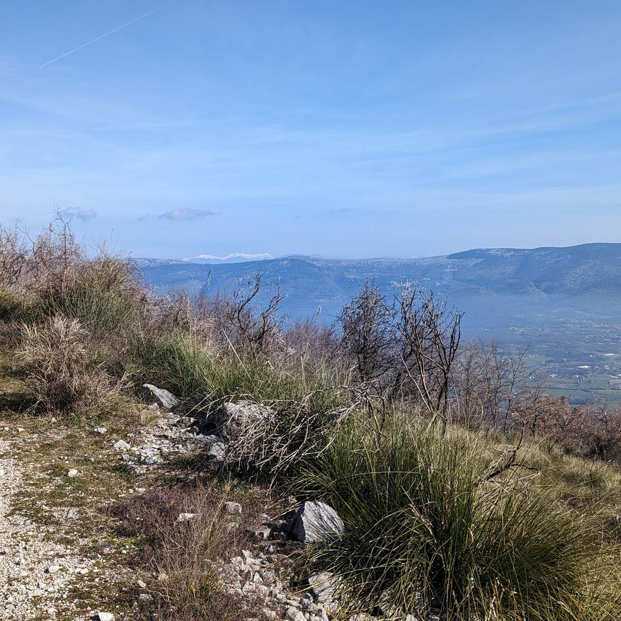
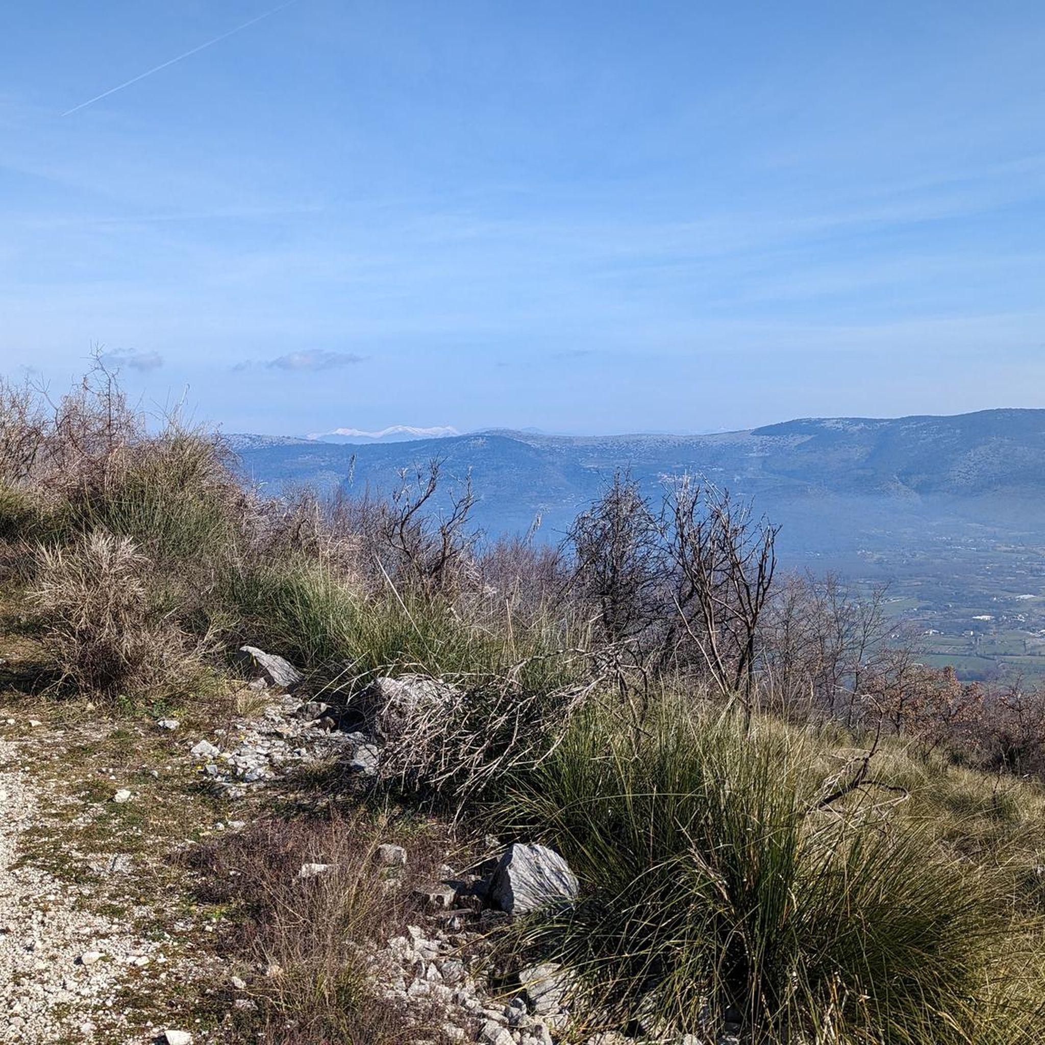
Spectacular panoramic view of the Ausoni mountains and the Circeo coast.
0
0

Monte Faggeto is located at 1259m inside the Monti Aurunci Regional Park.
1
0
The Faggeto refuge is located at 1136 meters, and was reopened in 2018.
1
0
Picnic area with BBQ and tables
1
0

Going up to the Vallecorsa pass, the climb starts 6 km before the built-up area. First you climb gently and then tackle a steeper stretch followed by a 3 km descent that leads us to overcome the Vallecorsa village. The last 5.60 km of ascent leading to the pass alternate gentle slopes with a more challenging central stretch. From the top of the pass, at 530 m asl, you can admire a beautiful panorama that is an excellent reward for the effort.
1
0

Small rock church, immersed in the heart of the wood that completely covers the mountain and the adjacent ones. The place is very isolated, therefore ideal for those who wish to relax at the end of the excursion or stop in silence to enjoy the view, explore the surroundings or observe the local fauna. Below the hermitage, directly from the rock on which it is built, gushes a spring in which, if you are lucky, you can see small newts or salamanders. Also available to hikers, just below the church, there is a panel with the history written and the plan of the building, as well as its structural characteristics. (This panel is visible in one of the photos I uploaded, unfortunately it came out blurry and I did not notice it in time, however it is still readable).
1
0
Frequently Asked Questions
How many hiking trails are available around Pastena?
There are 9 hiking routes documented on komoot for the Pastena area. These trails range from easy strolls to more challenging moderate ascents, offering diverse options for exploring the local landscape.
Are there any easy hiking trails suitable for beginners or a relaxed outing?
Yes, Pastena offers easy trails. One popular option is the Hermitage of Santa Maria Romana – Jardí Botànic de Poblet loop from Passo Le Crocette. This 3.8-mile (6.0 km) path is considered easy and provides a pleasant loop through varied scenery.
What kind of terrain can I expect on hikes around Pastena?
Hiking around Pastena is characterized by rolling hills, forested sections, and open country paths. The region features a diverse landscape with valleys and natural park areas, offering a mix of elevation changes and scenic views.
Are there any circular walking routes in Pastena?
Yes, several routes in the area are circular. For example, the Hermitage of Santa Maria Romana – Jardí Botànic de Poblet loop from Passo Le Crocette is an easy loop. Another option is the Ruderi Acquaviva loop from Acquaviva - Cima del Monte - Quercia del Monaco, which takes you through rural landscapes and past historical ruins.
What are some interesting landmarks or attractions I can see while hiking in Pastena?
The trails around Pastena often lead past points of interest. You might encounter historical sites like the Hermitage of Santa Maria Romana or natural features such as the Marco Pantani Summit. Other notable spots include La Portella and Passo San Nicola (Northern Ascent).
Are there any challenging hikes for experienced trekkers?
While there are no routes explicitly graded as 'difficult' in the immediate komoot data for Pastena, there are several moderate trails with significant elevation gain. The From Campodimele to Monte Faggeto – Parco Regionale dei Monti Aurunci route, for instance, covers 5.4 miles (8.7 km) with substantial ascent within a regional park setting, offering a good workout.
What do other hikers say about the trails in Pastena?
The hiking routes in Pastena are highly regarded by the komoot community, holding an average rating of 4.6 out of 5 stars from over 20 reviews. Hikers frequently commend the varied terrain and the opportunities to explore both natural and historical points of interest.
What is the typical duration for hikes in the Pastena area?
Hiking durations vary depending on the route and your pace. Easy trails like the Hermitage of Santa Maria Romana loop can be completed in under 2 hours, while moderate routes such as the Monte Faggeto – Rifugio Faggeto loop might take around 4-5 hours.
Are there any hikes that explore the regional park areas near Pastena?
Yes, the region offers access to natural park areas. The popular From Campodimele to Monte Faggeto – Parco Regionale dei Monti Aurunci trail is a prime example, leading you through the Monti Aurunci Regional Park.
What is the best time of year to go hiking in Pastena?
While specific seasonal data isn't provided, regions with rolling hills and forested paths like Pastena are generally pleasant for hiking in spring and autumn, when temperatures are mild and the scenery is vibrant. Summer can be warm, making early morning or late afternoon hikes preferable, while winter might offer different challenges depending on local conditions.
Are there any longer day hikes available in the area?
For a longer day out, consider routes like the Monte Faggeto – Rifugio Faggeto loop from Campodimele. This moderate trail spans approximately 7.6 miles (12.2 km) and typically takes around 4 hours and 51 minutes to complete, offering a substantial exploration of the landscape.
Most popular attractions around Pastena

Get inspired with the komoot mobile app


Explore more
Browse the best Hikes in other regions.
