The best walks and hikes around Fontechiari
4.2
(184)
814
hikers
83
hikes
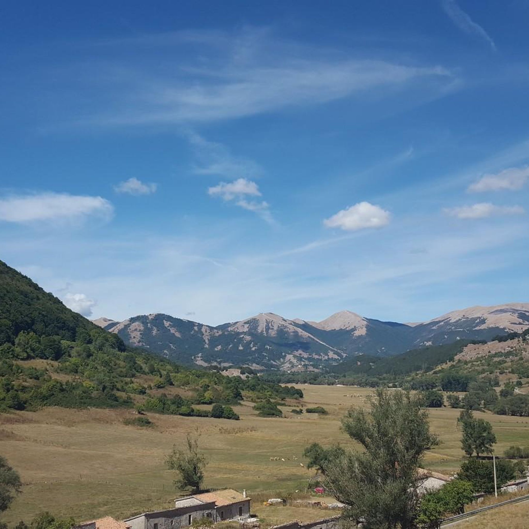
Hiking around Fontechiari offers diverse landscapes within the Comino Valley, characterized by clear springs and varied terrain. The region features mountainous and hilly areas, providing elevation changes and scenic views. Hikers can explore wooded paths and historical sites, including remnants of medieval villages. The natural environment supports a range of trails suitable for different activity levels.
Best hiking trails around Fontechiari
- The most popular hiking route is Way of St. Benedict - Stage 15, a 2.0 miles (3.3 km) trail that takes 1 hour 8 minutes to complete. This easy route combines natural beauty with historical exploration, including sites like the Acropolis of Civitavecchia.
- Another top favourite among local hikers is Sora – Castello di Sora loop from Sora, a moderate 3.4 miles (5.5 km) path. This trail leads through varied elevation, offering views of the surrounding landscape.
- Local hikers also love the Sora – Grotta delle Monache loop from Sora, a 5.1 miles (8.3 km) trail leading through wooded areas and offering valley views, often completed in about 2 hours 56 minutes.
- Hiking around Fontechiari is defined by the verdant Comino Valley, clear springs, and varied hilly terrains. The network offers options for different ability levels, from easy historical walks to more challenging ascents.
- The routes in Fontechiari are highly rated by the komoot community with an average score of 4.3 stars from over 160 reviews. More than 700 hikers have used komoot to explore Fontechiari's varied terrain.
Last updated: July 5, 2026
3.0
(2)
3
hikers
3.29km
01:08
180m
180m
Embark on an easy hike along the Way of St. Benedict - Stage 15, a route that combines historical sights with natural beauty. You will cover 2.0 miles (3.3 km) and gain 583 feet (178 metres) in about 1 hour and 8 minutes. The trail offers panoramic views of Arpino's historic center from Torrione, letting you take in the charming landscape. As you hike, you will also catch glimpses of the wild Gole del Melfa, known for its dense woods and dramatic cliffs. This stage provides a pleasant experience for most hikers, blending gentle terrain with rewarding vistas.
Planning your visit to this stage is straightforward, as it begins in the historic town of Arpino. You can generally find parking available in and around the starting point in Arpino, making access convenient. Be aware that the initial section of the trail involves a noticeable climb, so prepare for an uphill start. This route is suitable for an easy morning or afternoon outing, allowing you to enjoy the scenery without needing extensive preparation. No specific permits or fees are mentioned for this particular stage.
This segment of the Way of St. Benedict offers a unique blend of ancient history and natural splendor. The route leads you towards the impressive ancient Acropolis of Civitavecchia, providing a tangible connection to the past. Arpino itself boasts ancient Roman roots, adding another layer of historical context to your journey. The trail is notable for its accessibility and the way it weaves together cultural landmarks with the serene Italian countryside. It serves as an excellent introduction to the region's heritage and natural charm.
4.4
(5)
27
hikers
6.26km
01:57
230m
230m
Easy hike. Great for any fitness level. Easily-accessible paths. Suitable for all skill levels.

Sign up for free
5.0
(1)
8
hikers
5.96km
01:33
40m
40m
Easy hike. Great for any fitness level. Easily-accessible paths. Suitable for all skill levels.
5.0
(5)
18
hikers
5.50km
01:24
20m
20m
Easy hike. Great for any fitness level. Easily-accessible paths. Suitable for all skill levels.
4.5
(2)
4
hikers
Easy hike. Great for any fitness level. Easily-accessible paths. Suitable for all skill levels.
Get access to more routes and recommendations from other explorers.
Sign up for free
Already have an account?
Our route recommendations are based on thousands of hikes, rides, and runs completed by other people on komoot.
Start today with a free account
Your next adventure awaits.
Login or Signup


Tips from the Community

The acropolis, with its pointed arch and Cicero's tower, is located above Arpino along the path of San Benedetto
3
0

To be enjoyed throughout the route by bike
0
0

The Abbey of San Domenico in Sora, founded in 1011 and dedicated to the Mother of God and to San Domenico, stands in the places where the paternal villa of M.T. Guide. Despite subsequent restorations, the abbey has a sober façade with three doors and a beautiful central rose window. Some architectural elements, such as limestone blocks with rural motifs and a semicircular slab of Parian marble of Greek origin, testify to its rich history and historical importance. Today it is a FAI asset.
2
0

According to some, it can be placed in the middle of the Iron Age between the VIII/VII century BC. the pointed arch of the acropolis of Civitavecchia is the only survivor of its kind in the whole Mediterranean area. This is a typical shelf arch which forms a "scea" door. The whole Acropolis is beautiful, as is the view from up there.
4
0

Acropolis of Arpino, commonly called the Acropolis of Civitavecchia, is an important site for the knowledge of the megalithic architecture of southern Lazio.
2
1

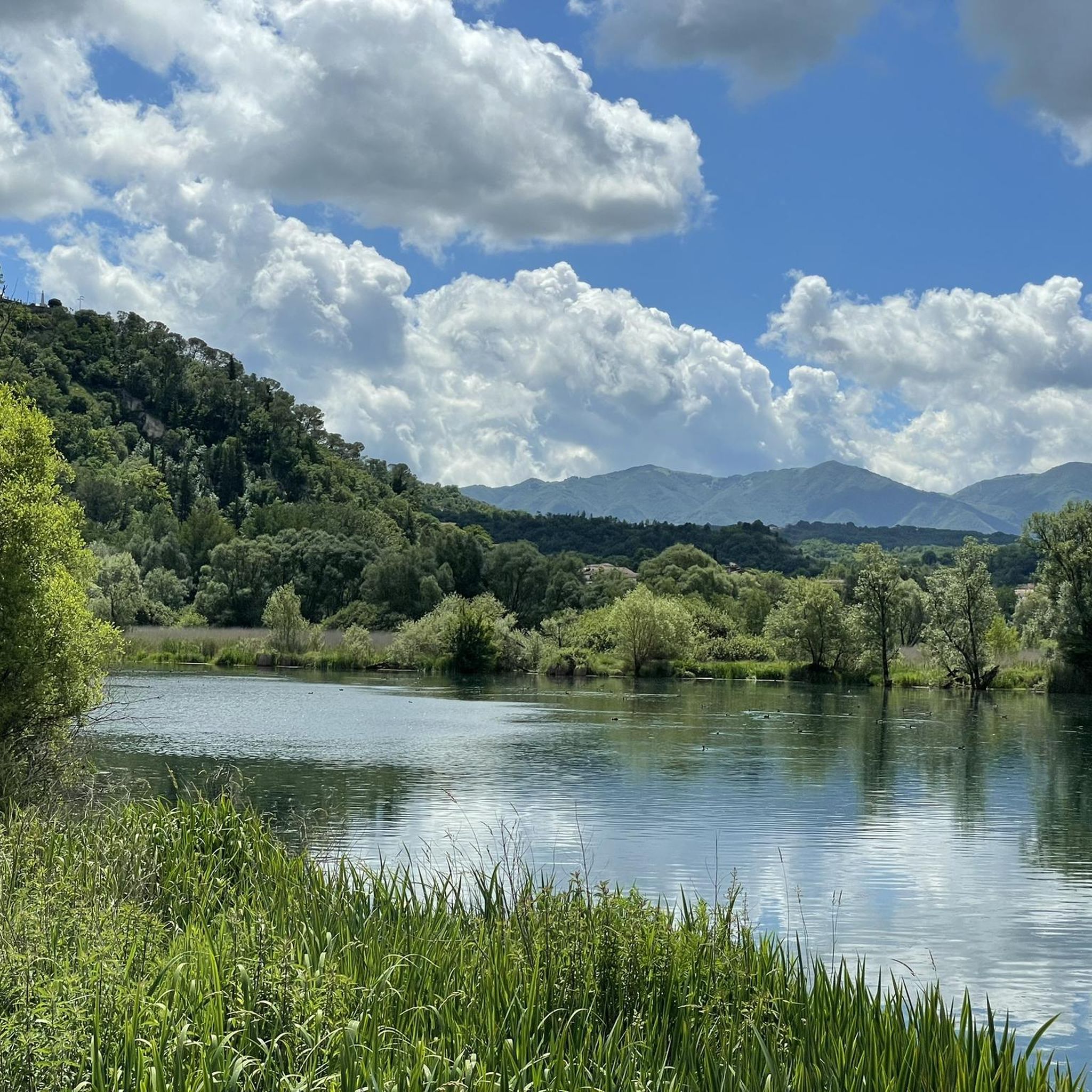
The lake of Posta Fibreno, also known as lake of the Post, is located in the Comino Valley on the border of Lazio with Abruzzo and Molise, in the middle valley of the Liri, in the center of the homonymous reserve in the province of Frosinone, the Lazio side of the National Park of Abruzzo, Lazio and Molise. Source: https://it.wikipedia.org/wiki/Lago_di_Posta_Fibreno
1
0

The lake of Posta Fibreno is part of the homonymous protected natural area and extends for 0.287 km². The lake is fed by several tributaries, but the water flows slowly. This ensures that the temperature remains around 10-11 ° C all year round. Another feature is the transparency that allows the light to reach deep.
0
0

The lake of Posta Fibreno or della Posta, a nature reserve, is one of the most beautiful, characteristic and unspoiled natural oases in all of central Italy. Included in the green Valle di Comino, this huge source of pure water, coming from the slopes of the nearby mountains of the Abruzzo National Park, gives life to the icy and clear Fibreno river. Singular peculiarities of the lake are the floating island and the ancient boat with a flat bottom. The small trout called "Carpione del Fibreno" (endemic) and the rare macrostigma trout find their natural habitat here. The lake has always been frequented by scuba divers or free diving and by birdwatching enthusiasts.
5
0
Frequently Asked Questions
What kind of terrain can I expect on hiking trails around Fontechiari?
The hiking trails around Fontechiari offer a diverse landscape within the Comino Valley. You'll find a mix of mountainous and hilly terrains, providing varied elevation and scenic views. Many paths lead through verdant valleys, past clear springs, and into wooded areas, offering shaded sections and rich biodiversity.
Are there any easy hiking routes suitable for beginners or leisurely walks?
Yes, Fontechiari offers several easy routes. For a combination of natural beauty and historical exploration, consider the Way of St. Benedict - Stage 15, an easy 2.0-mile trail that takes just over an hour. Another easy option is the Submerged Cross loop from Posta Fibreno, which is about 3.9 miles long.
Can I find challenging hikes with significant elevation gain in the area?
Absolutely. For those seeking a more demanding experience, the region provides routes with substantial elevation changes. An example is the View of Sora – Itavia Flight 703 Plane Wreck loop from Sora, a difficult 13.1-mile trail with over 1400 meters of ascent, offering panoramic views.
Are there any circular hiking routes around Fontechiari?
Yes, there are several circular routes available. The Sora – Castello di Sora loop from Sora is a moderate 3.4-mile path that offers varied elevation. Another popular option is the Sora – Grotta delle Monache loop from Sora, a 5.1-mile trail leading through wooded areas with valley views.
What historical sites or landmarks can I see while hiking near Fontechiari?
The area is rich in history. The Way of St. Benedict - Stage 15 passes by the Acropolis of Civitavecchia (Arpino). You can also explore the medieval village of Fontechiari itself, with its ancient walls and the 13th-century square tower. Other notable historical sites nearby include the Cicerone Tower and Megalithic Walls of the Acropolis of Arpino.
Are there any waterfalls or significant natural features to discover?
Yes, the region is known for its natural beauty. The Comino Valley is characterized by numerous clear springs. A prominent natural attraction nearby is the Grande Waterfall of Isola del Liri, which is a spectacular sight. You can also visit Lake Posta Fibreno, a beautiful lake in the vicinity.
What do other hikers say about the trails in Fontechiari?
The hiking routes in Fontechiari are highly regarded by the komoot community, holding an average rating of 4.3 stars from over 160 reviews. Hikers often praise the diverse landscapes, from verdant valleys to challenging mountain paths, and the opportunity to combine natural exploration with historical discovery.
Is Fontechiari accessible by public transportation for hikers?
While Fontechiari is a charming town, direct public transport links to specific trailheads can be limited. It's advisable to check local bus schedules to Fontechiari or nearby towns like Sora. For more flexibility, especially when accessing trails further afield, a car is generally recommended.
Where can I park my car when hiking in Fontechiari?
Parking is generally available within Fontechiari town itself, particularly near the central areas. For specific trailheads outside the town, parking availability can vary. It's recommended to check the starting points of individual routes on komoot for details on designated parking areas or suitable roadside spots.
What is the best time of year to go hiking in Fontechiari?
The best time to hike in Fontechiari and the Lazio region is typically during the spring (April to June) and autumn (September to October). During these seasons, the weather is pleasant, temperatures are mild, and the natural scenery is at its most vibrant, with blooming flowers in spring and rich foliage in autumn. Summer can be hot, especially in July and August, while winter can bring cooler temperatures and occasional snow at higher elevations.
Are there any family-friendly hiking options in the Comino Valley?
Yes, the Comino Valley offers several options suitable for families. The easier routes, such as the Way of St. Benedict - Stage 15, are great for families looking for a less strenuous walk with interesting historical points. The verdant valleys and clear springs provide a pleasant environment for children to explore.
Most popular attractions around Fontechiari

Get inspired with the komoot mobile app


Explore more
Browse the best Hikes in other regions.
