The best walks and hikes around Villavallelonga
4.5
(586)
2,359
hikers
15
hikes
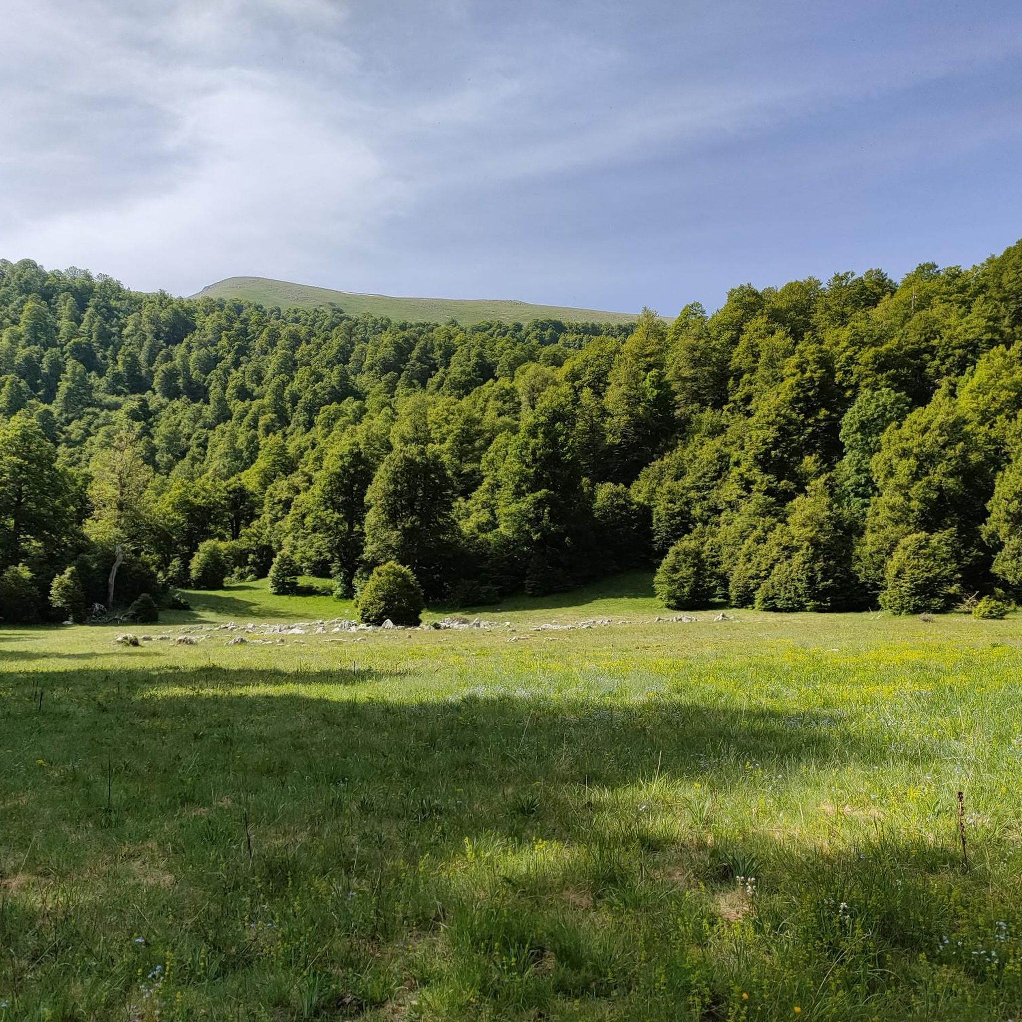
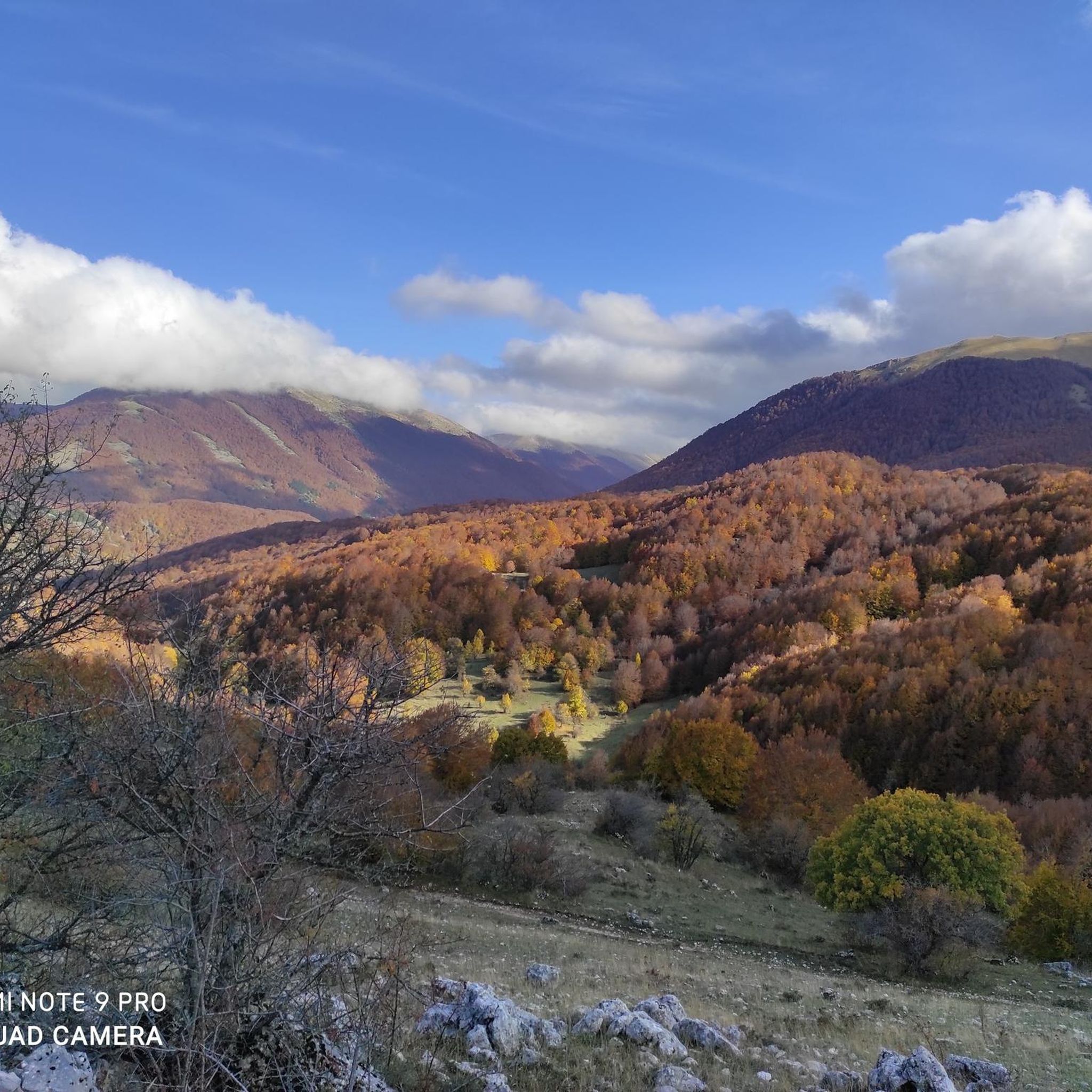
Hiking around Villavallelonga offers access to the diverse landscapes of the Abruzzo, Lazio and Molise National Park. The region is characterized by dense beech forests, including the UNESCO World Heritage Val Cervara, and the high ridges of the Marsican Apennines. Valleys open towards the Giovenco River, providing varied terrain for outdoor activities.
Best hiking trails around Villavallelonga
- The most popular hiking route is Rifugio Coppo dell'Orso – Monte Cornacchia loop from Madonna della Lanna, a 9.7 miles (15.6 km)…
Last updated: July 9, 2026
4.6
(10)
32
hikers
15.7km
06:25
1,020m
1,020m
Hard hike. Very good fitness required. Mostly accessible paths. Sure-footedness required.
5.0
(4)
18
hikers
10.6km
04:11
710m
710m
Moderate hike. Good fitness required. Mostly accessible paths. Sure-footedness required.

Sign up for free
4.5
(4)
16
hikers
9.39km
04:02
800m
800m
Moderate hike. Good fitness required. Easily-accessible paths. Suitable for all skill levels.
5.0
(1)
10
hikers
14.4km
05:41
810m
810m
Hard hike. Very good fitness required. Sure-footedness, sturdy shoes and alpine experience required.
4.0
(1)
5
hikers
12.2km
04:22
670m
680m
Moderate hike. Good fitness required. Mostly accessible paths. Sure-footedness required.
Get access to more routes and recommendations from other explorers.
Sign up for free
Already have an account?
Our route recommendations are based on thousands of hikes, rides, and runs completed by other people on komoot.
Start today with a free account
Your next adventure awaits.
Login or Signup
Tips from the Community

one of the 2000 of the Apennines
0
0

A beautiful retreat nestled in the forest. To request the keys to the Fonte Astuni Refuge, access the website and follow the contact details: https://www.parcoabruzzo.it/operator.php?id=21611
0
0

It is a very small and completely closed structure. No refreshments or water.
0
0

A great effort to get up here, but once you get there the view pays off all the efforts
0
0

Huge fountain and refuge that seems to be closed. I think you should ask the municipality of Villavallelonga if you want to use it. Benches, tables and a fire place seem to be available outside. Huge fountain and cabin wich seems to be closed. I think you should ask Villavallelonga municipality if you would like to use it. Looks like you can use benches, tables and a fireplace outside.
2
0
Frequently Asked Questions
What types of hiking trails can I find around Villavallelonga?
Villavallelonga offers a diverse range of hiking trails within the Abruzzo, Lazio and Molise National Park. You'll find paths winding through dense beech forests, including the UNESCO World Heritage Val Cervara, and ascending the high ridges of the Marsican Apennines. The terrain varies from moderate ascents to challenging mountain treks, with 8 moderate and 5 difficult routes available.
When is the best time of year to go hiking in Villavallelonga?
The best time to visit Villavallelonga for hiking is from late spring to early autumn. During these months, trails are generally open and accessible, and wildlife is more active, offering a richer outdoor experience.
Are there any challenging hikes for experienced trekkers?
Yes, Villavallelonga is home to several challenging routes. For experienced hikers, the Rifugio Coppo dell'Orso – Monte Cornacchia loop from Madonna della Lanna is a demanding 15.6 km trail with over 1,000 meters of elevation gain, requiring good fitness and sturdy footwear. Another option is the Monte Marcolano loop from Madonna della Lanna, a 14.4 km route with significant elevation changes.
What natural attractions or landmarks can I see while hiking?
The region is rich in natural beauty. You can explore the extensive beech forests, including the UNESCO-recognized Val Cervara. Hikers might also encounter the impressive Marsican Apennines ridges. Notable natural highlights nearby include Lake Posta Fibreno and the scenic Fossa Maiura trail. The area is also famously home to the Marsican brown bear, deer, chamois, and wolves.
Are there any cultural or historical points of interest near the trails?
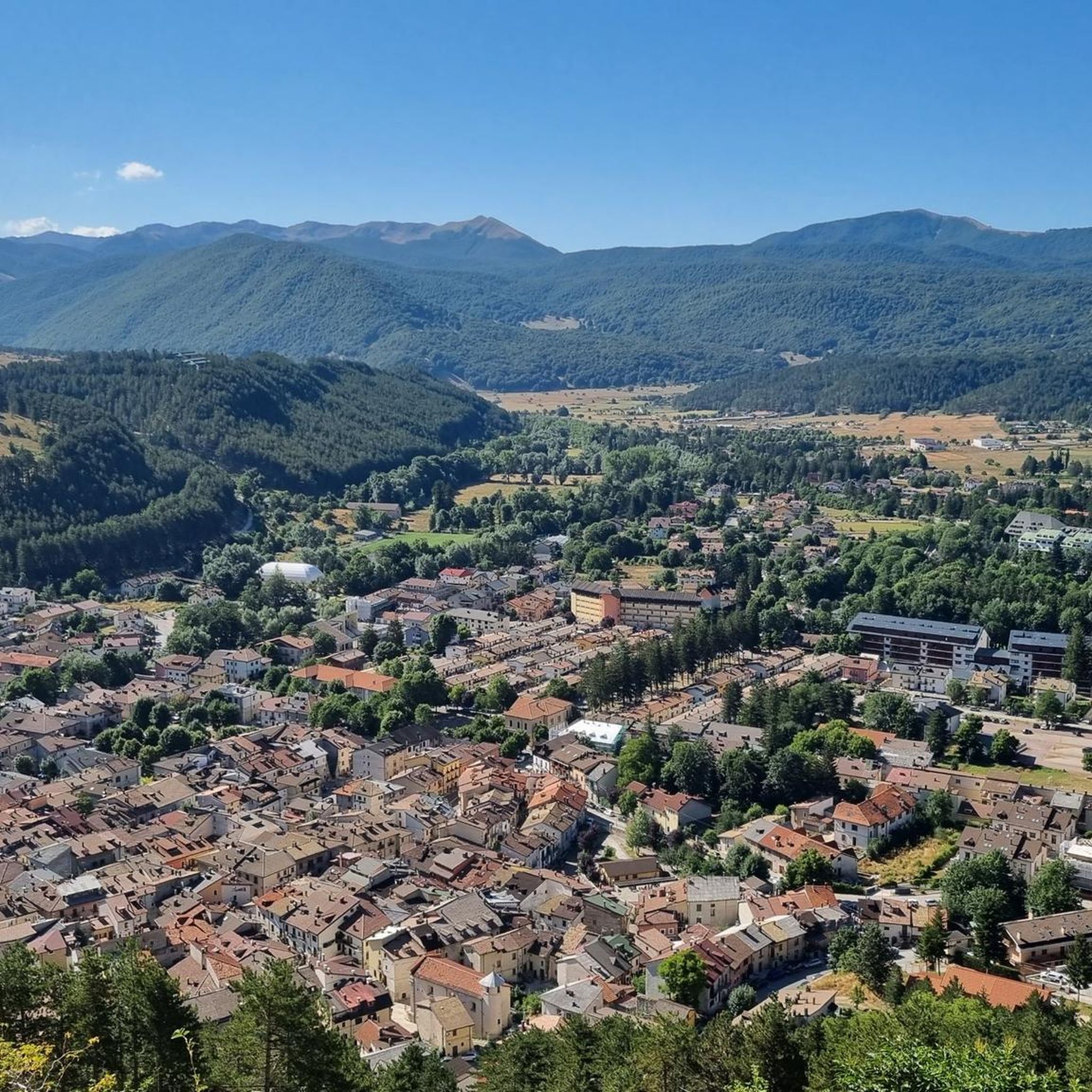
Beyond the natural landscapes, Villavallelonga offers cultural insights. The village itself preserves its traditional mountain character with stone-built houses. You can visit the Bear Museum (Museo dell'Orso) dedicated to the Marsican brown bear. Additionally, the Arteparco Totem – Accademia di Aracne and Rinascita by Megx (2024) are part of an ongoing project integrating contemporary art into the National Park's old-growth forests.
What do other hikers say about the trails in Villavallelonga?
The hiking routes in Villavallelonga are highly regarded by the komoot community, holding an average rating of 4.5 stars from over 500 reviews. Hikers often praise the pristine natural environment, the diverse landscapes ranging from dense forests to mountain ridges, and the opportunity to experience one of Italy's most significant natural parks.
Are there any circular hiking routes available?
Yes, many of the trails around Villavallelonga are designed as loops. For example, the Iorio Hut – Monte Ceraso Summit (1,820 m) loop from Fontana Aceretta is a moderate 10.6 km path that offers views of the Apennine landscape. Another circular option is the Monte Marcolano loop from Madonna della Lanna, a 9.4 km trail through forested slopes and open ridges.
Are there any huts or cafes along the hiking routes?
Yes, there are several huts and a cafe in the vicinity that can serve as resting points or places to refuel. You can find the Baita di Padre Terzi, Valle Lattara Hut, and Rifugio di Prato Rosso. For a coffee or snack, the Bar and Cross-Country Ski School Café is also available.
What is the typical duration for a hike in this area?
Hiking durations vary significantly based on the trail's length and difficulty. For instance, a moderate route like the Fonte Astuni Cabin – Rifugio Coppo dell'Orso loop from Base Scout Brownsea Park, which is 7.9 km, typically takes around 3 hours and 30 minutes. More challenging and longer routes can take upwards of 6 hours.
Are there any easy hikes suitable for beginners or families?
While Villavallelonga is known for its moderate to difficult trails, there are no routes explicitly categorized as 'easy' in the immediate area. The 8 moderate trails are generally suitable for those with a good basic fitness level. It's always recommended to check the specific route details for elevation gain and terrain before setting out with beginners or families.
Is public transport available to reach the trailheads?
Villavallelonga is nestled within a national park, and while local buses might connect to larger towns, direct public transport to specific trailheads can be limited. It is advisable to check local bus schedules or consider driving to access the various starting points for hikes.
Most popular attractions around Villavallelonga

Get inspired with the komoot mobile app


Explore more
Browse the best Hikes in other regions.
