The best MTB trails around Castellafiume
4.3
(258)
1,809
riders
130
rides
Mountain biking around Castellafiume offers a diverse landscape for riders. The region is characterized by its mountainous terrain, featuring significant elevation changes and a mix of open areas and dense woodlands. Riders can expect routes that traverse valleys and ascend towards higher elevations, providing varied challenges. The natural environment around Castellafiume supports a network of trails suitable for different mountain biking experiences.
Best mountain bike trails around Castellafiume
- The most popular mountain bike trail is Da Pesocanale verso il Valico…
Last updated: August 15, 2026
4.6
(7)
28
riders
18.3km
01:50
450m
450m
Moderate mountain bike ride. Good fitness required. Suitable for all skill levels.
5.0
(2)
19
riders
28.7km
02:52
640m
640m
Moderate mountain bike ride. Good fitness required. Advanced riding skills necessary.

Sign up for free
4.7
(7)
18
riders
22.1km
02:25
630m
630m
Moderate mountain bike ride. Good fitness required. Advanced riding skills necessary.
4.4
(5)
25
riders
54.3km
06:02
1,490m
1,490m
Hard mountain bike ride. Very good fitness required. Advanced riding skills necessary. Some portions of the route may require you to push your bike.
11
riders
29.4km
03:11
880m
880m
Hard mountain bike ride. Good fitness required. Advanced riding skills necessary. Some portions of the route may require you to push your bike.
Get access to more routes and recommendations from other explorers.
Sign up for free
Already have an account?
Our route recommendations are based on thousands of hikes, rides, and runs completed by other people on komoot.
Start today with a free account
Your next adventure awaits.
Login or Signup
Tips from the Community

Beautiful little lake nestled in the heart of the Simbruini mountains
0
0

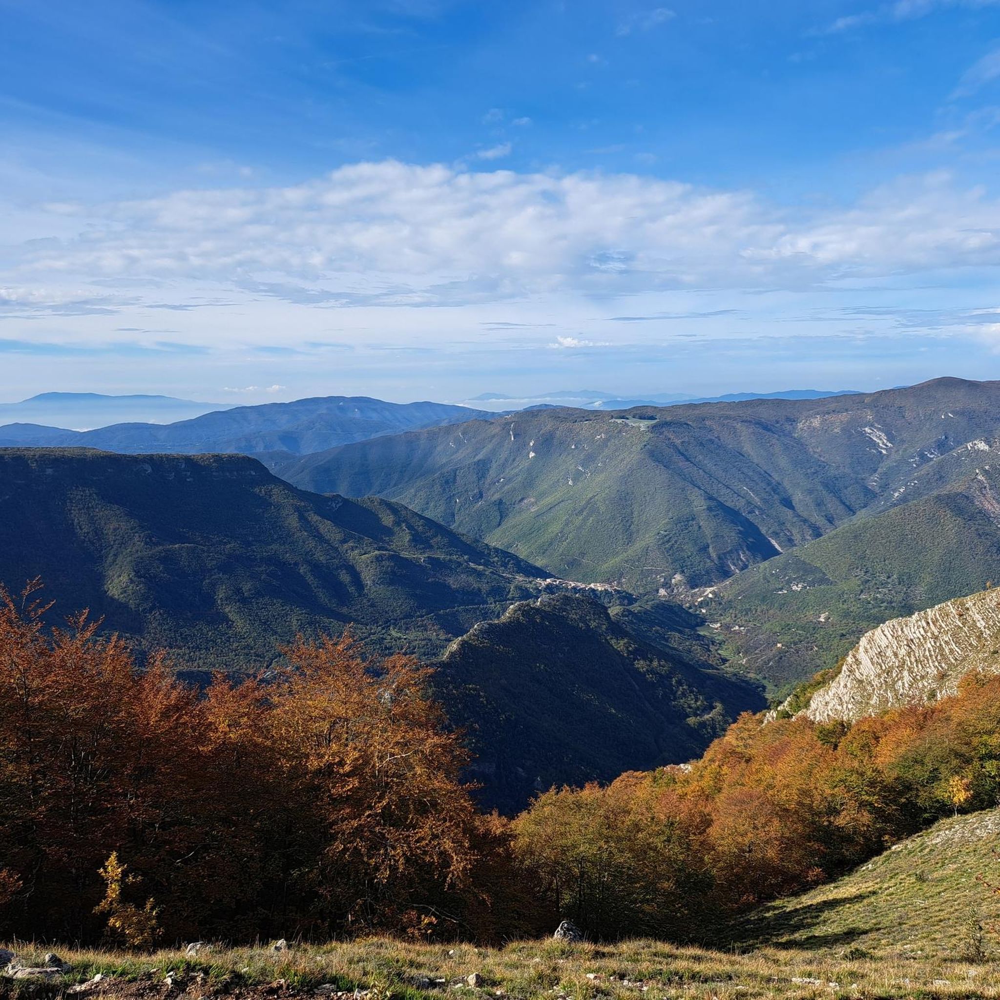
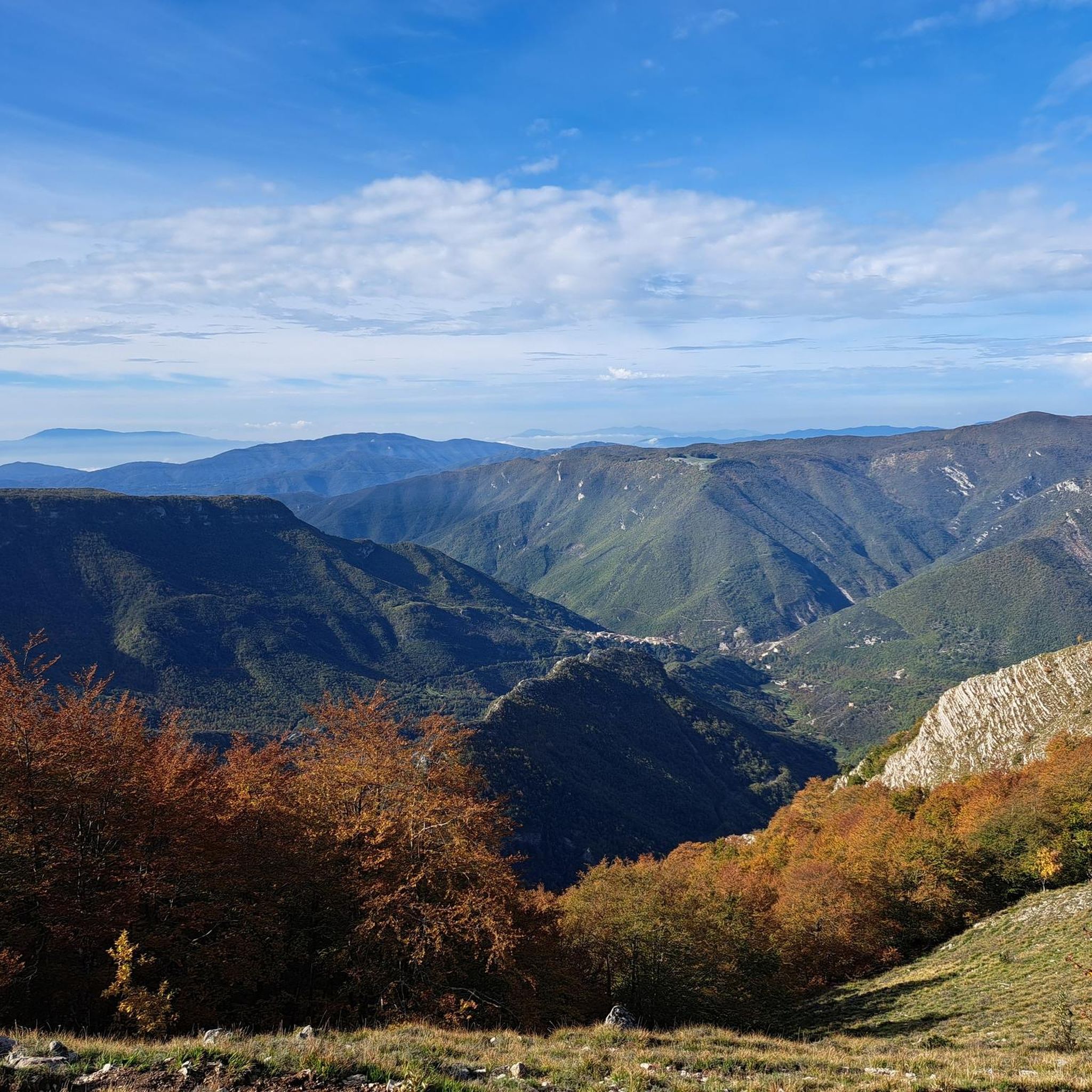
Panoramic point at about 1750 meters above sea level, important crossroads for singletrack
0
0

Historically, boundary stones date back to Roman times; they were considered sacred and governed by specific legal norms. In modern times, they were widely used starting in the 15th century to mark borders between states, with many significant examples also between the Kingdom of the Two Sicilies and the Papal States in the 19th century, when hundreds were placed along a line separating the two states. These stones are often actual stone columns with coats of arms and numbers indicating the sequence and the state to which the border belongs. This one from 1847 features the Keys of St. Peter, symbol of the Papal States, and the Bourbon Lily, symbol of the Kingdom of the Two Sicilies.
0
0

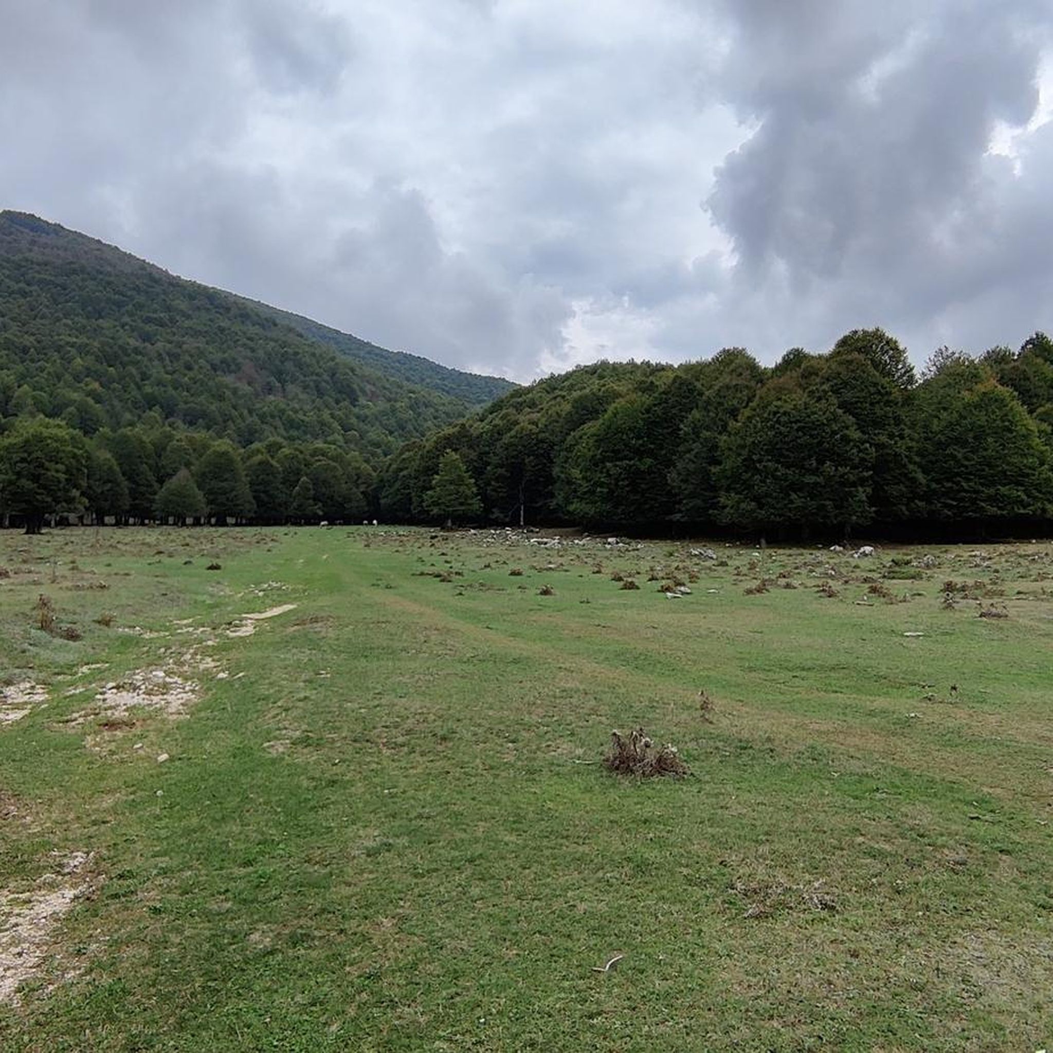
Peace, silence, views... it's all there.
0
0

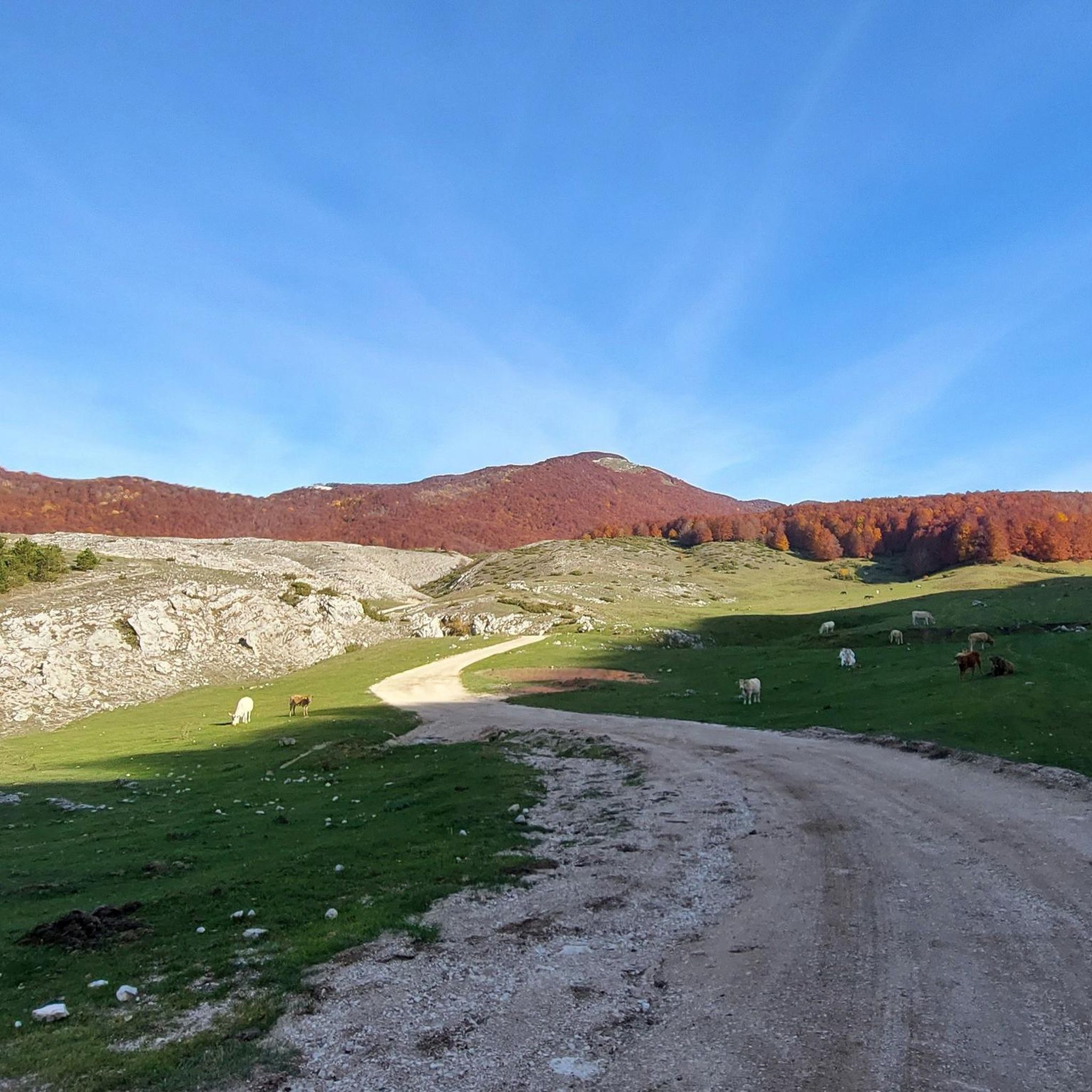
Starting from Campo dell'Osso, at an altitude of 1,750 meters, amid cool beech forests and silence broken only by the sound of tires on the ground. After a short initial stretch on a mixed trail, we immediately enter the heart of Cannavacciari, one of the most evocative trails in the Simbruini Mountains Natural Park. The trail winds steadily downhill, technical yet fluid, for 6.2 km, reaching Campo Secco at 1,340 meters. The elevation gain is significant—about 410 meters—but the varied terrain makes it fun and never boring. Fast sections alternate with tight curves, passages over roots, rocks, and some counter-slopes of up to 19%, reminding us that even on descents, you need to be strong. Every curve offers glimpses of the forest, shady sections, and the scent of pristine nature. The Cannavacciari trail has a touch of the ancient past: it's said to have been a link once used by charcoal burners and shepherds, and today it's beloved by mountain bike enthusiasts for its wild and authentic feel. The trail isn't always marked, so GPS is strongly recommended. Once you reach Campo Secco, an intense experience comes to an end, where every meter has been earned with technique and attention. A must for those who love natural, uncontrived enduro.
0
0
It is a small reservoir, or lake, located on the Campo Ceraso karst plateau, within the Monti Simbruini Regional Natural Park, in the upper Fioio Valley, between Monte Tarino and the Serra di San Michele. This area is characterized by a mountainous landscape with large beech forests, sinkholes, and swallow holes, typical of karst terrain. The area once marked the border between the Papal States and the Kingdom of Naples, and the ancient boundary stones can still be seen today. An unattended refuge is also located near the lake.
0
0
Descending through a beautiful beech forest from the SS Trinità parking lot, you reach the Cippi Papalini. Two centuries ago, they were the border between the Kingdom of the Two Sicilies and the Papal States, now Abruzzo and Lazio. We are also at the intersection of the three provinces of Rome, L'Aquila, and Frosinone.
0
0
The Simbruini Mountains plateau is a crossroads for interesting and varied trails. Cycling on this plateau, you can take advantage of its connection to a wide variety of destinations, including Livata, Campaegli, Vedute, Cervara, and Fioio. The only drawback is the lack of fountains.
0
0
Frequently Asked Questions
How many mountain bike trails are available around Castellafiume?
There are over 115 mountain bike trails documented around Castellafiume on komoot. These routes offer a wide range of experiences, from easier rides to challenging, difficult trails.
Are there easy mountain bike trails suitable for beginners in Castellafiume?
Yes, Castellafiume offers several options for beginners. There are 10 easy mountain bike routes available, providing a gentler introduction to the region's terrain. These trails typically feature less elevation gain and smoother paths.
What is the best time of year for mountain biking in Castellafiume?
The mountainous terrain around Castellafiume is generally best explored from spring through autumn. During these seasons, the weather is more stable, and trails are typically free of snow and ice, offering optimal riding conditions. Winter can bring snow, making many trails challenging or impassable for mountain biking.
Are there any circular mountain bike routes in Castellafiume?
Many of the mountain bike trails in Castellafiume are designed as loops, allowing you to start and finish at the same point. For example, the moderate route Border of the Papal State – Campo Ceraso Volubro loop from Campo Staffi is a great option, covering 27.9 km.
What kind of terrain can I expect on mountain bike trails around Castellafiume?
The region is characterized by diverse mountainous terrain, featuring significant elevation changes, open areas, and dense woodlands. You'll encounter routes that traverse valleys and ascend towards higher elevations, providing varied challenges and scenic views.
What are some challenging mountain bike routes for experienced riders?
Experienced riders will find plenty of challenging options. For instance, the difficult Da Pesocanale verso il Valico Sant'Elia - Giro ad anello sui sentieri covers 67.4 km with substantial elevation gain. Another demanding option is the Prato di Camposecco – Singletrack in the woods loop from Rifugio Pratalata, a 39.2 km difficult trail.
Are there viewpoints or scenic spots along the mountain bike trails?
Yes, the mountainous landscape of Castellafiume offers numerous scenic viewpoints. Many trails lead to or pass by significant peaks and passes, such as Monte Autore Summit and Monte Salviano Pass, providing expansive vistas of the surrounding valleys and mountains.
What do other mountain bikers say about the trails in Castellafiume?
The mountain bike trails in Castellafiume are highly rated by the komoot community, with an average score of 4.4 stars from over 230 reviews. Riders often praise the challenging mountain passes, expansive valleys, and forested sections that define the region's diverse riding experience.
Are there any historical or natural landmarks to see while mountain biking?
Yes, the region features several interesting landmarks. You can explore areas like the Border of the Papal State, which some routes traverse, or natural features like Campo Ceraso Volubro. The trails also offer access to various mountain summits and meadows.
How long do mountain bike trails typically take to complete in Castellafiume?
Trail durations vary significantly based on distance and difficulty. For example, a challenging route like Da Pesocanale verso il Valico Sant'Elia - Giro ad anello sui sentieri can take over 6 hours, while a difficult 45.2 km trail like Border of the Papal State – Campo Ceraso loop from Rifugio Pratalata might take around 4 hours 43 minutes.
Are there any moderate mountain bike trails for intermediate riders?
Yes, Castellafiume has a substantial selection of moderate trails, with 74 routes categorized as such. These trails offer a good balance of challenge and accessibility for intermediate riders. An example is the Border of the Papal State – Campo Ceraso Volubro loop from Campo Staffi, which is 27.9 km long.
Most popular attractions around Castellafiume

Get inspired with the komoot mobile app


Explore more
Browse the best MTB trails in other regions.
