The best running trails around San Biagio Saracinisco
184
runners
20
runs
Jogging around San Biagio Saracinisco offers a way to experience the landscape of this region. The area is characterized by its mountainous terrain, featuring prominent peaks and valleys, often with views of the surrounding natural parks. Running routes frequently traverse varied elevations, providing both challenging ascents and more level sections. The presence of lakes, such as Lake Castel San Vincenzo, also contributes to the diverse scenery available for runners.
Best jogging routes around San Biagio Saracinisco
- The most popular jogging…
Last updated: August 28, 2026
3
runners
13.2km
02:34
1,000m
1,000m
Jog this difficult 8.2-mile loop in Parco Nazionale d'Abruzzo, Lazio, and Molise, gaining 3297 feet with stunning views.
3
runners
4.99km
00:40
130m
130m
Jog the moderate 3.1-mile Wolves' Path - Stage 14 in Abruzzo, Lazio and Molise, visiting Basilica of Mary Most Holy and St. John Paul II Wat

Sign up for free
3
runners
Hard run. Very good fitness required. Mostly paved surfaces. Suitable for all skill levels.
1
runners
8.18km
00:54
190m
190m
Jogging the moderate 5.1-mile Valvori – Abruzzo, Lazio and Molise National Park trail offers scenic views and paved surfaces.
45
runners
Moderate run. Good fitness required. Mostly paved surfaces. Suitable for all skill levels.
Get access to more routes and recommendations from other explorers.
Sign up for free
Already have an account?
Our route recommendations are based on thousands of hikes, rides, and runs completed by other people on komoot.
Start today with a free account
Your next adventure awaits.
Login or Signup
Tips from the Community

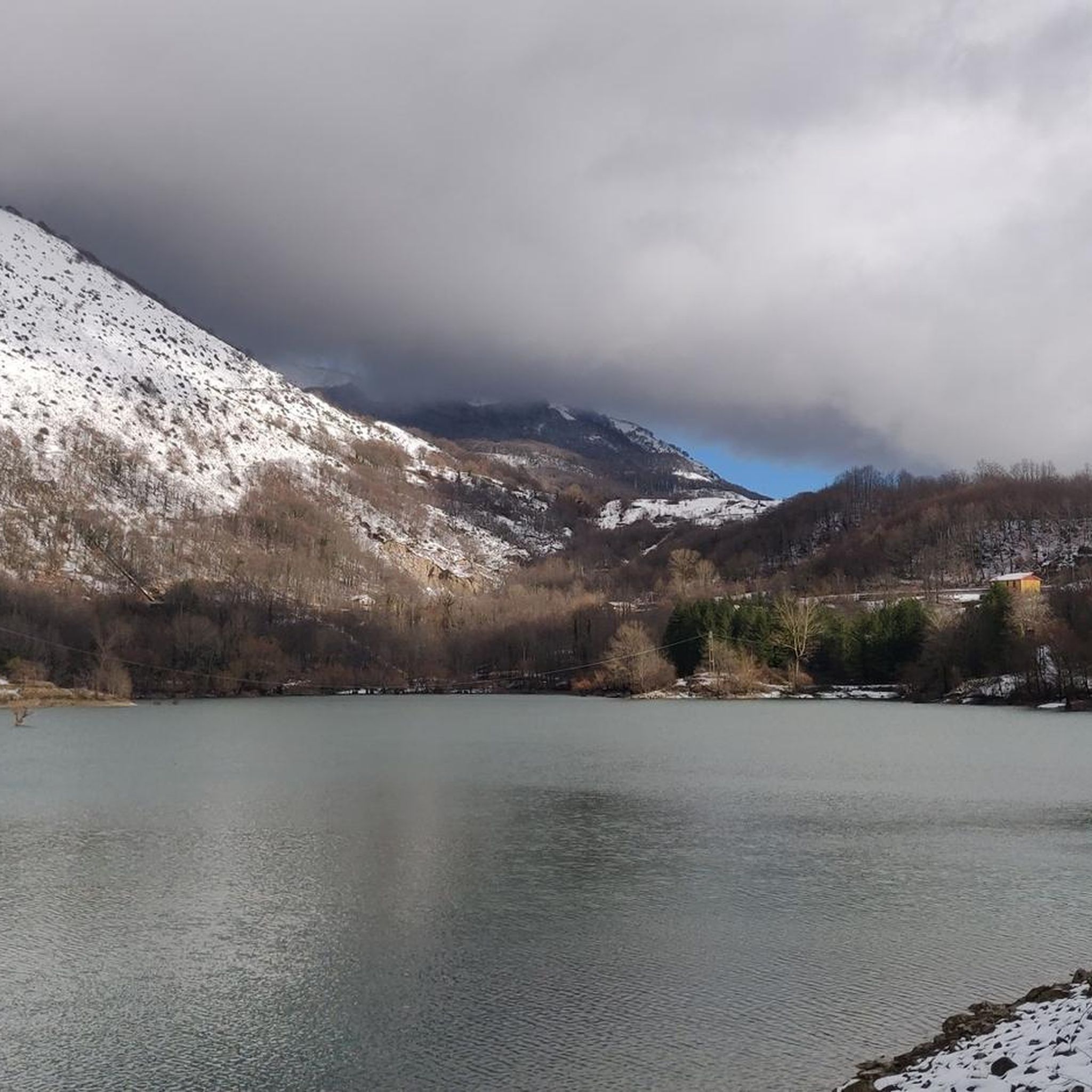
One of the best points to observe the lake of Castel San Vincenzo is from the dam. The rock face of Monte Marrone which is reflected in the turquoise waters is spectacular, on the other side the view is lost on the rest of Molise. Really impressive.
0
0
Monte Ferruccia is a mountain in Molise in the municipality of Rocchetta a Volturno and is more than 2,000 meters high. It is a very panoramic destination, because from the top you can admire the surrounding landscape that ranges from Lake Barrea to Matese. Getting there in a hurry is a demanding trail due to the type of path and the altitude difference.
1
0
The Charles Moulin hut is a small stone building located on the southern slope of Monte Marrone, built by the French painter Charles Moulin who lived here for many years in solitude and dedicated himself to his art inspired by the surrounding nature.
1
0
Monte Marrone is a mountain in the National Park of Abruzzo, Lazio and Molise. It is famous for having been the scene of a battle between the Alpini and the Germans during the Second World War. For this reason, on the top there is an iron cross with a bronze eagle and the motto of the Alpini Battalion "Tut per l'Italia" (Everything for Italy).
1
0
The hermitage of San Michele a Foce is an ancient place of worship and spiritual retreat built in the Middle Ages by Benedictine monks and set in a rocky wall between the Monti delle Mainarde. It can be reached via a very challenging panoramic path to run.
1
0
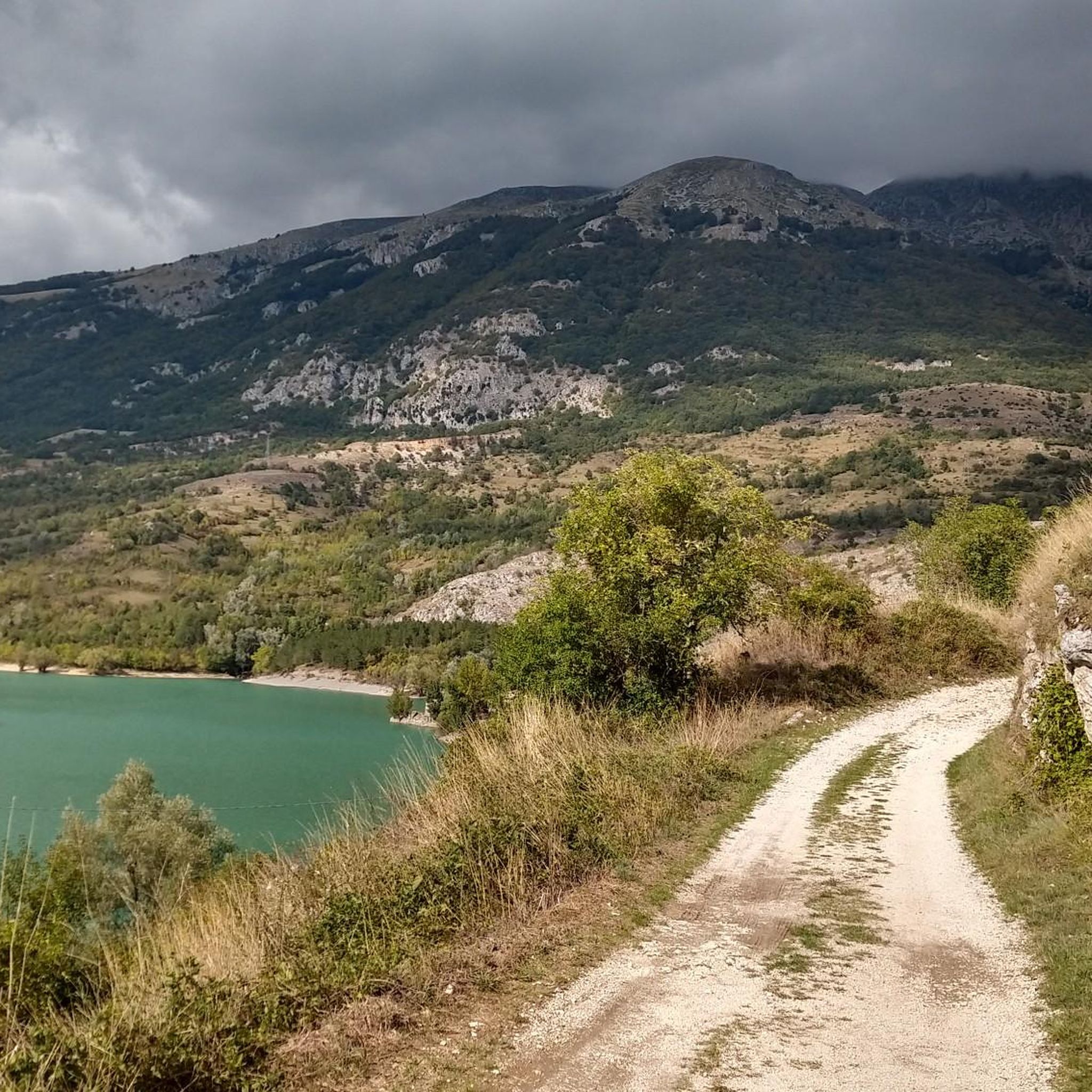
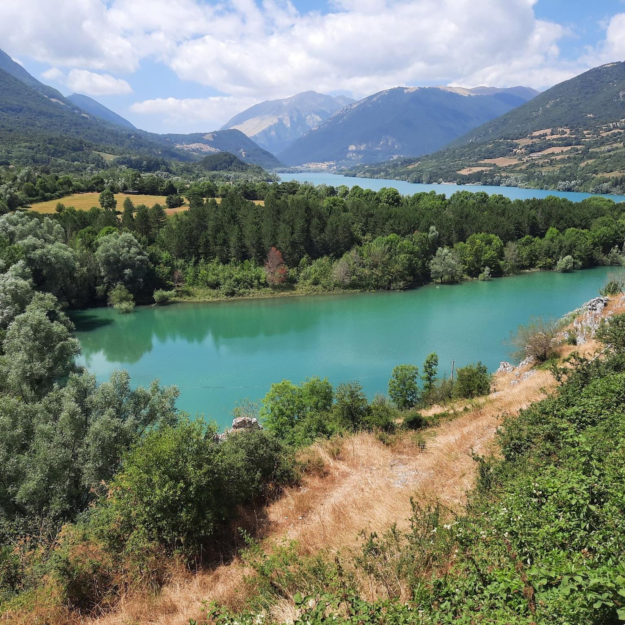
The lake of Castel San Vincenzo is an artificial body of water located in the province of Isernia, within the National Park of Abruzzo, Lazio and Molise. It offers a breathtaking view of the Mainarde mountains, and along the shores of the lake there are campsites, small beaches and equipped picnic areas.
1
0
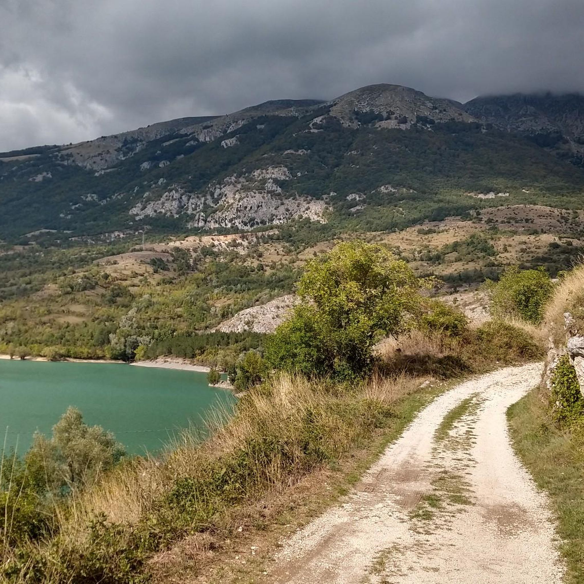
The lake of Castel San Vincenzo is an artificial body of water located in the province of Isernia, within the National Park of Abruzzo, Lazio and Molise. It offers a breathtaking view of the Mainarde mountains, and along the shores of the lake there are campsites, small beaches and equipped picnic areas.
0
0

Here is the beginning of an ancient path that once connected Vallerotonda with Valvori.
0
0
Frequently Asked Questions
How many running trails are available around San Biagio Saracinisco?
There are over 20 running routes in the San Biagio Saracinisco area. These trails offer a mix of moderate and difficult options, catering to different fitness levels and preferences.
Are there any easy running routes for beginners in San Biagio Saracinisco?
While the region is known for its mountainous terrain, offering mostly moderate to difficult runs, there are no routes specifically classified as 'easy' in our current selection. However, some moderate trails like Wolves' Path - Stage 14, which is 3.1 miles (5.0 km) with less elevation gain, might be suitable for those looking for a less strenuous option.
What kind of terrain can I expect on the running routes in San Biagio Saracinisco?
The running routes around San Biagio Saracinisco are characterized by mountainous landscapes, national park trails, and scenic lakeside views. You can expect varied elevations, including challenging ascents and more level sections, often with views of prominent peaks and valleys.
Are there any circular running routes in the area?
Yes, several routes are designed as loops. For instance, the Monte Marrone and Monte Ferruccia Loop offers a challenging 8.2-mile run, and the L'Eremo di San Michele a Foce – Parco Nazionale d'Abruzzo, Lazio e Molise – loop run from Castel San Vincenzo is an 8.4-mile trail through a national park.
What are some notable landmarks or attractions I might see while running?
Many routes offer views of or pass by significant natural monuments and peaks. You might encounter Monte Marrone, Mount La Meta, or the serene Lake Castel San Vincenzo. The L'Eremo di San Michele a Foce loop even takes you near the Hermitage of San Michele at Foce.
What do other runners enjoy most about jogging in San Biagio Saracinisco?
The running routes in San Biagio Saracinisco are highly rated by the komoot community, with an average score of 3.5 stars. Runners often praise the diverse scenery, from mountainous vistas to national park trails and lakeside paths, and the challenging yet rewarding nature of the runs.
Are there any running routes that offer views of Lake Castel San Vincenzo?
Yes, the Lake Castel San Vincenzo – View of the lake from the dam loop from Castel San Vincenzo is a moderate 4.9-mile (7.9 km) route specifically designed to showcase the beautiful lake views from the dam.
What is the typical length and duration of running trails in this region?
The running trails vary significantly in length and duration. For example, the Wolves' Path - Stage 14 is a moderate 3.1 miles (5.0 km) path, taking about 40 minutes, while the challenging Monte Marrone and Monte Ferruccia Loop spans 8.2 miles (13.2 km) and typically takes over 2.5 hours to complete.
Is the Pyramid Trail a good option for a moderate run?
Yes, the Pyramid Trail is classified as a moderate running route. It covers 5.1 miles (8.2 km) and involves about 623 feet (190 meters) of elevation gain, making it a good choice for a steady, engaging run.
What is the best time of year to go running in San Biagio Saracinisco?
Given the mountainous nature of the region, spring and autumn generally offer the most pleasant conditions for running, with milder temperatures and beautiful scenery. Summer can be warm, especially at lower elevations, while winter may bring snow and colder temperatures, particularly on higher trails like those around Monte Marrone.
Are there any running routes that go through a national park?
Absolutely. The L'Eremo di San Michele a Foce – Parco Nazionale d'Abruzzo, Lazio e Molise – loop run from Castel San Vincenzo is an excellent option, leading you directly through the stunning landscape of the Parco Nazionale d'Abruzzo, Lazio e Molise.
Most popular routes around San Biagio Saracinisco
Most popular attractions around San Biagio Saracinisco

Get inspired with the komoot mobile app


Explore more
Browse the best Running Trails & Routes in other regions.
