The best walks and hikes around Civitella Roveto
4.6
(710)
3,075
hikers
139
hikes
Hiking around Civitella Roveto offers access to the mountainous terrain of the Apennines, characterized by significant peaks like Monte Viglio. The region features a mix of dense woodlands, high-altitude meadows, and rocky slopes. Trails often follow ancient paths, leading through valleys and past natural springs. The landscape provides varied elevation changes, from gentle ascents to challenging climbs.
Best hiking trails around Civitella Roveto
- The most popular hiking route is Monte Viglio Loop from Serra Sant'Antonio, a 7.9 miles (12.7…
Last updated: August 29, 2026
4.5
(25)
154
hikers
12.7km
04:28
700m
700m
Embark on the Monte Viglio Loop from Serra Sant'Antonio, a challenging hike that takes you through the heart of the Parco Naturale Regionale dei Monti Simbruini. This difficult 7.9-mile (12.7…
4.6
(62)
282
hikers
Hard hike. Good fitness required. Sure-footedness, sturdy shoes and alpine experience required.

Sign up for free
4.7
(18)
113
hikers
Moderate hike. Good fitness required. Easily-accessible paths. Suitable for all skill levels.
5.0
(6)
43
hikers
12.6km
06:34
1,190m
1,190m
Hard hike. Very good fitness required. Sure-footedness, sturdy shoes and alpine experience required.
4.3
(6)
42
hikers
Easy hike. Great for any fitness level. Easily-accessible paths. Suitable for all skill levels.
Get access to more routes and recommendations from other explorers.
Sign up for free
Already have an account?
Our route recommendations are based on thousands of hikes, rides, and runs completed by other people on komoot.
Start today with a free account
Your next adventure awaits.
Login or Signup
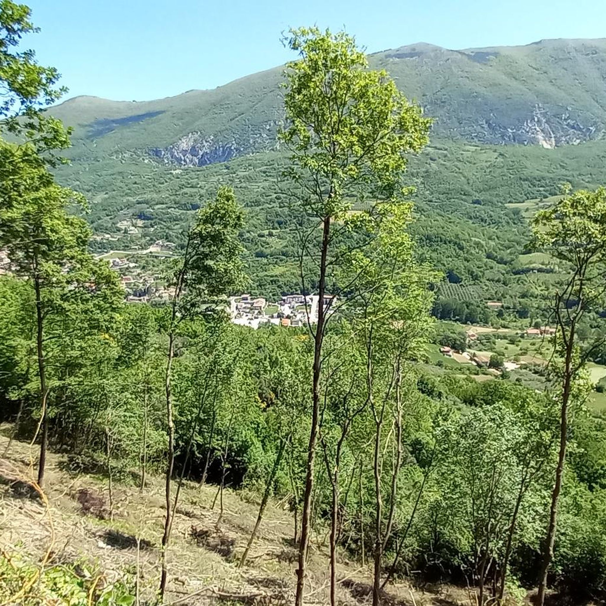
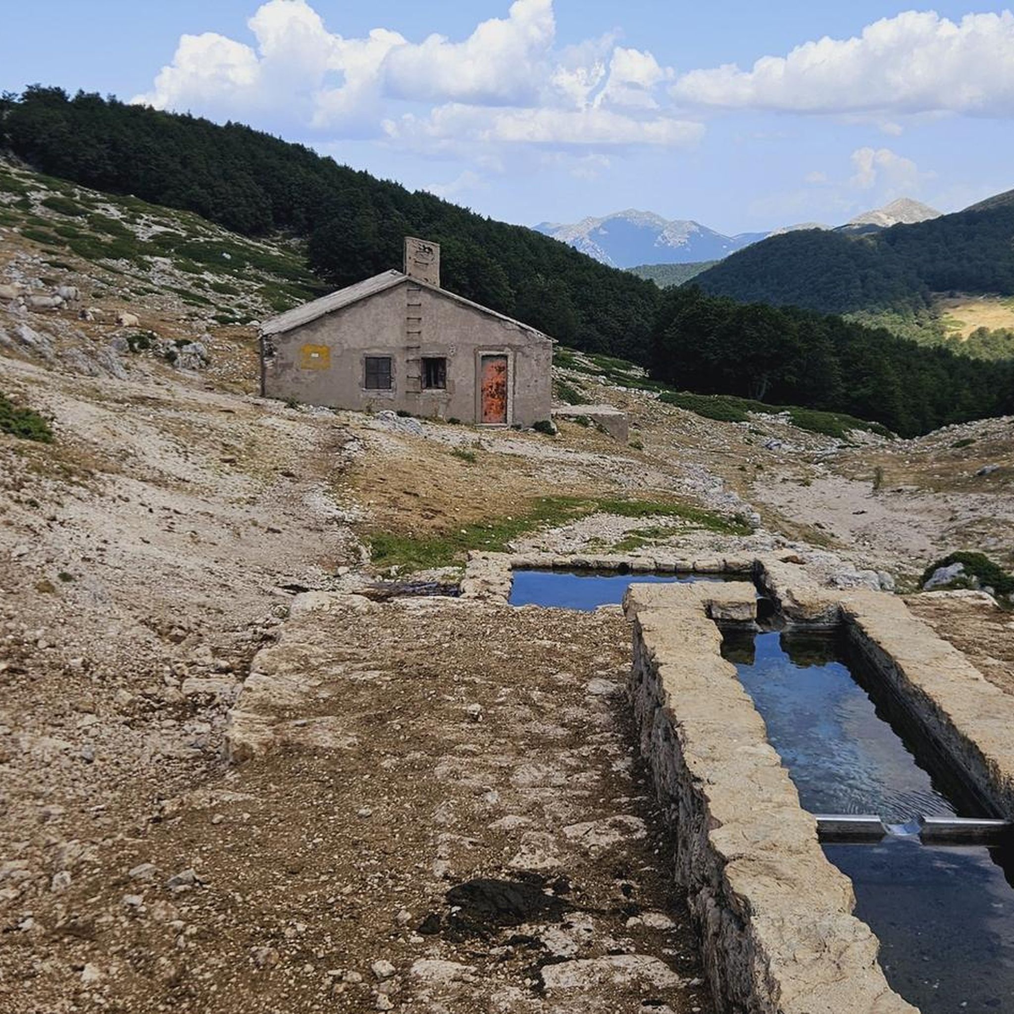
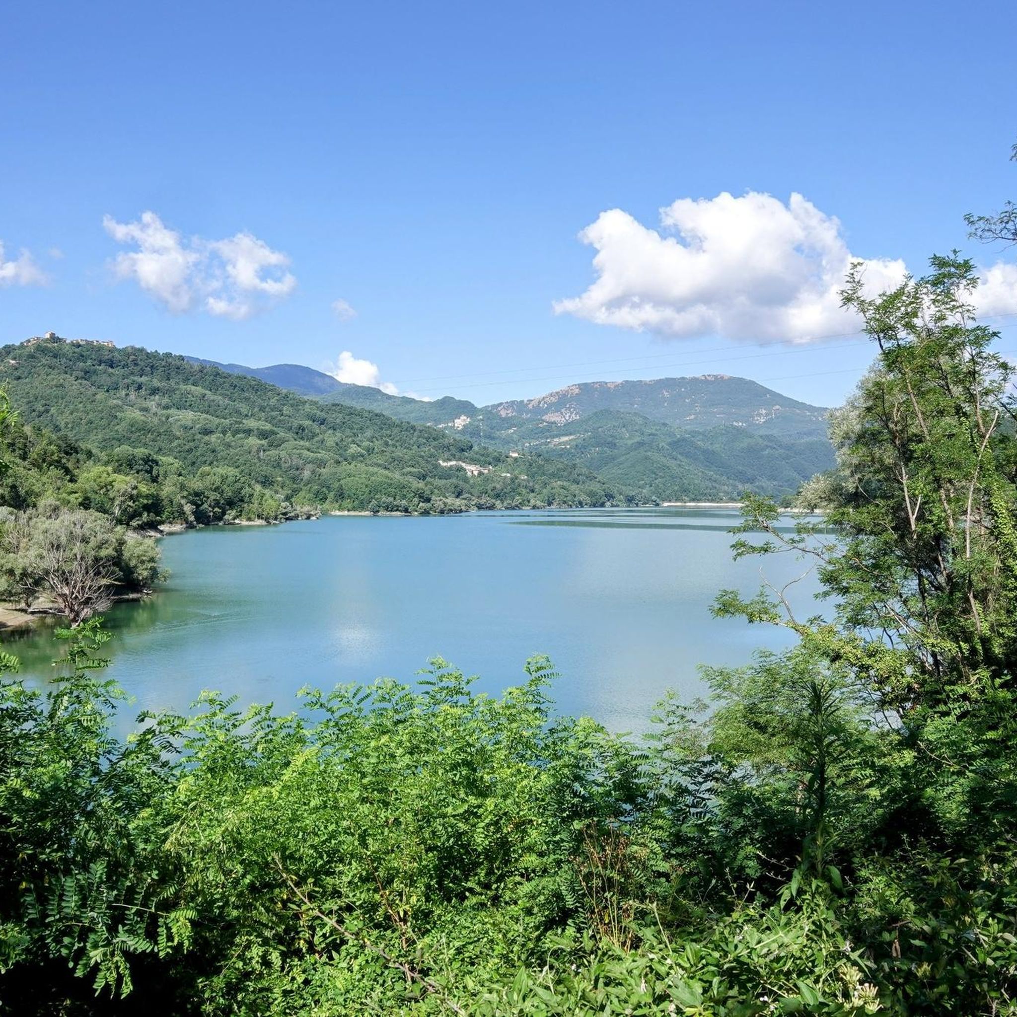
Tips from the Community


Hiking boots, fairly long and steep route.
0
0
Requires good training. No children, but the route can be bypassed by using the path under the gendarme to still reach the summit.
0
0

This place is worth a vote as you reach the top and if the weather permits you can see both the Tyrrhenian and Adriatic seas.
2
0

Here (1780 m) there is a cross and a sacred statue representing the Madonna, Vado della Moscosa or Belvedere.
1
0
This peak is the highest of the Càntari Mountains and is located at 2156 m. From here it is possible to see the Fucino plain, the Gran Sasso (weather permitting), the Sirente-Velino chain, the Maiella, the Marsicani mountains, the Ernici mountains and the Simbruini mountains.
2
0
This spring (1619 m) is often used by horses and cows left in the wild.
1
0
The Serra Sant'Antonio pass is located at 1602 m, on the provincial road to Campo Staffi, and is a mountain pass (on the watershed between the Simbruini and the Cantari).
1
0
Frequently Asked Questions
How many hiking trails are available around Civitella Roveto?
There are over 130 hiking trails around Civitella Roveto, offering a wide range of options from easy walks to challenging mountain ascents. The region is known for its diverse terrain within the Apennines.
Are there any easy or family-friendly hiking trails in Civitella Roveto?
Yes, Civitella Roveto offers several easy trails suitable for families. For a gentle walk, consider the Prato Fonte della Moscosa – Moscosa Spring loop from Passo Serra Sant Antonio, which is 3.3 miles (5.3 km) long and takes about 1 hour 40 minutes. Another easy option is the Moscosa Spring – Prato Fonte della Moscosa loop from Valle Granara, covering 2.9 miles (4.7 km).
What kind of challenging hikes can I find in the area?
For experienced hikers seeking a challenge, the region features demanding routes with significant elevation gains. The Monte Viglio Loop from Serra Sant'Antonio is a difficult 7.9 miles (12.7 km) trail that ascends to Monte Viglio, offering expansive mountain vistas. Another strenuous option is the Prato Fonte della Moscosa – Monte Viglio summit (2,156 m) loop from Passo Serra Sant Antonio, combining high-altitude meadows with a summit push.
Are there any circular hiking routes around Civitella Roveto?
Many trails in Civitella Roveto are designed as circular routes, allowing you to start and end at the same point. Examples include the popular Monte Viglio Loop from Serra Sant'Antonio and the Gendarme of Viglio – Monte Viglio summit (2,156 m) loop from Meta, both offering comprehensive explorations of the mountainous terrain.
What natural attractions or landmarks can I see while hiking?
The trails around Civitella Roveto lead to various natural attractions. You can encounter features like the Small Waterfall, the unique geological formation of Pozzo D'Antullo, or enjoy views from the Monte Viglio summit (2,156 m). The region also features mountain passes such as Monte Salviano Pass and Serra Sant'Antonio Pass.
What do other hikers enjoy most about the trails in Civitella Roveto?
The hiking trails in Civitella Roveto are highly rated by the komoot community, with an average score of 4.6 stars from over 500 reviews. Hikers frequently praise the expansive mountain vistas, the diverse scenery ranging from dense woodlands to high-altitude meadows, and the challenging yet rewarding ascents to peaks like Monte Viglio.
Is Civitella Roveto suitable for winter hiking?
While the Apennine mountains around Civitella Roveto offer stunning winter landscapes, conditions can be challenging. Trails at higher altitudes may be covered in snow and ice, requiring appropriate gear like snowshoes or crampons. It's advisable to check local weather forecasts and trail conditions before planning a winter hike and to stick to lower, well-maintained paths if you are not experienced in winter mountaineering.
Are there any wild swimming spots near the hiking trails?
The region around Civitella Roveto is characterized by mountainous terrain and natural springs. While specific designated wild swimming spots directly adjacent to trails are not widely publicized, natural springs and small streams can be found. Always exercise caution and respect local regulations if considering swimming in natural bodies of water.
What is the best time of year to go hiking in Civitella Roveto?
The best time for hiking in Civitella Roveto is generally from late spring to early autumn (May to October). During these months, the weather is typically mild, and trails are more accessible. Summer offers warmer temperatures, while spring and autumn provide pleasant conditions with vibrant flora or colorful foliage. High-altitude trails may still have snow patches in early spring.
Are there options for parking near the trailheads?
Parking availability varies depending on the specific trailhead. Many popular starting points, especially those for routes leading to Monte Viglio or from passes like Serra Sant'Antonio, typically have designated parking areas. It's recommended to check the route details on komoot for specific parking information for your chosen trail.
Can I bring my dog on the hiking trails in Civitella Roveto?
Many trails in the Civitella Roveto area are dog-friendly, allowing you to enjoy the outdoors with your canine companion. However, it's always best to keep your dog on a leash, especially in areas with wildlife or livestock, and to check for any specific restrictions in protected areas or on private land. Always carry water for your dog and clean up after them.
Are there any cafes or refreshment points along the trails?
While the mountainous trails around Civitella Roveto often lead through natural, undeveloped areas, some routes might pass near small villages or mountain huts where refreshments could be available. It's always advisable to carry sufficient water and snacks, especially on longer or more remote hikes, as dedicated cafes directly on the trails are uncommon.
Most popular attractions around Civitella Roveto

Get inspired with the komoot mobile app


Explore more
Browse the best Hikes in other regions.
