The best walks and hikes around Sant'Ambrogio Sul Garigliano
4.4
(38)
264
hikers
6
hikes
Hiking trails around Sant'Ambrogio Sul Garigliano traverse a diverse landscape characterized by a lush green river valley and the prominent Monte Trocchio. The Garigliano River forms a key natural feature, offering riparian ecosystems and scenic views. The terrain includes varied elevations, from gentle riverside paths to the slopes of Monte Trocchio, which features historical remnants. This region provides a range of environments for outdoor exploration.
Best hiking trails around Sant'Ambrogio Sul Garigliano
- The most popular hiking route is Monte Trocchio Castle loop from S. Lucia, an easy 2.8 miles (4.5 km) trail that takes 1 hour 32 minutes to complete. This route offers historical significance and viewpoints from Monte Trocchio.
- Another top favourite among local hikers is Suio and the Garigliano Dam – loop tour, a moderate 9.6 miles (15.5 km) path. This trail explores the surroundings of the Garigliano River and its dam.
- Local hikers also love the Sant'Andrea del Garigliano – Garigliano River viewpoint loop from Il Cardito, a 9.6 miles (15.4 km) trail leading through the Green River Valley, often completed in about 4 hours 10 minutes.
- Hiking around Sant'Ambrogio Sul Garigliano is defined by the Garigliano River valley, Monte Trocchio, and diverse landscapes. The network offers options for easy, moderate, and challenging ability levels.
- The routes in Sant'Ambrogio Sul Garigliano are highly rated by the komoot community with an average score of 4.7 stars from around 15 reviews. More than 100 hikers have used komoot to explore Sant'Ambrogio Sul Garigliano's varied terrain.
Last updated: November 2, 2026
1
hikers
13.1km
04:21
630m
630m
Moderate hike. Good fitness required. Easily walkable paths.
1
hikers
15.5km
04:12
220m
220m
Moderate hike. Good fitness required. Easily walkable paths.

3.5
(4)
23
hikers
4.49km
01:33
250m
250m
Easy hike. Easily walkable paths.
10
hikers
Moderate hike. Good fitness required. Easily walkable paths.
6
hikers
Moderate hike. Good fitness required. Easily walkable paths.
Our route recommendations are based on thousands of hikes, rides, and runs completed by other people on komoot.
Start today with a free account
Your next adventure awaits.

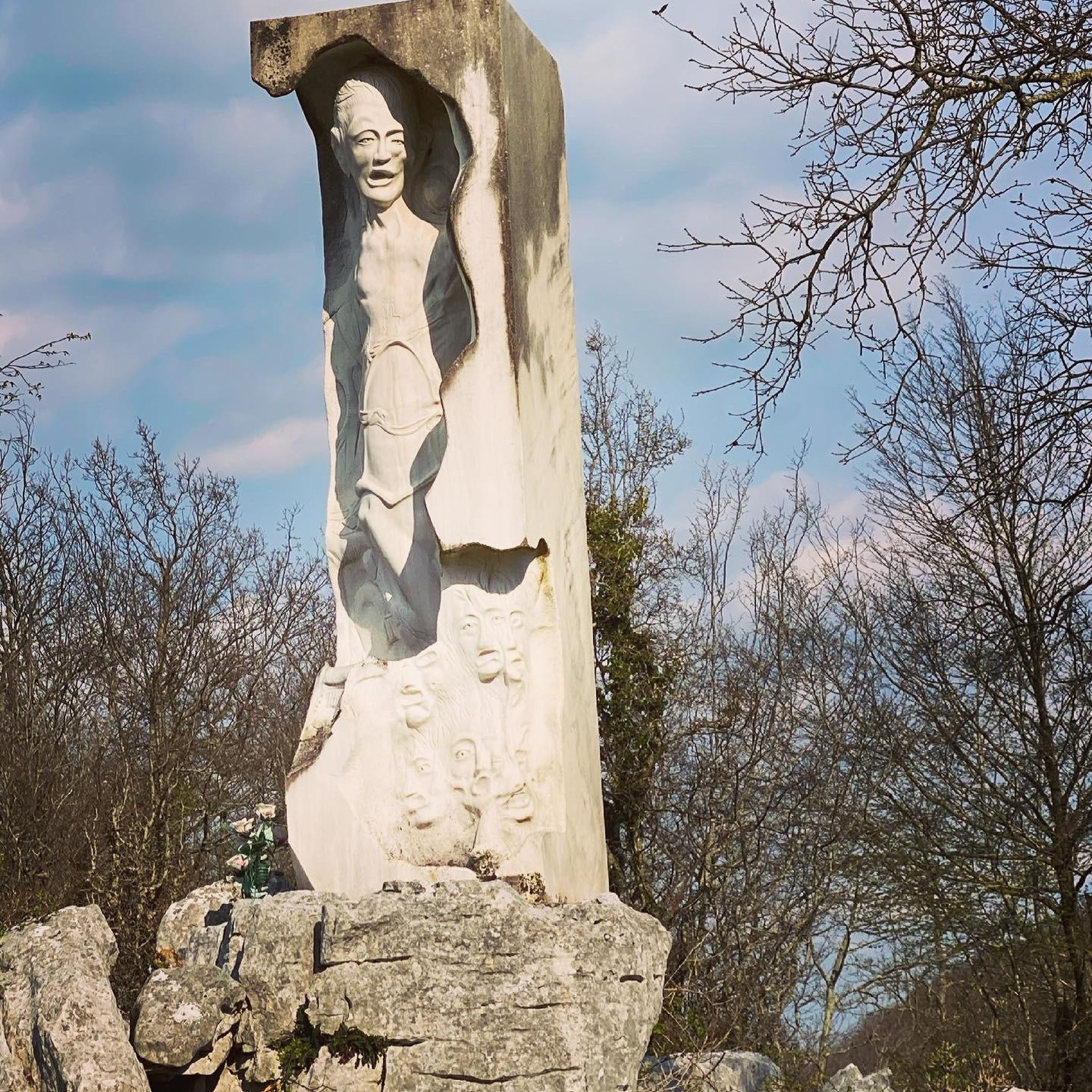
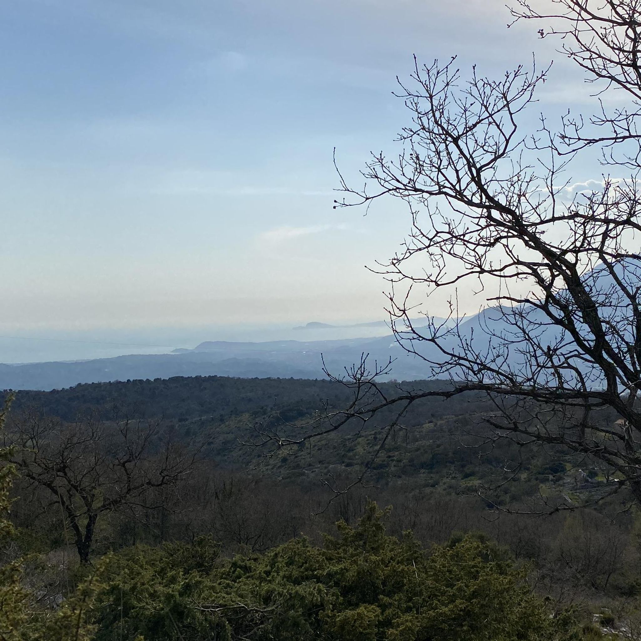

Tips from the Community

Dam that allows you to pass from one bank to the other
0
0
Overlooking point on the Garigliano river. It can be reached via a stretch of dirt road
1
0

Nice spot at the end of the road for having a bath in the river and camping for one night
2
0

Interesting view of the Suio dam on the Garigliano river.
0
0
Small hilltop village in the province of Latina. It hosts Romanesque spas and was part of the territory of the Pentapoli Aurunca.
0
0

Here you can enjoy the view of Vallemaio.
1
0
Monte Maio is a peak of the Aurunci mountains and is located at a height of 940.2 m.
1
0

Dam on the Garigliano river.
0
0
Frequently Asked Questions
How many hiking trails are available around Sant'Ambrogio Sul Garigliano?
There are 5 identified hiking trails around Sant'Ambrogio Sul Garigliano, offering a range of experiences from easy walks to more moderate treks through the diverse landscape.
What kind of landscapes can I expect to see while hiking in this region?
The region is characterized by a lush Green River Valley, following the Garigliano River, and the prominent Monte Trocchio. You'll find riparian ecosystems, scenic river views, and varied elevations, including paths along the river and slopes leading up to Monte Trocchio.
Are there easy hiking trails suitable for beginners or families?
Yes, there is one easy trail. The Monte Trocchio Castle loop from S. Lucia is an easy 2.8-mile (4.5 km) route that takes about 1 hour 32 minutes to complete, offering historical significance and viewpoints.
Are there any circular hiking routes in Sant'Ambrogio Sul Garigliano?
Yes, several routes are loops. For example, the Suio and the Garigliano Dam – loop tour is a moderate 9.6-mile (15.5 km) path exploring the Garigliano River surroundings. Another option is the Sant'Andrea del Garigliano – Garigliano River viewpoint loop from Il Cardito, which is also a loop through the Green River Valley.
What are some notable natural features or landmarks to see along the trails?
Hikers can explore the Garigliano River and its dam, as well as the historic Monte Trocchio. Near Monte Trocchio, you can find remnants of a small castle. The Salomone Spring is another natural highlight in the area.
Are there any viewpoints offering panoramic scenery?
Yes, Monte Trocchio provides excellent viewpoints, including breathtaking views of the Cassino battleground. The Garigliano River viewpoint is also a key feature on some trails, offering scenic vistas of the river valley.
What do other hikers enjoy most about the trails in Sant'Ambrogio Sul Garigliano?
The trails in Sant'Ambrogio Sul Garigliano are highly rated by the komoot community, with an average score of 4.7 stars from around 15 reviews. Hikers often praise the diverse terrain, the scenic beauty of the river valley, and the historical significance of sites like Monte Trocchio.
Are there any challenging hikes for experienced trekkers?
While there are no trails explicitly rated as 'difficult' in the immediate area, there are several moderate routes that offer a good challenge. The From Coreno Ausonio to Monte Maio - ring tour, for instance, is a moderate 8.1-mile (13.1 km) hike with over 600 meters of elevation gain, providing a more strenuous experience.
Is there parking available near the trailheads?
Information on specific parking facilities at trailheads is not detailed in the guide. However, as a rural area, it is generally advisable to look for designated parking areas in or near the starting points of the trails, often in villages or near local attractions.
Can I reach the hiking areas using public transport?
Specific public transport options directly to trailheads are not detailed. It is recommended to check local bus schedules or train connections to Sant'Ambrogio Sul Garigliano and then plan for local transport or a short walk to reach your desired starting point.
Are there any historical sites to explore while hiking?
Yes, the area is rich in history. Monte Trocchio itself holds historical importance related to World War II, and you can find remnants of a small castle near its peak. Additionally, the Roman Amphitheater of Cassino is a significant historical site nearby that can be visited.
What is the typical terrain like on the hiking trails?
The terrain varies from gentle paths along the Garigliano River to more undulating slopes on Monte Trocchio. You can expect a mix of natural surfaces, including dirt paths and possibly some rocky sections, reflecting the diverse landscape of the river valley and mountain.
Most popular routes around Sant'Ambrogio Sul Garigliano
Most popular attractions around Sant'Ambrogio Sul Garigliano

Get inspired with the komoot mobile app


Explore more
Browse the best Hikes in other regions.
