The best MTB trails around Serrungarina
4.5
(263)
2,068
riders
168
rides
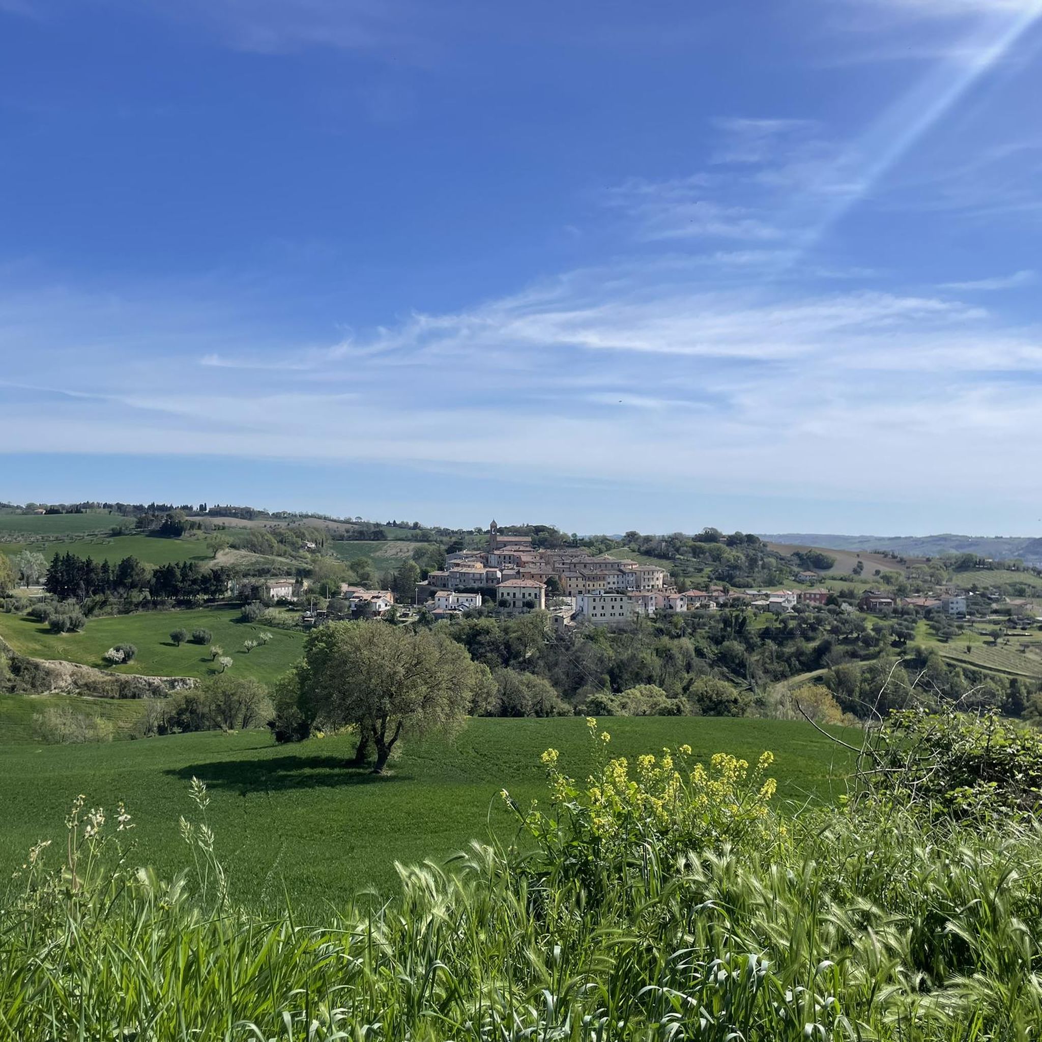
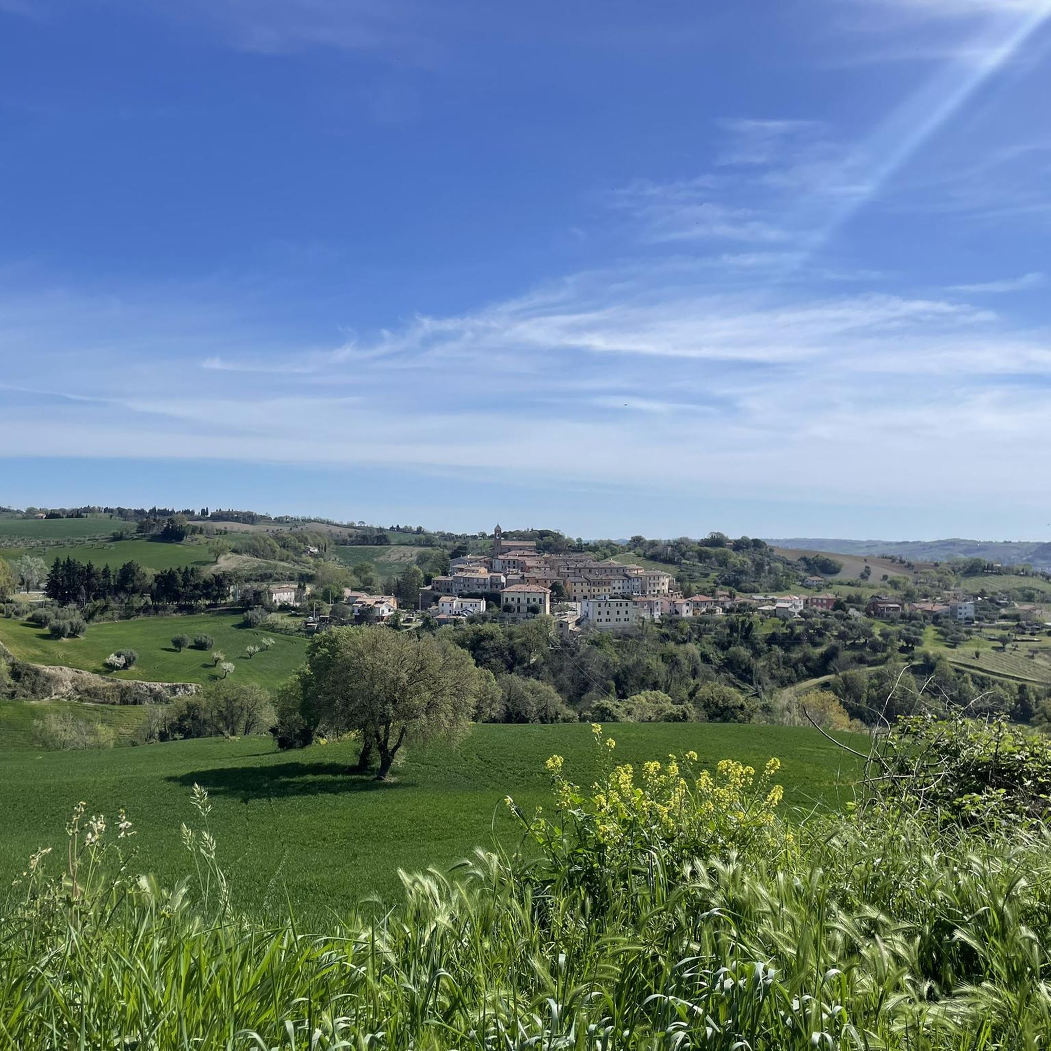
Mountain biking around Serrungarina offers diverse terrain within the picturesque Marche region of Italy. The area is characterized by hilly landscapes with varied elevation, situated at an altitude of 276 meters above sea level. This provides natural variations ideal for mountain bike trails, ranging from woods and mountain pastures to panoramic ridges. The region's topography includes features like gorges and offers a deep connection with nature.
Best mountain bike trails around Serrungarina
- The most popular mountain bike trail is View…
Last updated: June 29, 2026
4.5
(2)
10
riders
28.4km
02:43
870m
870m
Moderate mountain bike ride. Good fitness required. Advanced riding skills necessary.
5.0
(1)
13
riders
24.1km
02:16
710m
710m
Moderate mountain bike ride. Good fitness required. Advanced riding skills necessary.

Sign up for free
5.0
(2)
12
riders
26.0km
02:01
610m
610m
Moderate mountain bike ride. Good fitness required. Suitable for all skill levels.
5.0
(2)
7
riders
32.1km
03:32
1,210m
1,210m
Hard mountain bike ride. Very good fitness required. Advanced riding skills necessary.
6
riders
Moderate mountain bike ride. Good fitness required. Suitable for all skill levels.
Get access to more routes and recommendations from other explorers.
Sign up for free
Already have an account?
Our route recommendations are based on thousands of hikes, rides, and runs completed by other people on komoot.
Start today with a free account
Your next adventure awaits.
Login or Signup
Tips from the Community

A secluded, traffic-free route. Great panorama. Climbs up to 12%, including a short ramp with 18%.
0
0

A fundamental crossroads for those who want to explore the area
1
0


Long and fun, certainly one of the most beautiful white/dirt roads!
0
0

Road, landscapes and enchanting places. Little traffic
0
0

Stunning medieval town, a jewel of the Marche region maintained to perfection with a friendly population of around 2000 individuals.
0
0
Challenging dirt road both uphill and downhill due to water erosion. Still very beautiful, but be careful!
0
0
Be careful, it is also frequented by motorcyclists, so always keep the right direction!
0
0
Frequently Asked Questions
How many mountain bike trails are available around Serrungarina?
There are over 175 mountain bike trails around Serrungarina, offering a wide range of options for different skill levels and preferences. This includes 15 easy routes, 102 moderate routes, and 58 difficult routes.
What are the typical difficulty levels for mountain biking in Serrungarina?
Serrungarina offers a diverse range of mountain biking difficulties. You'll find trails suitable for beginners, with 15 easy routes, as well as plenty of challenges for more experienced riders, including 102 moderate and 58 difficult routes. The region's hilly terrain provides natural variations in elevation, from gentle climbs to exhilarating descents, such as the 'funny speedy S2' 137 Trail.
What do other mountain bikers say about the trails in Serrungarina?
The mountain bike trails around Serrungarina are highly rated by the komoot community, with an average score of 4.5 stars from over 350 reviews. Riders often praise the diverse terrain, varied elevation, and panoramic ridges that characterize the area, providing both challenging rides and captivating views.
Are there any family-friendly mountain bike trails in Serrungarina?
While specific family-friendly routes are not highlighted, the region does offer 15 easy mountain bike trails that could be suitable for families or those looking for a less strenuous ride. These routes typically feature gentler gradients and less technical terrain, allowing for a more relaxed experience amidst the scenic countryside.
Are there mountain bike trails that form a loop around Serrungarina?
Yes, many mountain bike trails around Serrungarina are designed as loops, allowing you to start and finish at the same point. Examples include the moderate Scenic Gravel Road – Olive Tree Near Bargni loop from Montefelcino and the difficult View of Monte Marino – Sanctuary of Beato Sante loop from Tavernelle. These circular routes are ideal for exploring the varied landscapes without needing to retrace your steps.
What natural features or landmarks can I see while mountain biking near Serrungarina?
The Serrungarina area, nestled in the Marche region, offers breathtaking views of the surrounding countryside due to its hilly terrain. A prominent natural attraction nearby is the 'Marmitte dei Giganti' (Giants' Cauldrons), a fascinating canyon carved by the Metauro river. While primarily a hiking or canoeing spot, its dramatic topography contributes to the varied terrain suitable for mountain biking in the vicinity. You might also encounter highlights like the Cesane Forest Picnic Area.
Are there any historical sites or cultural attractions accessible by mountain bike around Serrungarina?
Yes, the charm of Serrungarina is enhanced by its well-preserved medieval architecture and historic center. While mountain biking, you can explore routes that pass near cultural points of interest. Notable historical sites and castles in the wider area include Rocca di Mondavio, Corte Alta, and the Sant'Ippolito Bell Tower and Castle.
What is the best time of year for mountain biking in Serrungarina?
The Marche region, where Serrungarina is located, generally offers pleasant conditions for mountain biking for much of the year. Spring and autumn provide mild temperatures and vibrant scenery, making them ideal. Summer can be warm, so early morning or late afternoon rides are recommended. While specific winter conditions vary, the area's trails can still be accessible, though some higher elevation or more exposed routes might be affected by weather.
Are there any mountain bike trails near Serrungarina that offer scenic viewpoints?
Absolutely. Serrungarina is situated at an altitude of 276 meters above sea level, providing 'breathtaking views of the surrounding countryside.' Many trails traverse panoramic ridges and offer expansive vistas of the Marche hinterland. For example, the difficult View of Monte Santa Maria – View of Fontecorniale loop from Montefelcino is known for its scenic outlooks.
Can I find places to eat or drink near the mountain bike trails in Serrungarina?
The area around Serrungarina, being part of the Marche hinterland, is dotted with small towns and villages. While specific cafes or pubs directly on every trail are not guaranteed, routes often lead towards or pass through charming centers like Cartoceto, as seen in the Scenic Gravel Road – Cartoceto Town Center loop from Cartoceto, where you can find local eateries and refreshment stops.
Are there any specific mountain bike parks or dedicated trail areas near Serrungarina?
Yes, in addition to the general trail network, there are dedicated areas that cater to mountain bikers. For instance, the 137 Trail and Dobby Line - S2 Trail are part of specific bike park highlights around Serrungarina, offering more technical and purpose-built sections for an exciting ride.
What is the average duration for mountain bike trails in Serrungarina?
The duration of mountain bike trails in Serrungarina varies significantly depending on the route's length and difficulty. For example, a moderate route like the Scenic Gravel Road – Cartoceto Town Center loop from Cartoceto can take around 1 hour 57 minutes, while a more challenging and longer route such as the View of Monte Marino – Sanctuary of Beato Sante loop from Tavernelle typically requires about 3 hours 31 minutes.
Most popular routes around Serrungarina
Most popular attractions around Serrungarina

Get inspired with the komoot mobile app


Explore more
Browse the best MTB trails in other regions.
