The best walks and hikes around Schelten
4.6
(2799)
14,415
hikers
387
hikes
Hiking around Schelten offers diverse and scenic landscapes within the Bernese Jura region of Switzerland. The area is characterized by the Jura Mountains, providing varied topography and rolling hills. A central feature is the Schelten Pass, an elevated mountain pass that connects valleys and offers expansive views. The region's terrain includes both challenging ascents and picturesque paths through natural environments.
Best hiking trails around Schelten
- The most popular hiking route is Hohe Winde Summit – Schelten Pass loop from Schelten, a 7.3 miles (11.8 km) trail that takes 3 hours 55 minutes to complete. This route features significant elevation gain and views from the Hohe Winde Summit.
- Another top favourite among local hikers is Hohe Winde Summit – View of Basel loop from Scheltenpass, a moderate 4.8 miles (7.7 km) path. This trail offers panoramic vistas, including distant views towards Basel.
- Local hikers also love the Schelten Pass – Hohe Winde Summit loop from Scheltenpass, a 2.4 miles (3.9 km) trail leading through the Jura Mountains, often completed in about 1 hour 13 minutes.
- Hiking around Schelten is defined by the Jura Mountains, the Schelten Pass, and varied topography. The trail network offers options for easy, moderate, and difficult ability levels.
- The routes in Schelten are highly rated by the komoot community with an average score of 4.7 stars from over 2,500 reviews. More than 14,000 hikers have used komoot to explore Schelten's varied terrain.
Last updated: June 27, 2026
4.4
(7)
44
hikers
11.9km
03:57
580m
580m
Moderate hike. Good fitness required. Easily-accessible paths. Suitable for all skill levels.
4.4
(7)
37
hikers
7.70km
02:47
470m
470m
Moderate hike. Good fitness required. Easily-accessible paths. Suitable for all skill levels.

Sign up for free
2.5
(2)
23
hikers
3.92km
01:14
150m
150m
Easy hike. Great for any fitness level. Easily-accessible paths. Suitable for all skill levels.
3.7
(3)
6
hikers
6.23km
02:05
300m
300m
Moderate hike. Good fitness required. Easily-accessible paths. Suitable for all skill levels.
3.7
(3)
6
hikers
6.23km
02:07
300m
300m
Moderate hike. Good fitness required. Easily-accessible paths. Suitable for all skill levels.
Get access to more routes and recommendations from other explorers.
Sign up for free
Already have an account?
Our route recommendations are based on thousands of hikes, rides, and runs completed by other people on komoot.
Start today with a free account
Your next adventure awaits.
Login or Signup


Tips from the Community

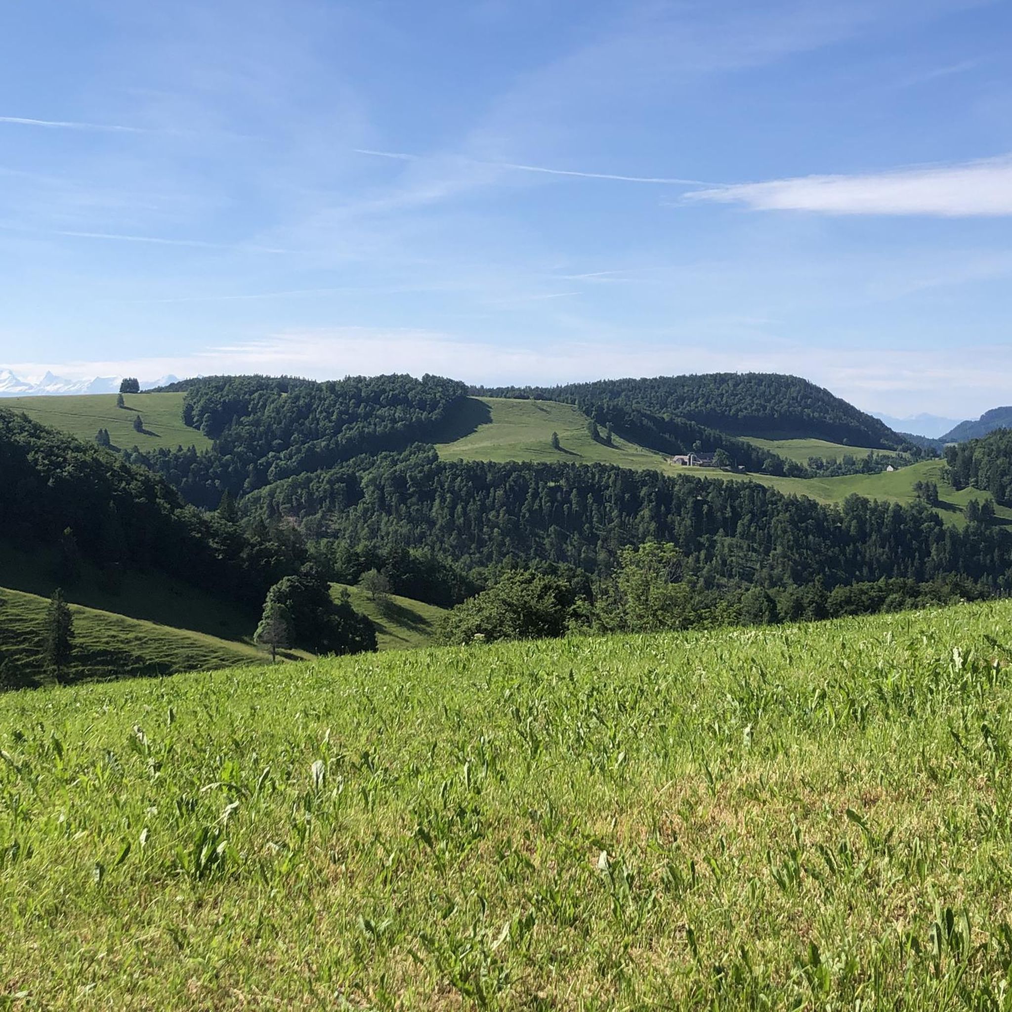
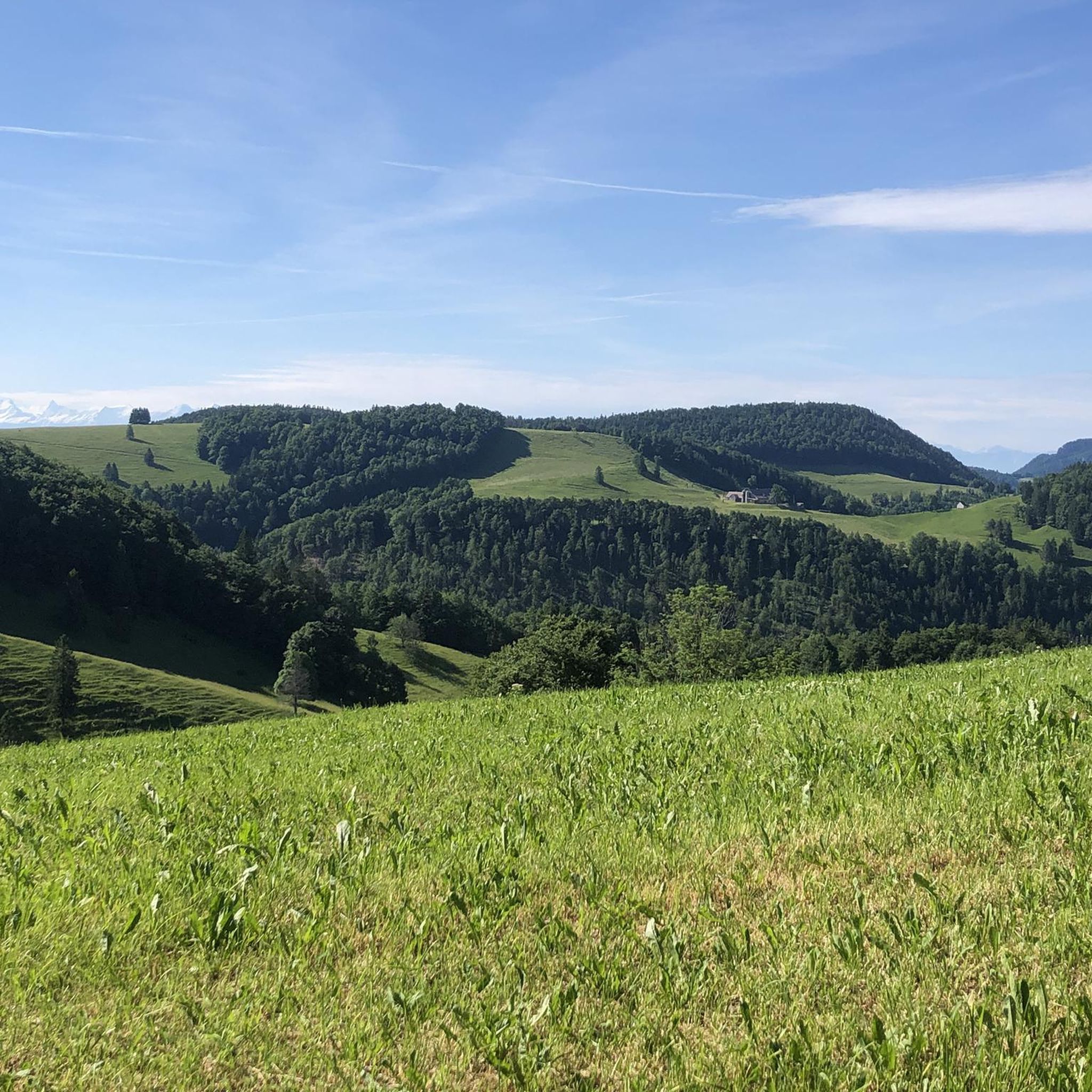
Beautiful on both sides! From Mervelier, you first have to conquer a few short, steep ramps, then the road flattens out and you go directly along the stream through the narrow valley. From the Scheltenmühle onwards, it climbs steeply again; there are 300 meters of altitude gain from there to the pass crossing. At the very top, a short detour to the Vorder Erzberg mountain inn is worthwhile. There you can refuel and enjoy a fantastic view towards Passwang.
0
0

The panoramic view from up here is phenomenal.
0
0


Here you can fortify yourself for the rest of your journey with food and drinks in a beautiful environment
0
0


The traditional way of Swiss hiking catering. Always good!
0
0
Perfect catering option with a nice terrace and a great view.
0
0

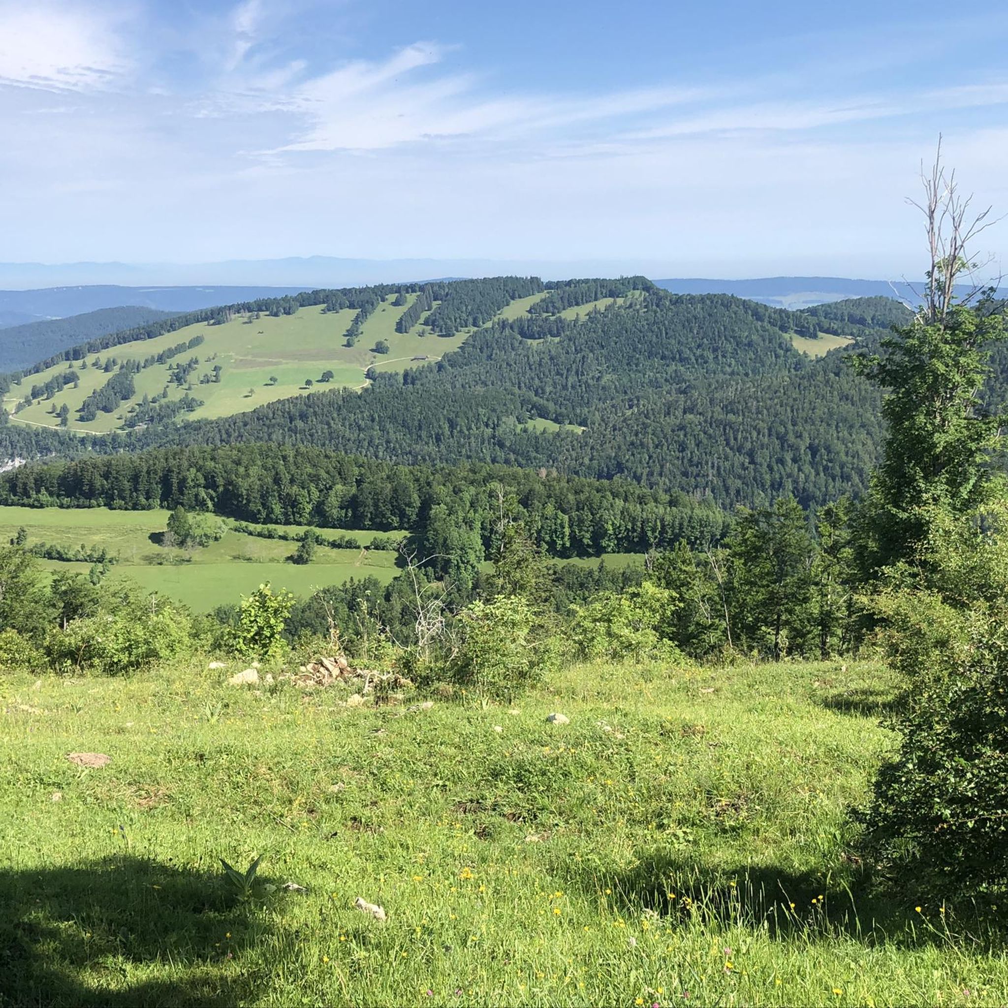
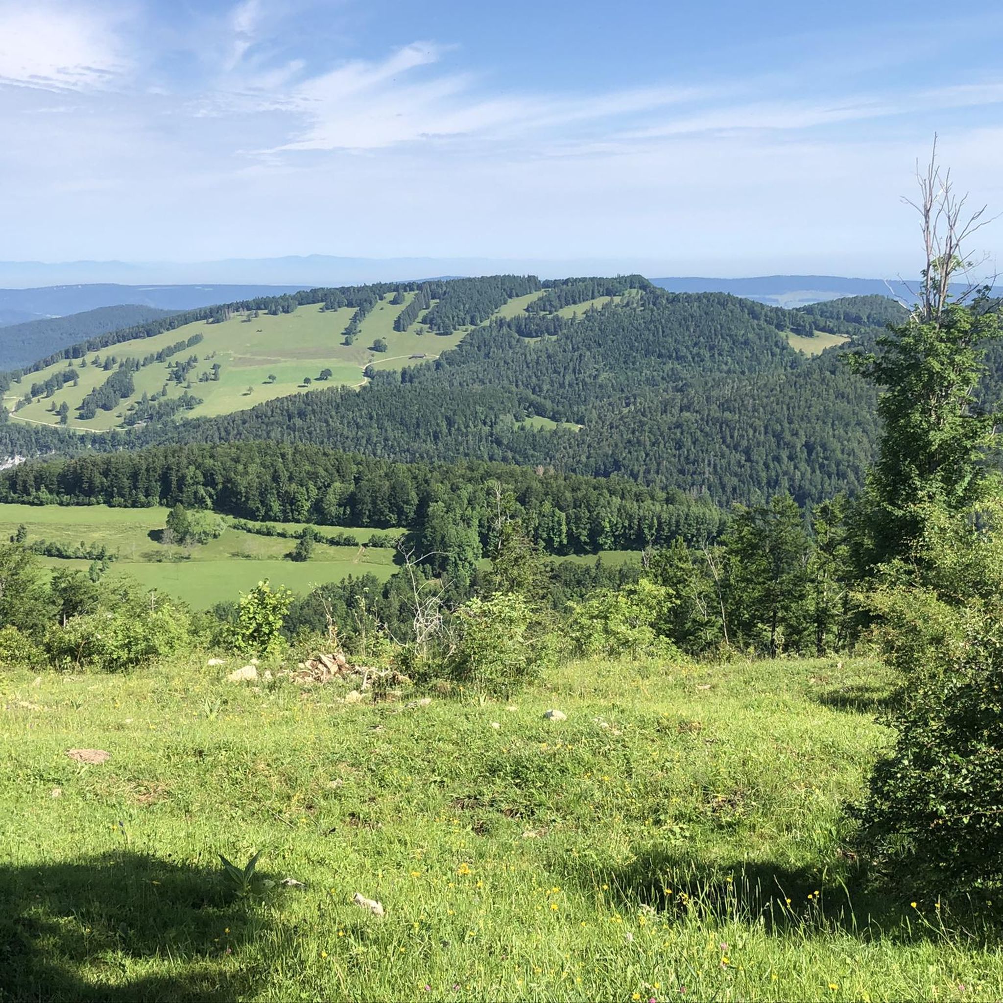
Superb view over the entire Jura and Basel
1
0
Frequently Asked Questions
How many hiking trails are available around Schelten?
Schelten offers a wide variety of hiking experiences, with over 390 routes available. These trails cater to different preferences, including 84 easy routes, 228 moderate routes, and 78 more difficult options, ensuring there's something for every hiker.
What kind of terrain can I expect on hikes in Schelten?
The terrain around Schelten is characterized by the majestic Jura Mountains, offering a diverse landscape of rolling hills, varied topography, and breathtaking panoramic views. The central feature is the Schelten Pass, which provides spectacular vistas of the Gulden Valley and the three chains of the Jura mountains. You'll encounter both challenging ascents and picturesque paths through natural environments.
Are there easy hiking options suitable for beginners or families in Schelten?
Yes, Schelten has a good selection of easier trails. There are 84 routes classified as easy, perfect for beginners or families looking for a more relaxed outing. An example is the Schelten Pass – Hohe Winde Summit loop from Scheltenpass, which is 3.9 km long and can be completed in about 1 hour 13 minutes, offering a pleasant walk through the Jura Mountains.
Can I find challenging hikes in the Schelten area?
Absolutely. For those seeking a challenge, Schelten offers 78 difficult routes. The region's varied topography, including the Schelten Pass with its significant elevation changes, provides rewarding terrain. While not explicitly listed as 'difficult' in the guide data, routes like the Hohe Winde Summit – Schelten Pass loop from Schelten, a 11.8 km trail with substantial elevation gain, offer a demanding experience.
Are there any circular hiking routes around Schelten?
Yes, many of the trails in Schelten are designed as circular routes, allowing you to start and end at the same point. The Hohe Winde Summit – View of Basel loop from Scheltenpass is a popular moderate 7.7 km circular path offering panoramic vistas. The region research also mentions a 'Rundwanderung Scheltenpass' as a moderate 15.1 km circular hike.
What natural landmarks or viewpoints can I see while hiking in Schelten?
Schelten is rich in natural beauty and viewpoints. The Schelten Pass itself offers spectacular vistas. You can also explore impressive geological features like the Wolf Gorge, known for its rock faces rising over 100 meters, bizarre rock formations, and moss-covered trees. Some routes, like the Hohe Winde Summit – View of Basel loop from Scheltenpass, even offer distant views towards Basel.
Are there any mountain restaurants or places to eat along the trails?
Yes, you'll find options for refreshments and meals. The region research mentions the Vorder Erzberg mountain restaurant and the Hohe Winde ski hut as places for breaks. Additionally, you can find the Hohe Winde ski hut and the Hofbergli Mountain Restaurant listed as nearby attractions, perfect for a stop during your hike.
Is Schelten a good place for dog-friendly hikes?
The Bernese Jura region, including Schelten, is generally very welcoming to dogs on trails, provided they are kept under control, especially near livestock. Many hikers enjoy exploring the diverse landscapes with their canine companions. It's always a good idea to bring water for your dog and check for any specific local regulations on individual trails.
What is the best time of year to go hiking in Schelten?
The best time for hiking in Schelten is typically from late spring through early autumn (May to October). During these months, the weather is generally mild, and the trails are clear of snow, offering pleasant conditions for exploring the Jura Mountains and the Schelten Pass. Autumn also brings beautiful fall foliage to the landscape.
How can I get to the hiking trailheads in Schelten using public transport?
While specific public transport routes directly to all trailheads in Schelten might be limited due to its rural nature, Switzerland has an excellent public transport network. You can typically reach nearby towns or the Schelten Pass by bus, often connecting from larger train stations. It's advisable to check the SBB (Swiss Federal Railways) website for current schedules and connections to the Schelten area.
Where can I park my car when hiking in Schelten?
Parking is generally available at key access points, particularly around the Schelten Pass, which serves as a central starting point for many hikes. Look for designated parking areas near trailheads or mountain restaurants. Always ensure you park legally and considerately, especially in rural areas.
What do other hikers say about the trails in Schelten?
The trails in Schelten are highly regarded by the komoot community, boasting an impressive average score of 4.7 stars from over 2,500 reviews. More than 14,000 hikers have used komoot to explore the varied terrain, often praising the stunning panoramic views, the well-maintained paths, and the peaceful natural environment of the Jura Mountains.
Most popular attractions around Schelten

Get inspired with the komoot mobile app


Explore more
Browse the best Hikes in other regions.
