The best walks and hikes around Aldein - Aldino
4.7
(3496)
16,436
hikers
119
hikes
Hiking around Aldein - Aldino, situated on the Regglberg plateau at an altitude of 1200 to 1500 meters, offers diverse landscapes for outdoor enthusiasts. The region is characterized by extensive forest and meadow areas, dramatic geological formations like the Bletterbach Gorge, and prominent peaks such as Schwarzhorn and Weißhorn. This area provides a variety of terrain, from tranquil forest paths to more challenging mountain ascents, making it suitable for different hiking preferences.
Best hiking trails around Aldein - Aldino
- The most popular hiking route is Bletterbach Geological Trail, a 3.8 miles (6.1 km) trail that takes 2 hours 4 minutes to complete. This moderate route offers unique insights into the Bletterbach Gorge, a UNESCO World Heritage site known for its visible rock layers.
- Another top favourite among local hikers is The chromatic contrast of Corno Nero and Corno Bianco, a difficult 7.9 miles (12.7 km) path. This trail explores the areas around the Schwarzhorn and Weißhorn peaks, providing expansive mountain views.
- Local hikers also love the Schwarzhorn Summit Trail to Berghotel Jochgrimm (via CAI 573), a 3.2 miles (5.1 km) trail leading through alpine terrain, often completed in about 2 hours 15 minutes.
- Hiking around Aldein - Aldino is defined by the dramatic Bletterbach Gorge, the peaks of Schwarzhorn and Weißhorn, and serene forest and meadow landscapes. The network of trails offers options for various ability levels, from easy walks to more strenuous mountain climbs.
- The routes in Aldein - Aldino are highly rated by the komoot community with an average score of 4.6 stars from over 3,300 reviews. More than 16,000 hikers have used komoot to explore Aldein - Aldino's varied terrain.
Last updated: July 7, 2026
4.8
(138)
498
hikers
6.13km
02:04
280m
280m
Embark on the Bletterbach Geological Trail, a moderate hike that leads you directly through a dramatic canyon often likened to the 'Grand Canyon of South Tyrol'. You will traverse the gravel bed of the Bletterbach Gorge, where towering rock faces reveal colorful geological layers from ancient periods. This route spans 3.8 miles (6.1 km) with an elevation gain of 914 feet (279 metres), typically taking about 2 hours and 4 minutes to complete. Along the way, you can admire spectacular waterfalls, such as the Butterloch Waterfall, and catch glimpses of the white Dolomite rock of Corno Bianco/Weisshorn.
Before you head out, remember that helmets are mandatory for entering the gorge; you can rent them for free at the GEOPARC Bletterbach visitor center. It is also essential to wear waterproof shoes, as you will be walking on wet rock and crossing the river multiple times. Always check for potential trail closures due to rain or landslides before your visit to ensure a safe experience.
This trail offers a unique journey through the GEOPARC Bletterbach, where you can witness millions of years of Earth's history etched into the canyon walls. The geological layers from the Permian to the Triassic periods provide a fascinating insight into the region's past. It is a prime example of how natural forces have shaped the landscape, making it a notable destination for those interested in geology and natural wonders.
4.9
(38)
173
hikers
12.7km
05:09
830m
830m
Hard hike. Very good fitness required. Sure-footedness, sturdy shoes and alpine experience required.

Sign up for free
4.5
(43)
218
hikers
5.13km
02:15
400m
400m
Embark on the Schwarzhorn Summit Trail to Berghotel Jochgrimm, a moderate hike that takes you through varied alpine terrain. You will cover 3.2 miles (5.1 km) with an elevation gain of 1315 feet (401 metres), typically completed in about 2 hours and 15 minutes. The route on CAI 573 winds through mountain pine forests and rocky sections, offering a true taste of the landscape between Corno Nero and the welcoming Berghotel Jochgrimm. As you ascend, you will experience the raw beauty of this border region between South Tyrol and Trentino, with scenic views unfolding along the northern side of the mountain.
To begin your hike, head to Passo Oclini, which is easily accessible by car via the road to Passo Lavazè. The Berghotel Jochgrimm provides convenient parking right at Passo Oclini, making it simple to start your adventure. This trail is best enjoyed during daylight hours when the weather is clear, allowing you to fully appreciate the panoramic vistas from the summit. Always check local conditions before you go, especially for seasonal closures or specific access requirements.
The highlight of this trail is undoubtedly the Schwarzhorn's summit, where you are rewarded with an expansive view of several prominent mountain ranges. From this vantage point, you can see the Catena Centrale delle Alpi, the Ortles-Cevedale, the Adamello and Presanella ranges, and the Brenta Dolomites. After soaking in these remarkable sights, the trail concludes at Berghotel Jochgrimm, known by locals as an excellent stop for refreshments, good food, and a welcoming atmosphere, perfectly rounding off your alpine experience.
4.7
(23)
91
hikers
12.9km
04:35
650m
650m
Embark on the Corno Nero - Passo Cùgola Loop, a moderate hike that takes you through varied landscapes in the GEOPARC Bletterbach. You will start in peaceful meadows where cows graze, then move into thick forests before the path grows more rugged. As you climb towards the Schwarzhorn (Corno Nero) summit, expect rocky sections and dwarf pine. From the top, enjoy sweeping 360-degree views of the Latemar and Catinaccio mountain ranges. The dark volcanic rock of Corno Nero stands out against the white dolomite peaks nearby, creating a striking visual contrast. This loop covers 8.0 miles (12.9 km) with an elevation gain of 2136 feet (651 metres), typically taking about 4 hours and 34 minutes to complete.
Plan your hike to begin and end at Passo Oclini, where convenient parking is available. While the overall difficulty is moderate, be aware that some sections are quite demanding. The descent along path number 502, in particular, features steep stretches with loose gravel and slippery stones. For your safety and comfort, proper hiking boots are highly advised to navigate these challenging parts of the trail.
This route offers a unique opportunity to explore the geological diversity of the Dolomites. The striking contrast between the dark volcanic rocks of Corno Nero and the lighter dolomite peaks highlights the region's complex natural history. It is a rewarding adventure for hikers who appreciate both scenic beauty and a good physical challenge within a distinctive natural environment.
4.8
(13)
80
hikers
18.2km
06:28
900m
900m
Embark on the Schwarzhorn Summit and Bletterbach Gorge Trail, a demanding journey through diverse South Tyrolean landscapes. This difficult 11.3-mile (18.2 km) hike, estimated to take around 6 hours and 28 minutes, challenges you with a significant 2960 feet (902 metres) of elevation gain. You'll experience the effort of climbing towards the Schwarzhorn summit, rewarded with sweeping alpine views. The route then leads you through varied terrain, from mountain paths to forest tracks, before descending into the dramatic Bletterbach Gorge.
To begin your adventure, head to the Jochgrimm area, where convenient parking is available near the Berghotel. This makes for straightforward access to the trailhead, allowing you to start your hike without delay. Remember to pack sturdy hiking boots, as the trail surface varies from gravel paths to natural mountain terrain. Consider an early start to make the most of the daylight and enjoy the full experience at a comfortable pace.
The Bletterbach Gorge stands out as a geological marvel, often called the "Grand Canyon of South Tyrol." It is a UNESCO World Heritage site, showcasing millions of years of Earth's history through its exposed rock layers. As you explore the canyon, you can observe fossil displays and even traces of dinosaurs, offering a unique glimpse into ancient times. This trail provides a rare combination of high alpine vistas and profound geological insights, making it a notable route in the region.
Get access to more routes and recommendations from other explorers.
Sign up for free
Already have an account?
Our route recommendations are based on thousands of hikes, rides, and runs completed by other people on komoot.
Start today with a free account
Your next adventure awaits.
Login or Signup
Popular around Aldein - Aldino
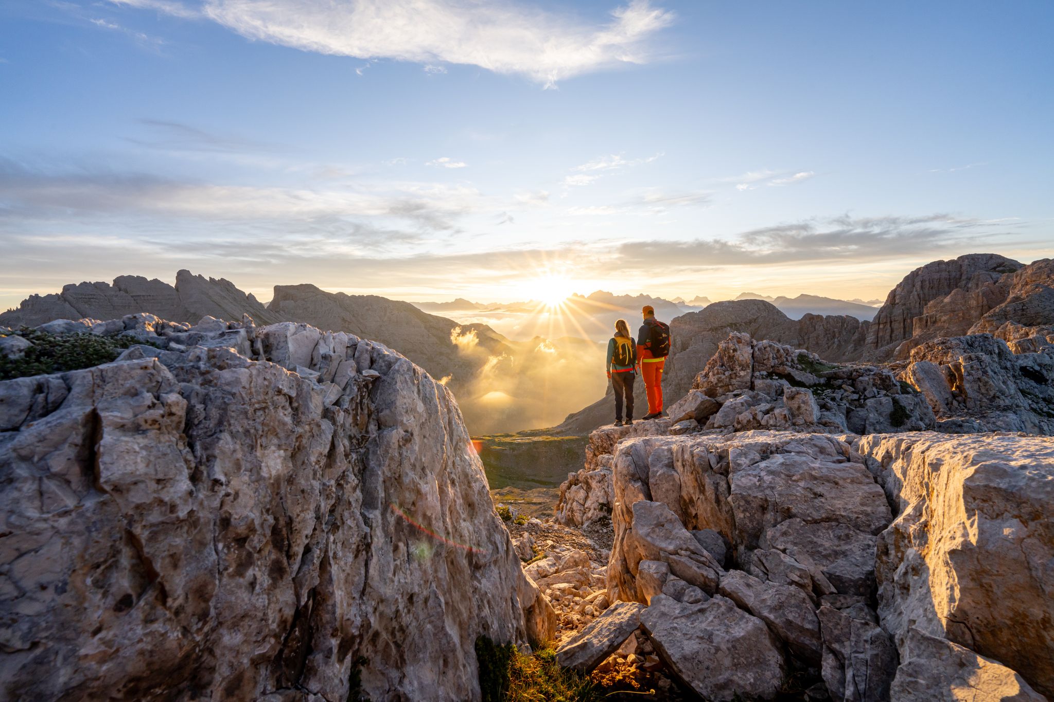
Dolomite Panoramas – 10 excursions in Val di Fiemme
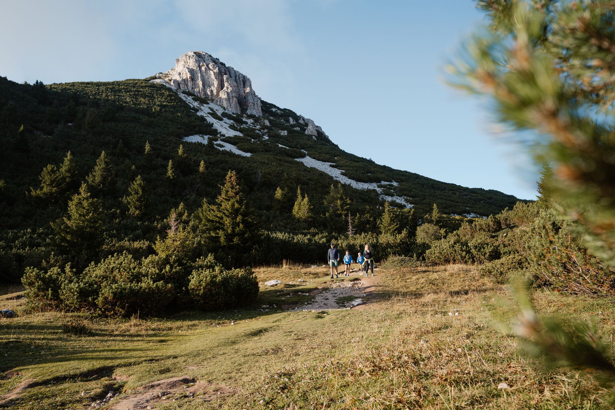
A path of contrasts – SchwarzWeiss Trail in the South Tyrolean lowlands
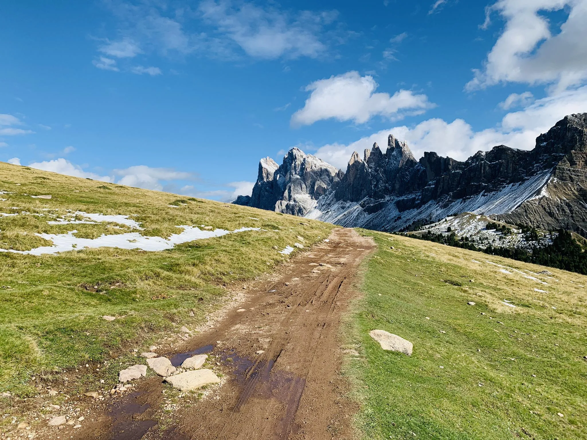
Between gorges and peaks – Dolomites UNESCO Geotrail
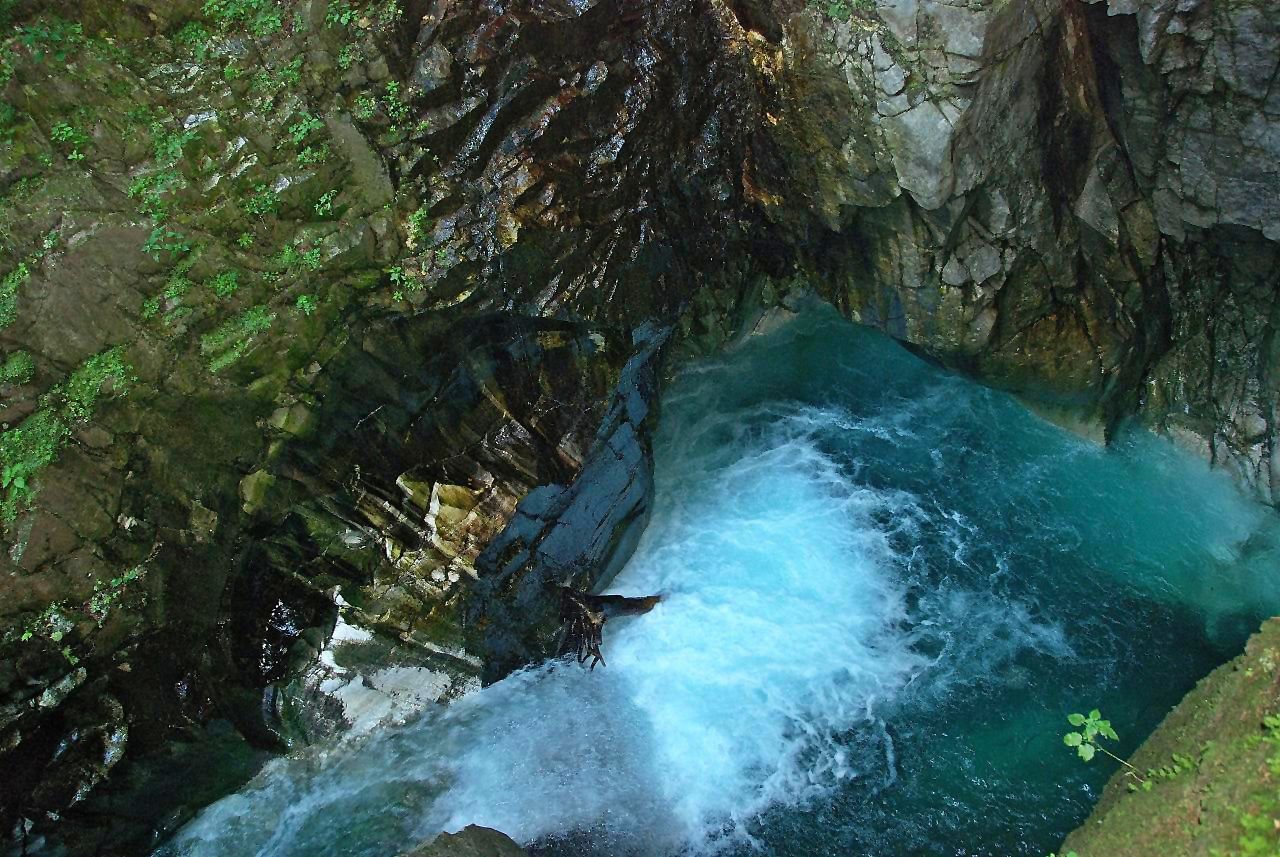
Die schönsten Klammen Tirols
Road Cycling Routes around Aldein - Aldino
Cycling around Aldein - Aldino
Running Trails around Aldein - Aldino

Gravel biking around Aldein - Aldino
MTB Trails around Aldein - Aldino

Mountain Hikes around Aldein - Aldino
Other adventures around Aldein - Aldino


Tips from the Community

If you can walk in the riverbed, follow the riverbed to the waterfall.
0
0

Interesting because you can see all the rock layers for a few hundred meters in height.
0
0

From the Jochgrimm mountain hotel
0
0

Absolute world class Great views
0
0

The strenuous part of the route with what feels like 763 steps. You can count them 😉.
0
1

Rightly called the Grand Canyon of the Dolomites and rightly a World Heritage Site. https://www.bletterbach.info/geowissen/unesco-welterbe/
0
0

currently closed so it can not be closer
0
0

You don’t just look inside, you grab a helmet and just walk through
0
0
Frequently Asked Questions
What types of hiking trails are available in Aldein - Aldino?
Aldein - Aldino offers a diverse range of trails, from easy walks through forest and meadow landscapes to more challenging mountain ascents. There are over 120 hiking routes in total, with 41 easy, 54 moderate, and 28 difficult options, ensuring something for every skill level.
Are there any family-friendly hiking trails in Aldein - Aldino?
Yes, Aldein - Aldino is great for families. The Bletterbach Geological Trail is a popular moderate option that offers unique insights into the UNESCO World Heritage site. Another excellent choice is the Descent into the Bletterbach Gorge – Bletterbach Gorge loop, which is an easy route. The region also features a family-friendly Dinosaur Trail above the Bletterbach Gorge and the historical Mill Path (Mühlenweg) along the Rio Thal.
What are the main natural attractions to see while hiking in Aldein - Aldino?
The most prominent natural attraction is the Bletterbach Gorge, a UNESCO World Heritage site known as the 'Grand Canyon of South Tyrol' for its visible rock layers and geological insights. Other notable features include the majestic Schwarzhorn and Weißhorn peaks, the serene Monte Corno Natural Park, and picturesque lakes like Lake Colle (Göllersee). You can also find stunning views of the larger Lake Kaltern and the Dolomites from the Jochgrimm Alpine Pass.
Are there any waterfalls or lakes accessible via hiking trails?
Yes, the region features several beautiful water bodies. You can hike to the tranquil Lake Colle (Göllersee). While not directly in Aldein - Aldino, the popular Lake Carezza (Karersee) is nearby and accessible via a scenic trail through enchanting forests. Additionally, the Rastenbach Gorge Waterfall (Rastenbach Gorge Waterfall) and Rastenbachklamm Waterfall (Rastenbachklamm Waterfall) are natural monuments in the surrounding area that can be explored.
Can I find circular hiking routes in Aldein - Aldino?
Yes, there are several circular routes available. For instance, the Descent into the Bletterbach Gorge – Bletterbach Gorge loop is an easy circular trail. The 'Small Pastures Circuit' around the Aldein Alm is also a recommended route for experiencing the charming alpine pastures.
What are some notable landmarks or points of interest near the hiking trails?
Beyond the natural beauty, you can explore cultural and historical landmarks. The pilgrimage site Maria Weißenstein (Madonna di Pietralba) is a significant spiritual attraction reachable by hiking. The Mill Path (Mühlenweg) offers a glimpse into the region's history with restored mills. For those interested in historical structures, nearby castles include Leuchtenburg Castle (Leuchtenburg Castle) and Castelfeder Castle Ruins (Castelfeder Castle Ruins).
What do other hikers say about the trails in Aldein - Aldino?
The trails in Aldein - Aldino are highly regarded by the komoot community, with an average rating of 4.6 stars from over 3,300 reviews. Hikers often praise the dramatic geological formations, the stunning mountain views from peaks like Schwarzhorn and Weißhorn, and the serene forest and meadow landscapes.
Are there any challenging hikes for experienced hikers?
Absolutely. For experienced hikers, the region offers several difficult routes. The The chromatic contrast of Corno Nero and Corno Bianco is a challenging 7.9-mile path exploring the areas around the Schwarzhorn and Weißhorn peaks. The hike to Cima Catinaccio also provides breathtaking views for those seeking a greater challenge.
What is the best time of year to go hiking in Aldein - Aldino?
Aldein - Aldino is beautiful throughout the warmer months. Autumn is particularly recommended for hiking to the pilgrimage site Maria Weißenstein, as the changing foliage adds to the scenic beauty. The diverse landscapes, from alpine pastures to forest trails, offer enjoyable experiences from spring through autumn.
Are there places to eat or rest along the trails in Aldein - Aldino?
Yes, particularly in the Aldein Alm area, you'll find several cozy huts that offer refreshments and a place to rest. Examples include the Lahner Hut, Schmieder Hut, and Schönrast Hut. The Schwarzhorn Summit Trail to Berghotel Jochgrimm (via CAI 573) also leads to a mountain hotel, providing a convenient stop.
Is public transport available to access hiking trailheads in Aldein - Aldino?
While specific public transport routes to every trailhead are not detailed, Aldein - Aldino is a well-established tourist region. It's advisable to check local bus schedules for connections to the main villages and popular starting points for hikes. Many areas are also accessible by car, with parking often available near trailheads.
Most popular routes around Aldein - Aldino
Most popular attractions around Aldein - Aldino

Get inspired with the komoot mobile app


Explore more
Browse the best Hikes in other regions.
