The best walks and hikes around Ziano Di Fiemme
4.3
(870)
4,893
hikers
31
hikes
Hiking around Ziano Di Fiemme offers access to the Dolomites and Lagorai Mountain Ranges, both known for their dramatic scenery and impressive peaks. The region is characterized by alpine lakes, verdant meadows, and ancient woodlands within the Fiemme Valley, with the Avisio river flowing through it. This diverse landscape provides a superb environment for outdoor enthusiasts.
Best hiking trails around Ziano Di Fiemme
- The most popular hiking route is TransLagorai from Primiero to Bivacco Paolo e Nicola, an 11.5…
Last updated: October 10, 2026
37
hikers
18.5km
09:09
1,380m
1,380m
Wild trek through dark porphyry peaks with pristine alpine lakes and untouched Lagorai wilderness.
11.1km
04:33
510m
510m
Trail through wild Lagorai peaks to WWI trenches at Passo Sadole with Dolomites views.

14.8km
06:22
1,300m
1,300m
Hike the difficult 9.2 miles (14.8 km) Val Averta Equipped Trail, gaining 4278 feet (1304 metres) with equipped sections and panoramic views
4.7
(29)
233
hikers
14.1km
05:37
910m
910m
Hard hike. Very good fitness required. Sure-footedness, sturdy shoes and alpine experience required.
4.4
(5)
31
hikers
7.25km
02:09
210m
210m
Moderate hike. Good fitness required. Easily-accessible paths. Suitable for all skill levels.
Get access to more routes and recommendations from other explorers.
Already have an account?
Our route recommendations are based on thousands of hikes, rides, and runs completed by other people on komoot.
Start today with a free account
Your next adventure awaits.
Popular around Ziano Di Fiemme
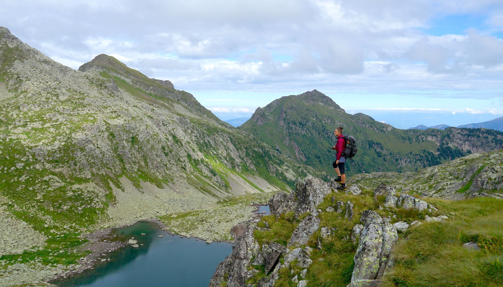
Translagorai – dreamy trekking through the wild heart of Trentino
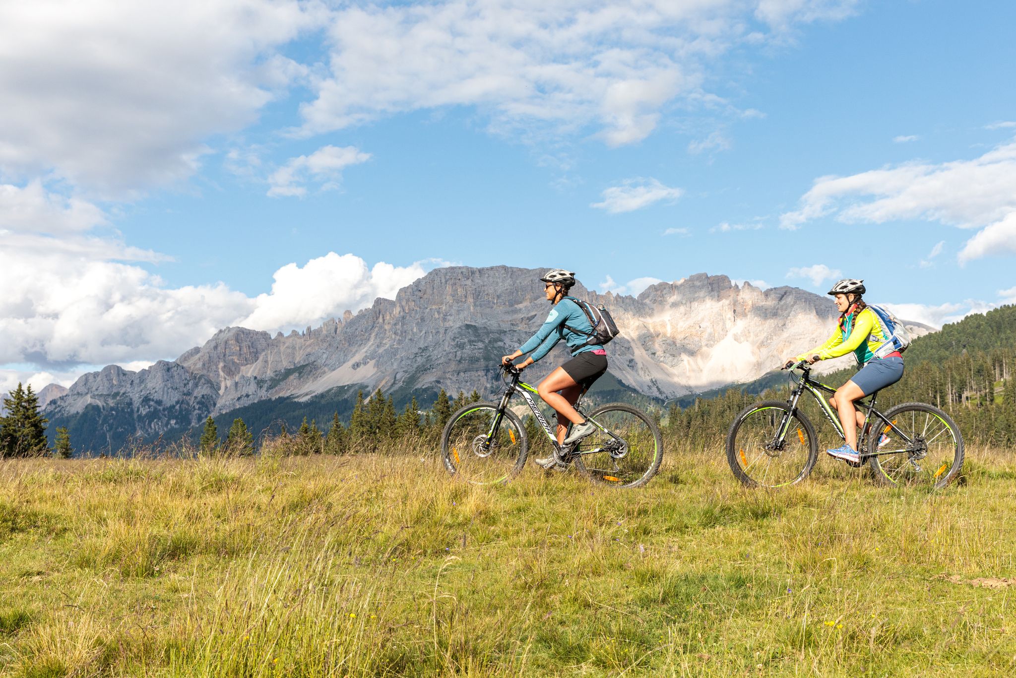
Explore the heart of the Dolomites – discover Val di Fiemme by MTB
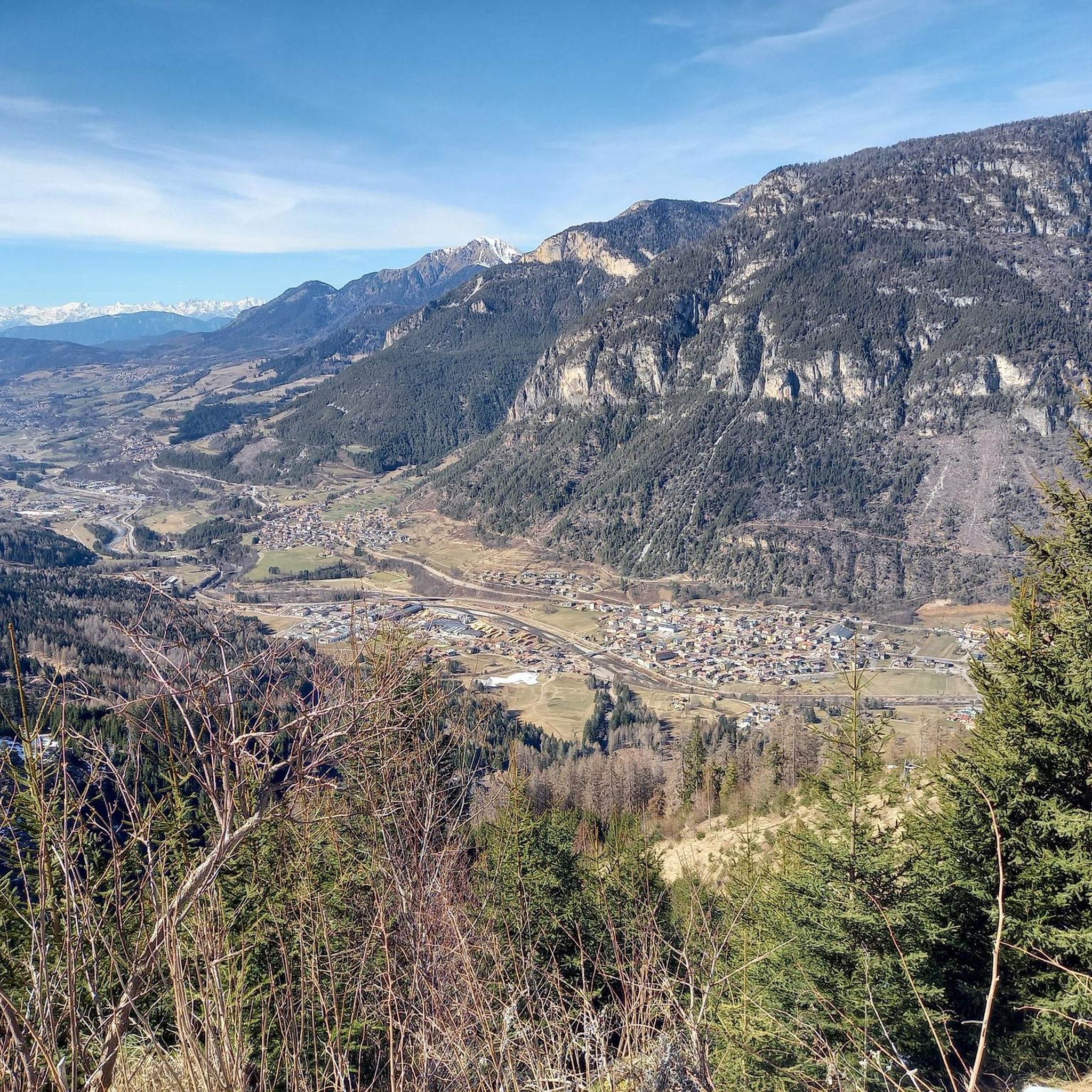
Road Cycling Routes around Ziano Di Fiemme
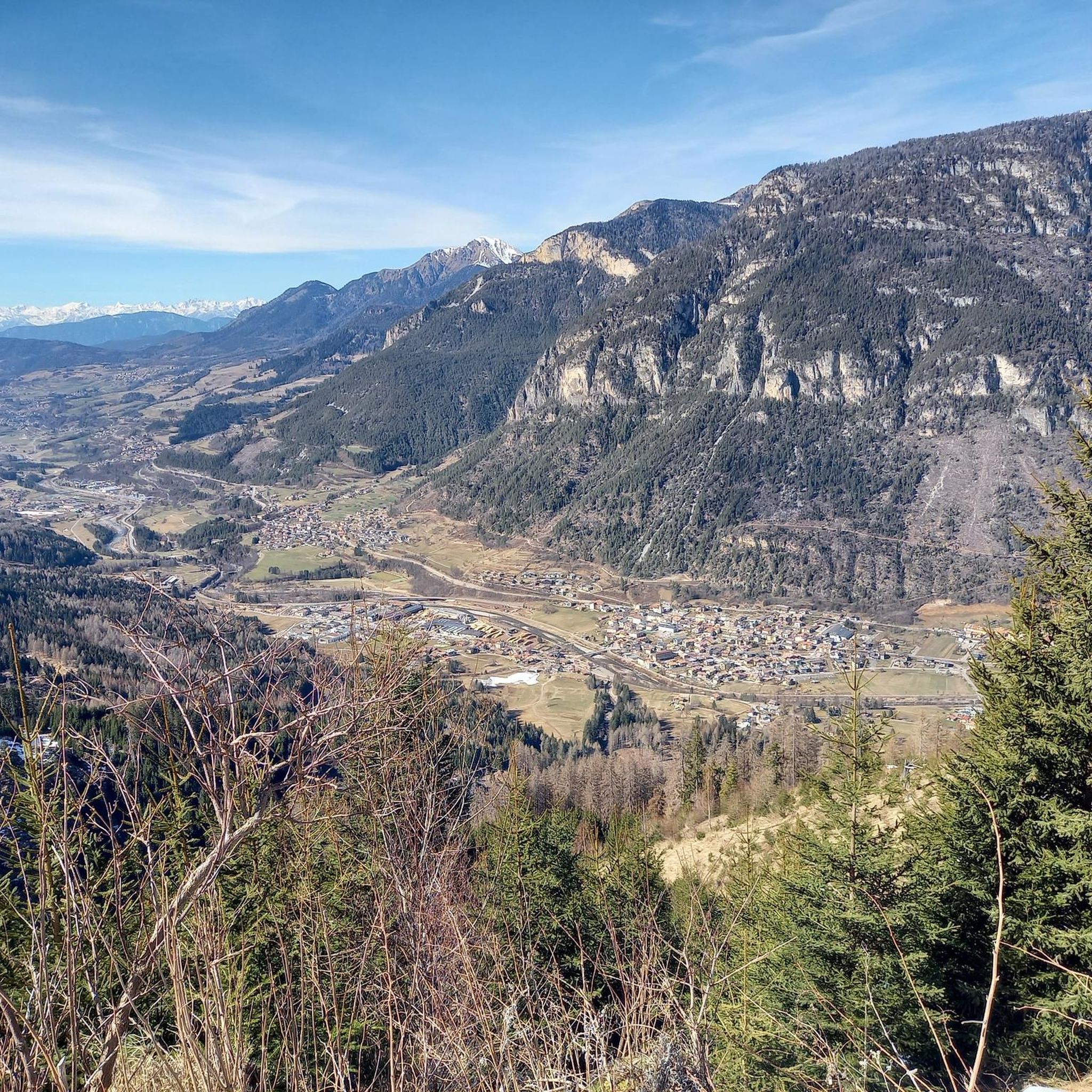
MTB Trails around Ziano Di Fiemme
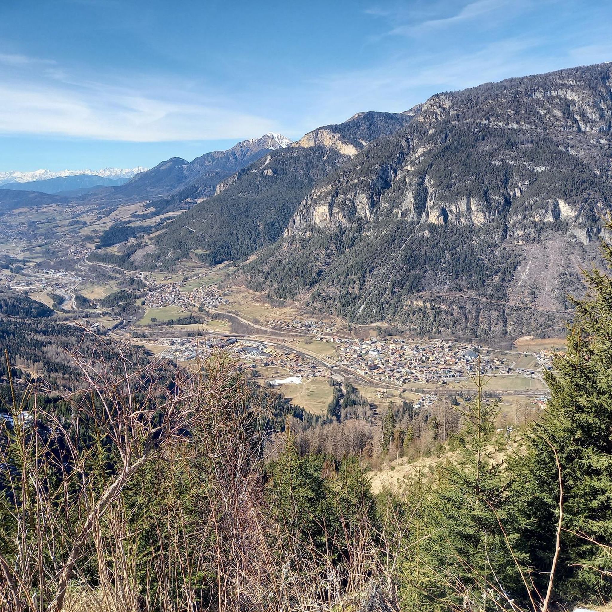
Cycling around Ziano Di Fiemme
Mountain Hikes around Ziano Di Fiemme
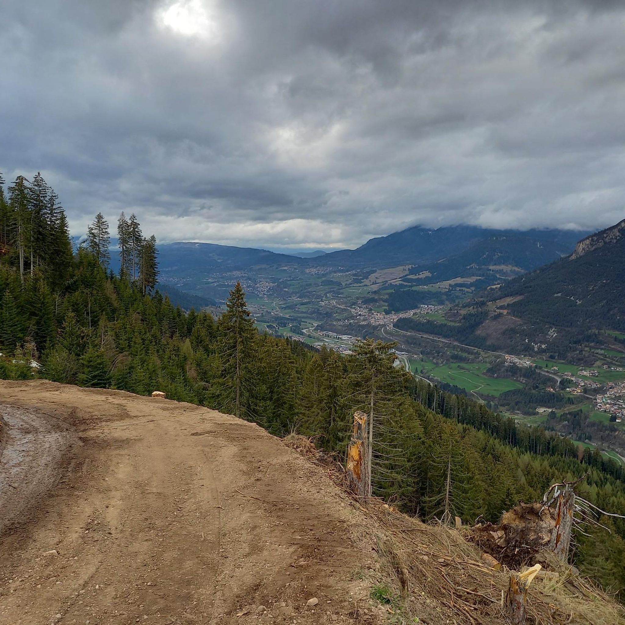
Running Trails around Ziano Di Fiemme

Gravel biking around Ziano Di Fiemme


Tips from the Community


A beautiful bivouac located in a very windy spot, with a spring reported nearby (which I didn't see)
0
0
I wonder if there are any trout, but I doubt it
0
0

Spectacular walk with views of the Lagorai mountain range
0
0

The Paolo e Nicola bivouac is located at 2,180 meters above sea level on the Valmaggiore pass. In its surroundings there are still remains of the First World War. The bivouac was built in 1974 in memory of Paolo and Nicola di Predazzo, who died on the Sella Group on 30 June of that year, and rebuilt in 2011 by the volunteers of the CTG "Lusia". Here it is possible to sleep (there are 9 beds) and cook, there is a water source a couple of hundred meters from the structure.
2
0
The Trout Lake is set in a valley with stony ridges at over 2,100 meters above sea level. The picturesque basin that houses the clear water basin is surrounded by the imposing peaks of the Lagorai chain.
0
0

Beautiful bivouac, space for tents outside, water point about a hundred metres away. Beautiful panorama!
1
0

It was an attempt; unfortunately a mistake in taking the road to Cima del Cauriol, first and secondly a violent storm made us give up. We were climbing in a clockwise direction, keeping to the left we failed to stay to the right and therefore climb up the saddle that remains between the small Cauriol and the Grande. We went towards a Forcella which coincides with the mule track of the Austrian Line. Arrived at a certain point, don't be convinced to turn around, we cut on the stony ground to go and take the marked path. Very risky, not advisable, I would say reckless. Once we rejoined the main path, however, the rain made us abort and at only 150m of altitude from the middle we resumed our way to the starting point. Ultimately I consider it an austere environment, imbued with a lot of suspense, almost surreal if you observe the segments of the profiles, the color of the rocks, this clean cut between the luxuriant nature of the pastures and woods, which becomes gray and severe conquest environment. treacherous terrain; uneven bottom. Affordable but long climb. Absolutely to conquer.
0
0
Frequently Asked Questions
How many hiking trails are available around Ziano di Fiemme?
There are over 30 hiking routes around Ziano di Fiemme, catering to various skill levels. This includes 8 easy trails, 13 moderate trails, and 10 difficult trails, ensuring options for everyone from casual walkers to experienced mountaineers.
What kind of landscapes can I expect to see while hiking in Ziano di Fiemme?
Hiking around Ziano di Fiemme offers diverse landscapes, from the dramatic peaks of the Dolomites and Lagorai Mountain Ranges to the serene Fiemme Valley with its ancient fir woodlands and verdant meadows. You'll also encounter alpine lakes and the Avisio river.
Are there any easy or family-friendly hiking options in the area?
Yes, Ziano di Fiemme offers several comfortable walks suitable for families and those seeking less strenuous activity. The path along the Avisio river is a great option, as are routes to discover ancient rock writings of shepherds. The region has 8 easy trails to choose from.
What are some challenging multi-day treks available?
For experienced hikers, the region offers challenging multi-day treks. A notable example is the TransLagorai from Primiero to Bivacco Paolo e Nicola, an 18.5 km difficult trail that takes over 9 hours to complete, offering a multi-day experience across the wild Lagorai Mountain Range.
Can I find circular hiking routes around Ziano di Fiemme?
Yes, there are circular routes available. For instance, the Rifugio Cauriol – Sadole Alpine Hut loop from Ziano di Fiemme is a moderate 9.4 km trail that offers a scenic circular experience.
What historical sites can be explored on the trails?
The region has a rich history, particularly from World War I. You can explore routes through old WWI war trails, offering a glimpse into history alongside scenic views. The Passo Sadole Trail to WWI trenches (via Route 302) is a moderate 11.1 km path leading through these historical sites.
Are there any notable viewpoints or panoramic trails?
Many trails in the Ziano di Fiemme area offer spectacular panoramic views. Routes leading to Monte Cornon and Corno Bianco (2,316m) provide 360-degree vistas of the Dolomites, Lagorai, Val di Fassa, and Val di Non Alps. The Lagorai Mountain Range itself is known for its dramatic scenery.
What is the best time of year to go hiking in Ziano di Fiemme?
The best time for hiking in Ziano di Fiemme is typically from late spring to early autumn (May to October), when the weather is mild, alpine pastures are flowering, and trails are generally clear of snow. Summer offers the warmest temperatures, while autumn brings stunning foliage.
What do other hikers enjoy most about hiking in Ziano di Fiemme?
The hiking routes in Ziano di Fiemme are highly rated by the komoot community, with an average score of 4.4 stars from over 700 reviews. Hikers often praise the majestic Dolomites, the rugged Lagorai Mountain Ranges, and the serene Fiemme Valley with its ancient woodlands, as well as the diverse options for all ability levels.
Are there any huts or refuges along the trails for breaks or overnight stays?
Yes, the region around Ziano di Fiemme has several huts and refuges. You can find places like Torre di Pisa Hut, Baita Passo Feudo, and Oberholz Mountain Hut, which can serve as excellent spots for a break or even an overnight stay on longer treks.
Is Ziano di Fiemme a good place to see wildlife?
Yes, the Paneveggio Nature Park, accessible from Ziano di Fiemme, is a haven for wildlife observation. It features ancient woodlands and is known for a diverse range of fauna, including red deer. Keep an eye out for local wildlife, especially in quieter areas and during dawn or dusk.
Are there any permits required for hiking certain trails?
Generally, permits are not required for day hiking on marked trails in the Ziano di Fiemme area. However, for specific multi-day treks or protected areas, it's always advisable to check with local tourist information or park authorities for any specific regulations or requirements.
Most popular routes around Ziano Di Fiemme
Most popular attractions around Ziano Di Fiemme

Get inspired with the komoot mobile app


Explore more
Browse the best Hikes in other regions.
