The best mountain hikes around Canal San Bovo
4.8
(38)
370
hikers
27
hikes
Mountaineering around Canal San Bovo provides access to the diverse and rugged terrain of Italy's Trentino region, situated within the Valle del Vanoi. The area is characterized by prominent mountain ranges such as the Cima d'Asta Group and the Lagorai Mountain Range, featuring peaks like Cima d'Arzon and Cima dei Paradisi. Extensive forests, alpine lakes, and historical World War I trails contribute to the varied landscape, offering a range of challenging ascents and scenic routes.
Best mountaineering routes around Canal…
Last updated: August 28, 2026
5.0
(4)
34
hikers
8.83km
04:49
780m
780m
Hard mountaineering route. Good fitness required. Sure-footedness, sturdy shoes and alpine experience required.
5.0
(1)
20
hikers
13.2km
08:14
1,320m
1,320m
Hard mountaineering route. Very good fitness required. Sure-footedness, sturdy shoes and alpine experience required.

Sign up for free
5.0
(1)
20
hikers
12.7km
06:12
1,180m
1,180m
Hard mountaineering route. Very good fitness required. Sure-footedness, sturdy shoes and alpine experience required.
5.0
(1)
12
hikers
8.48km
06:36
1,220m
1,220m
Hard mountaineering route. Very good fitness required. Sure-footedness, sturdy shoes and alpine experience required.
5.0
(1)
15
hikers
Hard mountaineering route. Very good fitness required. Sure-footedness, sturdy shoes and alpine experience required.
Get access to more routes and recommendations from other explorers.
Sign up for free
Already have an account?
Our route recommendations are based on thousands of hikes, rides, and runs completed by other people on komoot.
Start today with a free account
Your next adventure awaits.
Login or Signup
Popular around Canal San Bovo
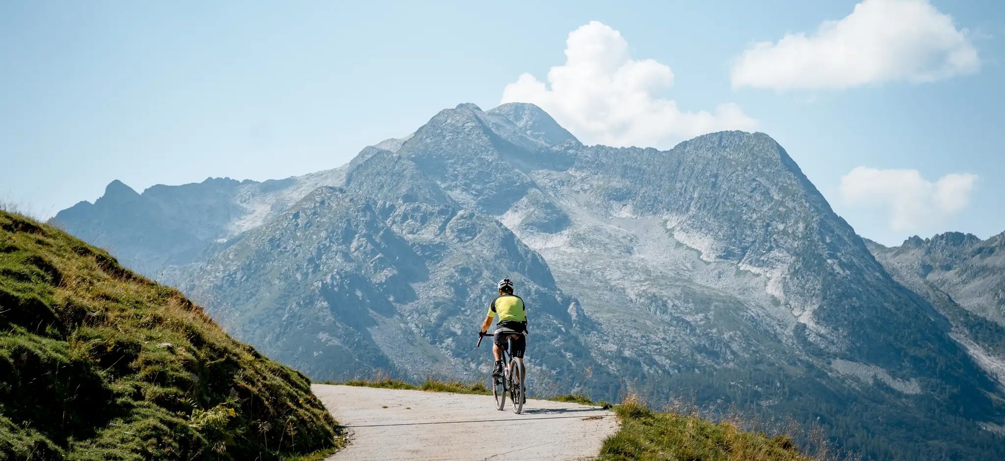
Gravel cycling in Trentino – The gateway to the Dolomites
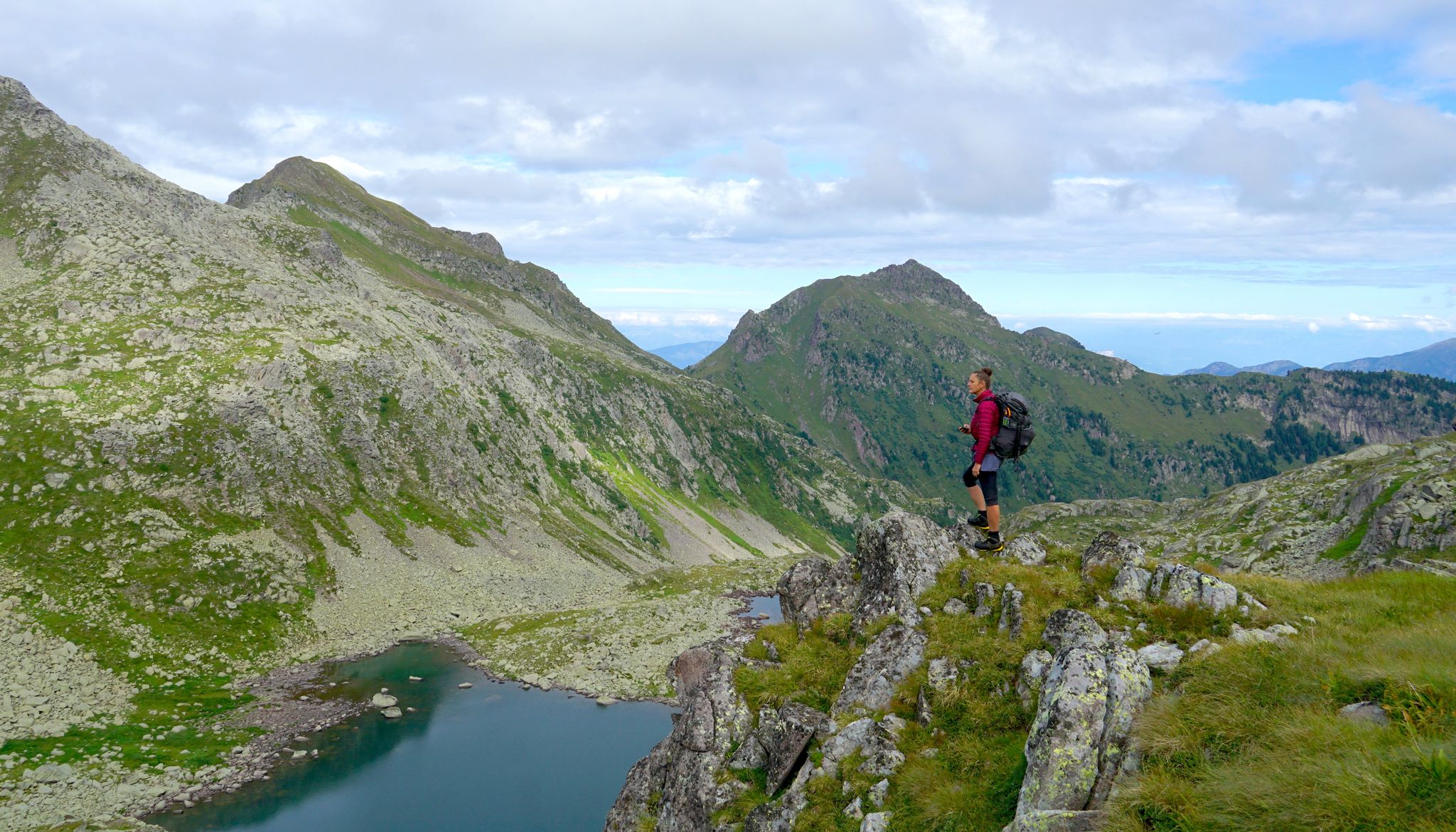
Translagorai – dreamy trekking through the wild heart of Trentino

The Path of Peace – journey into Trentino's history
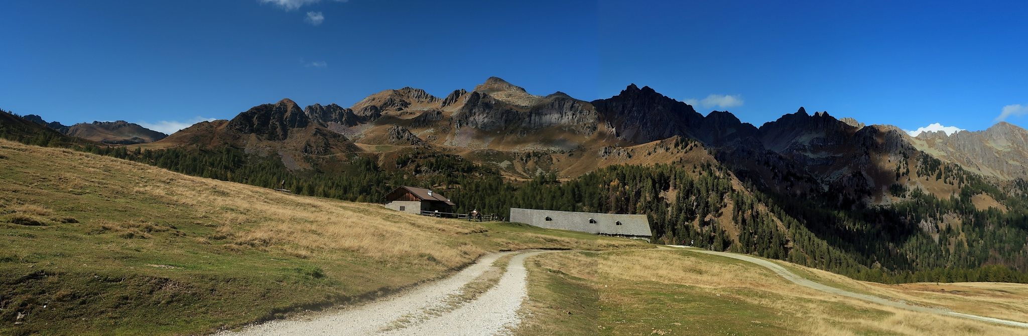
Cycling on Italy’s Tesino Plateau – around Cima d'Asta
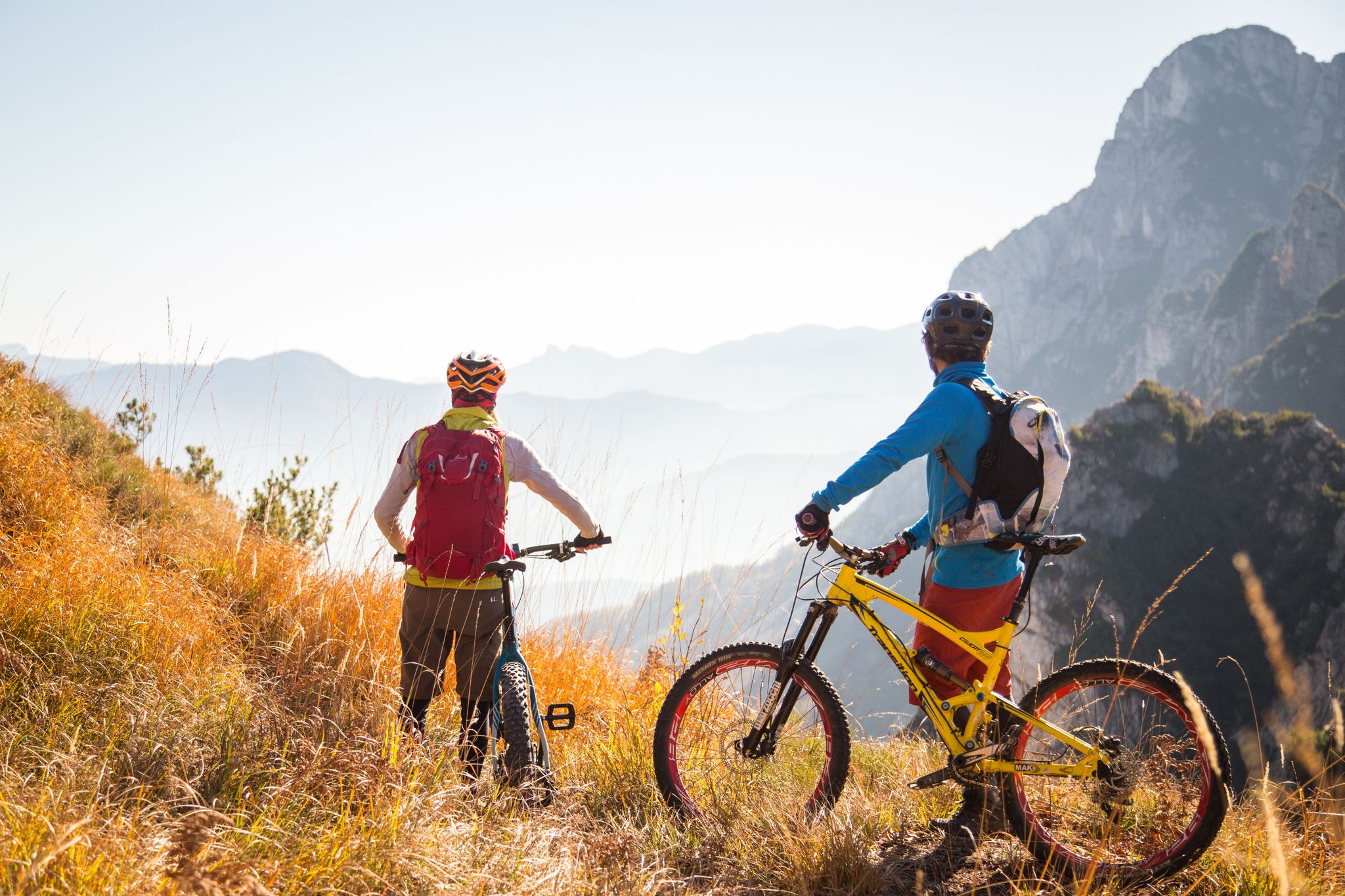
Fantastic autumnal cycling routes through Trentino – Italy’s MTB hotspot
Hiking around Canal San Bovo
MTB Trails around Canal San Bovo
Road Cycling Routes around Canal San Bovo
Running Trails around Canal San Bovo
Cycling around Canal San Bovo
Other adventures around Canal San Bovo


Tips from the Community

To be precise, Mount Coppolo, like its entire ridge, is entirely in Vicenza territory. The border passes 1 km further north.
0
0

hello an information since the bivouac was replaced at the end of 2025 I was interested to know if the route in question is valid for the new Fiamme Gialle bivouac, thanks!
0
0

For the view...which is "grandiose"
0
0

The Rifugio Velo della Madonna is located in the heart of the Pale di San Martino. It is a starting point for excursions and mountaineering routes, including the famous "Spigolo del Velo" route. The refuge offers hospitality with beds and a restaurant service, offering typical dishes of the local cuisine. It is open during the summer season, for more information: https://www.rifugiovelodellamadonna.it/
1
0

The summit of Vezzana, or more simply Vezzana, is the highest mountain of the Pale di San Martino (3,192 m above sea level) and is located on the border between the municipal territory of Canale d'Agordo and Primiero San Martino di Castrozza.
0
0

Excellently maintained bivouac at 3005m, it is encountered with great pleasure during the Bolber-Lugli via ferrata. Excellently maintained bivouac at 3005m, it is encountered with great pleasure during the Bolber-Lugli via ferrata.
0
0

La Vezzana, at 3192 meters, is the highest peak of the Pale di San Martino massif. Crowned by the statue of a virgin and a cross, it offers an infinite panoramic view of a sea of rocks. It's impossible to count the number of peaks seen from here, so take a few minutes to commit it to your memory.
2
2
It is a small unguarded and very simple shelter. It has nine beds and a small table in the center. It is located on a natural viewpoint that offers a fantastic view of the Cimon della Pala, the top of the Vezzana and the Rosetta, as well as many other peaks and the Valle di Primiero.
1
3
Frequently Asked Questions
How many mountaineering routes are available around Canal San Bovo?
There are over 30 mountaineering routes documented around Canal San Bovo on komoot. The majority of these, 29, are classified as difficult, with 3 moderate options also available.
Are there any via ferrata routes for mountaineering in the Canal San Bovo area?
Yes, the region offers challenging via ferrata experiences. One notable route is the Via Ferrata Pilastro dei Sei – Monte Coppolo loop from San Donato, which includes a via ferrata section on Monte Coppolo. Another is the Velo della Madonna Hut – Ferrata della Vecia loop from San Martino di Castrozza, leading through the Pale di San Martino area.
What kind of natural features can I expect to see on mountaineering routes near Canal San Bovo?
Mountaineering routes in this area often feature stunning alpine lakes, dense forests, and rugged mountain landscapes. You can explore picturesque spots like the Colbricon Lakes, which are part of the Laghi di Colbricon – Cavallazza loop from Passo Rolle, or the beautiful Lake Calaita. The Vanoi Valley is also known for its extensive forests.
Are there any historical sites or landmarks along the mountaineering trails?
Yes, many routes in the Lagorai mountain range traverse former World War I battlegrounds, offering a historical dimension to your trek. You can find sites like the Stoli del Totoga with panoramic walkway and the Cavallazza Tunnels and World War I Trenches, which are accessible from some trails.
What is the best time of year for mountaineering in Canal San Bovo?
The best time for mountaineering in Canal San Bovo is typically during the warmer months, from late spring to early autumn, when trails are clear of snow and weather conditions are more stable. However, the region also offers winter activities like ski mountaineering and snowshoeing for experienced individuals.
Are there any mountaineering routes that offer panoramic views?
Absolutely. The Laghi di Colbricon – Cavallazza loop from Passo Rolle offers excellent views from Cavallazza. Peaks like Cima d'Asta and Cima Cauriol in the Lagorai range are renowned for their panoramic vistas of the surrounding Dolomites and the Paneveggio-Pale di San Martino Nature Park.
What do other mountaineers say about the routes in Canal San Bovo?
The mountaineering routes around Canal San Bovo are highly regarded by the komoot community, with an average rating of 4.8 stars from over 45 reviews. Users often praise the challenging nature of the trails, the stunning natural beauty, and the sense of wilderness in the Lagorai mountain range.
Are there any mountain huts or refuges accessible from the mountaineering routes?
Yes, some routes provide access to mountain huts. For example, the Velo della Madonna Hut – Ferrata della Vecia loop from San Martino di Castrozza includes the Velo della Madonna Hut. The Colbricon Lakes also have a refuge nearby, offering a place to rest or stay overnight.
Do I need any special permits for mountaineering in the Canal San Bovo area?
Generally, for standard hiking and mountaineering on marked trails within the Paneveggio-Pale di San Martino Nature Park, specific permits are not required. However, for via ferrata routes, appropriate equipment and experience are essential. Always check local regulations for any specific areas or activities, especially if you plan to deviate from established paths.
What are some of the highest peaks accessible for mountaineering near Canal San Bovo?
The region is part of the Lagorai mountain range and the Cima d'Asta Group. Notable peaks include Cima d'Asta, Cima Cauriol, and Cima Cece. The Bivacco Paolo e Nicola – Cima Cece Summit (2,754 m) loop from Abeti rossi di risonanza offers an ascent to Cima Cece, one of the higher summits in the area.
Can I find circular mountaineering routes in Canal San Bovo?
Yes, many of the mountaineering routes in the area are designed as loops, allowing you to start and end at the same point. Examples include the Via Ferrata Pilastro dei Sei – Monte Coppolo loop from San Donato and the Laghi di Colbricon – Cavallazza loop from Passo Rolle.
Most popular routes around Canal San Bovo
Most popular attractions around Canal San Bovo

Get inspired with the komoot mobile app


Explore more
Browse the best Mountain Hikes & Routes in other regions.
