The best mountain hikes around Cinte Tesino
4.6
(13)
100
hikers
7
hikes
Mountaineering routes around Cinte Tesino are situated within the Trentino region, characterized by the impressive Lagorai mountain chain and the Cima d'Asta massif. The area features diverse landscapes including extensive woods on the Tesino plateau, dramatic gorges like that of the River Grigno, and various peaks offering challenging ascents. Rock climbing opportunities are also present, complementing the rugged mountainous terrain.
Best mountaineering routes around Cinte Tesino
- The most popular mountaineering route is Cima d'Asta summit – Lago di Cima d'Asta…
Last updated: July 4, 2026
4.7
(7)
38
hikers
Hard mountaineering route. Good fitness required. Sure-footedness, sturdy shoes and alpine experience required.
5.0
(3)
32
hikers
Hard mountaineering route. Good fitness required. Sure-footedness, sturdy shoes and alpine experience required.

Sign up for free
4.0
(3)
9
hikers
Hard mountaineering route. Very good fitness required. Sure-footedness, sturdy shoes and alpine experience required.
7
hikers
8.83km
03:49
470m
470m
Moderate mountaineering route. Good fitness required. Mostly accessible paths. Sure-footedness required.
5
hikers
9.15km
04:15
670m
670m
Moderate mountaineering route. Good fitness required. Mostly accessible paths. Sure-footedness required.
Get access to more routes and recommendations from other explorers.
Sign up for free
Already have an account?
Our route recommendations are based on thousands of hikes, rides, and runs completed by other people on komoot.
Start today with a free account
Your next adventure awaits.
Login or Signup
Tips from the Community

A point of reflection on all the misfortunes that unfortunately happen in the mountains and while cycling, despite experience
0
0

The "Colonel Bozzano" shelter is the result of the recovery work of a war barrack and is located a few meters below Cima Socede, at an altitude of 2,173 metres. It has a table and benches, but has no bunks and does not have water or a fire point. It is named after Santo Ettore Bozzano, a lieutenant colonel who died from a hand grenade during the First World War.
1
0

Magnificent fork that offers a fantastic panorama, nestled between the granite spiers of Cima d'Asta.
0
0
One of the most popular starting points for undertaking magnificent excursions towards Cima d'Asta. Great food and friendly, helpful staff.
0
1

Wonderful place, as is the path to get there from Lagorai lake
0
0

Lago delle Buse is a small alpine lake of glacial origin located at 2,066 meters above sea level near Passo Manghen. Near the lake, near the surrounding paths, there are still ruins from the First World War. If you have enough time for a detour to reach the shores of the lake, you can enjoy a well-deserved break.
0
0
The Zoliera pass is located at over 2,200 meters above sea level and offers a splendid panorama of the valley. Here, there are still several traces of the First World War and a cross in memory of the Tyrolean Standschützen (company of riflemen). During the Great War, in fact, these areas were occupied by Austro-Hungarian soldiers, who controlled the Calamento and Campelle valleys from these positions.
1
0
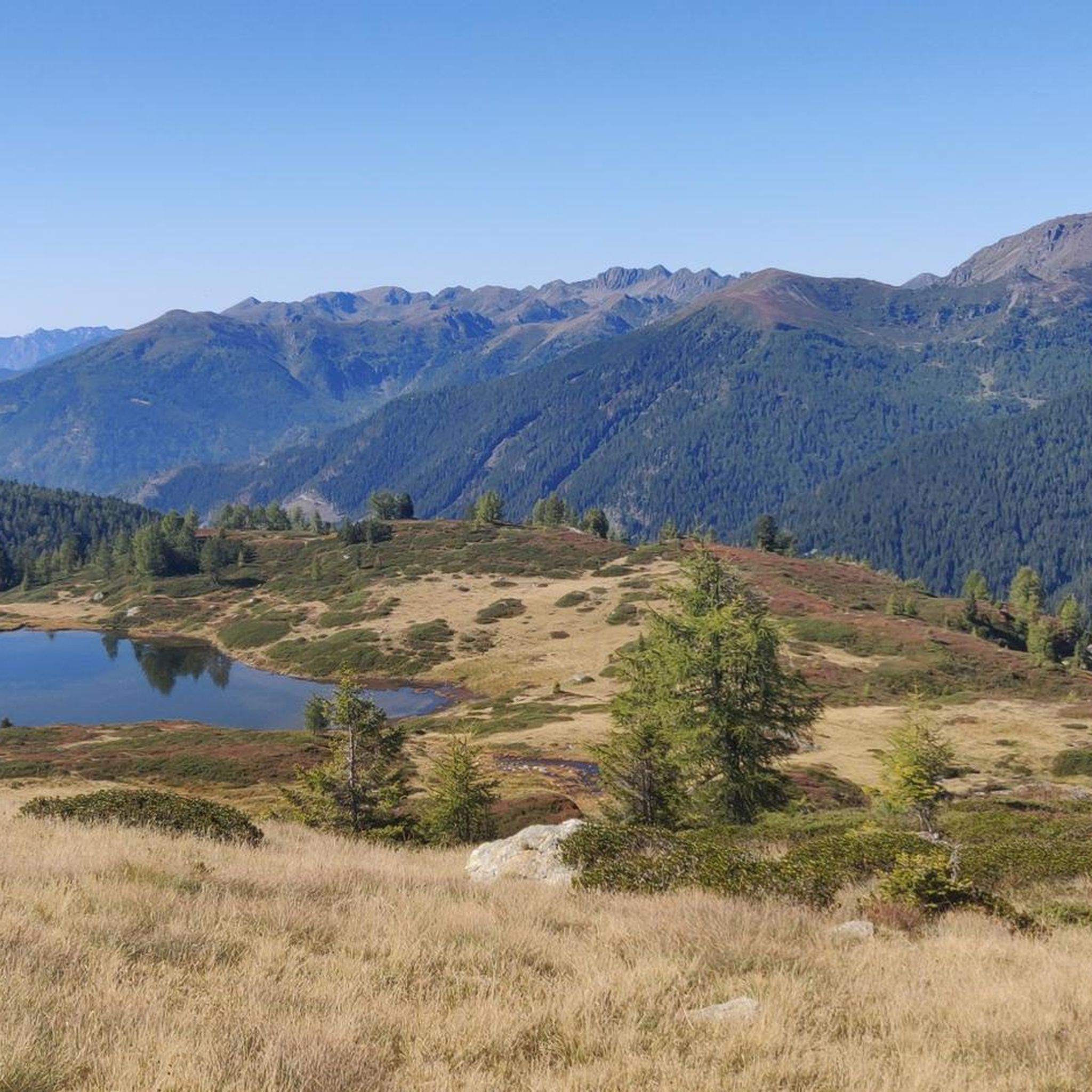
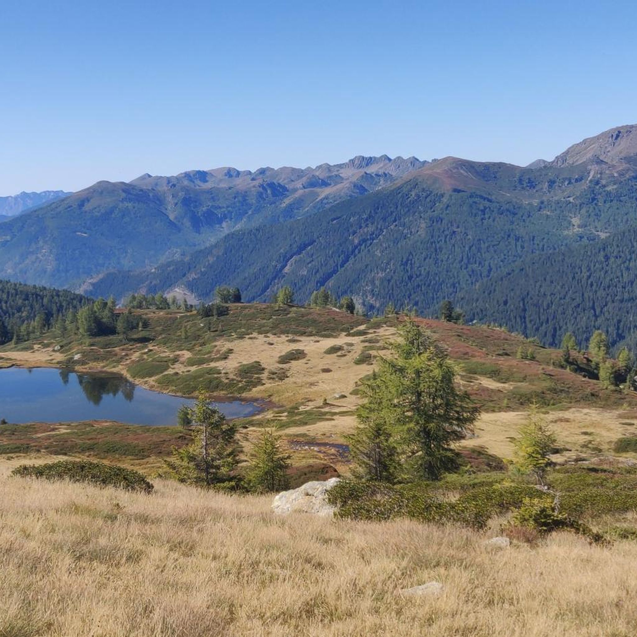
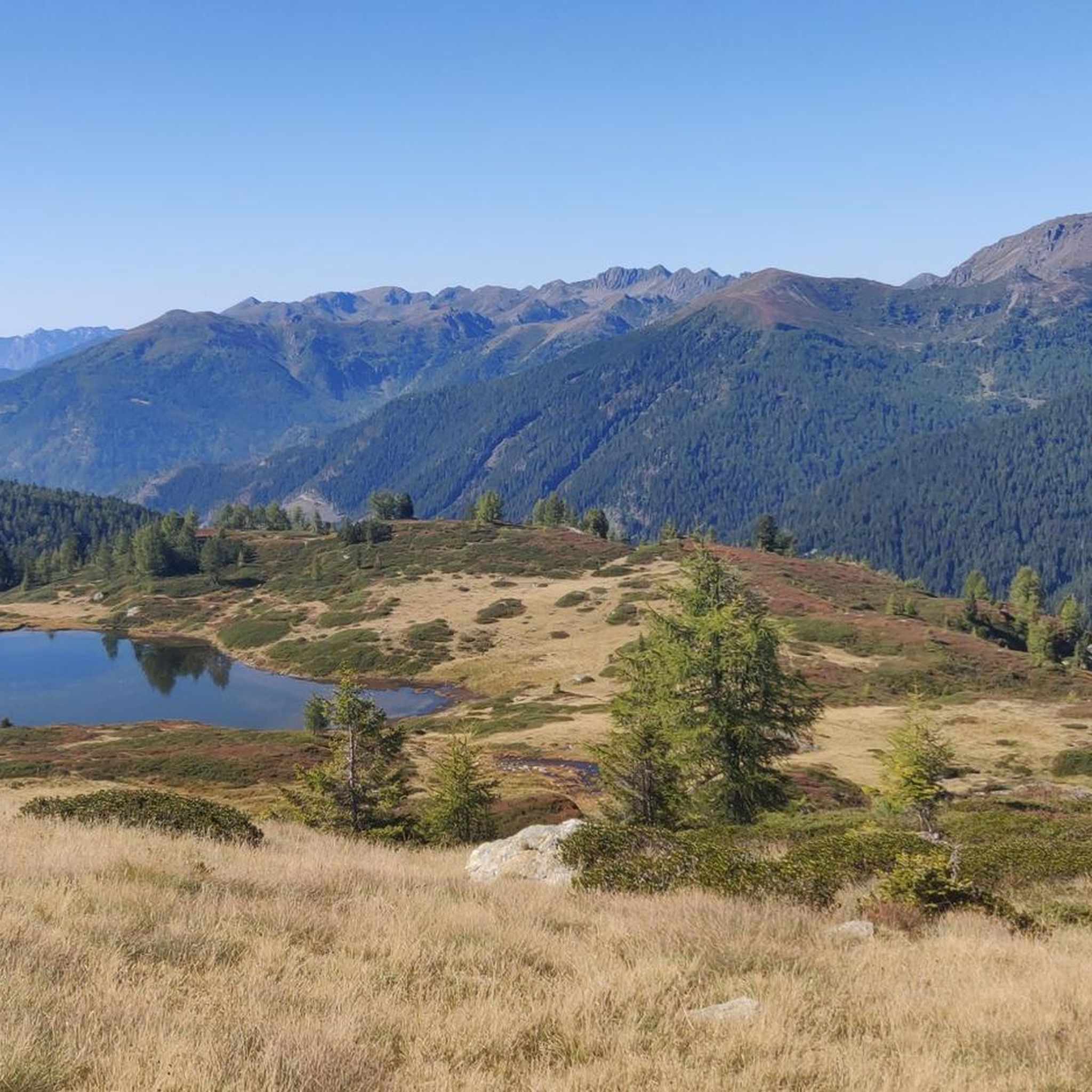
The three lakes of Bombasel are small but suggestive alpine basins set in wild nature. They are located in the Lagorai valley and offer a spectacular view of the Dolomites. This is a perfect spot to enjoy a well-deserved break.
0
0
Frequently Asked Questions
What types of mountaineering routes can I find around Cinte Tesino?
Cinte Tesino offers a diverse range of mountaineering routes, primarily within the rugged Lagorai mountain chain and the Cima d'Asta massif. You'll find routes ranging from moderate to difficult, with many featuring significant elevation gains and alpine landscapes. Some routes include challenging sections like via ferratas, while others lead to prominent summits offering panoramic views.
Are there any moderate mountaineering routes suitable for less experienced climbers?
Yes, while many routes are difficult, there are a few moderate options. For instance, the Cima Socede – Passo Cinque Croci loop from Val Campelle is a moderate route covering about 9 km with a significant ascent, offering a good challenge without the extreme difficulty of some other trails.
What are some of the most challenging mountaineering routes in the area?
For experienced mountaineers, routes like the Cima d'Asta summit – Lago di Cima d'Asta loop from Bacino di Sorgazza offer a demanding ascent to the prominent Cima d'Asta summit. Another difficult option is the Via Ferrata Pilastro dei Sei – Monte Coppolo loop from San Donato, which includes a via ferrata section and views of Monte Coppolo.
What natural landmarks or viewpoints can I expect to see on these routes?
The region is rich in natural beauty. You can expect stunning views of the Lagorai Mountain Range, including summits like Monte Coppolo and Cima d'Asta. Highlights such as Lake Calaita, a serene alpine lake, and the Rifugio Cima d'Asta Ottone Brentari, a key starting point for Cima d'Asta, are notable features. The scenic gorge of the River Grigno and the historic Ponte del Diavolo are also significant natural attractions in the broader area.
Are there any circular mountaineering routes available?
Yes, several routes are designed as loops, allowing you to start and end at the same point. Examples include the Cima d'Asta summit – Lago di Cima d'Asta loop from Bacino di Sorgazza and the Lago di Costa Brunella – Forcella Orsera loop from Bacino di Sorgazza, both offering comprehensive tours of alpine landscapes.
What is the best time of year for mountaineering in Cinte Tesino?
The best time for mountaineering in Cinte Tesino is typically during the warmer months, from late spring to early autumn (June to September), when trails are generally free of snow and weather conditions are more stable. Always check local weather forecasts and trail conditions before heading out, especially for higher alpine routes.
What do other mountaineers say about the routes in Cinte Tesino?
The mountaineering routes around Cinte Tesino are highly regarded by the komoot community, with an average rating of 4.8 stars from over 20 reviews. Users often praise the challenging ascents, the stunning alpine scenery of the Lagorai chain, and the well-maintained trails that lead to prominent peaks like Cima d'Asta.
Are there any specific permits required for mountaineering in the Lagorai or Cima d'Asta area?
Generally, no specific permits are required for hiking and mountaineering on established trails in the Lagorai or Cima d'Asta area. However, it's always advisable to check with local tourist information centers or park authorities for any specific regulations, especially if you plan to access protected areas or engage in activities like rock climbing.
Is public transport available to reach the trailheads around Cinte Tesino?
While Cinte Tesino is accessible by public transport, direct connections to specific remote trailheads for mountaineering can be limited. It's often recommended to use a car for maximum flexibility to reach starting points like Bacino di Sorgazza or San Donato. For general transport information to the region, you can consult resources like visittrentino.info.
Are the mountaineering routes around Cinte Tesino suitable for families with children?
Most mountaineering routes in Cinte Tesino are rated moderate to difficult, involving significant elevation gain and rugged terrain, making them less suitable for young children. However, the broader Tesino plateau offers easier walks and an adventure park with activities for all ages. For specific family-friendly hiking options, look for trails explicitly marked as easy or suitable for families, which may not be classified as mountaineering.
Can I bring my dog on the mountaineering trails?
Dogs are generally allowed on hiking and mountaineering trails in the Trentino region, but they must be kept on a leash, especially in protected areas or near livestock. Always ensure your dog is well-behaved, physically capable of handling the terrain, and that you carry waste bags. Check for any specific local regulations or restrictions before you go.
Most popular routes around Cinte Tesino
Most popular attractions around Cinte Tesino

Get inspired with the komoot mobile app


Explore more
Browse the best Mountain Hikes & Routes in other regions.
