The best walks and hikes around Schallodenbach
4.6
(889)
4,800
hikers
18
hikes
Hiking around Schallodenbach offers access to varied terrain within the Kaiserslautern district of Germany. The region features rolling hills and expansive forests, providing a dynamic experience for hikers. Situated on the edge of the Palatinate Forest, Schallodenbach provides direct access to one of Germany's largest contiguous forest areas. The "Alte Welt" region, characterized by a blend of forests and open vistas, also defines the local landscape.
Best hiking trails around Schallodenbach
- The most popular hiking route is Forest Classroom –…
Last updated: May 12, 2026
4.8
(43)
135
hikers
14.1km
04:01
320m
320m
Moderate hike. Good fitness required. Easily-accessible paths. Suitable for all skill levels.
4.5
(8)
25
hikers
10.1km
02:51
230m
230m
Moderate hike. Good fitness required. Easily-accessible paths. Suitable for all skill levels.

Sign up for free
4.0
(6)
14
hikers
12.3km
03:27
240m
240m
Moderate hike. Good fitness required. Easily-accessible paths. Suitable for all skill levels.
4.0
(1)
8
hikers
4.42km
01:20
140m
140m
Easy hike. Great for any fitness level. Easily-accessible paths. Suitable for all skill levels.
7
hikers
10.4km
02:49
140m
140m
Moderate hike. Good fitness required. Easily-accessible paths. Suitable for all skill levels.
Get access to more routes and recommendations from other explorers.
Sign up for free
Already have an account?
Our route recommendations are based on thousands of hikes, rides, and runs completed by other people on komoot.
Start today with a free account
Your next adventure awaits.
Login or Signup

Tips from the Community

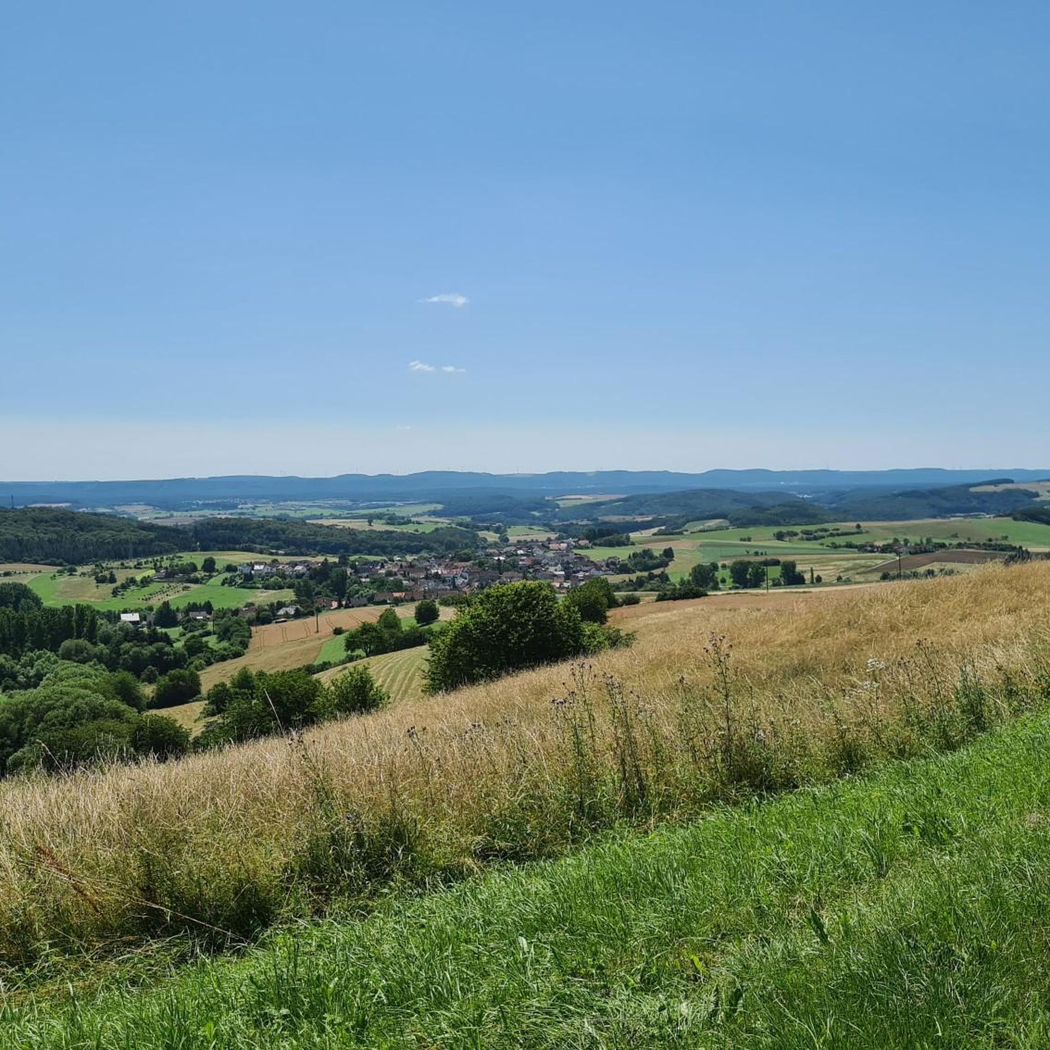
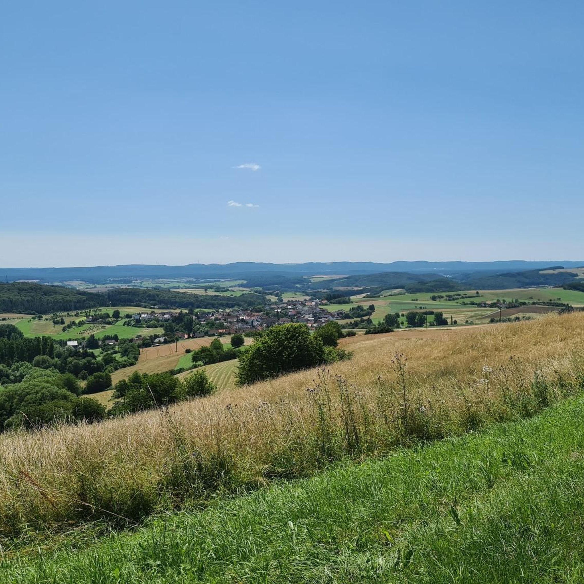
Great view over Schallodenbach
1
0


Great view in every season
0
0

The hut is open every Sunday from April to October, with a few exceptions, from 11:00 a.m. to 6:00 p.m
1
0

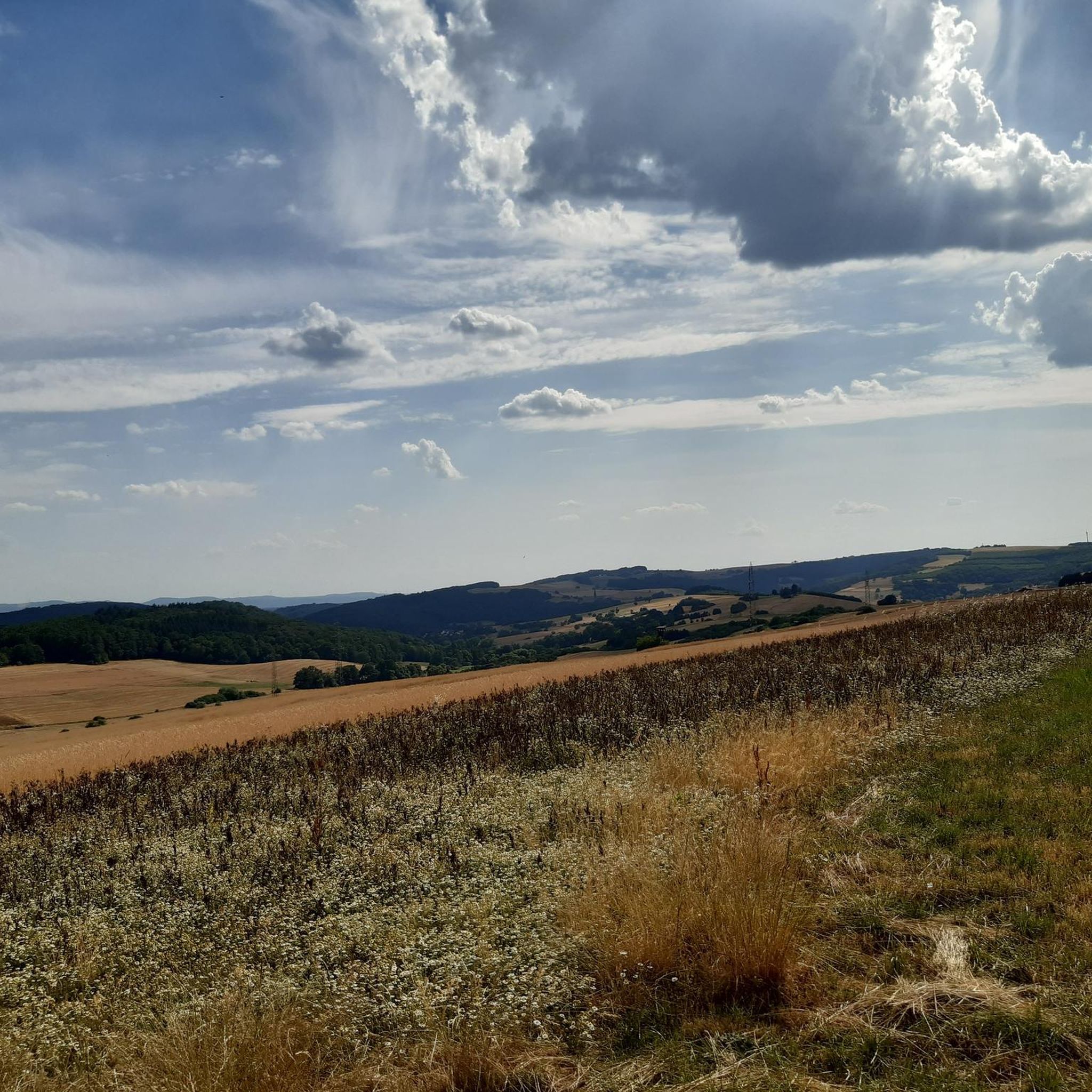
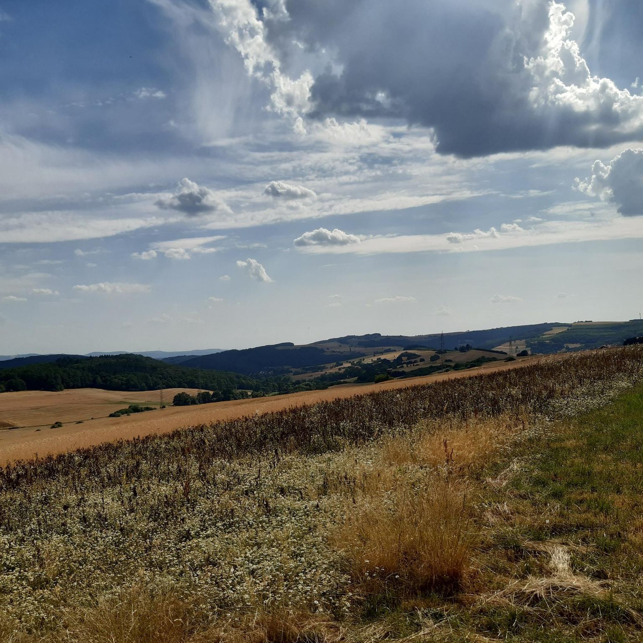
The high-altitude stretch is simply awesome!
1
0

Wonderful view into the distance a nice place to rest
2
0

A nice informative trail.
2
0
Frequently Asked Questions
How many hiking trails are available around Schallodenbach?
There are nearly 20 hiking routes around Schallodenbach, offering a variety of experiences. These include 10 easy trails and 8 moderate trails, ensuring options for different fitness levels.
What kind of landscapes can I expect to see while hiking near Schallodenbach?
The region around Schallodenbach is characterized by rolling hills and expansive forests, providing a dynamic hiking experience. You'll find yourself on the edge of the Palatinate Forest, one of Germany's largest contiguous forest areas, and traverse the charming 'Alte Welt' landscape with its blend of woodlands and open vistas.
Are there any circular hiking routes in Schallodenbach?
Yes, many of the hiking routes around Schallodenbach are circular, allowing you to start and end at the same point. For example, the Forest Classroom – Reiserberg Sundial loop from Schallodenbach is a popular circular trail that takes you through forest areas and towards the notable Reiserberg sundial.
Are there any easy or family-friendly hiking options?
Absolutely. Schallodenbach offers 10 easy hiking trails suitable for beginners or families. A great option is the Sundial on the Reiserberg – Reiserberg Sundial loop from Schallodenbach, which is a shorter, less strenuous path focusing on the Reiserberg sundial.
What unique attractions or landmarks can I find along the hiking trails?
A standout attraction is the Planet Trail, which illustrates the distances of our solar system and leads up to the Reiserberg, where you can find a walkable sundial. You might also encounter the Selberg Tower offering panoramic views, or the Königsberg Summit.
Are there any viewpoints or scenic spots on the trails?
Yes, several routes offer scenic views. The View of Schallodenbach – Reiserberg Sundial loop from Schallodenbach is specifically known for providing picturesque views of the village and surrounding landscape. The Selberg Tower is also a popular viewpoint.
Can I find places to rest or eat along the hiking routes?
Yes, the region has options for breaks. The Olsbrücken Circular Hiking Route, for instance, leads to the Palatinate Forest hut in Olsbrücken, which is a great spot to rest. You can also find places like the Igelborner Hut or PWV Hut Otterbach "Im Himmelreich" in the wider area.
What do other hikers enjoy most about the trails in Schallodenbach?
The trails in Schallodenbach are highly rated by the komoot community, with an average score of 4.5 stars from over 871 reviews. Hikers often praise the varied terrain, the peaceful forest sections, and the unique attractions like the Reiserberg sundial, making for a rewarding outdoor experience.
Are there any trails that follow water features?
Yes, you can find routes that incorporate water features. The Along the Odenbach – Reiserberg Sundial loop from Schallodenbach follows the Odenbach river. Additionally, nearby lakes and ponds like Vogelwoog and Schallbrunnerweiher offer tranquil natural settings.
Are there any longer, more challenging hikes available?
While there are no 'difficult' graded trails directly listed, several moderate routes offer longer distances and more elevation gain for those seeking a greater challenge. For example, the View of Schallodenbach – View of Donnersberg loop from Schallodenbach covers over 12 kilometers with significant elevation changes.
What is the best time of year to go hiking in Schallodenbach?
Schallodenbach offers enjoyable hiking throughout much of the year. Spring brings lush greenery, while autumn showcases vibrant fall foliage across the forests and hills. The varied terrain and forest cover provide pleasant conditions even on warmer days, and the region can be explored in winter, though some paths might be more challenging.
Most popular routes around Schallodenbach
Most popular attractions around Schallodenbach

Get inspired with the komoot mobile app


Explore more
Browse the best Hikes in other regions.
