The best walks and hikes around Steingaden
4.6
(18934)
67,668
hikers
104
hikes
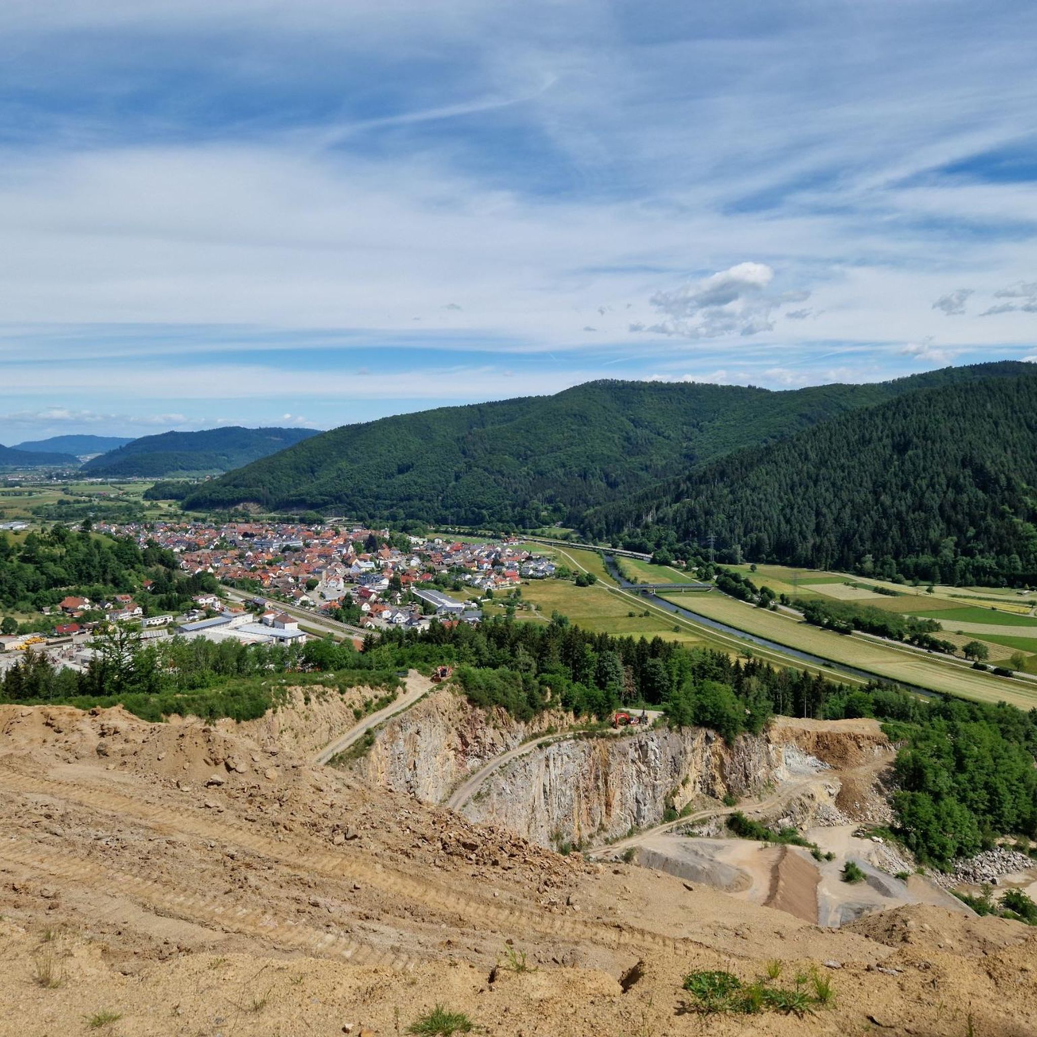
Hiking around Steinach in the Black Forest region offers diverse landscapes, from the wide Kinzig Valley to dense forests and rolling hills. The area is characterized by picturesque valleys, well-kept farmhouses, and a mix of forests and grasslands. Trails often feature views over the Kinzig River and its surrounding natural features.
Best hiking trails in Steinach
- The most popular hiking route is Kreuzbühl Pavilion Viewpoint – Schirrmaier Hut loop from Steinach (Baden), a 7.1 miles (11.4 km) moderate trail…
Last updated: October 4, 2026
4.4
(45)
152
hikers
11.4km
03:22
320m
320m
Moderate hike. Good fitness required. Easily-accessible paths. Suitable for all skill levels.
4.8
(33)
123
hikers
Moderate hike. Good fitness required. Easily-accessible paths. Suitable for all skill levels.

4.8
(29)
65
hikers
Easy hike. Great for any fitness level. Easily-accessible paths. Suitable for all skill levels.
4.5
(22)
65
hikers
4.98km
01:24
100m
100m
Easy hike. Great for any fitness level. Easily-accessible paths. Suitable for all skill levels.
4.5
(13)
36
hikers
15.5km
04:28
370m
370m
Moderate hike. Good fitness required. Easily-accessible paths. Suitable for all skill levels.
Get access to more routes and recommendations from other explorers.
Already have an account?
Our route recommendations are based on thousands of hikes, rides, and runs completed by other people on komoot.
Start today with a free account
Your next adventure awaits.
Popular around Steinach
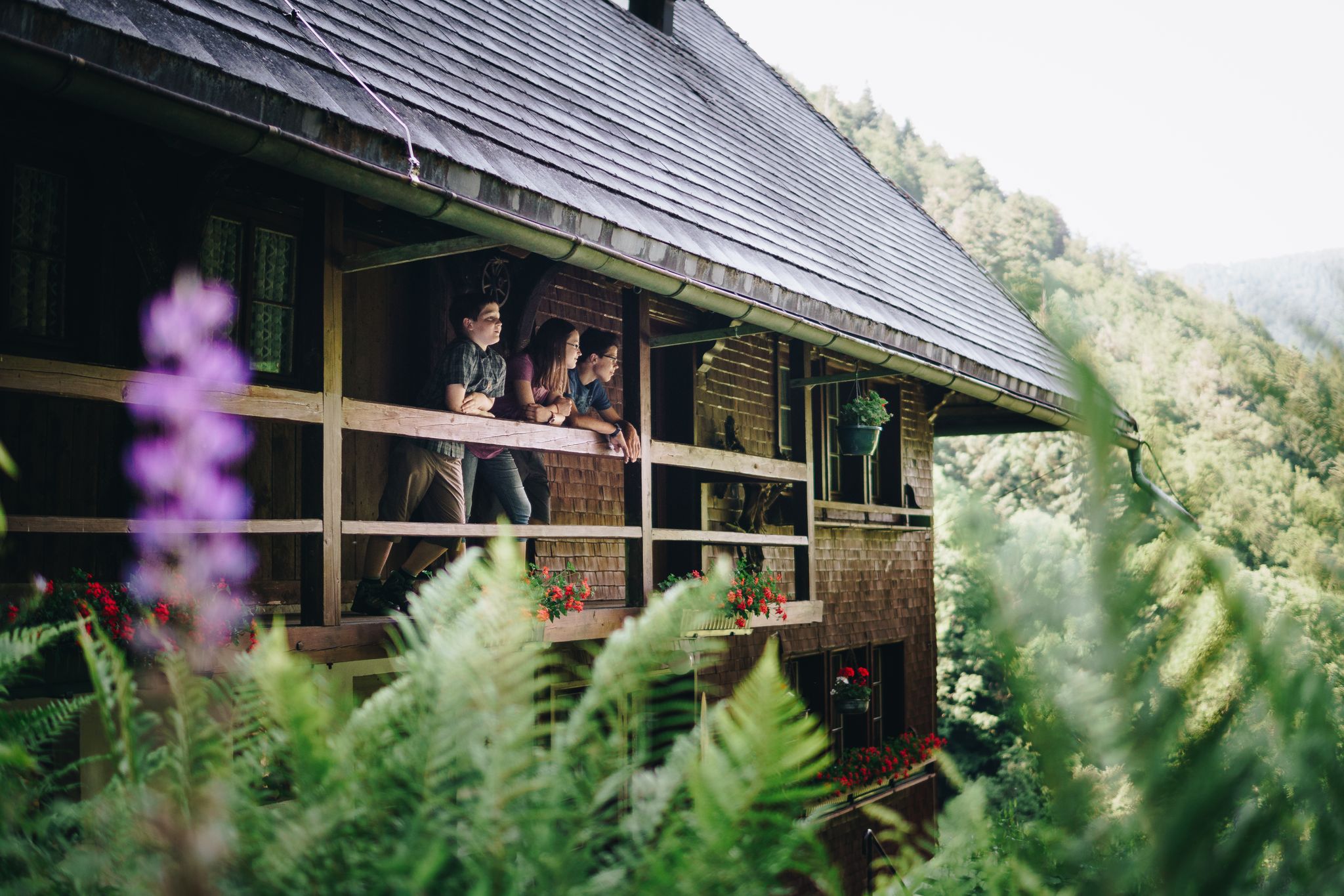
Kids in boots – the most beautiful family Tours in the Black Forest

Familien-Erlebnispfade – Mit den Kleinsten unterwegs im Kinzigtal
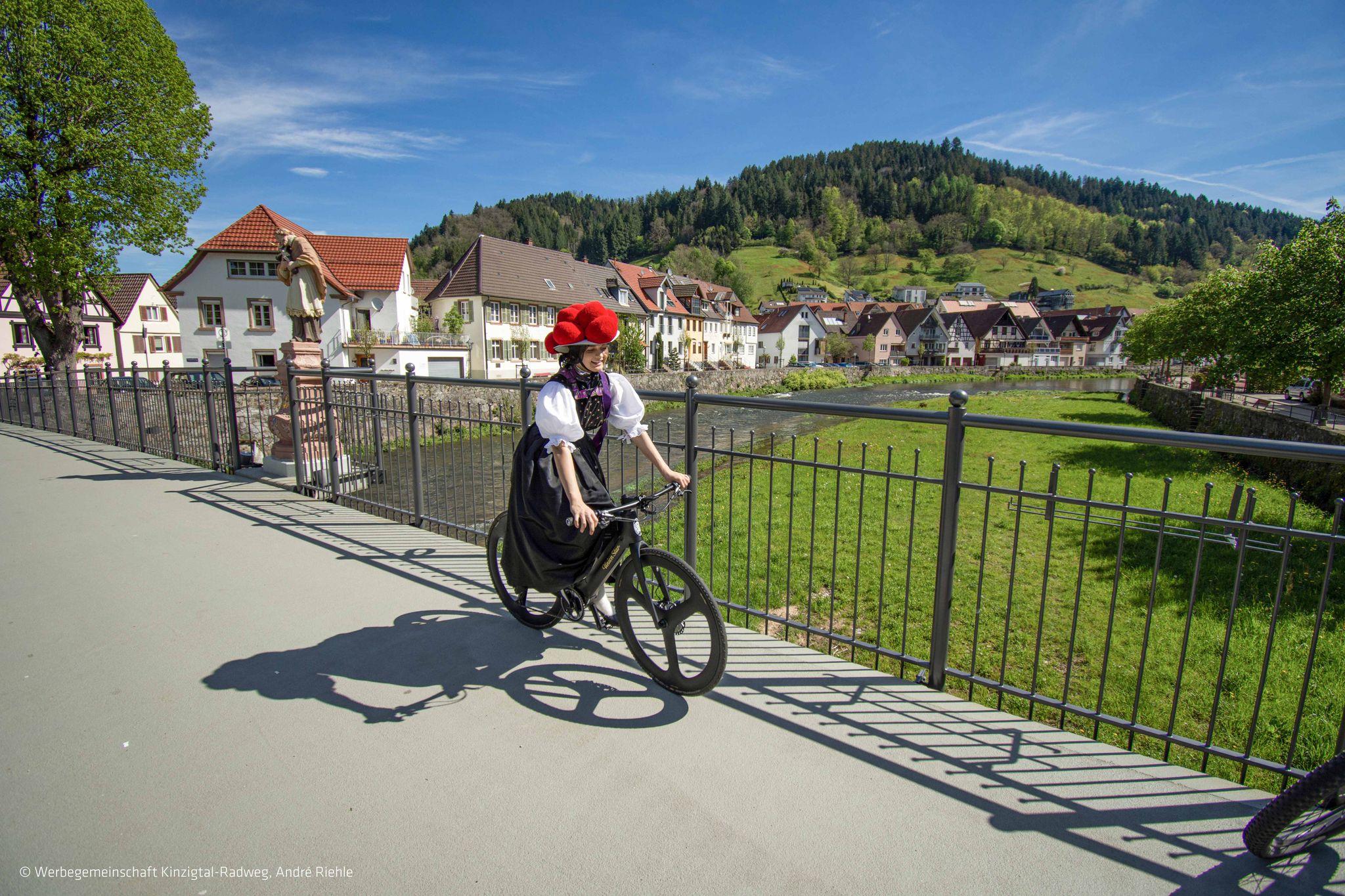
Rund ums Rad – im Kinzigtal
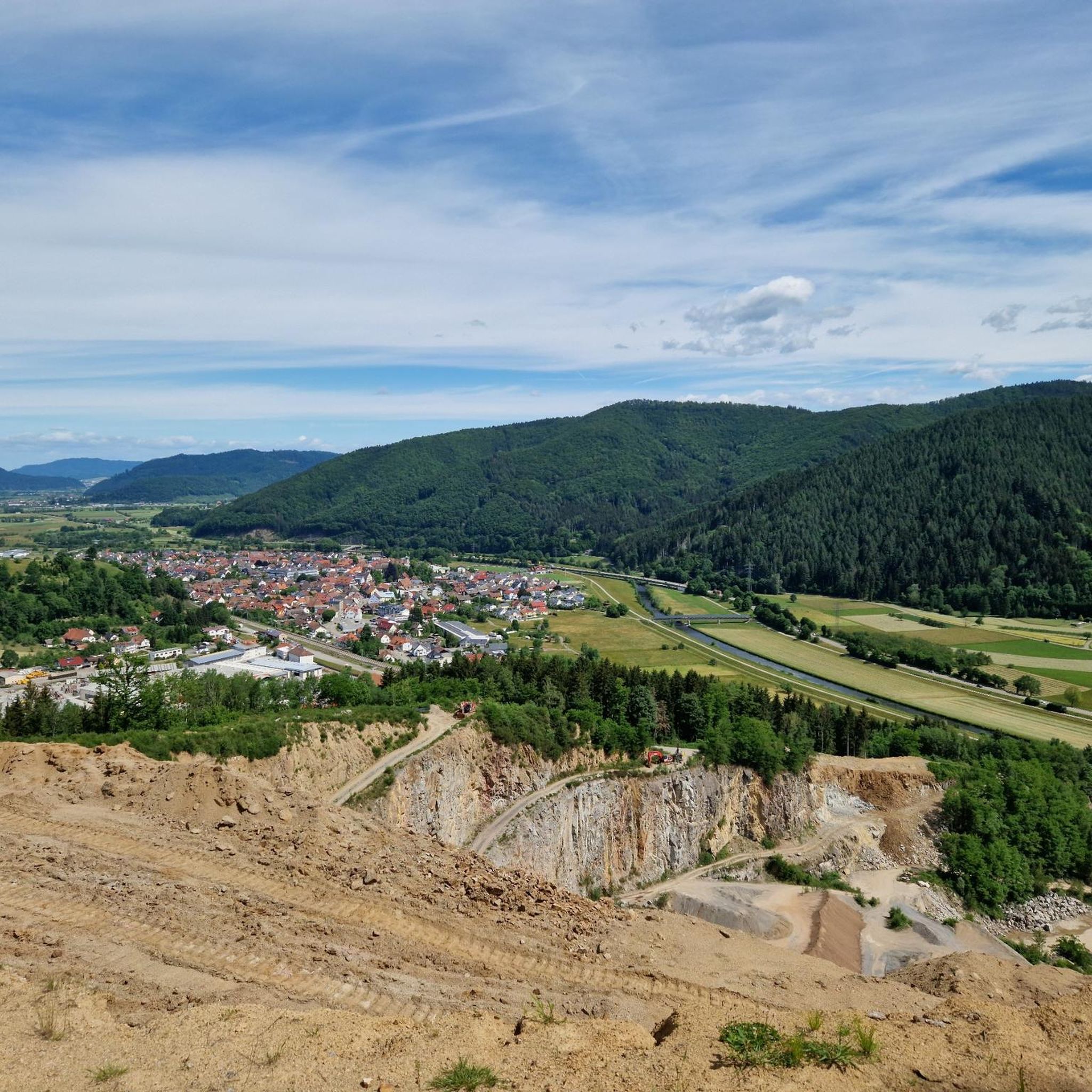
Road Cycling Routes around Steingaden
Cycling around Steingaden
MTB Trails around Steingaden
Running Trails around Steingaden
Gravel biking around Steingaden
Other adventures around Steingaden


Tips from the Community

According to old chronicles, the small house of God was built around the year 1740.
0
0
The Vögeles Mühle is a historic, elaborately renovated farm mill from 1835. It is idyllically located in the Niederbach district of Steinach (Kinzigtal) in the heart of the Black Forest. The water mill was in operation until 1966. The listed building can be admired from the outside at any time. Interior tours are possible by prior arrangement.
0
0
The "Dreibannstein" or also called "Dreimärker" is the geographical point where the three areas of equal nature, Schuttertal, Prinzbach, and Welschensteinach, meet. The center of these three areas forms the isosceles triangular shape of the historical boundary stone. Schuttertal and Prinzbach together form the largest part of the boundary stone and at the same time represent the tip of the triangle. On this tip of the boundary stone is the coat of arms of Geroldseck. On the other side of the boundary stone is the coat of arms of Fürstenberg. This contains an eagle in a cloud shield. The boundary stone was rebuilt in 1912, while the original from 1599 was moved to Donaueschingen.
0
0
The Schwedenschanze near Steinach (also known as Prinzbacher Eck) is a historical fortification on the ridge between the districts of Steinach / Welschensteinach, Prinzbach and the Schuttertal valley in the Central Black Forest. Despite the popular name "Schwedenschanze" – which is often mistakenly attributed to structures from the Thirty Years' War throughout the Black Forest – the star-shaped structure on the Prinzbacher Eck is likely a French field fortification from the late 17th century (around 1676). The planned, star-shaped form points to the French art of fortification from that period. The redoubt served as a defensive line and barrier along the passes and ridge routes across the Black Forest. At the location of the redoubt, the municipal boundaries of Welschensteinach (municipality of Steinach), Prinzbach (municipality of B
0
0
The granary of the Schwendeseppenhof To save the building from decay, it was completely restored in 2001 using old techniques. The masonry consists of rubble stones mortared with clay, the cellar ceiling was insulated with so-called clay wadding, and the roof was covered with straw (or reeds). The well-preserved fruit chests date from the 18th century, but the granary itself is much older. It now serves as a museum that shows how the farmers in the valley lived and worked in past centuries: agricultural equipment and tools, household items, the local costume, work clothes, and many photos. Items and pictures from school and religious life are also exhibited.
0
0
The Gasthaus & Pension Adler in Steinach (Kinzigtal) is a traditional inn, family-run for many generations, located in the heart of the village. History and Development Commercial and hospitality tradition since 1800: The property in the center of Steinach looks back on a history of more than 200 years. According to historical records, the property was taken over by the Halter family as early as 1800 and continued for generations as a farm and restaurant. As is common for many rural inns in the Black Forest and Kinzigtal, the "Adler" served for a long time not only as a place to eat and drink, but also at times as a post station and as a central meeting point for village festivals and local clubs.
0
0

I didn't really see any boundary stones here, but I did see a Schwedenschanze, which was more interesting.
0
0
I really liked that. Authentic with a great explanation 👍.
1
0
Frequently Asked Questions
How many hiking trails are available around Steinach?
There are over 100 hiking trails around Steinach in the Black Forest region, offering a wide variety of experiences. These include 49 easy, 49 moderate, and 9 difficult routes, catering to all fitness levels.
What kind of terrain can I expect when hiking in Steinach?
Hiking in Steinach, located in the Black Forest, offers diverse terrain. You'll find picturesque landscapes ranging from gentle hills to dense forests. Many trails wind through the wide Kinzig Valley, featuring well-kept farmhouses, mixed forests, grasslands, and arable land. Expect varied terrain with breathtaking vantage points.
Are there hiking trails suitable for beginners or families in Steinach?
Yes, Steinach offers many easy trails perfect for beginners or families. For example, the Rain Sticks Installation – Musician Photo Point loop from Steinach is an easy 2.0-mile (3.2 km) trail through local woodlands, typically completed in under an hour. There are 49 easy routes in total.
What are some notable landmarks or viewpoints along the hiking trails?
Hikers can discover several interesting landmarks and viewpoints. The Brandenkopf Lookout Tower and Panorama Frame Oberharmersbach offer expansive views. You might also encounter the historic Holy Well and Rudolfus Chapel or the Pioneer Stone Memorial. Many routes, like the Kreuzbühl Pavilion Viewpoint – Schirrmaier Hut loop, specifically highlight scenic overlooks.
Are there circular hiking routes available in Steinach?
Yes, many of the trails around Steinach are circular routes, allowing you to start and end at the same point. A popular example is the Bench with a view over Steinach – Kreuzbühl Pavilion Viewpoint loop, which offers scenic overlooks of Steinach and the surrounding valley.
What is the best time of year to go hiking in Steinach?
The best seasons for hiking in Steinach are generally spring and autumn. During these times, the weather is mild, and the natural scenery is at its most vibrant, whether it's the fresh greenery of spring or the colorful foliage of autumn. Summer also offers pleasant hiking, especially in the shaded forest areas.
Can I bring my dog on the hiking trails in Steinach?
Generally, dogs are welcome on hiking trails in the Black Forest region, including around Steinach. However, it's always recommended to keep your dog on a leash, especially in nature reserves, near livestock, or in areas with wildlife. Please be mindful of local regulations and other hikers.
What do other hikers enjoy most about the trails in Steinach?
The trails in Steinach are highly rated by the komoot community, with an average score of 4.6 stars from over 400 reviews. Hikers often praise the diverse landscapes, the well-maintained paths, and the stunning views over the Kinzig Valley and surrounding Black Forest scenery.
Are there any longer or more challenging hikes for experienced hikers?
Yes, for experienced hikers, there are more challenging options. The region offers 9 difficult routes. The Schirrmaier Hut – Kambacher Hut loop from Steinach is a longer, moderate route at 15.6 miles (25.2 km) that requires good stamina. The wider Black Forest region also features routes like the Ortenau Legendary Circular Route, known for its demanding sections.
Where can I find parking for the hiking trails in Steinach?
While specific parking details vary by trailhead, Steinach and its surrounding villages typically offer designated parking areas for hikers. Look for signs indicating 'Wanderparkplatz' (hiking parking) near popular trailheads or village centers. It's advisable to check local maps or komoot tour details for specific parking recommendations for your chosen route.
Are there any easy routes with good views?
Absolutely! The View of Welschensteinach – Kreuzplatz (445 m) loop from Schlossberg is an easy 3.1-mile (5.0 km) route that offers lovely views over Welschensteinach and the surrounding valley, making it a great option for a relaxed walk with scenic rewards.
Most popular routes around Steingaden
Most popular attractions around Steingaden

Get inspired with the komoot mobile app


Explore more
Browse the best Hikes in other regions.
