The best walks and hikes around Casteldelci
4.6
(1445)
5,025
hikers
319
hikes
Hiking around Casteldelci offers diverse terrain within its unspoiled Apennine landscape, characterized by mountainous elevations and ancient geological formations. The region is the hilliest in its province, with peaks reaching over 1,300 meters above sea level. River systems, including the sources of the Tiber and Marecchia rivers, contribute to a lush, green environment. This area features marly-arenaceous stratifications, providing a unique backdrop for outdoor activities.
Best hiking trails around Casteldelci
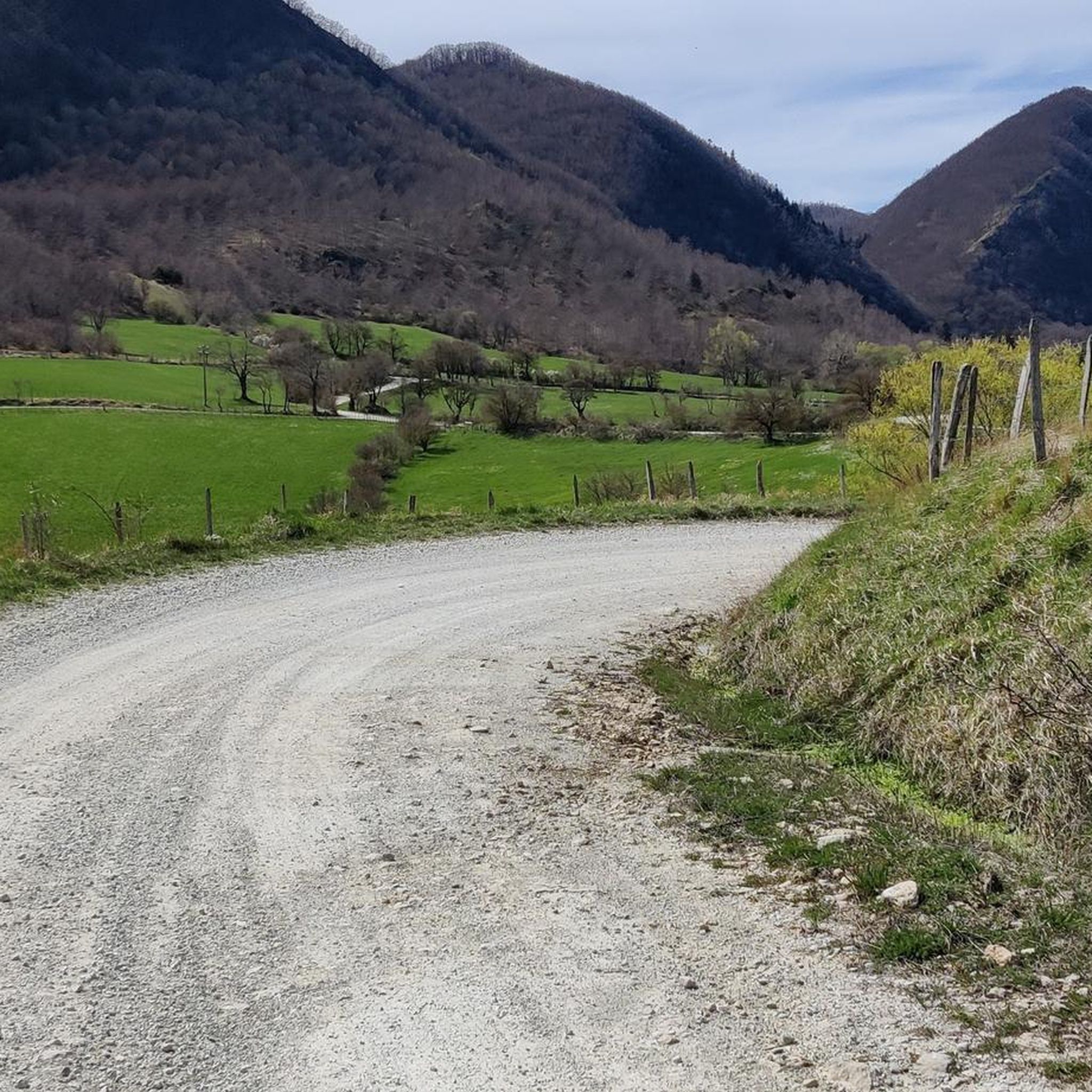
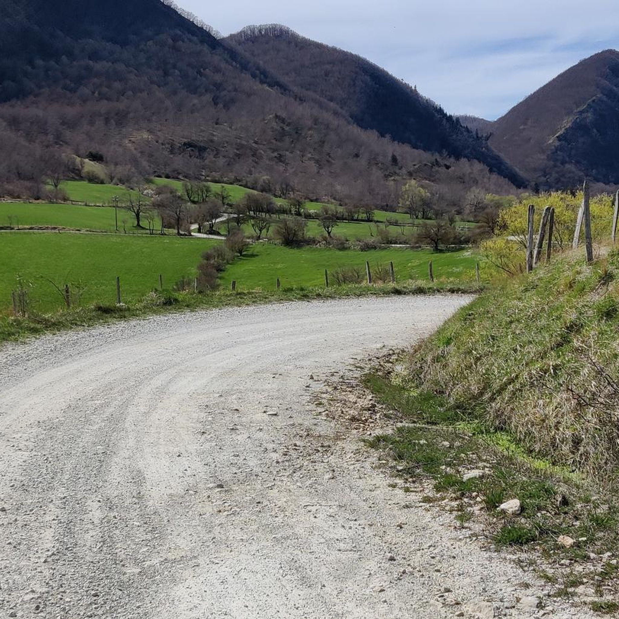
- The most popular hiking route is Source of the Tiber and Biancaneve refuge – loop tour, a 5.6 miles (9.0 km) moderate trail that takes 2 hours 55 minutes to complete, exploring the area around the Tiber's source.
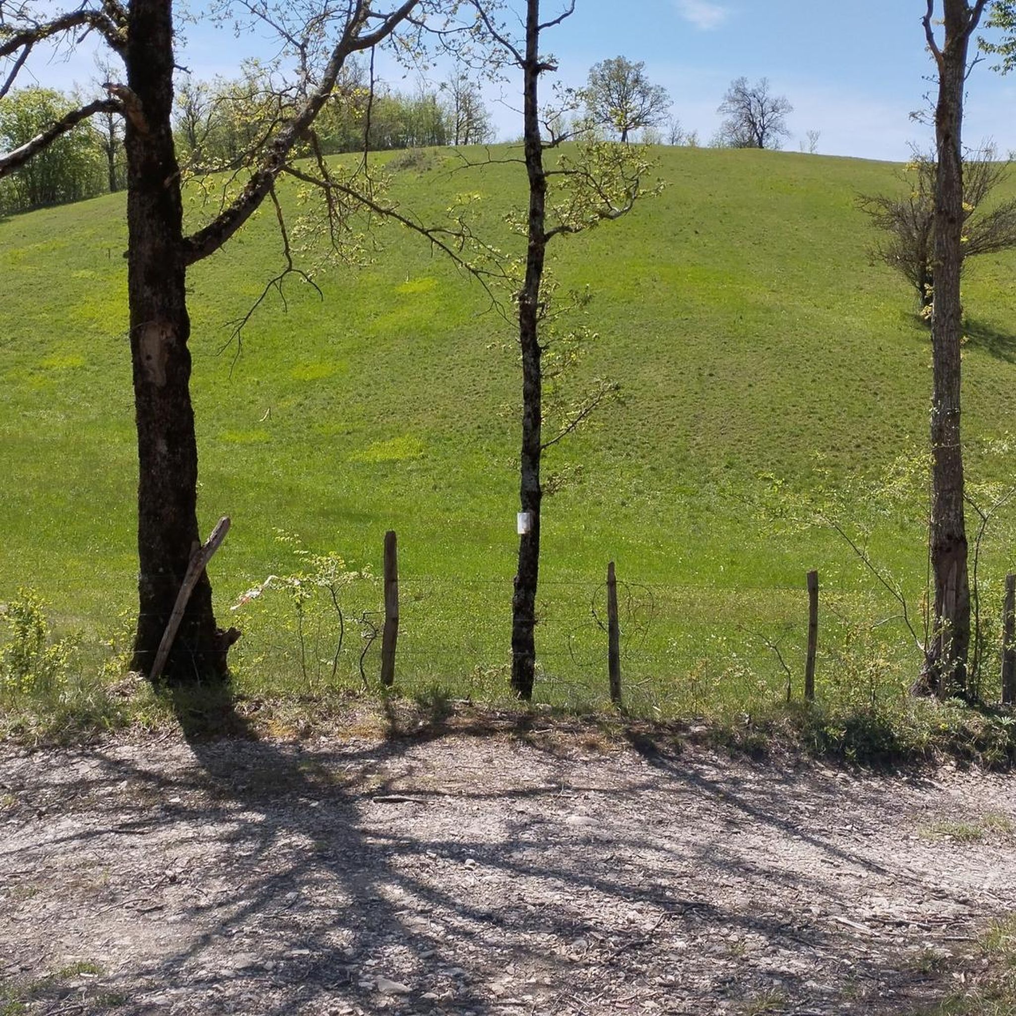
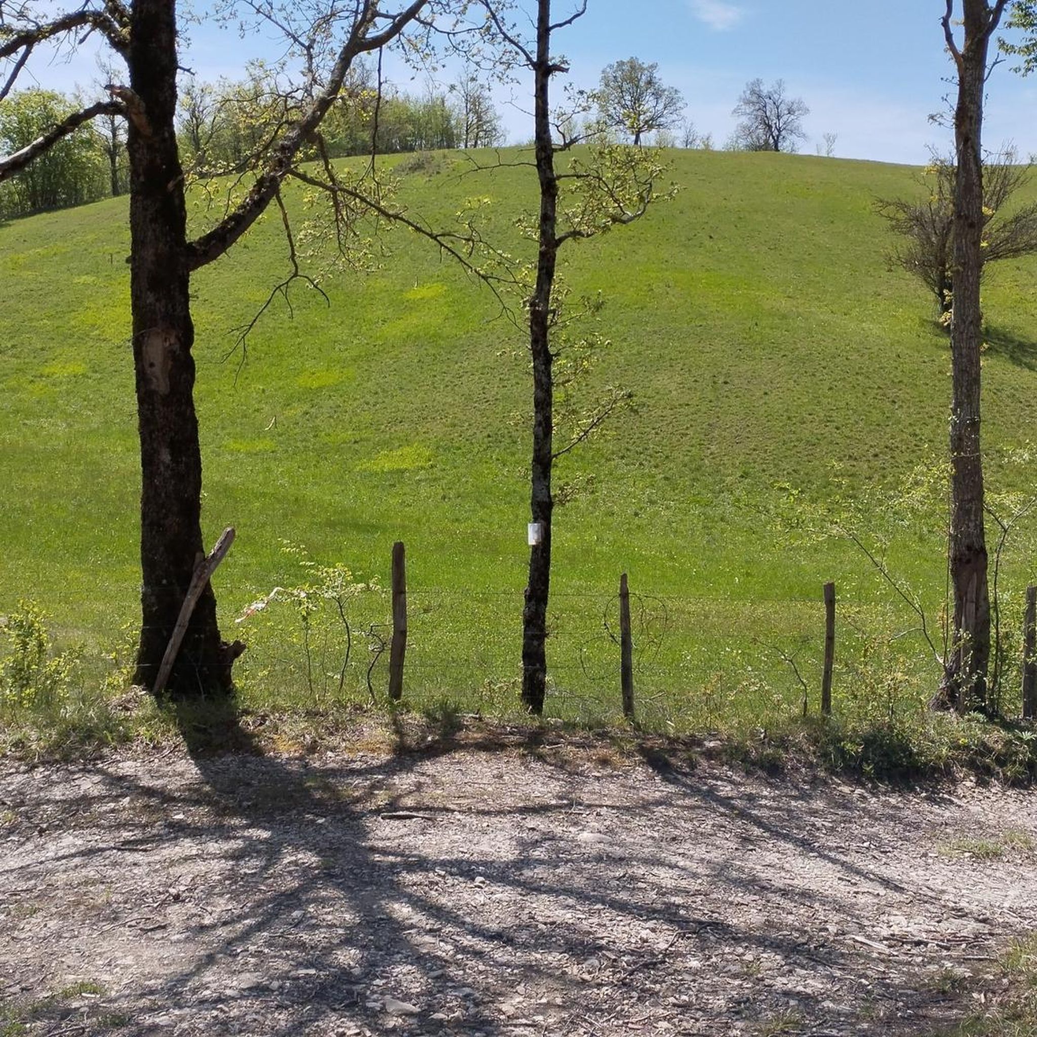
- Another top favourite among local hikers is Monte Fumaiolo to Tevere Source (via Routes 125 and 106), a moderate 8.0 miles (12.9 km) path. This route ascends Mount Fumaiolo, leading to the source of the Tiber River.
- Local hikers also love the Monte Aquilone and Eremo di Sant'Alberico Loop from Balze, a 5.3 miles (8.6 km) trail leading through diverse forest terrain and offering panoramic views, often completed in about 2 hours 51 minutes.
- Hiking around Casteldelci is defined by mountainous terrain, ancient river systems, and unique geological formations. The network offers options for easy, moderate, and difficult ability levels.
- The routes in Casteldelci are highly rated by the komoot community with an average score of 4.6 stars from more than 1,300 reviews. More than 4,900 hikers have used komoot to explore Casteldelci's varied terrain.
Last updated: May 24, 2026
4.7
(67)
176
hikers
8.99km
02:56
400m
400m
Moderate hike. Good fitness required. Mostly accessible paths. Sure-footedness required.
4.9
(19)
68
hikers
12.9km
04:26
540m
550m
Moderate hike. Good fitness required. Mostly accessible paths. Sure-footedness required.

Sign up for free
5.0
(3)
16
hikers
8.56km
02:52
360m
360m
Moderate hike. Good fitness required. Mostly accessible paths. Sure-footedness required.
5.0
(3)
12
hikers
8.04km
02:30
280m
280m
Moderate hike. Good fitness required. Mostly accessible paths. Sure-footedness required.
5.0
(1)
20
hikers
10.2km
03:05
290m
290m
Moderate hike. Good fitness required. Mostly accessible paths. Sure-footedness required.
Get access to more routes and recommendations from other explorers.
Sign up for free
Already have an account?
Our route recommendations are based on thousands of hikes, rides, and runs completed by other people on komoot.
Start today with a free account
Your next adventure awaits.
Login or Signup

Tips from the Community

As of 7/27/24 the refuge is still closed, but 100 meters further east there is the Paradise Fumaiolo hotel and restaurant, I believe managed by the same people as the refuge
1
0

The Faggio Scritto crossroads is a reference point on a hiking route in the Emilia-Romagna region, precisely near the Fumaiolo.
0
0
The Rifugio lo Scoiattolo in Verghereto is a welcoming oasis surrounded by greenery, located at 1400 meters above sea level, right where the Tiber river originates.
0
0

Monte Aquilone is a fascinating destination located in Emilia-Romagna, precisely in the Balze area. This place offers breathtaking panoramic views, especially during autumn.
0
0
The source of the Tiber river is located on the slopes of Mount Fumaiolo at 1,268 meters above sea level, on the side that faces Tuscany, near Le Balze, a hamlet of the municipality of Verghereto (in the province of Forlì-Cesena). This river, also known as "the river sacred to the destinies of Rome," originates within a beech forest thanks to two springs called "the Vene," which are located just 10 meters from each other.
0
0
The Hermitage of Sant'Alberico is a fascinating place located at 1,147 meters above sea level in the Emilia-Romagna region, precisely between the town of Balze and the Celle monastery. This hermitage is located in a deep gorge at the foot of the Aquilone, Celle and Ocri mountains. An atmosphere of austere solitude reigns here, inviting reflection and prayer.
0
0
My suggestion is that you should first learn Italian and geography well, because the word mouth does not indicate the source of a river, but its outlet. Hello and.........study!
0
4
Frequently Asked Questions
How many hiking trails are available in Casteldelci?
Casteldelci offers a wide variety of hiking experiences, with over 300 routes to explore. These trails traverse the region's unique Apennine landscape, providing options for all skill levels.
What are the typical difficulty levels for hiking trails in Casteldelci?
The trails in Casteldelci cater to various fitness levels. You'll find approximately 50 easy routes, over 200 moderate trails, and around 40 more challenging hikes, ensuring there's something for everyone.
What do other hikers enjoy most about the trails in Casteldelci?
The komoot community highly rates the hiking in Casteldelci, with an average score of 4.6 stars from over 1,300 reviews. Hikers often praise the unspoiled Apennine landscape, the diverse terrain, and the opportunities to explore natural features like river sources and ancient geological formations.
Are there any circular hiking routes in Casteldelci?
Yes, Casteldelci features several excellent circular routes. One popular option is the Monte Aquilone and Hermitage of Saint Alberico Loop, which is a moderate 8 km trail with about 280 meters of elevation gain, offering scenic views and a visit to the historic hermitage.
Can I find hikes with waterfalls in Casteldelci?
Yes, the region around Casteldelci is home to beautiful natural features, including waterfalls. You can explore highlights such as Cascata dell'Alferello and Presalino Waterfall, which are often accessible via hiking trails and offer picturesque spots for a break.
Are there family-friendly hiking options in Casteldelci?
While specific 'family-friendly' designations aren't always present, many of the easier routes in Casteldelci are suitable for families. The region's 'green sea' environment and EcoPark Casteldelci provide gentle paths ideal for nature walks and exploring the lush surroundings with children.
What historical or cultural landmarks can I see while hiking in Casteldelci?
Casteldelci is rich in history. You can hike to the Source of the Tiber River Monument, or visit the Hermitage of Sant'Alberico, a significant religious site nestled in a deep gorge. The ancient Romanesque Ponte Vecchio, with its single arch over river waterfalls, is another notable historical landmark to discover.
Are there any long-distance or challenging hikes for experienced trekkers?
For experienced trekkers seeking a challenge, Casteldelci offers routes like Monte Fumaiolo to Tevere Source (via Routes 125 and 106). This moderate 12.9 km path ascends Mount Fumaiolo, providing a substantial hike with around 540 meters of elevation gain.
What kind of natural features define the hiking landscape of Casteldelci?
Casteldelci is characterized by its authentic Apennine landscape, featuring mountainous terrain with elevations up to 1,355 meters. Hikers will encounter primordial configurations, lush green environments fed by river sources like the Tiber and Marecchia, and unique marly-arenaceous geological stratifications dating back millions of years.
Are there any spiritual or contemplative trails in the area?
Yes, the region offers paths with a spiritual focus. The Spiritual trail to Sant'Alberico Hermitage (via Trail 133) is a 10.2 km route leading to the Hermitage of Sant'Alberico, a place of austere solitude at 1,147 meters above sea level, perfect for reflection amidst nature.
Can I combine hiking with exploring local villages or castles?
Absolutely. Beyond the natural trails, Casteldelci's strategic location allows for cultural routes through its historic center, where you can admire ancient architecture. Nearby, you can find castles and historical sites such as Fregoso Fortress in Sant'Agata Feltria or the Petrella Guidi Medieval Village, offering a blend of outdoor activity and cultural immersion.
Most popular attractions around Casteldelci

Get inspired with the komoot mobile app


Explore more
Browse the best Hikes in other regions.
