The best running trails around Roccella Valdemone
1.0
(1)
31
runners
10
runs
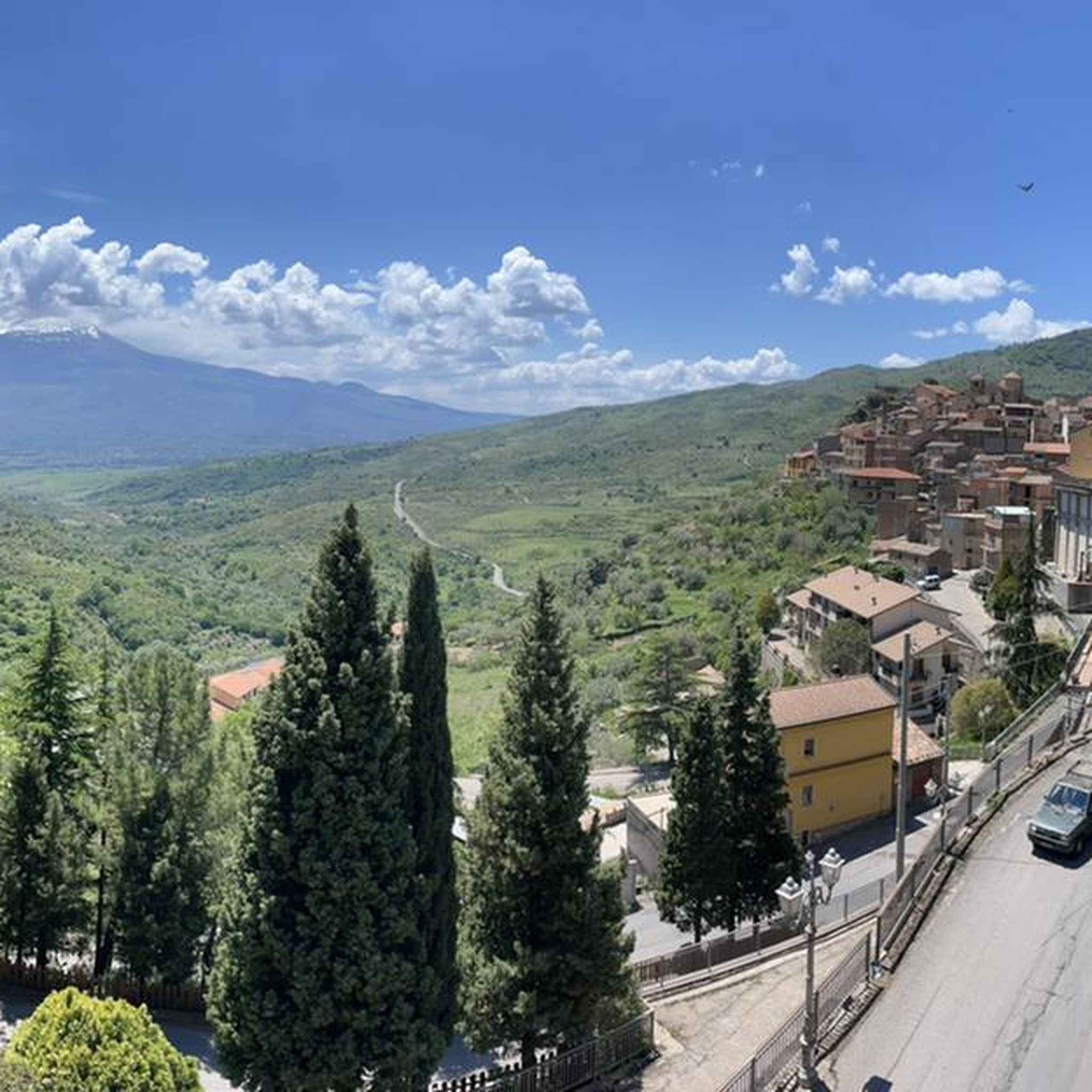
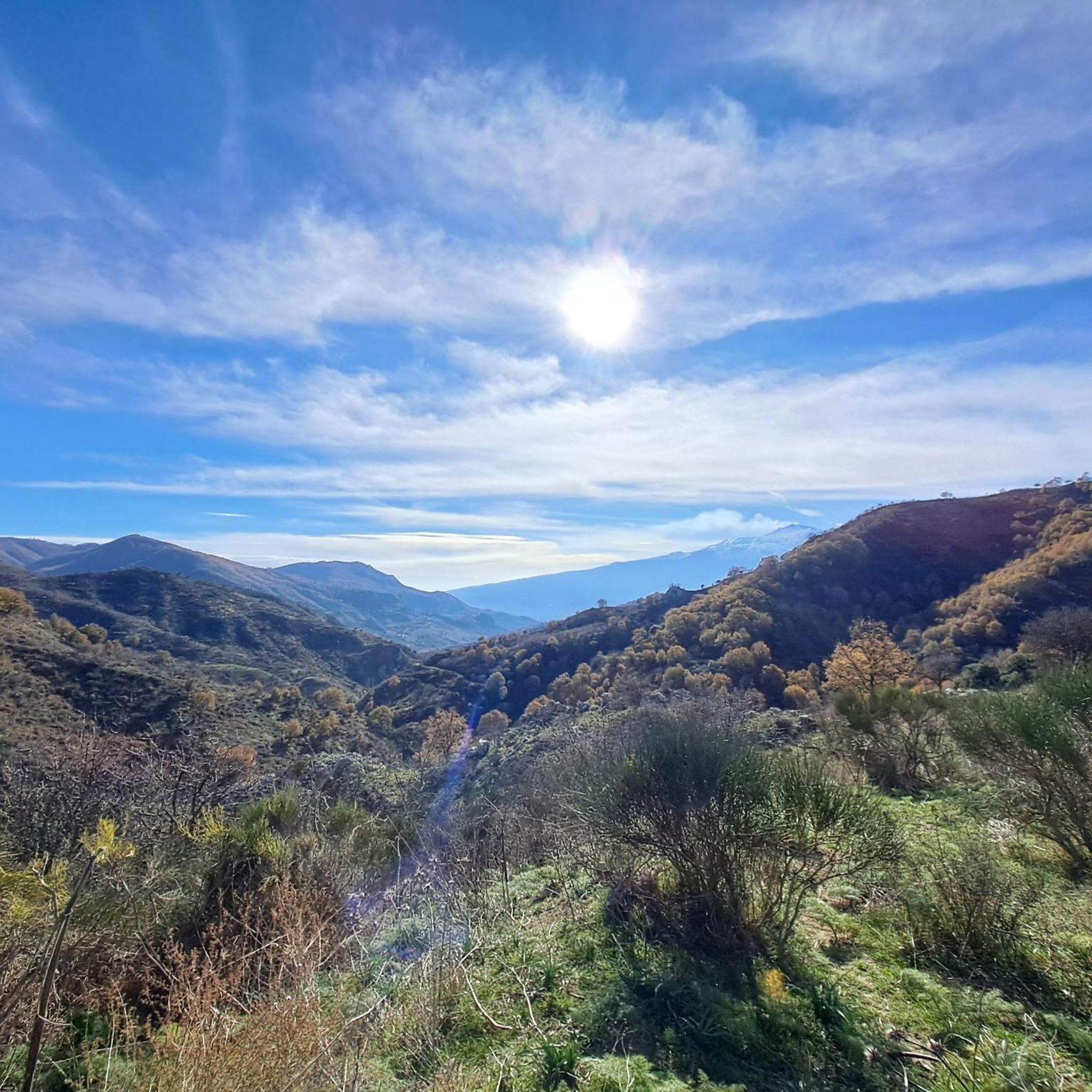
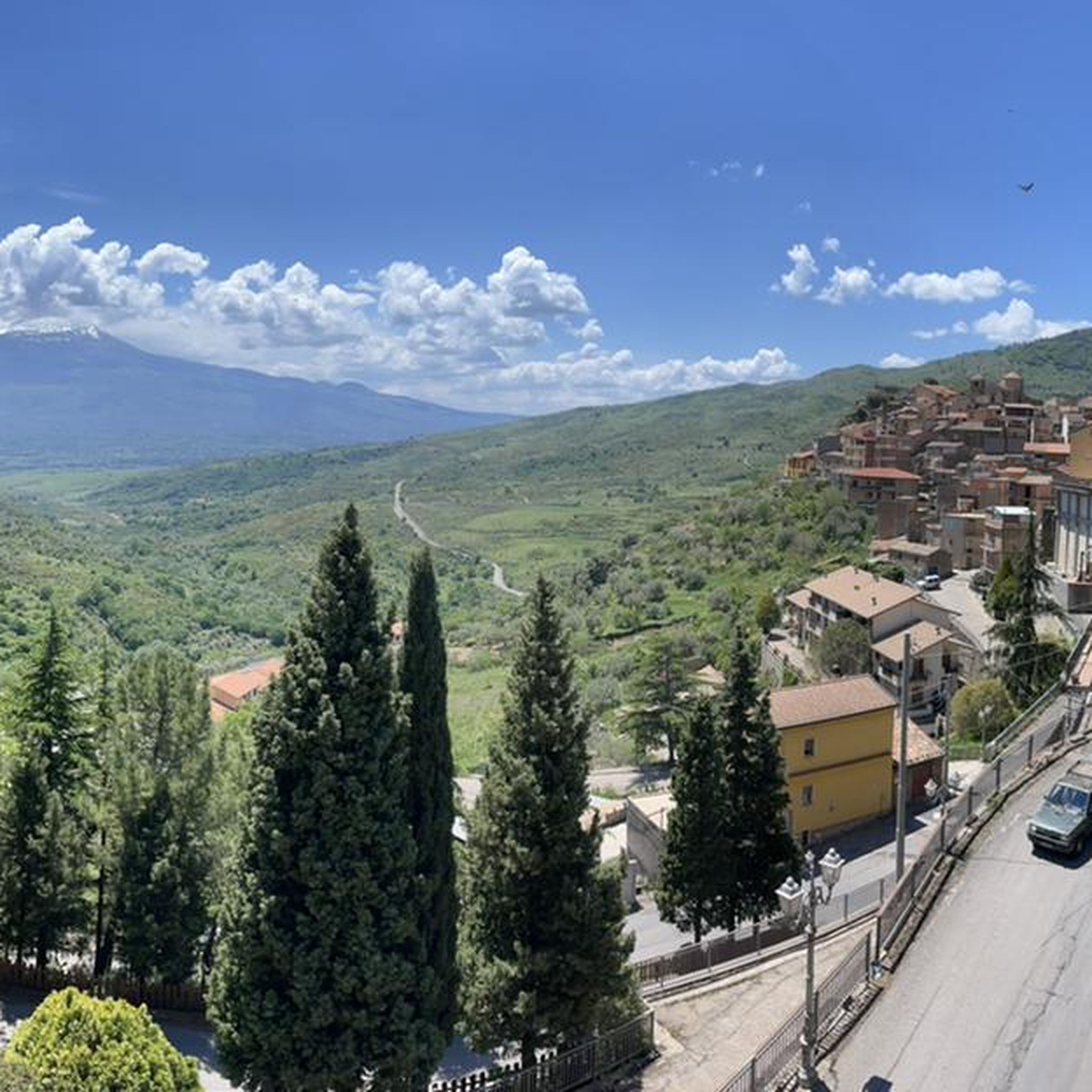
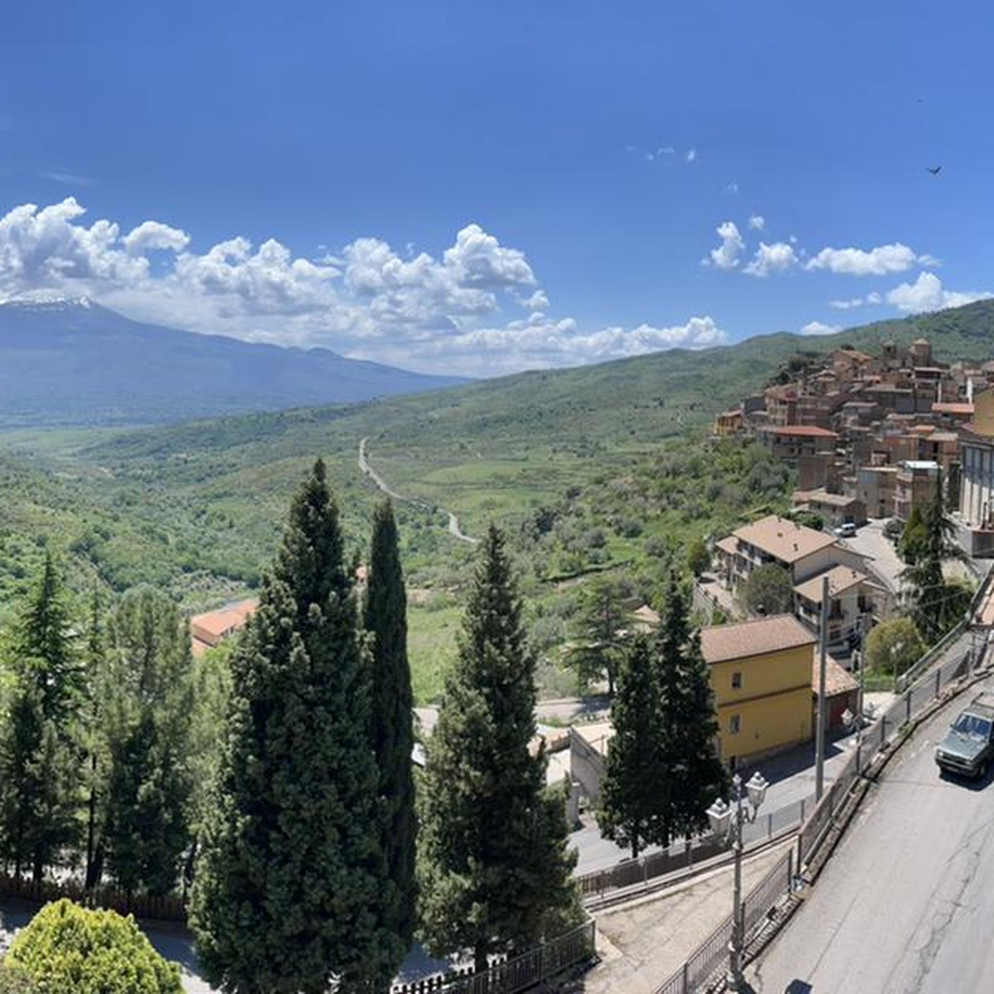
Jogging around Roccella Valdemone offers diverse terrain within the Messina hinterland of Sicily. The region is characterized by mountainous landscapes, part of the Peloritani chain, with elevations typically ranging from 800 to 1300 meters above sea level. Runners can explore well-preserved deciduous oak woods, providing a refreshing environment for exercise. The area also features natural attractions like the Palazzolo Waterfall and the Angara di Piristeri gorges, carved by the Licopitru river, adding varied inclines and scenic views to running routes.
…Last updated: May 24, 2026
4
runners
10.5km
01:30
400m
400m
Embark on the Altomontana and Rifugio Santa Maria Loop, a difficult jogging route that takes you through the unique volcanic landscapes of Mount Etna's western slope. This 6.5-mile (10.5 km)…
1
runners
28.9km
03:38
720m
720m
This difficult 18.0-mile (28.9 km) jogging loop in the Nebrodi mountains visits Lago Cartolari and Lago Trearie, gaining 2368 feet (722 metr

Sign up for free
7
runners
9.53km
01:02
160m
160m
Moderate run. Good fitness required. Mostly paved surfaces. Suitable for all skill levels.
5
runners
9.14km
00:59
160m
160m
Moderate run. Good fitness required. Mostly paved surfaces. Suitable for all skill levels.
4
runners
8.23km
00:52
90m
90m
Moderate run. Good fitness required. Mostly paved surfaces. Suitable for all skill levels.
Get access to more routes and recommendations from other explorers.
Sign up for free
Already have an account?
Our route recommendations are based on thousands of hikes, rides, and runs completed by other people on komoot.
Start today with a free account
Your next adventure awaits.
Login or Signup
Tips from the Community

Classic Refuge always open in a wooded and cool area on the slopes of Etna. Outside a woodshed, in another hut a stable-manger and inside the refuge a table and two bunk beds on which to store sleeping bags. Someone always leaves something, liquor or even commemorative writings (which I would avoid though)
0
0

Wood, water, a fireplace, bunk beds and a table are available. I slept very well :)
0
0

The train station in Randazzo is a transfer station when circumnavigating the entire Etna massif with the Ferrovia Circumetnea. The circumnavigation requires a certain amount of planning. Unfortunately, there is no longer a complete circuit by train. Depending on the time of year (and probably with changes/more deteriorations over the years), you have to plan the individual sections with transfer or waiting times in the transfer stations precisely. However, these waiting times can be put to good use for activities in the individual towns. In Giarre you have to change between the two train stations Giarre-Riposto and Giarre. The journey, which is only 300 m long, takes a maximum of five minutes, so a tour of the nearby (western) old town is recommended if you have more time. Here in Randazzo you can take a tour of the old town, which is well worth seeing, with its cathedral, other interesting churches and several old city gates. In Bronte, where there are two train stations, a hike to the impressive lava fields in the southeast is highly recommended, as well as a tour of the old town on the hill. Don't forget to try the famous pistachios (possibly as ice cream, cake, etc.). From Giarre to Bronte via Randazzo, the slow journey through the interesting, diverse landscape with great, changing views of Etna is extremely exciting. It then becomes increasingly monotonous up to Catania, especially since several routes run underground (as a metro). In Catania, you have to change from Borgo to the central station (Catania Centrale). The shortest route is a good three kilometers long and takes three quarters of an hour. But longer routes through the extremely impressive old town are also worthwhile. The remaining railway line to the east of Etna runs along the coast through populated areas with many towns. Overall, the Etna circuit by train is a great experience with a variety of experiences and impressions and guarantees an unforgettable day. But that's what it takes.
1
0

Beautiful lake with great visual impact, artificial but still surrounded by greenery.
0
0
A wonderful natural lake surrounded by wild greenery, in winter it is possible to find it completely frozen.
1
0
The Saletti Refuge is dedicated to a forestry manager, is located in the Etna Park and is part of a structure of the Regional Department of Rural and Territorial Development.
0
0
An excellent refuge where you can find a wood-burning fireplace, bunk beds, table and benches.
0
0

one of the open bivouacs in this stretch of Altomontana
0
0
Frequently Asked Questions
How many running routes are available around Roccella Valdemone?
There are currently 10 curated running routes around Roccella Valdemone, offering a variety of experiences for different fitness levels. These include moderate and difficult options through the region's diverse landscapes.
What kind of terrain can I expect on running trails in Roccella Valdemone?
The region is characterized by mountainous terrain, part of the Peloritani chain, with elevations typically ranging from 800 to 1300 meters above sea level. You'll find yourself running through well-preserved deciduous oak woods and along paths with varied inclines, offering a refreshing and challenging environment.
Are there routes suitable for beginners or those looking for an easier run?
While Roccella Valdemone's terrain is generally mountainous, there are 7 moderate running routes available. These offer a less strenuous experience compared to the difficult trails, allowing you to enjoy the scenery without extreme challenges. For example, the Running loop from Randazzo is a popular moderate option.
What about challenging or advanced running routes in the area?
For experienced runners seeking a challenge, Roccella Valdemone offers 3 difficult routes. These trails feature significant elevation gains and longer distances. A notable example is the Altomontana and Rifugio Santa Maria Loop, which covers 6.5 miles (10.5 km) with substantial climbing.
Can I find running paths near water features like waterfalls or gorges?
Yes, the area boasts natural attractions such as the spectacular Palazzolo Waterfall and the Angara di Piristeri gorges, carved by the Licopitru river. While specific routes directly alongside these features are not detailed in the guide, the region's proximity to these water elements suggests opportunities for scenic runs with varied inclines.
Are there any running routes with scenic views, perhaps of Mount Etna?
Absolutely. From various points in and around Roccella Valdemone, runners can enjoy breathtaking panoramic views, including distant glimpses of Mount Etna. The mountainous terrain and open vistas provide plenty of opportunities for scenic runs.
Are there circular running routes available?
Yes, many of the routes around Roccella Valdemone are designed as loops, allowing you to start and finish at the same point. For instance, the challenging Lago Trearie and Lago Cartolari Loop is a long-distance circular path exploring scenic lake areas.
What are some interesting landmarks or natural monuments I might see along the running routes?
While running, you might encounter various natural monuments and points of interest. Notable highlights in the broader area include the fascinating Argimusco Rock Formations and Rocche dell'Argimusco. There are also several huts like Saletti Hut and Monte Spagnolo Hut that could serve as points of interest or rest stops.
Is there dedicated parking for accessing running trails in Roccella Valdemone?
Yes, within Roccella Valdemone, the 'Za Dagra park' provides a dedicated space for outdoor recreation, equipped with a parking area. This can serve as a convenient starting point for many activities, including running.
What is the best season for running in Roccella Valdemone?
Given its mountainous setting and deciduous oak woods, spring and autumn generally offer the most pleasant conditions for running, with milder temperatures and vibrant natural colors. Summer can be warm, but the higher elevations and shaded forests provide some relief. Winter running is possible, but trails might be more challenging due to weather conditions.
Are there any long-distance running paths for endurance training?
Yes, for those looking for longer runs, the region offers challenging options. The Lago Trearie and Lago Cartolari Loop is a difficult 18.0 miles (28.9 km) path, perfect for endurance training through scenic lake areas.
Can I combine running with exploring historical sites?
Beyond the natural beauty, the region also offers historical sites like Rocca Pizzicata, with prehistoric caves. While not directly on a running route in this guide, these can be incorporated into longer outdoor excursions, allowing you to combine your run with a cultural exploration.
Most popular attractions around Roccella Valdemone

Get inspired with the komoot mobile app


Explore more
Browse the best Running Trails & Routes in other regions.
