The best walks and hikes around Pagliara
4.1
(162)
680
hikers
39
hikes
Hiking around Pagliara, Italy, offers a diverse landscape characterized by rolling hills, historical sites, and forested valleys. The region features a mix of coastal influences and inland terrain, providing varied environments for exploration. Trails often lead through olive groves, past ancient ruins, and along riverbeds, showcasing the natural and cultural heritage of the area.
Best hiking trails around Pagliara
- The most popular hiking route is Fiumedinisi Castello Belvedere Trail, a 5.6 miles (9.0 km) trail that takes 3 hours…
Last updated: October 8, 2026
4.7
(15)
68
hikers
9.03km
03:04
480m
480m
Hike the moderate 5.6-mile Fiumedinisi Castello Belvedere Trail for panoramic views of Sicily's coast, the Ionian Sea, and historic castle r
4.0
(1)
8
hikers
6.32km
02:08
320m
320m
Moderate hike. Good fitness required. Easily-accessible paths. Suitable for all skill levels.

2.3
(3)
5
hikers
12.1km
04:08
640m
640m
Moderate hike. Good fitness required. Easily-accessible paths. Suitable for all skill levels.
5.0
(1)
7
hikers
19.7km
06:17
830m
830m
Hard hike. Very good fitness required. Mostly accessible paths. Sure-footedness required.
7
hikers
10.4km
03:07
350m
350m
Moderate hike. Good fitness required. Easily-accessible paths. Suitable for all skill levels.
Get access to more routes and recommendations from other explorers.
Already have an account?
Our route recommendations are based on thousands of hikes, rides, and runs completed by other people on komoot.
Start today with a free account
Your next adventure awaits.
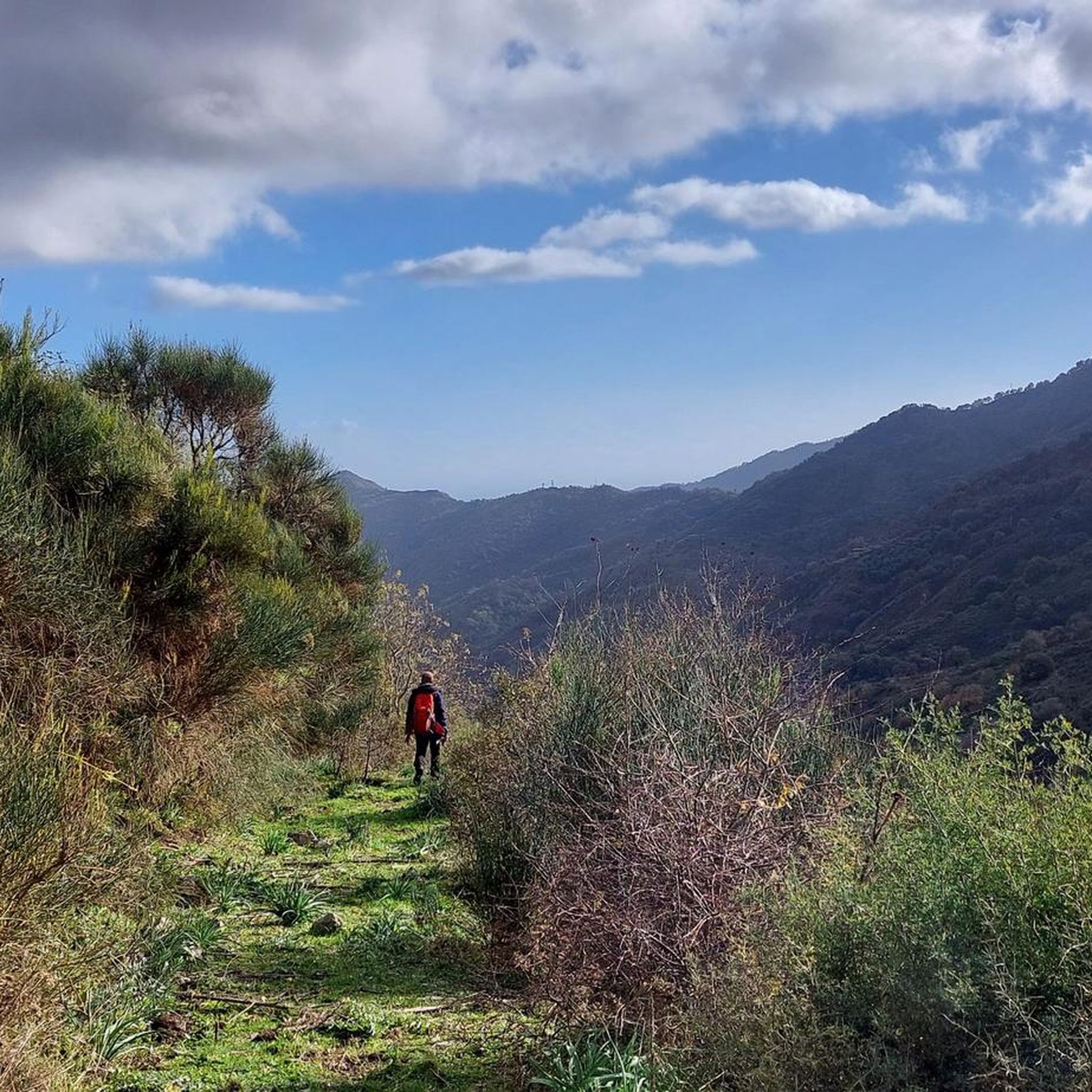
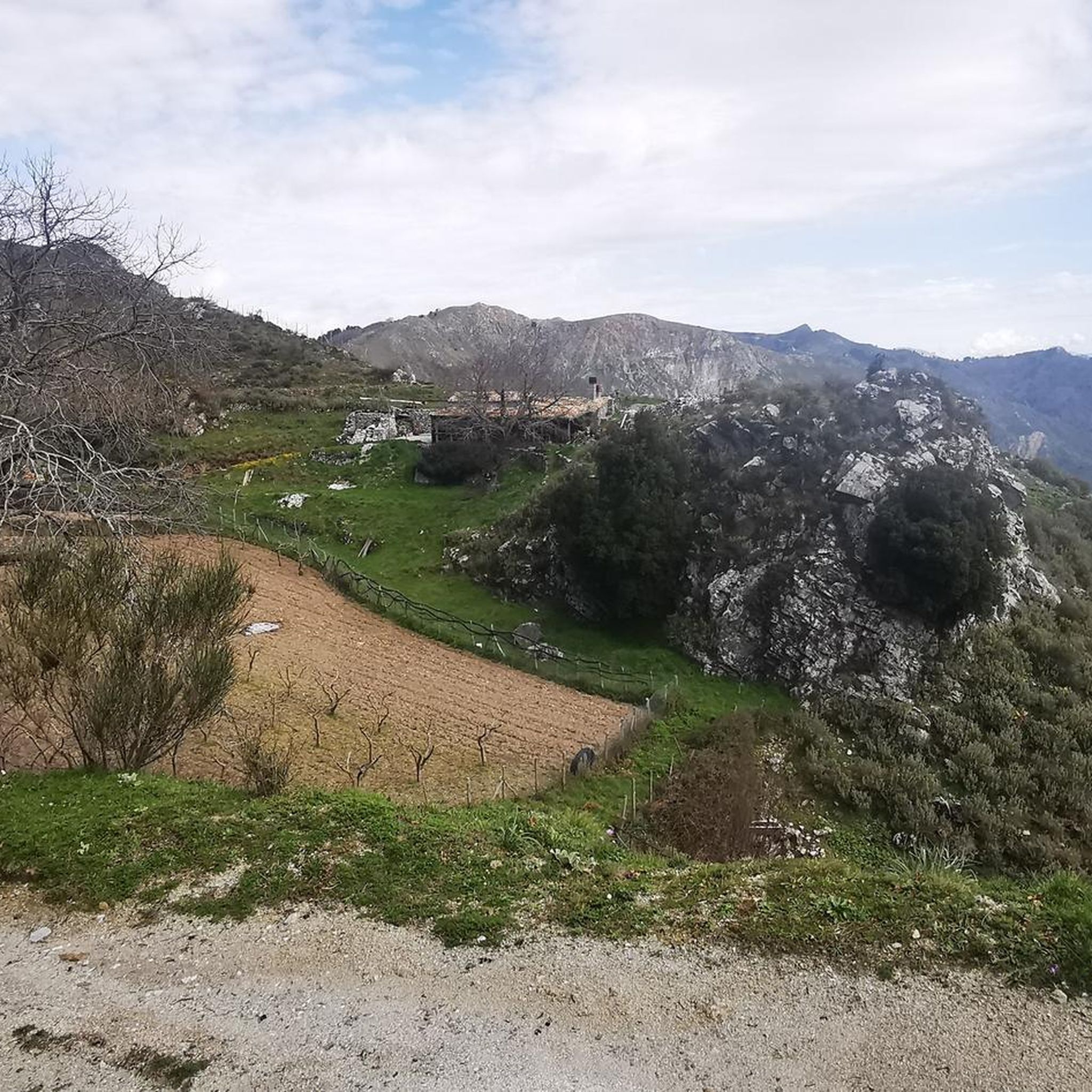
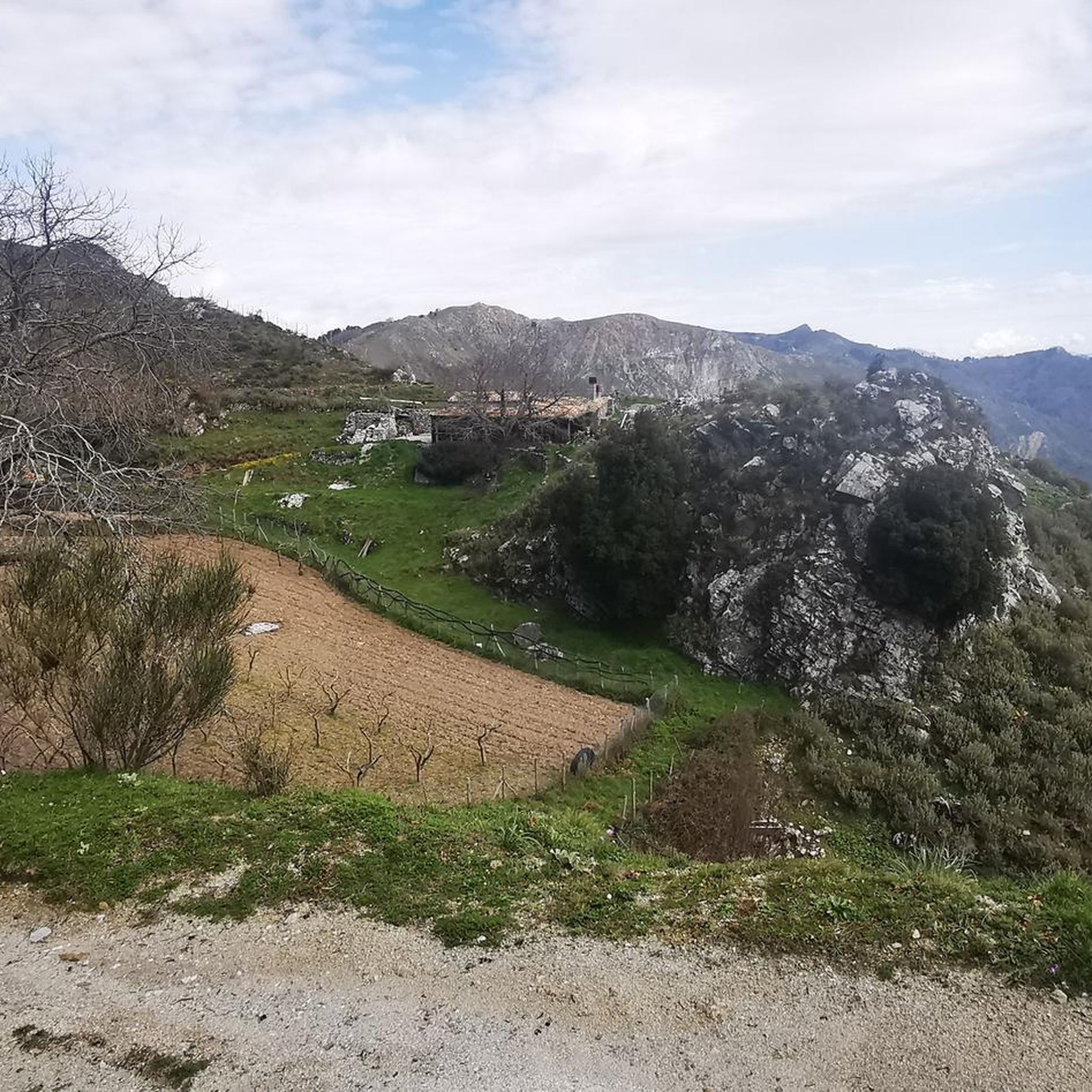
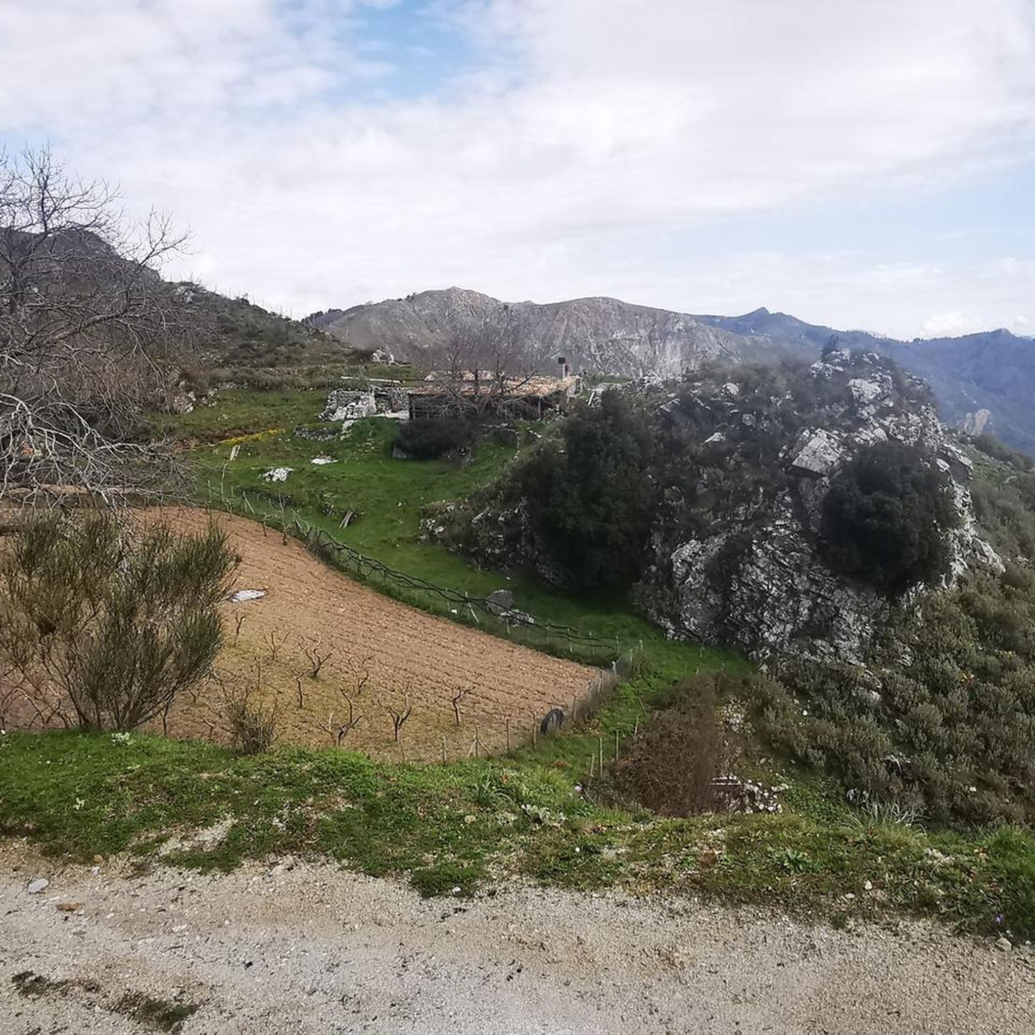
Tips from the Community


Excellent place to camp, with equipped area and running water.
0
0

Beautiful forest refuge, located in the municipality of Santa Lucia del Mela. Hobs and running water. Great for a nice picnic.
1
0

This ruined castle dates back to the 12th century and is the destination for a wonderful panoramic trek overlooking the Sicilian coast.
2
0
Wonderful path surrounded by nature that leads to the ruins of the Belvedere Castle of Fiumedinisi, from which you can admire a fantastic view.
3
1

Scenes for the film "The Godfather" were filmed here.
4
0

The Postoleoni refuge is welcoming and has an excellent area equipped with tables, benches, barbecue areas and a drinking water fountain. It is owned by the Forestale, which makes it available only on request.
2
0

The refuge is located in Cantoniera Postoleoni and is owned by the Forest Service. It is opened only on request. Around there is an excellent equipped area complete with a fountain, tables, benches and barbecue areas.
2
0
Frequently Asked Questions
How many hiking trails are available around Pagliara?
There are over 35 hiking trails available around Pagliara, offering a variety of experiences for different skill levels. The region provides a diverse landscape of rolling hills, historical sites, and forested valleys.
What is the general difficulty level of hiking trails in Pagliara?
The trails in Pagliara cater to a range of abilities. You'll find about 5 easy routes, 21 moderate routes, and 11 more difficult trails, ensuring options for beginners and experienced hikers alike.
What do other hikers say about the trails in Pagliara?
The komoot community highly rates the trails in Pagliara, with an average score of 4.3 stars from over 130 reviews. Hikers often praise the varied terrain, historical landmarks, and scenic beauty of the area.
Are there any easy or family-friendly hiking options in Pagliara?
Yes, Pagliara offers several easy and family-friendly hiking options. A great choice is the Pentefur Castle – Bar Vitelli loop from Savoca, which is an easy 0.9-mile (1.4 km) path exploring historical sites. The region's diverse network includes routes suitable for all ages.
Can I find circular hiking routes in the Pagliara area?
Yes, many trails in the Pagliara area are designed as loops, allowing you to start and end at the same point. An example is the Hiking loop from Fiumedinisi, a 3.9-mile (6.3 km) trail that takes you through varied terrain around the town.
Are there hiking trails in Pagliara that offer good viewpoints?
Absolutely. The region is known for its scenic hills and offers trails with rewarding views. For instance, the Fiumedinisi Castello Belvedere Trail provides views towards the historic Castello Belvedere. You can also find panoramic vistas from Mount Calvary of Savoca, which is accessible via some local routes.
Are there any trails suitable for dogs in Pagliara?
While specific dog-friendly designations aren't always marked, many of Pagliara's natural trails through olive groves and forested paths are generally suitable for dogs, provided they are kept on a leash and you adhere to local regulations. Always ensure your dog is well-behaved and that you clean up after them.
What interesting landmarks or attractions can I see along the hiking trails in Pagliara?
Pagliara's hiking trails often lead past significant historical and natural landmarks. You might encounter sites like the ancient Church of Saints Peter and Paul of Agrò or the impressive Castello di Sant'Alessio Siculo. Some routes also pass by mountain huts like Rifugio Postoleoni, offering a glimpse into the region's heritage.
What is the best time of year to go hiking in Pagliara?
The best time for hiking in Pagliara is typically during the spring (April-June) and autumn (September-October) months. During these periods, the weather is mild and pleasant, making for comfortable conditions to explore the trails and enjoy the natural beauty without the intense summer heat.
Are there any trails that lead to mountain huts or refuges in the area?
Yes, some trails in the Pagliara area lead to or pass by mountain huts. For example, the Postoleoni Forest Refuge loop from Mandanici is a moderate trail that takes you to the Rifugio Postoleoni, offering a potential resting spot or destination.
Are there any longer, more challenging hikes for experienced trekkers?
Yes, for experienced trekkers, Pagliara offers several more challenging routes. Approximately 11 of the trails are rated as difficult, featuring greater distances and elevation gains. These routes provide a more strenuous experience while still showcasing the region's rugged beauty.
Is public transport available to access hiking trailheads in Pagliara?
Access to trailheads in Pagliara primarily relies on personal vehicles due to the rural nature of many starting points. While some towns like Savoca or Fiumedinisi may have limited local bus services, checking specific routes and schedules in advance is recommended if you plan to use public transport.
Are there any trails that explore the coastal influences of the region?
While many trails venture inland, the region's proximity to the coast means some routes offer glimpses of coastal landscapes or start near coastal towns. For example, the Pentefur Castle – Bar Vitelli loop from Santa Teresa di Riva begins closer to the coast, blending historical exploration with a touch of maritime influence.
Most popular attractions around Pagliara

Get inspired with the komoot mobile app


Explore more
Browse the best Hikes in other regions.
