The best walks and hikes around Sauerlach
4.2
(106)
996
hikers
133
hikes
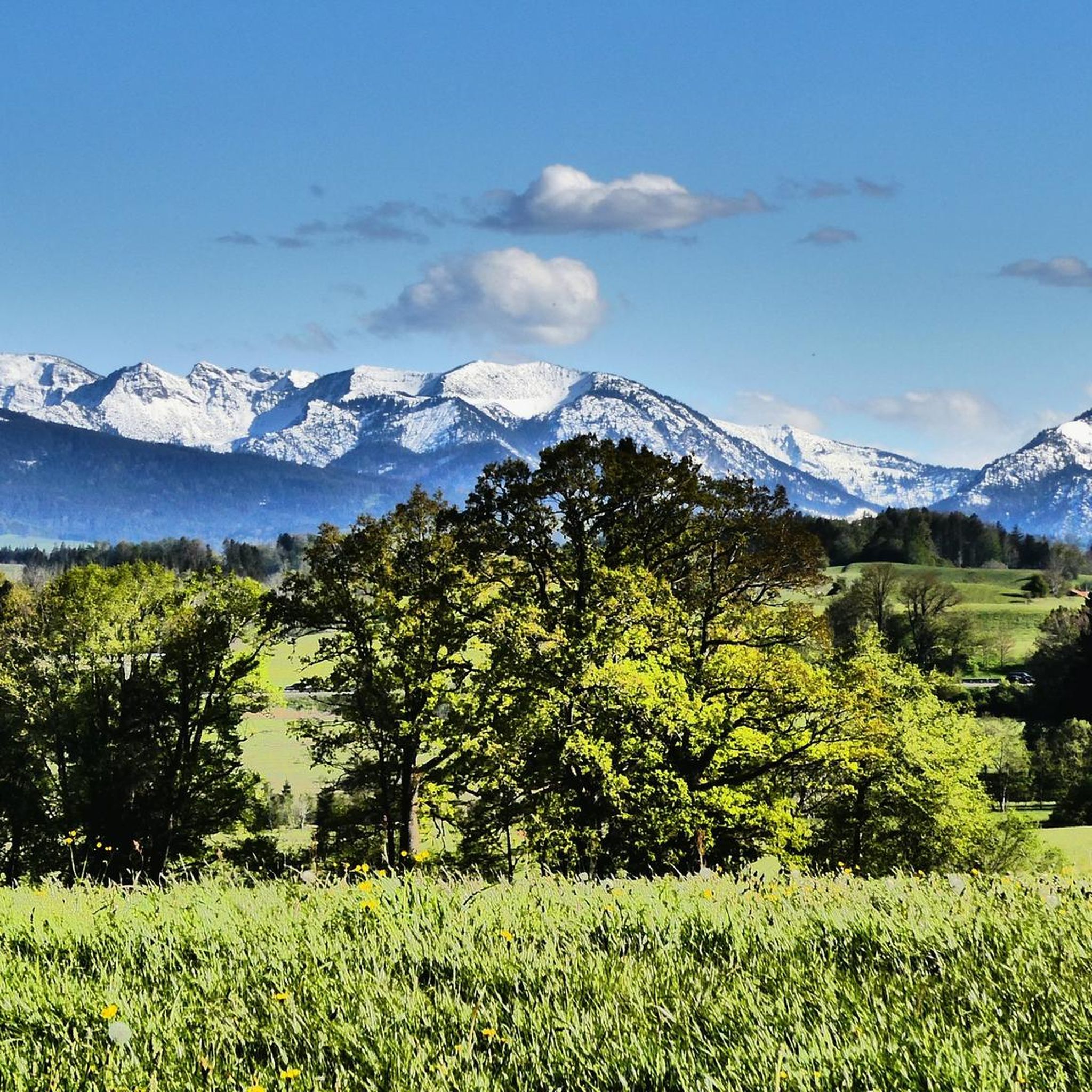
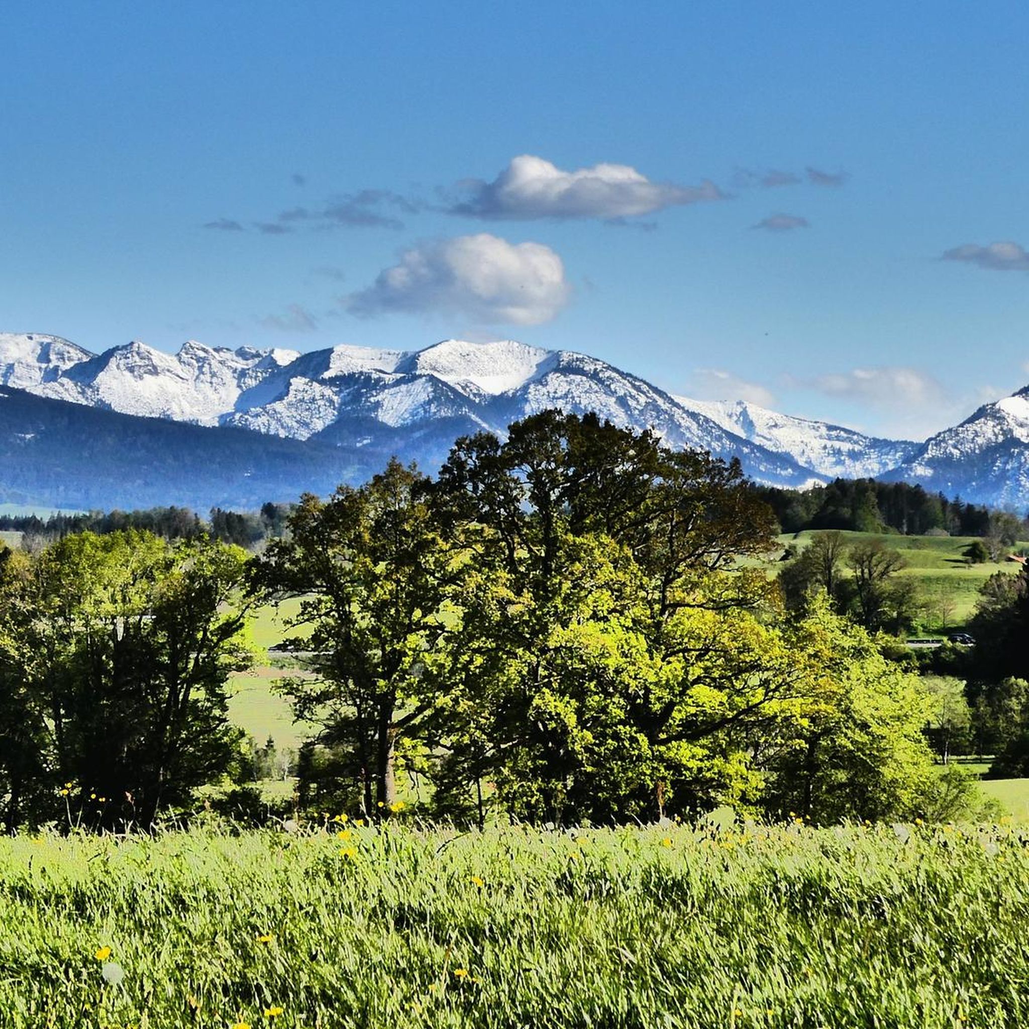
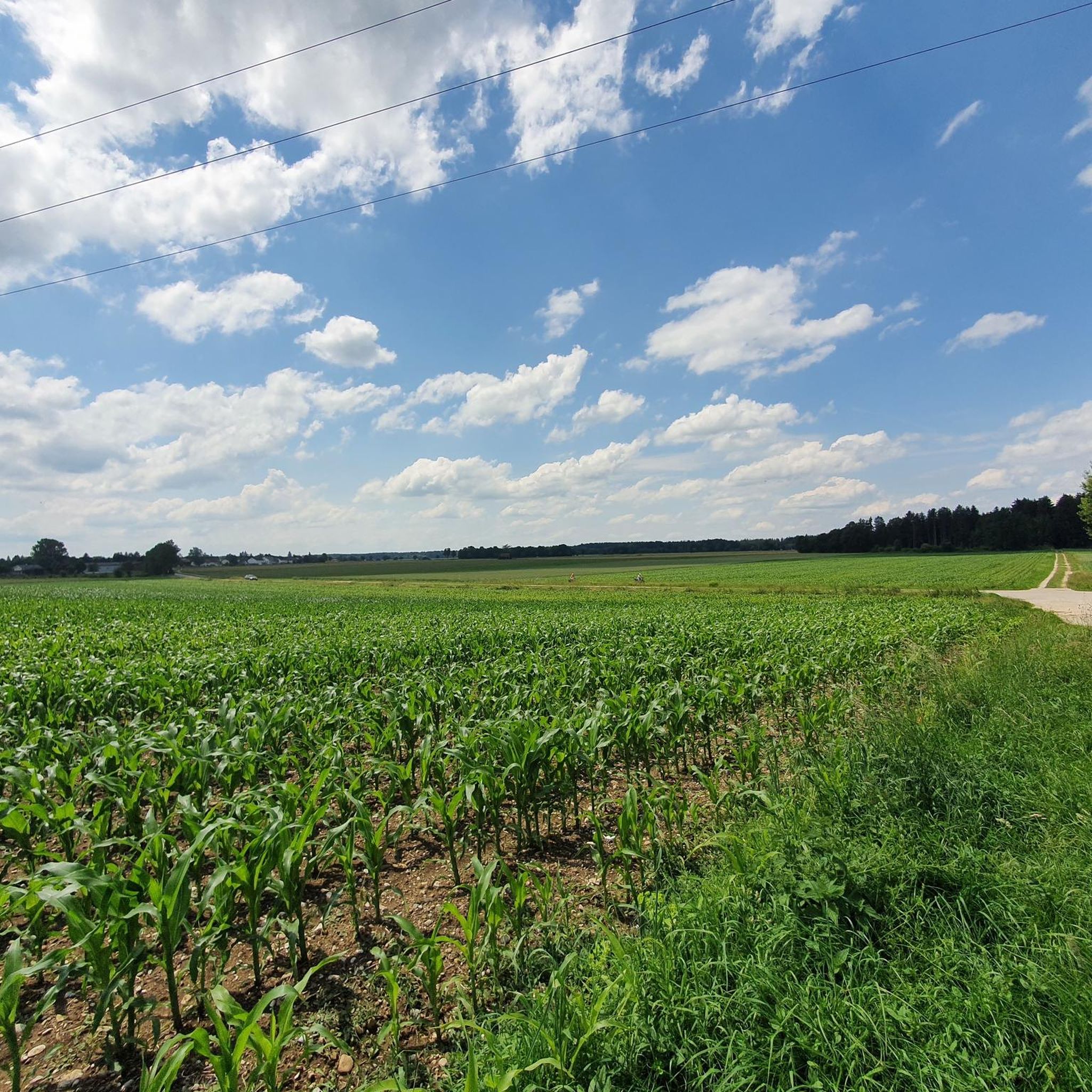
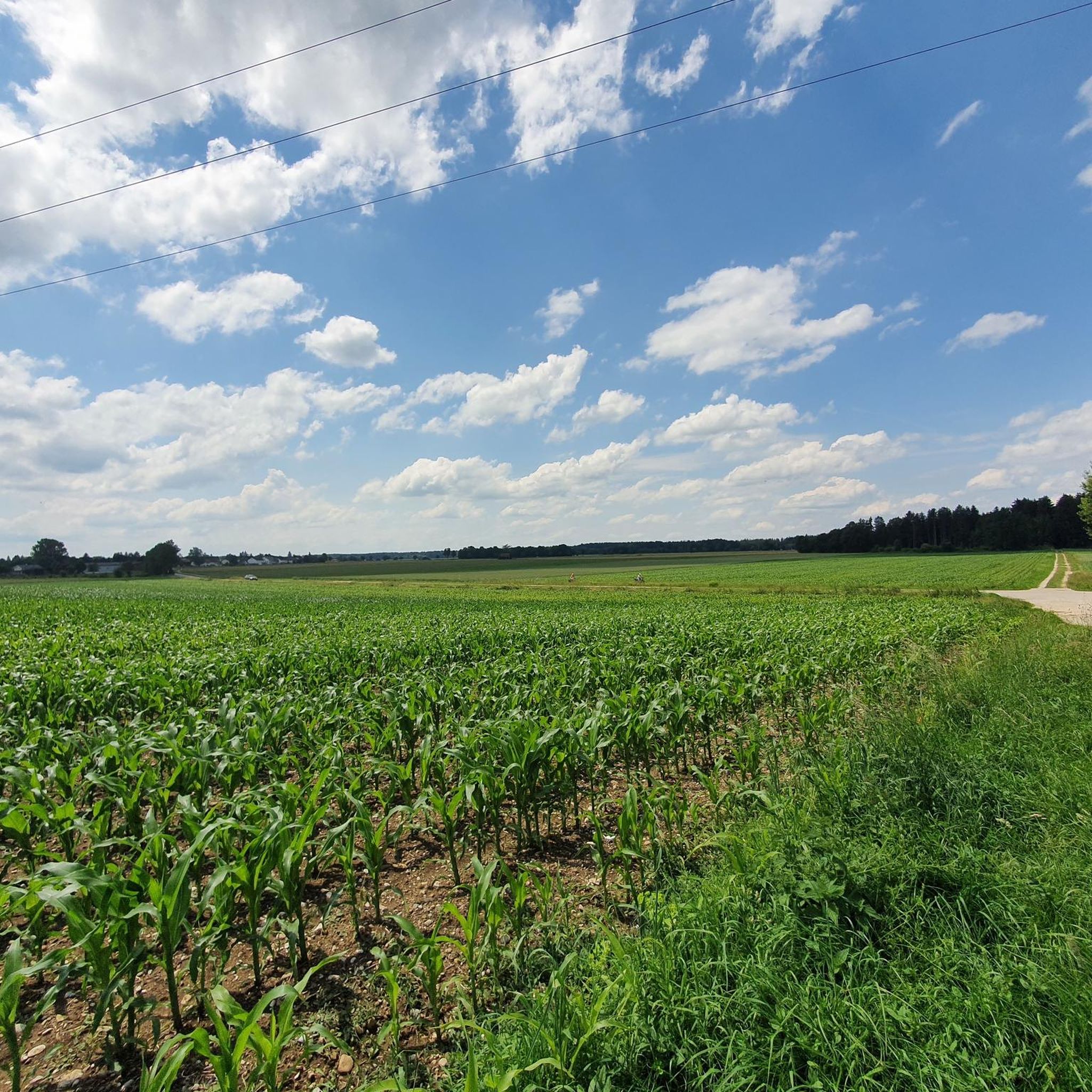
Hiking around Sauerlach provides access to the Bavarian foothills of the Alps, featuring an idyllic landscape of green forests, lush meadows, and rolling hills. The region is defined by its picturesque rural scenery, offering varied terrain suitable for different activity levels. On clear days, views of the snowy Alpine peaks can be observed, complementing the tranquil environment for outdoor activities.
Best hiking trails around Sauerlach
- The most popular hiking route is View of Sauerlach – Wayside Cross loop from Sauerlach…
Last updated: August 8, 2026
4.3
(3)
66
hikers
5.07km
01:18
20m
20m
Easy hike. Great for any fitness level. Easily-accessible paths. Suitable for all skill levels.
4.0
(5)
23
hikers
7.65km
02:00
50m
50m
Easy hike. Great for any fitness level. Easily-accessible paths. Suitable for all skill levels.

Sign up for free
4.7
(10)
37
hikers
6.97km
01:48
40m
40m
Easy hike. Great for any fitness level. Easily-accessible paths. Suitable for all skill levels.
4.5
(2)
20
hikers
3.47km
00:54
20m
20m
Easy hike. Great for any fitness level. Easily-accessible paths. Suitable for all skill levels.
4.0
(1)
10
hikers
Moderate hike. Good fitness required. Easily-accessible paths. Suitable for all skill levels.
Get access to more routes and recommendations from other explorers.
Sign up for free
Already have an account?
Our route recommendations are based on thousands of hikes, rides, and runs completed by other people on komoot.
Start today with a free account
Your next adventure awaits.
Login or Signup

Tips from the Community

Very good food, ideal for groups, fast service
0
0

Linden Avenue
0
0

Another young linden tree was planted, bringing the total to 40 again 😊.
0
0

Beautiful little chapel hidden in the forest.
2
0

Old fortifications northwest of Gumpertsham dating back to around 500 BC bear witness to Celtic settlement in the area. In earlier times, the settlement of Arget was called Aragartin. According to one theory, this name may have originated from Roman cult sites. More information about the place can be found here: https://de.wikipedia.org/wiki/Arget_(Sauerlach)
2
0

Wikipedia (St. Michael (Arget), 2024-10-11): https://de.m.wikipedia.org/wiki/St._Michael_(Arget) Wikipedia (List of architectural monuments in Sauerlach, 2023-12-30): https://de.m.wikipedia.org/wiki/Liste_der_Baudenkmäler_in_Sauerlach#D-1-84-141-37 “Catholic parish church of St. Michael ... Late Gothic hall building with a recessed choir closed on three sides with an attached sacristy, early 16th century, Romanesque tower substructure around 1315, baroque reconstruction of the church in 1686, tower lantern in 1887 ... D-1-84-141-37”
2
0
Wikipedia (St. Michael (Arget), 2024-10-11): https://de.m.wikipedia.org/wiki/St._Michael_(Arget) Wikipedia (List of architectural monuments in Sauerlach, 2023-12-30): https://de.m.wikipedia.org/wiki/Liste_der_Baudenkmäler_in_Sauerlach#D-1-84-141-37 “Catholic parish church of St. Michael ... Late Gothic hall building with a recessed choir closed on three sides with an attached sacristy, early 16th century, Romanesque tower substructure around 1315, baroque reconstruction of the church in 1686, tower lantern in 1887 ... D-1-84-141-37”
2
0

Great and surprisingly large hotel.
0
0
Frequently Asked Questions
How many hiking trails are available around Sauerlach?
Sauerlach offers a wide variety of hiking experiences, with over 130 routes available. These range from easy strolls through meadows to more moderate excursions, ensuring options for different activity levels.
What is the best time of year to go hiking in Sauerlach?
The optimal time to experience hiking in Sauerlach is between May and September. During these months, the weather is generally pleasant, allowing you to fully enjoy the green forests, lush meadows, and rolling hills of the region.
Are there easy hiking trails suitable for beginners or casual walkers?
Yes, Sauerlach is very welcoming for beginners and casual walkers. Out of the over 130 routes, 105 are classified as easy. These trails typically feature varied terrain with gentle inclines, perfect for a relaxed outdoor experience.
What kind of natural features or landscapes can I expect to see while hiking in Sauerlach?
Sauerlach's landscape is characterized by extensive green forests, open fields, and serene meadows. The Old Farmhouse – St. Anna Chapel in Sauerlach loop from Sauerlach, for example, leads through picturesque rural scenery. On clear days, you can even catch glimpses of the snowy Alpine peaks in the distance, providing a stunning backdrop to your hike.
Are there any circular hiking routes in Sauerlach?
Many of the trails in Sauerlach are designed as circular routes, offering convenient starting and ending points. For instance, the View of St. Michael Church – Arget Village loop from Arget is a great option for a scenic round trip through the village area.
What are some notable landmarks or attractions to see near the hiking trails?
While hiking, you can encounter various points of interest. The View of St. Michael Church – St. Corona Chapel in Arget loop from Arget offers views of historic churches and chapels. Additionally, the region is close to historical sites like Grünwald Castle, which can complement your outdoor excursions.
Are the hiking trails in Sauerlach suitable for families with children?
Yes, many trails in Sauerlach are family-friendly, offering varied terrain suitable for active individuals of all ages. The numerous easy routes provide a great opportunity for families to enjoy nature together, with paths leading through forests and meadows.
Can I bring my dog on the hiking trails in Sauerlach?
Sauerlach's natural environment, with its extensive green spaces and forest paths, is generally welcoming for dogs. Most trails are suitable for walks with your canine companion, but it's always advisable to keep dogs on a leash, especially in areas with wildlife or near agricultural land.
How long do hikes around Sauerlach typically take?
Hike durations vary depending on the route and your pace. Many easy trails can be completed in under two hours, such as the Arget Village – Mountain panorama loop from Arget, which takes about an hour. Longer, more moderate routes will naturally require more time.
What do other hikers say about the trails in Sauerlach?
The hiking routes in Sauerlach are highly regarded by the komoot community, with an average rating of 4.3 stars from over 90 reviews. Hikers often praise the tranquil environment, the picturesque rural scenery, and the well-maintained paths that offer diverse opportunities for exploration.
Are there any bike parks or mountain biking trails near Sauerlach?
While Sauerlach is primarily known for hiking, the broader region offers options for mountain biking enthusiasts. You can find nearby bike parks and trails such as Isartrails Munich, which features various mountain biking routes and features.
Most popular routes around Sauerlach
Most popular attractions around Sauerlach

Get inspired with the komoot mobile app


Explore more
Browse the best Hikes in other regions.
