The best walks and hikes around Sutera
3.4
(16)
65
hikers
13
hikes
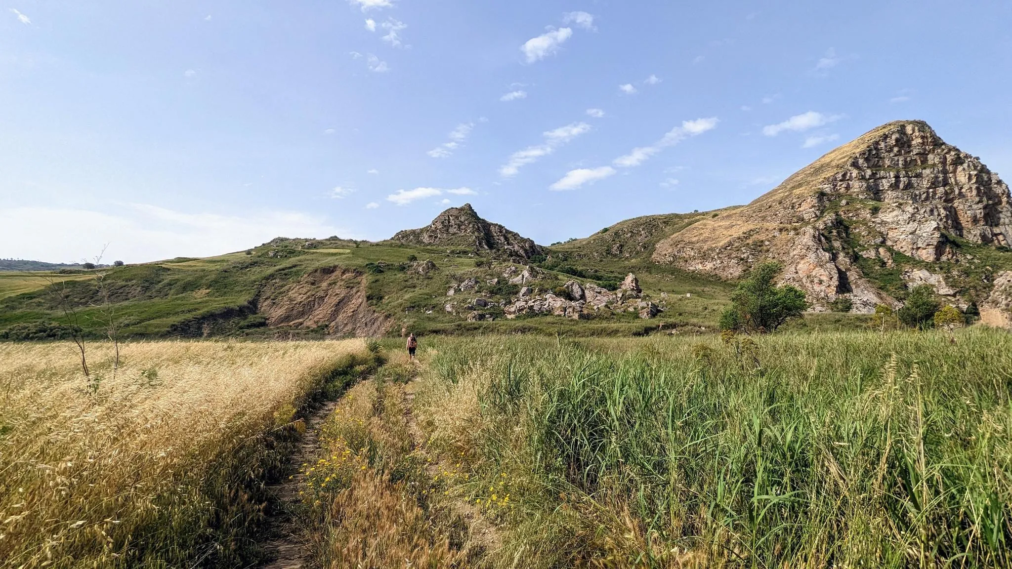
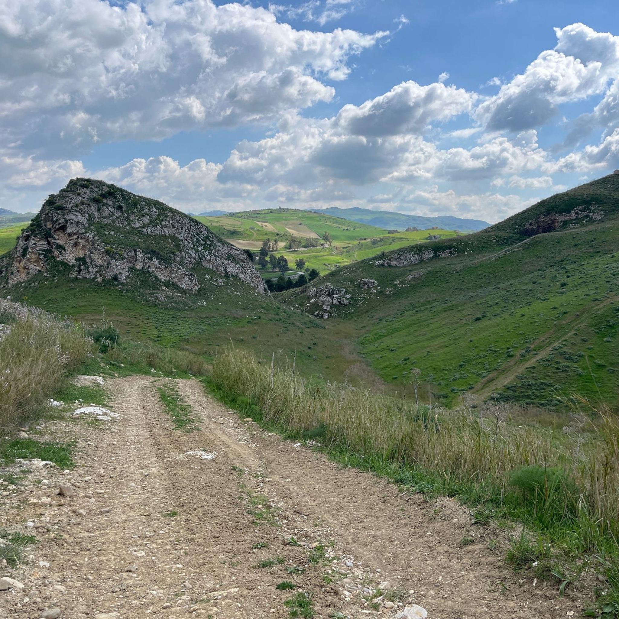
Hiking around Sutera offers routes through a landscape dominated by Monte San Paolino, a prominent mountain featuring unique geological formations. The region includes rolling hills, olive groves, and sections of the historic Magna Via Francigena. Trails often lead to panoramic viewpoints across central Sicily.
Best hiking trails around Sutera
- The most popular hiking route is Sutera and Monte San Paolino, a 4.7 miles (7.5 km) trail that takes 2 hours 21 minutes to complete. This moderate route ascends Monte…
Last updated: October 8, 2026
2.5
(2)
7
hikers
7.50km
02:21
300m
300m
Moderate hike. Good fitness required. Easily-accessible paths. Suitable for all skill levels.
8
hikers
6.93km
01:54
110m
110m
Hike Sicily Divide, Stage 4, an easy 4.3-mile (6.9 km) route with 363 feet (111 metres) of elevation gain, featuring historic castles.

3.6
(8)
25
hikers
4.60km
01:32
210m
210m
Easy hike. Great for any fitness level. Easily-accessible paths. Suitable for all skill levels.
1.0
(1)
5
hikers
9.21km
02:51
330m
330m
Moderate hike. Good fitness required. Easily-accessible paths. Suitable for all skill levels.
4
hikers
5.72km
01:33
80m
80m
Easy hike. Great for any fitness level. Easily-accessible paths. Suitable for all skill levels.
Get access to more routes and recommendations from other explorers.
Already have an account?
Our route recommendations are based on thousands of hikes, rides, and runs completed by other people on komoot.
Start today with a free account
Your next adventure awaits.


Tips from the Community

It is useless to look for another point to cross the river. This is the only possible point
0
0

The striking peak of Sutera glows in the evening sun, sure to be a new highlight at every brilliant sunset.
0
0
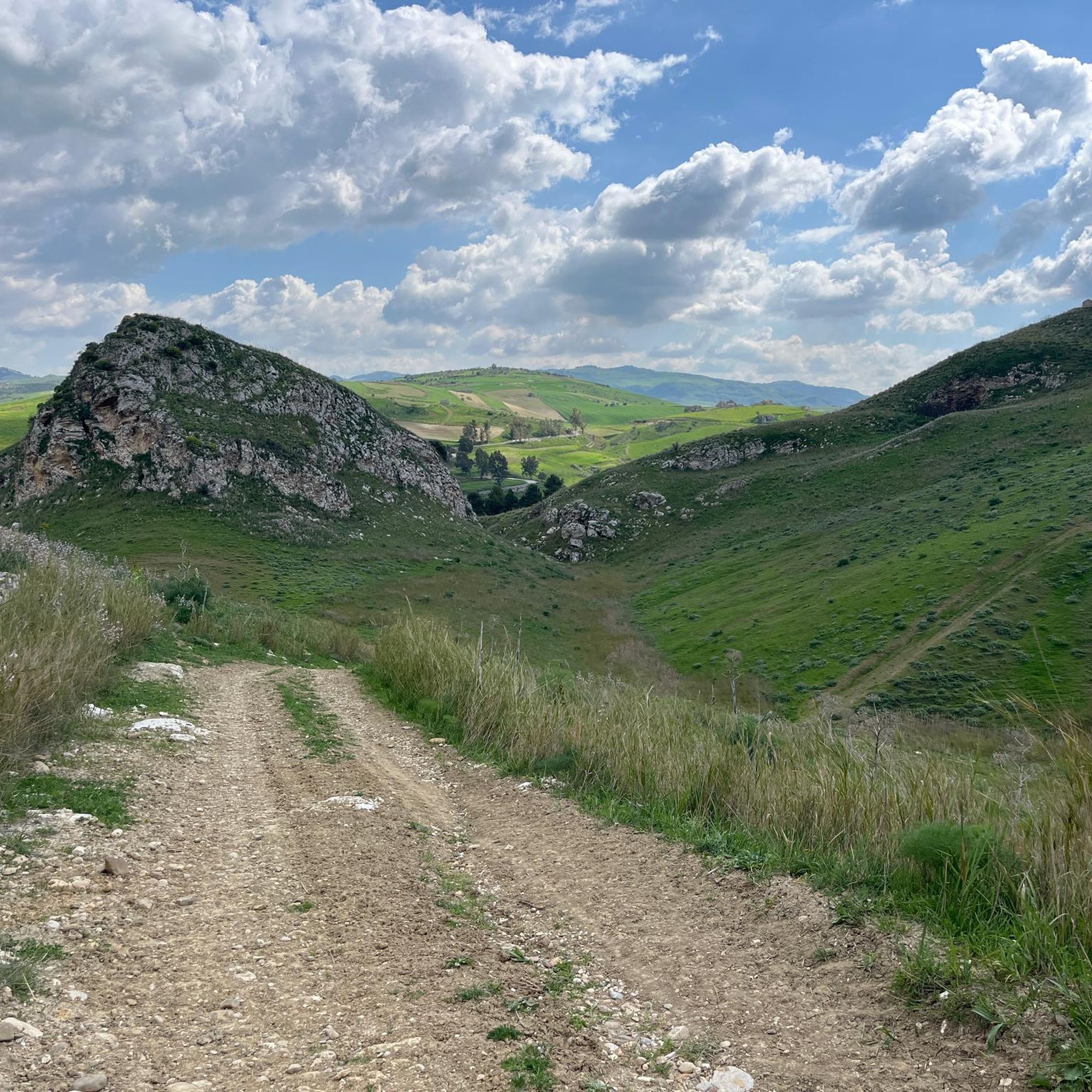
Dreamlike landscape around Monte Conca in the evening light
0
0

The VF crosses a river here without a bridge. It's only about 50 cm deep, though. The ground is rocky and invisible. Hiking poles are highly recommended. Then it's fine.
0
0

Beautiful but in April the road was difficult for us because of the clay soil. Thick placards stuck to our mountain boots. Probably less of a problem in drier weather.
0
0

Beautiful nature reserve along the Magna Via Francigena. I had problems crossing the river. Hiking poles are an advantage.
2
0

The Monte Conca nature reserve, established in 1995, is an exceptional example of a landscape shaped by karst, with impressive underground karst systems that include the Inghiottitoio and Risorgenza caves. This protected area boasts a rich biodiversity, with habitats ranging from Mediterranean scrub to prairies, hosting endemic plant species and animals at risk of extinction, including the fox, the porcupine and the rare Bonelli's eagle.
4
0

In addition to the unique flora, the panoramic view in all directions is impressive
2
0
Frequently Asked Questions
How many hiking trails are available around Sutera?
There are 10 hiking trails around Sutera, offering a variety of experiences. These include 7 easy routes and 3 moderate routes, ensuring options for different fitness levels.
What are the main natural features or landmarks to see while hiking in Sutera?
The dominant natural feature is Monte San Paolino, which offers panoramic views across central Sicily, including sight of 25 towns and even Mount Etna on clear days. At its peak is the historic Santuario Diocesano San Paolino. Other notable natural areas include the Monte Conca Nature Reserve, the Gallo d'Oro River Canyon, and the Split Rock.
Are there any historical sites or cultural attractions accessible via hiking trails?
Yes, the hike to Monte San Paolino leads directly to the ancient Santuario Diocesano San Paolino, a significant pilgrimage site. Additionally, Sutera is a key stop on the Magna Via Francigena, an ancient pilgrimage route that traverses medieval villages and historical monuments across Sicily. You can also explore the area around Mussomeli and Its Castle on a dedicated easy route.
What do other hikers say about the trails in Sutera?
The hiking routes in Sutera are highly rated by the komoot community, with an average score of 3.8 stars from over 18 reviews. Hikers often praise the stunning panoramic views from Monte San Paolino and the blend of natural beauty with historical significance.
Are there any easy, family-friendly hiking options around Sutera?
Yes, there are several easy routes suitable for families. For instance, the Mussomeli and the Castello Manfredonico trail is an easy 6.9 km path. Another option is the Drinking Water Fountain – Monte Conca Loop, an easy 4.6 km loop through the Monte Conca Nature Reserve.
Can I find circular hiking routes in Sutera?
Yes, several circular routes are available. The Drinking Water Fountain – Monte Conca Loop is a 4.6 km loop, and the Monte Conca Nature Reserve – Monte Conca Loop offers a longer 9.2 km moderate circular option, both starting from the Riserva Naturale Integrale Monte Conca.
What is the best time of year to go hiking in Sutera?
Sutera, being in Sicily, generally offers pleasant hiking conditions during spring (April-May) and autumn (September-October) when temperatures are milder. Summers can be very hot, making early morning or late afternoon hikes preferable. Winters are generally mild but can bring occasional rain.
Are there any challenging hikes for experienced hikers in Sutera?
While there are no routes explicitly graded as 'difficult' in our current selection, the ascent of Monte San Paolino, featured in the Sutera and Monte San Paolino route, involves a moderate climb with an elevation gain of nearly 300 meters, offering a rewarding challenge with its steep, carved path to the sanctuary.
Is Sutera part of any long-distance hiking trails?
Yes, Sutera is a significant stop along the Magna Via Francigena, an ancient 186-kilometer pilgrimage route stretching from Palermo to Agrigento. Hikers on this route typically reach Sutera at the end of day six, making it an important point for those undertaking longer treks.
What kind of views can I expect on the hikes around Sutera?
The views around Sutera are primarily panoramic, especially from Monte San Paolino. From its summit, you can see across a vast expanse of central Sicily, including numerous towns, the sea near Agrigento, the Madonie mountains, the Enna plateau, and even Mount Etna in the distance on clear days. The surrounding countryside also offers charming vistas of rolling hills and olive groves.
Are there any specific points of interest or viewpoints within the Monte Conca Nature Reserve?
Within the Monte Conca Nature Reserve, you can find the Monte Conca Nature Reserve itself, which is a highlight. There's also a specific View of Sutera from Monte Conca, offering a different perspective of the village and its iconic mountain.
Most popular routes around Sutera
Most popular attractions around Sutera

Get inspired with the komoot mobile app


Explore more
Browse the best Hikes in other regions.
