The best running trails around Camporgiano
4.3
(32)
680
runners
80
runs
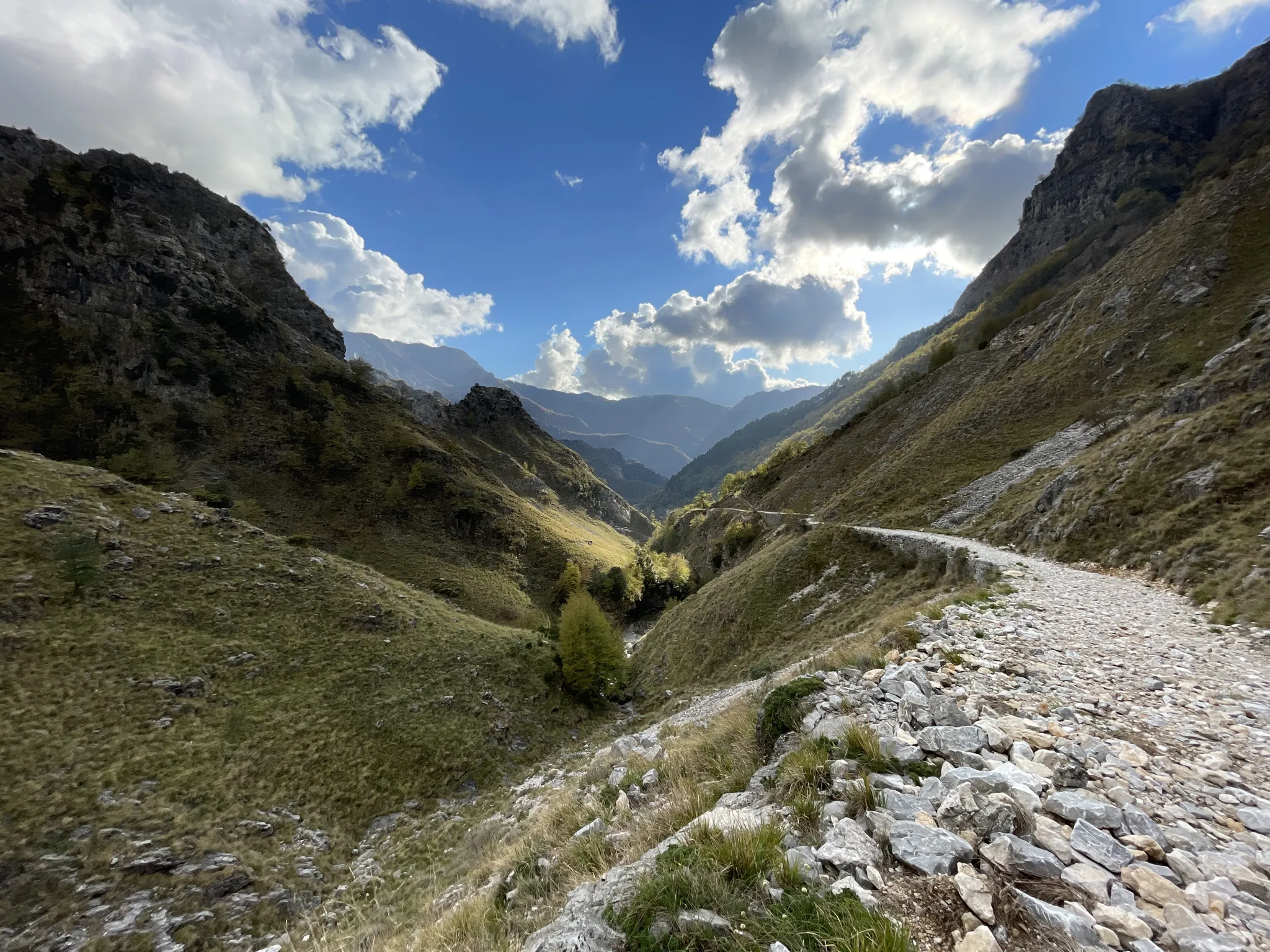
Jogging routes Camporgiano are set within the Garfagnana region of Tuscany, characterized by its position between the Apennine and Apuan Alps. The area features varied elevations, from riverside paths along the Serchio River to more challenging trails in the surrounding mountainous terrain. Natural features like the Orecchiella Nature Reserve offer immersive trail running experiences through beech woods. Historical routes, such as the Via del Volto Santo, also provide well-established pathways for running.
Best jogging routes around Camporgiano
- The most popular…
Last updated: August 23, 2026
19
runners
16.0km
01:46
350m
350m
Hard run. Very good fitness required. Mostly paved surfaces. Suitable for all skill levels.
5.0
(1)
13
runners
6.42km
00:44
200m
200m
Moderate run. Good fitness required. Mostly paved surfaces. Suitable for all skill levels.

Sign up for free
5.0
(2)
15
runners
12.7km
01:32
410m
410m
Hard run. Very good fitness required. Mostly paved surfaces. Suitable for all skill levels.
7
runners
9.79km
01:07
270m
260m
Moderate run. Good fitness required. Mostly paved surfaces. Suitable for all skill levels.
4.0
(1)
9
runners
3.81km
00:24
20m
20m
Easy run. Great for any fitness level. Mostly paved surfaces. Suitable for all skill levels.
Get access to more routes and recommendations from other explorers.
Sign up for free
Already have an account?
Our route recommendations are based on thousands of hikes, rides, and runs completed by other people on komoot.
Start today with a free account
Your next adventure awaits.
Login or Signup



Other adventures around Camporgiano

Tips from the Community

The lake of Gramolazzo is a lake in the Apuan Alps located near the homonymous village in the municipality of Minucciano. Of artificial origin, it was created in the second half of the 1900s, together with the lake of Vagli by SELT Valdarno for the hydroelectric use of the Serchio river and its tributaries. The lake, which has a surface area of one square kilometer and a volume of 3.8 million cubic meters, has both the Serchio di Gramolazzo as its inflow and outflow, one of the two branches that, joining near Piazza al Serchio, form the Tuscan river. Another important stream that flows into the lake is the Acqua Bianca stream, which coming from Mount Pisanino crosses the village of Gorfigliano. A large part of the water, however, is fed through a channel on the left bank, near the dam, which with a maximum flow rate of 20 cubic meters per second discharges the waters captured from the Serchio into the Sillano valley. The waters of the lake of Gramolazzo feed the Fabbriche power plant which in turn discharges them into the lake of Vagli.
0
0

The place is cool and quiet during the week. Canoe rentals are available for lake excursions.
0
0
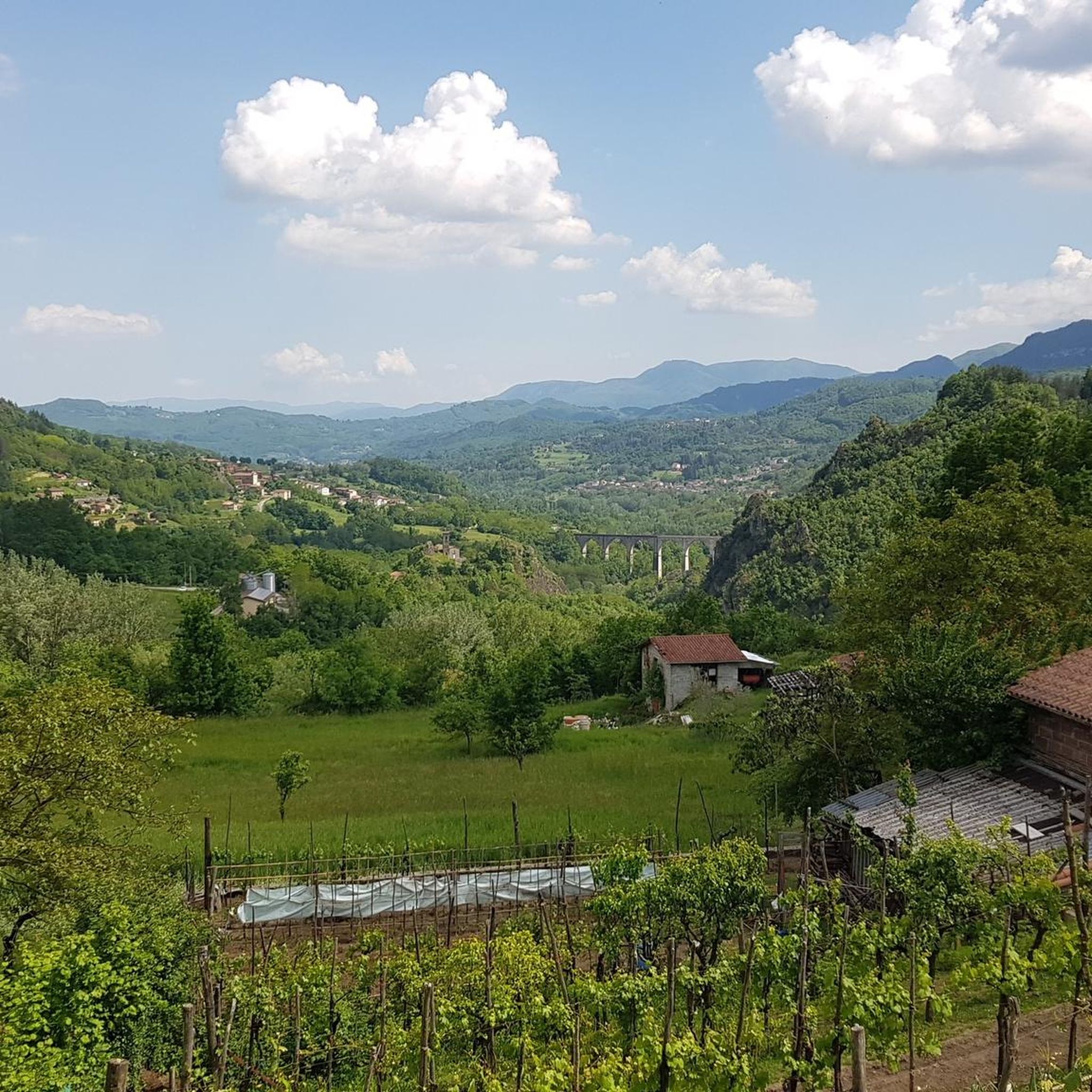
railway viaduct that was blown up by the retreating Germans during the Second World War and later rebuilt. At its highest point it is 54 m. from the surface of the Serchio River.
1
0

Lake Gramolazzo is located in the Apuan Alps park and is an artificial basin created with a dam on the Serchio river during the 1950s.
2
0
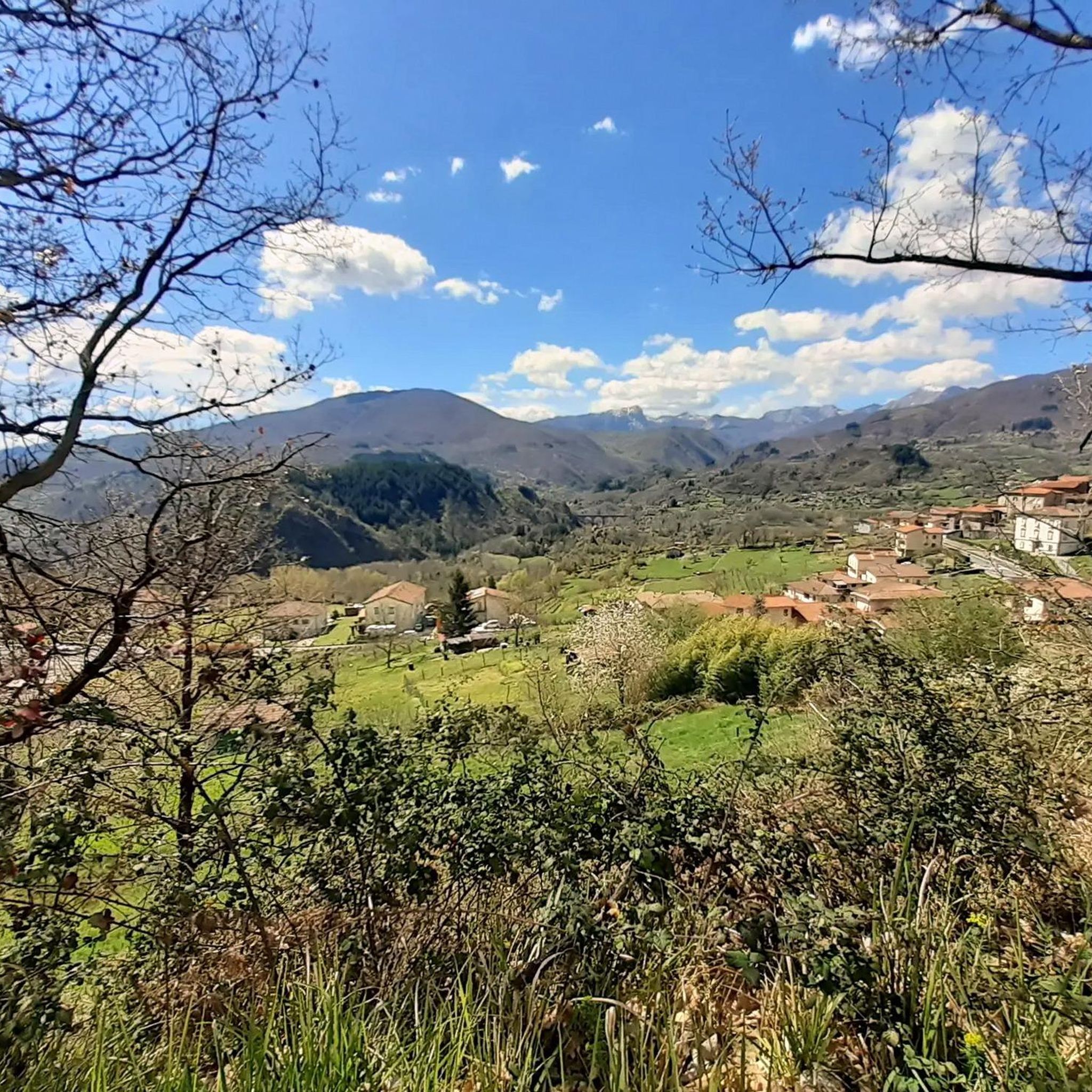
The church of Roggio, dedicated to San Bartolomeo, is in Romanesque style and is located on the highest point of the village. Here, given the privileged position, the castle originally stood, of which part of the city walls and two doors remain visible in the immediate vicinity of the church.
1
0

Good for a paddle, a dip, paddleboarding, kayaking - you name it, it goes on here!
1
0


A bit silly character, but maybe warms the blood of one or the other.
0
0
Frequently Asked Questions
How many running routes are available around Camporgiano?
There are over 70 running routes around Camporgiano, offering a wide range of options for different fitness levels and preferences. You'll find everything from easy riverside paths to more challenging mountainous trails.
What types of terrain can I expect on the jogging trails in Camporgiano?
The jogging trails in Camporgiano feature diverse terrain, from gentle riverside paths along the Serchio River to more challenging routes in the surrounding Apennine and Apuan Alps. You can expect varied elevations, including some well-established historical routes like the Via del Volto Santo.
Are there any easy running routes suitable for beginners or a relaxed jog?
Yes, Camporgiano offers several easy running routes. For instance, the area features gentle riverside paths along the Serchio River, which are ideal for beginners or those looking for a relaxed jog. There are 7 easy routes available in total.
Can I find challenging running trails for more experienced runners?
Absolutely. For experienced runners seeking a challenge, Camporgiano's mountainous terrain between the Apennine and Apuan Alps provides plenty of options. There are 28 difficult routes available, such as the Historic Village loop from Piazza al Serchio, which covers 9.5 miles (15.3 km) through varied terrain.
Are there any running routes that pass by historical landmarks or charming villages?
Many running routes in Camporgiano incorporate historical landmarks and charming villages. For example, the Historic Village loop from Camporgiano leads through local landscapes and historical villages. You can also find routes that pass by the imposing Rocca degli Estensi fortress or the beautifully restored Fortezza delle Verrucole, offering stunning views.
What natural features can I see along the running trails in Camporgiano?
The running trails in Camporgiano are rich with natural beauty. You can explore paths through the Orecchiella Nature Reserve with its beech woods, or enjoy picturesque views along the River Serchio. The region is also close to natural monuments like Grotta del Vento, and various lakes such as Lake Gramolazzo and Lake Vagli.
Are there any circular running paths in the Camporgiano area?
Yes, many of the running paths around Camporgiano are circular, making them convenient for starting and ending at the same point. A popular example is the Rocca Ariostesca loop from Castelnuovo di Garfagnana, a moderate 5.9-mile (9.5 km) route.
What do other runners enjoy most about jogging in Camporgiano?
The running routes in Camporgiano are highly rated by the komoot community, with an average score of 4.1 stars from more than 10 reviews. Runners often praise the varied terrain, from quiet riverside paths to challenging mountain trails, and the scenic views of historical landmarks and natural features.
Is Camporgiano a good destination for family-friendly running or walking?
Yes, Camporgiano offers options suitable for families. The gentler riverside paths along the Serchio River provide accessible routes for family walks or light jogs. The charming villages and historical sites also add interest for all ages.
Are there any running routes that offer scenic viewpoints?
Many running routes in Camporgiano provide scenic viewpoints, especially those in the mountainous areas between the Apennine and Apuan Alps. Trails leading to or around landmarks like the Fortezza delle Verrucole offer stunning panoramic views over the valley.
What is the best time of year for running in Camporgiano?
Camporgiano is enjoyable for running across multiple seasons. Spring and autumn offer pleasant temperatures and beautiful scenery, with vibrant foliage or blooming wildflowers. Summer can be warm, making early morning or late afternoon runs ideal, while winter offers a different, often quieter, experience on suitable trails.
Are there options for parking near the running trailheads in Camporgiano?
While specific parking details vary by trailhead, many routes around Camporgiano, especially those starting from towns or villages, offer convenient parking options. It's advisable to check the individual route details on komoot for the most accurate parking information.
Most popular routes around Camporgiano
Most popular attractions around Camporgiano

Get inspired with the komoot mobile app


Explore more
Browse the best Running Trails & Routes in other regions.
