The best walks and hikes around Magnago
4.3
(864)
5,122
hikers
334
hikes
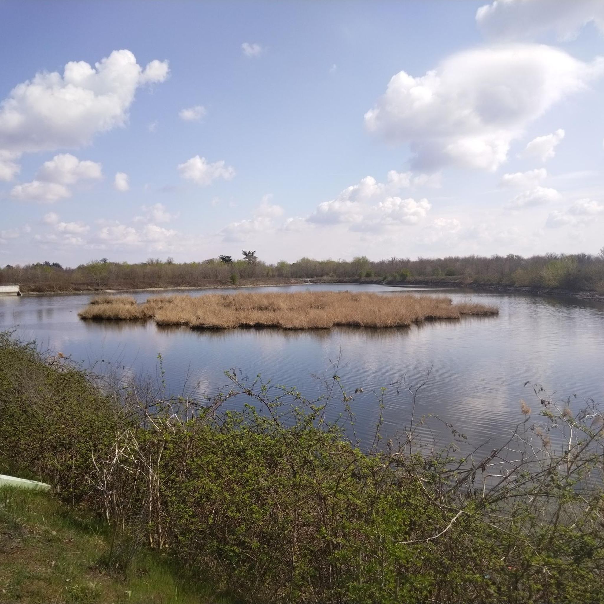
Hiking around Magnago, located in Italy's Lombardy region, offers diverse routes primarily characterized by flat terrain and proximity to significant waterways. The area features the Villoresi Canal, an 86-kilometer artificial canal, and is near the Ticino River and the Valle del Ticino Natural Park. These natural features provide a network of trails with minimal elevation gain, suitable for various fitness levels.
Best hiking trails around Magnago
- The most popular hiking route is Via Gaggio and Villoresi Canal Loop, a…
Last updated: July 7, 2026
4.5
(2)
6
hikers
18.5km
04:44
70m
70m
Moderate hike. Good fitness required. Easily-accessible paths. Suitable for all skill levels.
3.6
(8)
19
hikers
Moderate hike. Good fitness required. Easily-accessible paths. Suitable for all skill levels.

Sign up for free
20
hikers
Moderate hike. Good fitness required. Easily-accessible paths. Suitable for all skill levels.
3.8
(12)
15
hikers
18.5km
04:46
100m
100m
Moderate hike. Good fitness required. Easily-accessible paths. Suitable for all skill levels.
15
hikers
Easy hike. Great for any fitness level. Easily-accessible paths. Suitable for all skill levels.
Get access to more routes and recommendations from other explorers.
Sign up for free
Already have an account?
Our route recommendations are based on thousands of hikes, rides, and runs completed by other people on komoot.
Start today with a free account
Your next adventure awaits.
Login or Signup
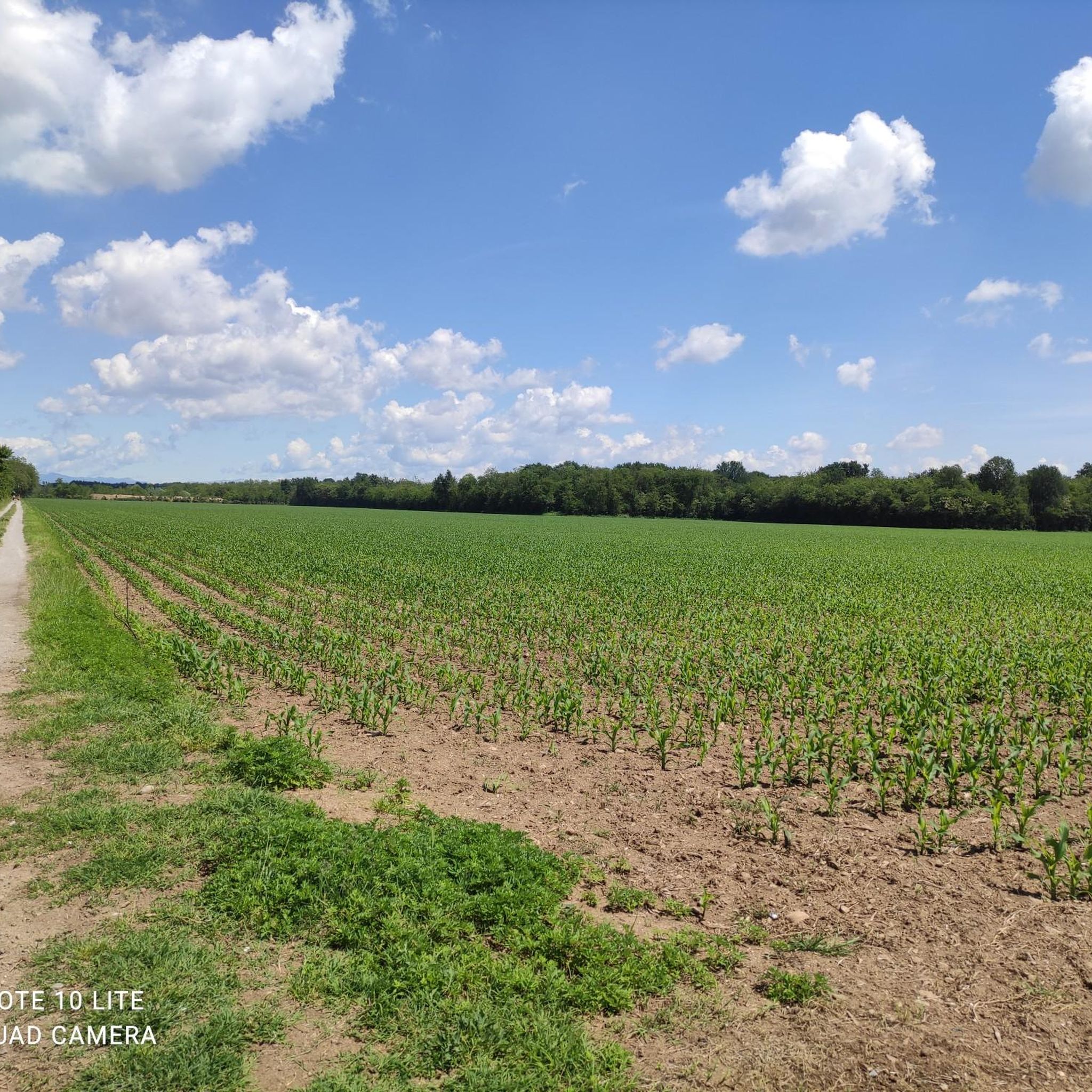
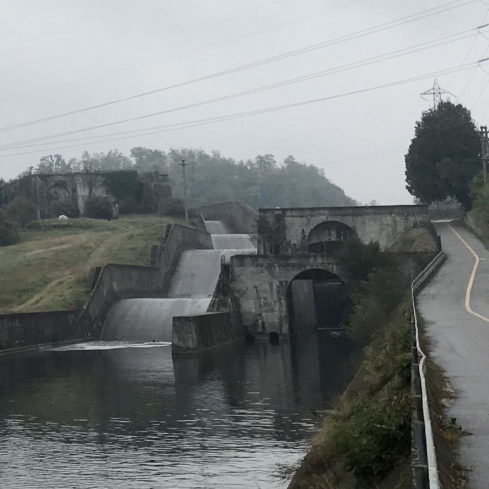
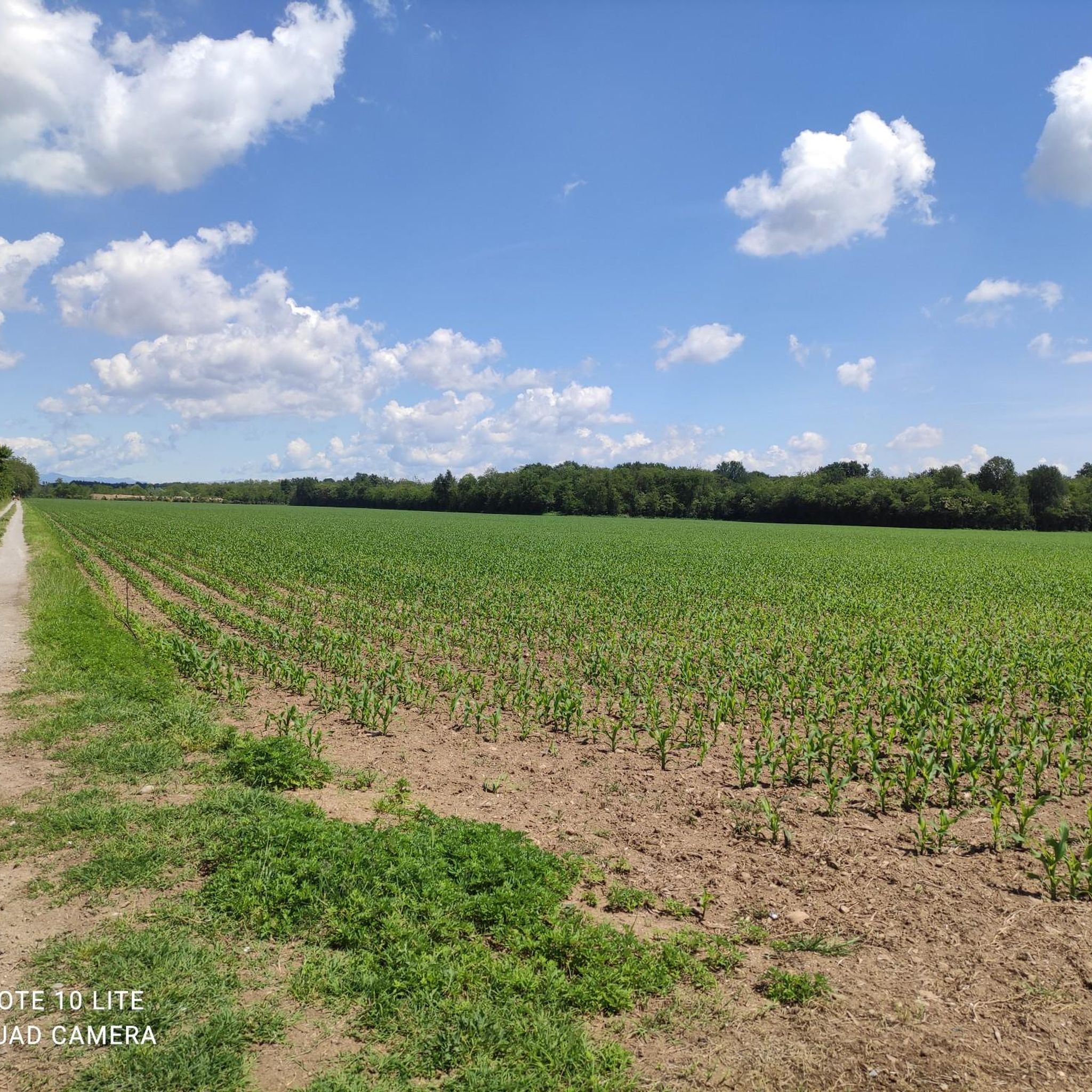
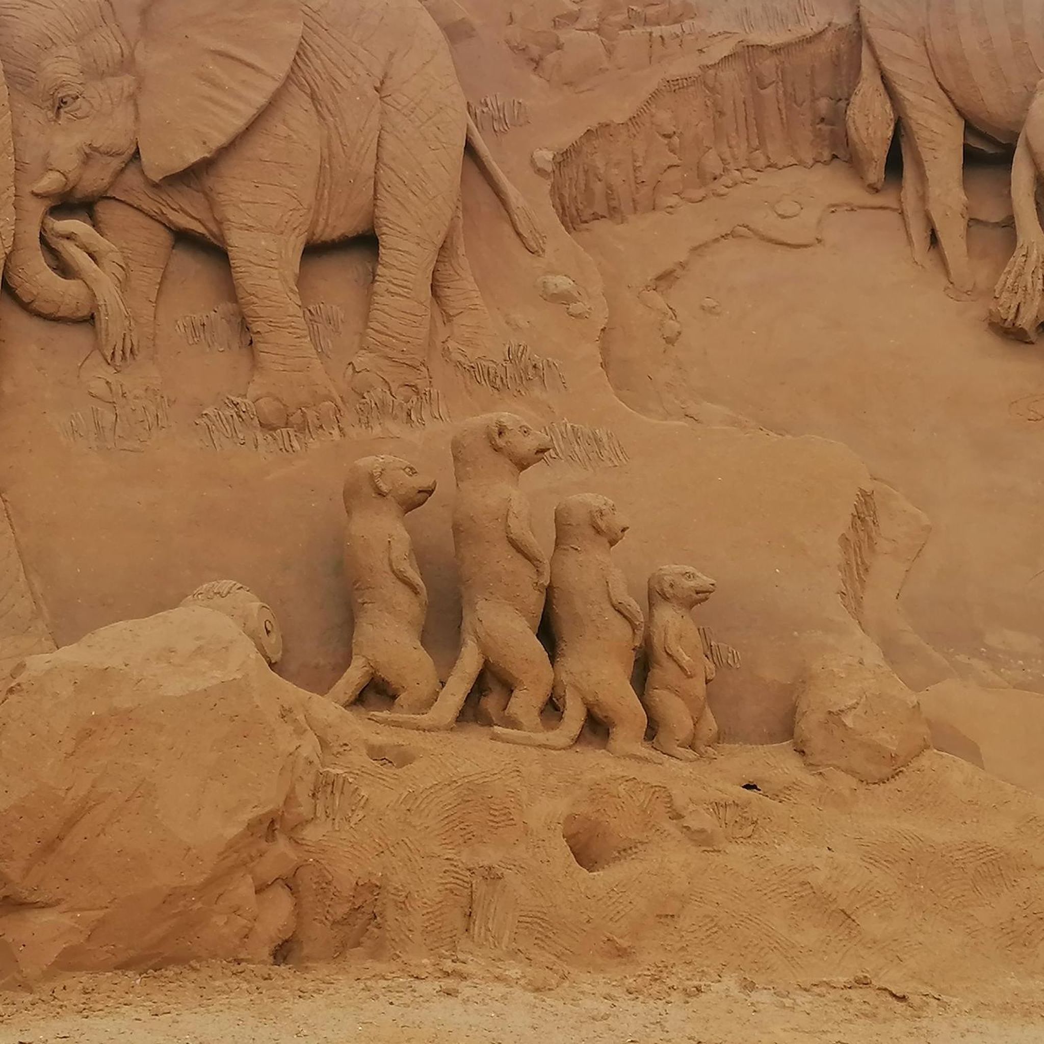
Tips from the Community

⛪ Visit it internally too... beautiful frescoes 🖌️🎨
0
0

iconic bar to stop for a break and meet other cyclists (sometimes even pros)
0
0


Circular tour
1
0
Panoramic point
1
0

This is a portion of the Strada Alzaia del Canale Villoresi and not a cycle path (nor a cycle-pedestrian path) as also stated by the signs placed by the Consorzio Villoresi Est which manages its maintenance. It would be a good idea for everyone to look on the consortium's website for the page regarding cycling and walking on the towpaths (for personal culture as much as to avoid "disputes" with anyone)
1
0

Bike lanes galore. Avoid in summer due to the huge presence of pedestrians.
0
1
Frequently Asked Questions
How many hiking trails are available around Magnago?
Magnago offers a wide variety of hiking opportunities, with over 280 routes listed on komoot. These trails cater to different preferences, ranging from easy strolls to more challenging excursions.
What kind of terrain can I expect on hikes around Magnago?
Hikes around Magnago are primarily characterized by flat terrain, making them accessible for various fitness levels. The routes often follow the banks of the Villoresi Canal and the Ticino River basin, providing scenic paths with minimal elevation gain.
Are there any easy hiking trails suitable for beginners or casual walkers?
Yes, Magnago has many easy trails. For example, the Fountain – Canal loop from Castano Primo is an easy 7.4 km route, and the Villoresi Canal in Buscate – War Memorial loop from Buscate is another easy option at 6.5 km, both offering pleasant walks along the canal.
What natural features or landmarks can I see while hiking in Magnago?
The region is rich in natural and historical features. You'll frequently encounter the historic Villoresi Canal and the Ticino River. Notable natural highlights include the La Foppa Wetland (San Vittore Olona) and the Paradés Oasis. You might also spot historical structures like the Iron Bridge Over the Villoresi Canal.
Are there any circular hiking routes in the Magnago area?
Yes, many routes around Magnago are circular, offering convenient starting and ending points. A popular option is the Via Gaggio and Villoresi Canal Loop, which is a moderate 18.5 km trail. Another great choice is the Canale Villoresi – Panoramic Square of Tornavento loop from Castano Primo, covering 18.4 km.
What do other hikers enjoy most about hiking in Magnago?
The area is highly rated by the komoot community, with an average score of 4.3 stars from over 800 reviews. Hikers often praise the peaceful paths along the Villoresi Canal, the flat and accessible terrain, and the blend of natural scenery with historical elements.
Are the hiking trails around Magnago suitable for families with children?
Yes, many of the trails, particularly the easy and moderate routes along the Villoresi Canal, are well-suited for families. Their generally flat terrain and scenic views make for enjoyable outings with children. Consider shorter, easy loops for younger family members.
Can I bring my dog on the hiking trails in Magnago?
Generally, dogs are welcome on trails in the Magnago area, especially along the Villoresi Canal and in natural park areas. However, it's always advisable to keep your dog on a leash and be mindful of local regulations, especially in protected natural spaces, to ensure a pleasant experience for everyone.
Is there parking available near the trailheads in Magnago?
Many popular trailheads and starting points in and around Magnago, especially in towns like Castano Primo or Buscate, offer parking facilities. It's common to find parking areas near the Villoresi Canal access points, making it convenient to start your hike.
What is the best time of year to go hiking in Magnago?
Spring and autumn are generally the best seasons for hiking in Magnago, offering pleasant temperatures and beautiful scenery. Spring brings blooming flora, while autumn showcases vibrant foliage. Summer can be warm, but early mornings or late afternoons are still enjoyable. Winter hikes are also possible, especially given the region's generally flat terrain.
Are there any routes that combine hiking with cycling paths?
Yes, the region is known for its multi-use paths. The Villoresi Canal Bridge – Villoresi Cycle Path🚲 loop from Castano Primo is a great example, following sections of the Villoresi Canal that are popular with both hikers and cyclists, offering a mix of natural scenery and established cycle paths.
Are there any historical sites to explore along the hiking routes?
Absolutely. The Villoresi Canal itself is a historical marvel, built for irrigation and transport. Many routes will take you past old bridges and structures that tell the story of the region's past. You can also find historical highlights like the Villa Clerici of Castelletto di Cuggiono or the Church of Saint Mary in Binda near some of the trails.
Most popular attractions around Magnago

Get inspired with the komoot mobile app


Explore more
Browse the best Hikes in other regions.
