The best walks and hikes around Sankt Michael im Burgenland
4.5
(276)
2,000
hikers
231
hikes
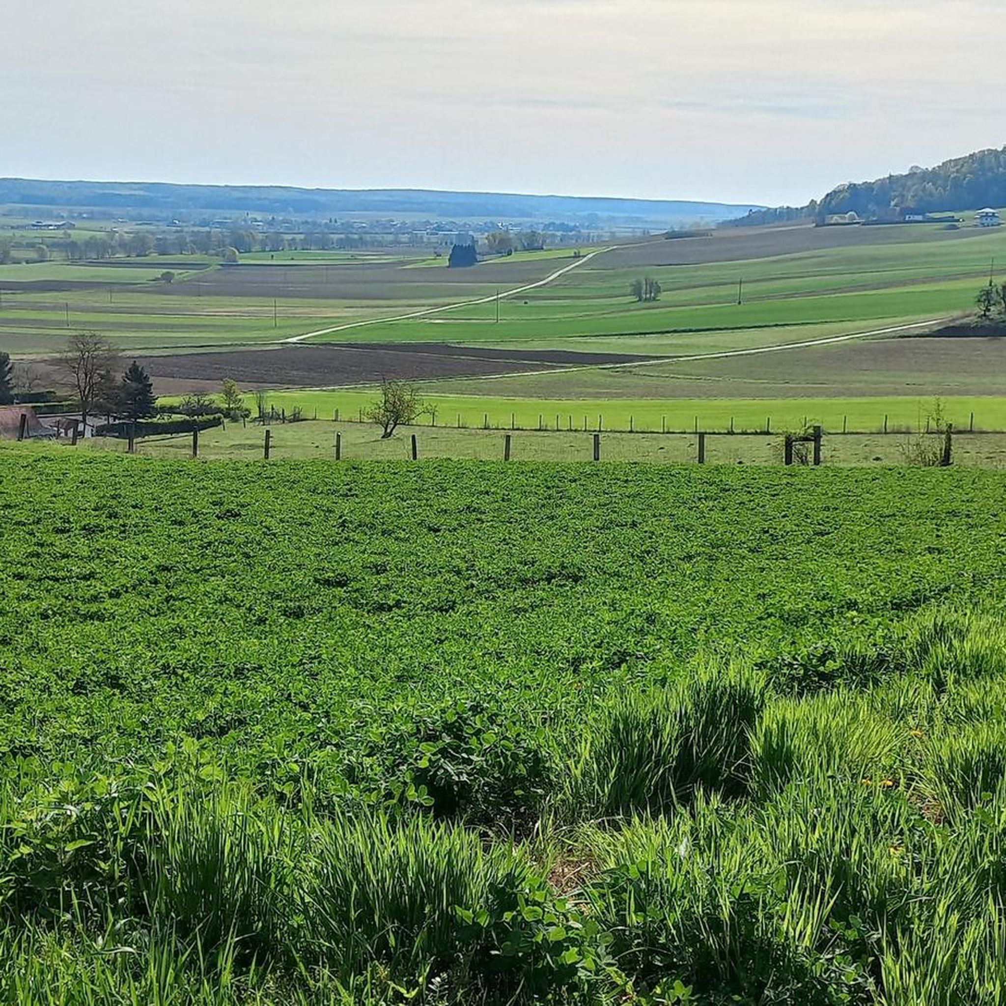
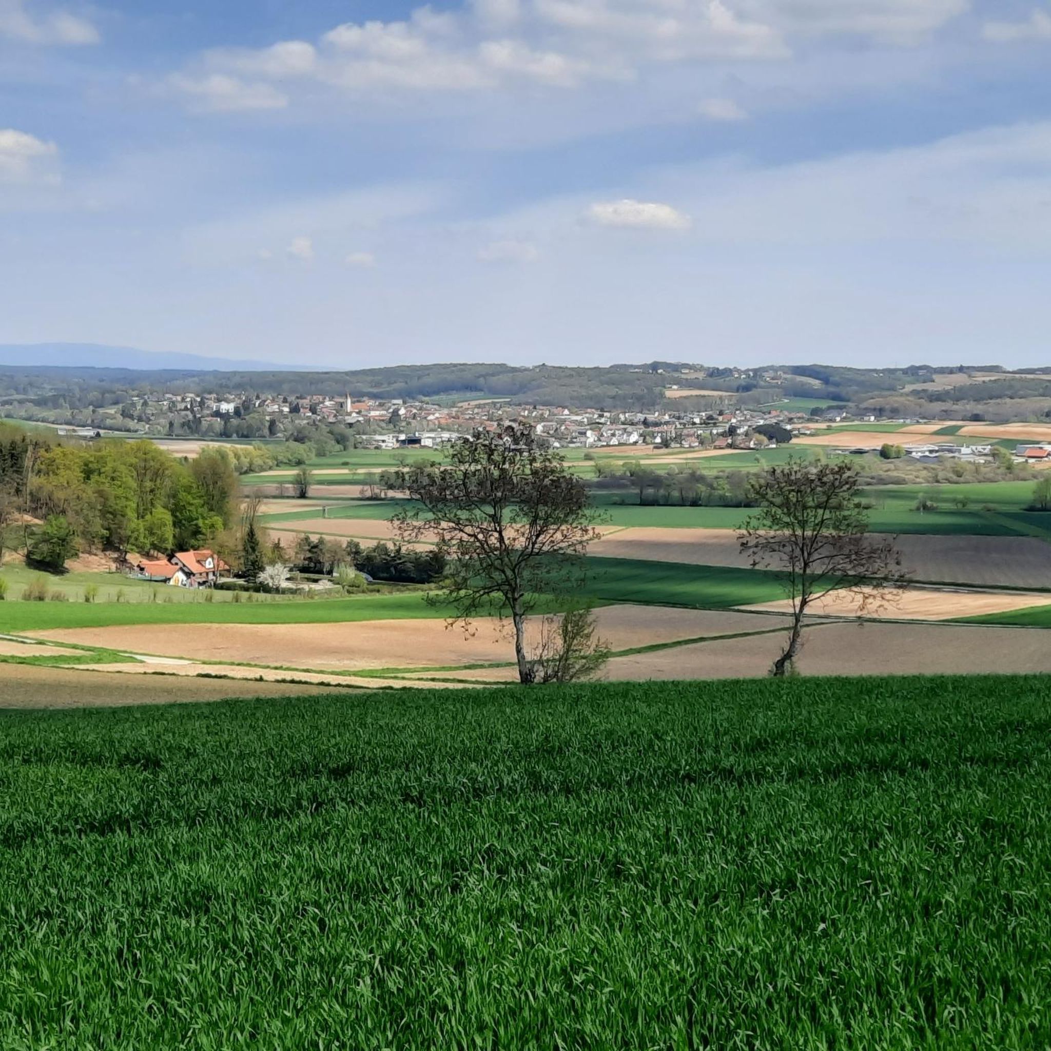
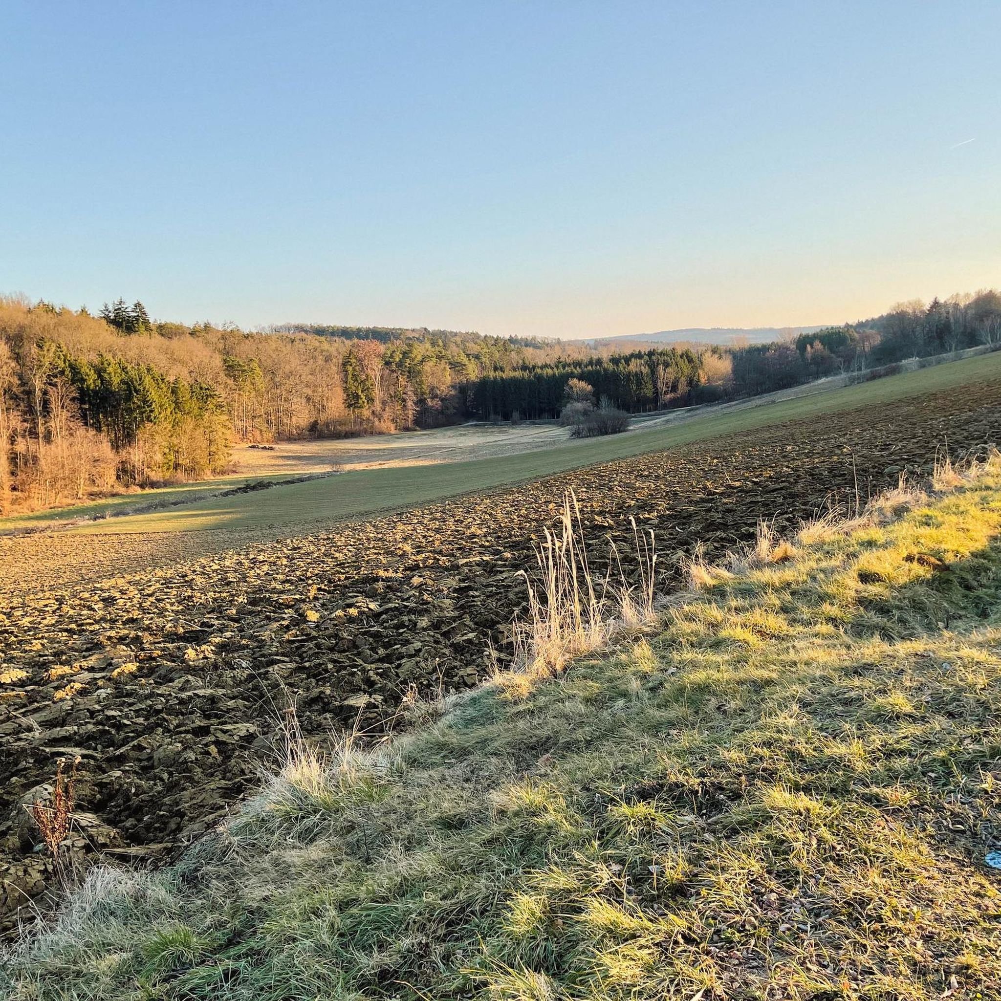
Hiking around Sankt Michael im Burgenland offers diverse natural landscapes, characterized by rolling hills, dense forests, and small streams. The region is situated at the foot of Geschriebenstein mountain, the highest elevation in Southern Burgenland. Hikers can explore the Pinkatal (Pinka Valley) with its various routes, or follow paths along the Strem River to the Rauchwart Reservoir. The area provides varied terrain suitable for different hiking preferences.
Best hiking trails around Sankt Michael im Burgenland
- The most popular hiking route…
Last updated: June 26, 2026
4.0
(2)
18
hikers
Easy hike. Great for any fitness level. Easily-accessible paths. Suitable for all skill levels.
4.5
(2)
8
hikers
Easy hike. Great for any fitness level. Easily-accessible paths. Suitable for all skill levels.

Sign up for free
3.0
(1)
4
hikers
Easy hike. Great for any fitness level. Easily-accessible paths. Suitable for all skill levels.
2
hikers
16.1km
04:08
70m
70m
Moderate hike. Good fitness required. Easily-accessible paths. Suitable for all skill levels.
3
hikers
Easy hike. Great for any fitness level. Easily-accessible paths. Suitable for all skill levels.
Get access to more routes and recommendations from other explorers.
Sign up for free
Already have an account?
Our route recommendations are based on thousands of hikes, rides, and runs completed by other people on komoot.
Start today with a free account
Your next adventure awaits.
Login or Signup

Tips from the Community

The restaurant is closed, which is no wonder
0
0
Always worth a trip or walk. A beautiful spot ... with a circular path for walking or cycling.
0
0

The Südweg is not yet marked on the maps.
0
0
The seating mound is located on the opposite bank of the Strem river and is therefore not accessible.
0
0
The beautiful river terraces are certainly a highlight.
0
0
The reservoir is also often referred to as a fish pond.
0
0
The reservoir is often referred to as a fish pond.
0
0
Frequently Asked Questions
How many hiking trails are available in Sankt Michael im Burgenland?
Sankt Michael im Burgenland offers a wide variety of hiking options, with over 240 routes recorded on komoot. These trails cater to all skill levels, from easy strolls to more challenging hikes.
What kind of landscape can I expect when hiking in Sankt Michael im Burgenland?
The region is characterized by its diverse natural landscape, featuring rolling hills, dense forests, and small streams. You'll find trails along the Pinkatal (Pinka Valley) and the Strem River, leading to the Rauchwart Reservoir. The area is also at the foot of Geschriebenstein mountain, offering varied terrain.
Are there any easy hiking trails suitable for beginners or families?
Yes, Sankt Michael im Burgenland is ideal for easy hikes, with 149 routes rated as 'easy'. Many trails are gentle, making them suitable for families. For example, the Fishing Educational Trail – Stausee Rauchwart loop from Rauchwart is an easy 2.4 km route exploring the reservoir area.
What are the best times of year to go hiking in Sankt Michael im Burgenland?
The best seasons for hiking in Sankt Michael im Burgenland are spring and autumn. During these times, the weather is mild, and the landscape is particularly vibrant with color, offering pleasant conditions for exploring the trails.
Are there any circular hiking routes in the area?
Yes, the region offers several circular routes. A popular option is the Stausee Rauchwart – Bridge Over the Strem River loop from Rauchwart, an easy 4.3 km path that provides views of the reservoir and follows the Strem River. The Pinkatal also features the 'Pinkatal-Panorama' circular hiking trail.
What attractions or landmarks can I see while hiking around Sankt Michael im Burgenland?
Beyond the natural beauty, you can explore historical sites and castles nearby. Consider visiting Güssing Castle, a prominent landmark, or the Franciscan Monastery and Basilica of the Visitation in Güssing. The Großpetersdorf–Rechnitz Rail Trail also offers a unique way to experience the area.
Are there any long-distance hiking trails accessible from Sankt Michael im Burgenland?
Yes, Sankt Michael im Burgenland is close to significant long-distance trails. The 'Bernstein Trail' traverses Burgenland for about 310 km, and the 'alpannonia®' long-distance hiking trail connects the foothills of the Alps with the Pannonian Plain, both offering impressive panoramic views.
What do other hikers say about the trails in Sankt Michael im Burgenland?
The routes in Sankt Michael im Burgenland are highly rated by the komoot community, with an average score of 4.6 stars from over 250 reviews. Hikers often praise the gentle landscapes, well-maintained paths, and the peaceful atmosphere of the rolling hills and forests.
Are there any challenging hikes for experienced trekkers?
While the region is known for its gentle landscapes, there are a few more challenging options. Out of the 240 routes, 4 are rated as 'difficult'. These typically involve more significant elevation changes, especially around the Geschriebenstein mountain, the highest point in Southern Burgenland.
Can I find trails that lead to scenic viewpoints or panoramic vistas?
Absolutely. The Geschriebenstein mountain, at 884 meters, features an observation tower at its summit, offering breathtaking panoramic views of the surrounding landscape. Many trails in the area, particularly those with higher elevations, will lead to scenic overlooks.
Is Sankt Michael im Burgenland a good place for nature observation?
Yes, the region is excellent for nature observation. Its proximity to the Raab-Örség-Goričko Nature Park means you can find themed trails and interactive stations designed to help visitors learn about the local flora and fauna, making it an engaging experience for all ages.
Are there any trails that pass by water features like lakes or rivers?
Many trails in the area incorporate water features. You can enjoy pleasant hikes along the Strem River, leading to the Rauchwart Reservoir. The Restaurant and Lake Terrace – Rauchwart Lake Restaurant loop from Rauchwart is an easy 2.7 km route that stays close to the lake.
Most popular routes around Sankt Michael im Burgenland
Most popular attractions around Sankt Michael im Burgenland

Get inspired with the komoot mobile app


Explore more
Browse the best Hikes in other regions.
