The best walks and hikes around Castellaneta
4.3
(280)
1,000
hikers
47
hikes
Hiking around Castellaneta features a landscape defined by deep ravines and the impressive Gravina di Castellaneta canyon. The region is characterized by limestone formations and varied Mediterranean vegetation, offering diverse natural environments for exploration. These geological features create unique hiking trails with panoramic viewpoints and varied terrain.
Best hiking trails around Castellaneta
- The most popular hiking route is View of Gravina Santa Lucia – Steam Locomotive loop from Palagianello, a 8.1 miles (13.1 km) trail that takes 3 hours…
Last updated: August 18, 2026
4.3
(3)
6
hikers
11.7km
03:23
290m
290m
Moderate hike. Good fitness required. Easily-accessible paths. Suitable for all skill levels.
4.7
(3)
10
hikers
5.84km
01:40
130m
130m
Easy hike. Great for any fitness level. Easily-accessible paths. Suitable for all skill levels.

Sign up for free
9
hikers
12.0km
03:14
150m
150m
Moderate hike. Good fitness required. Easily-accessible paths. Suitable for all skill levels.
4.5
(4)
7
hikers
Moderate hike. Good fitness required. Easily-accessible paths. Suitable for all skill levels.
4.5
(2)
5
hikers
12.6km
03:30
220m
220m
Moderate hike. Good fitness required. Easily-accessible paths. Suitable for all skill levels.
Get access to more routes and recommendations from other explorers.
Sign up for free
Already have an account?
Our route recommendations are based on thousands of hikes, rides, and runs completed by other people on komoot.
Start today with a free account
Your next adventure awaits.
Login or Signup

Tips from the Community


By the street artist Tommaso Resta, known as Tommy il Monello. The work, a clear sign of a new beginning, portrays two children embracing each other, giving each other energy and pure love. «We decided to make it happen - the comment of Mayor Borracci and Councilor Galante - with the hope of looking to the future with enthusiasm, soon putting this negative period linked to the pandemic behind us.
0
0
Monello ist a street artist from Puglia.
0
0
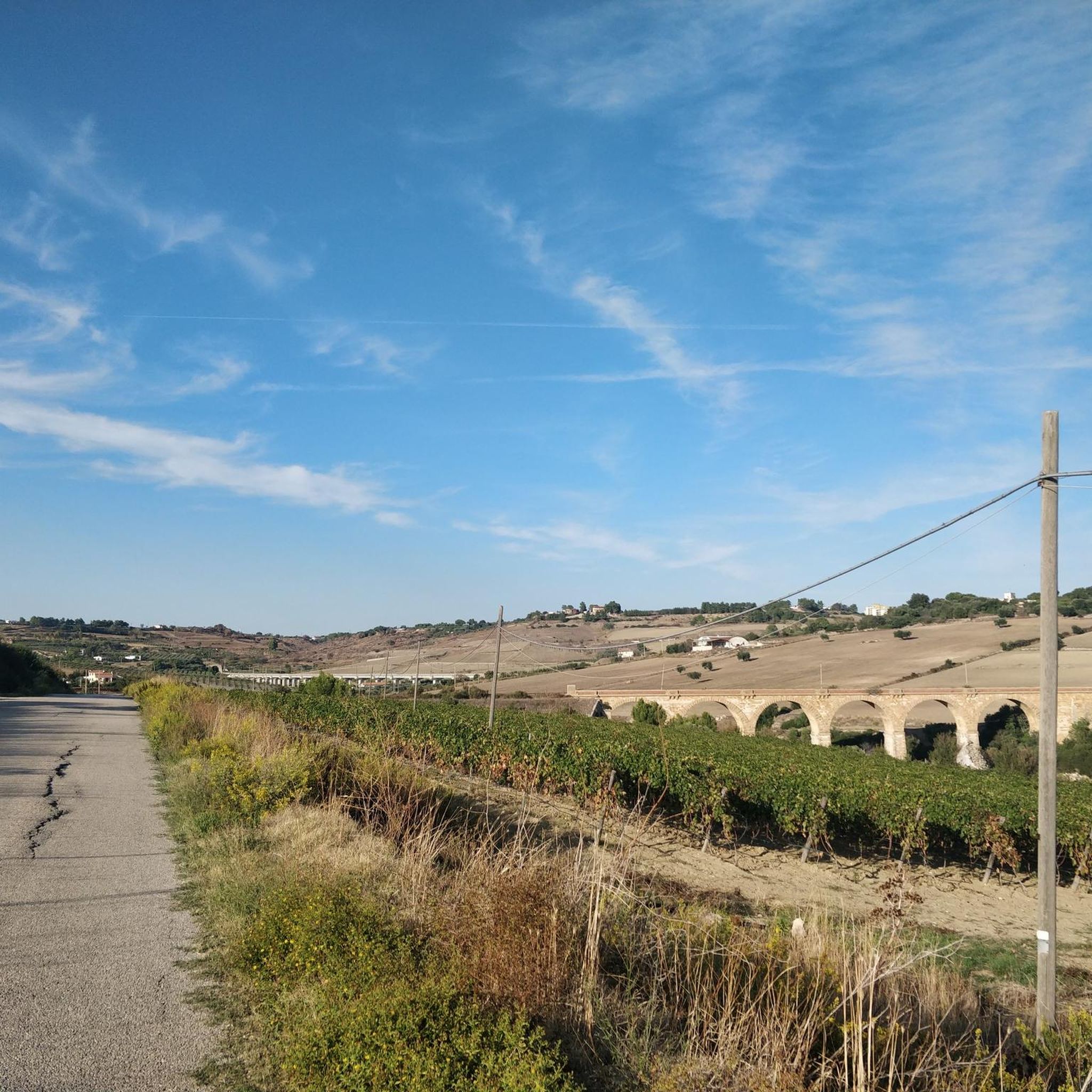
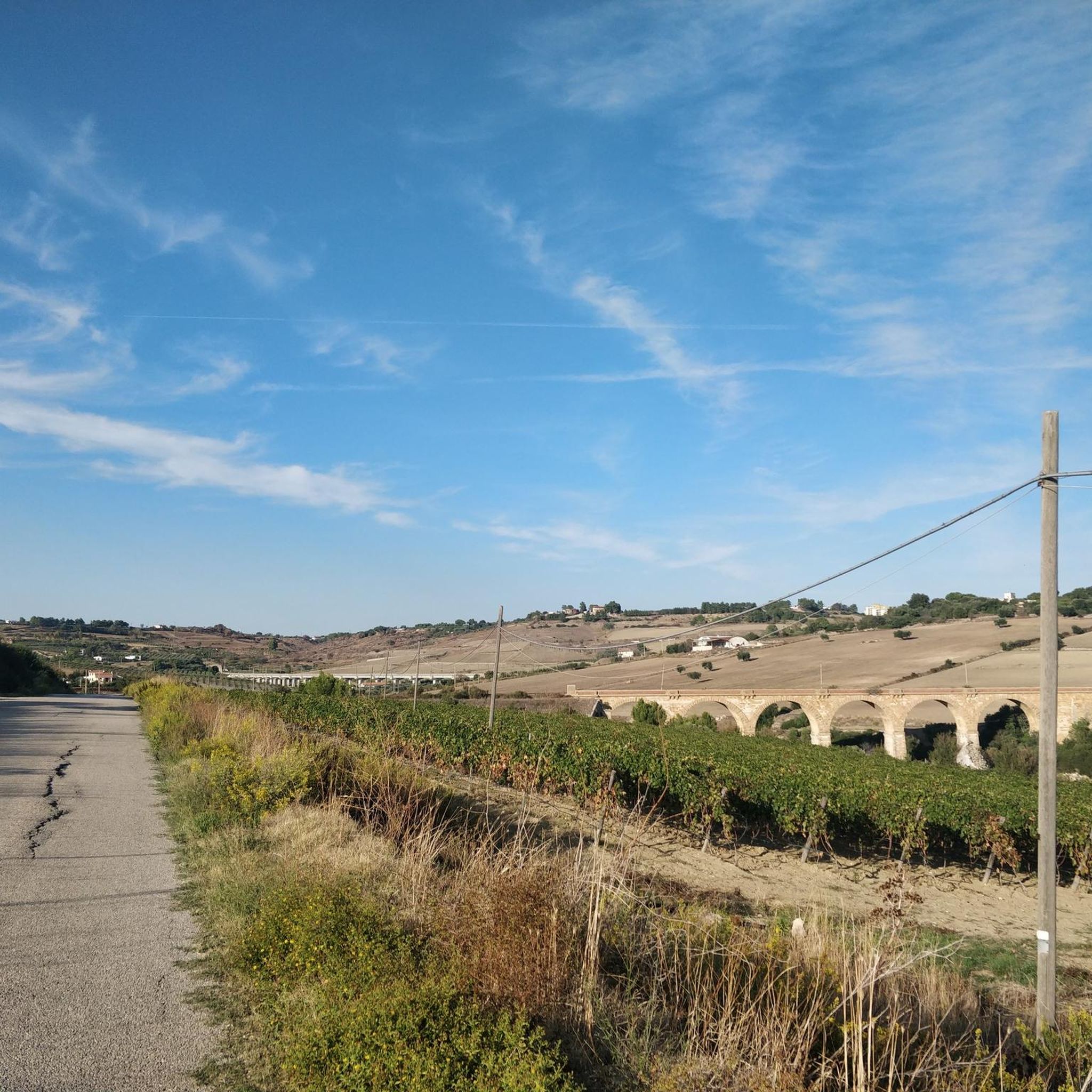
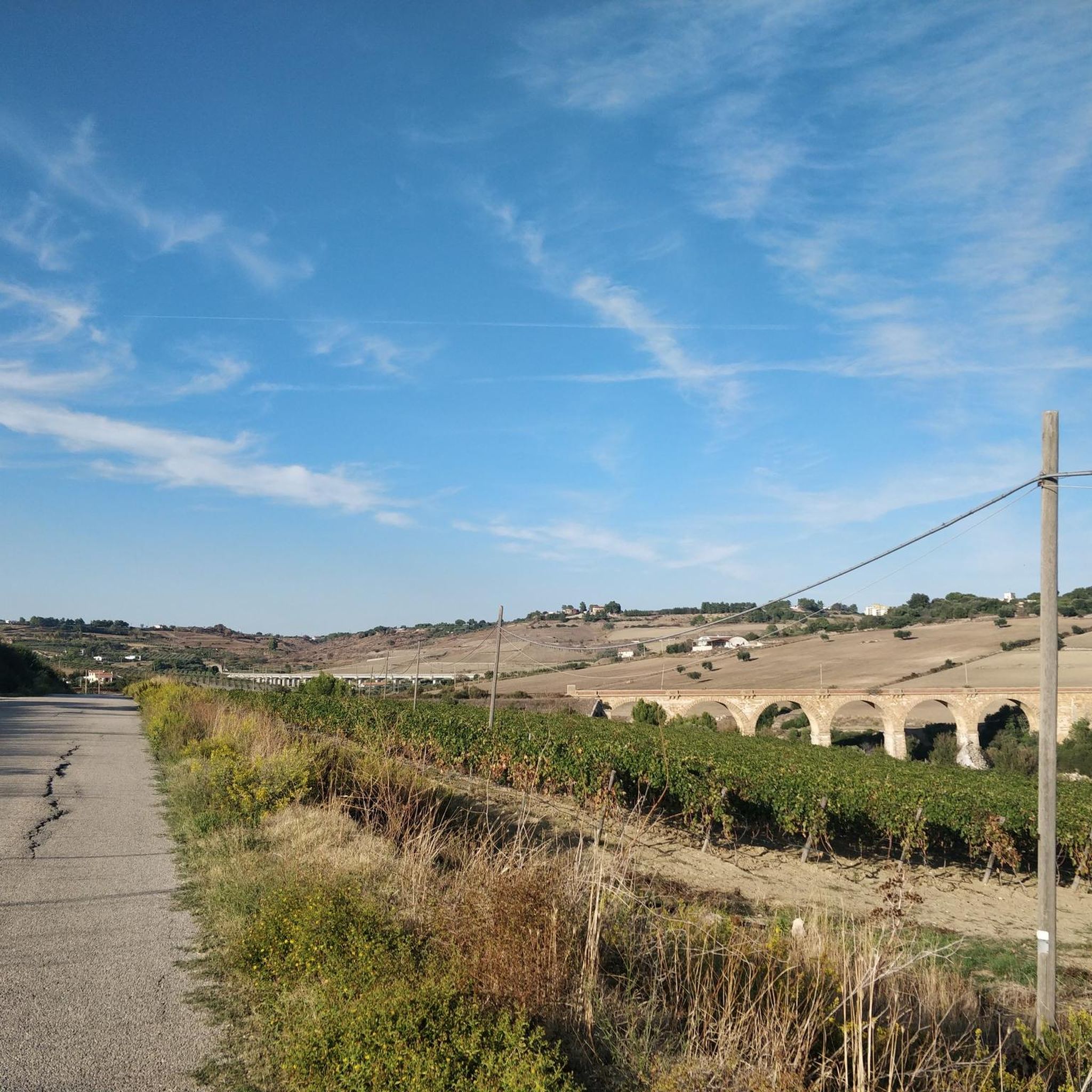
Two railway bridges (one current, one now uses as bicycle/pedestrian path) parallel to each other over the Gravina di Santa Lucia/Gravina Grande.
0
0
The first documents about the rupestrian settlement of Pesco date back to 1236, but legend has it that the construction of the church took place as an ex voto by an English captain, led to safe shore by a mysterious light during a stormy night in the Ionian Sea. The search for the miraculous light bought the captain on the edge of the ravine, where in one of the caves of the rock settlement, with an entrance facing the sea, a votive lamp was lit in front of a painting of the Virgin with Child. Here he built the ship-shaped building and from that moment on, people began to call it "Our Lady of the Light". Other sources associate the name "Pesco" to "piscus" or rocky spur, and it is precisely in this position that the church still stands today. The church has a Romanesque facade with some Gothic elements. The rould-arched main portal has prothyrun and columns decorated with vegetal, animal and fantastic motifs. The rose window ist flanked by two lions in profile on asymmetrical frames. In the left side of the nave, the portal leads to a small courtyard and to the rupestrian settlement (about 300m from the church).
0
0
The original church, dedicated to the patron saint of Castellaneta Saint Nicholas, was built in the second half of the 11th century and renovated several times. In the 14th century it was rebuilt following the Apulian Romanesque style and dedicated to Our Lady of Assumption, while in the 17th and 18th century the new Baroque taste erased almost every trace of the original structure.
0
0
One of the most ancient churches in Castellaneta, it was founded with the name of Out Lady of Mercy in 1523. In 1542, the congregation of Santa Maria della Misericordia was established in the church. Its members, in addition to taking care of the building, had to run a hospital near the Porta Grande, the Main city gate. When the convent of the Capuchin Poor Clares was founded in 1647, the church was granted to the nuns.
0
0
The Grotta Croce (The Cross Grotto) is a natural cavity set in the walls of the canyon. This cave ist home to several birds, including kestrels and swifts and if you are lucky, you can spot the eagle that inhabits the area.
0
0
Frequently Asked Questions
How many hiking trails are available around Castellaneta?
There are over 40 hiking routes around Castellaneta, offering a wide range of options for different skill levels and preferences. The landscape is characterized by deep ravines and limestone formations, providing unique natural environments to explore.
Are there easy hikes suitable for beginners in Castellaneta?
Yes, Castellaneta offers a good selection of easy hikes. Approximately 20 routes are classified as easy, making them ideal for beginners or those looking for a relaxed walk through the region's distinctive Mediterranean vegetation and geological features.
Are there any challenging or advanced hiking trails in the area?
For experienced hikers seeking a challenge, there are 3 difficult routes around Castellaneta. These trails often involve more significant elevation changes and rugged terrain, providing a more strenuous exploration of the gravinas.
Can I find circular hiking routes around Castellaneta?
Many of the trails around Castellaneta are designed as circular routes, allowing you to start and end at the same point. An example is the View of Castellaneta loop from II Casone, which offers a moderate 7.2-mile (11.7 km) hike with views of the town.
What kind of natural attractions or viewpoints can I expect on the trails?
The hiking trails in Castellaneta are known for their dramatic geological features. You can expect panoramic viewpoints overlooking the deep ravines, such as the Gravina di Castellaneta. The View of the Gravina Grande of Castellaneta from the Ponte di Santa Lucia is a notable highlight.
Are there any historical or cultural landmarks to see while hiking?
Yes, the region offers several interesting landmarks. For instance, the Santa Lucia Bridge – Cathedral of Castellaneta loop from Castellaneta explores local historical sites. You might also encounter the Historic Center and Ravine of Laterza or the Grotta Croce in Laterza, which are accessible from some routes.
Are the hiking trails in Castellaneta suitable for families with children?
Many of the easier and moderate routes are suitable for families, especially those looking for walks through the unique landscape. The trails generally offer varied terrain and interesting sights, but it's always recommended to check the specific route details for distance and elevation before heading out with children.
Is it possible to hike with dogs on the trails around Castellaneta?
Generally, dogs are welcome on hiking trails in the Castellaneta area, but it's always advisable to keep them on a leash, especially in areas with wildlife or near agricultural land. Ensure you carry enough water for your pet, as natural water sources might be limited, particularly during drier seasons.
What is the best time of year to go hiking in Castellaneta?
The best time to hike in Castellaneta is typically during the spring (April-May) and autumn (September-October). During these seasons, the weather is milder, and the Mediterranean vegetation is vibrant. Summers can be very hot, making early morning or late afternoon hikes more comfortable, while winters are generally mild but can be damp.
Are there any trails that feature waterfalls or significant water bodies?
The landscape around Castellaneta is primarily characterized by deep, dry ravines (gravinas) and limestone formations, rather than large rivers or waterfalls. While you might find seasonal streams after heavy rainfall, the region is not known for permanent waterfalls or significant natural water bodies along its hiking trails.
What do other hikers say about the trails in Castellaneta?
The hiking routes in Castellaneta are highly rated by the komoot community, with an average score of 4.3 stars from over 225 reviews. Hikers often praise the unique geological formations, the stunning views into the gravinas, and the peaceful atmosphere of the Mediterranean scrubland.
Where can I find trailheads and parking for hikes in Castellaneta?
Trailheads for hikes around Castellaneta are often located near the town itself or in surrounding villages like Palagianello. Parking is generally available in these starting points, though it's recommended to check specific route descriptions for detailed information on access and parking facilities.
Most popular routes around Castellaneta
Most popular attractions around Castellaneta

Get inspired with the komoot mobile app


Explore more
Browse the best Hikes in other regions.
