The best cycling routes around Braone
4.5
(275)
3,807
riders
109
rides
Touring cycling routes around Braone traverse the diverse landscapes of Valle Camonica, featuring the Oglio River and imposing mountain groups like Adamello and Pizzo. The terrain varies from flat stretches along the river to more demanding routes through mountainous areas, including old roads and mule tracks. Cyclists can experience a mix of forests, valleys, and panoramic views of the Alps.
Best touring cycling routes around Braone
- The most popular touring cycling route is View of Losine – Cividate-Breno Cycle Tunnel…
Last updated: October 8, 2026
4.6
(70)
410
riders
Moderate bike ride. Good fitness required. Mostly paved surfaces. Suitable for all skill levels.
4.7
(6)
117
riders
54.6km
04:15
1,190m
1,190m
Hard bike ride. Very good fitness required. Mostly paved surfaces. Suitable for all skill levels.

4.3
(3)
79
riders
34.5km
03:37
1,520m
1,520m
Hard bike ride. Very good fitness required. You may need to push your bike for some segments of this route.
4.7
(7)
97
riders
52.9km
03:43
740m
740m
Hard bike ride. Very good fitness required. Mostly paved surfaces. Suitable for all skill levels.
4.7
(3)
46
riders
32.4km
02:59
1,240m
1,240m
Hard bike ride. Very good fitness required. Mostly paved surfaces. Suitable for all skill levels.
Get access to more routes and recommendations from other explorers.
Already have an account?
Our route recommendations are based on thousands of hikes, rides, and runs completed by other people on komoot.
Start today with a free account
Your next adventure awaits.

Tips from the Community


By train to Edolo and then by bike up to Ponte di legno. The next day, departure in four stages to Mantua. Beautiful cycle path. Recommended
0
0

The Rifugio Colombé is a highly appreciated mountain hut above Paspardo (Valcamonica), easily accessible and perfect for a scenic hike. It is located at an altitude of 1710 m and offers access to numerous itineraries towards Monte Colombé, Passo della Porta, Lago d’Arno, and the rock art area. 📍 Location - Location: Monte Colombé, Paspardo (BS) - Coordinates: 46.04454 N, 10.38432 E - Useful address: Via Zumella, Paspardo (most common starting point) 🥾 How to get there From Paspardo – CAI Trail 117 / 127 - Departure: Via Zumella – Centro Faunistico del Parco dell’Adamello (1100 m) - Arrival: Rifugio Colombé (1710–1850 m, depending on sources) - Elevation gain: ~750 m - Time: 1h40 – 2h30 - Difficulty: E (Hiking) The path is well-marked, starts in the woods, and then opens up to panoramic clearings with views of Valcamonica. From Cimbergo - Time: ~3h - Elevation gain: ~850 m 🏔️ What to see and do in the surroundings - Monte Colombé - Cima Barbignaga (2367 m) - Passo della Porta (connection towards Lago d’Arno) - Corno delle Pile (2899 m) - Pizzo Badile Camuno (2435 m) - Rock art sites of the Adamello Park 🛖 The hut - Manager: Massimo Alessandria - Phone: 366 503 3070 - Email: info@rifugiocolombe.it / massimo@rifugiocolombe.it - Beds: 35–37 - Lunch seats: ~90 indoors + 50 outdoors - Opening: often on request (always check) - Half board: €55–60 The hut is known for: - home-style cooking - warm welcome - splendid panoramic terrace overlooking Valcamonica
0
0

Nice, historic, relaxing...a beautiful ride along the Oglio cycle path.
0
0

Stone bridge with nice views around. The river was brown due to heavy rain some hours earlier.
1
0

To reach Montecchio di Darfo, starting from Boario, you cross the so-called "Roman bridge." It is a scenic 24-meter, single-span bridge, built from blocks of granite and Simona stone in 1686, over the remains of an older bridge that connected the medieval castle on Monticolo to the opposite bank of the river. It has been recognized as a national monument.
0
0

Characteristic location on the Iseo lakefront, not to be missed during a cycle-tourist itinerary. Unique panorama and setting
0
0

Beautiful village to see and stop for refreshments...
0
0
Frequently Asked Questions
How many touring cycling routes are available around Braone?
There are over 100 touring cycling routes around Braone, offering a wide variety of experiences. This includes 9 easy routes, 25 moderate routes, and 82 difficult routes, catering to all skill levels.
What kind of terrain can I expect on touring cycling routes near Braone?
The terrain around Braone is incredibly diverse. You'll find everything from flat, easy stretches along the Oglio River to more demanding routes through mountainous areas, including old roads and mule tracks that offer panoramic views of the Alps. The region encompasses forests, valleys, and challenging ascents into imposing mountain groups like Adamello and Pizzo.
Are there any easy touring cycling routes suitable for beginners or families?
Yes, there are several easy routes perfect for beginners or families. For example, the Cividate-Breno Cycle Tunnel – Cividate Camuno Riverside loop from Niardo is an easy 19.7 km route with minimal elevation gain, offering a pleasant ride along the riverside.
What are some challenging touring cycling routes for experienced riders?
Experienced riders seeking a challenge will find plenty of options. Consider the Rifugio Passo Crocedomini – Passo Crocedomini loop from Niardo, a difficult 65.3 km route with over 2,400 meters of elevation gain. Another demanding option is the Rifugio Colombè loop from Ceto - Cerveno, which covers 32.1 km with significant elevation through mountainous terrain.
Can I find circular touring cycling routes around Braone?
Yes, many of the touring cycling routes around Braone are designed as loops, allowing you to start and end at the same point. Examples include the View of Losine – Cividate-Breno Cycle Tunnel loop from Ceto - Cerveno and the View of Castello di Breno – Breno Castle loop from Niardo, both offering varied landscapes and points of interest.
What are the best times of year to go touring cycling in Braone?
The best times for touring cycling in Braone are generally spring and autumn, when the weather is mild and the landscapes are vibrant. Summer can also be excellent, especially for higher mountain routes, though lower valley paths might be warmer. Winter cycling is possible, but some higher elevation routes may be inaccessible due to snow.
Are there any scenic viewpoints or natural attractions along the cycling routes?
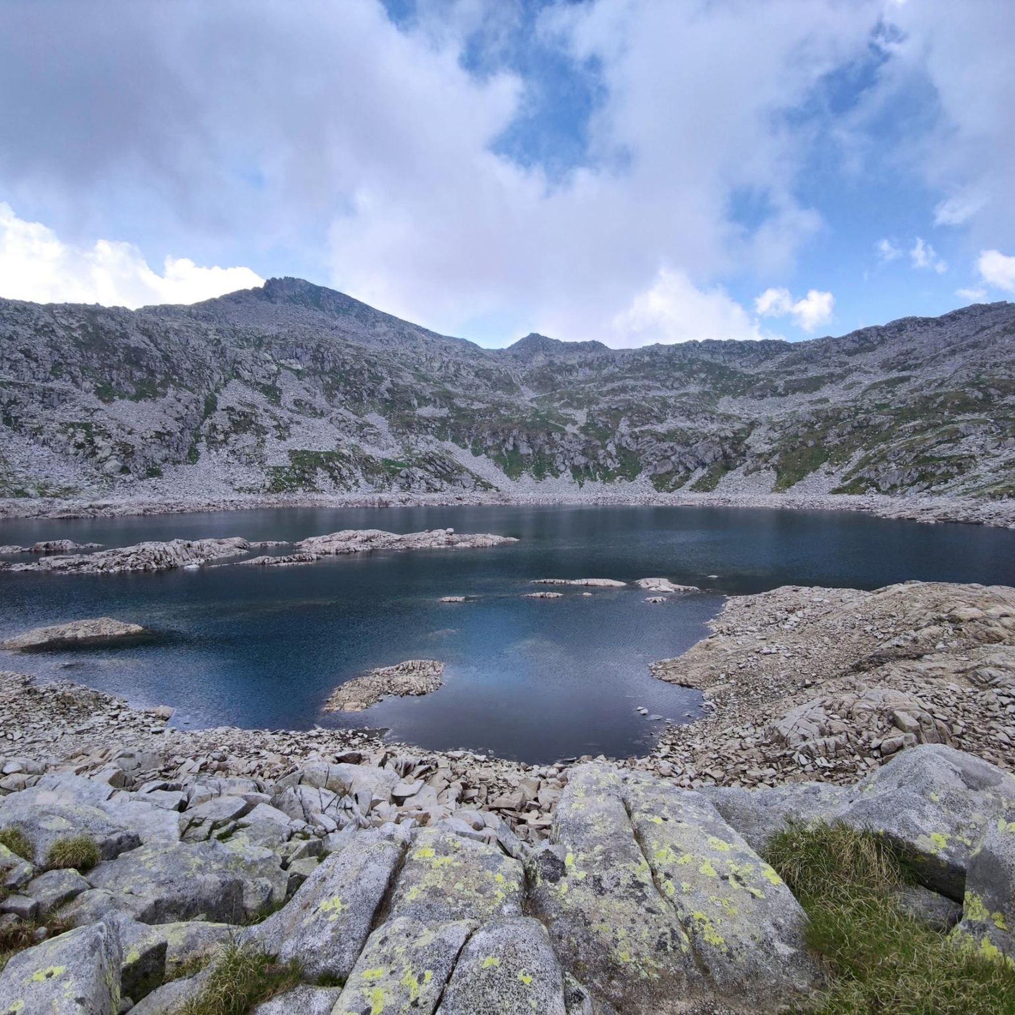
Absolutely. The region is rich in natural beauty. You can cycle past stunning features like Lova Lake, or experience the grandeur of mountain passes such as Campelli Pass and Passo Crocedomini. Many routes offer panoramic views of the Alps and the picturesque Valle Camonica.
What historical or cultural sites can I explore while cycling near Braone?
Cycling routes often pass by significant historical and cultural sites. You can explore the Cividate Camuno Archaeological Park, which offers insights into the region's ancient past. Braone itself features ancient stone houses and gothic-arched doorways. The View of Castello di Breno – Breno Castle loop from Niardo, for instance, leads through varied landscapes including historical points of interest like Breno Castle.
Is the Oglio River Greenway accessible from Braone, and what is it like?
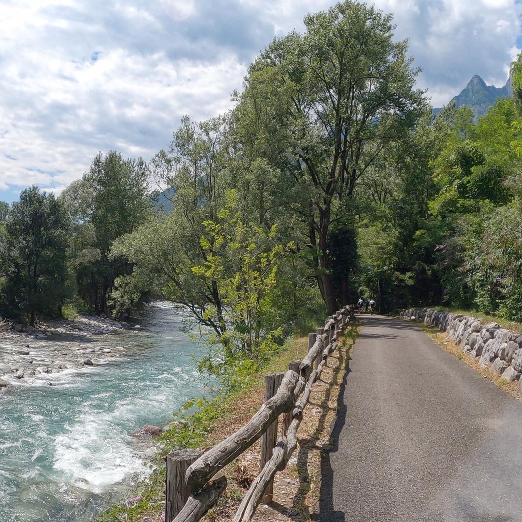
Yes, the Oglio River Greenway is a major highlight for cyclists in the region and is easily accessible from Braone. Recognized as 'the most beautiful cycle path in Italy' in 2019, this extensive 280 km route features varied elevation, making it suitable for different levels. It often skirts the Oglio River, providing beautiful views in all seasons and connecting charming villages throughout Valle Camonica.
Where can I park my car when planning a cycling trip around Braone?
Parking is generally available in and around Braone, particularly in the villages that serve as common starting points for routes. For access to the Oglio River Greenway, you can often find parking in towns along the river, such as Ceto, Cerveno, Niardo, or Cividate Camuno, which are well-connected to the cycling network.
How can I reach Braone by public transport with my bicycle?
Braone and the surrounding Valle Camonica region are served by public transport options, including buses and trains. It's advisable to check with the local transport providers for specific regulations regarding bicycles on board, as policies can vary. Many regional trains allow bicycles, often requiring a small additional fee or specific times of travel.
Are there options for bike rental in Braone or Valle Camonica?
While specific bike rental shops in Braone itself might be limited, the wider Valle Camonica region, being a popular cycling destination, offers bike rental services in larger towns and tourist hubs. It's recommended to search online or inquire with local tourist information centers in advance to arrange rentals, especially for touring bikes.
What do other cyclists say about touring cycling in Braone?
The touring cycling routes around Braone are highly rated by the komoot community, with an average score of 4.4 stars from over 200 reviews. More than 3,000 touring cyclists have used komoot to explore Braone's varied terrain, often praising the diverse landscapes, the well-maintained paths, and the stunning views of the Alps and Valle Camonica.
Are there any dog-friendly cycling options around Braone?
Many of the paths and trails around Braone, particularly the flatter sections along the Oglio River Greenway and through less technical terrain, are suitable for cycling with a dog, provided your dog is accustomed to it and on a leash where required. Always ensure you carry enough water for your pet and respect local regulations regarding dogs in natural areas.
Can I find places for refreshments or accommodation along the routes?
Yes, the charming villages throughout Valle Camonica, including Braone itself and neighboring towns like Bienno, offer various options for refreshments, including cafes and restaurants. You'll also find accommodation ranging from hotels to guesthouses. Many routes pass through or near these villages, making it convenient to plan stops for food, drinks, or an overnight stay.
Most popular routes around Braone
Most popular attractions around Braone

Get inspired with the komoot mobile app


Explore more
Browse the best Cycling routes in other regions.
