The best road cycling routes around Peio
4.7
(217)
12,063
riders
51
rides
Road cycling routes around Peio navigate through the Val di Sole, characterized by river valleys, alpine meadows, and significant elevation changes. The region features routes that follow the Noce Stream and ascend towards mountain passes, offering varied terrain for road cyclists. Cycle paths like the Val di Sole Cycle Path provide dedicated routes, while other trails explore the surrounding mountainous landscape.
Best road cycling routes around Peio
- The most popular road cycling route is Vernago Lake – Dimaro Village Center…
Last updated: September 29, 2026
4.8
(8)
128
riders
35.2km
02:14
1,000m
1,010m
Hard road ride. Very good fitness required. Some segments of this route may be unpaved and difficult to ride.
5.0
(1)
133
riders
130km
07:52
3,280m
3,280m
Hard road ride. Very good fitness required. Mostly well-paved surfaces and easy to ride.

4.3
(4)
42
riders
29.5km
01:48
780m
780m
Moderate road ride. Good fitness required. Mostly well-paved surfaces and easy to ride.
5.0
(2)
31
riders
31.3km
02:20
1,220m
1,220m
Hard road ride. Very good fitness required. Mostly well-paved surfaces and easy to ride.
4.5
(8)
195
riders
41.4km
02:11
690m
690m
Moderate road ride. Good fitness required. Mostly well-paved surfaces and easy to ride.
Get access to more routes and recommendations from other explorers.
Already have an account?
Our route recommendations are based on thousands of hikes, rides, and runs completed by other people on komoot.
Start today with a free account
Your next adventure awaits.
Popular around Peio

L1 from Garmisch to Brescia – Far from the classic Alpine crossings
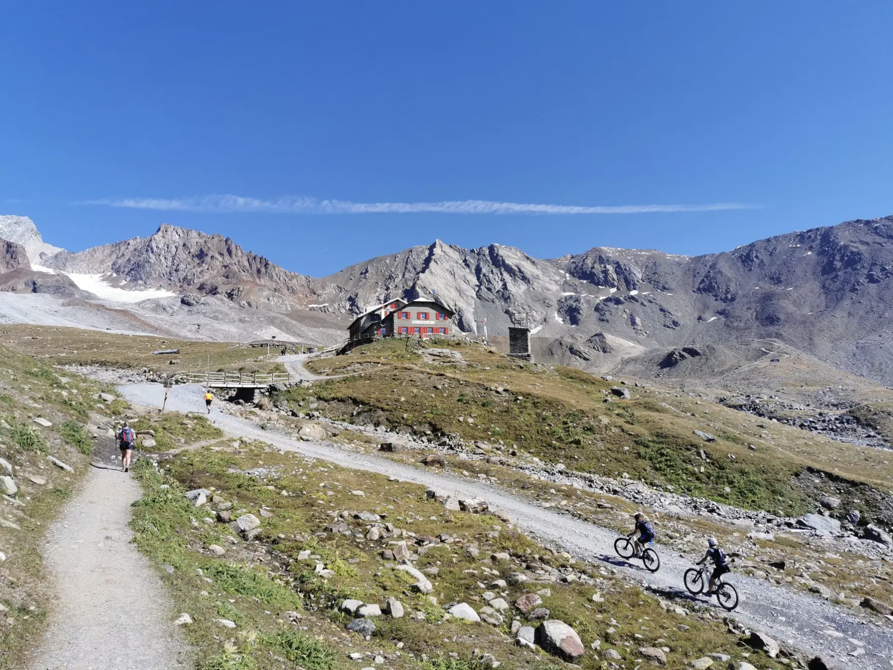
Around Ortler on high alpine trails in 7 stages
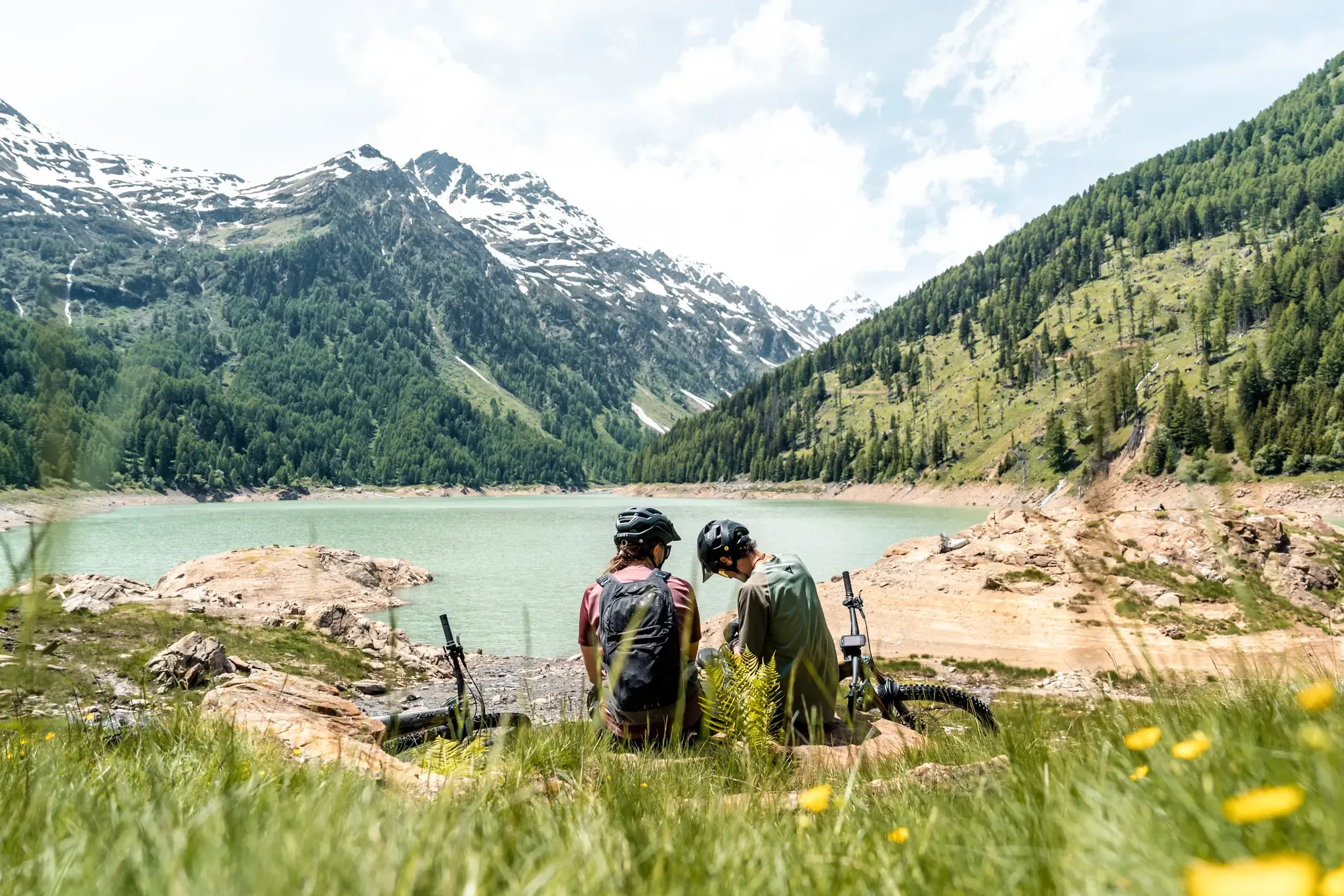
Trails and dramatic landscapes – Discovering Val di Sole by MTB
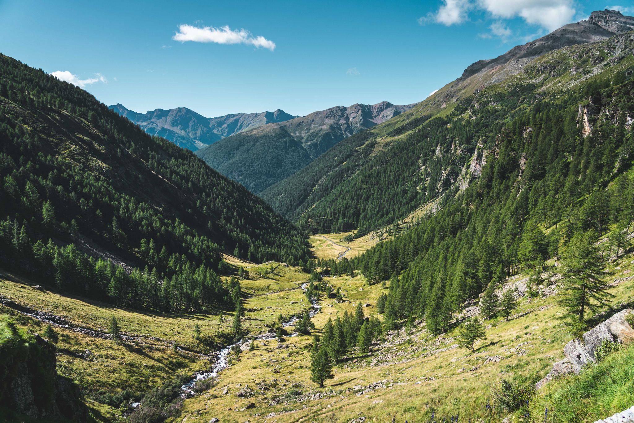
Trekking in Val di Sole – 7 day hikes at high altitude
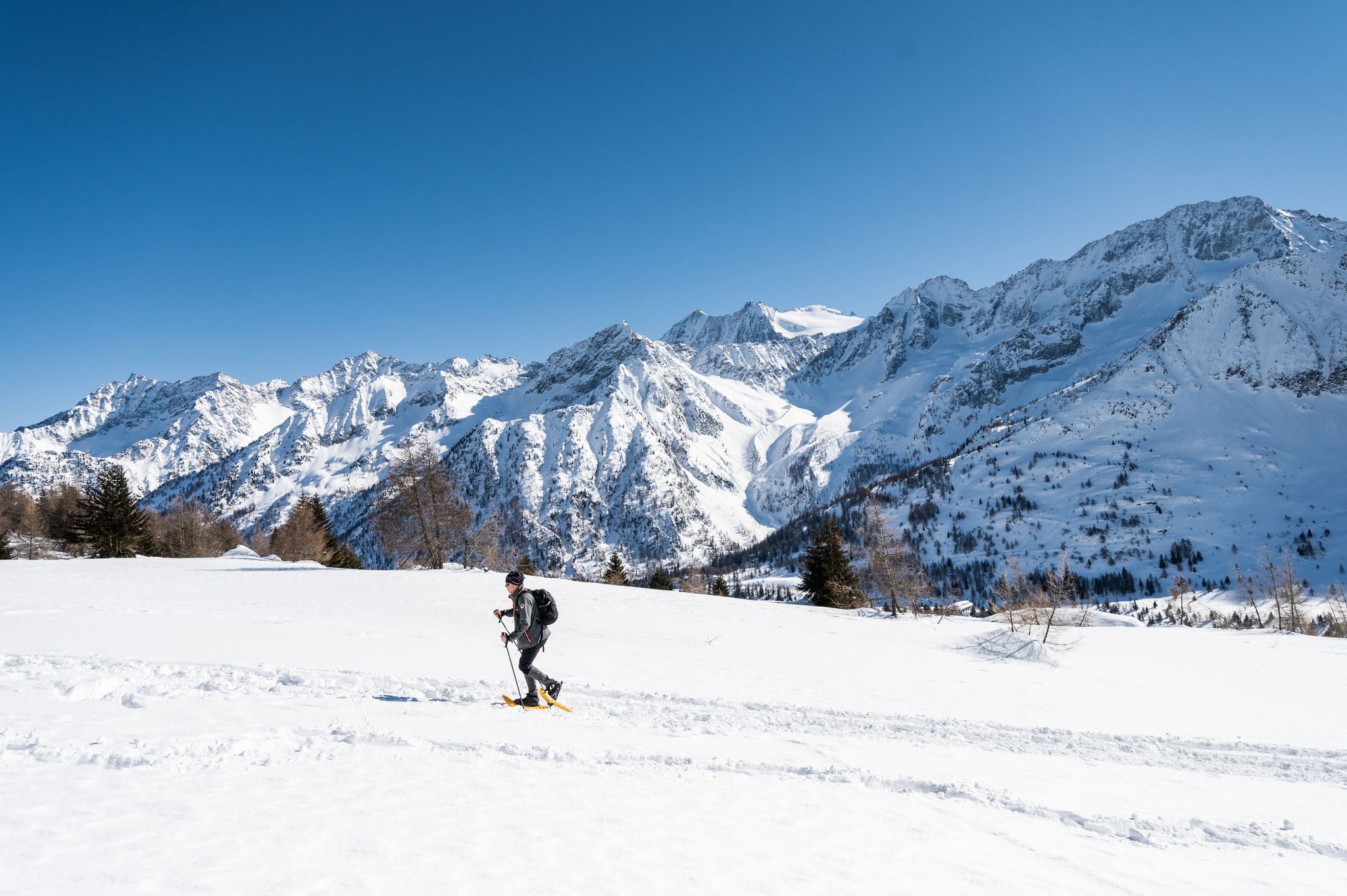
Ten snowshoe hikes in Italy’s Val di Sole
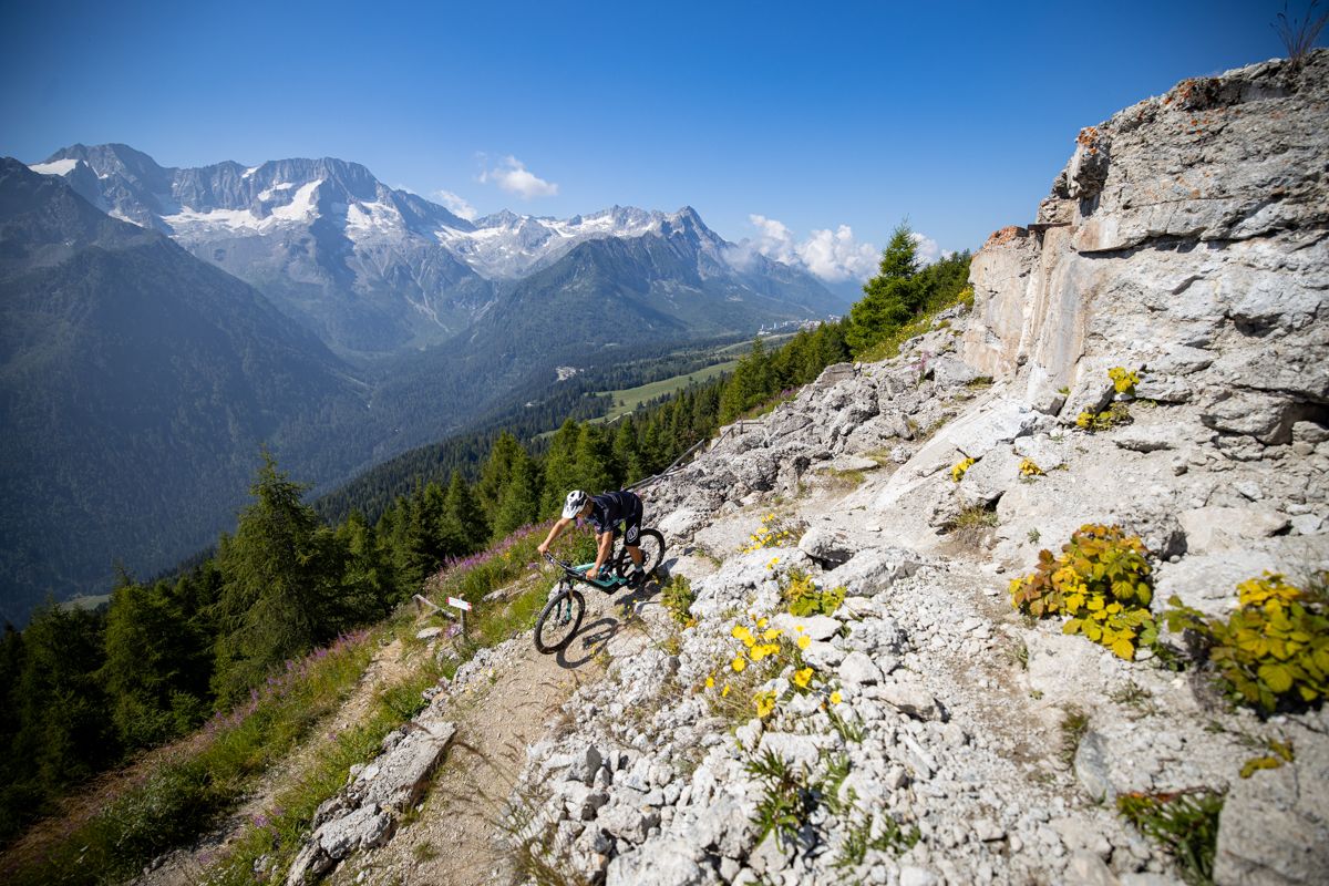
Make your MTB heart beat faster – Tours and trails in Italy’s Val di Sole
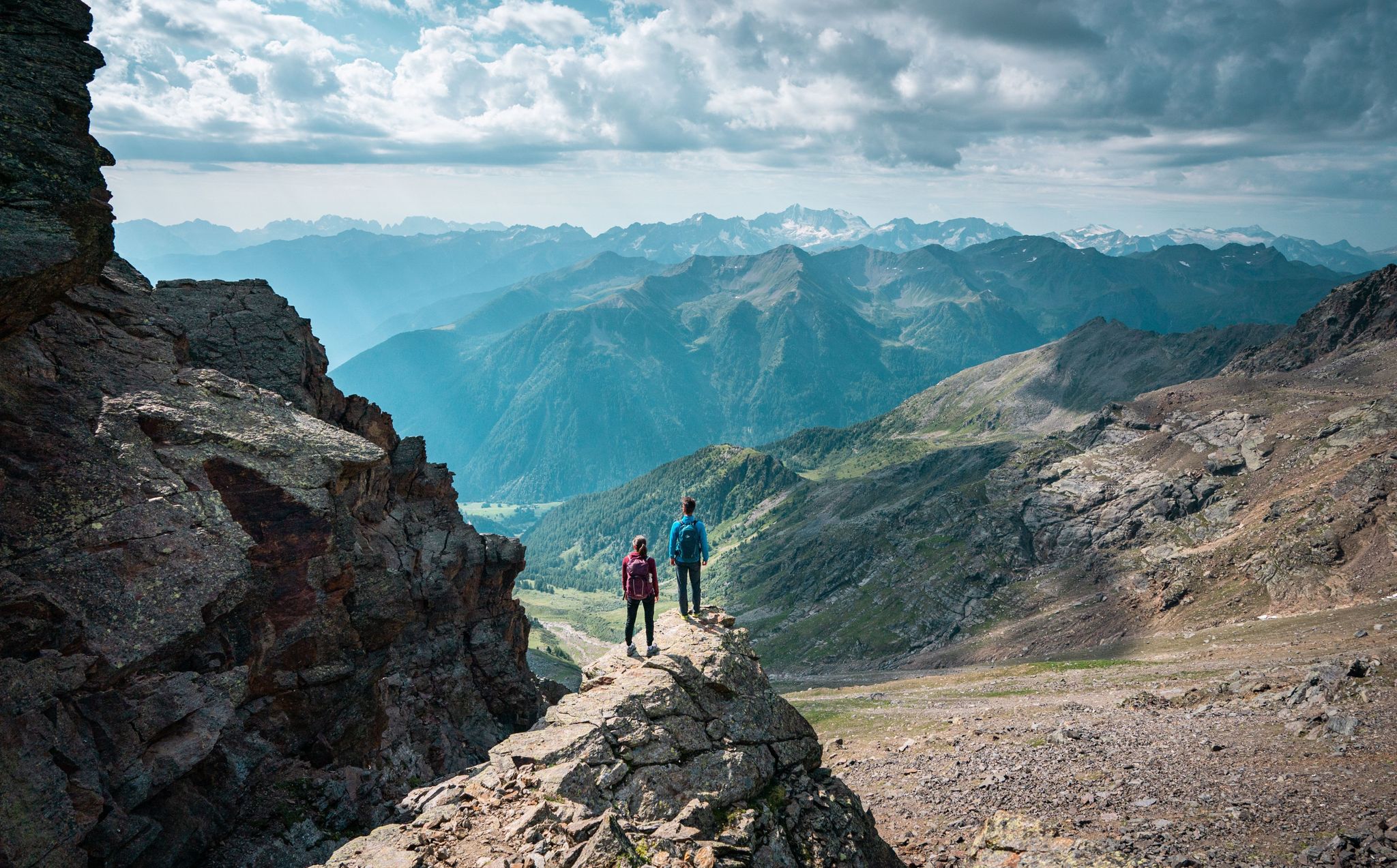
Exquisite hiking and mountaineering — epic tours in Val di Sole
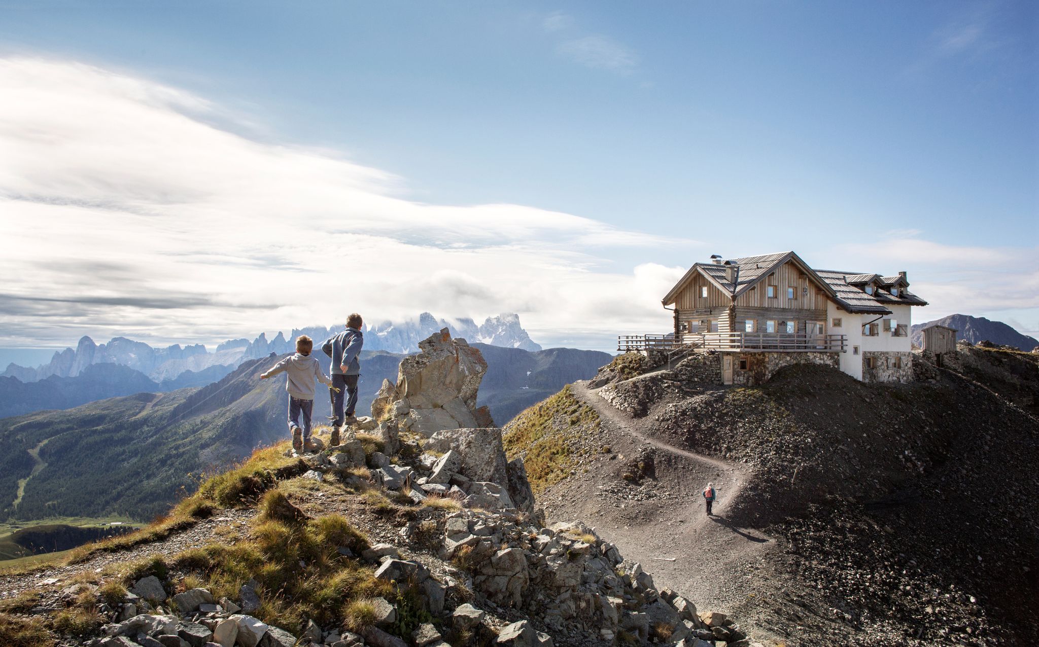
10 breathtaking hiking trails in Trentino
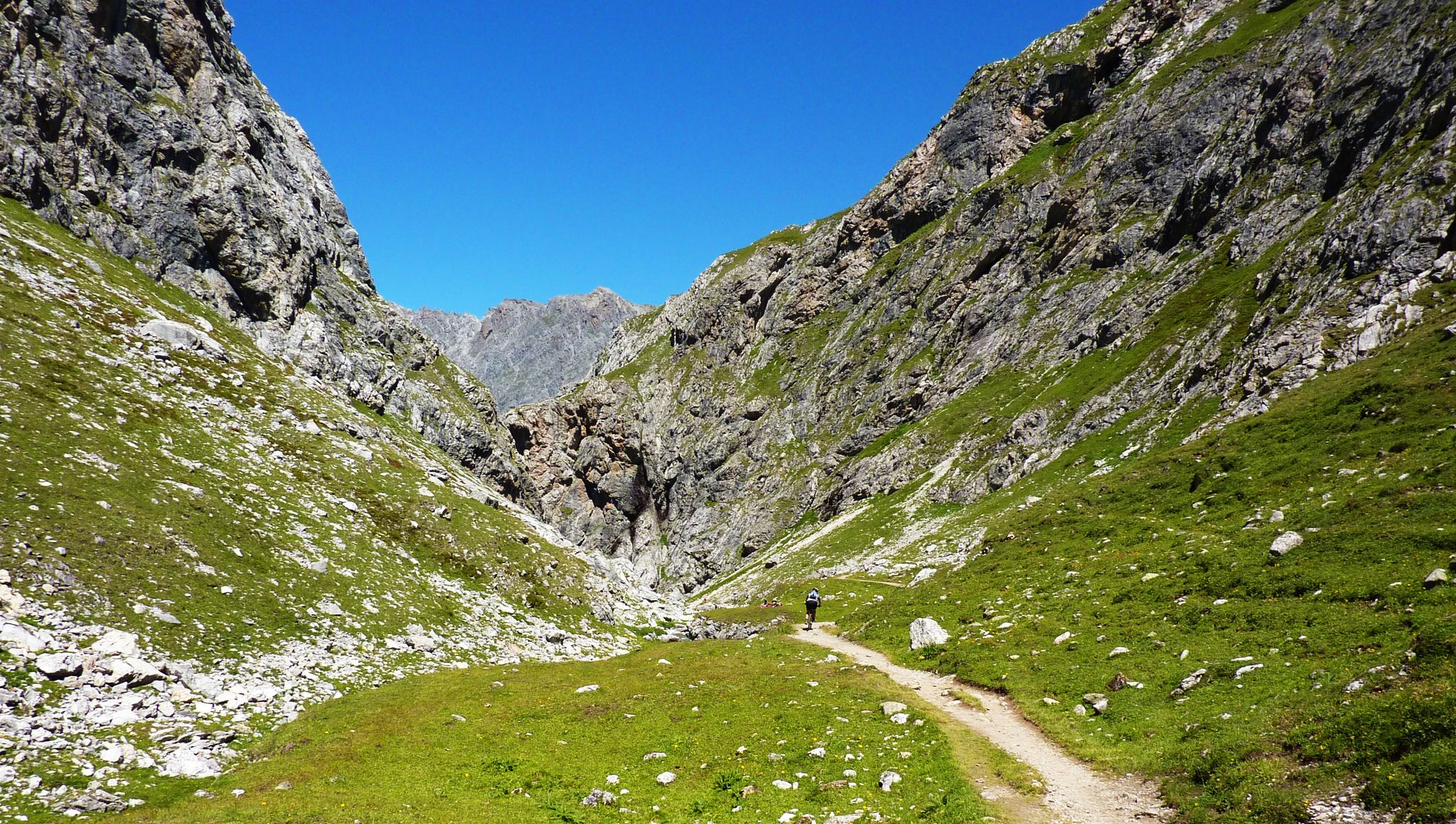
Alpine passes — 10 classics for you and your bike

Hiking around Peio
Other adventures around Peio


Tips from the Community

Post reachable from several directions
0
0

Highly recommended! Whether climbing or descending, doable for everyone.👍
0
0

The Military Shrine of Passo del Tonale is a monumental ossuary monument located at 1,884 meters above sea level on the geographical border between Lombardy and Trentino-Alto Adige. It commemorates the fallen of the so-called "White War", the extremely harsh high-altitude battles fought on the Adamello and Ortles massifs during World War I.
0
0
The Military Shrine of Passo del Tonale is a monumental ossuary located at 1,884 meters above sea level on the geographical border between Lombardy and Trentino-Alto Adige. It commemorates the fallen of the so-called "White War", the extremely harsh high-altitude battles fought on the Adamello and Ortles massifs during World War I.
0
0
The Passo del Tonale is an alpine pass located at an altitude of 1,884 meters that connects Lombardy (Valle Camonica) and Trentino-Alto Adige (Val di Sole). It is one of the most renowned tourist resorts in northern Italy, frequented both in winter and summer.
0
0


A good place to start a tour.
2
0
Frequently Asked Questions
What kind of terrain can I expect on road cycling routes around Peio?
Road cycling in Peio primarily navigates through the Val di Sole, featuring river valleys, alpine meadows, and significant elevation changes. You'll find routes that follow the Noce Stream and ascend towards mountain passes, offering a diverse range of terrain from dedicated cycle paths to more challenging climbs.
Are there easy road cycling routes suitable for beginners in Peio?
Yes, Peio offers several easier road cycling options. There are 7 routes classified as easy, which are great for those new to road cycling or looking for a more relaxed ride. These often follow the valley floors or dedicated cycle paths.
What are some challenging road cycling routes for experienced riders in Peio?
For experienced riders seeking a challenge, Peio has 17 difficult routes. One notable option is the Noce Stream – Tonale Pass loop from Pellizzano, which is 20.0 miles (32.2 km) and features significant elevation gain as it leads towards the Tonale Pass.
Are there any circular road cycling routes in Peio?
Many road cycling routes in Peio are designed as loops. For example, the Vernago Lake – Dimaro Village Center loop from Cogolo is a popular 29.8 miles (48.0 km) circular route offering scenic views.
What are some scenic viewpoints or attractions along the road cycling routes in Peio?
Road cycling routes in Peio offer access to various scenic spots. You might encounter natural wonders like the Plima Waterfall or the impressive Plima Gorge Suspension Bridge. Some routes also pass by historical sites such as the area around Castello di San Michele.
What do other road cyclists say about their experiences in Peio?
The road cycling routes in Peio are highly rated by the komoot community, with an average score of 4.6 stars from over 170 reviews. Cyclists often praise the varied terrain, from dedicated cycle paths to challenging mountain ascents, and the beautiful alpine scenery.
Are there any routes that incorporate dedicated cycle paths in Peio?
Yes, Peio features routes that utilize dedicated cycle paths. The Castello di San Michele – Val di Sole Cycle Path loop from Peio is a great example, incorporating sections of the Val di Sole Cycle Path for a smoother ride.
What is the best time of year for road cycling in Peio?
The best time for road cycling in Peio is typically from late spring through early autumn (May to October). During these months, the weather is generally milder, and mountain passes are more likely to be clear of snow, offering optimal conditions for exploring the region's diverse routes.
Are there any moderate-difficulty routes that are good for a longer ride?
For a moderate yet substantial ride, consider the Vernago Lake – Dimaro Village Center loop from Cogolo. This route covers 29.8 miles (48.0 km) and offers a balanced challenge with beautiful views, typically taking around 2 hours and 11 minutes.
Can I find routes that follow river valleys in Peio?
Many routes in Peio follow the region's river valleys. The Noce Stream loop from Peio is a good option, allowing you to cycle alongside the Noce Stream and experience the valley's natural beauty.
How many road cycling routes are available in the Peio area?
There are over 50 road cycling routes available around Peio, catering to various skill levels from easy valley rides to challenging mountain ascents.
Most popular attractions around Peio

Get inspired with the komoot mobile app


Explore more
Browse the best Road cycling routes in other regions.
