The best road cycling routes around Valbondione
4.5
(118)
4,657
riders
32
rides
Road cycling around Valbondione, situated in the upper Seriana Valley at the base of the Orobie Mountains, offers diverse terrain for cyclists. The region features the extensive Seriana Valley cycle path, which follows the Serio River through villages and natural settings. While much of the path is paved, some sections include brief, steep ascents. The landscape is characterized by towering peaks, forests, and meadows, providing varied cycling experiences.
Best road cycling routes around Valbondione
- The most popular road cycling route…
Last updated: August 17, 2026
5.0
(1)
150
riders
47.0km
02:19
680m
680m
Moderate road ride. Good fitness required. Mostly well-paved surfaces and easy to ride.
4.0
(1)
77
riders
86.2km
04:43
1,770m
1,770m
Hard road ride. Very good fitness required. Mostly well-paved surfaces and easy to ride.

Sign up for free
4.1
(15)
61
riders
34.1km
01:50
650m
650m
Moderate road ride. Good fitness required. Mostly well-paved surfaces and easy to ride.
27
riders
28.5km
01:55
900m
900m
Moderate road ride. Good fitness required. Mostly well-paved surfaces and easy to ride.
4.0
(1)
25
riders
27.9km
01:36
610m
610m
Moderate road ride. Good fitness required. Mostly well-paved surfaces and easy to ride.
Get access to more routes and recommendations from other explorers.
Sign up for free
Already have an account?
Our route recommendations are based on thousands of hikes, rides, and runs completed by other people on komoot.
Start today with a free account
Your next adventure awaits.
Login or Signup
Popular around Valbondione
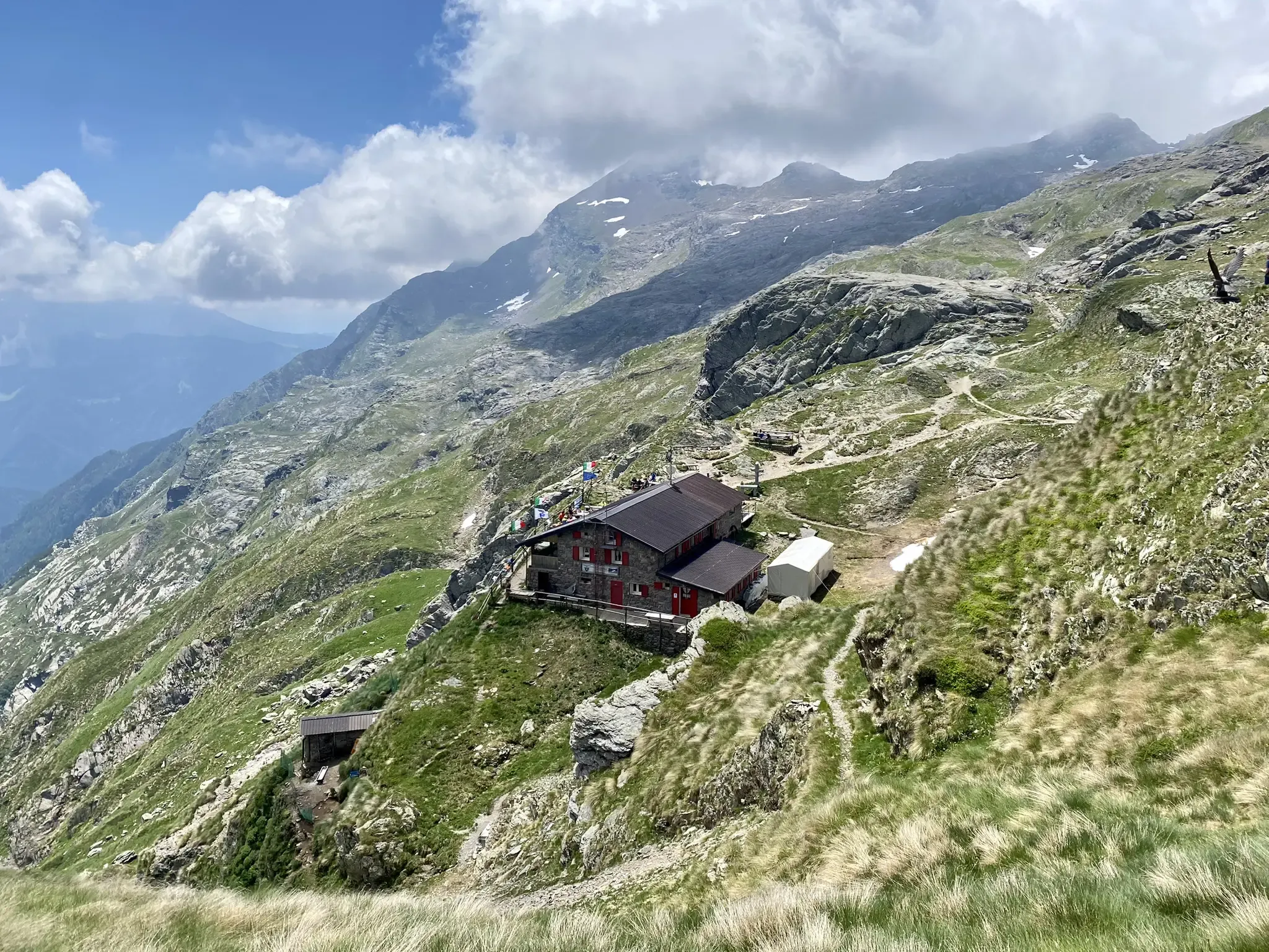
Antonio Curò nature route – two days in the Bergmanesque Alps
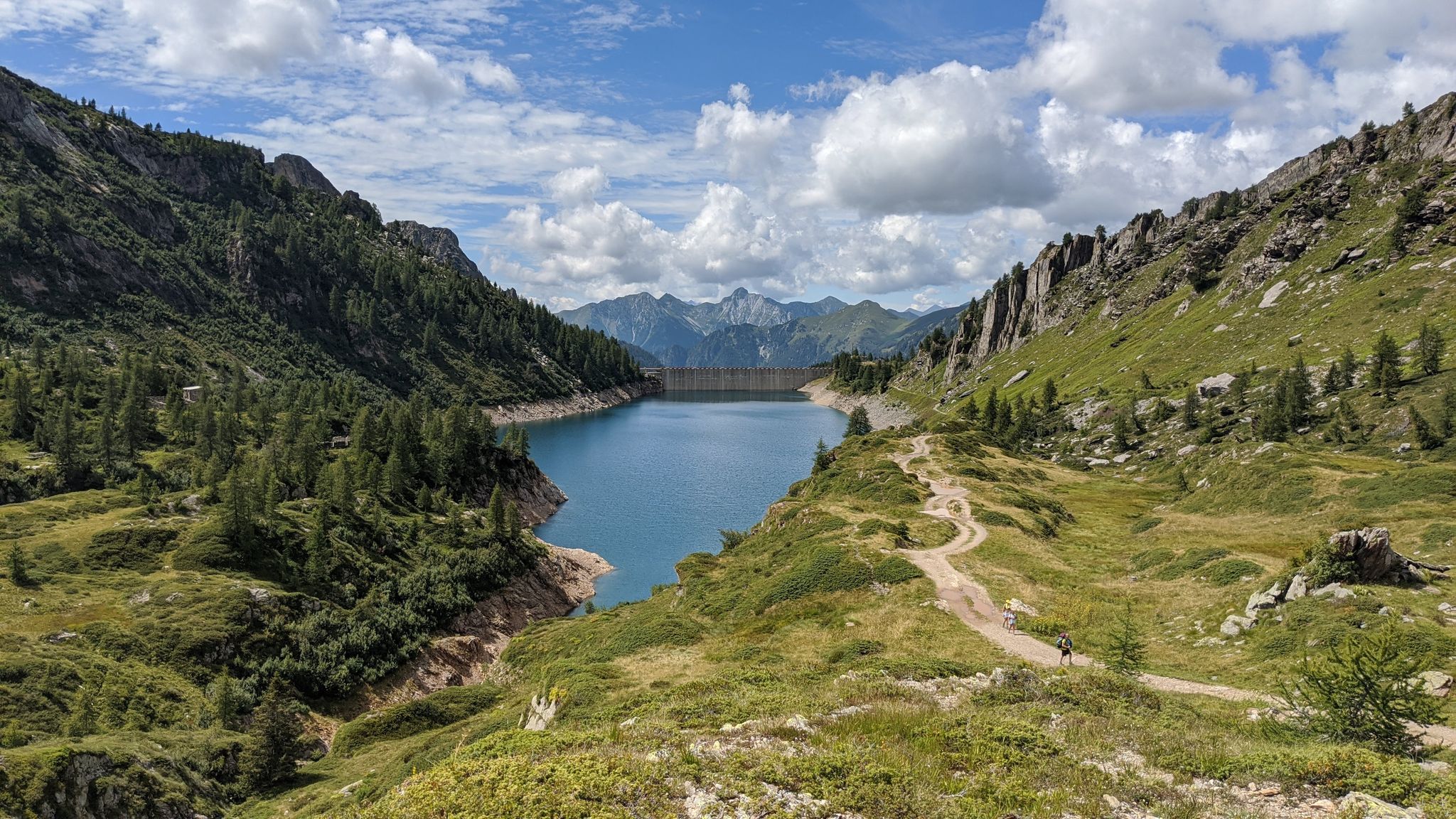
Eastern Orobie Path – a loop through Italy’s Orobie Mountains

A stone's throw from Presolana – trekking in Italy’s Val Seriana
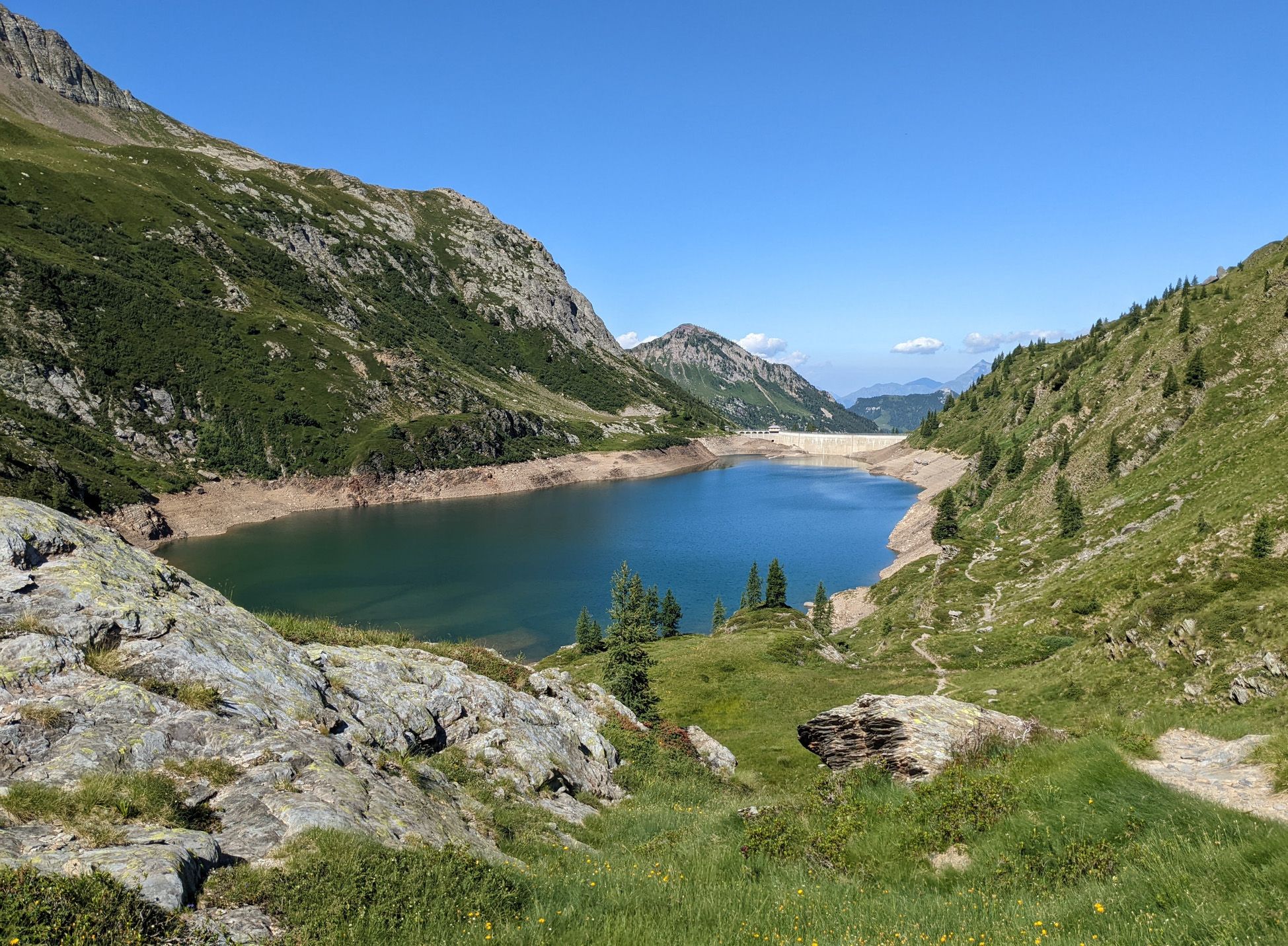
Walking on water – lakes, rivers and waterfalls in the Bergamo valleys
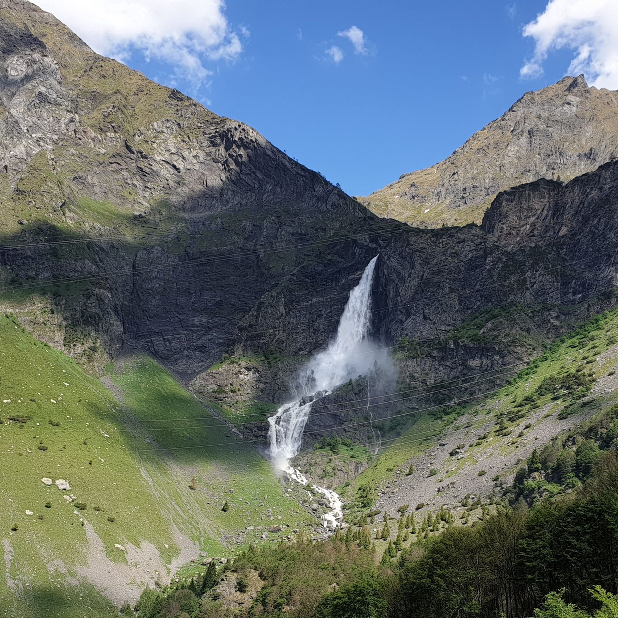
Hiking around Valbondione
MTB Trails around Valbondione
Cycling around Valbondione
Running Trails around Valbondione

Mountain Hikes around Valbondione

Gravel biking around Valbondione
Other adventures around Valbondione


Tips from the Community

Ascent that crosses several very well-equipped and beautiful villages to see.
0
0

Gromo, located in Val Seriana (BG), is one of "Italy's most beautiful villages" and a Bandiera Arancione from the Touring Club. Known as the "little Toledo" for its ancient production of bladed weapons, it offers a medieval center perched on a rock, with Castello Ginami, Palazzo Milesi, historic squares, and an atmosphere suspended in time, ideal for cultural and nature tourism.
0
0

The small Lombardy Toledo, famous until the 17th century for the production of bladed weapons, Gromo became a holiday resort in the last century without losing its roots linked to livestock farming and cheesemaking. The formaggella left on the kitchen table among breadcrumbs evokes the pastures of the Upper Seriana Valley above the village of Gromo
1
0
The building is located in the Bettuno Basso area, where the old road that connected the area to the hamlets of Boario and Ripa used to be. It can be accessed via an avenue paved with river pebbles.
0
0
Gromo, which is part of the circuit of “The most beautiful villages in Italy” and has obtained the “Orange Flag” from the Touring Club Italiano, rises on a rocky promontory, surrounded by meadows and fir forests. The town, famous in antiquity for its iron and silver mines and for its white weapon factories, maintains the compact medieval fabric in the upper part of the inhabited area.
0
0
Gromo, which is part of the circuit of “The most beautiful villages in Italy” and has obtained the “Orange Flag” from the Touring Club Italiano, rises on a rocky promontory, surrounded by meadows and fir forests. The town, famous in antiquity for its iron and silver mines and for its white weapon factories, maintains the compact medieval fabric in the upper part of the inhabited area.
0
0
Church of Saints James the Apostle and Vincent the Levite located in Gromo, in the province of Bergamo. It is a Catholic parish church whose main origins date back to the 13th century. The current structure is the result of numerous renovations that took place in the following centuries. It is located in Gromo, a village known as the Lombard "Little Toledo" for its historic arms production.
0
0
Perfectly working. It was 5:30 PM daylight saving time.
0
0
Frequently Asked Questions
How many road cycling routes are available around Valbondione?
Valbondione offers a diverse selection of over 20 road cycling routes. These routes cater to various skill levels, with 5 easy, 7 moderate, and 10 difficult options, ensuring there's a suitable ride for every cyclist.
What kind of terrain can I expect on road cycling routes in Valbondione?
The terrain around Valbondione is quite varied. You'll find extensive paved sections, particularly along the Seriana Valley cycle path which follows the Serio River. However, some routes also feature brief, steep ascents, especially as you venture towards the Orobie Mountains, providing a good challenge for those seeking it.
Are there any family-friendly road cycling options in Valbondione?
Yes, the Seriana Valley cycle path, which culminates in Valbondione, offers sections suitable for families. While some parts have brief, steep ascents, much of the path is paved and follows the river, providing a picturesque and generally accessible ride. Look for routes categorized as 'easy' for the most family-friendly experiences.
What are some notable natural features or landmarks to see while cycling in the Valbondione area?
The region boasts stunning natural beauty. You can cycle with views of the towering Orobie Mountains, including peaks like Pizzo Coca. The famous Serio Waterfalls, Italy's highest, are a spectacular sight, though their maximum flow is released only a few times a year. You might also encounter alpine lakes like Lake Coca or the impressive Barbellino dam. For specific points of interest, consider routes that pass near highlights like Pagani Cave or the Giant's Kettles of Valzurio.
What do other cyclists say about road cycling in Valbondione?
The road cycling routes around Valbondione are highly regarded by the komoot community, holding an average rating of 4.6 stars from over 60 reviews. Cyclists often praise the varied terrain, the stunning mountain backdrops, and the well-maintained paths that offer both scenic beauty and engaging challenges.
Are there challenging road cycling routes with significant climbs near Valbondione?
Absolutely. Valbondione is an excellent base for challenging climbs into the Orobie Mountains. Routes like Schilpario – Croce di Salven Pass loop from Schilpario, a difficult 68.2 km path, offer significant elevation gain and panoramic views. Another option is the Schilpario loop from Vilminore di Scalve, which also features substantial climbing.
Can I find circular road cycling routes starting from Valbondione?
Yes, there are several circular routes available. For example, the Valbondione Fountain – Bani Village loop from Boario is a popular 52.4 km circular trail that takes you through the Seriana Valley. Another option is the Schilpario – Schilpario loop from Nona, a moderate 28.3 km ride.
What is the best time of year for road cycling in Valbondione?
While specific weather conditions vary, spring and autumn generally offer pleasant temperatures and beautiful scenery for road cycling in Valbondione. Summer can also be excellent, especially in the higher elevations, but be mindful of potential heat in the valley. Always check local weather forecasts before heading out.
Are there any specific permits required for road cycling in the Valbondione area?
Generally, no specific permits are required for road cycling on public roads and designated cycle paths in the Valbondione area. However, if you plan to venture into specific protected areas or private lands, it's always advisable to check local regulations. For general information on cycling in Lombardy, you can visit Italia.it.
Where can I find parking for road cycling routes in Valbondione?
Valbondione, as a hub for outdoor activities, typically offers parking options in and around the town center. Many routes, especially those connecting to the Seriana Valley cycle path, will have accessible starting points with nearby parking. It's recommended to check specific route details or local signage upon arrival for the most convenient spots.
What kind of wildlife might I encounter while cycling in the Valbondione region?
The Valbondione region, particularly within the Bergamo Orobie Park, is rich in biodiversity. Cyclists might spot ibex, marmots, chamois, deer, roe deer, stoats, and even golden eagles. The village of Maslana is especially known as a natural habitat where ibex can often be observed.
Are there any sections of the cycle path that follow a disused railway line?
Yes, the extensive Seriana Valley cycle path, which leads to Valbondione, includes sections that repurpose a disused railway line. These parts often provide a unique and smooth cycling experience, adding to the varied character of the route.
Most popular routes around Valbondione
Most popular attractions around Valbondione

Get inspired with the komoot mobile app


Explore more
Browse the best Road cycling routes in other regions.
