The best walks and hikes around Poggiridenti
4.4
(678)
5,447
hikers
424
hikes
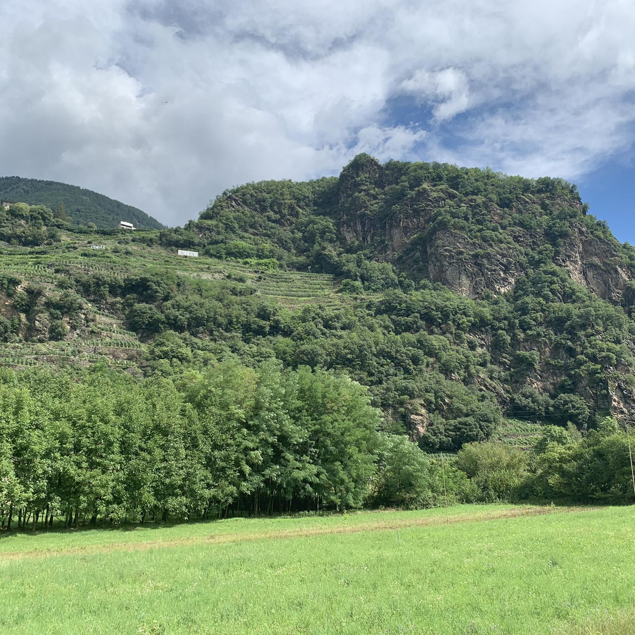
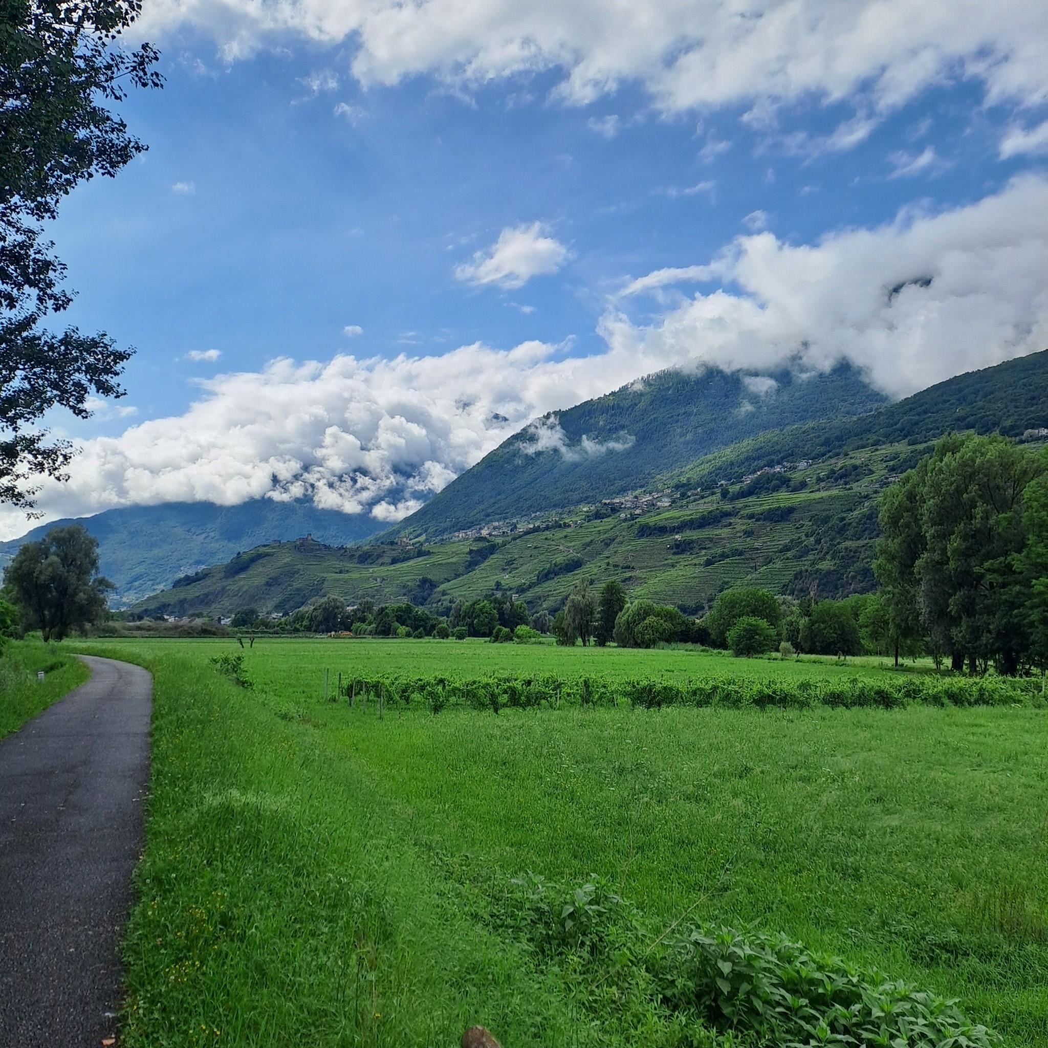
Hiking around Poggiridenti offers diverse landscapes within the Valtellina valley, characterized by extensive vineyard terraces on steep, rocky slopes. The region features a varied alpine environment, including lush meadows, coniferous forests, and glacial formations. Trails often traverse these natural features, providing access to different elevations and scenic views.
Best hiking trails around Poggiridenti
- The most popular hiking route is Sentiero delle Marmitte: from Piateda to Bettoli – loop trail, a 4.0 miles (6.4 km) trail that takes 2 hours 28 minutes to complete. This moderate route highlights unique geological features along the path.
- Another top favourite among local hikers is Vineyard trail to Santuario della Santa Casa (via Trail 373), a moderate 4.2 miles (6.7 km) path. This trail traverses terraced vineyards, offering panoramic views of the valley.
- Local hikers also love the Carnale Mountain Village – Davaglione Piano loop from Montagna in Valtellina, an 8.9 miles (14.3 km) trail leading through alpine landscapes, often completed in about 4 hours 53 minutes.
- Hiking around Poggiridenti is defined by vineyard terraces, alpine forests, and glacial valleys. The network offers options for different ability levels, from moderate loops to longer, more challenging paths.
- The routes in Poggiridenti are highly rated by the komoot community with an average score of 4.4 stars from nearly 600 reviews. More than 5000 hikers have used komoot to explore Poggiridenti's varied terrain.
Last updated: July 9, 2026
4.3
(6)
15
hikers
6.39km
02:28
420m
420m
Moderate hike. Good fitness required. Mostly accessible paths. Sure-footedness required.
1
hikers
6.70km
02:22
360m
360m
Moderate hike. Good fitness required. Mostly accessible paths. Sure-footedness required.

Sign up for free
4.5
(4)
34
hikers
14.3km
04:53
680m
680m
Moderate hike. Good fitness required. Mostly accessible paths. Sure-footedness required.
4.5
(4)
30
hikers
16.9km
04:59
480m
480m
Moderate hike. Good fitness required. Easily-accessible paths. Suitable for all skill levels.
4.5
(4)
22
hikers
7.02km
02:43
440m
440m
Moderate hike. Good fitness required. Mostly accessible paths. Sure-footedness required.
Get access to more routes and recommendations from other explorers.
Sign up for free
Already have an account?
Our route recommendations are based on thousands of hikes, rides, and runs completed by other people on komoot.
Start today with a free account
Your next adventure awaits.
Login or Signup

Tips from the Community

Just above the center of the city of Sondrio, the district of Maioni is easily reachable on foot and characteristic. One way to reach it is the mule track that climbs in hairpin bends from Gombaro. From Maioni, you can take paths towards woods and splendid hills.
0
0

Beautiful suspension bridge over the Mallero river, very high and panoramic both over Sondrio and the entrance to Val Malenco and its gorge carved out by the water. The passage is very wide and safe, and connects Ponchiera and Mossini without passing through Sondrio. It is worth stopping by if you are going towards Val Malenco or if you want to take a panoramic tour above Sondrio.
0
0

The little house contains a kind of signal box to supply the mills in the valley with the right amount of water. Benches and tables right next to it invite you to take a comfortable rest.
1
0

Bridge in the void with breathtaking views
0
0

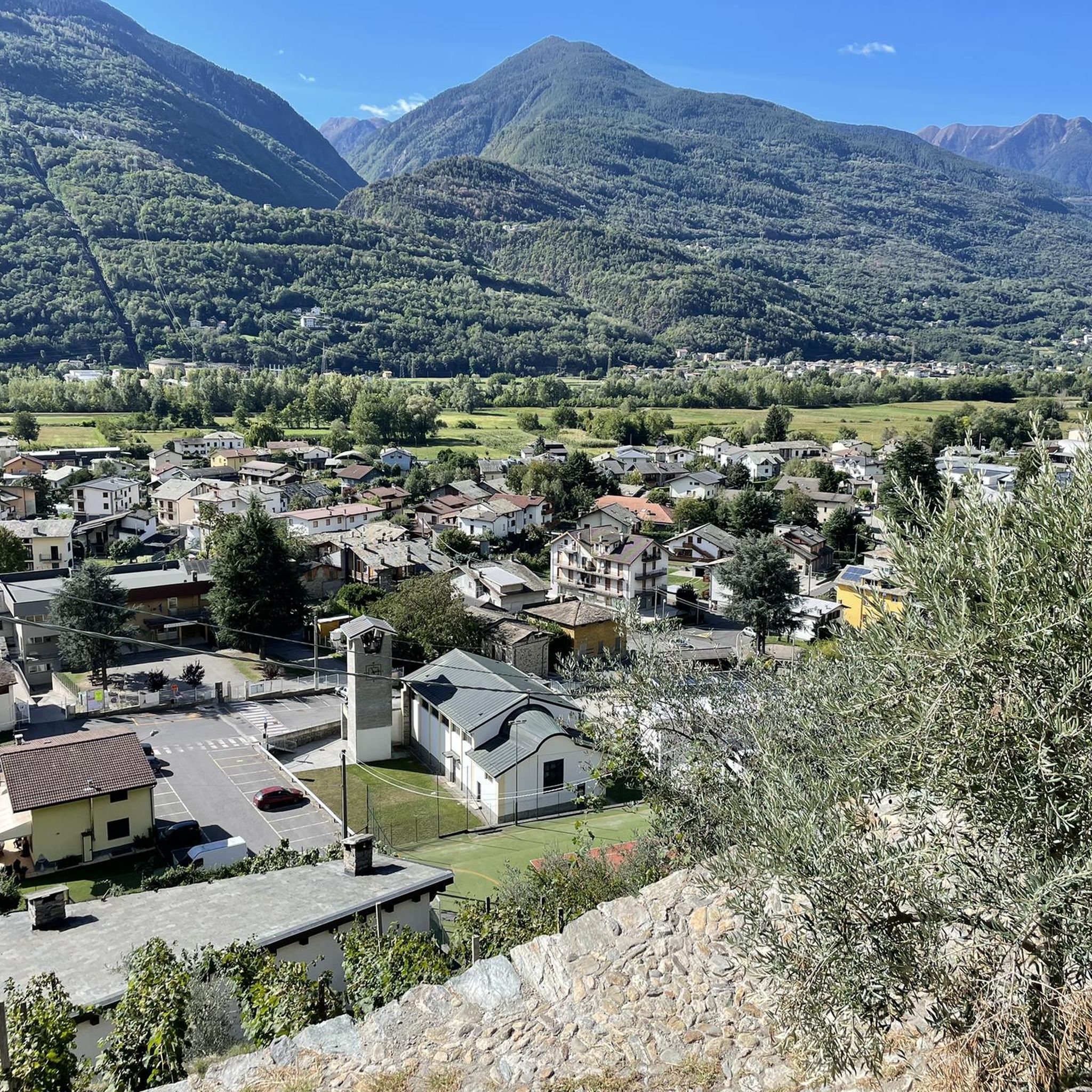
Montagna in Valtellina is a small mid-coast village in Lombardy, where nature and culture blend. Among the vineyards that give life to fine wines, paths lead to breathtaking views. Don't miss the opportunity to savor the local gastronomic tradition, a true triumph of authentic flavours.
2
0

The small church of San Vittore today is sadly abandoned. Lost in the woods of Piateda, it is a crossing point for hikers.
1
0
Bettoli is a large rural nucleus. Today only 34 people live there and many houses are now overgrown and almost completely ruined.
1
0
The particular erosive phenomenon whereby the water, with its insistent eddies, has dug large circular cavities in the rock over the course of millennia is called "giants' potholes".
1
0
Frequently Asked Questions
How many hiking trails are available around Poggiridenti?
Poggiridenti offers a wide variety of hiking experiences, with over 370 routes available. These trails cater to different fitness levels, ranging from easy walks through vineyards to more challenging alpine paths.
What kind of landscapes can I expect to see while hiking in Poggiridenti?
The region boasts diverse landscapes, from the iconic terraced vineyards that produce renowned Valtellina wines to lush alpine meadows, dense coniferous forests, and impressive glacial valleys. You'll also encounter unique geological features and dramatic gorges, offering a rich variety of scenery.
Are there any family-friendly hiking options in Poggiridenti?
Yes, Poggiridenti has over 80 easy hiking routes suitable for families. Many of these trails traverse the lower elevation vineyard areas, offering gentle gradients and picturesque views without significant difficulty. Always check individual route details for suitability with children.
Can I bring my dog on the hiking trails in Poggiridenti?
Generally, dogs are welcome on many trails in the Poggiridenti area. However, if your hike takes you into protected areas like the Stelvio National Park or Orobie Regional Park, specific rules regarding leashes or restricted access might apply. It's always best to keep your dog on a leash and check local regulations for the specific trail you plan to explore.
Are there any circular hiking routes in Poggiridenti?
Yes, Poggiridenti offers several circular routes, perfect for returning to your starting point without retracing your steps. A popular example is the Sentiero delle Marmitte: from Piateda to Bettoli – loop trail, which is a moderate 4-mile (6.4 km) path highlighting unique geological features.
What are some notable landmarks or natural features to look out for on the trails?
Hikers can discover several interesting landmarks and natural features. The Sentiero delle Marmitte trail, for instance, showcases unique geological formations. You might also encounter the historic terraced vineyards, ancient churches like the Santuario della Santa Casa, and dramatic views of the Mallero stream's gorges, especially near the Suspension Bridge.
What is the best time of year to go hiking in Poggiridenti?
The best time for hiking in Poggiridenti is typically from spring through autumn (April to October). During these months, the weather is generally mild, and the trails are clear. Spring offers lush greenery and blooming flowers, while autumn provides stunning foliage among the vineyards. Higher alpine routes are best enjoyed in summer when snow has melted.
Are there any trails that lead to viewpoints or offer panoramic views?
Many trails in Poggiridenti offer spectacular panoramic views, particularly those traversing the terraced vineyards or ascending into the alpine areas. The Vineyard trail to Santuario della Santa Casa is renowned for its vistas over the valley. Additionally, the Parish Church of Saint Fidelis in Poggiridenti itself provides excellent views.
What do other hikers enjoy most about hiking in Poggiridenti?
The hiking routes in Poggiridenti are highly rated by the komoot community, with an average score of 4.4 stars from nearly 600 reviews. Hikers frequently praise the stunning vineyard landscapes, the well-maintained paths, and the diverse scenery that ranges from gentle valley walks to more challenging mountain ascents.
Are there any lakes or huts accessible from hiking trails near Poggiridenti?
Yes, the broader area around Poggiridenti offers access to beautiful lakes and mountain huts. You can find highlights such as Lago delle Zocche or Lake of Santo Stefano di Sotto. For mountain accommodation, consider destinations like Alpe di Piasci and Rifugio Cometti or Rifugio Gino e Massimo, which are popular stops for hikers.
Are there options for more challenging or advanced hikes?
Absolutely. While there are many moderate routes, Poggiridenti and the surrounding Valtellina region also offer more challenging trails. There are over 110 difficult routes available, often leading into higher alpine environments with greater elevation gains and longer distances. An example of a longer route is the Carnale Mountain Village – Davaglione Piano loop from Montagna in Valtellina, which covers nearly 9 miles (14.3 km) through alpine landscapes.
Is public transport available to reach trailheads in Poggiridenti?
Poggiridenti is part of the Valtellina valley, which has a regional bus network connecting various towns and villages. While some trailheads might be directly accessible by bus, others may require a short walk from the nearest stop. It's advisable to check local bus schedules in advance for specific routes and starting points.
Are there places to eat or stay near the hiking trails in Poggiridenti?
Poggiridenti and nearby towns in the Valtellina valley offer various options for refreshments and accommodation. You'll find local trattorias and cafes serving traditional Valtellinese cuisine, often with excellent local wines. For overnight stays, there are hotels, guesthouses, and agriturismos (farm stays) that cater to hikers, especially in the main villages.
Most popular routes around Poggiridenti
Most popular attractions around Poggiridenti

Get inspired with the komoot mobile app


Explore more
Browse the best Hikes in other regions.
