The best walks and hikes around Colorina
4.6
(2527)
14,488
hikers
363
hikes
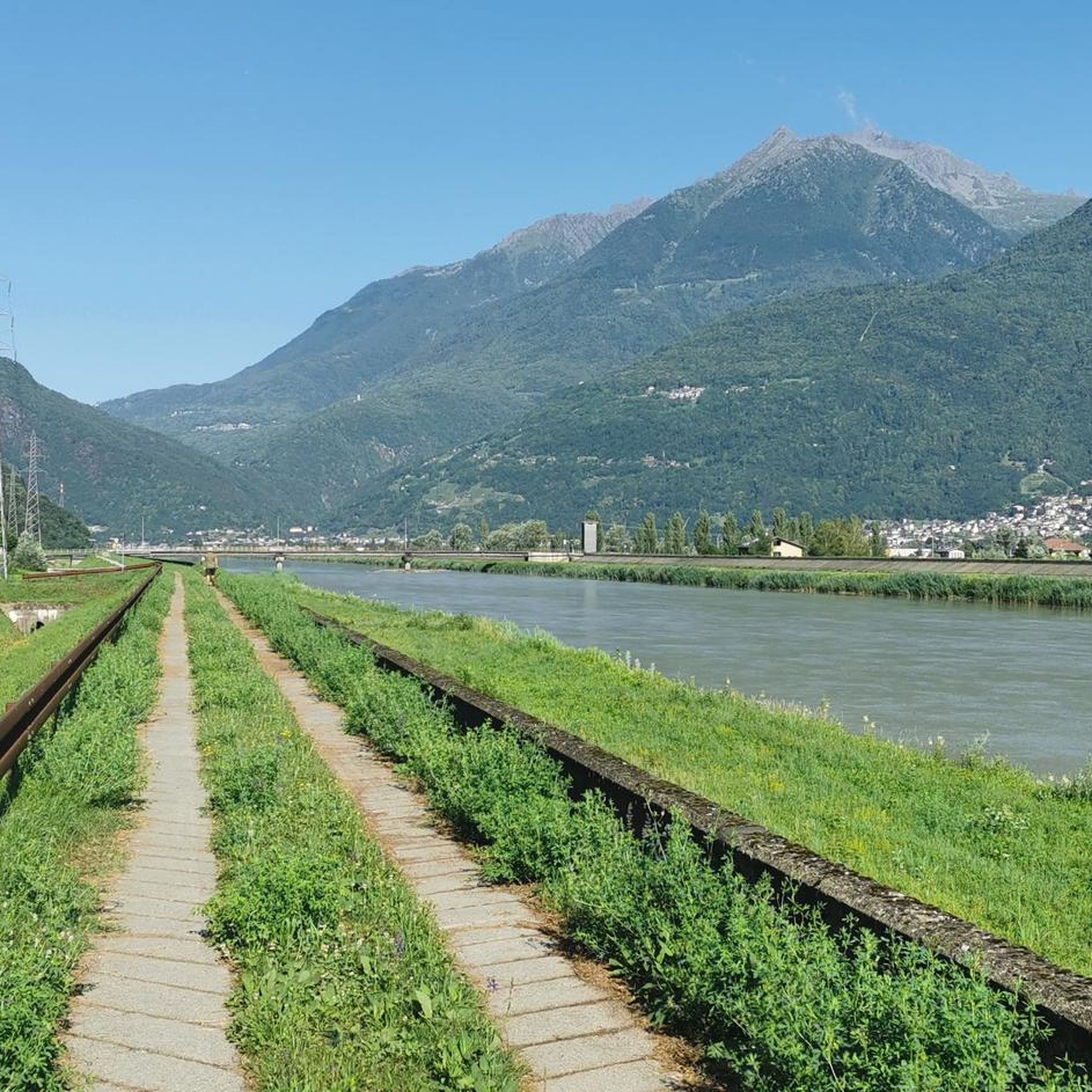
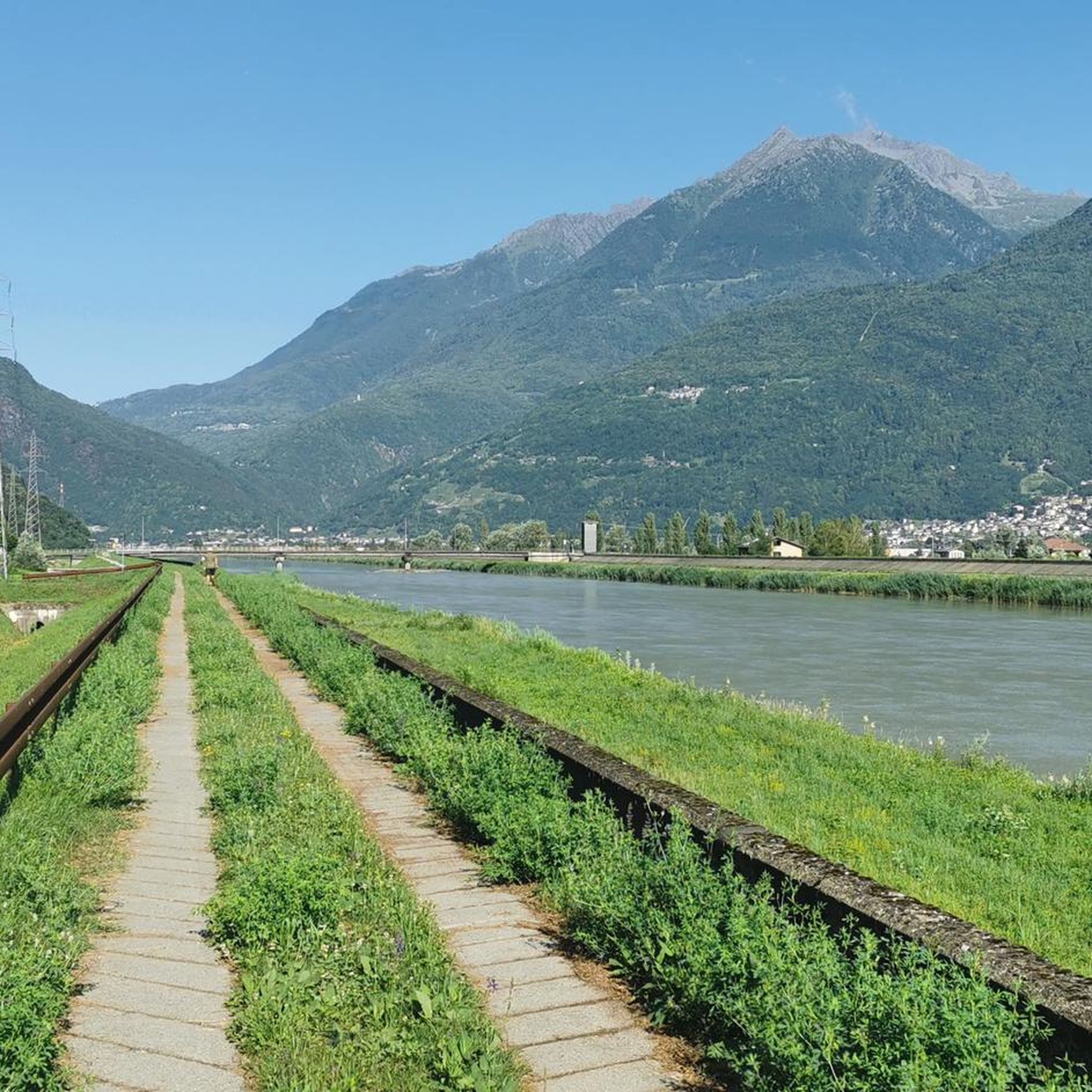
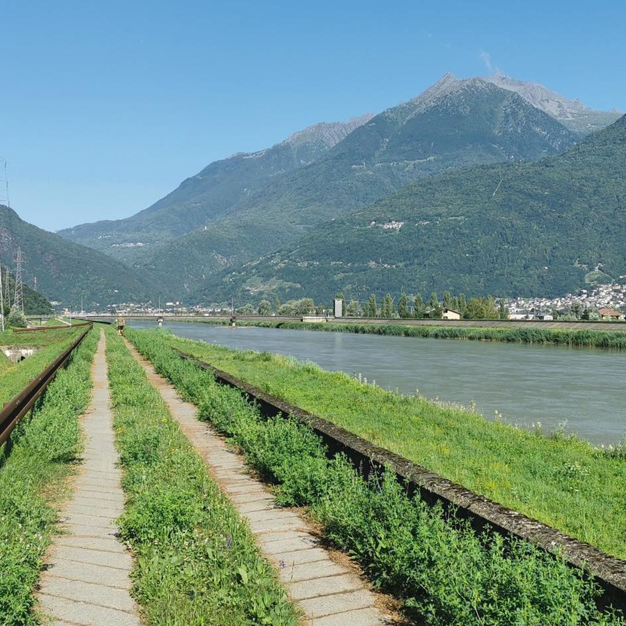
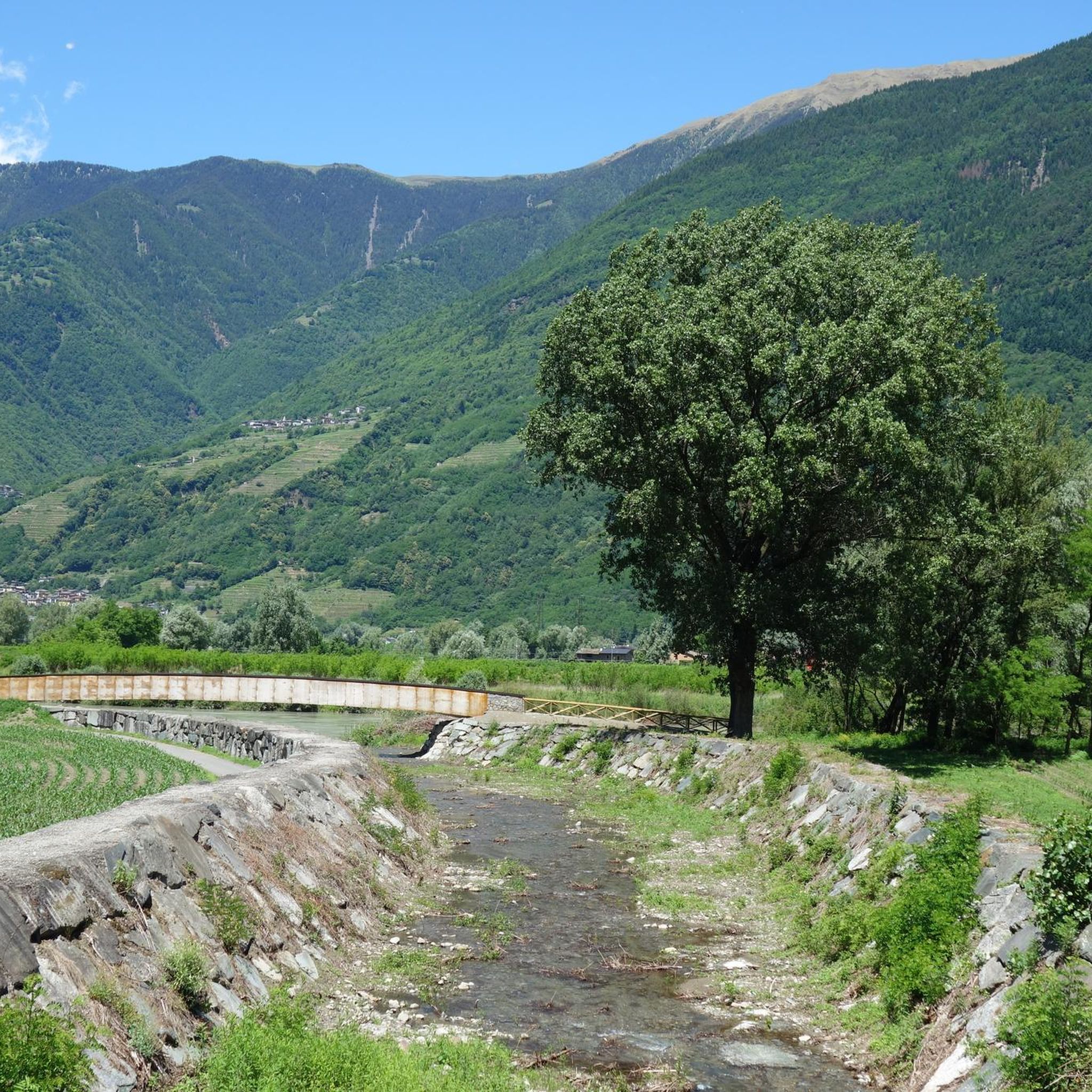
Hiking trails around Colorina are set within Lombardy, Italy, characterized by the rugged terrain of the Valtellina mountains and the scenic Val Madre. The region features diverse landscapes, including river valleys shaped by the Valtellina River and protected areas like the Riserva Naturale Val di Mello. This varied topography offers a range of hiking experiences, from challenging mountain ascents to more accessible valley paths.
Best hiking trails around Colorina
- The most popular hiking route is From Dosso to Rifugio Dordona…
Last updated: June 23, 2026
2
hikers
23.3km
08:29
1,420m
1,430m
Hard hike. Very good fitness required. Easily-accessible paths. Suitable for all skill levels.
8.74km
03:31
700m
700m
Moderate hike. Good fitness required. Easily-accessible paths. Suitable for all skill levels.

Sign up for free
3.7
(3)
14
hikers
24.3km
07:19
610m
610m
Hard hike. Very good fitness required. Mostly accessible paths. Sure-footedness required.
4.8
(6)
11
hikers
Moderate hike. Good fitness required. Mostly accessible paths. Sure-footedness required.
4.5
(2)
10
hikers
6.32km
01:57
220m
220m
Moderate hike. Great for any fitness level. Mostly accessible paths. Sure-footedness required.
Get access to more routes and recommendations from other explorers.
Sign up for free
Already have an account?
Our route recommendations are based on thousands of hikes, rides, and runs completed by other people on komoot.
Start today with a free account
Your next adventure awaits.
Login or Signup

Tips from the Community

Border pass between Fusine and Foppolo (Bergamo). It's a pass steeped in history, with the Cadorna trenches. The road from Fusine (Valtellina) is wide and easily cycled.
0
0

Commercial/receptive area in a suggestive context characterized by historical buildings, agricultural tools, wooden statues, ...
2
0


Pass that separates the Bergamo area from the Valtellina area. A very panoramic place, it also offers a look at the Swiss Alps. The path to reach it from Foppolo is easy, but those who want can continue the path to the Dordona Refuge which is not too far away.
0
0

Chestnut groves are an iconic element of the Valtellina forest landscape. Thousands of them were cultivated in this mid-mountain area, because in the post-war period and in times of famine, the chestnut was an important source of sustenance. Near Piasci there is a chestnut tree with a picturesque trunk, which has placidly overlooked the Valtellina for centuries.
2
0

Pass at 2061m reachable from Foppolo and Val Madre: there are remains of the trenches of World War I (Cadorna Line)
0
0

It's always a great satisfaction to get this far.
0
0

Beautifully situated hut about 150 m below the Passo Dordona. There are delicious dishes and even wheat beer (currently 6 EUR). I took a break there after climbing from north to south with about 1700 m ascent by MTB. The rifugio seems to be a popular meeting place for endurists, a few motorcyclists came towards me, I'm sure it's fun on the coarse gravel. You have to be able to control your machine.
1
0
Frequently Asked Questions
How many hiking trails are available around Colorina?
Colorina offers a wide variety of hiking experiences with over 340 routes. These range from easy strolls to challenging mountain ascents, catering to all skill levels.
What kind of terrain can I expect on hikes in Colorina?
The terrain around Colorina is diverse, characterized by the rugged Valtellina mountains and the scenic Val Madre. You'll find paths winding through river valleys shaped by the Valtellina River, forested sections, and open areas with expansive views. Some routes also pass through protected areas like the Riserva Naturale Val di Mello.
Are there any easy hiking trails suitable for beginners in Colorina?
Yes, Colorina has 35 easy hiking trails. These routes are generally shorter and have less elevation gain, making them ideal for beginners or those looking for a relaxed walk. A good example is the Hiking loop from Berbenno di Valtellina, which is a moderate 6.4 km path.
What are some notable landmarks or viewpoints I can discover while hiking in Colorina?
Hikers in Colorina can explore several interesting landmarks and enjoy stunning viewpoints. You might encounter mountain huts like the Marco Balicco Mountain Hut, or reach high points like Tartano Pass or Pizzo Meriggio Summit for panoramic views. The region also features impressive gorges, including the Tartano Valley, and unique structures like the Suspension Bridge over the Cassandre of the Mallero.
Are there any circular hiking routes around Colorina?
Yes, Colorina offers several circular routes. These loops allow you to start and end your hike in the same location, providing a convenient way to explore the area. An example is the Rodolo - Le Bruciate Loop, a moderate 8.7 km path that winds through varied terrain.
What do other hikers enjoy most about the trails in Colorina?
The hiking trails in Colorina are highly rated by the komoot community, with an average score of 4.6 stars from over 2,000 reviews. Hikers often praise the diverse landscapes, from rugged mountain views to scenic river valleys, and the variety of routes available for different skill levels.
Are there any challenging mountain hikes in Colorina?
Absolutely. For experienced hikers seeking a challenge, Colorina offers 147 difficult routes. These trails often involve significant elevation gain and cover longer distances, providing extensive mountain views and leading to high mountain passes. A prime example is the demanding From Dosso to Rifugio Dordona and to Passo Dordona, a 23.3 km trail.
Can I find routes that pass by historical sites or cultural points of interest?
Yes, some routes in Colorina lead through rural landscapes and past historical points of interest. For instance, the Church of San Giuseppe – Mulino Vianara loop from Forcola is a longer trail that allows you to explore local history and culture as you hike.
Are there any hikes that offer valley views in Colorina?
Many trails in Colorina provide beautiful valley views, showcasing the region's diverse topography. The Piano di Colorina Valley View loop from Berbenno di Valtellina is a moderate 12.2 km route specifically designed to highlight these scenic vistas.
What is the general duration of hikes in Colorina?
Hike durations in Colorina vary significantly depending on the route's length and difficulty. Easy trails might take a couple of hours, while more challenging mountain ascents, like the 23.3 km From Dosso to Rifugio Dordona and to Passo Dordona, can take around 8 hours and 30 minutes to complete.
Most popular attractions around Colorina

Get inspired with the komoot mobile app


Explore more
Browse the best Hikes in other regions.
