The best walks and hikes around Sankt Georgen bei Grieskirchen
4.5
(918)
5,176
hikers
335
hikes
Hiking around Sankt Georgen bei Grieskirchen offers a network of trails through the region's characteristic rolling hills and river valleys. The landscape is primarily defined by agricultural fields, interspersed with patches of woodland and small villages. Hikers can expect varied terrain, including gentle ascents and descents, often following the course of local waterways like the Trattnach River.
Best hiking trails around Sankt Georgen bei Grieskirchen
- The most popular hiking route is Tirolerhof Inn – Mostobstallee Chapel loop from St. Georgen…
Last updated: July 5, 2026
5.0
(7)
36
hikers
Moderate hike. Good fitness required. Easily-accessible paths. Suitable for all skill levels.
9
hikers
7.03km
01:57
130m
130m
Easy hike. Great for any fitness level. Easily-accessible paths. Suitable for all skill levels.

Sign up for free
6
hikers
Easy hike. Great for any fitness level. Easily-accessible paths. Suitable for all skill levels.
5.0
(1)
12
hikers
6.38km
01:46
110m
110m
Easy hike. Great for any fitness level. Easily-accessible paths. Suitable for all skill levels.
6
hikers
10.7km
02:48
80m
80m
Moderate hike. Good fitness required. Easily-accessible paths. Suitable for all skill levels.
Get access to more routes and recommendations from other explorers.
Sign up for free
Already have an account?
Our route recommendations are based on thousands of hikes, rides, and runs completed by other people on komoot.
Start today with a free account
Your next adventure awaits.
Login or Signup
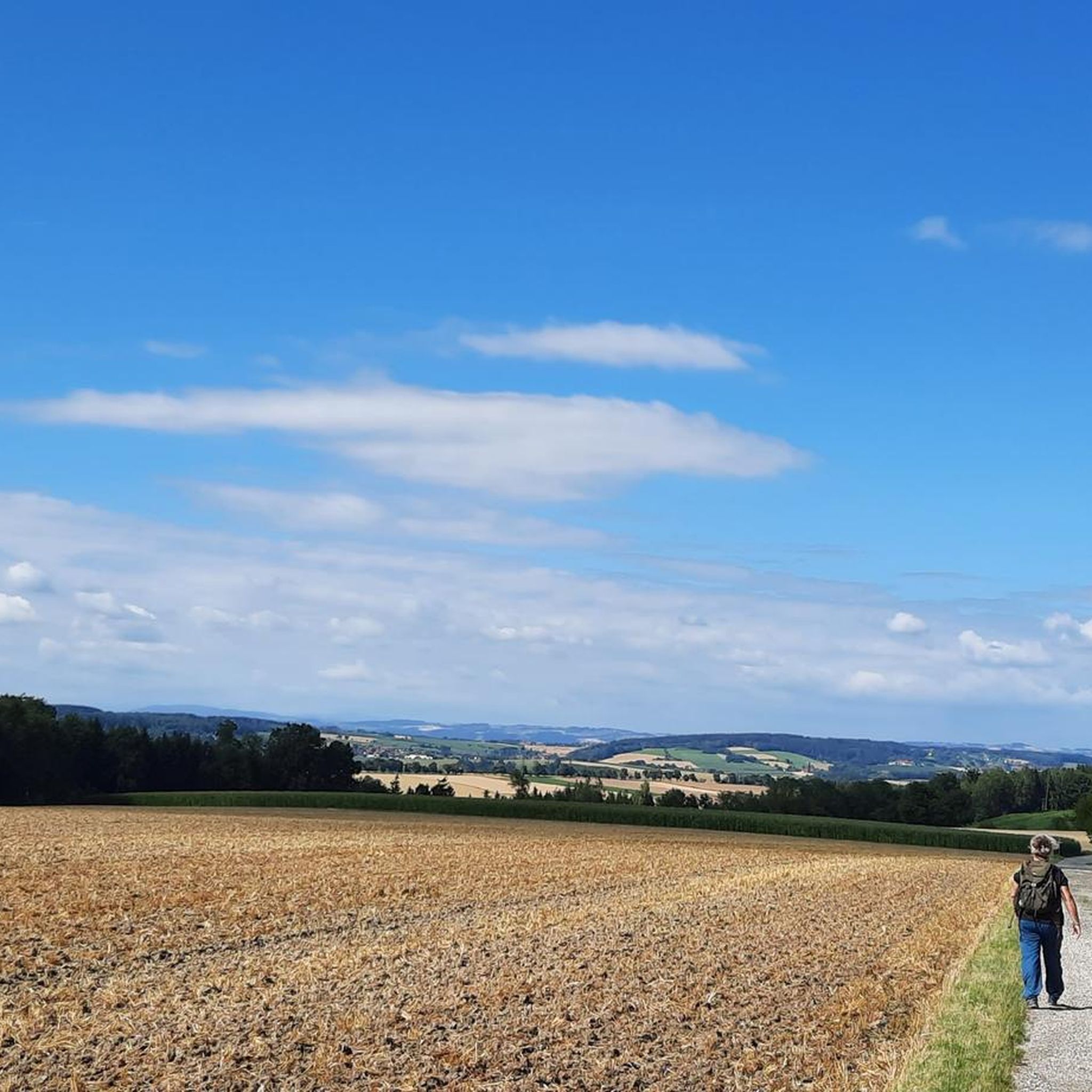

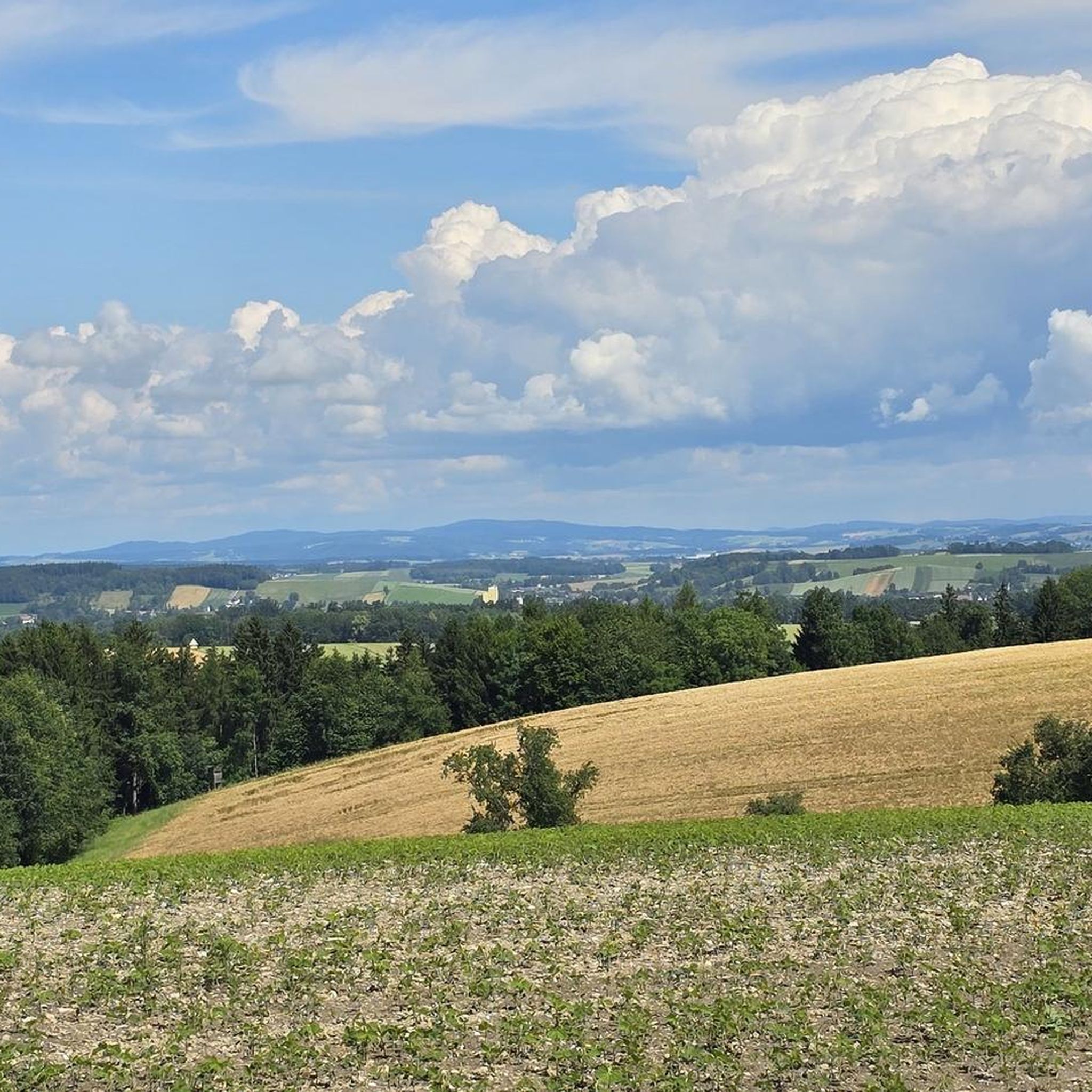
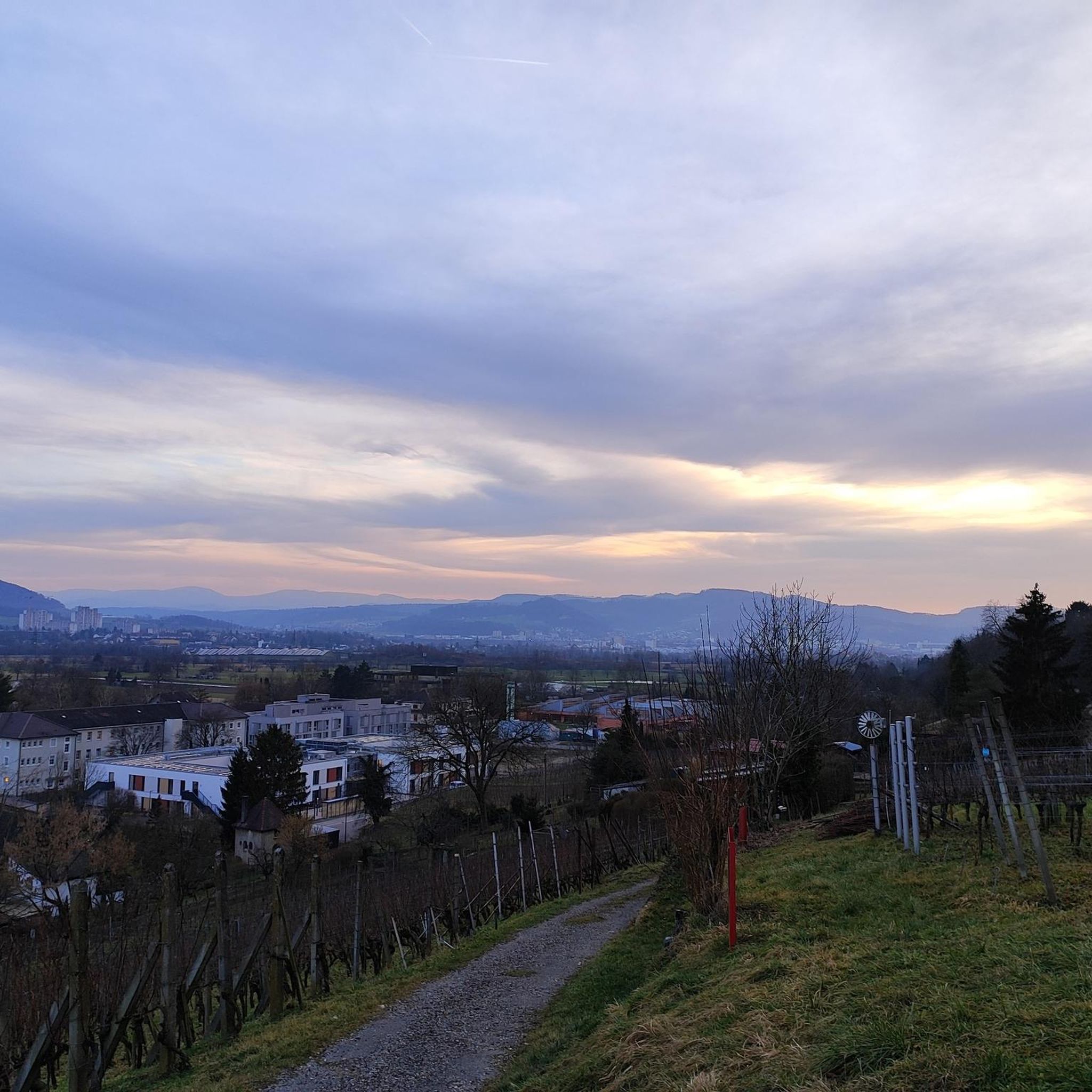
Tips from the Community

A nice, quiet path along the Trattnach river.
0
0

The Teufelsgrabenweg begins moderately steep and is quite easy to ride, but in the final third it becomes really steep – probably around 20%. In dry conditions, the surface offers good grip, but in wet conditions the climb is almost impossible to manage.
0
0
St. George's Church is an unusual brick building, with a simple interior but beautiful wooden elements. In the church square, there is a fountain with figures of the 12 Apostles.
0
0
Especially during the flowering season in April, this more than 2 km long avenue of partly very old pear trees and some younger apple trees is a real treat
0
0
A lovely park with a pond and colorful birds in aviaries. E-bikes can be charged for free at the parking lot.
1
0
Great view all the way to the Alps.
0
0


Frequently Asked Questions
How many hiking trails are available in Sankt Georgen bei Grieskirchen?
Sankt Georgen bei Grieskirchen offers a comprehensive network of over 340 hiking trails. These routes cater to various preferences, ranging from leisurely strolls to more challenging excursions through the region's characteristic rolling hills and river valleys.
What types of trails can I expect in Sankt Georgen bei Grieskirchen?
The region primarily features easy and moderate hiking trails. You'll find nearly 200 easy routes, perfect for relaxed outings, and around 140 moderate trails for those seeking a bit more challenge. There are also a few difficult routes for experienced hikers.
Are there any family-friendly hiking options in Sankt Georgen bei Grieskirchen?
Yes, many of the easy trails are suitable for families. These routes often traverse gentle paths through the local countryside, providing a pleasant experience for all ages. Consider the Hiking loop from St. Georgen bei Grieskirchen, which is an easy 4.3-mile path.
Can I bring my dog on the hiking trails?
Most trails in Sankt Georgen bei Grieskirchen are dog-friendly, offering ample space for your canine companion to enjoy the outdoors. However, always keep your dog on a leash, especially when passing through agricultural areas or near livestock, and remember to clean up after them.
Are there circular hiking routes available?
Yes, many of the trails in Sankt Georgen bei Grieskirchen are designed as circular routes, allowing you to start and end at the same point. An example is the Tirolerhof Inn – Mostobstallee Chapel loop from St. Georgen bei Grieskirchen, a moderate 6.2-mile trail.
What natural attractions can I discover while hiking?
The region boasts several natural attractions. You can explore highlights like the Geyser Garden (Eurothermenpark Bad Schallerbach) or the Sulfur Thermal Spring Fountain in Kurpark, Bad Schallerbach. For serene water features, visit Leithen Lake or the Water Lily Pond in Kurpark Bad Schallerbach.
Are there any historical landmarks or castles to see?
Absolutely. The area is home to historical sites such as the Aistersheim Water Castle. You can experience this by hiking the Aistersheim Water Castle – Aistersheim Castle loop from Aistersheim, which leads through historic castle grounds and surrounding nature.
Where can I find good viewpoints along the trails?
For panoramic views of the surrounding landscape, consider visiting the Luisenhöhe Observation Deck. The region's rolling hills also offer numerous natural vantage points, especially from higher elevations like the Krailberg Summit Cross (504 m).
What is the best time of year for hiking in Sankt Georgen bei Grieskirchen?
The best time for hiking is typically from spring through autumn, when the weather is mild and the landscape is vibrant. The rolling hills and agricultural fields are particularly beautiful during these seasons. Winter hiking is also possible, though some trails may be less accessible depending on snow conditions.
What do other hikers enjoy most about Sankt Georgen bei Grieskirchen?
The area is highly rated by the komoot community, with an average score of 4.4 stars from over 800 reviews. Hikers often praise the varied landscapes, which include agricultural fields, woodlands, and river valleys, as well as the well-maintained paths suitable for different skill levels.
Are there trails that follow the Trattnach River?
Yes, the Trattnach River is a defining feature of the landscape, and several trails follow its course. An excellent option is the Trattnach River – Trattnach Kaisersteig loop from Tollet, a moderate 6.9-mile route that offers scenic views along the waterway.
Are there any easy routes for beginners?
Absolutely. The region is very welcoming for beginners, with nearly 200 easy routes. These trails typically feature gentle ascents and descents through the countryside, making them ideal for those new to hiking or looking for a relaxed walk. The Country Inn Waldesruh – Gallspach Church loop from Gallspach is an easy 4-mile option.
Most popular routes around Sankt Georgen bei Grieskirchen
Most popular attractions around Sankt Georgen bei Grieskirchen

Get inspired with the komoot mobile app


Explore more
Browse the best Hikes in other regions.
