The best mountain hikes around Cino
5.0
(1)
9
hikers
2
hikes
Mountaineering routes around Cino are situated in the Sondrio province, offering access to the diverse terrain of the Valtellina Valley. The region features varied elevation changes, with routes ascending through mountainous landscapes. These trails provide opportunities to explore the natural environment of the Italian Alps. The area is characterized by its alpine setting, suitable for challenging ascents and scenic traverses.
Best mountaineering routes around Cino
- The most popular mountaineering route is View of Valtellina Valley loop from Montemezzo, a…
Last updated: July 4, 2026
5.0
(1)
3
hikers
12.3km
05:44
980m
980m
Hard mountaineering route. Very good fitness required. Mostly accessible paths. Sure-footedness required.
6
hikers
7.51km
03:34
630m
620m
Moderate mountaineering route. Good fitness required. Mostly accessible paths. Sure-footedness required.
Our route recommendations are based on thousands of hikes, rides, and runs completed by other people on komoot.
Start today with a free account
Your next adventure awaits.
Login or Signup

Tips from the Community

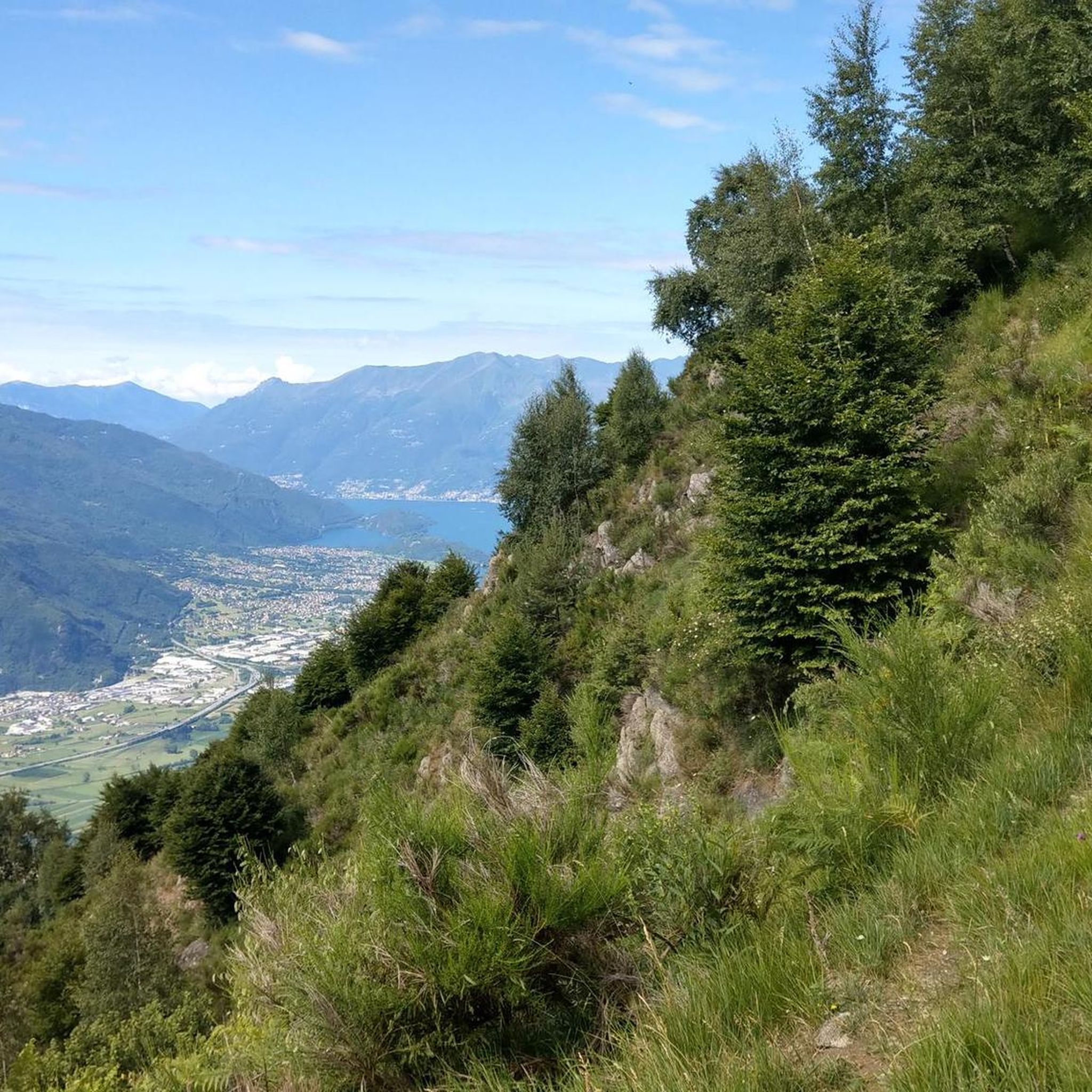
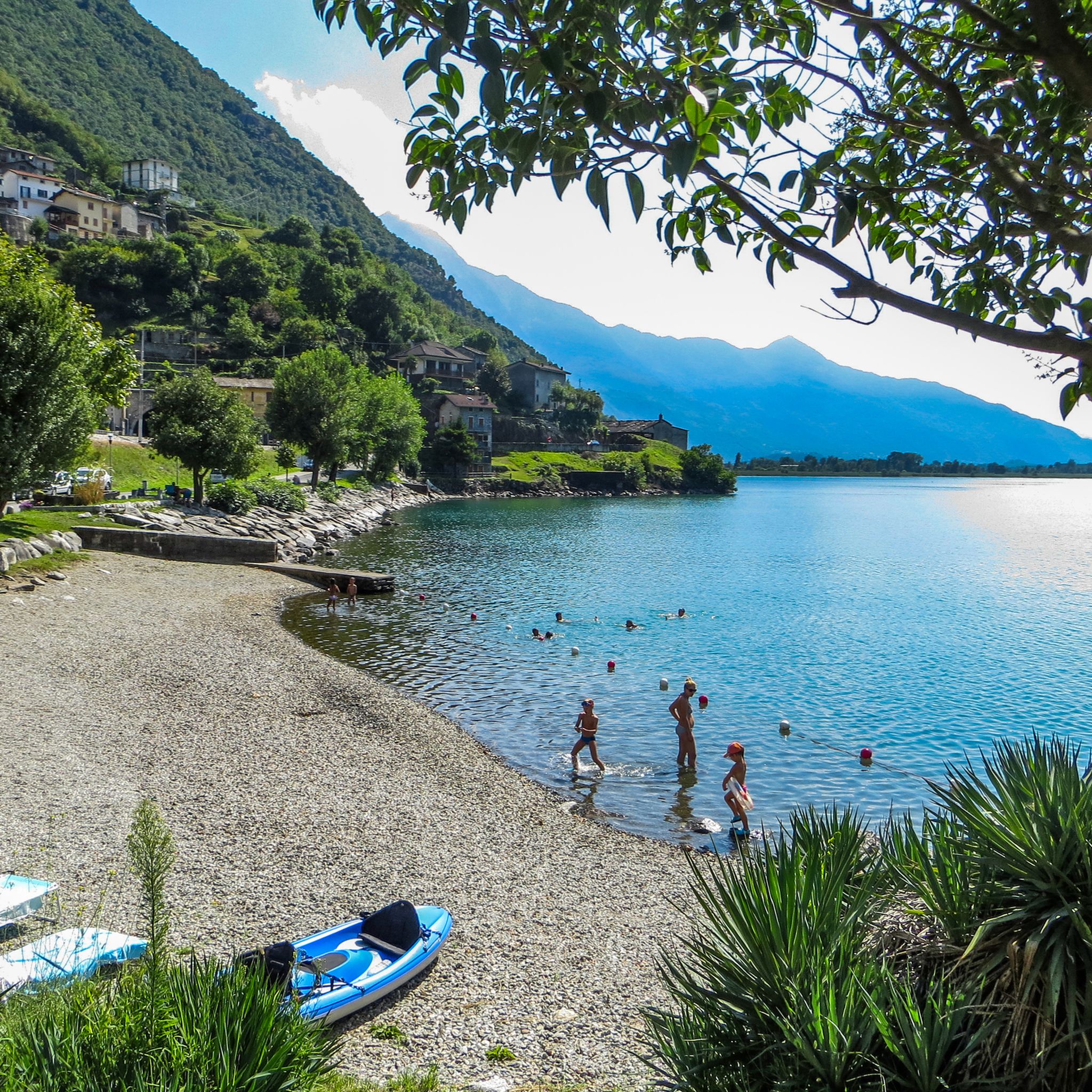
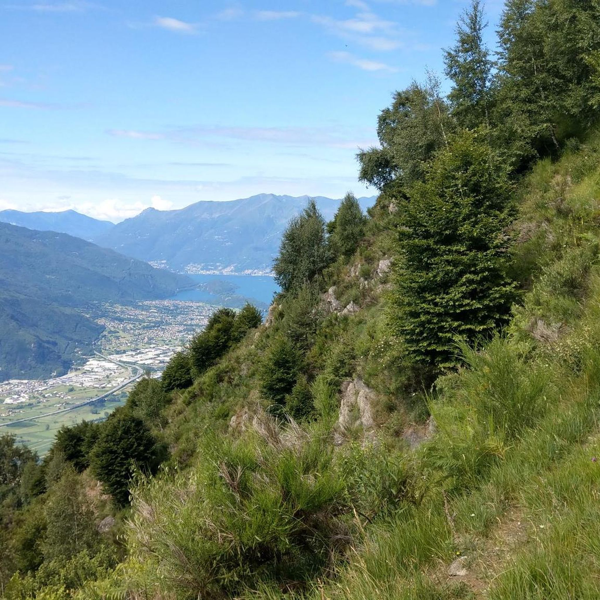
The same church is located right next to the parking lot. From there, you have a breathtaking view of Lake Como.
0
0


Wonderful day, wonderful view
0
0

Perhaps it would be useful to ask for information on possible practicability I know it's closed
2
0

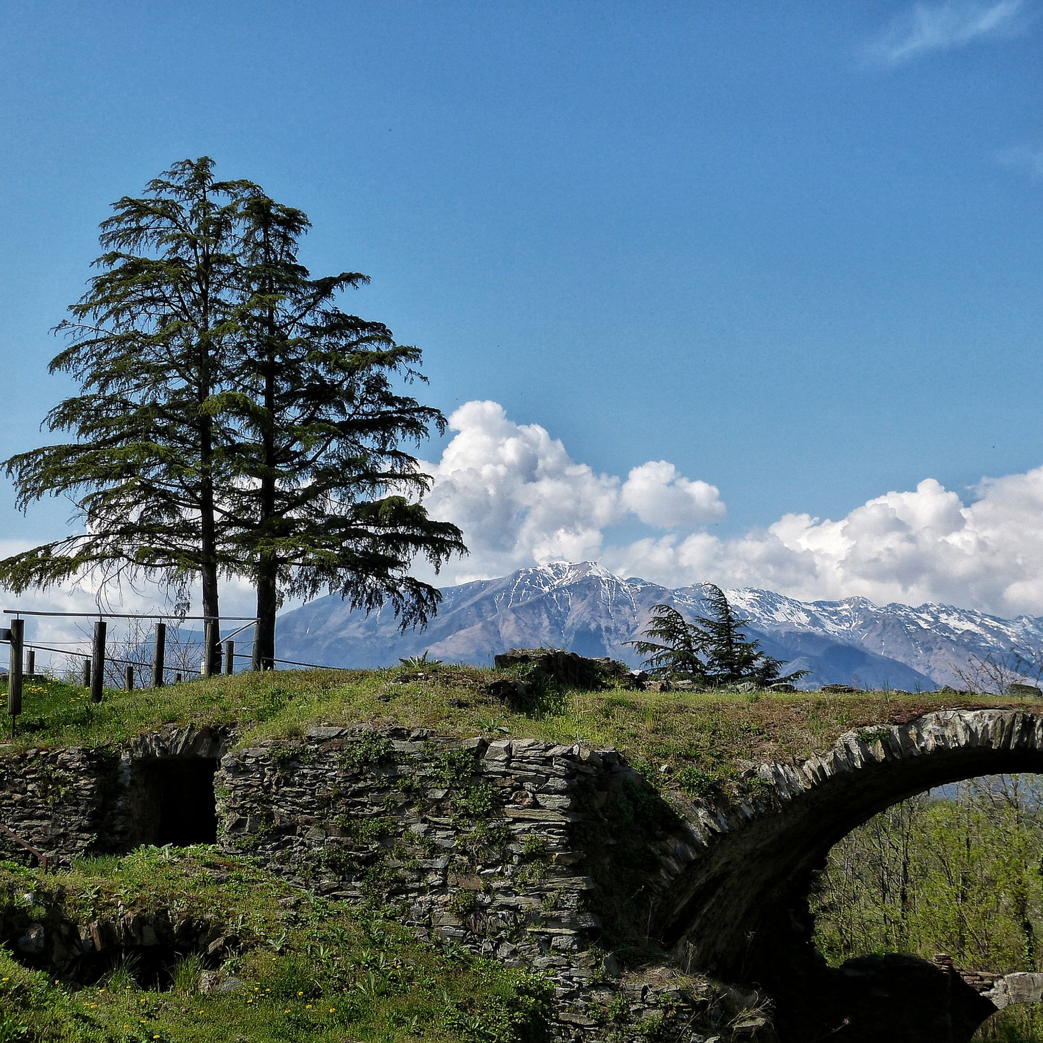
Wonderful mountain pasture on the path that leads to Monte Berlinghera or Sasso Canale.
0
2
Frequently Asked Questions
How many mountaineering routes are available around Cino?
There are 6 mountaineering routes around Cino, offering a mix of moderate and difficult ascents through the Valtellina Valley.
What kind of terrain can I expect on mountaineering routes in Cino?
Mountaineering routes in Cino feature varied elevation changes within an alpine setting, characteristic of the Italian Alps. You'll encounter mountainous landscapes and challenging ascents, often with expansive valley views.
Are there any circular mountaineering routes in Cino?
Yes, several routes are circular. For a moderate option, consider the View of Valtellina Valley loop from Montemezzo. For a more challenging experience, the View of Sasso Bianco – Alpe di Mezzo loop from Montemezzo is a difficult circular path.
What are some challenging mountaineering routes in Cino?
For those seeking a challenge, the View of Sasso Bianco – Alpe di Mezzo loop from Montemezzo is a difficult 11 km path with significant elevation gain. Another demanding option is the San Giorgio di Cola loop from Verceia, which covers over 12 km and features nearly 1000 meters of ascent.
Are there any routes that pass by waterfalls in Cino?
Yes, the Behind the Waterfall – Village of Codera loop from Novate Mezzola is a difficult route that leads through varied landscapes and features a waterfall. You can also explore highlights like the Waterfalls of the Valle Le Valene Stream or the Waterfall and Witches' Cottage in the region.
What natural landmarks or viewpoints can I find along the routes?
The region offers several natural landmarks and viewpoints. You can reach the Monte Legnone Summit for panoramic views, or explore the Pian di Spagna and Lake Mezzola Nature Reserve. Many routes, such as the View of Valtellina Valley loop from Montemezzo, offer expansive views of the surrounding valley.
What do other mountaineers enjoy most about Cino?
The mountaineering routes in Cino are highly rated by the komoot community, with an average score of 4.9 stars. Users frequently praise the diverse terrain, challenging ascents, and the scenic views of the Valtellina Valley and surrounding alpine environment.
Are there any moderate mountaineering routes suitable for those with some experience?
Absolutely. The View of Valtellina Valley loop from Montemezzo is a popular moderate route, covering 7.4 km and taking around 3 hours 39 minutes. Another moderate option is a shorter version of the Behind the Waterfall – Village of Codera loop from Novate Mezzola.
What is the best time of year for mountaineering in Cino?
While specific seasonal details for Cino are not provided, alpine regions like the Italian Alps generally offer the best mountaineering conditions from late spring through early autumn (typically June to September), when snowmelt has receded and weather is more stable. Always check local weather forecasts before heading out.
Can I find routes that offer views of the Sasso Bianco?
Yes, the View of Sasso Bianco – Alpe di Mezzo loop from Montemezzo is a difficult route specifically designed to offer views of Sasso Bianco, along with traversing alpine terrain.
Most popular attractions around Cino

Get inspired with the komoot mobile app


Explore more
Browse the best Mountain Hikes & Routes in other regions.
