The best cycling routes around Gottolengo
4.3
(156)
1,251
riders
226
rides
Touring cycling around Gottolengo, located in the Lombardy region of Italy, offers routes through a landscape characterized by agricultural plains and river systems. The terrain is generally flat to gently rolling, with modest elevation changes suitable for extended rides. The area benefits from natural scenery and proximity to low hills, providing varied cycling experiences.
Best touring cycling routes around Gottolengo
- The most popular touring cycling route is Capriano del Colle Clock Tower – Monte Netto Cycling Route loop from Castelletto…
Last updated: November 1, 2026
18
riders
66.7km
04:00
370m
370m
Moderate bike ride. Good fitness required. Mostly paved surfaces.
9
riders
27.7km
01:36
70m
70m
Easy bike ride. Mostly paved surfaces.

5.0
(2)
8
riders
51.2km
03:17
140m
140m
Moderate bike ride. Good fitness required. Mostly paved surfaces.
3.0
(1)
6
riders
37.3km
02:18
90m
90m
Moderate bike ride. Good fitness required. Mostly paved surfaces.
7
riders
27.2km
01:32
50m
50m
Easy bike ride. Mostly paved surfaces.
Get access to more routes and recommendations from other explorers.
Already have an account?
Our route recommendations are based on thousands of hikes, rides, and runs completed by other people on komoot.
Start today with a free account
Your next adventure awaits.
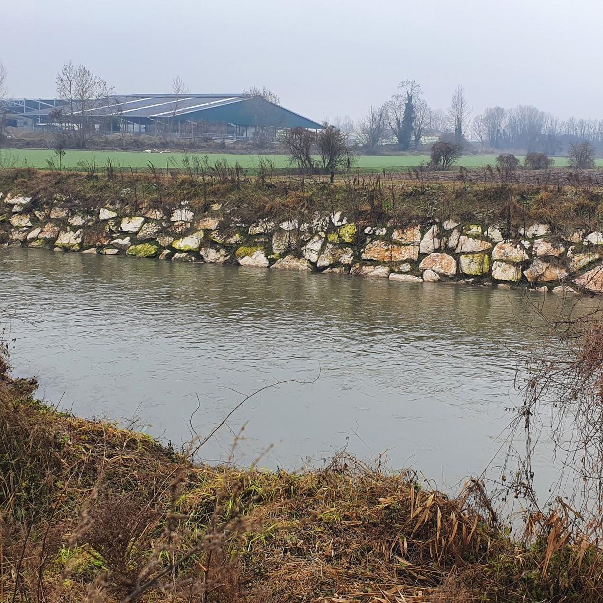
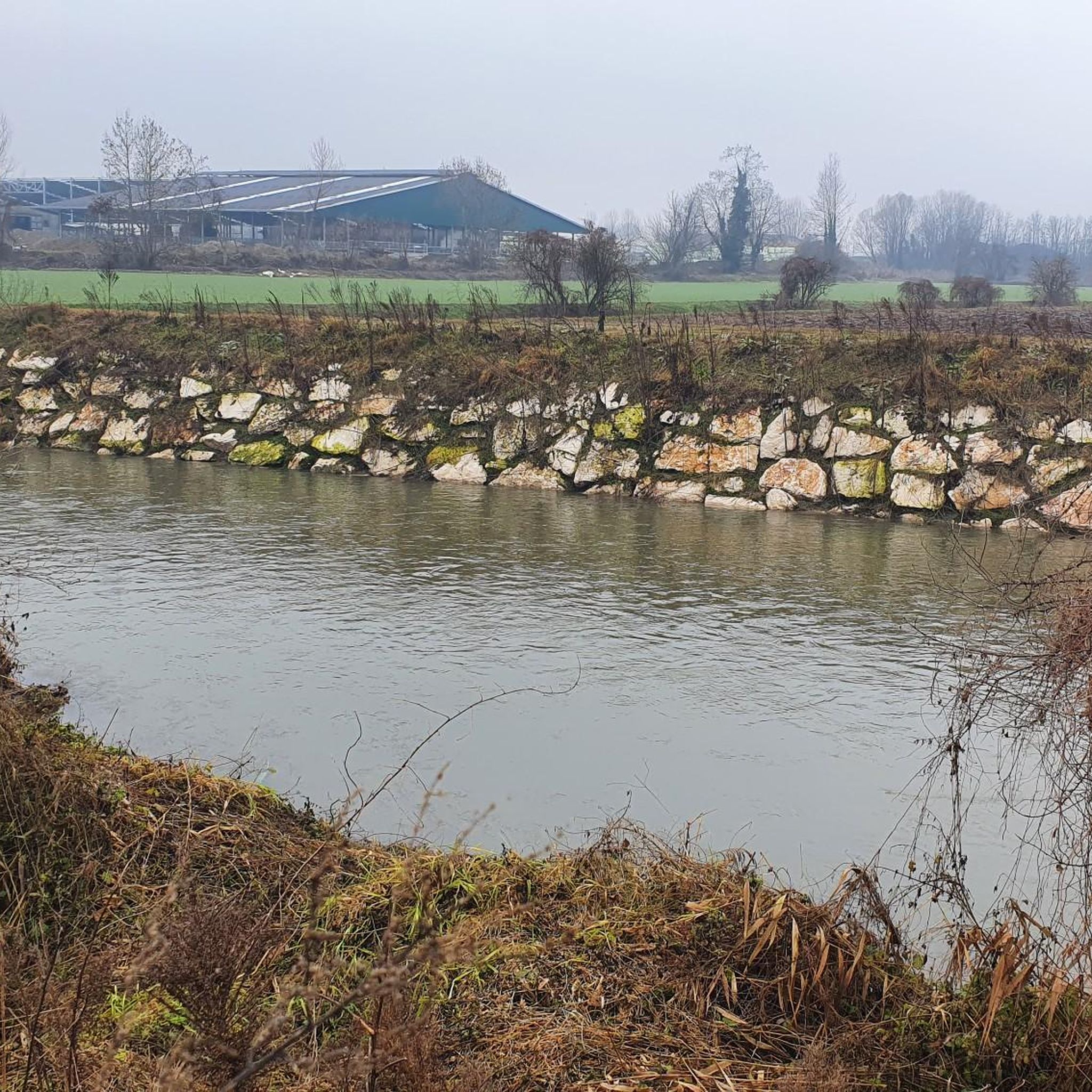
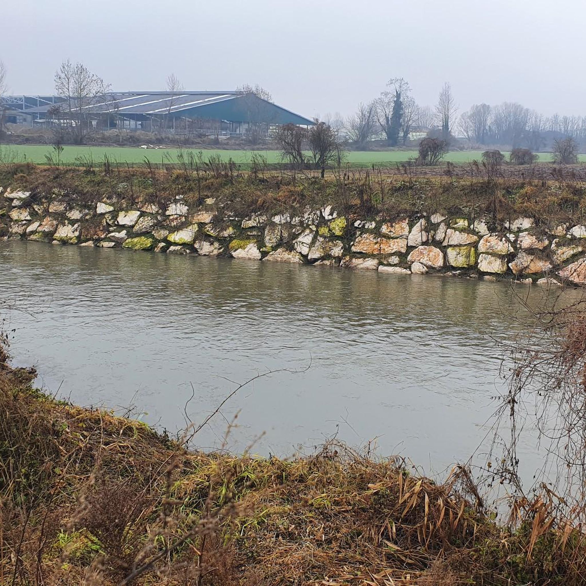
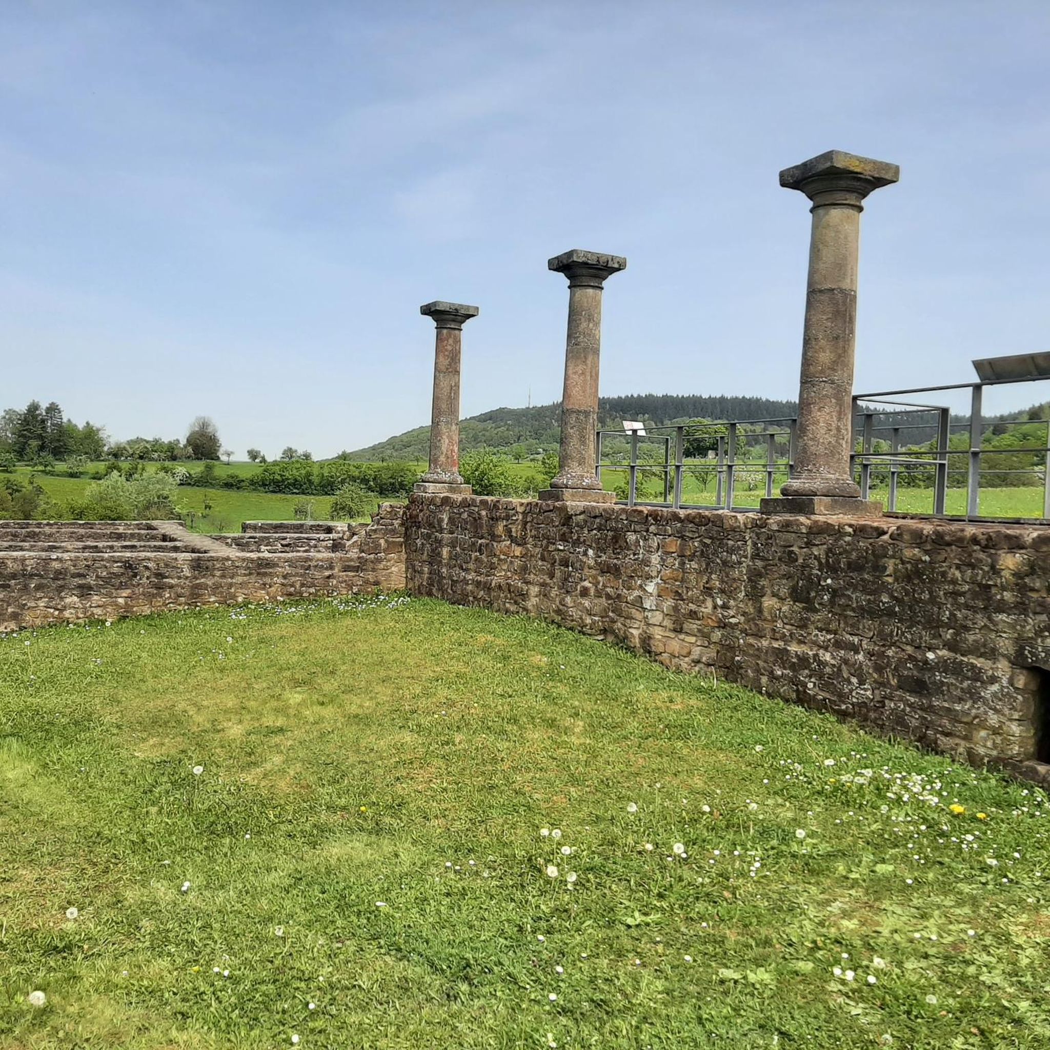

Tips from the Community

Piazzale Arnaldo is a historic and lively square located on the eastern edge of the historic center of Brescia, at the beginning of corso Magenta and via Tosio Martinengo. It is one of the city's main meeting points, famous both for its 19th-century architecture and as a center of nightlife.
0
0
Pontevico is an Italian municipality of about 7,150 inhabitants located at the southern end of the province of Brescia, in Lombardy. The village stands in a historically strategic position along the Oglio river, which marks the natural border with the province of Cremona. The name derives from the Latin Pons Vici, which literally means "bridge of the village". The municipal territory is predominantly flat and includes the hamlets of Bettegno, Campazzo, Chiesuola and Toro. Local economy is historically divided between a strong agricultural vocation and an industrial textile development linked to the Bassa Bresciana district. The center is about 32 kilometers from the provincial capital Brescia and is easily reachable by car via the A21 motorway or by the Brescia-Cremona railway line.
0
0

Beautiful church with cloister
0
0

nice climb for everyday training, offers both dirt and asphalt climbs
1
0

start of the climb
1
0

particular square on one side stands a long portico, once the site of the market
1
0
Bagnolo-Poncarale road
0
0
Brunelli Bertazzoli Palace
0
0
Frequently Asked Questions
How many touring cycling routes are available around Gottolengo?
There are over 200 touring cycling routes available around Gottolengo, offering a wide range of options for different preferences and skill levels.
What is the terrain like for touring cycling in Gottolengo?
The terrain around Gottolengo is primarily characterized by agricultural plains and river systems. You can expect generally flat to gently rolling landscapes with modest elevation changes, making it suitable for extended rides. The area also features low hills, adding variety to the cycling experience.
What are the difficulty levels of touring cycling routes in Gottolengo?
Gottolengo offers a good mix of routes for various abilities. You'll find approximately 96 easy routes, 105 moderate routes, and 8 more challenging routes, ensuring there's something for everyone from beginners to experienced cyclists.
When is the best time of year to go touring cycling in Gottolengo?
The Lombardy region, where Gottolengo is located, generally offers pleasant cycling conditions during spring (April-May) and autumn (September-October) when temperatures are milder. Summer can be warm, while winter might be cooler and potentially foggier in the plains.
Are there any historical landmarks or castles to see along the cycling routes?
Yes, several routes pass by historical points of interest. For instance, the Chiusa Isola – Ostiano Castle loop from Pralboino features the historic Ostiano Castle. Other notable castles in the wider area include Gazzo Castle - Scandalora Ripa d'Oglio (CR) and Gambara Palace and Pralboino Castle.
What natural features can I expect to see while cycling around Gottolengo?
You can expect to cycle through agricultural plains, alongside river systems, and past low-lying hills. Routes like the Strone River Park – Cyclopedestrian Bridge over the Oglio loop from Pralboino take you through river park scenery. The broader region is known for its natural beauty, including areas like Bosco del Lusignolo.
What do other touring cyclists say about the routes in Gottolengo?
The touring cycling routes around Gottolengo are highly regarded by the komoot community, holding an average rating of 4.3 stars from over 130 reviews. More than 1100 touring cyclists have explored the area, often praising the varied terrain and scenic agricultural landscapes.
Are there any easy touring cycling routes suitable for beginners or families?
Absolutely. There are approximately 96 easy routes around Gottolengo. An excellent option for a less strenuous ride is the Castle in Rovagnate loop from Castelletto, which is classified as easy and covers about 26 km.
Are there circular touring cycling routes available in Gottolengo?
Yes, many of the touring cycling routes around Gottolengo are designed as loops, allowing you to start and finish in the same location. Examples include the Capriano del Colle Clock Tower – Monte Netto Cycling Route loop from Castelletto and the Pieve di Comella – Strone River Park loop from Gottolengo.
Can I find routes that offer scenic viewpoints?
While Gottolengo itself is in a flatter area, some routes offer elevated views. For example, the Capriano del Colle Clock Tower – Monte Netto Cycling Route loop from Castelletto provides views from Monte Netto. The nearby Monte Rocchetta, about 15 km away, is also known for scenic vistas.
What kind of elevation gain can I expect on touring cycling routes in Gottolengo?
The routes generally feature modest elevation gains, reflecting the region's flat to gently rolling terrain. For instance, the Chiusa Isola – Ostiano Castle loop from Pralboino has an elevation gain of around 93 meters, while the Strone River Park – Cyclopedestrian Bridge over the Oglio loop from Pralboino has about 170 meters of ascent.
Are there options for longer, more challenging rides?
Yes, while many routes are easy to moderate, there are 8 routes classified as difficult for those seeking a greater challenge. The longer moderate routes, such as the Strone River Park – Cyclopedestrian Bridge over the Oglio loop from Pralboino (56.5 km), also provide extended riding opportunities.
Are there places to stop for refreshments or food along the routes?
As you cycle through the agricultural plains and small towns around Gottolengo, you will find opportunities to stop for refreshments. Many villages and towns along the routes will have local cafes, trattorias, or small shops where you can refuel.
Most popular routes around Gottolengo
Most popular attractions around Gottolengo

Get inspired with the komoot mobile app


Explore more
Browse the best Cycling routes in other regions.
