The best walks and hikes around Gambara
3.9
(10)
85
hikers
23
hikes
Hiking around Gambara, located in the Brescia province of Italy, offers a network of trails through a predominantly flat to gently undulating landscape. The region is characterized by agricultural scenery, including fields and waterways, providing a tranquil setting for outdoor activities. Trails often follow riverbanks and irrigation channels, such as the Roggia Gambara, connecting small towns and historical points of interest.
Best hiking trails around Gambara
- The most popular hiking route is Walking along the river of Gambara, a 7.5 miles (12.0 km) moderate trail that takes about 3 hours 3 minutes to complete. This route follows the river, offering views of the surrounding flat landscape.
- Another top favourite among local hikers is Chapel – Historic Church loop from Isola Dovarese, a moderate 11.4 miles (18.3 km) path. This longer route connects historical sites and churches, winding through the rural countryside.
- Local hikers also love the Trail on the Roggia Gambara loop from Gambara, a 4.4 miles (7.0 km) easy trail leading along the Roggia Gambara, often completed in about 1 hour 47 minutes.
- Hiking around Gambara is defined by river paths, agricultural fields, and historical points of interest. The network offers options for different ability levels, from easy strolls to longer moderate routes.
- The routes in Gambara are highly rated by the komoot community with an average score of 4.0 stars from over 7 reviews. More than 50 hikers have used komoot to explore Gambara's varied terrain.
Last updated: July 1, 2026
3.0
(1)
4
hikers
12.0km
03:03
30m
30m
Moderate hike. Good fitness required. Easily-accessible paths. Suitable for all skill levels.
10
hikers
8.28km
02:07
30m
30m
Moderate hike. Good fitness required. Easily-accessible paths. Suitable for all skill levels.

Sign up for free
3.0
(1)
7
hikers
5.96km
01:31
20m
20m
Easy hike. Great for any fitness level. Easily-accessible paths. Suitable for all skill levels.
4
hikers
Easy hike. Great for any fitness level. Easily-accessible paths. Suitable for all skill levels.
5.0
(1)
8
hikers
12.7km
03:13
30m
30m
Moderate hike. Good fitness required. Easily-accessible paths. Suitable for all skill levels.
Get access to more routes and recommendations from other explorers.
Sign up for free
Already have an account?
Our route recommendations are based on thousands of hikes, rides, and runs completed by other people on komoot.
Start today with a free account
Your next adventure awaits.
Login or Signup


Tips from the Community

equipped for picnics with bathroom
1
0

Church of the parish of Saints Peter and Paul of Gambara.
1
0
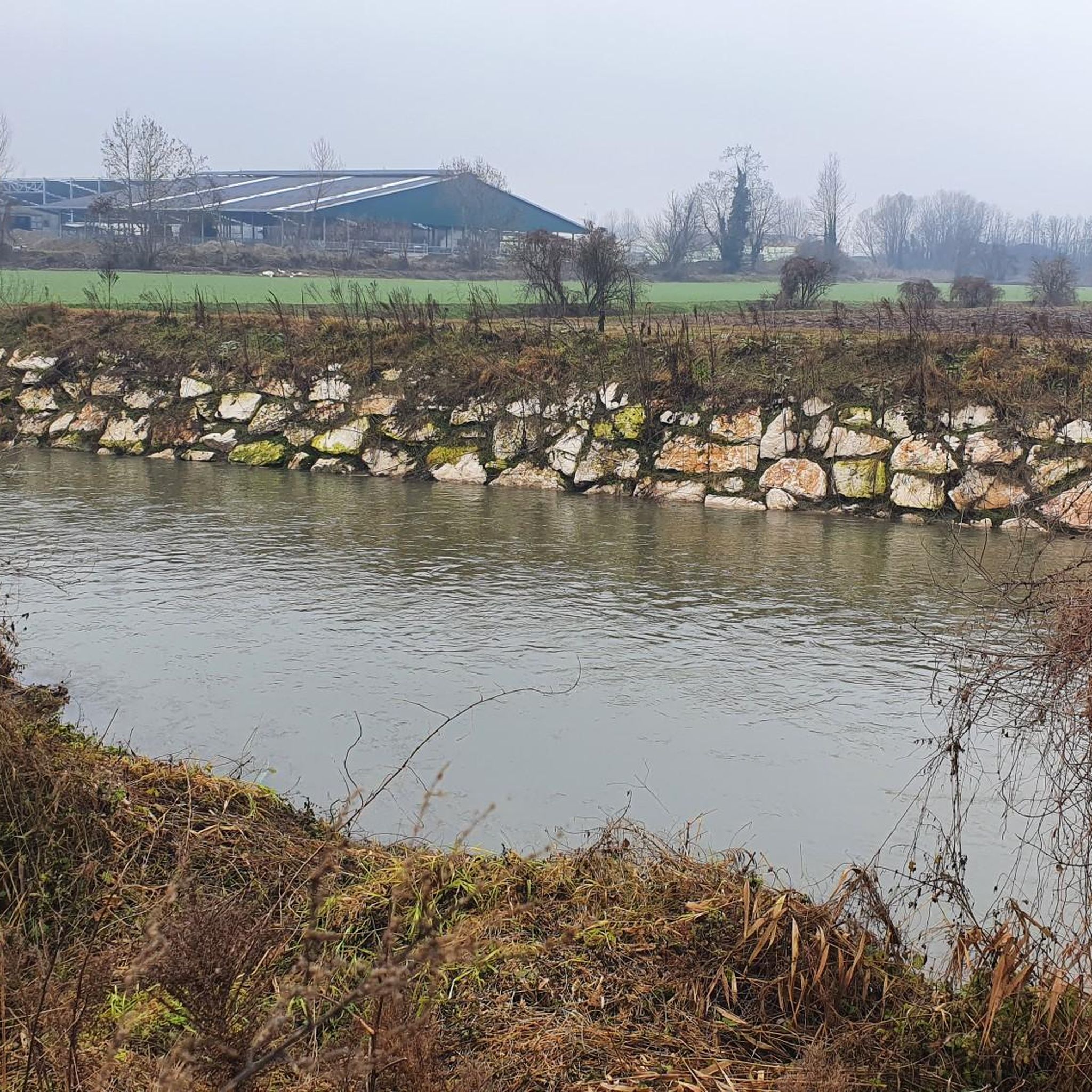
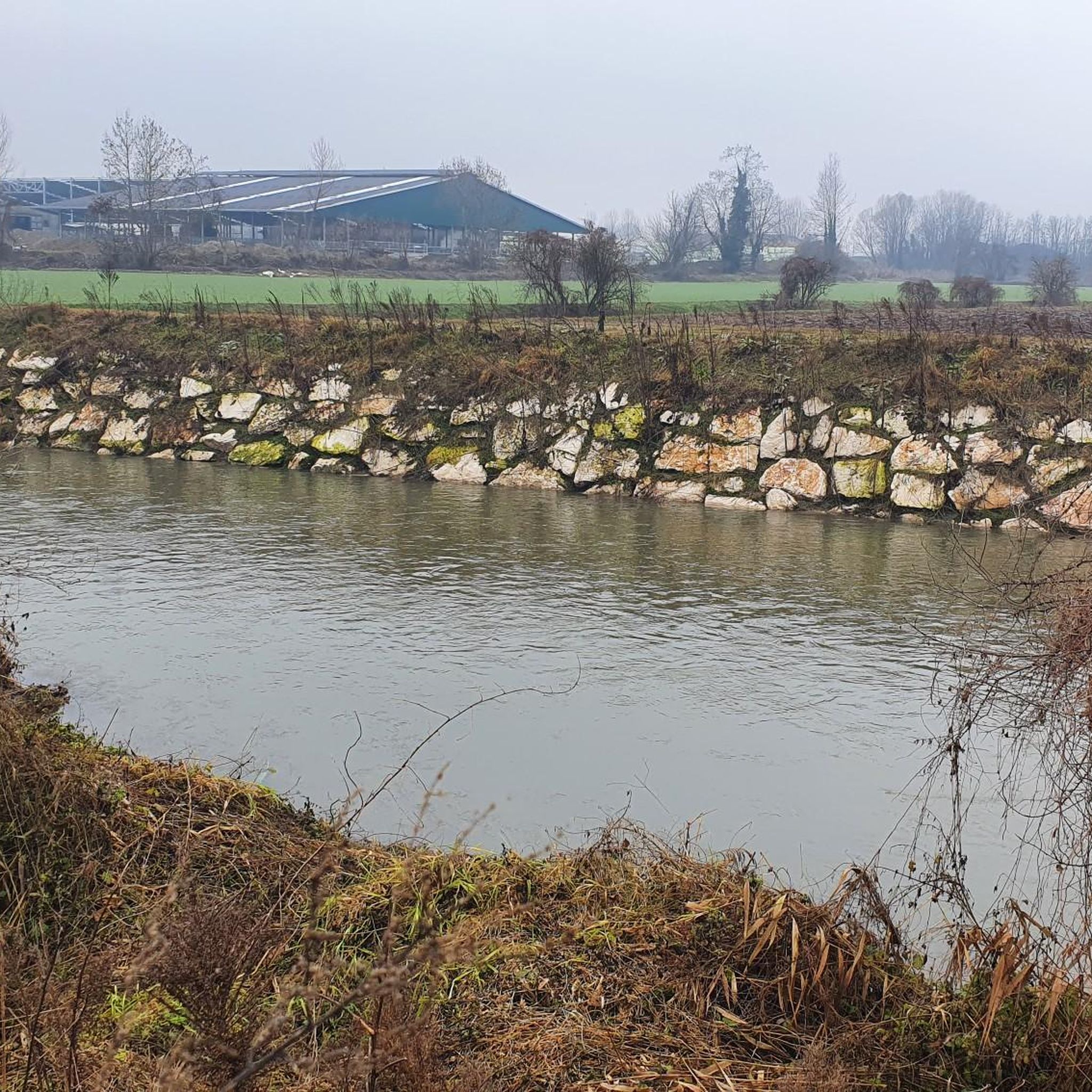
Splendid path that accompanies the Gambara stream.
1
0
Small characteristic church in the center of the village.
1
0

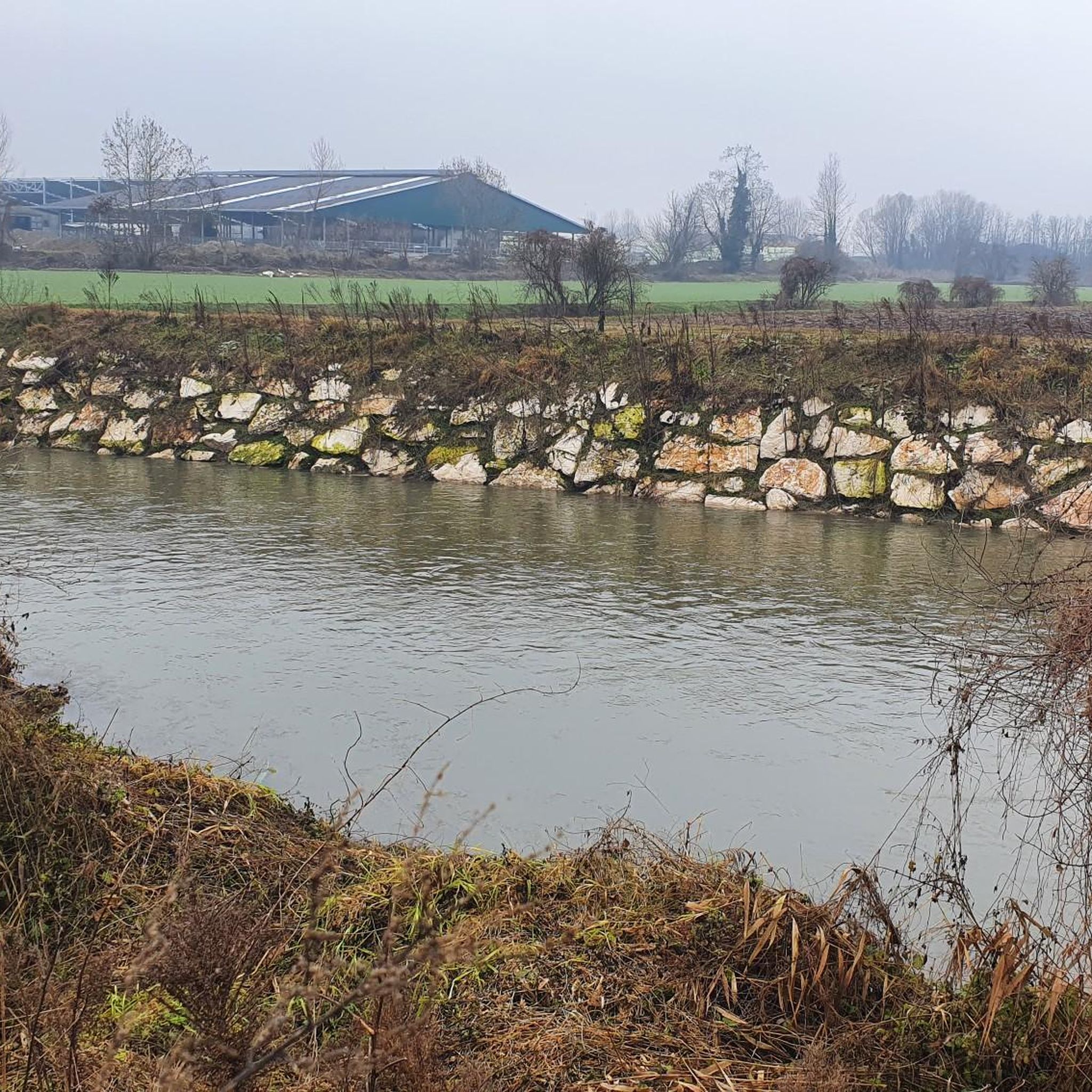
Very nice and quiet path along the Roggia Gàmbara, lined with trees to the left and right, it offers peace and relaxation ... also very easy to explore by bike
0
1
This is where the water of the Roggia Gàmbara is dammed up and then channeled into the irrigation channels in the area, if you like the noise and the movement of the water, this is the right place ... also easy to reach by bike
0
0
I don't know about this church 🤷♂️ but it's kind of beautiful 😀
1
1
I don't know anything about this church🤔, but it's kind of beautiful 😀
0
0
Frequently Asked Questions
How many hiking trails are available around Gambara?
Gambara offers a selection of 17 hiking routes. These include 8 easy trails, 8 moderate trails, and 1 more challenging route, providing options for various fitness levels.
What kind of terrain can I expect on hikes in Gambara?
The trails in Gambara feature a diverse mix of surfaces, including dirt paths, paved sections, traditional footpaths, and cart tracks. You'll encounter both flat stretches and short, challenging climbs, often winding through lush vineyards, olive groves, and agricultural fields. Many paths offer very panoramic views of the surrounding landscape.
Are there family-friendly hiking options in Gambara?
Yes, Gambara has several easy trails suitable for families. A good option is the Hiking loop from Gambara, which is 4.6 miles (7.4 km) long and can be completed in about 1 hour 40 minutes. These routes typically follow river paths and agricultural fields, offering a tranquil setting.
Are hiking trails in Gambara suitable for dogs?
Many of the natural trails and paths through the agricultural landscape of Gambara are generally suitable for dogs, provided they are kept on a leash and you respect local regulations, especially when passing through cultivated areas or near livestock. Always ensure you carry water for your pet.
Are there circular hiking routes in Gambara?
Yes, many routes in Gambara are circular, allowing you to start and end at the same point. For example, the Trail on the Roggia Gambara loop from Gambara is an easy 4.4 miles (7.0 km) route that follows the historic Roggia Gambara. Another option is the moderate Chapel – Historic Church loop from Isola Dovarese, which is 11.4 miles (18.3 km) long.
What historical sites or landmarks can I see while hiking in Gambara?
Hiking routes in Gambara often integrate historical points of interest. You might encounter religious buildings like the Chiesa di Comella or the Parish Church of Acquafredda. The region also features historical sites such as Piazza Matteotti in Isola Dovarese, and several castles like Ostiano Castle are nearby.
Are there any natural attractions or scenic views along the trails?
Yes, Gambara's trails are known for their scenic beauty. You'll often walk through picturesque vineyards and olive groves, with many paths offering panoramic views of the agricultural landscape. The Bosco del Lusignolo is a nearby forest highlight, and you might cross structures like the Cycle bridge over the Mella River.
What do other hikers enjoy the most about hiking in Gambara?
The komoot community rates hiking in Gambara highly, with an average score of 4.0 stars. Reviewers often praise the tranquil setting, the blend of natural beauty with cultural heritage, and the well-maintained paths that follow riverbanks and irrigation channels like the Roggia Gambara.
Is it easy to find parking at Gambara's hiking trailheads?
While specific parking information for each trailhead is not always detailed, Gambara is a rural area, and parking is generally available in or near the small towns and villages where many routes begin. It's advisable to check local signage or use navigation apps for specific starting points.
What is the best time of year for hiking in Gambara?
Gambara's mild climate makes it suitable for hiking for much of the year. Spring and autumn offer pleasant temperatures and beautiful scenery, with vineyards in full bloom or displaying vibrant fall colors. Summer can be warm, so early morning or late afternoon hikes are recommended, while winter offers crisp air and a different perspective of the landscape.
Are there any longer, more challenging hikes in the Gambara area?
While Gambara is characterized by predominantly flat to gently undulating terrain, there are longer moderate routes available. The Chapel – Historic Church loop from Isola Dovarese is a moderate 11.4 miles (18.3 km) path that connects historical sites and churches, offering a more extended experience through the rural countryside.
Can I combine hiking with exploring nearby towns or villages?
Absolutely. Many of Gambara's hiking routes connect small towns and historical points of interest, allowing you to easily combine your hike with exploring local villages. The trails often lead through or near these settlements, providing opportunities to experience local culture and amenities.
Most popular attractions around Gambara

Get inspired with the komoot mobile app


Explore more
Browse the best Hikes in other regions.
