The best running trails around Lodrino
4.5
(31)
2,484
runners
107
runs
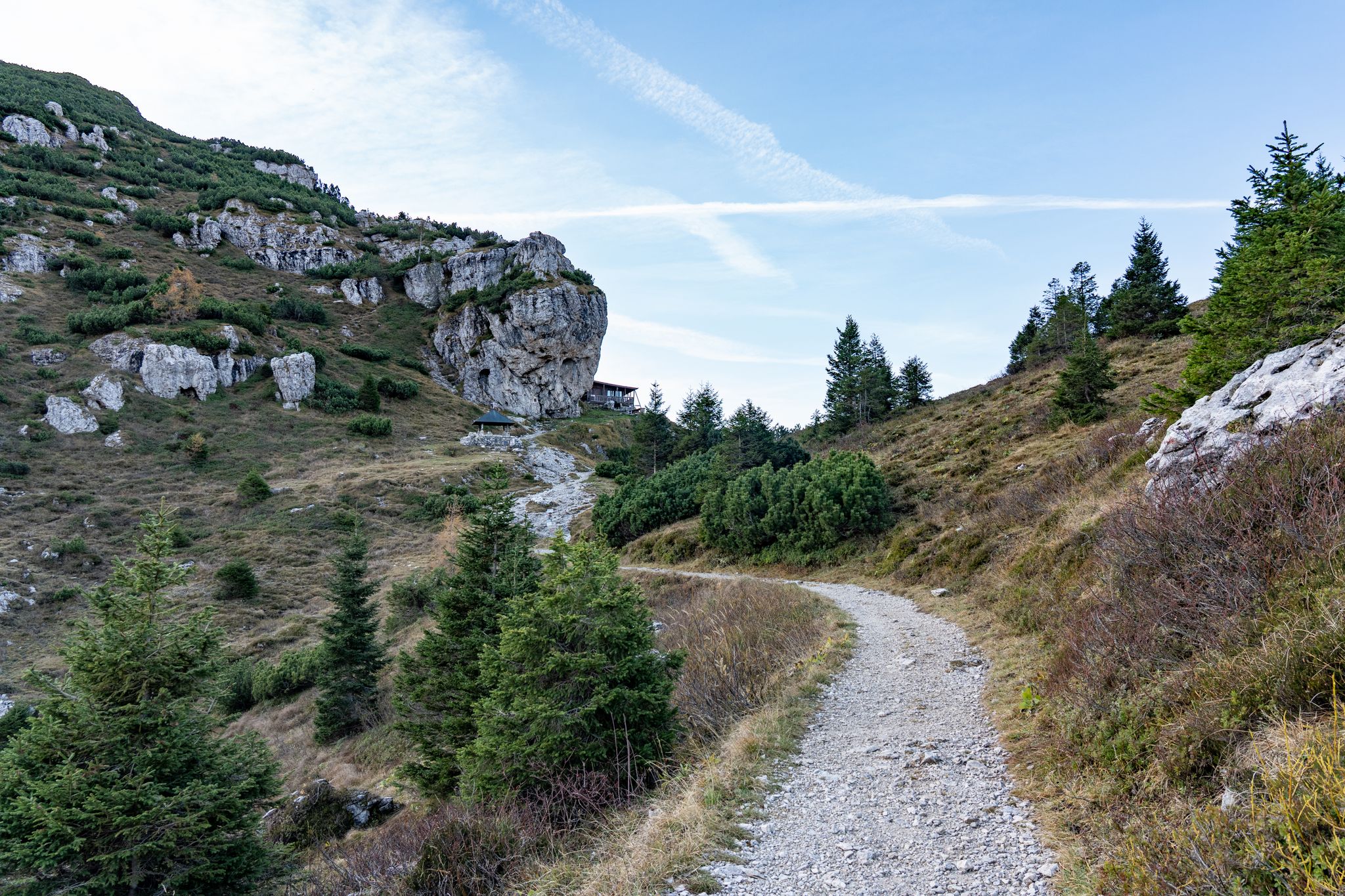
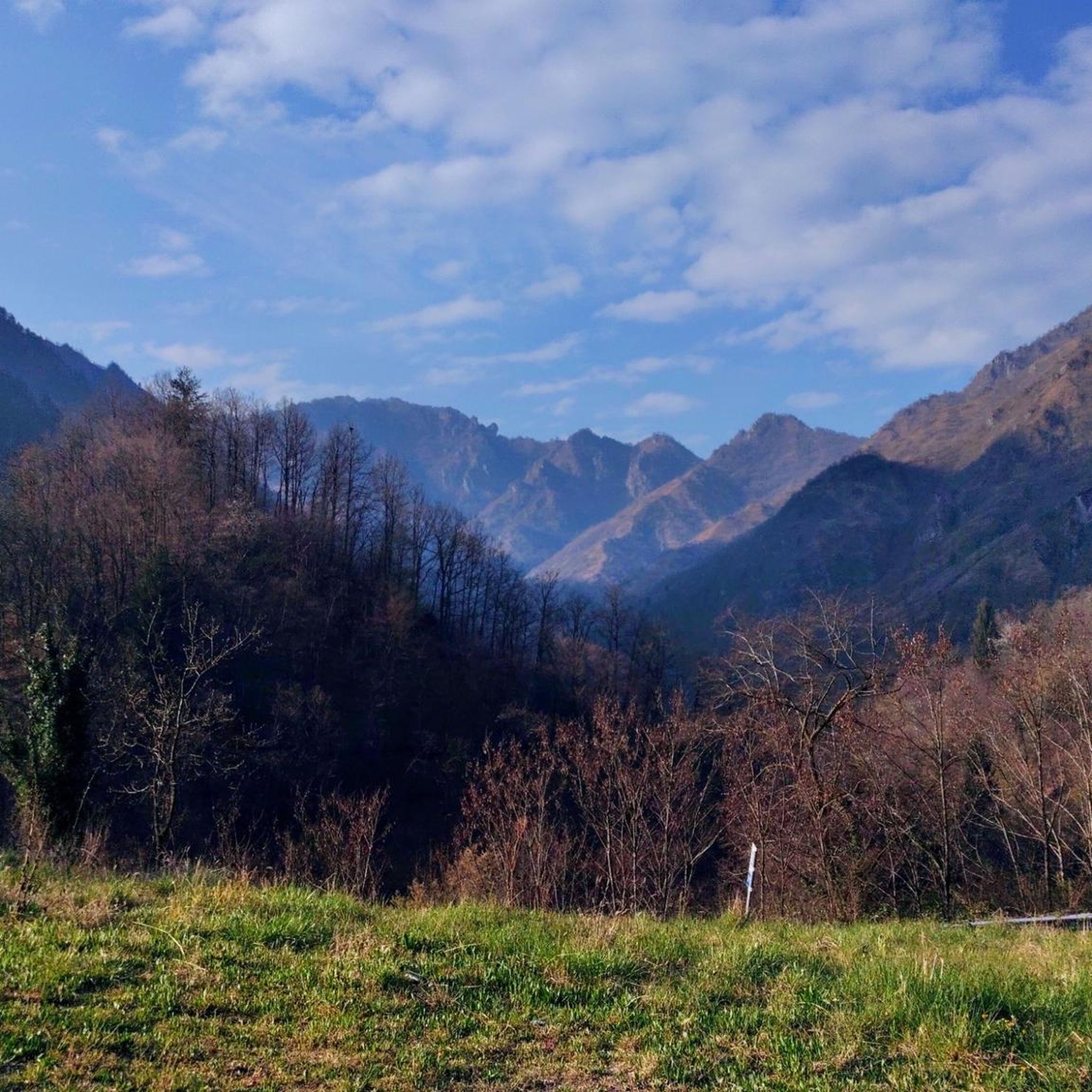
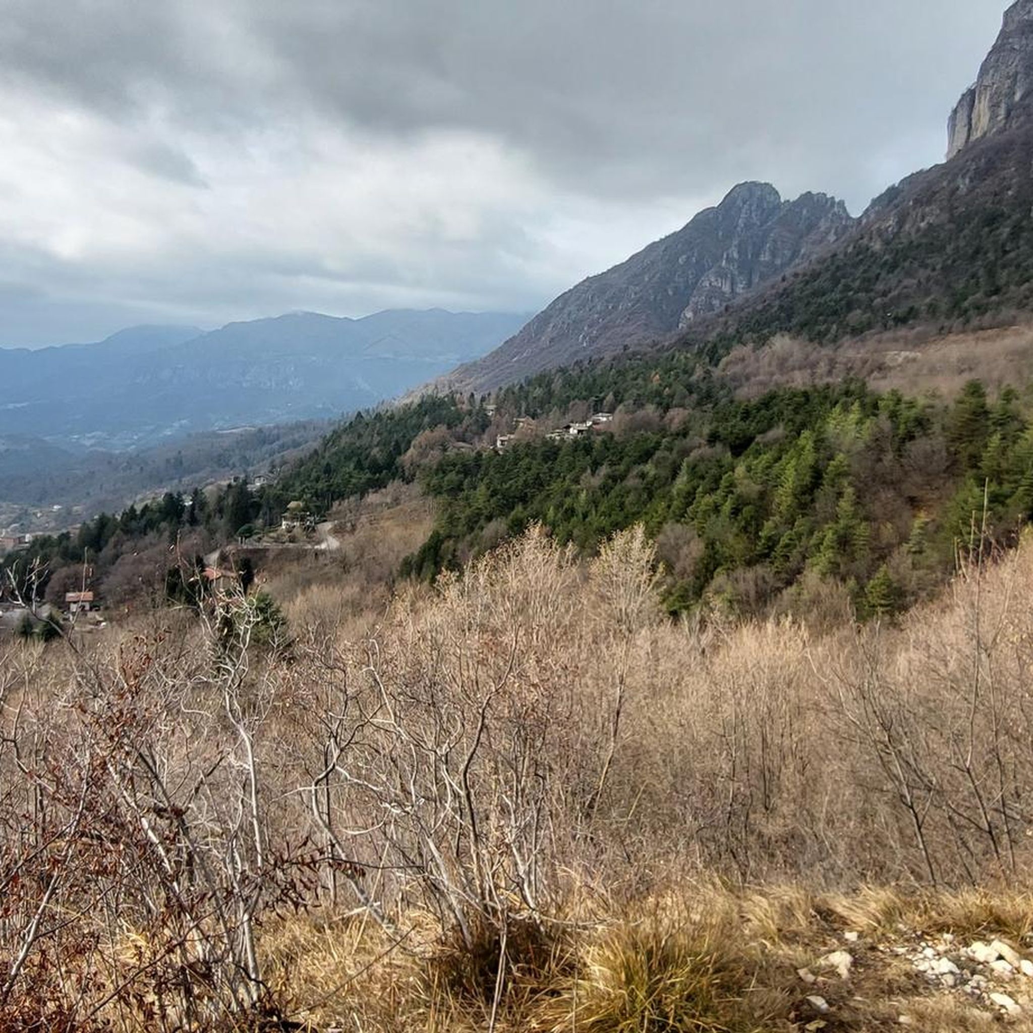
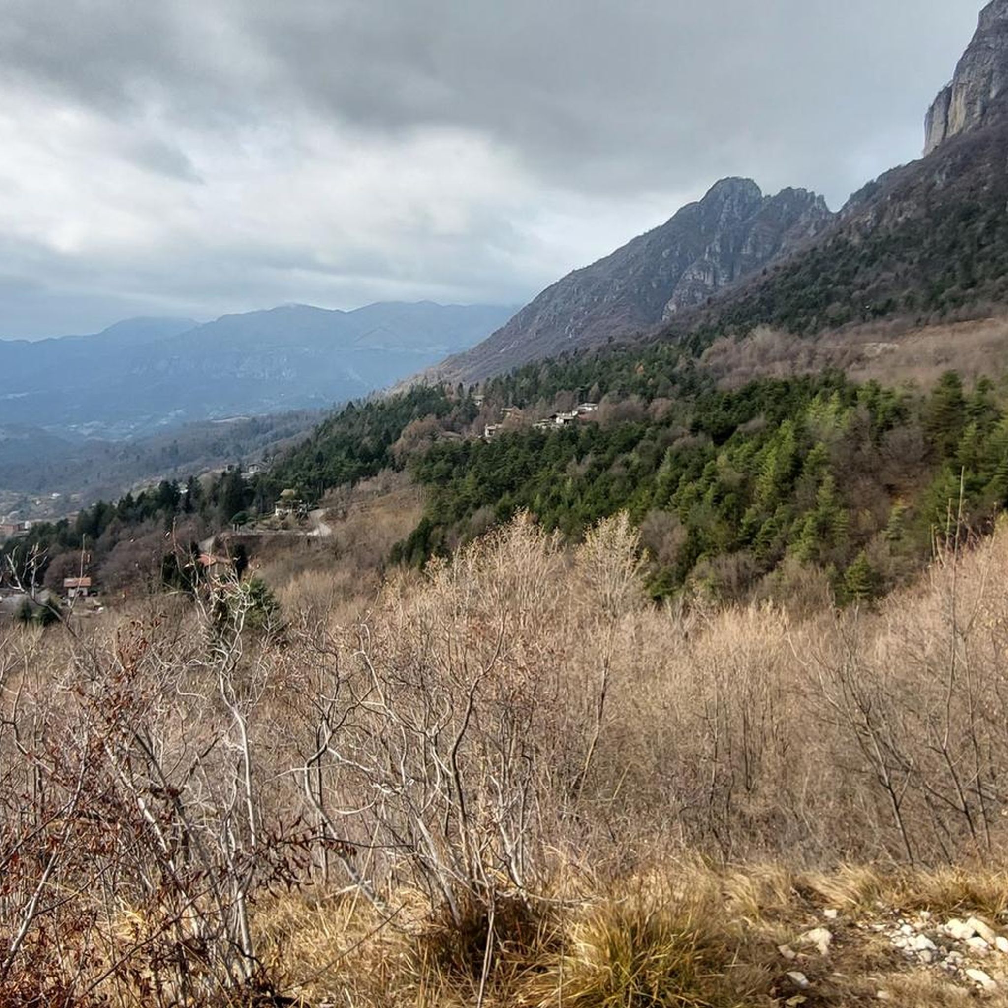
Jogging routes around Lodrino are characterized by mountainous and valley landscapes, offering diverse terrain for runners. The region features panoramic views from various elevations, including hills and higher peaks. Trails often traverse natural settings within the Val Trompia, providing a mix of challenging ascents and more moderate sections. These running paths are set amidst a backdrop of natural beauty and cultural sites.
Best jogging routes around Lodrino
- The most popular jogging route is Pisot Waterfall – Nasego Hut loop from Casto, a 14.3 miles (23.0 km) trail that takes 3 hours 19 minutes to complete. This difficult route features a waterfall and a mountain hut.
- Another top favourite among local runners is Monte Bifo Trail Junction loop from Marcheno, a difficult 13.8 miles (22.2 km) path. This route offers varied mountainous terrain with significant elevation changes.
- Local runners also love the Cimmo – Magno–Caregno Road loop from Tavernole sul Mella, a 16.7 miles (26.8 km) trail leading through local villages and roads, often completed in about 3 hours 34 minutes.
- Jogging around Lodrino is defined by mountainous terrain, scenic valleys, and panoramic viewpoints. The network offers options for different ability levels, from moderate paths to more demanding trail running.
- The routes in Lodrino are highly rated by the komoot community with an average score of 4.8 stars from over 14 reviews. More than 2000 runners have used komoot to explore Lodrino's varied terrain.
Last updated: October 10, 2026
5.0
(1)
82
runners
22.9km
03:19
1,190m
1,190m
Hard run. Very good fitness required. Mostly paved surfaces. Suitable for all skill levels.
5.0
(1)
56
runners
22.3km
03:45
1,570m
1,570m
Hard run. Very good fitness required. Sure-footedness, sturdy shoes and alpine experience required.

55
runners
26.8km
03:34
1,070m
1,070m
Hard run. Very good fitness required. Sure-footedness, sturdy shoes and alpine experience required.
38
runners
10.5km
01:07
160m
160m
Moderate run. Good fitness required. Mostly paved surfaces. Suitable for all skill levels.
35
runners
16.1km
02:31
890m
890m
Hard run. Very good fitness required. Sure-footedness, sturdy shoes and alpine experience required.
Get access to more routes and recommendations from other explorers.
Already have an account?
Our route recommendations are based on thousands of hikes, rides, and runs completed by other people on komoot.
Start today with a free account
Your next adventure awaits.
Popular around Lodrino



Tips from the Community

Along the stream are the ruins of what was once a mill. Although the building has largely collapsed, the structure is still clearly distinguishable.
0
0

Just north of the 1,476-meter peak of Monte Bifo, this crossroads of trails allows you to continue towards Monte Guglielmo and the Almici refuge, or continue towards Passo Lividino. The view of the surrounding mountains is remarkable.
0
0

Beautiful refuge that offers an excellent view of the surrounding area and also of Lake Garda
0
0

The Pisot waterfall is a beautiful waterfall of almost ten meters, located in a small gorge near Casto, in the Fucine park. The best time to visit it is towards the end of spring or the beginning of summer because then during the summer it is likely that the river that generates it has a low volume of water.
1
0
The Nasego refuge is located in the Brescia pre-Alps chain in the municipality of Casto at 1,270 meters above sea level. During the week, the refuge acts as a bivouac for hikers, while on Sundays and public holidays it is managed by a group of volunteers, the "Friends of the Mountain", who make sure to offer an excellent welcome and refreshment.
1
0

Guglielmo top
0
0

Monte Guglielmo, also known as "Gölem", represents the quintessential Brescia mountains and is a very popular destination for trekking and cycling. It is accessible both from Val Trompia and from Lake Iseo, making it suitable for everyone during all seasons, without particularly exposed sections and with a moderate challenge, characterized only by short, more demanding sections. Once you reach the top, where the Redeemer monument stands, you can enjoy a 360 degree panoramic view that ranges from the plain to Lake Iseo, up to the imposing peaks of the Orobie. On the clearest days, it is even possible to glimpse the majestic Monte Rosa.
3
0

Iconic place of Monte Guglielmo which represents reaching the top. The monument stands on the summit of Mount Guglielmo, at around 1950 meters above sea level, built right on the mountain at the beginning of the 20th century as one of the twenty (one per century) monuments to the Redeemer erected on the Italian peaks. The works were conducted by the father of the future Pope Paul VI, Giorgio Montini: in 1902 the chapel was inaugurated, twenty meters high with a large iron cross which, subsequently left to fall into ruin, was rebuilt in 1967, at the express wish of Pope Paul YOU. In his memory, in 1998 a bronze statue was placed next to the church.
3
0
Frequently Asked Questions
How many running routes are available in Lodrino?
There are over 90 running routes around Lodrino, offering a wide variety of options for joggers of all levels. These routes are highly rated by the komoot community, with an average score of 4.8 stars from over 14 reviews.
What kind of terrain can I expect on jogging routes in Lodrino, Italy?
Jogging routes in the Italian Lodrino are characterized by diverse mountainous and valley landscapes. You'll find trails with panoramic views, especially from areas like Monte Guglielmo, offering vistas of Lake Iseo and the Orobie mountains. The Val Trompia provides varied natural settings, from challenging ascents to more moderate sections, often traversing natural parks and cultural sites.
Are there any easy running routes for beginners in Lodrino?
Yes, while many routes are challenging, there are 5 easy running routes available in Lodrino. These are suitable for beginners or those looking for a more relaxed jog. You can filter routes by difficulty on komoot to find the best option for your fitness level.
What are some notable landmarks or viewpoints I can see while running in Lodrino?
Many running routes in Lodrino offer scenic views and pass by interesting landmarks. You might encounter panoramic views of Lake Iseo from spots like Punta Almana or other viewpoints of Lake Iseo. Other highlights include mountain huts like Dosso Rotondo Hut, or natural features like Lake Bongi. The region also features cultural sites such as the Monte Guglielmo Summit and Chapel, and the Monument to the Redeemer.
Are there any circular running routes in Lodrino?
Yes, many of the running routes in Lodrino are circular, allowing you to start and end your run in the same location. For example, the difficult route Büs del Tof – Palazzo Corulli loop from Marcheno is a great option for a circular run, covering over 20 km.
What is the best time of year to go jogging in Lodrino?
The best time to go jogging in Lodrino, particularly the Italian region, is generally during spring and autumn when temperatures are milder and the natural scenery is vibrant. Summer can also be pleasant, especially at higher elevations, but be prepared for warmer conditions in the valleys. Winter running is possible, but some higher trails may be affected by snow or ice.
Are there any running routes suitable for families or those with dogs in Lodrino, Italy?
The Italian Lodrino offers a mix of trails, and while specific family or dog-friendly designations aren't always explicit, many of the less challenging paths and those through local parks like Lembrio Park, Pineta, and Parco degli Alpini can be suitable. Always check local regulations regarding dogs on trails, especially in protected areas.
Where can I find information about parking or public transport for Lodrino's running trails?
Information on parking and public transport access points for specific trails can often be found in the route descriptions on komoot. For broader regional information about Lodrino in Italy, including local services and access, you might find resources on the Visit Val Trompia website.
What distinguishes the running experience in Lodrino, Italy, from Lodrino, Switzerland?
The Italian Lodrino (Brescia Province) offers a more generalized experience with diverse trekking and cycling paths suitable for various levels of jogging, alongside cultural and natural attractions like Monte Guglielmo and Val Trompia. The Swiss Lodrino (Ticino Canton) is renowned for its challenging canyoning and steep trail running, catering to highly conditioned joggers and advanced trail runners with routes like the Lodrino-Lavertezzo Skyrace, featuring significant elevation changes.
Are there any long-distance running routes in Lodrino for experienced runners?
Absolutely. Lodrino is well-suited for experienced runners seeking long and challenging routes. For instance, the Forcelino (1,070 m) loop from Tavernole sul Mella is a difficult route spanning over 31 km with significant elevation gain, perfect for those looking for an endurance challenge.
What are the average distances and elevation gains for running routes in Lodrino?
The running routes in Lodrino vary significantly. Distances can range from shorter, easier paths to long-distance challenges over 30 km. Elevation gains are also diverse, with many difficult routes featuring over 1000 meters of ascent, such as the Monte Bifo Trail Junction loop from Marcheno which has over 1500 meters of elevation gain.
Most popular routes around Lodrino
Most popular attractions around Lodrino

Get inspired with the komoot mobile app


Explore more
Browse the best Running Trails & Routes in other regions.
