The best walks and hikes around Longhena
4.6
(15)
186
hikers
41
hikes
Hiking around Longhena reveals a landscape characterized by flat, open terrain with minimal elevation changes, making it suitable for easy walks. The region features a mix of agricultural fields, small villages, and occasional water bodies. These trails often follow quiet country paths, offering a peaceful outdoor experience.
Best hiking trails around Longhena
- The most popular hiking route is Hiking loop from Offlaga, a 3.3 miles (5.3 km) trail that takes 1 hour 19 minutes to complete. This easy route…
Last updated: May 20, 2026
4.5
(2)
15
hikers
Moderate hike. Good fitness required. Easily-accessible paths. Suitable for all skill levels.
4.0
(1)
14
hikers
11.5km
02:55
20m
20m
Moderate hike. Good fitness required. Easily-accessible paths. Suitable for all skill levels.

Sign up for free
3.0
(1)
10
hikers
4.91km
01:17
40m
40m
Easy hike. Great for any fitness level. Easily-accessible paths. Suitable for all skill levels.
5
hikers
5.98km
01:31
10m
10m
Easy hike. Great for any fitness level. Easily-accessible paths. Suitable for all skill levels.
3.3
(3)
8
hikers
7.66km
01:56
10m
10m
Easy hike. Great for any fitness level. Easily-accessible paths. Suitable for all skill levels.
Get access to more routes and recommendations from other explorers.
Sign up for free
Already have an account?
Our route recommendations are based on thousands of hikes, rides, and runs completed by other people on komoot.
Start today with a free account
Your next adventure awaits.
Login or Signup
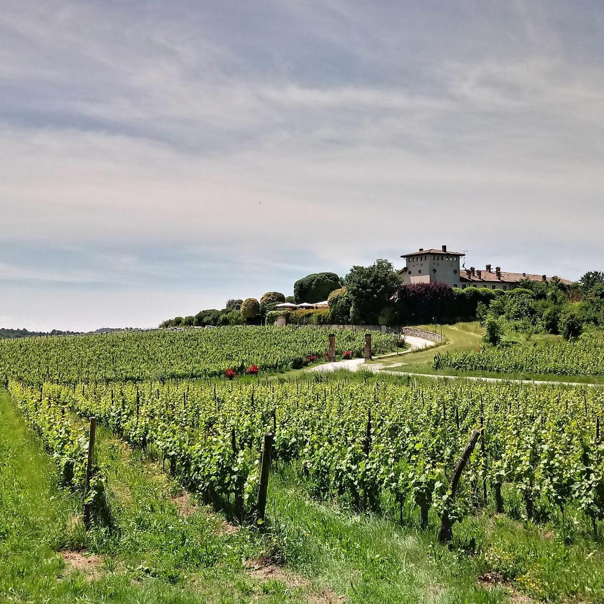
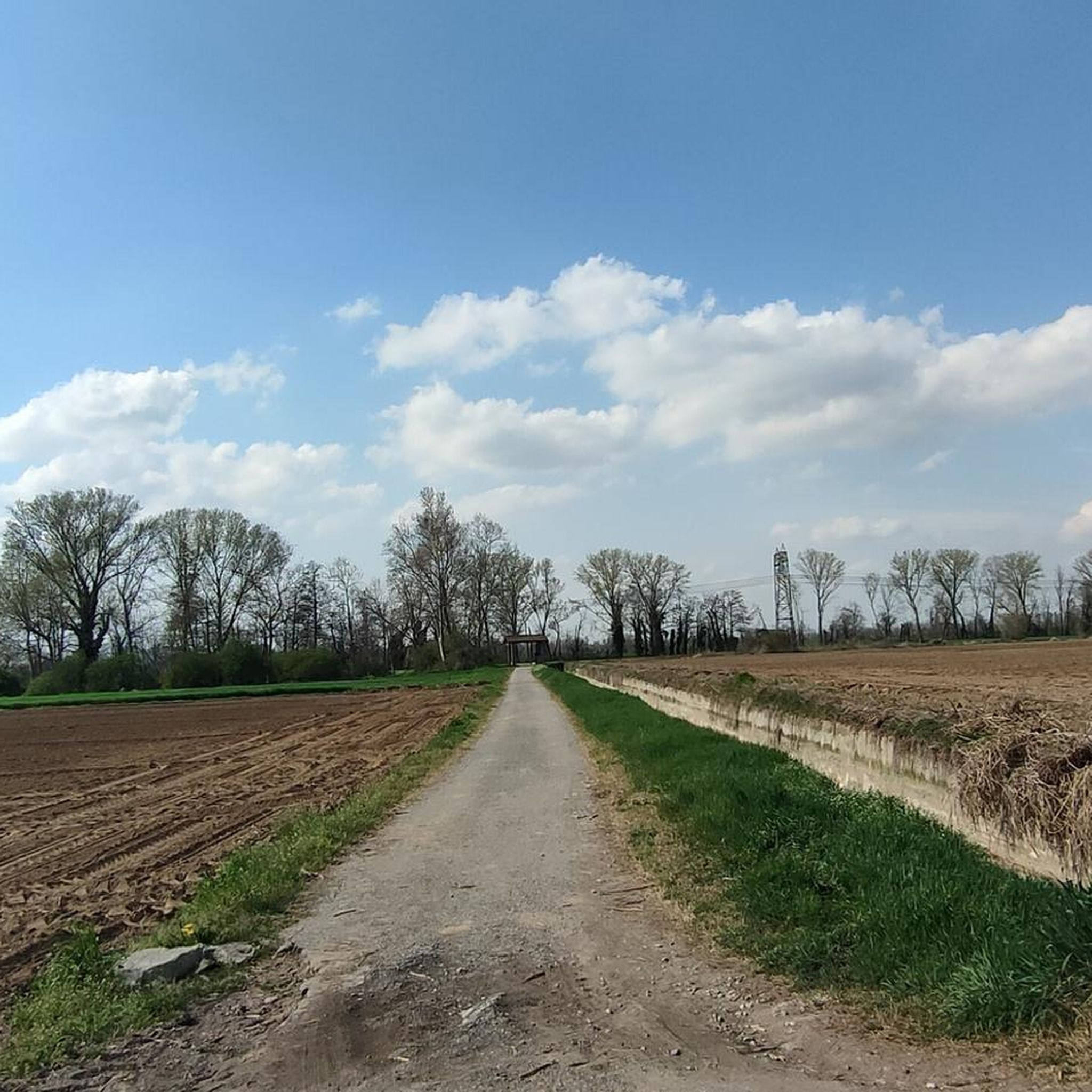
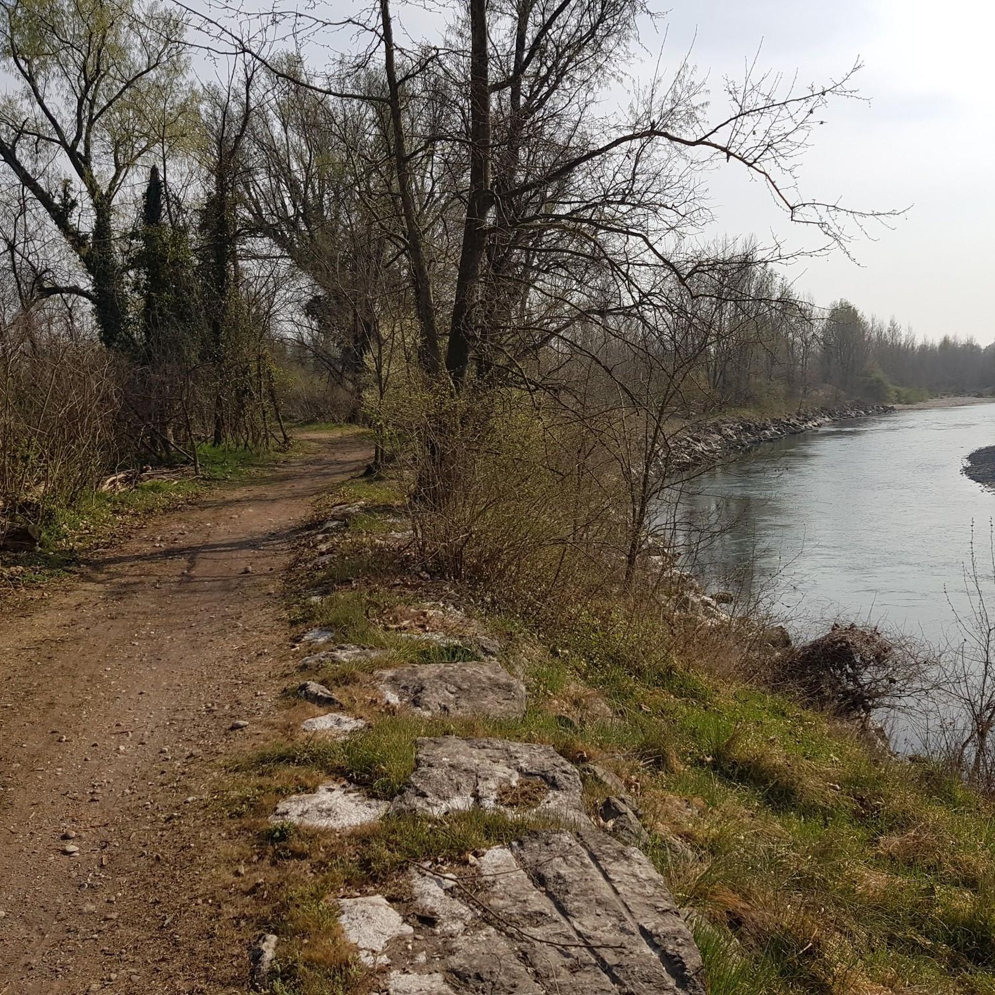

Tips from the Community


Nice stretch of path along the mella, often frequented by fishermen. Easily passable on gravel.
0
0

In Pontegatello, a hamlet of Azzano Mella, a splendid little church dedicated to the Madonna della Formica is of great charm and has the first hills of Brescia as its backdrop. It can be reached via a short gravel road that connects it to the country road that connects Azzano Mella and Torbole Casaglia.
3
0

stretch of the Mella cycle path between the municipality of Azzano and Corticelle. Unpaved but beaten ground, all on the embankment, full of hares and many species of birds, is a full immersion in nature.
2
0

dirt path / grass and gravel that runs alongside the Mella river and connects the villages of Azzano and Corticelle. There are lots of hares and birds
1
0

River cycle path in Azzano Mella
1
0

Frequently Asked Questions
How many hiking trails are available around Longhena?
There are over 20 hiking routes around Longhena, offering a variety of options for exploring the local countryside. The majority of these are classified as easy or moderate.
Are there many easy hikes suitable for beginners in Longhena?
Yes, Longhena is an excellent area for beginners. About 15 of the available routes are rated as easy, characterized by flat terrain and minimal elevation changes. An example is the Laghetto di Scarpizzolo loop from San Paolo, which is 3.8 miles (6.1 km) long.
What kind of terrain can I expect on Longhena's hiking trails?
The hiking trails around Longhena are primarily characterized by flat, open agricultural fields and quiet country paths. You'll experience minimal elevation changes, making for generally gentle and accessible walks through rural landscapes and small villages.
Are there any circular hiking routes in Longhena?
Yes, many of the routes in Longhena are circular, allowing you to start and end at the same point. For instance, the Osteria Aquila Rossa – Castello di Padernello loop from San Paolo is a moderate 5.0 miles (8.0 km) circular trail.
What attractions or landmarks can I see while hiking near Longhena?
While hiking, you can discover several interesting landmarks. The Osteria Aquila Rossa – Castello di Padernello loop from San Paolo passes near the historic Padernello Castle. Other notable sights in the area include the San Vigilio Bridge of Padernello and the Montenetto Park.
Is Longhena a good place for family-friendly hikes?
Absolutely. Given the flat terrain and numerous easy routes, Longhena is very suitable for family-friendly hikes. The gentle paths are ideal for children and those looking for a relaxed outdoor experience.
Are dogs allowed on the hiking trails in Longhena?
Generally, dogs are welcome on the hiking trails around Longhena, especially on the country paths through agricultural areas. It's always advisable to keep them on a leash, particularly near farms or livestock, and to clean up after them.
What is the best time of year to go hiking in Longhena?
The best time to hike in Longhena is typically during spring and autumn when the weather is mild and pleasant. Summer can be warm, but the flat terrain means trails are generally exposed, so early mornings or late afternoons are preferable. Winter hikes are possible, but paths might be muddy after rain.
Are there any cafes or places to eat near the hiking trails?
While the trails primarily traverse rural areas, small villages like Offlaga and San Paolo, which serve as starting points for many routes, often have local cafes or trattorias where you can find refreshments and meals after your hike.
What do other hikers say about the trails in Longhena?
The hiking routes in Longhena are highly rated by the komoot community, with an average score of 4.7 stars from over 10 reviews. Hikers often praise the peaceful atmosphere, the ease of the trails, and the opportunity to explore the quiet rural landscapes.
Is public transport available to reach hiking trailheads in Longhena?
Public transport options to specific trailheads in Longhena can be limited, as many routes start from smaller villages or rural areas. It's recommended to check local bus schedules in advance or consider driving to access the most convenient starting points.
Where can I find parking for hiking in Longhena?
Parking is generally available in the villages that serve as starting points for the trails, such as Offlaga or San Paolo. Look for designated public parking areas within these villages, or along quieter roads where parking is permitted.
Most popular attractions around Longhena

Get inspired with the komoot mobile app


Explore more
Browse the best Hikes in other regions.
