The best MTB trails around Bulgarograsso
4.4
(2050)
10,325
riders
350
rides
Mountain bike trails around Bulgarograsso are set within the diverse landscape of Lombardy, Italy. The region features picturesque pine forests, such as those found along the Pineta Park, and notable water features like the Ca' Bianca Pond and the Lura stream. Its varied topography includes hills and valleys, offering engaging routes and scenic viewpoints, particularly with its proximity to Lake Como.
Best mountain bike trails around Bulgarograsso
- The most popular mountain bike trail is Madonna dell'Assunta – Former Valmorea Railway…
Last updated: July 12, 2026
4.3
(19)
60
riders
32.8km
02:24
280m
280m
Moderate mountain bike ride. Good fitness required. Advanced riding skills necessary.
4.6
(8)
29
riders
42.1km
03:33
740m
740m
Moderate mountain bike ride. Good fitness required. Suitable for all skill levels.

Sign up for free
3.0
(1)
12
riders
18.1km
01:26
150m
150m
Easy mountain bike ride. Great for any fitness level. Suitable for all skill levels.
13
riders
6.77km
00:31
50m
50m
Easy mountain bike ride. Great for any fitness level. Suitable for all skill levels.
5.0
(2)
11
riders
51.7km
03:54
890m
890m
Hard mountain bike ride. Good fitness required. Advanced riding skills necessary. Some portions of the route may require you to push your bike.
Get access to more routes and recommendations from other explorers.
Sign up for free
Already have an account?
Our route recommendations are based on thousands of hikes, rides, and runs completed by other people on komoot.
Start today with a free account
Your next adventure awaits.
Login or Signup
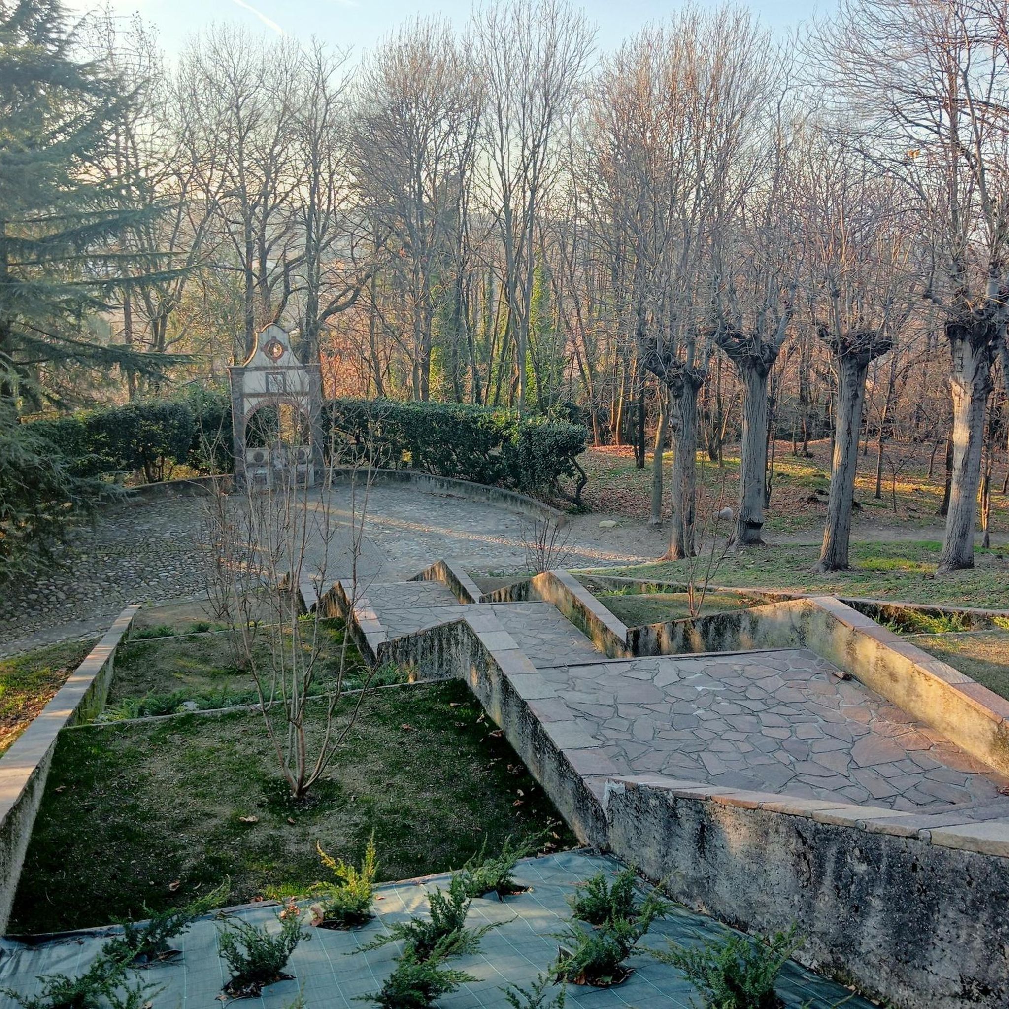
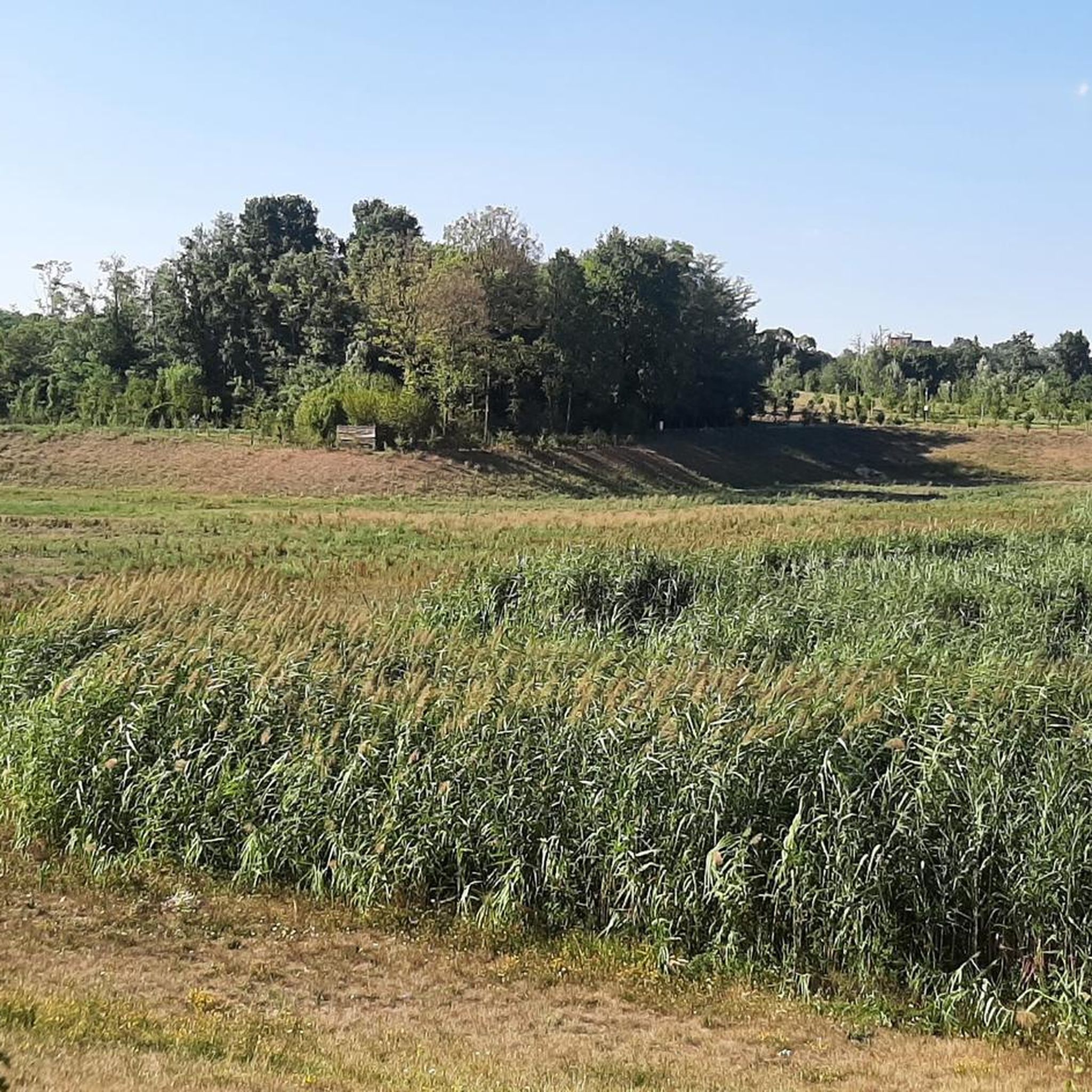
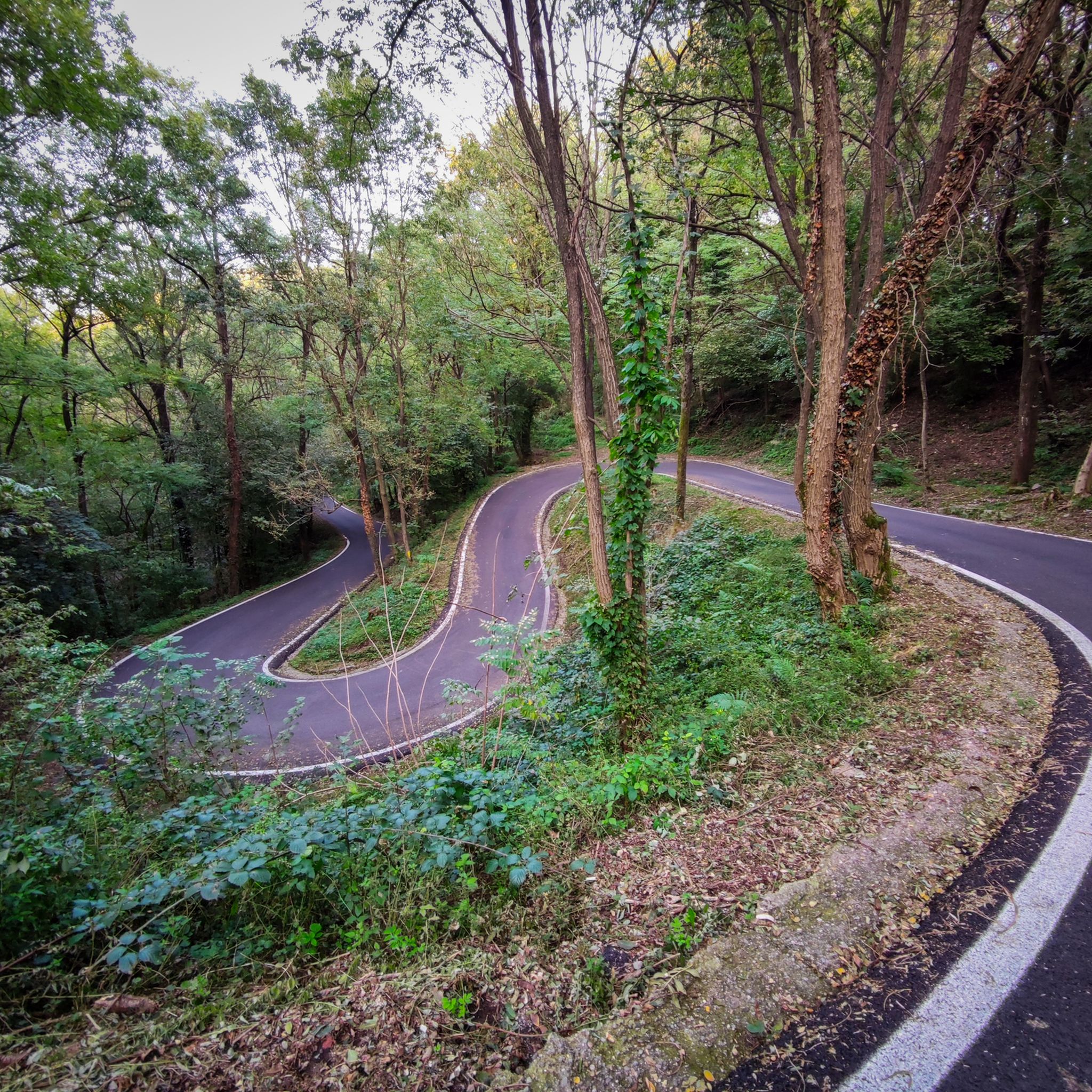
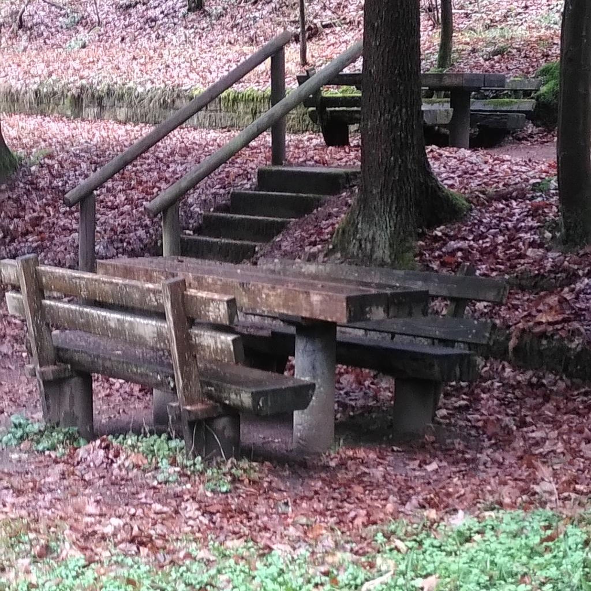
Tips from the Community

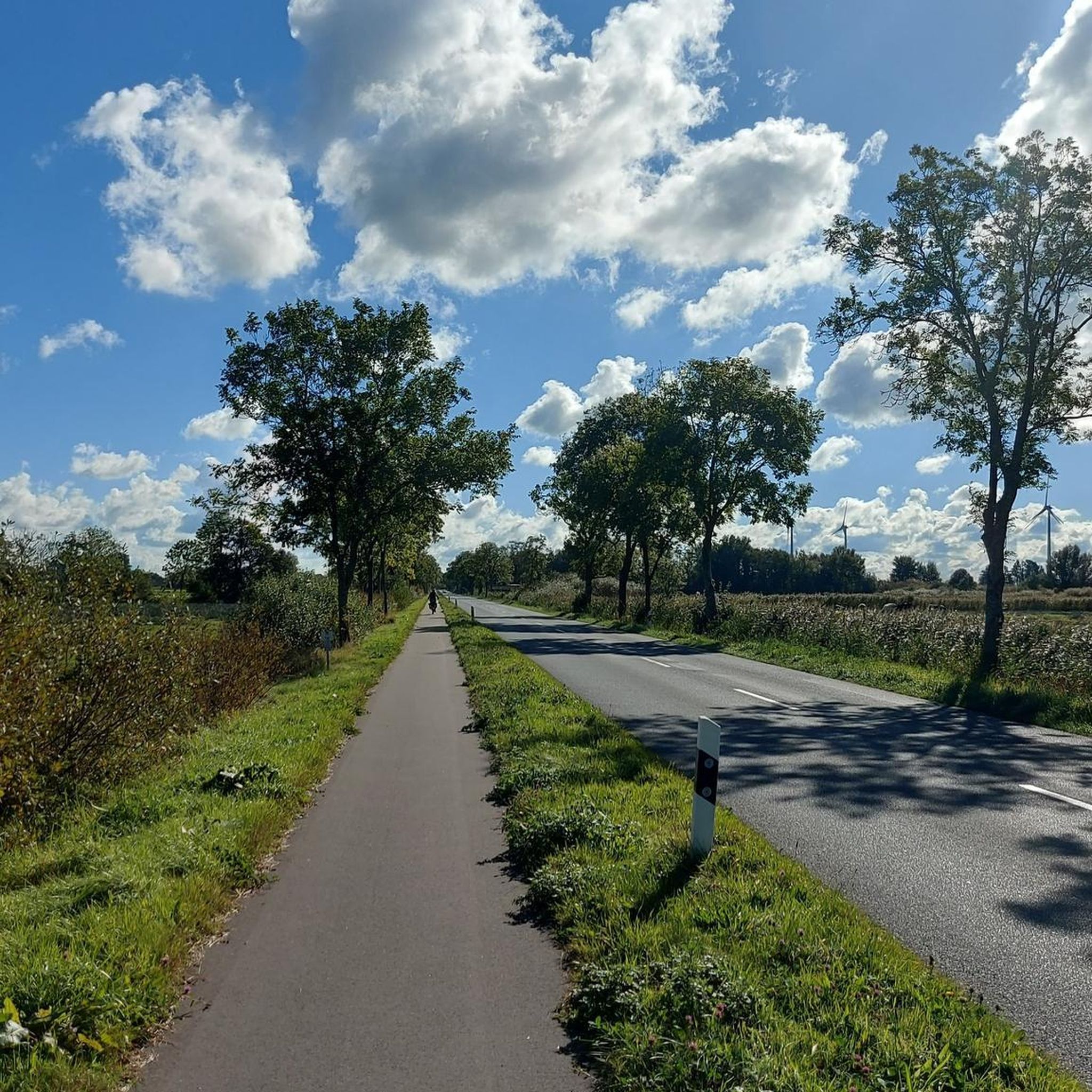
The Lura (traditionally called la Lura in the Lombard language) is a stream in Lombardy, 46.2 kilometers long, which originates on the Italian-Swiss border and flows as the main tributary into the Olona river at Rho. The watercourse develops from north to south, crossing 20 Municipalities located within three Lombard provinces: Como, Varese, and Milan
0
0

Serpiano cable car
0
0


Frequently Asked Questions
How many mountain bike trails are available around Bulgarograsso?
There are over 350 mountain bike trails around Bulgarograsso, offering a wide range of options for different skill levels. The komoot community has explored over 9,000 mountain bike tours in the area.
Are there easy mountain bike trails suitable for beginners in Bulgarograsso?
Yes, Bulgarograsso offers over 90 easy mountain bike trails. A good option for beginners is the Lura Stream – Easy Forest Trail loop from Oltrona di San Mamette, which provides a gentle ride through forest trails.
What kind of terrain can I expect on mountain bike trails in Bulgarograsso?
The mountain bike trails around Bulgarograsso feature diverse terrain, including picturesque pine forests, hilly sections, and areas near water features like the Ca' Bianca Pond and the Lura stream. You'll find varied topography with engaging routes and scenic viewpoints, especially with the region's proximity to Lake Como.
Are there any challenging mountain bike trails for advanced riders?
Yes, there are 76 difficult mountain bike trails around Bulgarograsso. For a more challenging ride, consider the Easy Forest Trail – Trail loop from Oltrona di San Mamette, which covers 32.1 miles (51.7 km) through varied forest terrain with significant elevation changes.
Are there mountain bike trails that offer scenic viewpoints or natural features?
Many trails in the region offer scenic views, particularly those with elevated sections providing panoramic views over Lake Como. You can also explore areas with picturesque pine forests, such as those found along the Pineta Park, and natural features like the Ca' Bianca Pond. For specific natural monuments, consider visiting Lake Montorfano or the Pin Umbrela viewpoint.
Are there any circular mountain bike routes in the area?
Yes, many mountain bike routes around Bulgarograsso are designed as loops. An example is the Madonna dell'Assunta – Former Valmorea Railway loop from Oltrona di San Mamette, a moderate 27.2 miles (43.8 km) trail that follows parts of the former Valmorea Railway.
What do other mountain bikers enjoy the most about mountain biking in Bulgarograsso?
The area is highly rated by the komoot community, with an average score of 4.4 stars from over 1,500 reviews. Reviewers often praise the diverse landscape, including pine forests and water features, and the variety of trails catering to different skill levels.
Are there any historical landmarks or attractions accessible by mountain bike?
While riding, you might encounter historical sites. For example, the Madonna dell'Assunta – Former Valmorea Railway loop follows an old railway line. Nearby attractions include several castles like Castello di Carimate and Baradello Castle, as well as historical sites like Villa Olmo.
What is the best time of year to go mountain biking in Bulgarograsso?
Bulgarograsso, located in Lombardy, Italy, generally offers pleasant conditions for mountain biking during spring and autumn when temperatures are milder. Summer can be warm, but shaded routes through pine forests provide relief. Winter might see some trails affected by colder weather or occasional precipitation.
Are there mountain bike trails near Bulgarograsso with parking facilities?
Many trailheads in the region, especially those starting from towns like Oltrona di San Mamette or Appiano Gentile, typically offer parking options. It's advisable to check specific route details on komoot for precise parking information at the start of your chosen trail.
Can I access mountain bike trails in Bulgarograsso using public transport?
The Lombardy region has a public transport network, and some trail starting points may be accessible by local buses or trains. For detailed information on public transport connections to specific trailheads, it's best to consult local transport schedules or use online route planners.
Most popular routes around Bulgarograsso
Most popular attractions around Bulgarograsso

Get inspired with the komoot mobile app


Explore more
Browse the best MTB trails in other regions.
