The best mountain hikes around Puegnago del Garda
4.3
(23)
158
hikers
10
hikes
Mountaineering around Puegnago del Garda is characterized by its location within the Morainic Hills of Valtenesi, offering a landscape of meadows, forests, and sun-drenched hills. While direct high-alpine mountaineering is limited within the immediate vicinity, the broader Lake Garda region provides more challenging routes, including via ferrata and peaks over 2000 meters. The local terrain features significant elevation changes and panoramic views of Lake Garda, with trails often winding through vineyards and olive groves. This area serves as a base…
Last updated: May 24, 2026
5.0
(2)
8
hikers
9.68km
03:29
490m
490m
Moderate mountaineering route. Good fitness required. Mostly accessible paths. Sure-footedness required.
3.0
(1)
7
hikers
18.1km
06:26
900m
900m
Hard mountaineering route. Very good fitness required. Mostly accessible paths. Sure-footedness required.

Sign up for free
4.5
(2)
10
hikers
20.9km
07:35
1,220m
1,220m
Hard mountaineering route. Very good fitness required. Mostly accessible paths. Sure-footedness required.
3
hikers
7.52km
03:02
450m
450m
Moderate mountaineering route. Good fitness required. Mostly accessible paths. Sure-footedness required.
5
hikers
12.7km
05:30
770m
770m
Hard mountaineering route. Very good fitness required. Sure-footedness, sturdy shoes and alpine experience required.
Get access to more routes and recommendations from other explorers.
Sign up for free
Already have an account?
Our route recommendations are based on thousands of hikes, rides, and runs completed by other people on komoot.
Start today with a free account
Your next adventure awaits.
Login or Signup

Tips from the Community

and it is very hard to climb, but when you reach the top all the effort is worth it.
0
0

360° views from the top of Pizzocolo
0
0
fork from where the various paths branch off
1
0

Beautiful to see and to photograph
0
0

To the right, the trail leads to the "SENTIERO ALPINISTICO TRE AMICI," which, according to bergsteigen.com, is supposed to be more difficult. But I wasn't wearing a helmet, it had rained the night before, and there are supposed to be steep grassy slopes, and I could still feel the effects of the three Campari Spritzers from the night before. So I continued straight ahead. From here, it's basically just steep walking terrain.
0
0

Beautiful waterfall behind the Madonna del Rio chapel.
3
0

The "Torre dell'Orologio" is actually the landmark of Salò. It's sometimes easily overlooked as the beautiful pedestrian zone begins here. Location: Piazza Angelo Zanelli, 20, 25087 Salò BS, Italy.
1
0

Frequently Asked Questions
How many mountaineering routes are available around Puegnago del Garda?
There are 10 mountaineering routes around Puegnago del Garda listed on komoot. These routes offer a mix of moderate and difficult options, catering to various skill levels.
What are the typical difficulty levels for mountaineering routes in this region?
The mountaineering routes around Puegnago del Garda range from moderate to difficult. You'll find 4 moderate routes and 6 difficult routes, often featuring significant elevation changes and varied terrain.
Are there any circular mountaineering routes available?
Yes, several routes are circular. For example, the Church of the Madonna del Rio – View of Salò and Lake Garda loop from Salò is a moderate 9 km circular trail. Another challenging option is the Monte Pizzocolo Summit loop from Colomber, which is a difficult 20.8 km route.
What kind of views can I expect on these mountaineering routes?
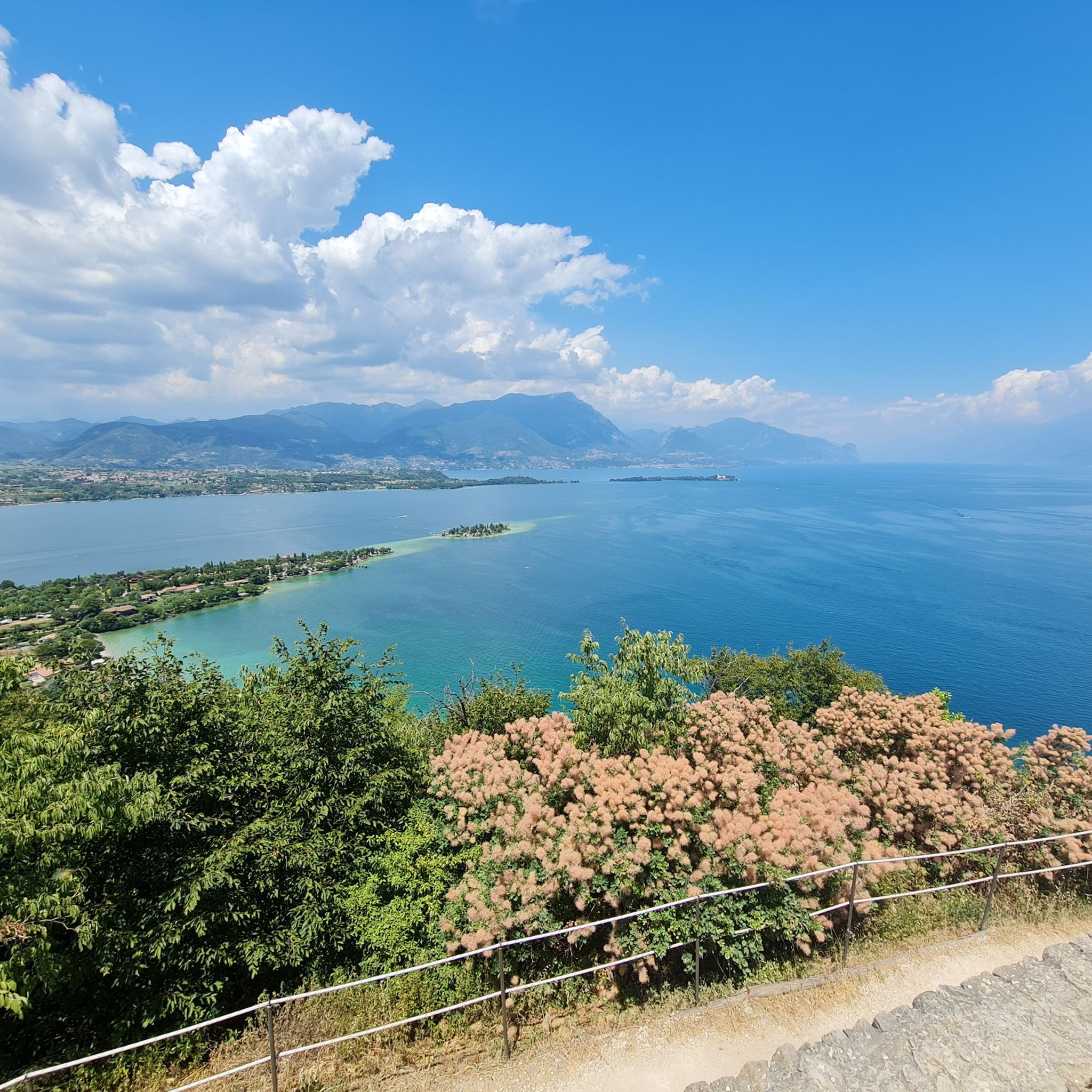
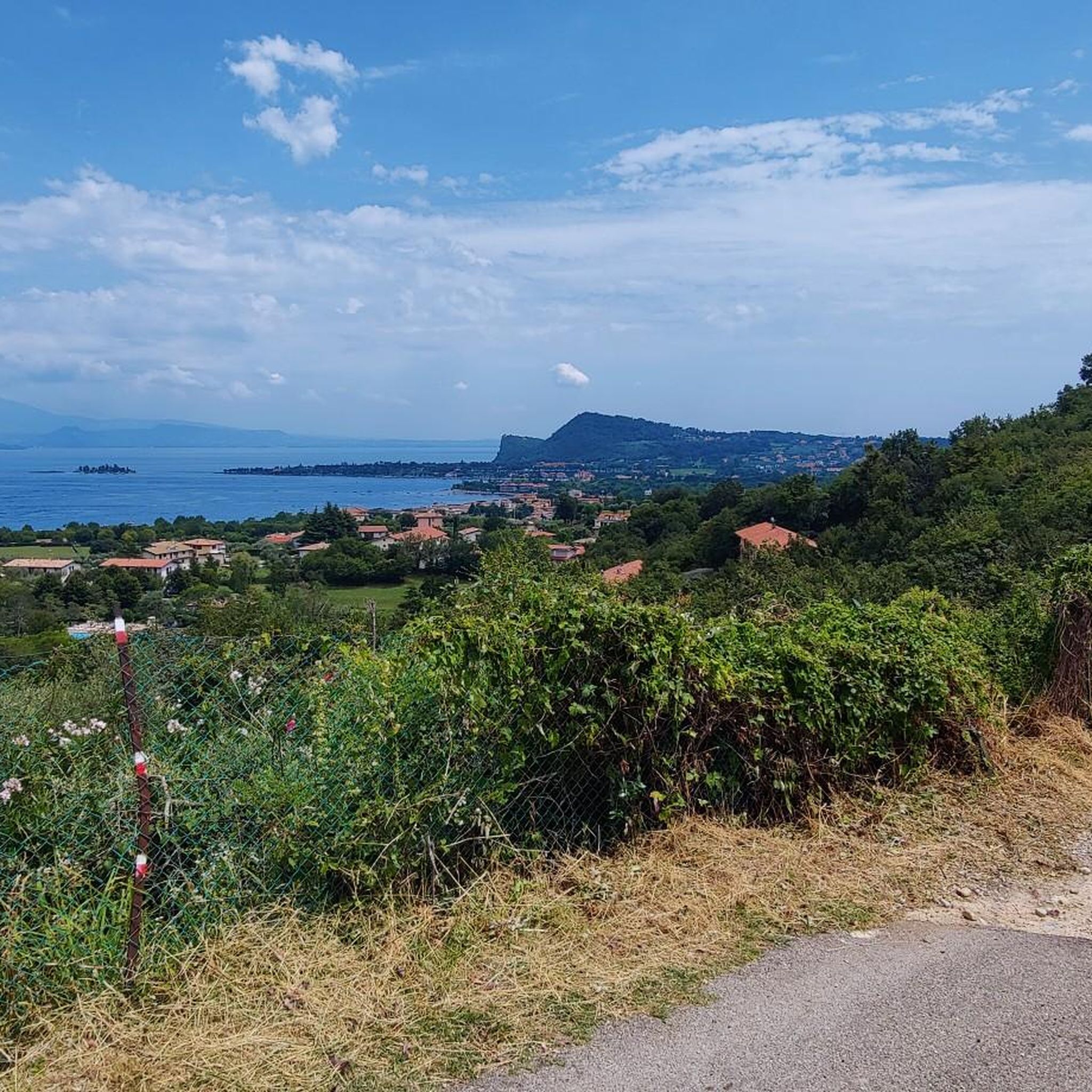
Many routes offer stunning panoramic views of Lake Garda and the surrounding morainic hills, often winding through vineyards and olive groves. From higher points, you can also catch glimpses of the majestic Monte Baldo. The View of Salò and Lake Garda loop from Salò is a great example of a route with expansive lake views.
What are some interesting landmarks or natural features to see along the routes?
You can explore various points of interest. The Rocca di Manerba del Garda offers incredible 360-degree views. Other notable spots include the Sanctuary of Madonna del Rio, the scenic Valley of the Paper Mills, and the Punta Sasso Viewpoint.
Is Puegnago del Garda a good base for more advanced climbing or via ferrata experiences?
While Puegnago del Garda itself offers more gentle hilly terrain, its strategic location near Lake Garda makes it an excellent base for accessing more challenging mountaineering. The wider Garda Trentino area, particularly around Arco, is renowned for world-class rock climbing and numerous via ferratas. One challenging route that includes a via ferrata is the Ferrata Spigolo delle Bandiera – Rifugio Piano Dallo Spino loop from Colomber.
What do other mountaineers say about the routes in Puegnago del Garda?
The routes in Puegnago del Garda are highly rated by the komoot community, with an average score of 4.4 stars from over 20 reviews. Mountaineers often praise the diverse terrain, the stunning Lake Garda views, and the well-maintained paths through vineyards and olive groves.
Are there any family-friendly mountaineering options?
While many routes are moderate to difficult, the gentler morainic hills around Puegnago del Garda offer paths suitable for leisurely walks. For specific family-friendly mountaineering, it's best to look for routes explicitly marked as easy or those with minimal elevation gain, though currently, all listed mountaineering routes are moderate or difficult.
What is the best time of year for mountaineering in this region?
The region is generally pleasant for outdoor activities from spring through autumn. Spring offers lush greenery and blooming landscapes, while autumn provides comfortable temperatures and vibrant fall colors. Summer can be warm, so early morning starts are recommended. Winter mountaineering options are limited in the immediate vicinity due to the lower elevation of the morainic hills, but higher peaks in the broader Lake Garda region may offer winter challenges.
Are the mountaineering routes dog-friendly?
Many trails in the Puegnago del Garda area are suitable for dogs, especially those through the morainic hills and vineyards. However, always check specific route details and local regulations regarding dogs, especially in nature reserves or protected areas. Ensure your dog is on a leash and you carry waste bags.
What are the typical durations for these mountaineering routes?
Route durations vary significantly based on difficulty and length. Moderate routes, like the 9 km Church of the Madonna del Rio – View of Salò and Lake Garda loop from Salò, typically take around 3 hours 14 minutes. More difficult and longer routes, such as the 20.8 km Monte Pizzocolo Summit loop from Colomber, can take over 7 hours 30 minutes.
Most popular routes around Puegnago del Garda
Most popular attractions around Puegnago del Garda

Get inspired with the komoot mobile app


Explore more
Browse the best Mountain Hikes & Routes in other regions.
